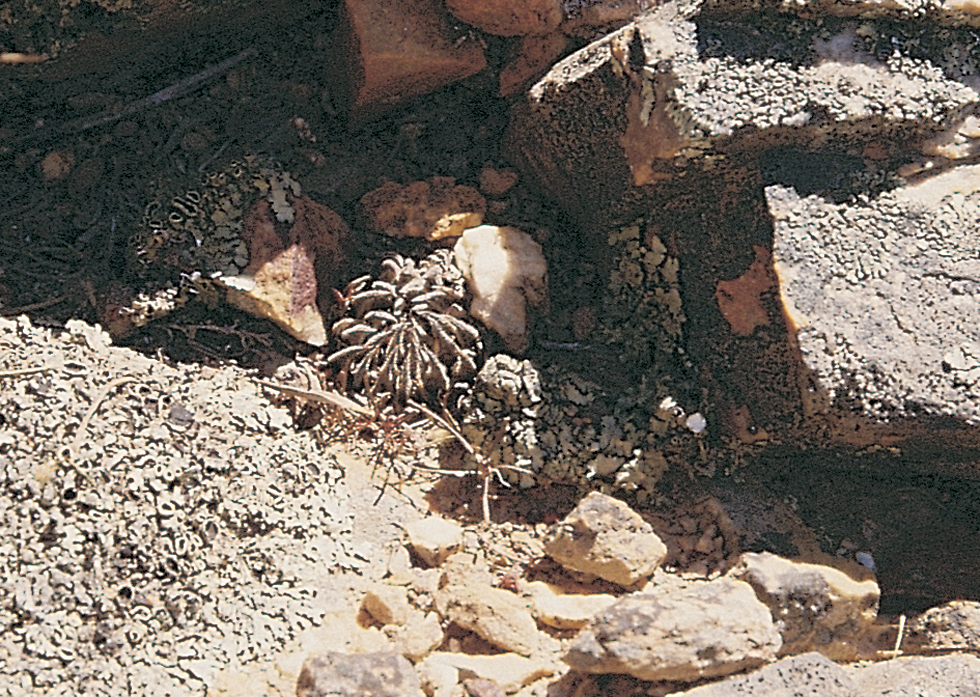
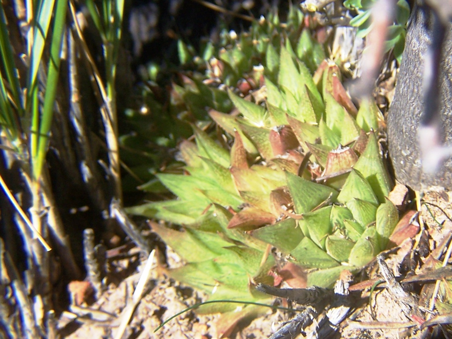
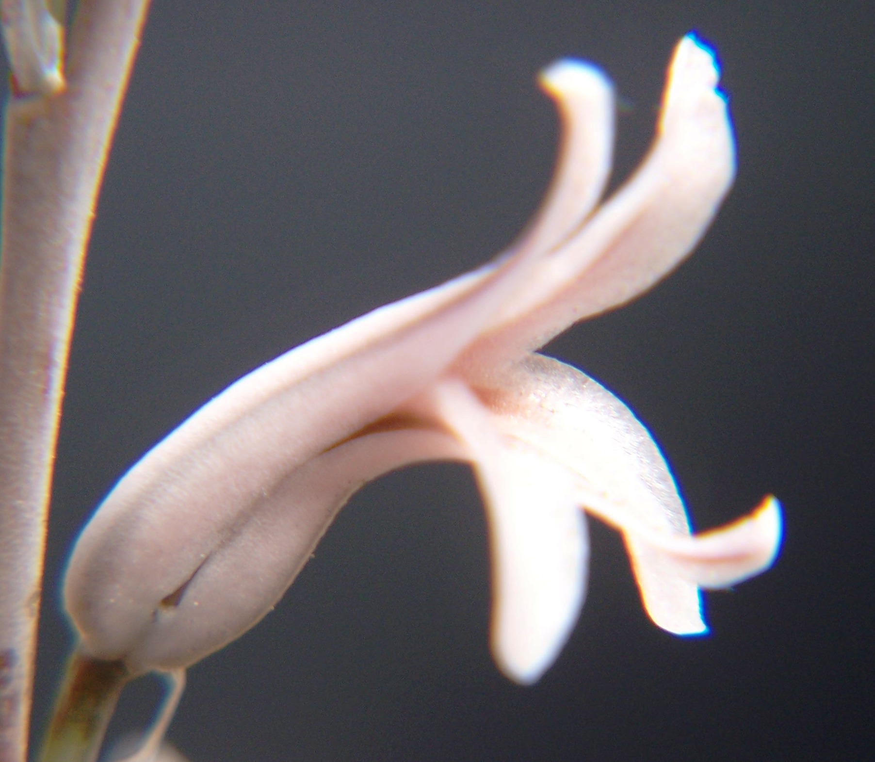
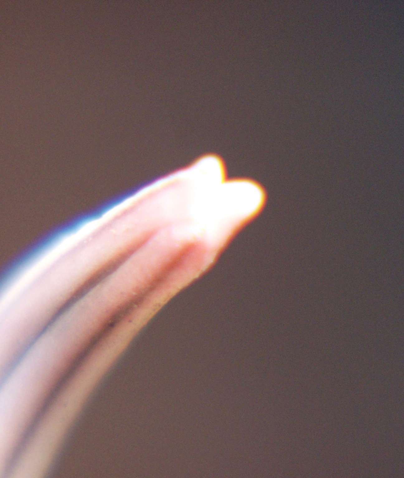
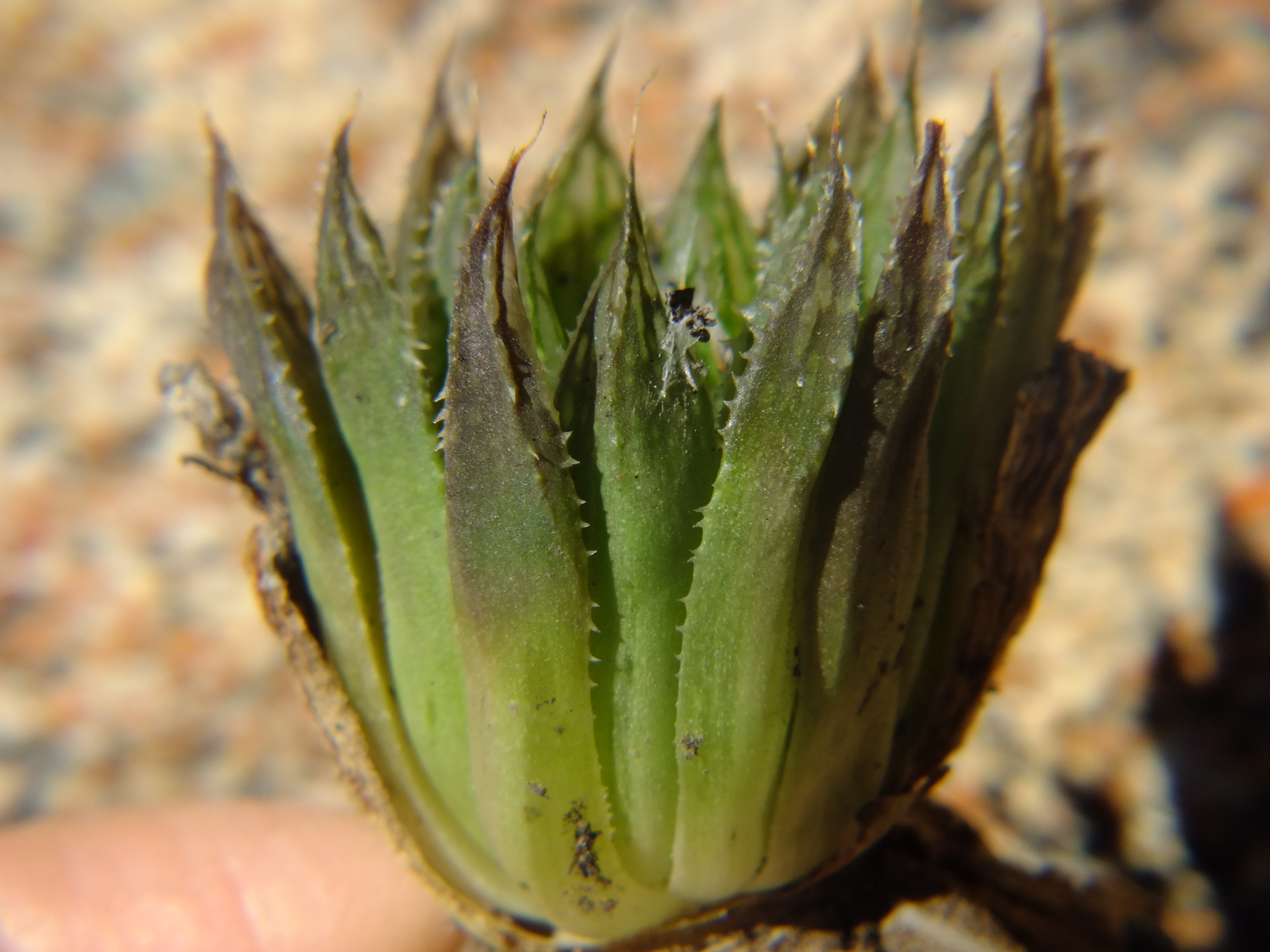
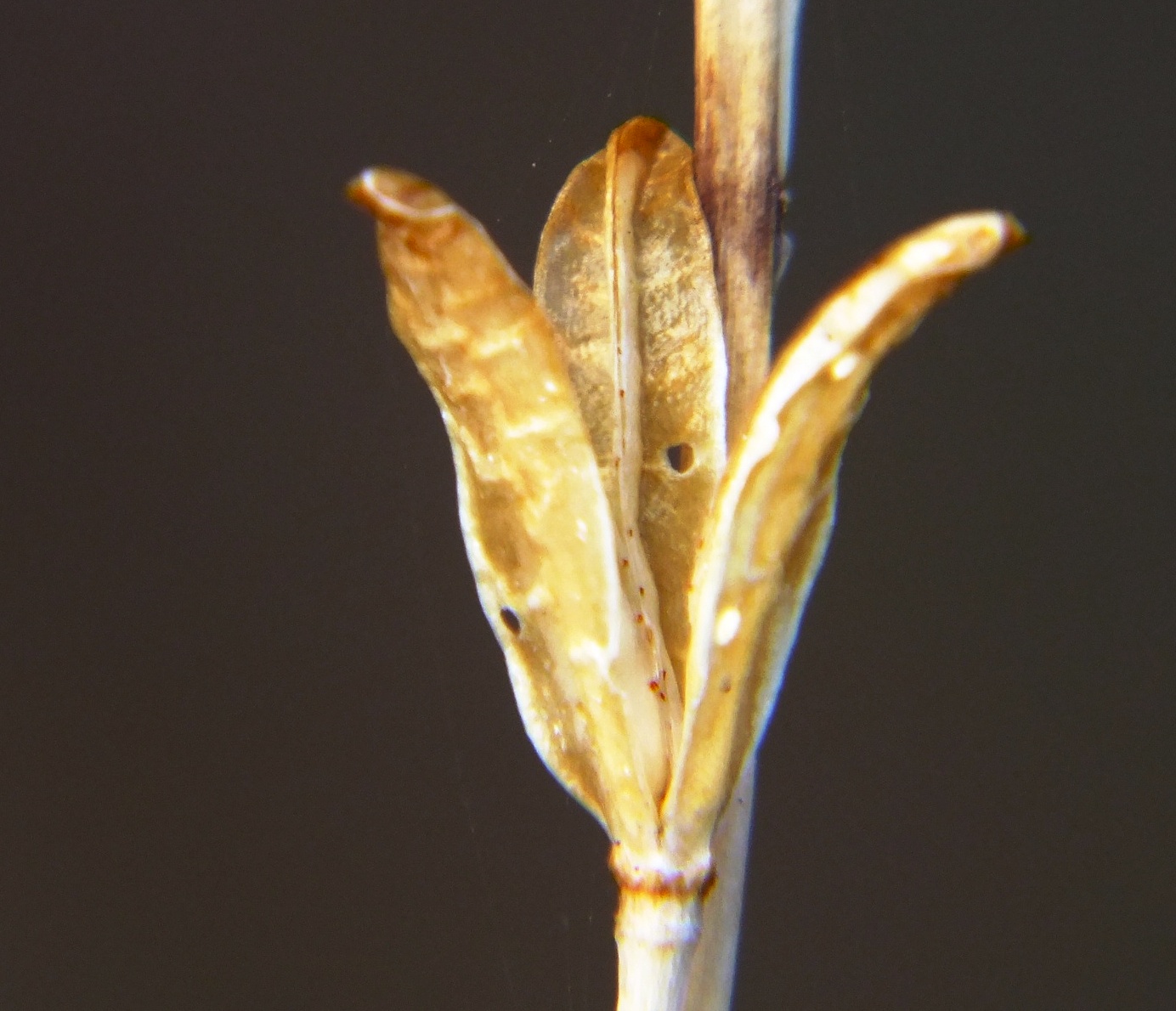
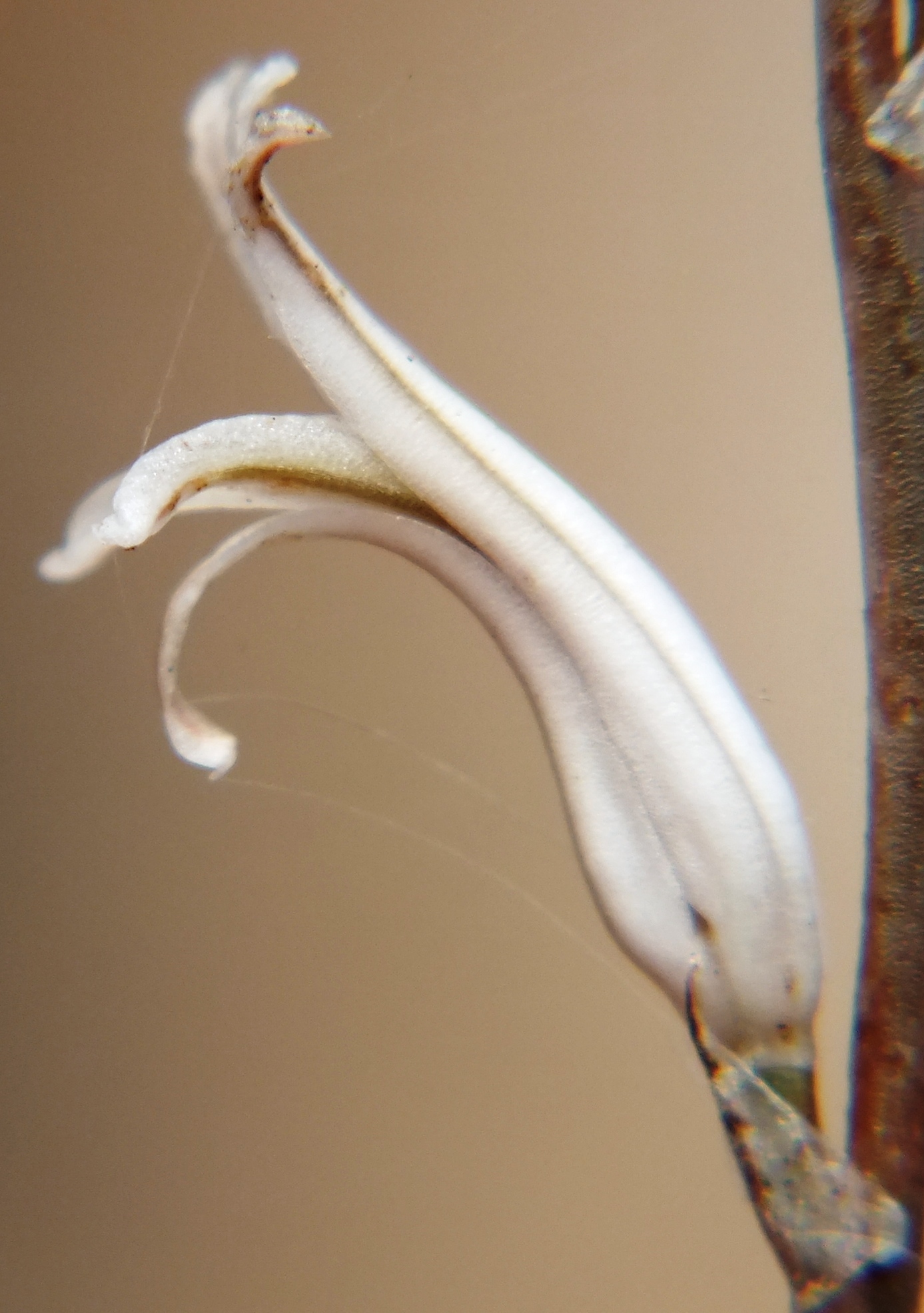
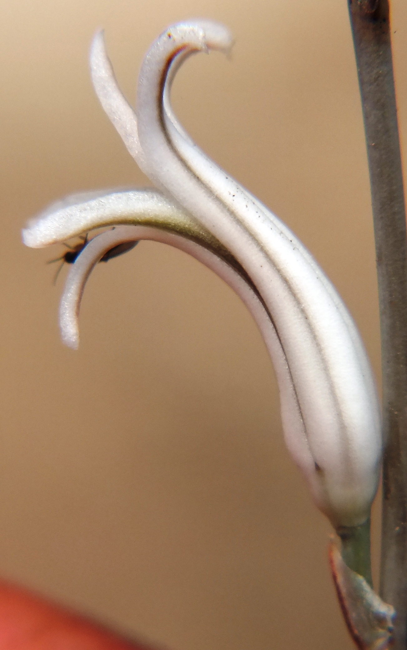
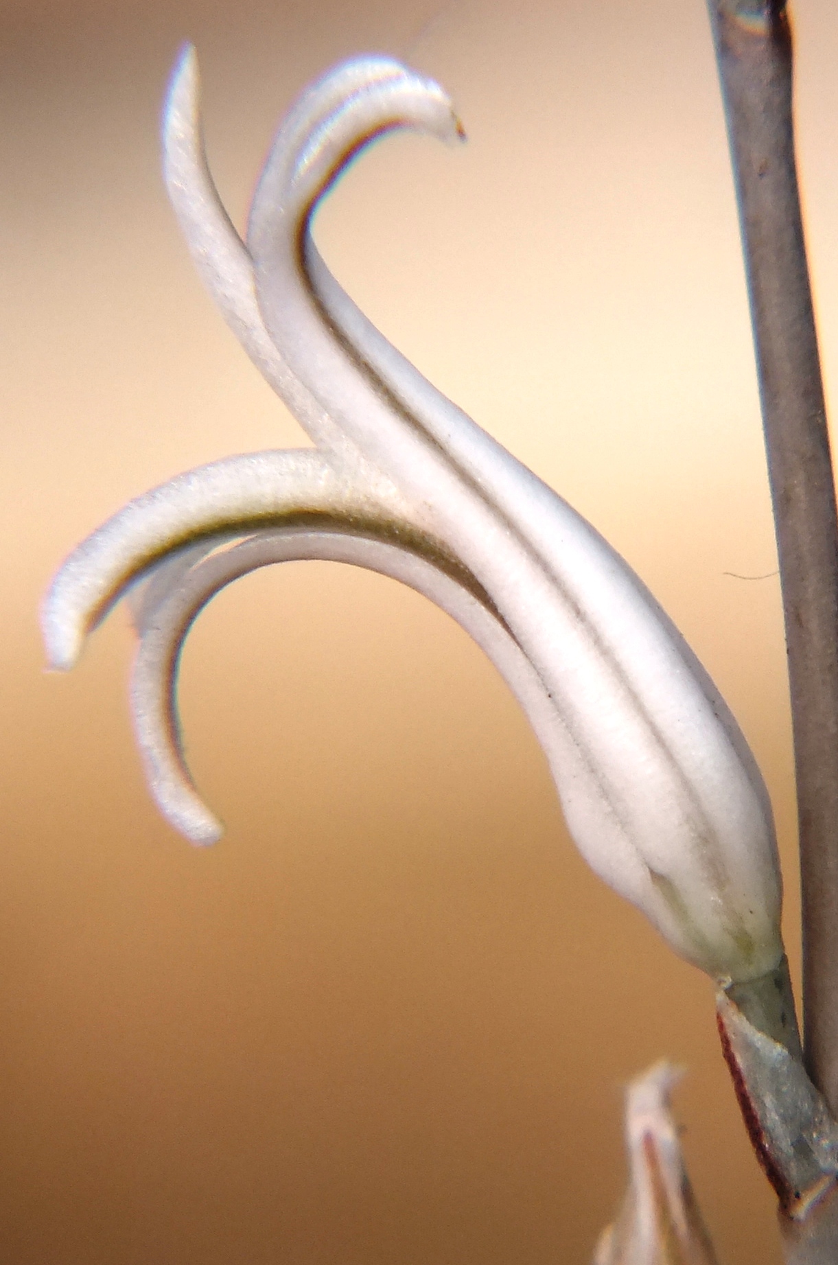
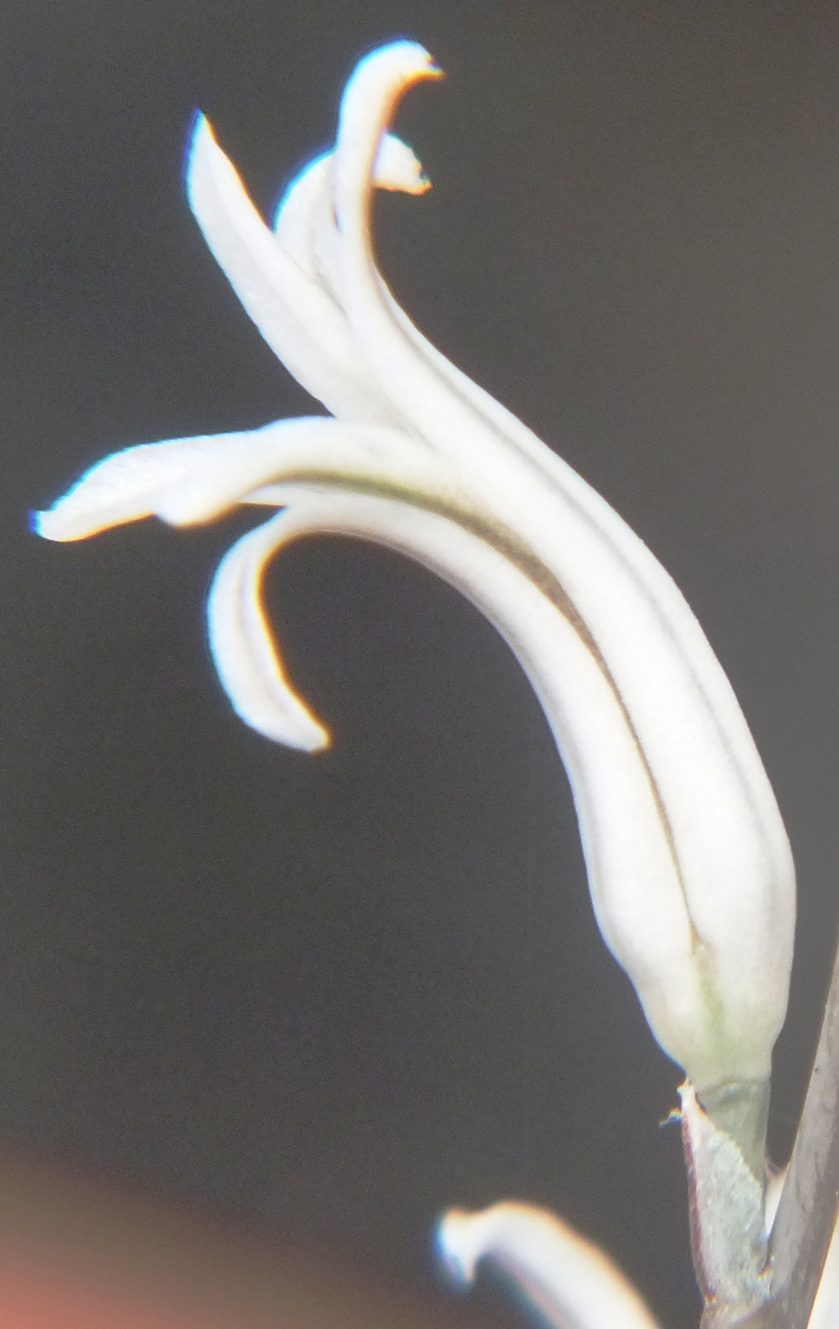
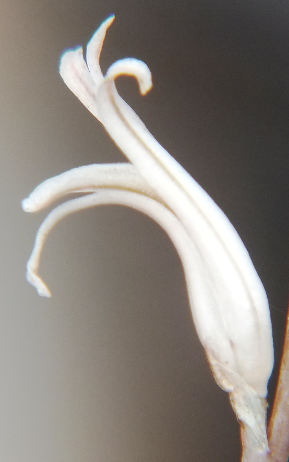
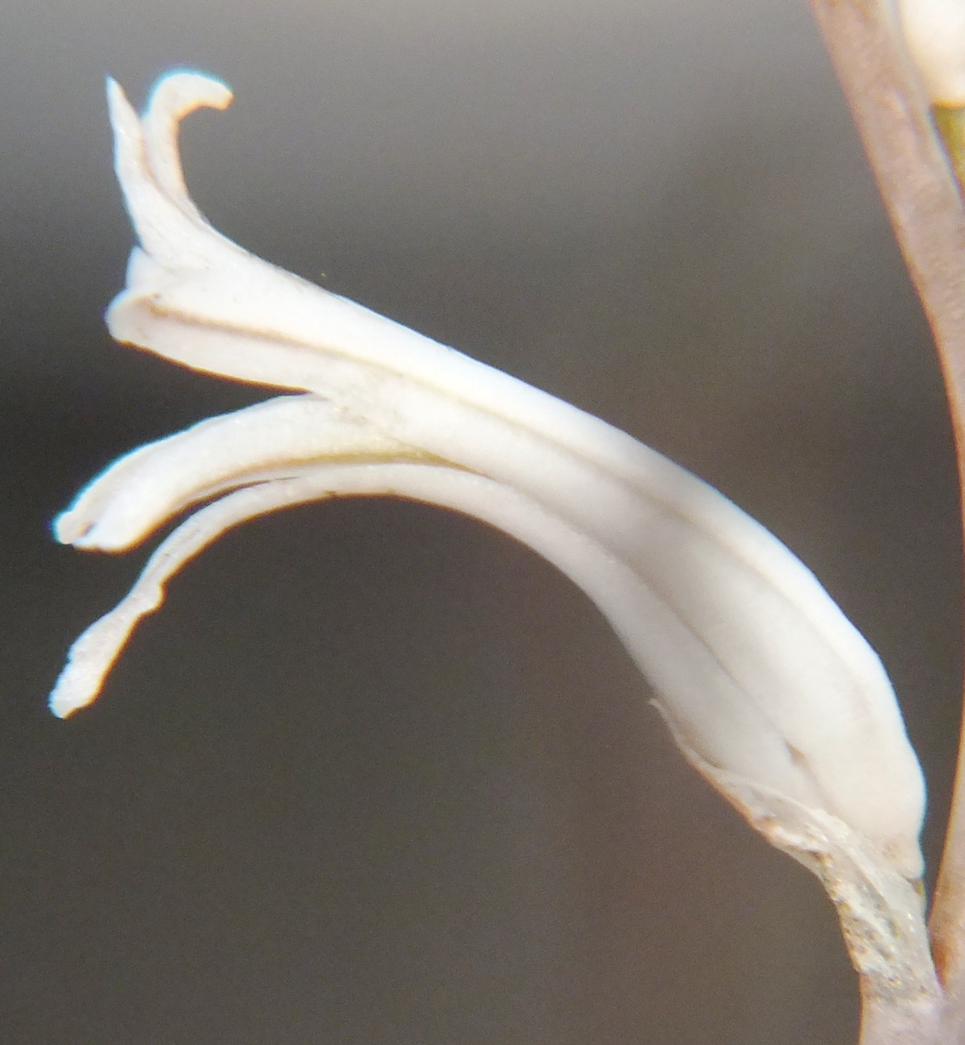
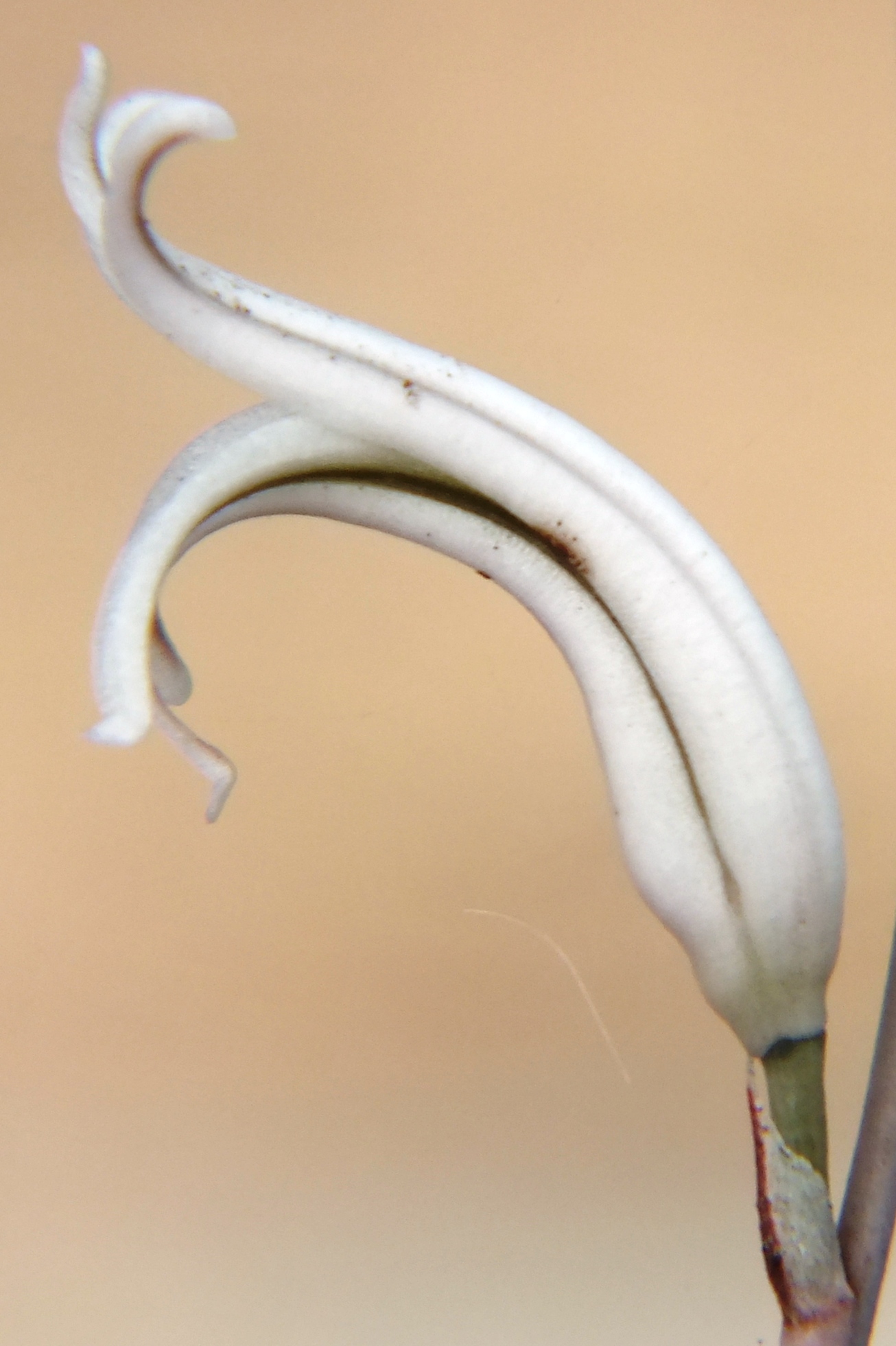
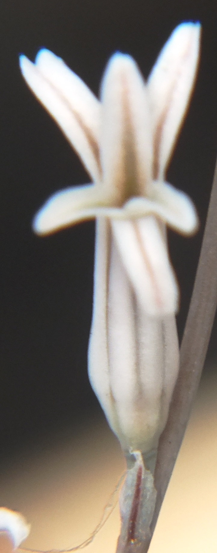
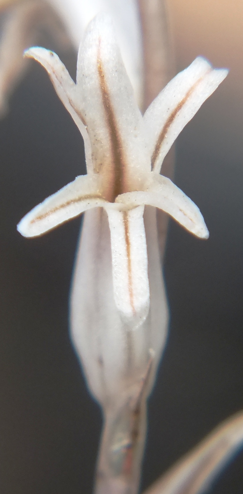
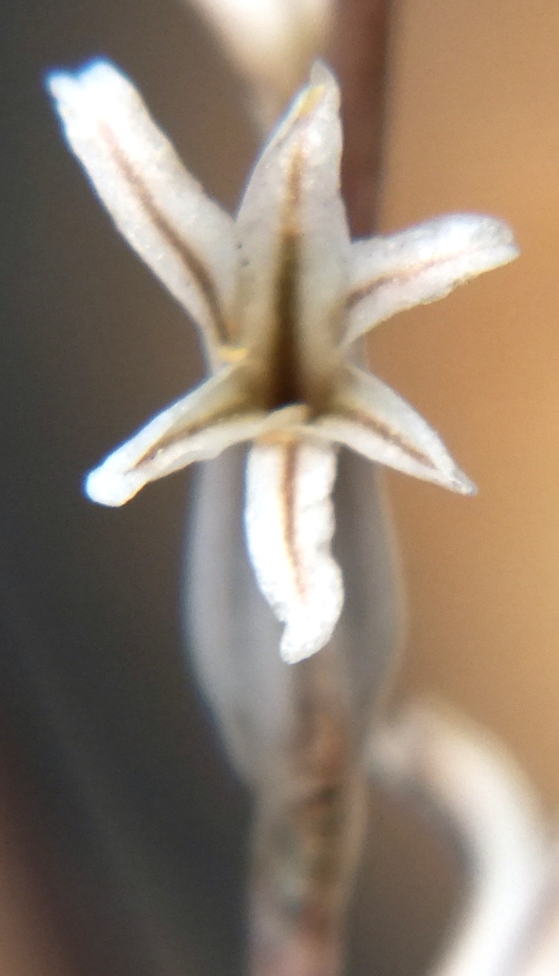
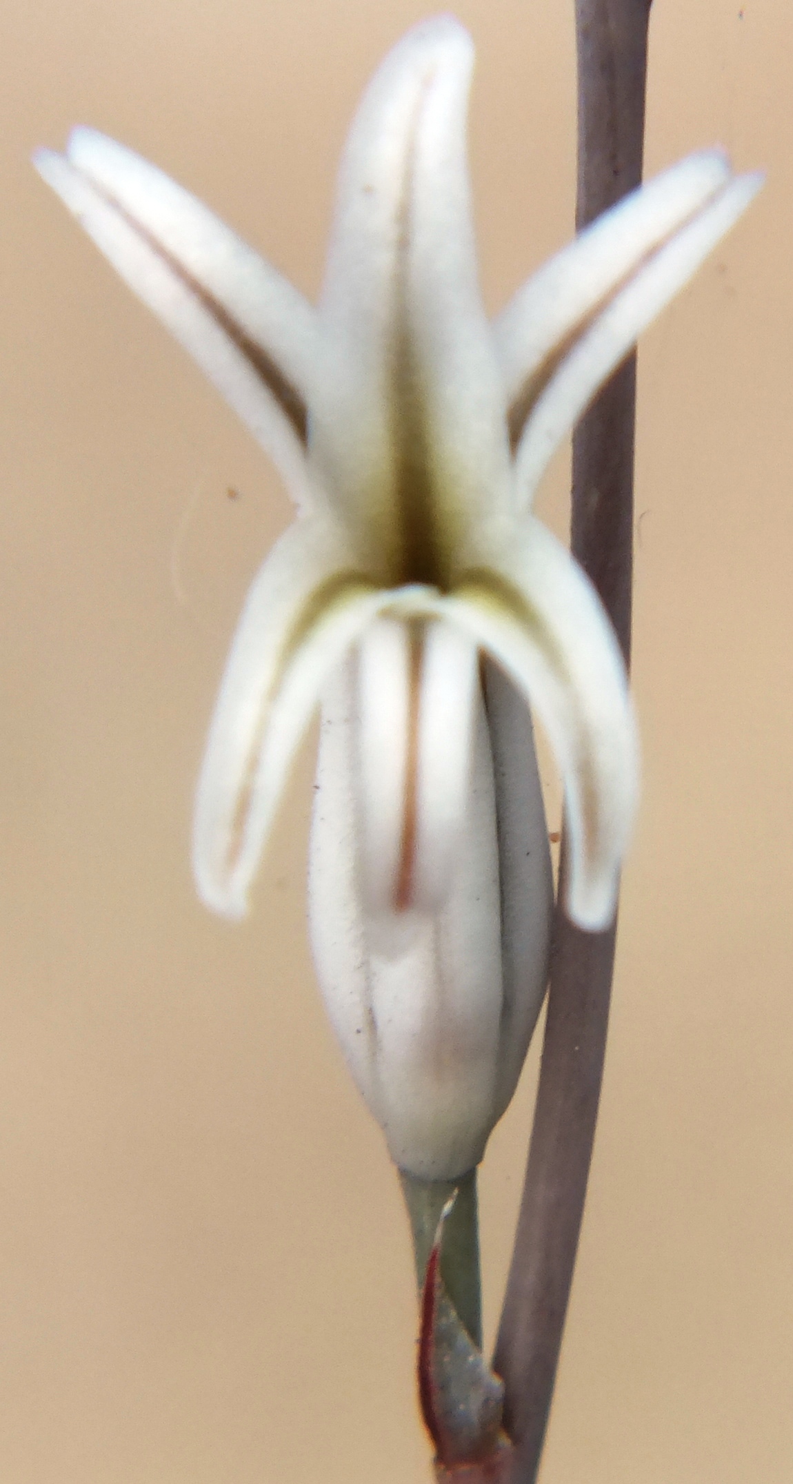
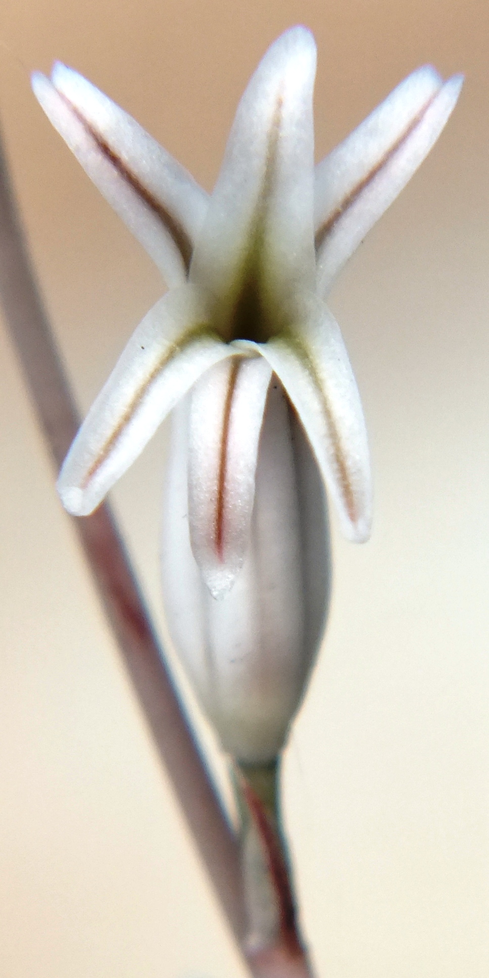
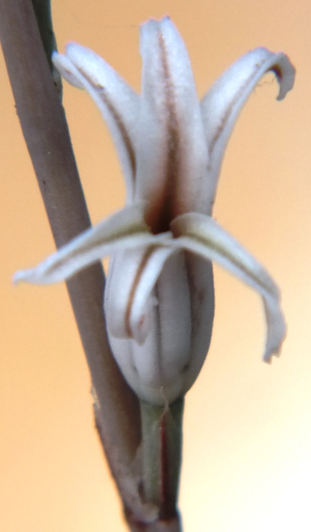
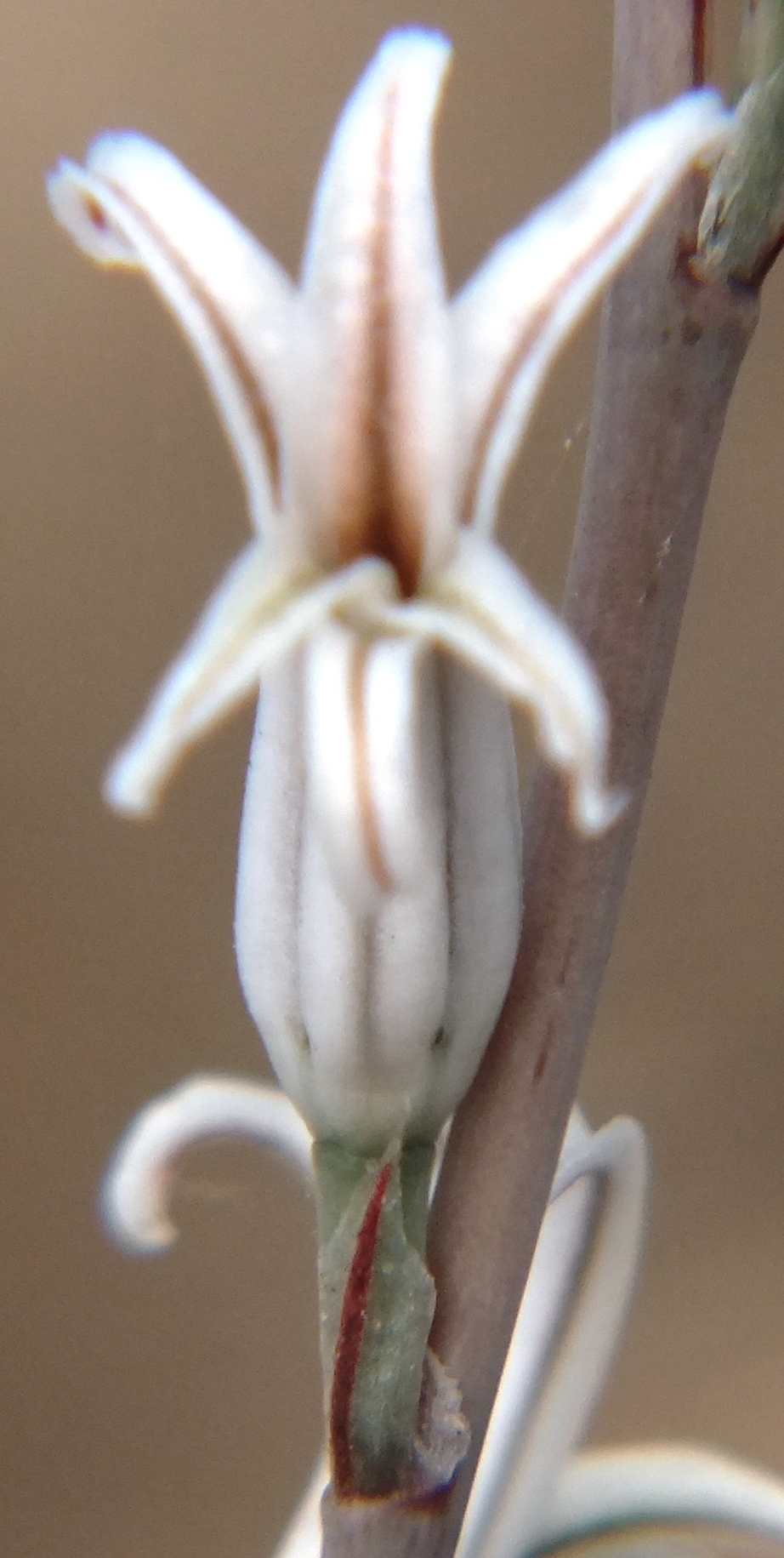
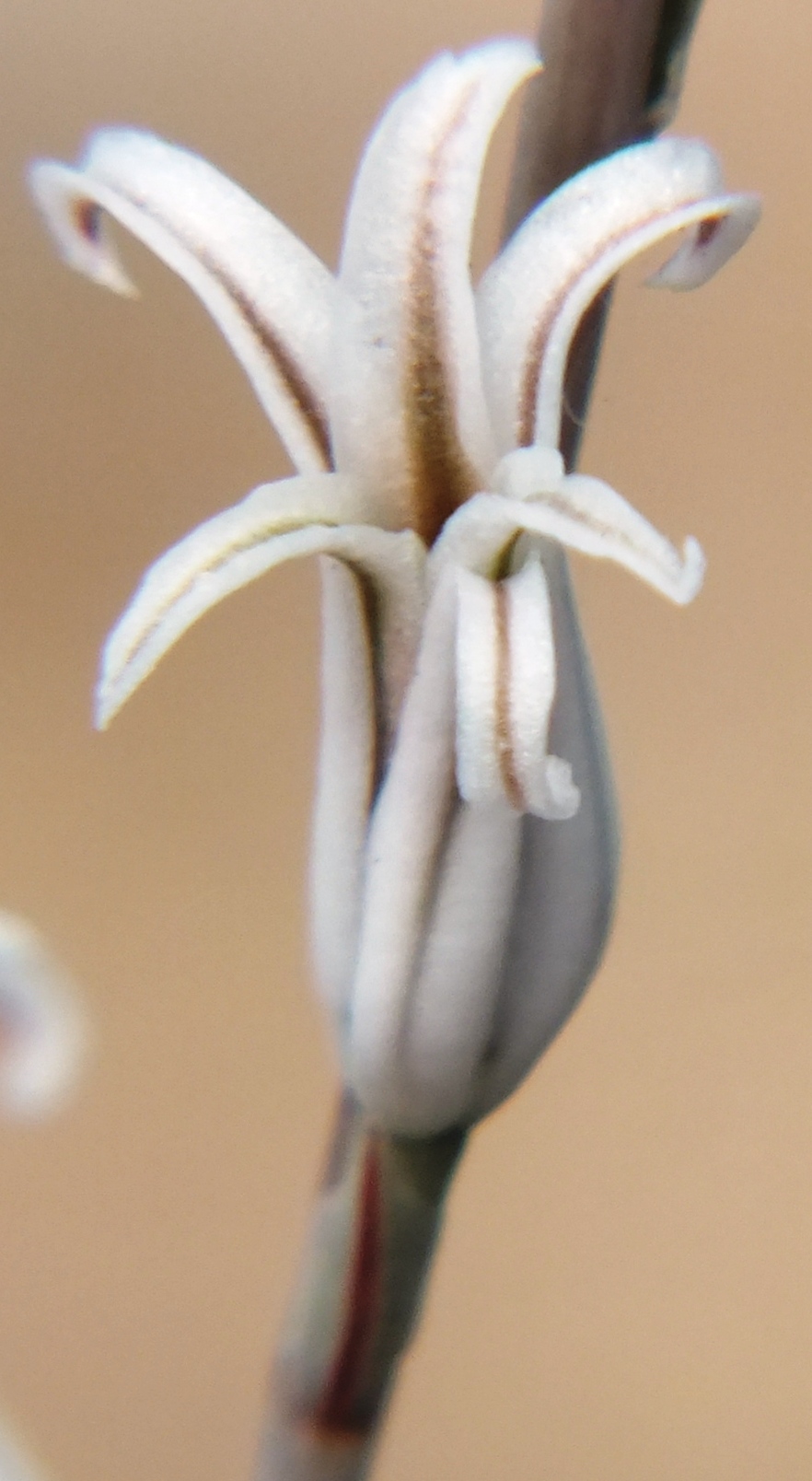
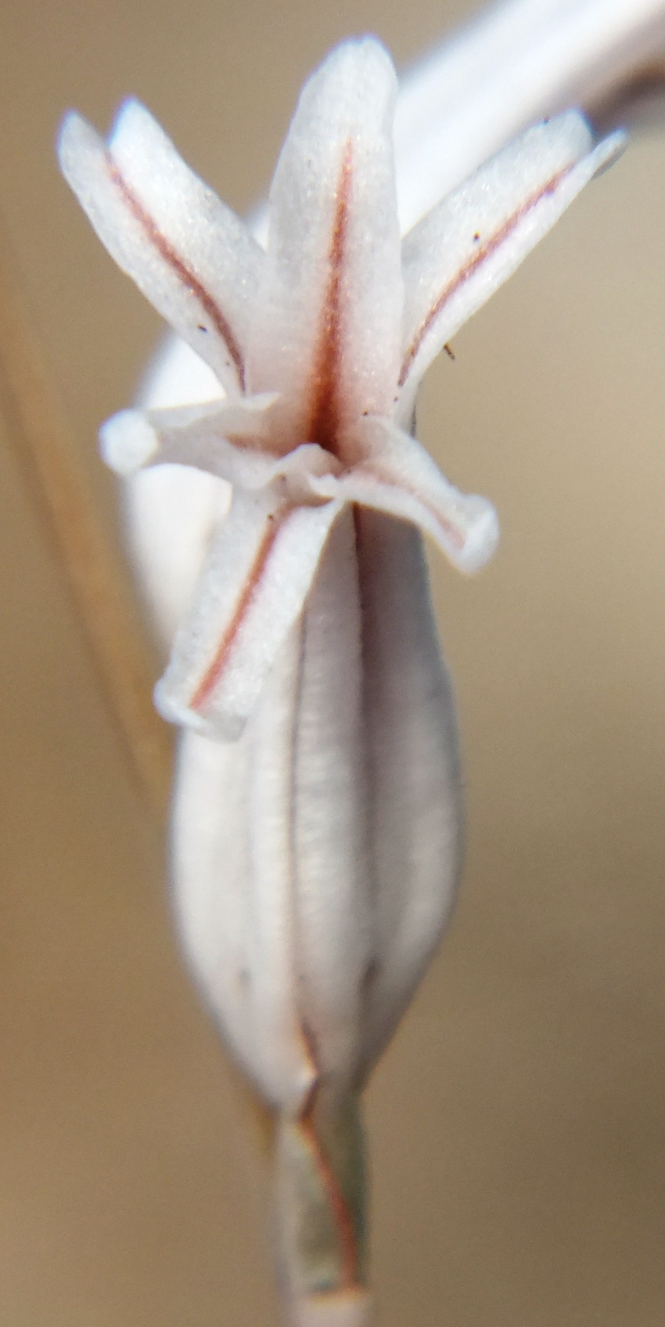
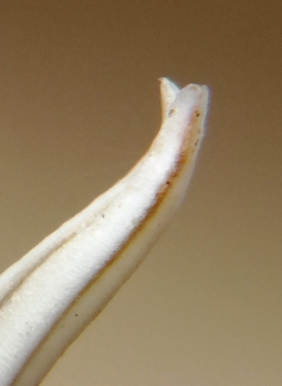
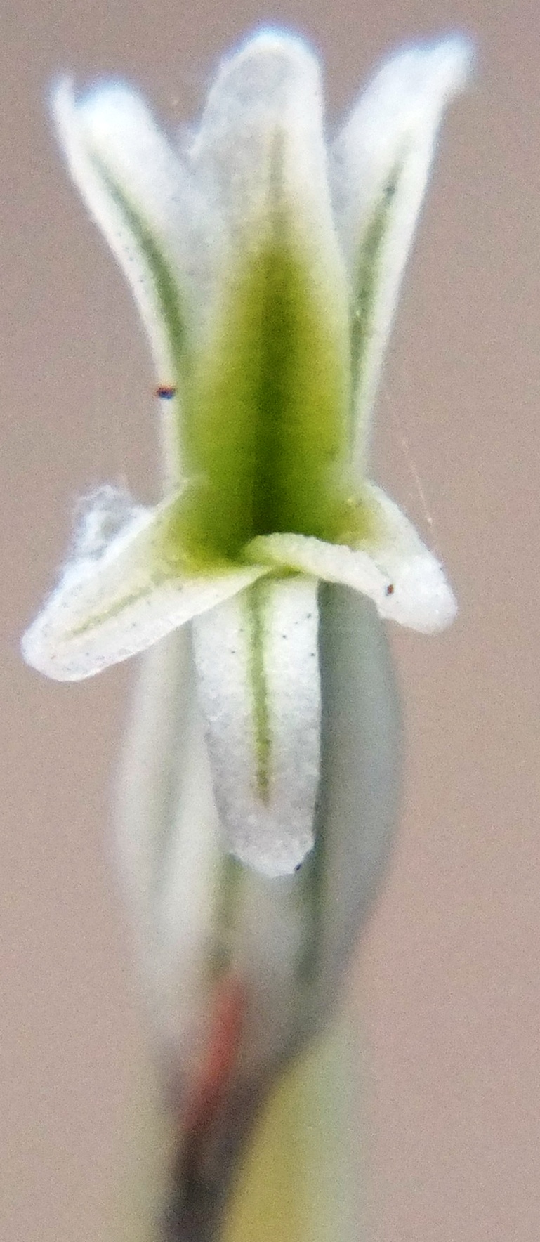
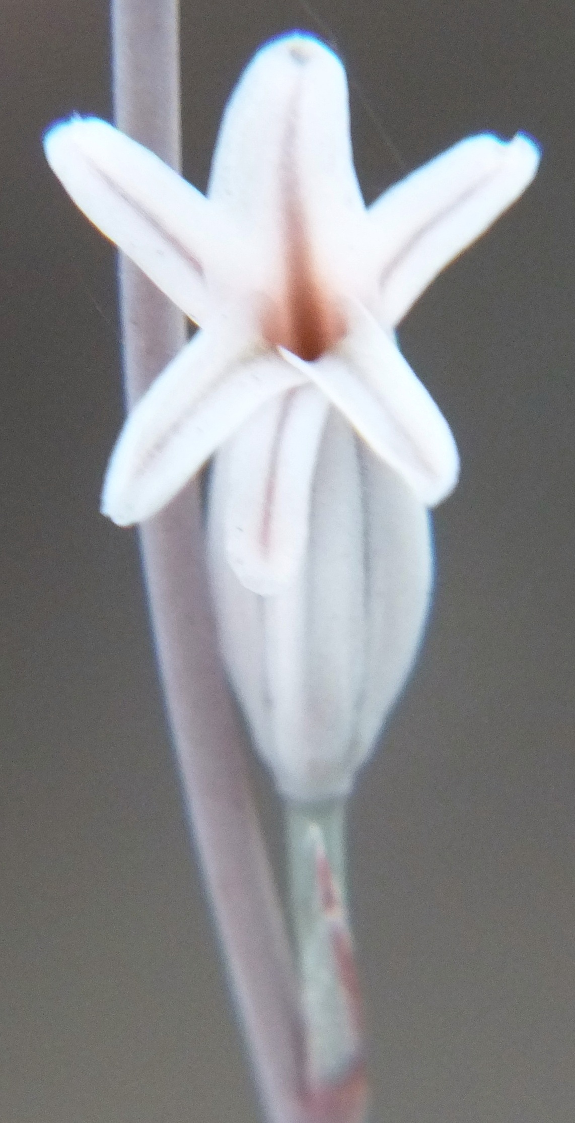
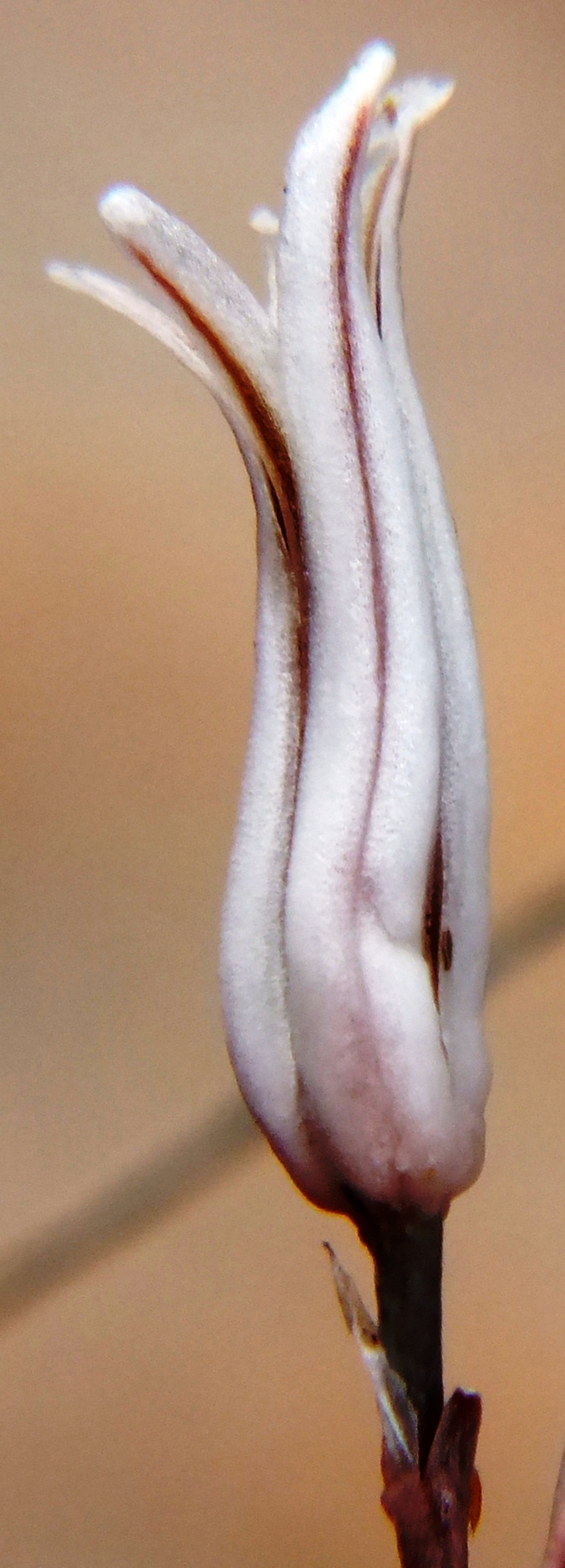
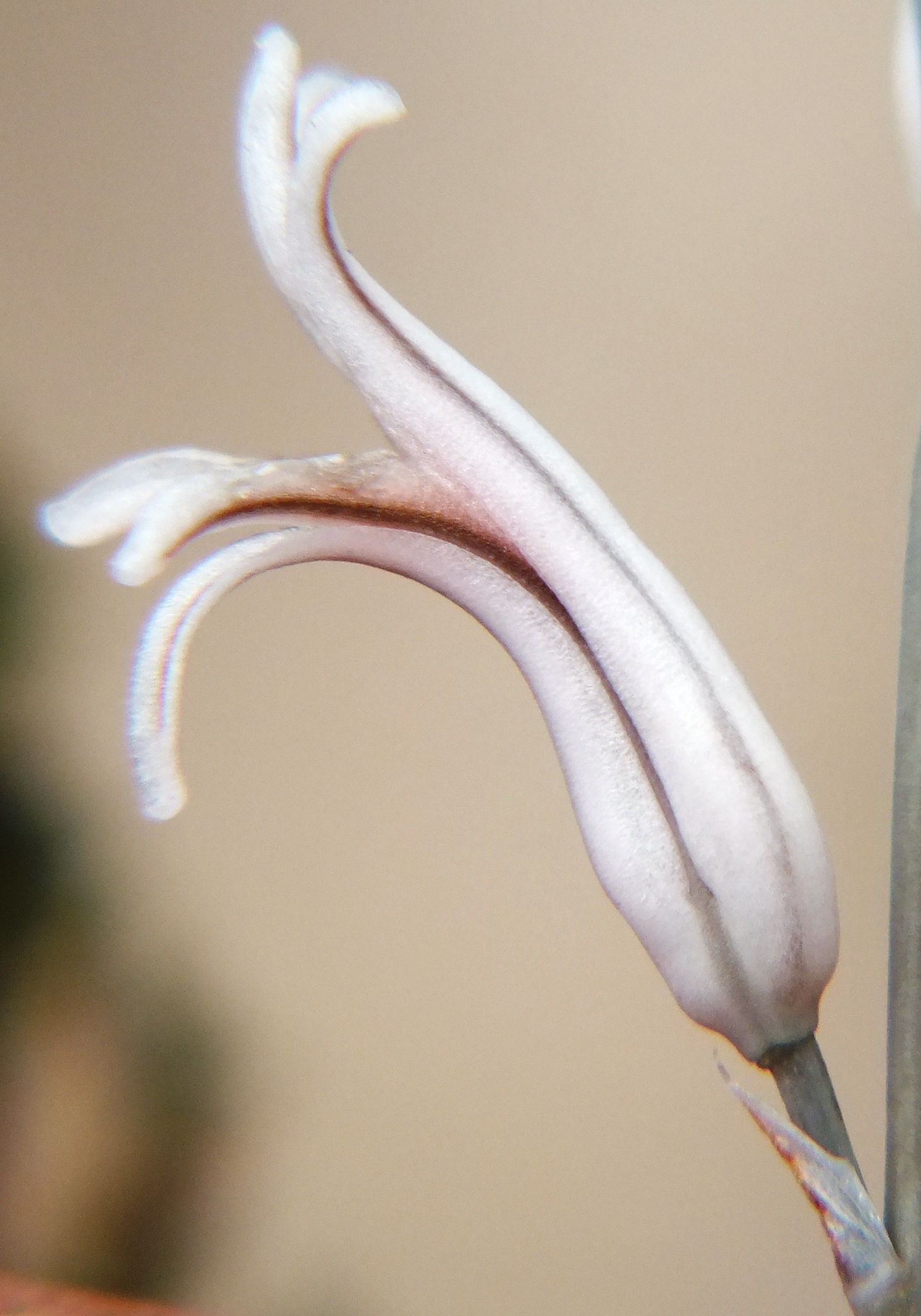
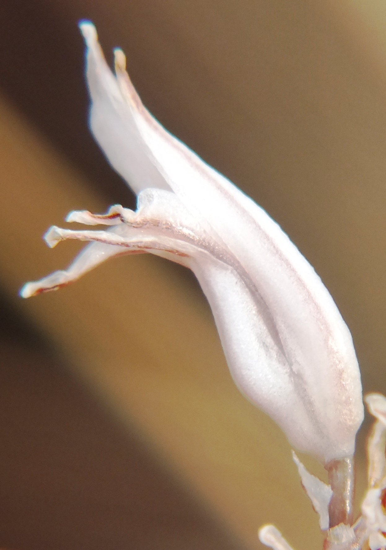
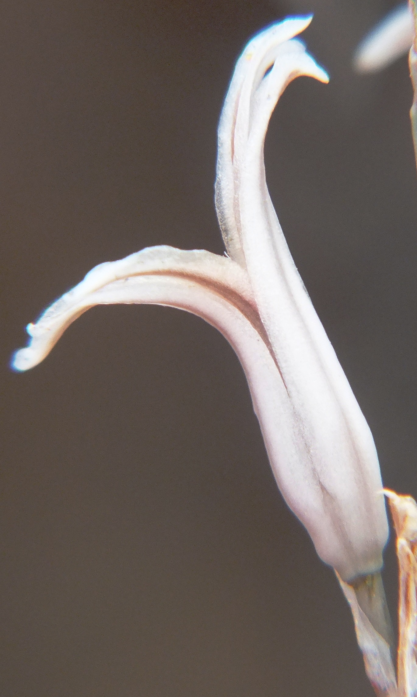
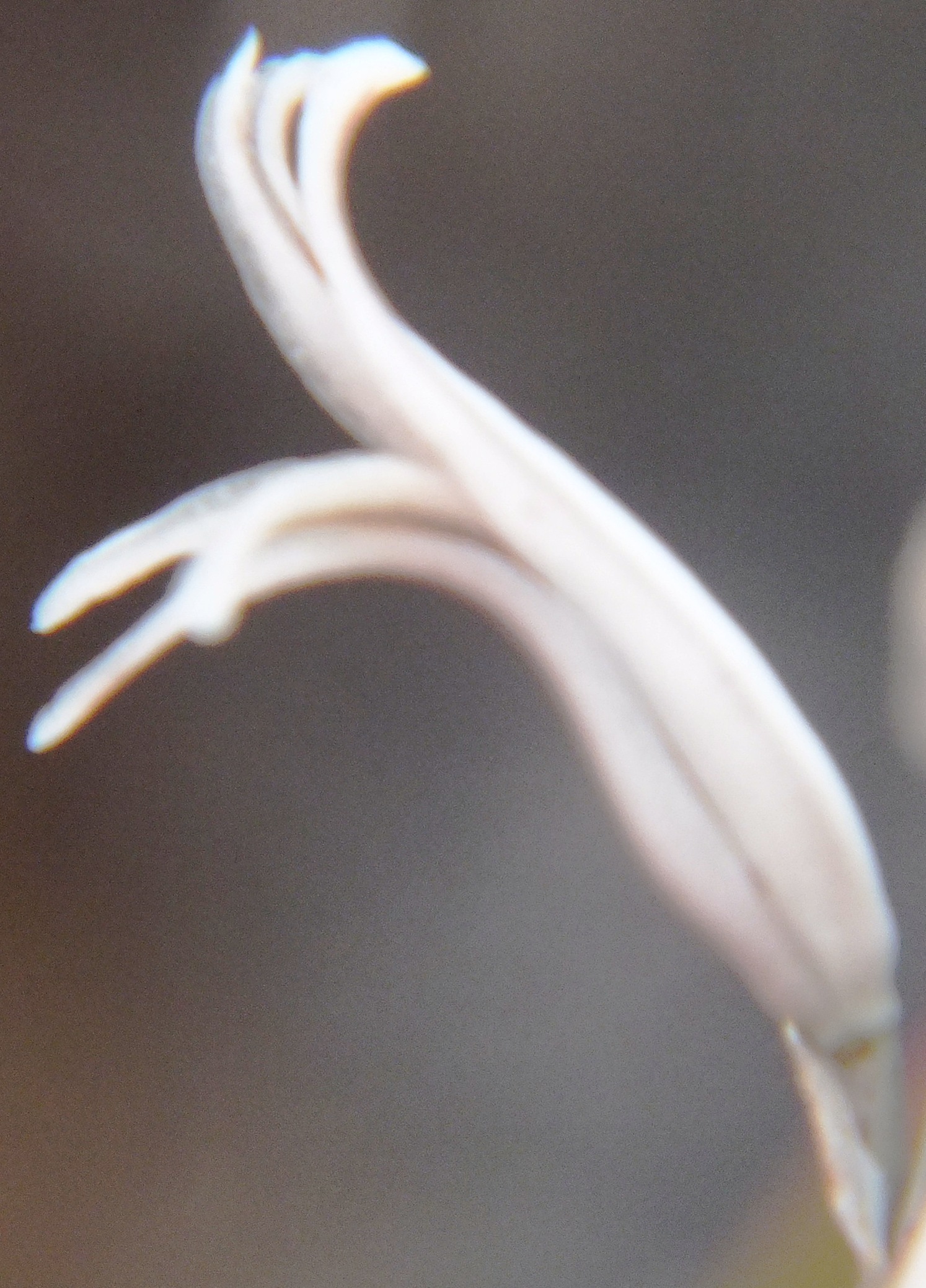
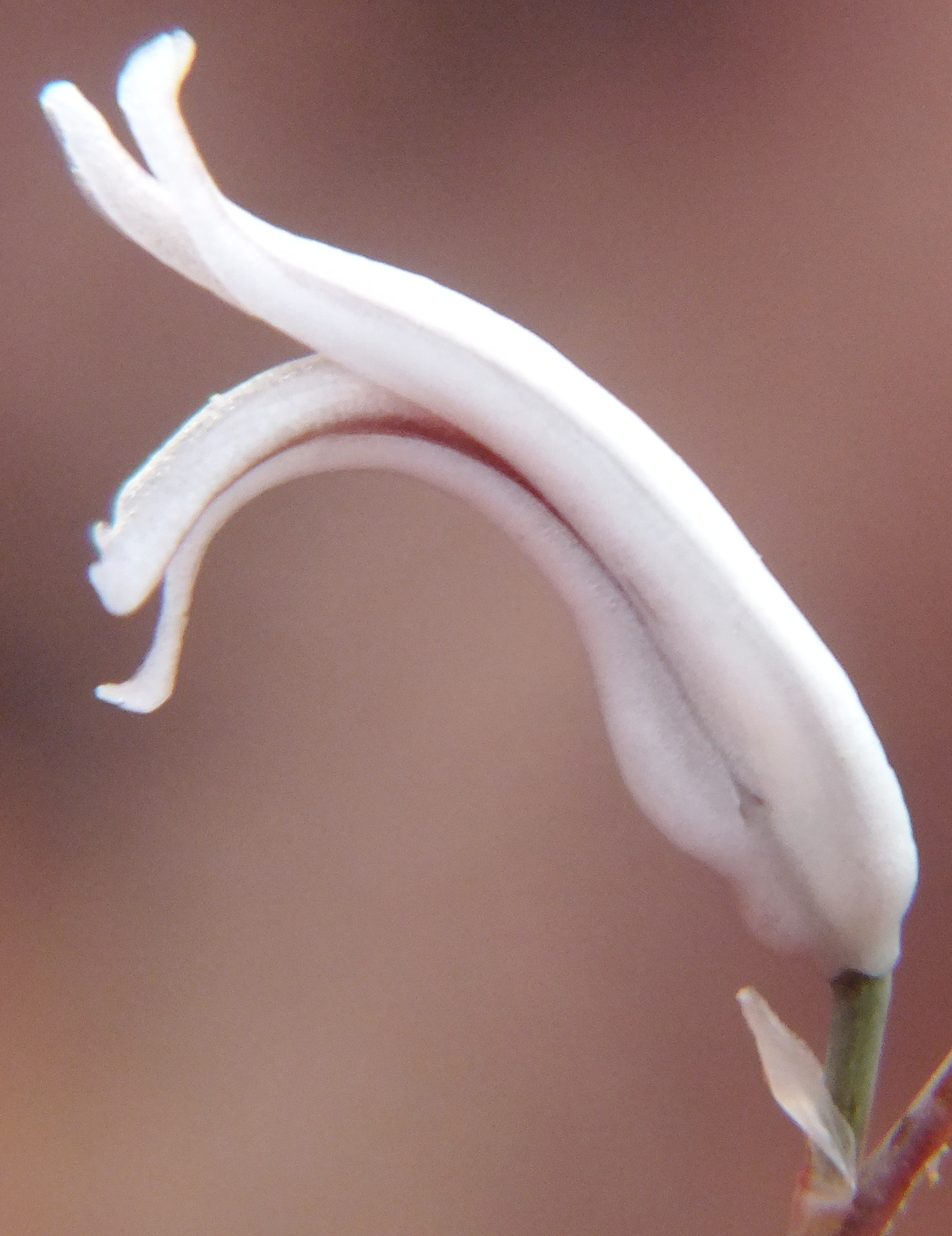
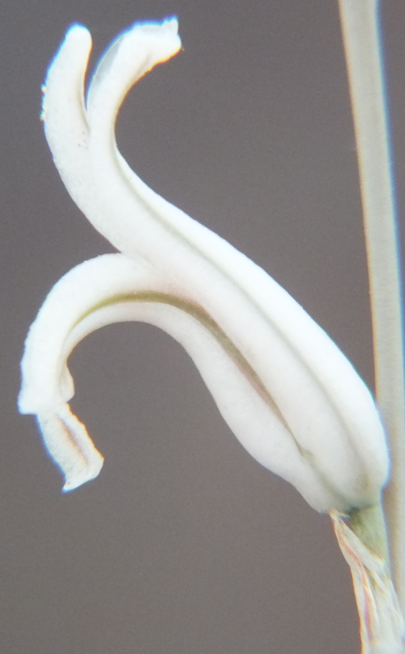
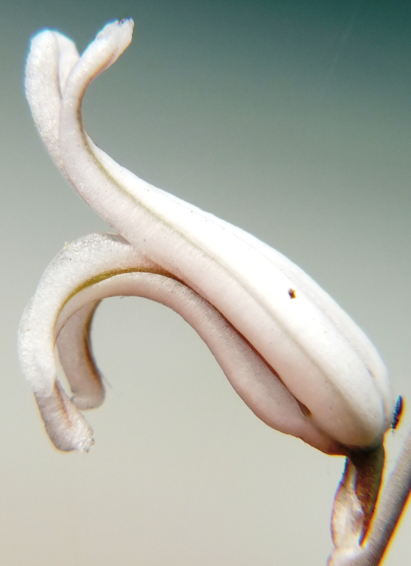
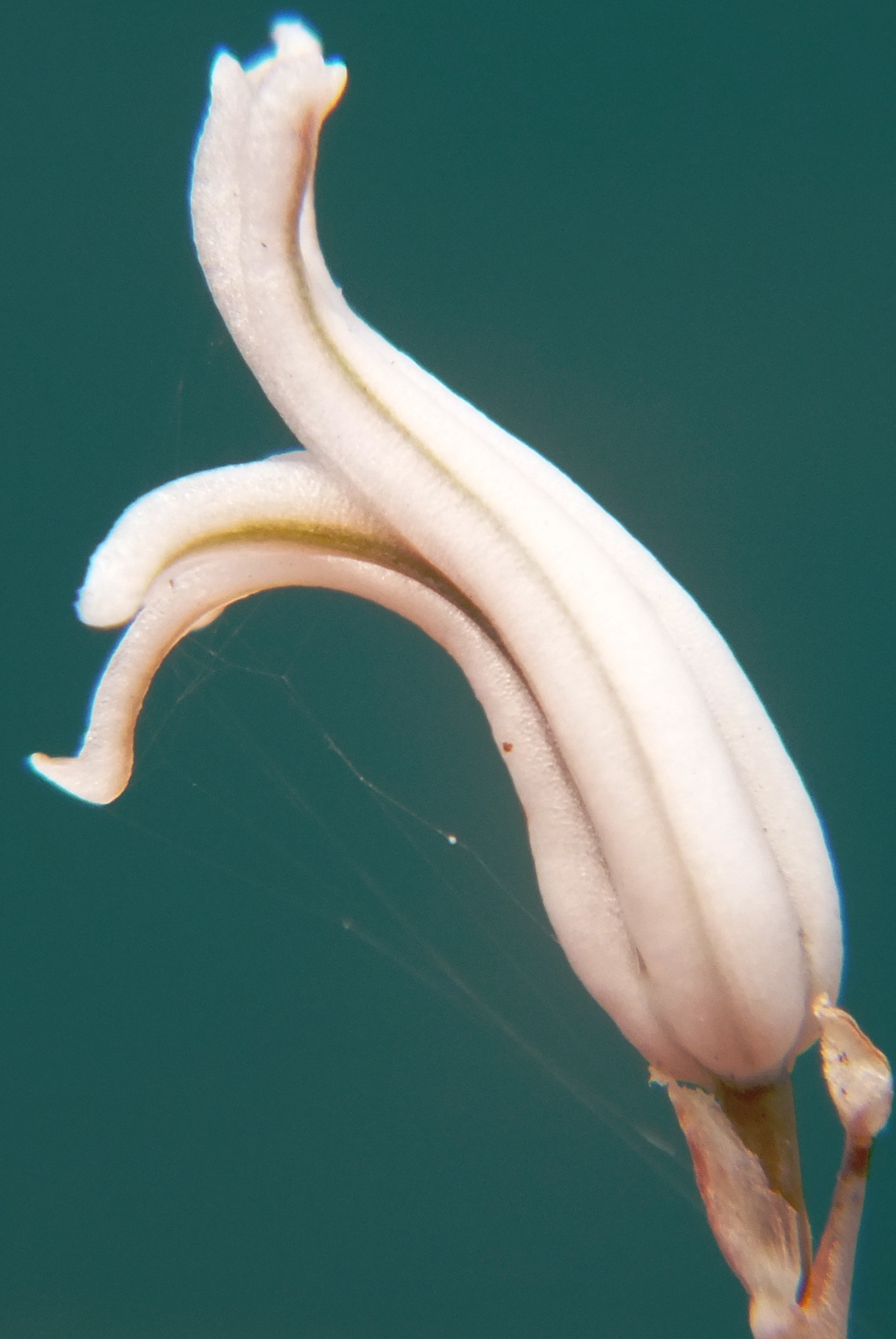
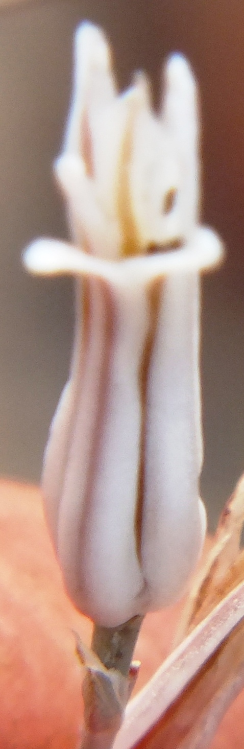
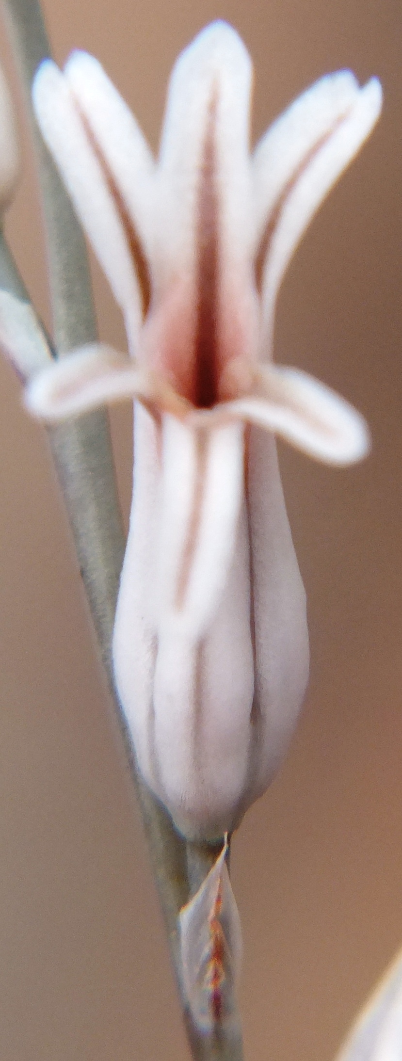
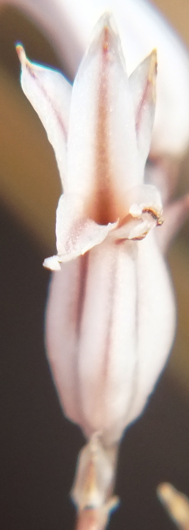
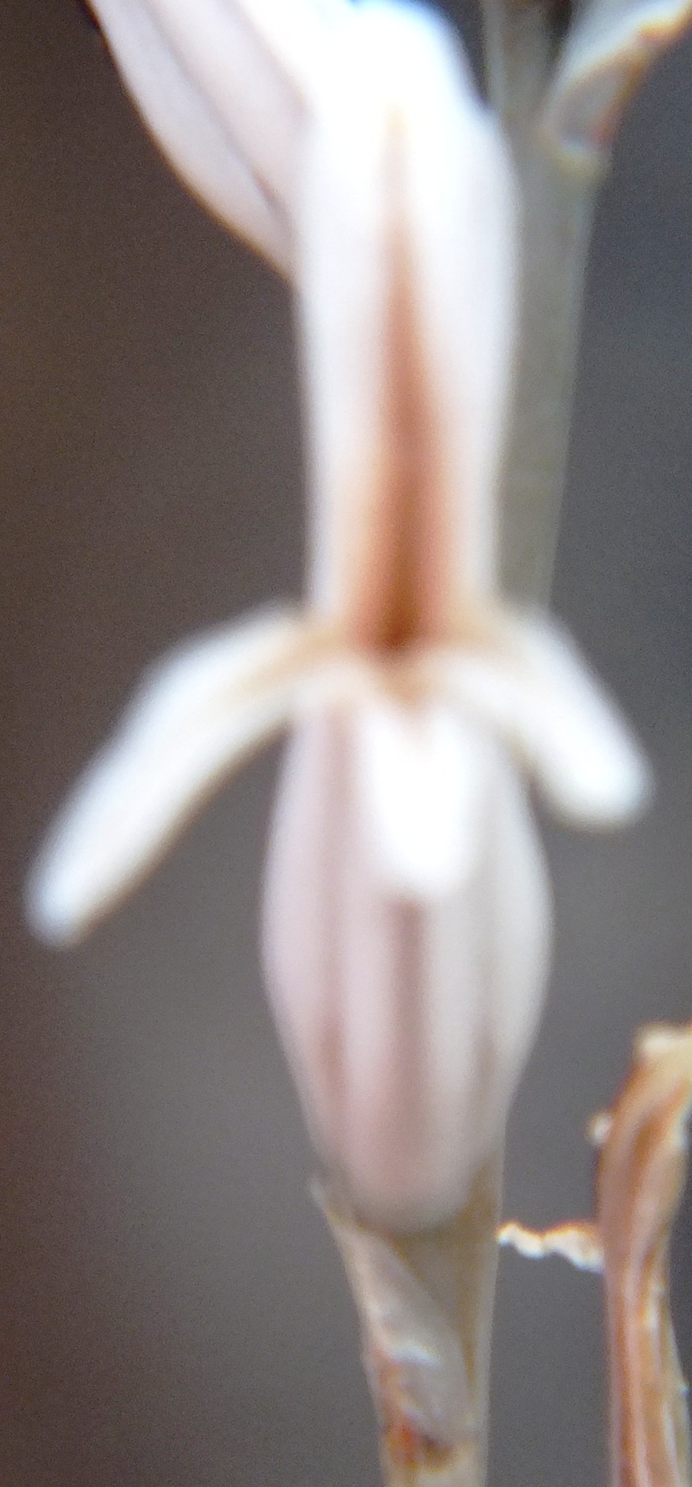
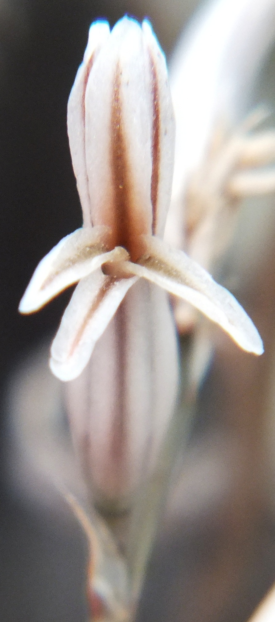
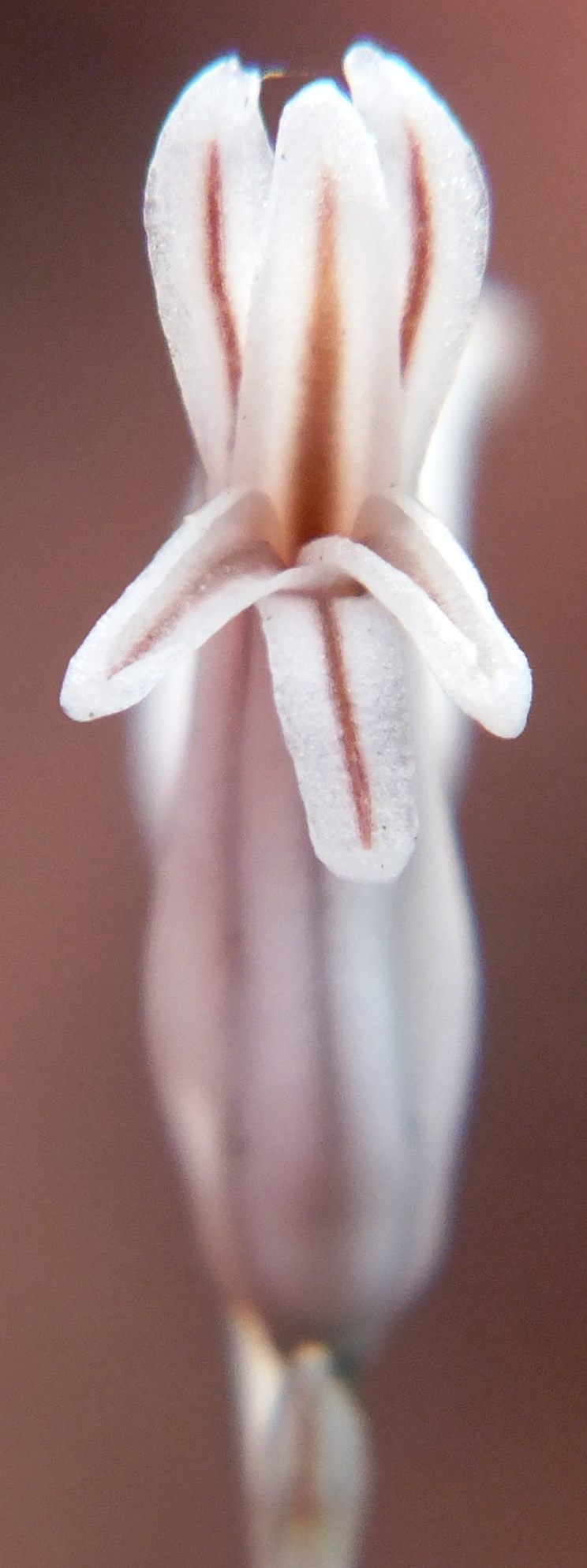
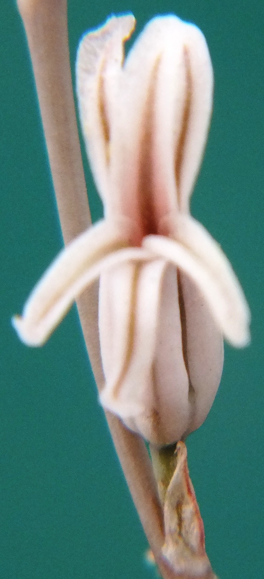
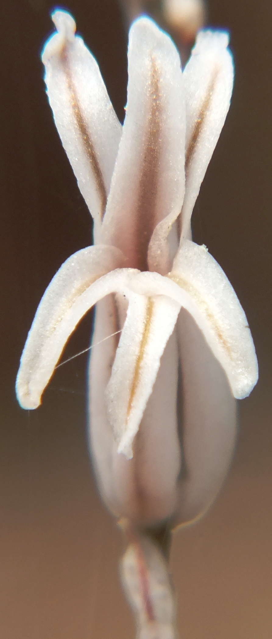
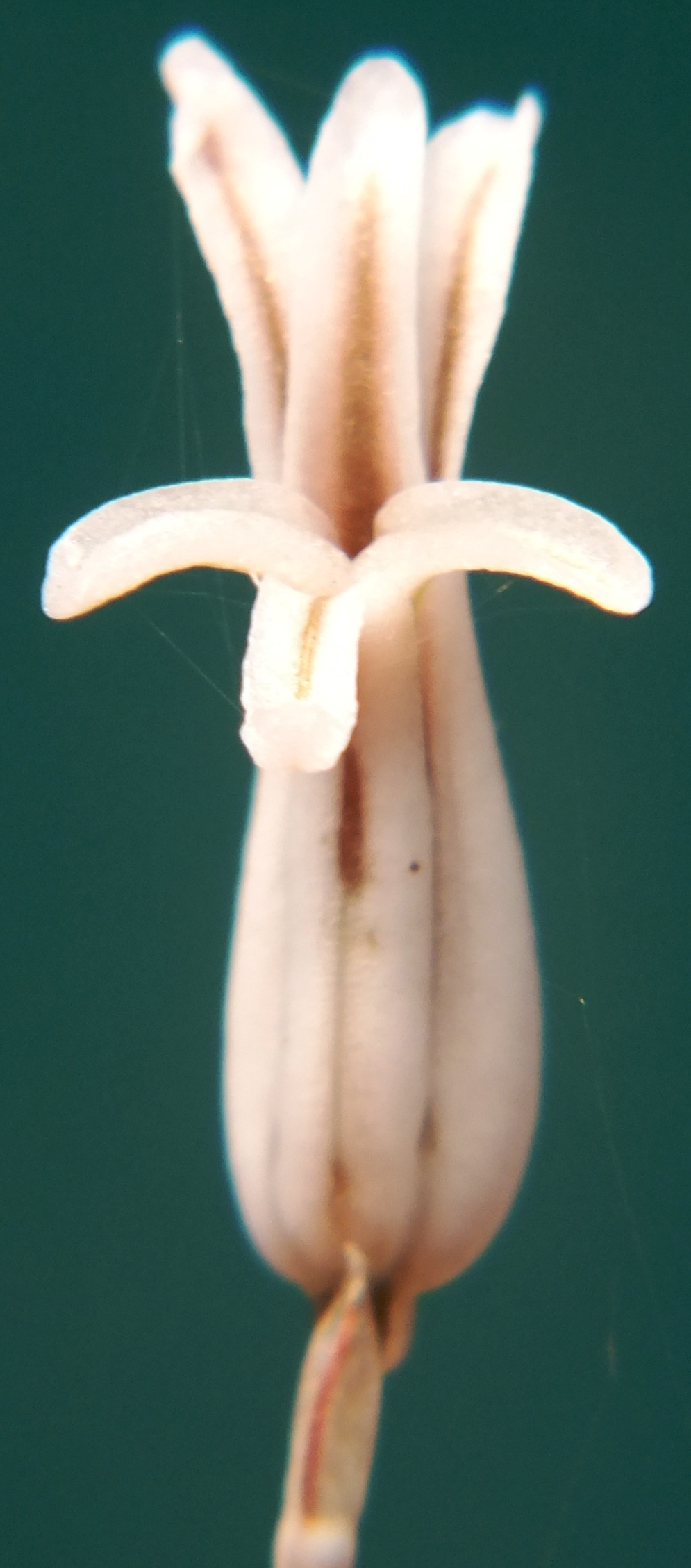
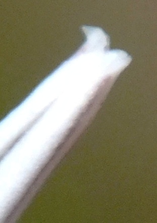
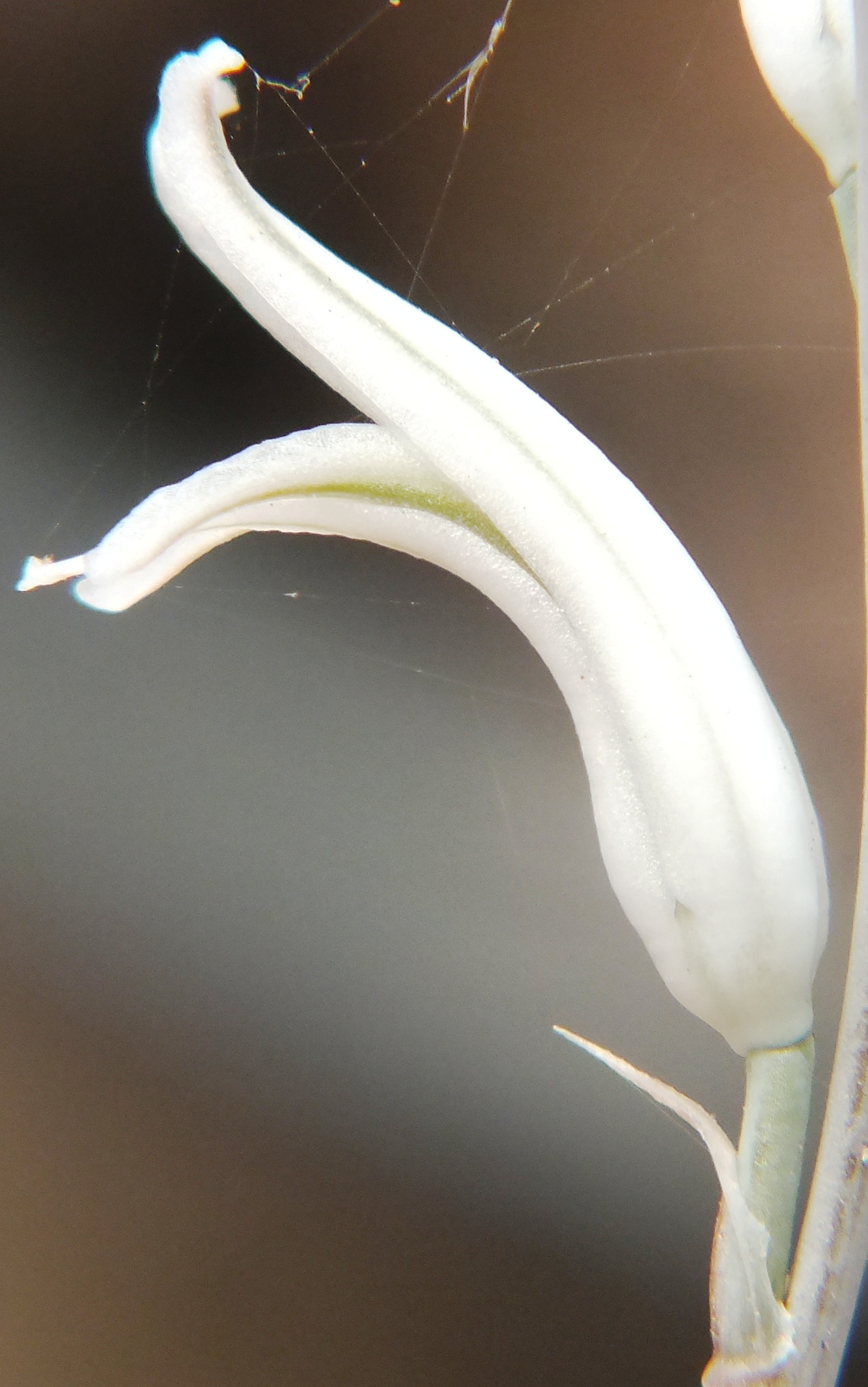
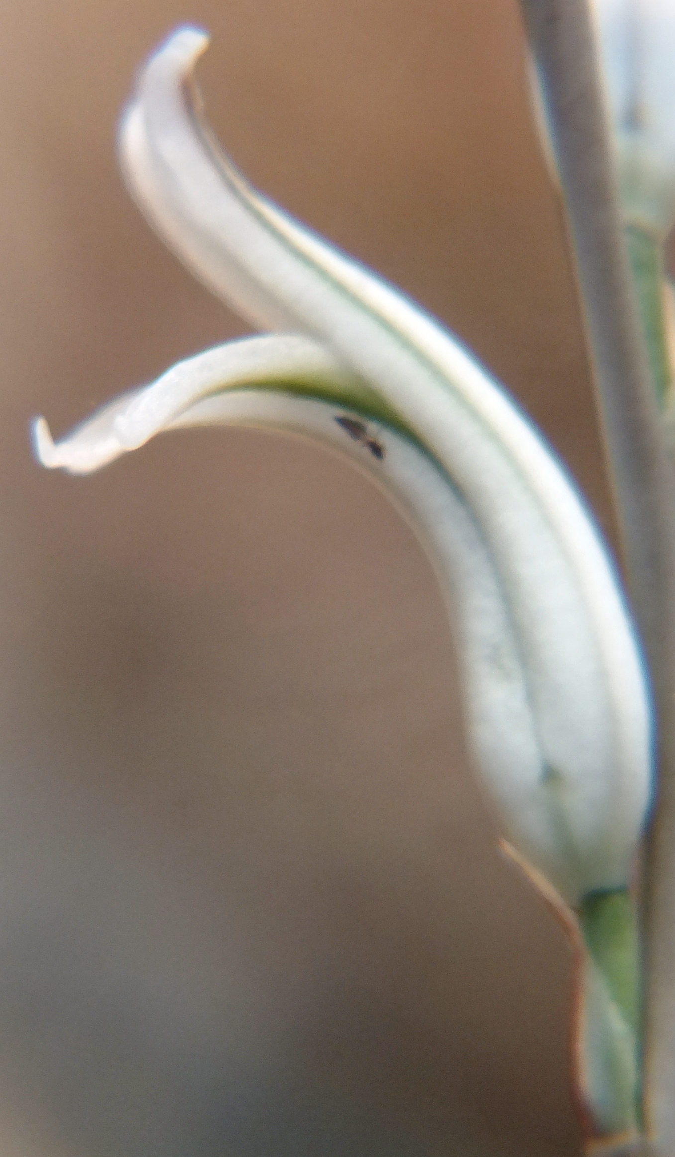
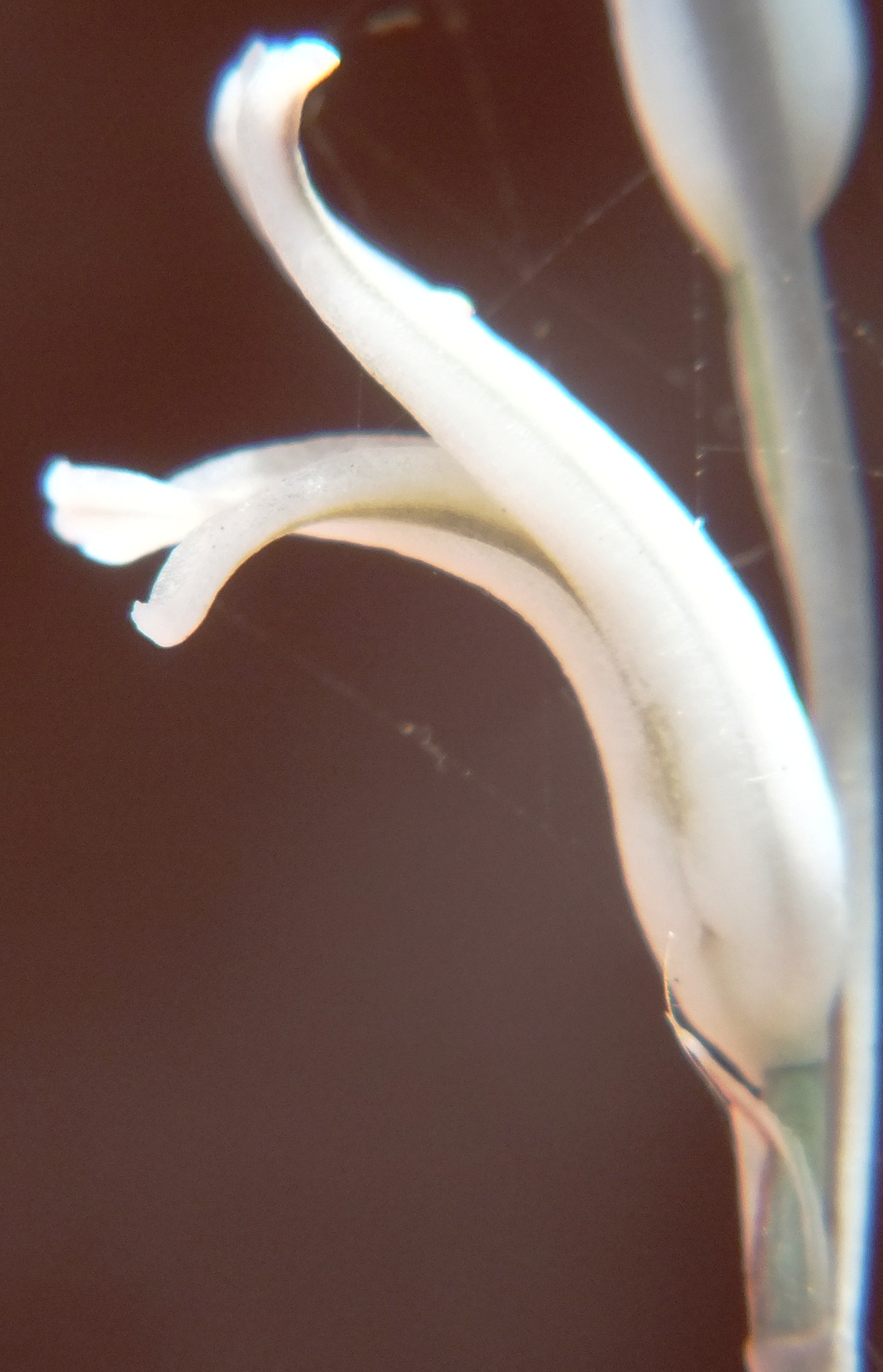
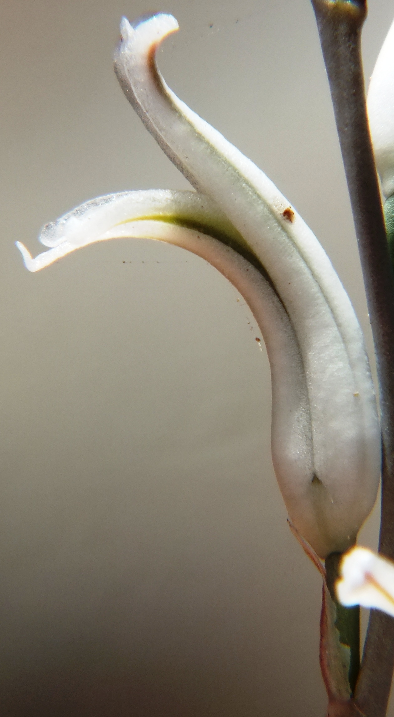
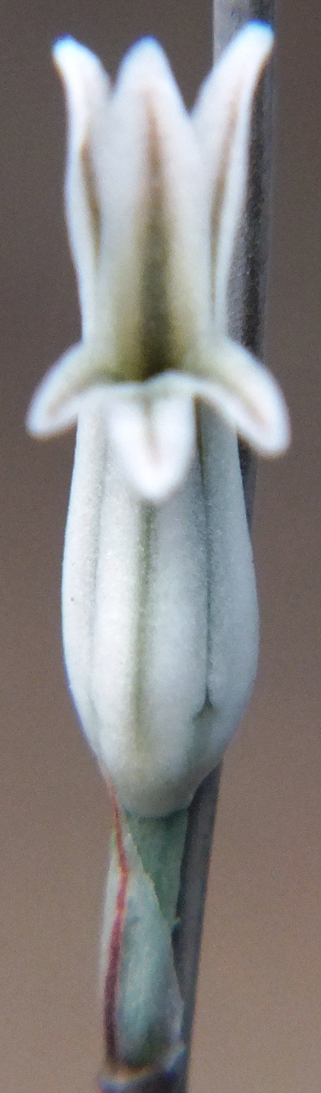
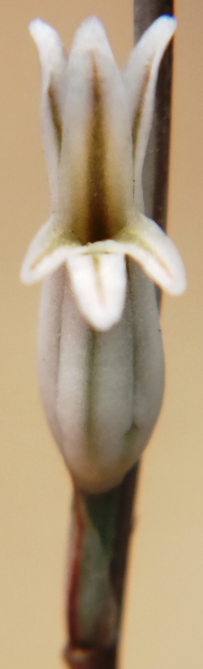
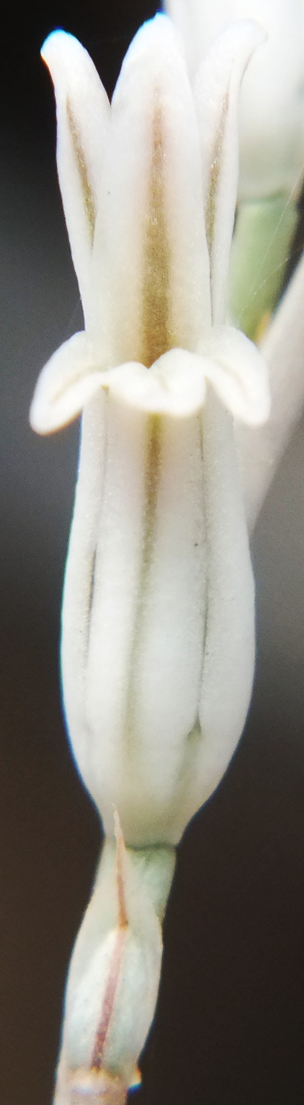
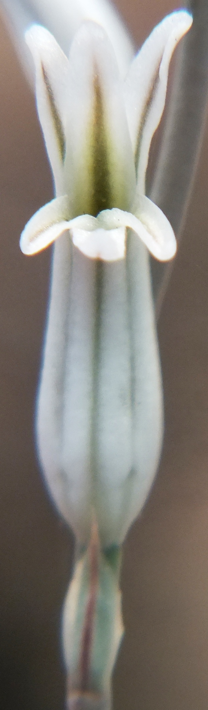
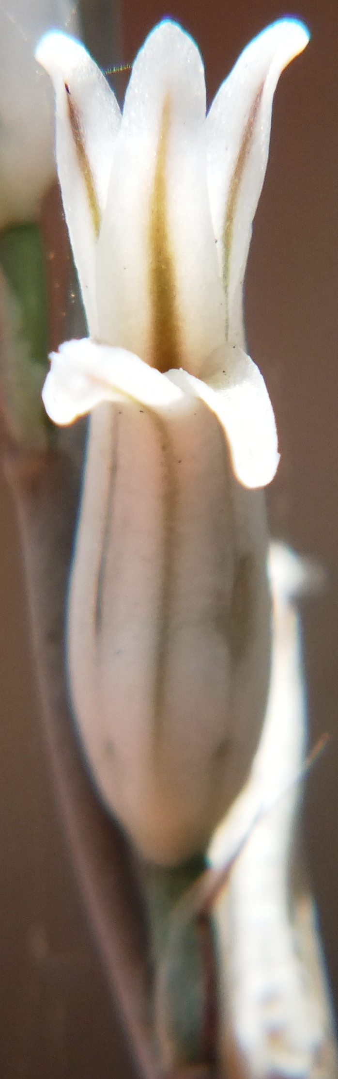
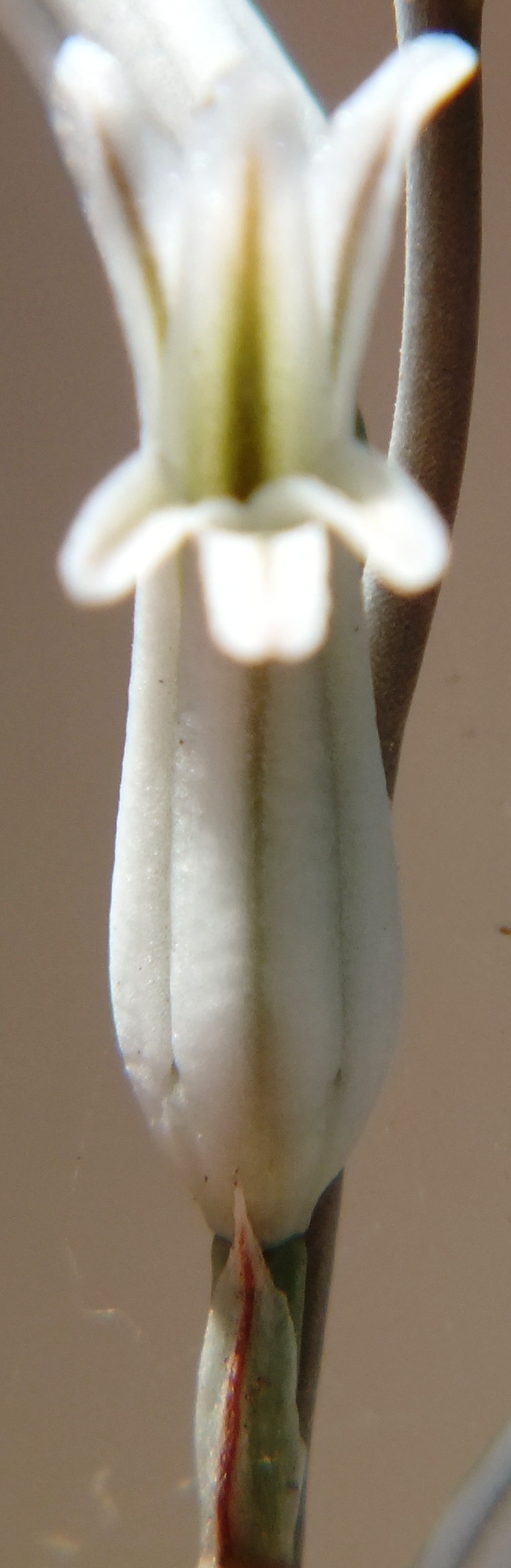
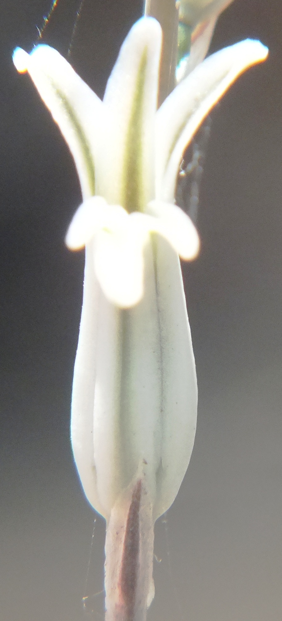
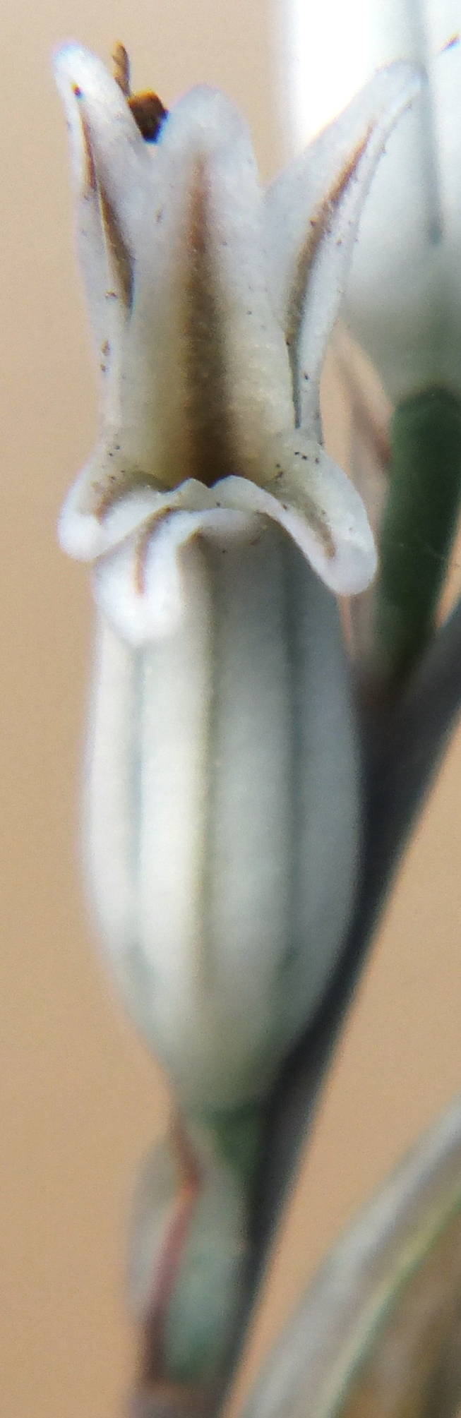
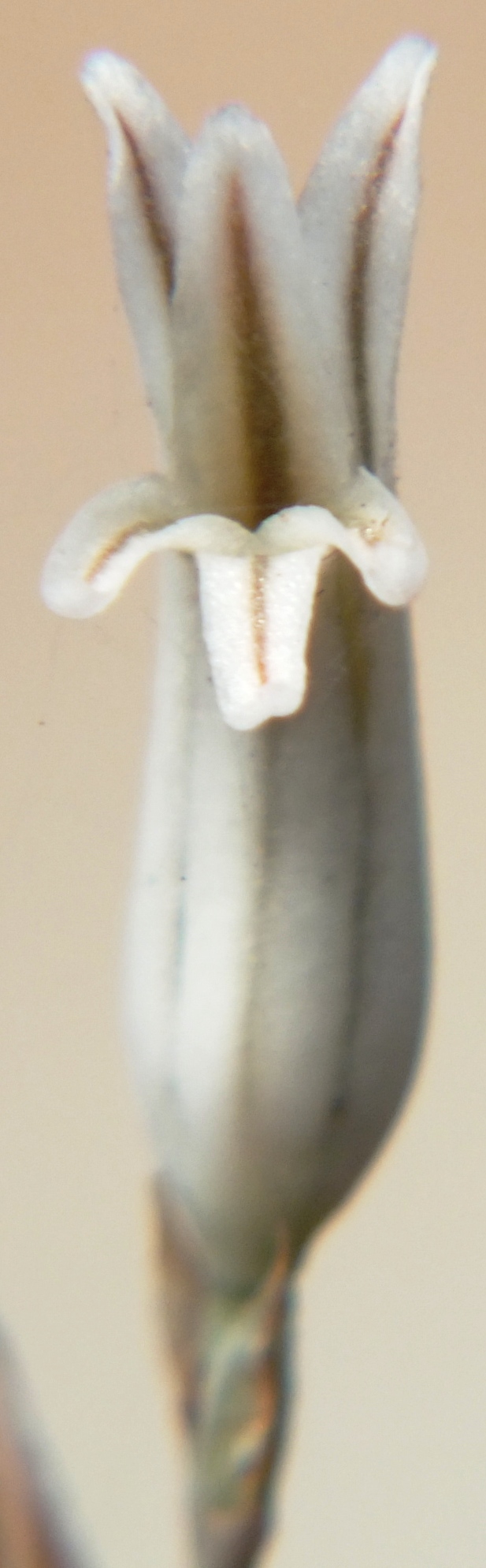
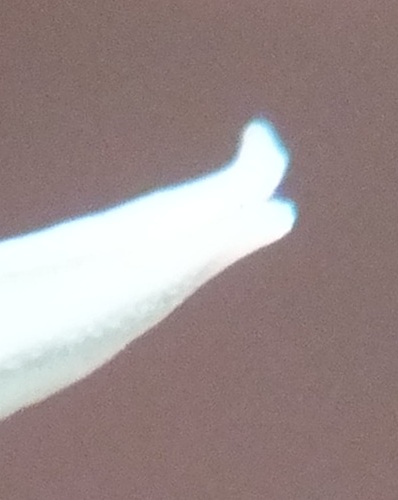
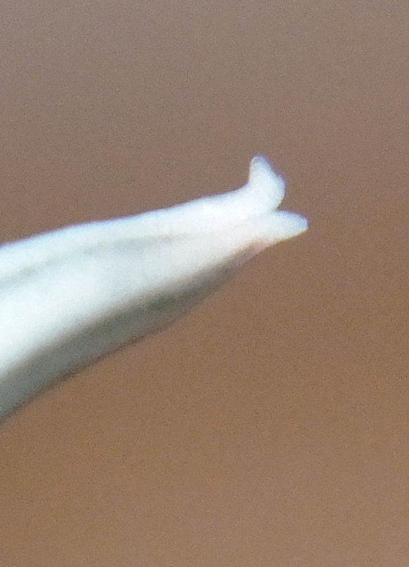
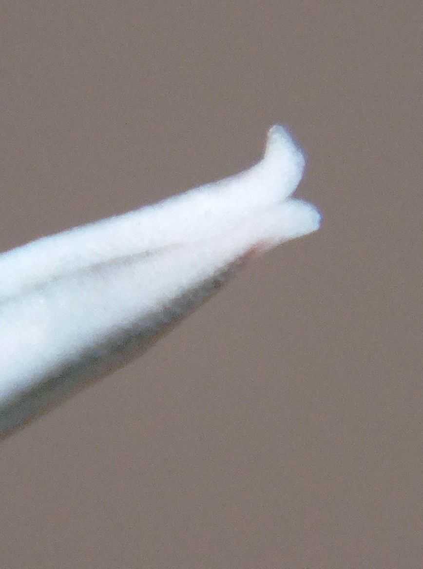
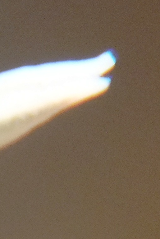
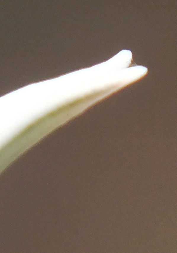
Rosette stemless, seldom proliferous, to 4cm φ. Leaves 20-35, short incurved, opaque grey-green, covered with minute spines. Inflorescence simple, to 20cm. Flowers 10-15, with upper lobes flared, white with pinkish venation.
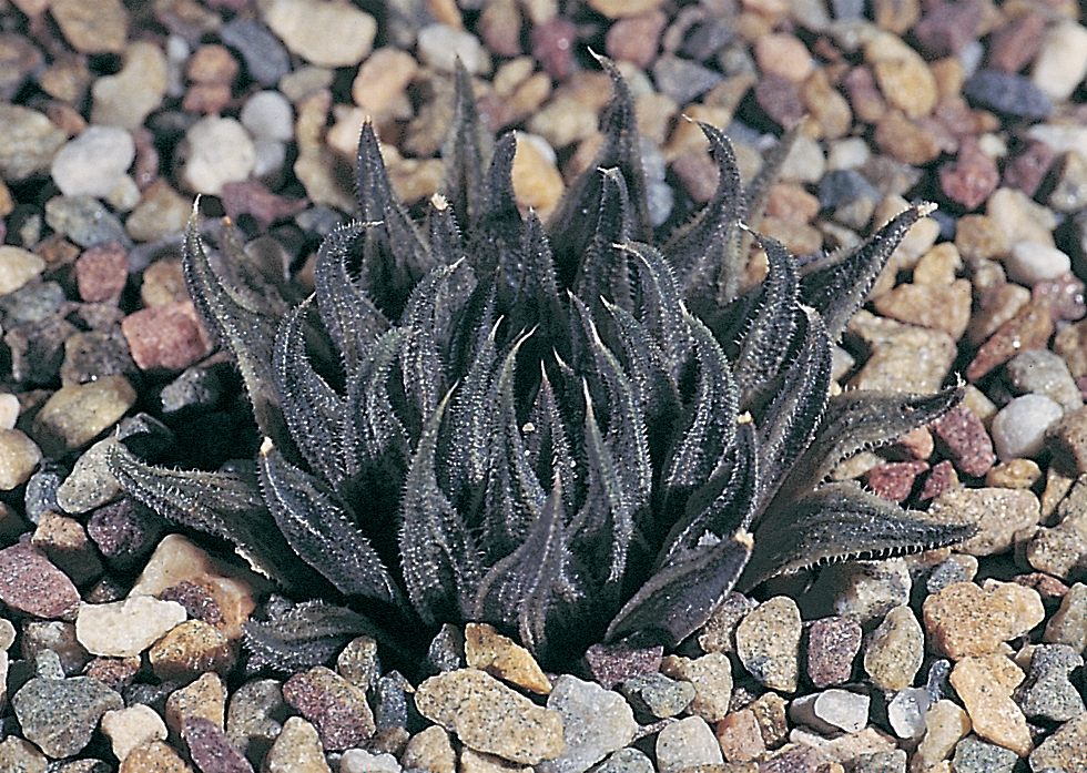
1982 – H. pubescens has the same growth form as H. herbacea but it is smaller and seldom exceeds 30mm in diameter. The incurved leaves are dark grey‑green and finely pubescent. The flowers are quite unlike those of H. magnifica to which it may have been related, as the buds are long and slender. Also the upper perianth lobes are widespread as in H. herbacea. It grows in very close association with H. herbacea and flowers in November/December ‑ after H. herbacea and before H. magnifica. The distribution is extremely limited and only occurs on two low quartzitic hills east of the locality for H. maculata. It appears to be represented again about 15 km south by a form which is less pubescent and with more turgid leaves. This latter form at Lemoenpoort is in a quartzitic ridge again near H. herbacea, and it resembles H. maculata in the relative proportions of its leaves. H. maculata occurs in a more recognisable form about 5 km to the west at Moddergat, at a far southern locality for the species.
1999 – The geographic scale of species and their distribution ranges changes from the summer rainfall areas of the country to the southwestern winter rainfall area. H. pubescens probably has to be seen in that context. There seems to be little doubt that it is filling the space of H. maraisii, but that could also be mooted for H. maculata. The former species is the most probable relative as there are growth forms with the same leaf texture, and rosette shape near to Robertson. However, H. maraisii occurs in its typical form very close to Lemoenpoort at Trappieskraalkloof, just to the east. G.J. Payne did inform me that he had collected a small dark species just above the Brandvlei Prison and this would probably fall into this context if it is re-collected.
Haworthia pubescens var. pubescens JDV84/7 south of Worcester. Very seldom growing in exposed situations. Haworthia pubescens var. pubescens JDV84/7 south of Worcester. An elegant localized species with affinities with H. maraisii. Apart from the growth form it also flowers in late spring and has a flower more similar to H. herbacea.
b. var. livida var.nov. Type: CAPE-3319(Worcester): S. Lemoenpoort (-CD), Bayer 1128 (NBG, Holo.).
livida: bluish-grey.
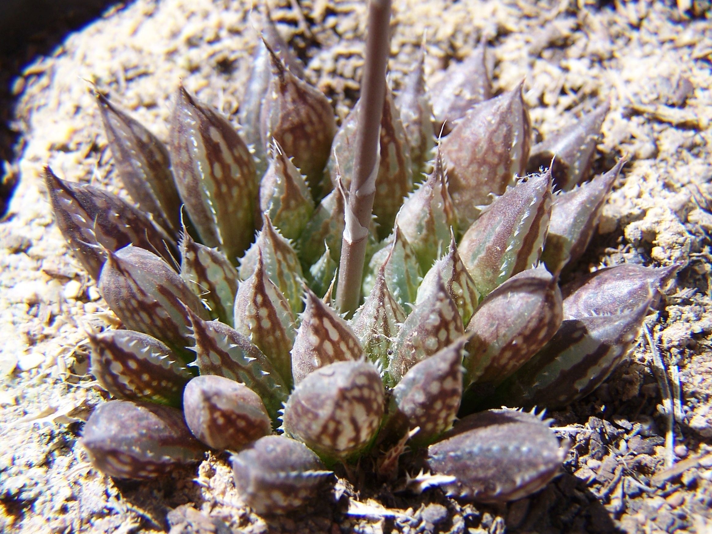
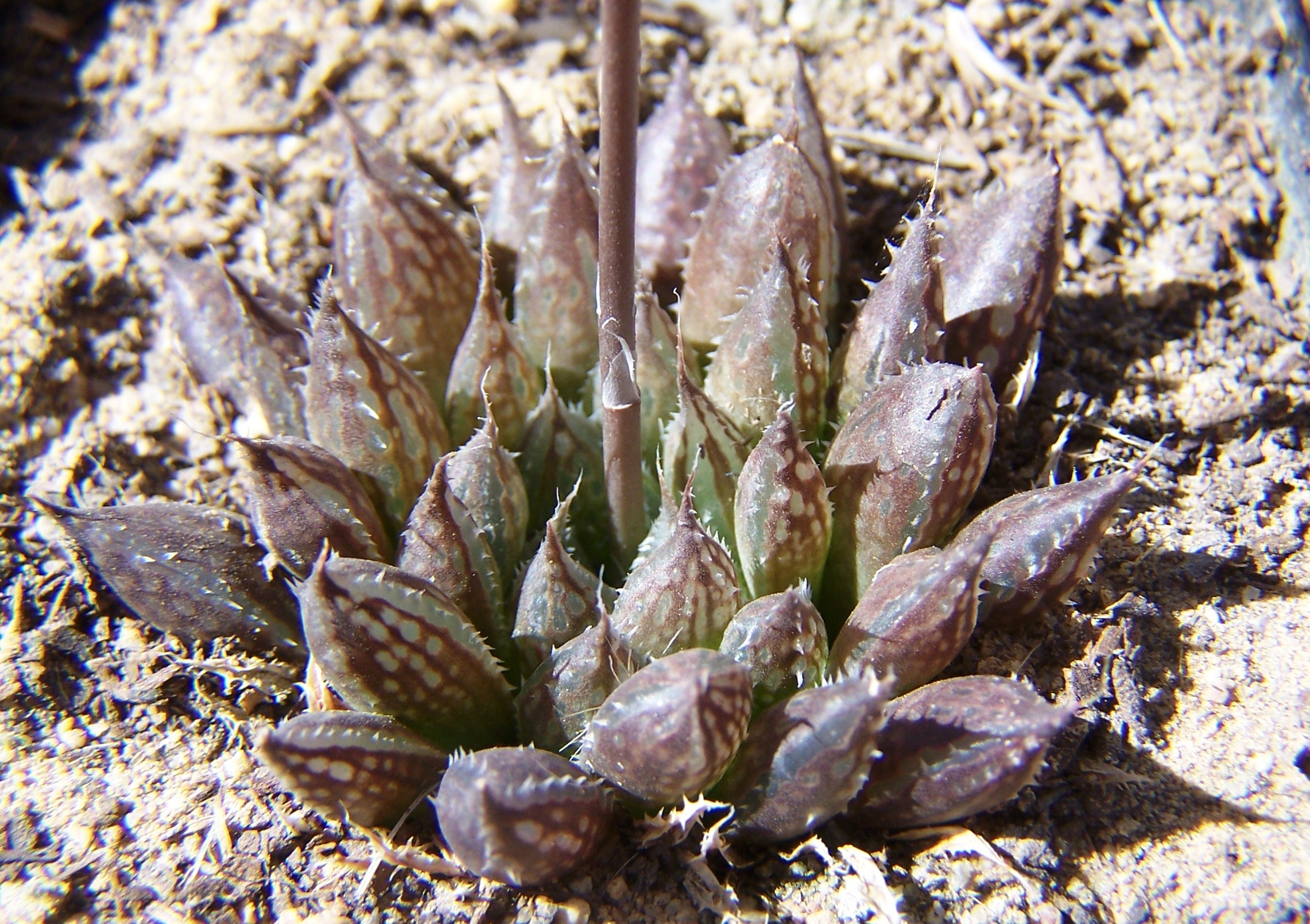
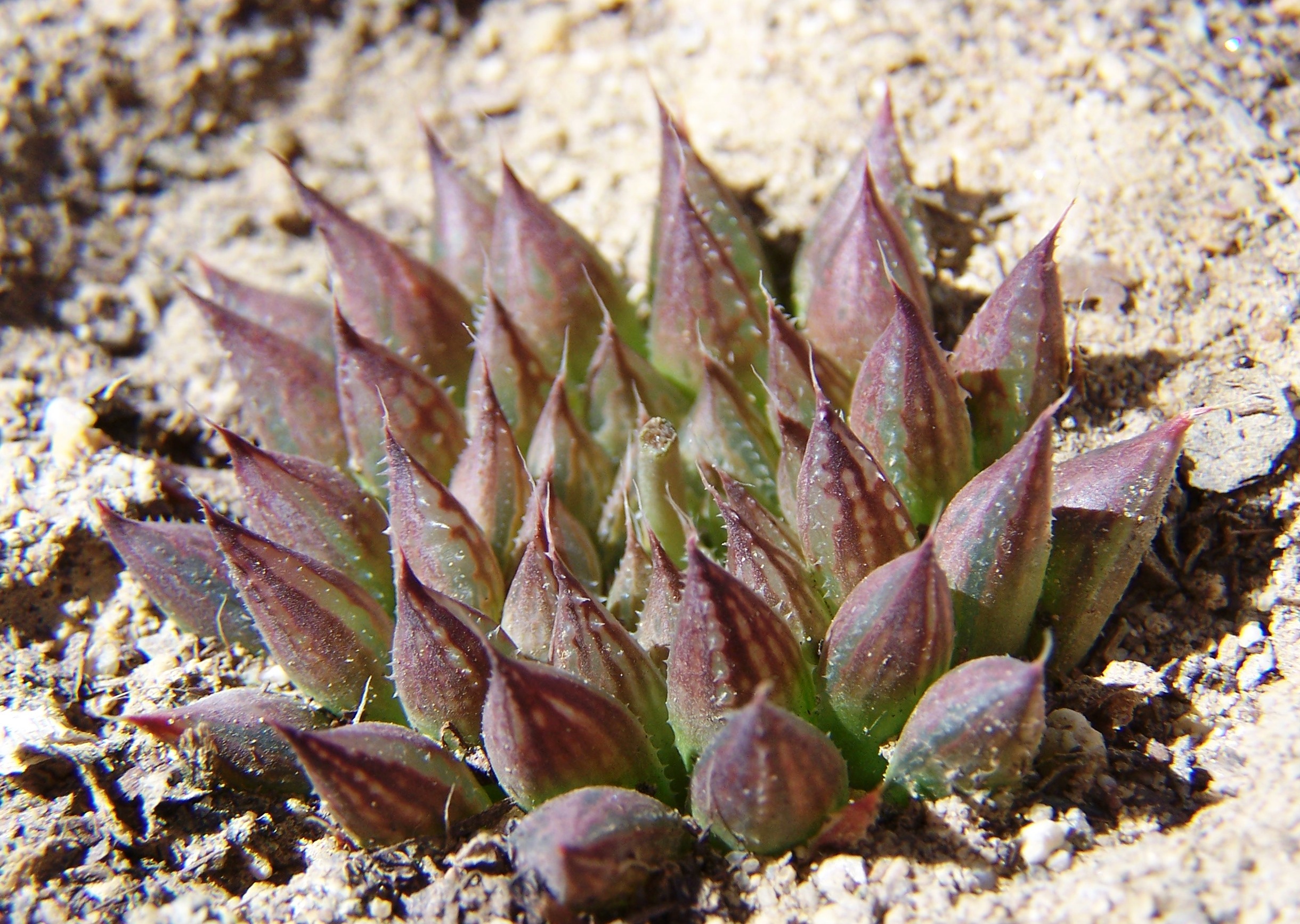
Differs from the typical variety in being less pubescent, with slightly broader and fewer leaves, and partly with pellucid spots on the leaves. (A var. pubescens foliis latioribus minus pubescentibus cum maculis pellucidis differt).
Distribution: 3319 (Worcester): S. Lemoenpoort (-CD), Bayer 1128 (NBG).
Haworthia pubescens var. livida JDV88/31 Lemoenpoort. Close examination suggests similarities with species as unlikely as H. marumiana. Haworthia pubescens var. livida JDV88/31 Lemoenpoort, south of Worcester. Broader leaves and sparsely pubescent.
[ed.] Bayer now considers var. livida as H. maculata var. livida
H. maculata var. livida (M. B. Bayer) M. B. Bayer (Haworthia Nomenclator, 10, 2012). Type: RSA, Western Cape (Bayer 1128 [NBG]). — Distr: RSA (Western Cape: Robertson Karoo: S of Worcester). ≡ Haworthia pubescens var. livida M. B. Bayer (1999) ≡ Haworthia maraisii var. livida (M. B. Bayer) M. Hayashi (2000) ≡ Haworthia intermedia var. livida (M. B. Bayer) J. Esterhuizen (2003); incl.Haworthia livida Breuer (2011) (nom. inval., ICN Art. 38.1a, 41.5). Differs from var. maculata: Ros smaller; L less spotted.
(Haworthiamaculata var. livida (Bayer) Bayer, comb.nov. H. pubescens var. livida Bayer in Haworthia Revisited, p.134, 1999, Umdaus) Type: Cape-3319 (Worcester): S Lemoenpoort (-CD), Bayer 1128 (NBG, Holo.).
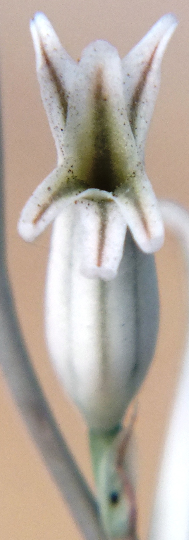
I described Haworthiapubescens var. livida in Haworthia Revisited (Umdaus, 1999), in the full knowledge that it was in a twilight zone of inadequate information. It is a good example of how Latin names give plants a false reality. The system forces decision making without any slack being cut for doubt. This is thus a good opportunity to demonstrate what inexperience and ignorance add to the process of classification. In the small area along the Breede River north of the Brandvlei Dam near Worcester, the species H. herbacea, H. maculata and H. pubescens grow in close proximity. H. herbacea is ubiquitous throughout the Worcester/Robertson Karoo, while H. maculata has a curious distribution in that area. It occurs at widely separated localities on the western fringe of H. herbacea and I have wondered about its relationship to that species because of the similar flowers and flowering time. H. pubescens is only known from a small set of low ridges east of the Brandvlei Dam where it grows in close proximity to H. herbacea. It also has similar flowers but it flowers a little later in late spring as opposed to early spring.
When I first discovered plants at Lemoenpoort (Hammansberg) about 20km further south I found very few plants and the only thing I could do with them was regard them as in the same context of the Breede River species and hence their description as a variant of that H. pubescens.H. herbacea is very abundant in this area too but almost exclusively in Bokkeveld Shales and Dwyka Tillite. The doubtful plants at Lemoenpoort occur in Witteberg Sandstones. A population of plants was also known from the top of the Moddergat Mountain (Ouhoekberg) to the west that created some problems for me as it seemed to relate to the absence of H. mirabilis from both the Hammansberg and Ouhoekberg. Not only that but it also looked very similar to H. maculata. H. mirabilis is known at its closest east of these two mountains at several localities along the eastern ridges of the Ouhangsberg and Droogerivierberg mountains that are in turn east of Hammansberg. H. maculata is very abundant along the long ridge of low hills north of the Brandvlei Dam. Very similar plants occur high in the Audensberg peaks north of Worcester and also lower down in the Kanetvlei (Sandhills) area west of Heatlie Peak. These hills are very difficult to explore and I speculate a connection to a population at Buitenstekloof to the east. There is a population here that obfuscates the interpretation of the name H. intermedia VPoelln. I lumped this population under H. mirabilis var. notabilis. I have to rely on memory here because having set flower morphology and flowering time aside (without completely ignoring them), I did not have the methodology in place to record detail. The flower was rather similar to H. herbacea and H. maculata and it also flowered late spring. I was not, and am not, sure that there is not a connection between the Buitenstekloof plants and the Kanetvlei plants.
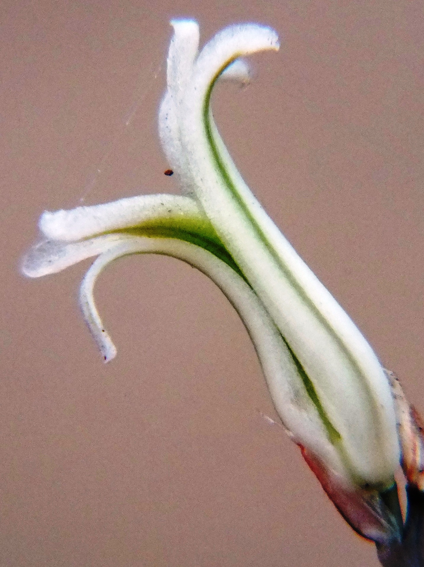
It is unfortunate that Gerhard Marx has expressed his opinion that I have ignored flowers in my classification of Haworthia. While there is no doubt that this is partially true, there are very good reasons why I did this. The main reason is the historic one. It was understood and accepted that the flowers in the species as they were then recognized, were very similar. Even the subgeneric differences were not seen to be significant. My own early attempts at classification also indicated that the flowers were not going to be of assistance at the level at which differences between populations and species were being recognized. In fact I had observed similarities of the flower in populations that were clearly different taxonomic entities. Conversely I observed big floral differences in populations that I imputed to be the same “species”. Because of the added seasonality of flowers, I thus put them aside to focus on exploration and explanation on the basis of the vegetative structures and geographic distribution. Marx’ observation therefore comes at a time when that work is substantial and flowers can now be used to clarify and verify relationships. My conviction is that those relationships are best understood in relation to distribution and we are only now in a position to assess what value the flowers may add to those interpretations.
This article thus reports on the exploration of the Ouhangsberg, Hammansberg and Moddergat (Ouhoekberg) mountains as well as some work done in the Brandvlei Dam area. Again I put flower and flowering time aside – for the moment. This is in the same way I am inclined to the considered view that geographic information and field observation are the essential ingredients whereby ANY method has to provide explanation that satisfies physical experience. The alternative is that what we see and experience physically and mentally, is just the illusion that metaphysicists ascribe to creation.
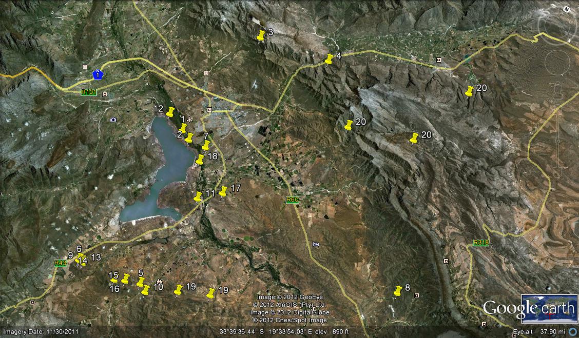
Populations recorded
The following populations (see map) were found and observed:-
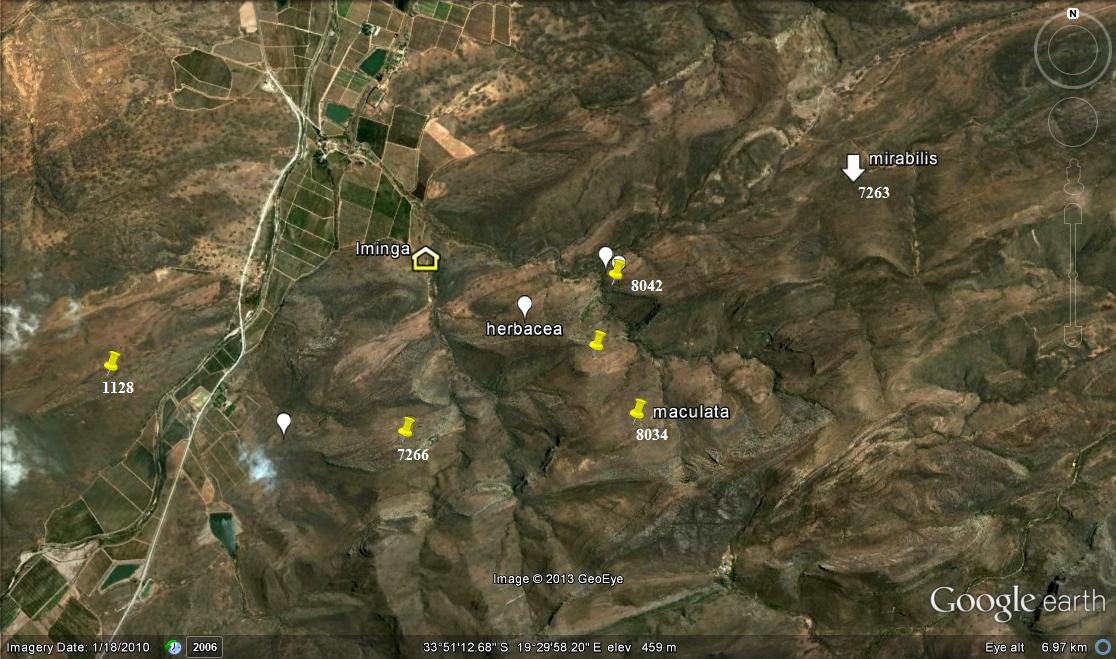
1. KG669/69 N Brandvlei Dam – set 1 2. MBB164 N Brandvlei Dam – set 1 3. MBB1119 (and 6815) Audensberg – set 2 4. MBB1120 (and 7994) Sandhills, Kanetvlei – set 2 5. MBB1128 (and 7066) W Lemoenpoort (type locality var. livida) – set 3 6. MBB1145 Ouhoekberg, Moddergat – set 5 7. MBB2591 NE Brandvlei Dam – set 1 8. MBB4461 (and 6514) Buitenstekloof – set 6 9. MBB7270 Ouhoekberg W – set 5 10. MBB7266 E Lemoenpoort – set 4 11. MBB7271 Cilmor Winery, Dewetsberg – set 7 12. MBB7526 Die Nekkies W. Brandvlei Dam – set 1 13. MBB7991a Ouhoekberg E – set 5 14. MBB7991b west Ouhoekberg E – set 5 15. MBB7992 Hammansberg midpoint – set 8 16. MBB7993 Hammansberg W – set 8 17. MBB7997 Sandberg H. pubescens, type locality – set 9 are for MBB7997 cf H. pubescens N of point 11 18. MBB7995 and 7996 Brickfield H. herbacea ‘submaculata’ – set 10 19. MBB7984, 7985 and 7988 Droogerivierberg, H. mirabilis – set 11 20. Unknowns – set 12
Map references for Haworthia maculata.
There are 4 records for the Brandvlei Dam but in Update 6, I report on H. maculata from the pump station east of the Resort, very abundant to the eastern point of Die Nekkies. Three of the records are for west of the Resort while I have not confirmed Etwin Aslander’s observation that he had seen it at the extreme western end of Die Nekkies. G.J. Payne in 1970 communicated to me that he had seen a Haworthia south of the Brandvlei Dam above and west of the Brandvlei Hot Spring. I was unable to confirm that in a single brief visit there ca. 1976. I have not been able to relocate plants at Sandhills but have no doubt that it will be found there if more thorough and extensive fieldwork is done there. In fact a very important consideration is that there is still enormous scope for exploration.
On each visit to the Ouhoekberg I have found plants in different local populations and none of the last four records is the same as seen in my first visit. At the original Lemoenpoort I always struggled to find plants at all, and the same applies to the locality to the southeast. At my last visits to these two places there have been many plants but relatively difficult to find.
H. herbacea is abundant in the Hammansberg and Ouhangsberg area as well as east of Cilmore. It has not been observed near the Ouhoekberg. It occurs between Cilmor and Die Nekkies in a larger form that acquired the name H. submaculata V.Poelln.; and I did suspect that there was a continuity with H. maculata that does not now seem to be the case. I exclude H. pubescens from this report. It occurs with H. herbacea east of Cilmor, but it also occurs on the northeastern slope of Dewetsberg north of the H. maculata recorded habitat. There are/were plants of H. mirabilis vegetatively very similar to H. pubescens at the Breede River Bridge southwest of Roberson. Their flowers and flowering times (March) correspond with H. mirabilis in that area. H. pubescens flowers in November (later than H. maculata at Die Nekkies or of H. herbacea – Sept/Oct) and the flower is similar to that of H. herbacea. It seems fairly obvious that H. pubescens fills the gap for H. mirabilis and the flower and flowering time are problematic.
The plants illustrated:
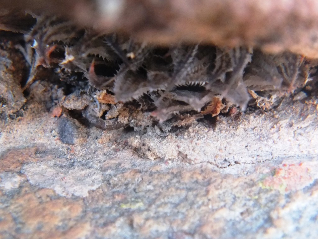
Set 1. Map points 1, 2, 7, 12. Die Nekkies Figs. 1.1 to 1.5 7526 H. maculata. Die Nekkies. Figs 1.6 to 1.10, sn* H. maculata, Die Nekkies – East.
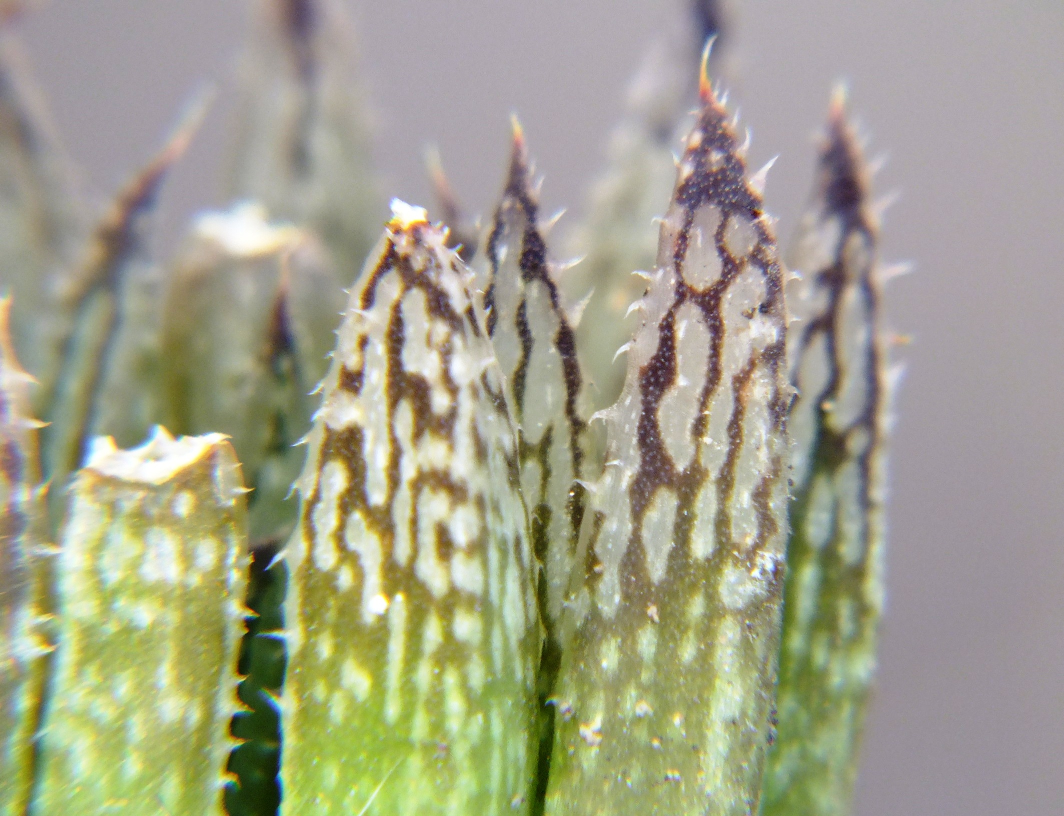
A chapter in Update 6 deals with H.maculata – Die Nekkies Biomes, and Haworthia maculata These few images give scant insight into the variability in respect of rosette and leaf form, colour and marking, and proliferation.
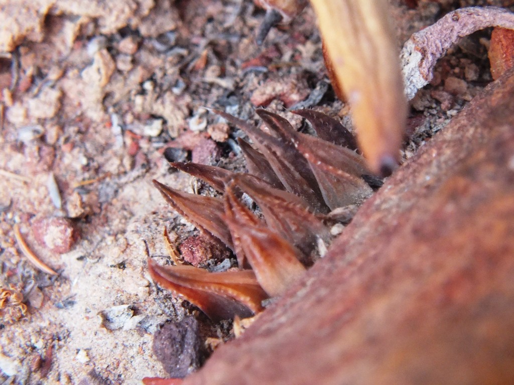
Set 2. Map points 3, 4. Audensberg and Sandhills Figs. 2.1 to 2.5 MBB6185 H. maculata. Audensberg. Figs. 2.6 to 2.36 H. maculata, Vreesniet, Kanetvlei.
Unfortunately I found non-digital photography to be costly, cumbersome and unmanageable. So I have no field images for either population on the high Audensberg or at my original Sandhills site. However, I revisited the area and found the plants quite abundant a little further north at Vreesniet that is also Kanetvlei/Sandhills. The plants were almost confined to narrow rock cracks and their presence suggests to me that there is a very probable connection now eastwards to the Unknowns and even further on to the Osplaas H. arachnoidea, Etwin Aslander’s Hex Pass plants, and then still further to the H. marumana ‘dimorpha’ questionable.
Figs. 2.1 to 2.5 MBB6815 H. maculata. Audensberg.
Figs. 2.6 to 2.36 H. maculata, Vreesniet, Kanetvlei.
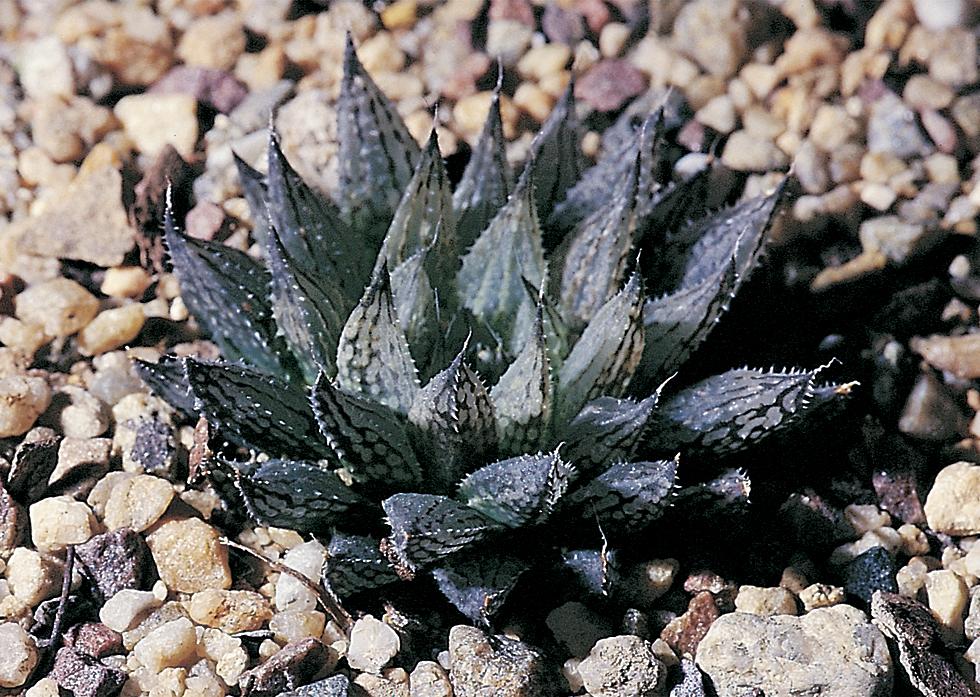
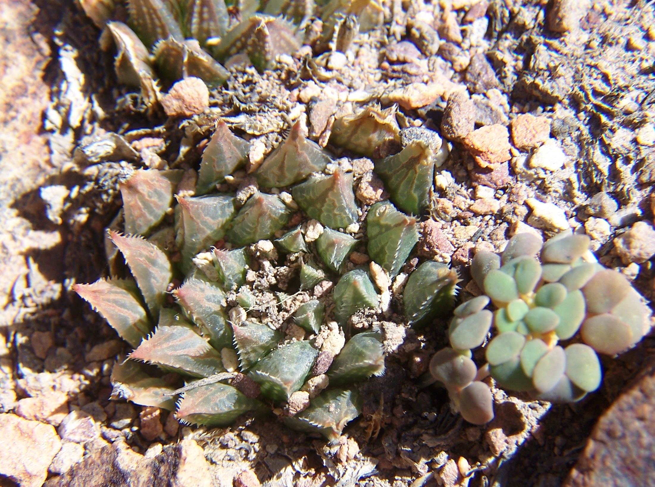
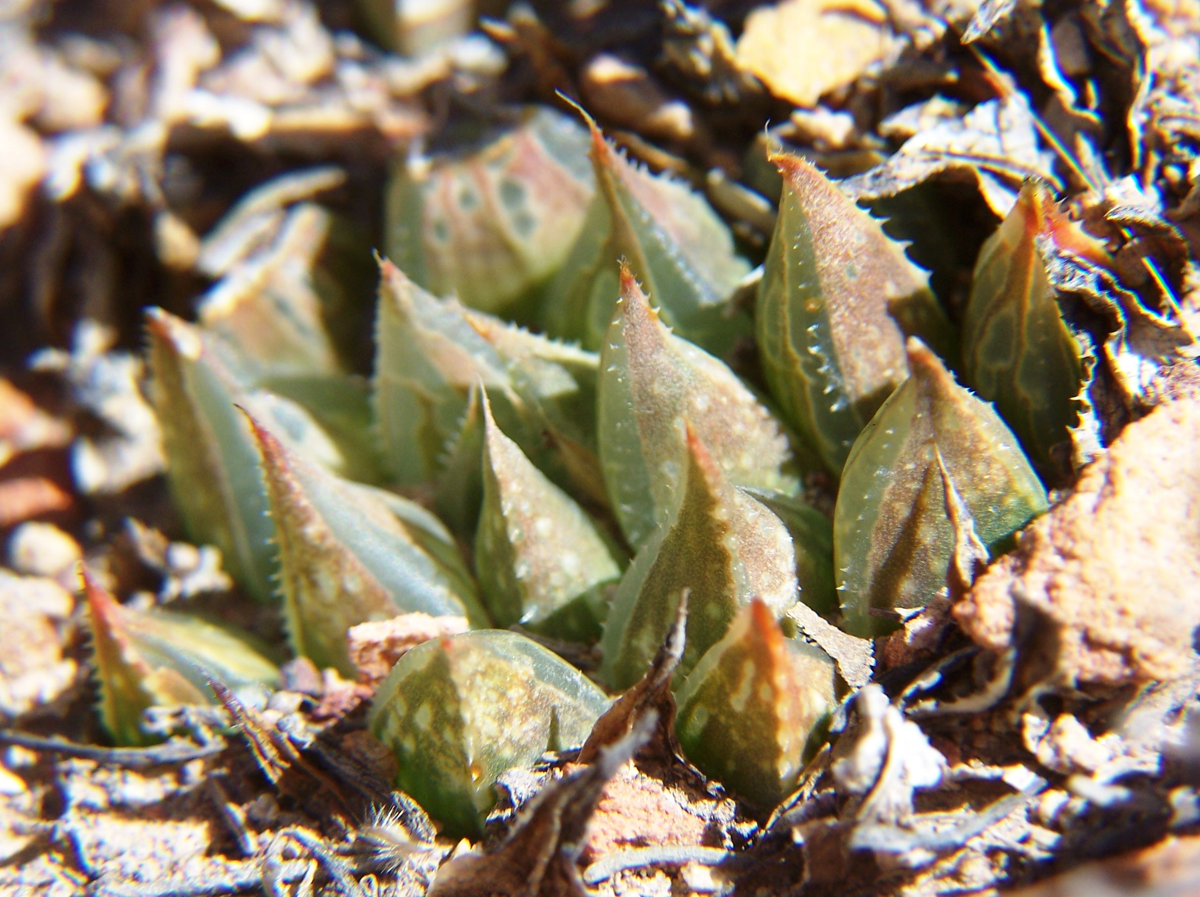
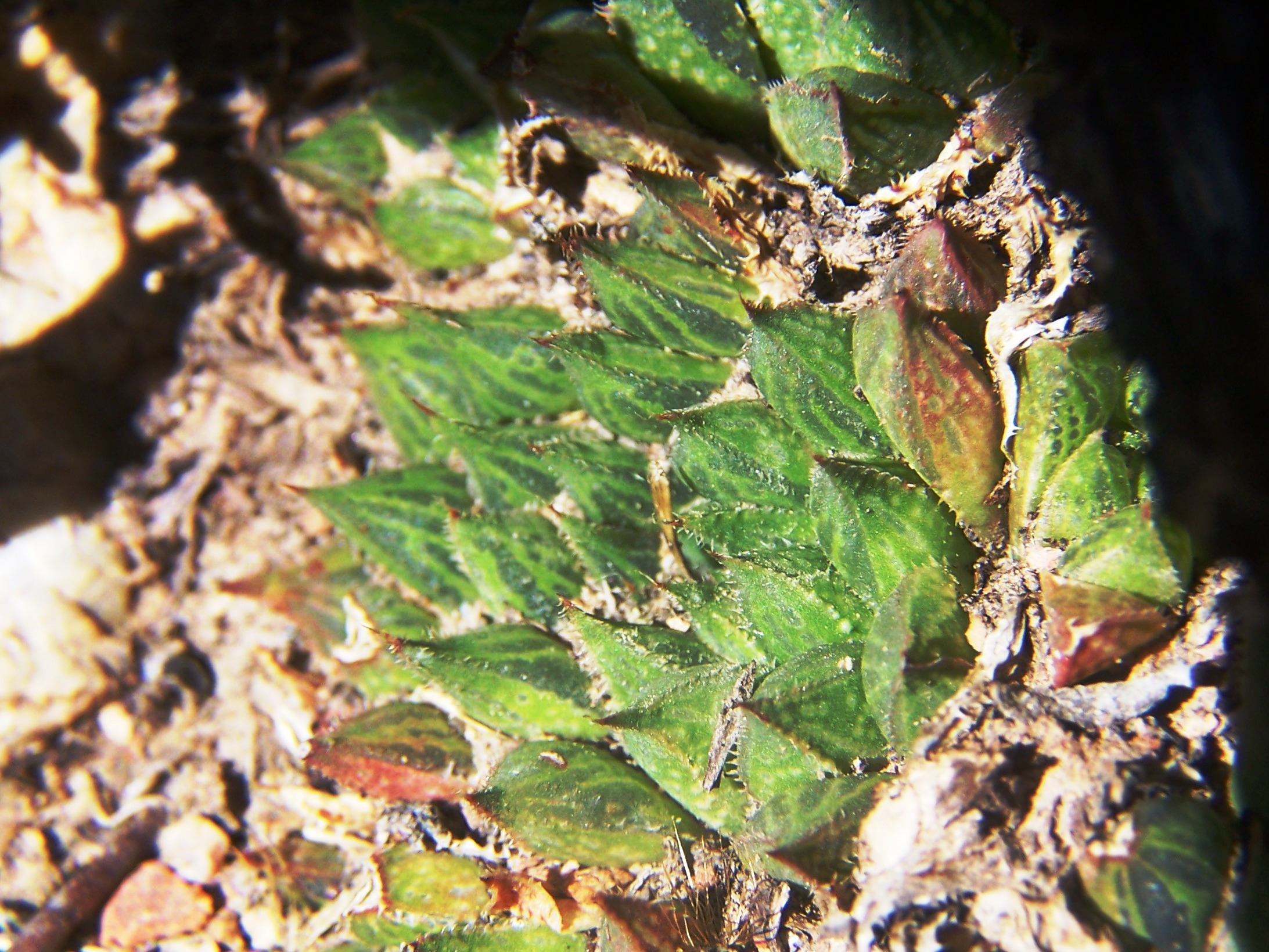
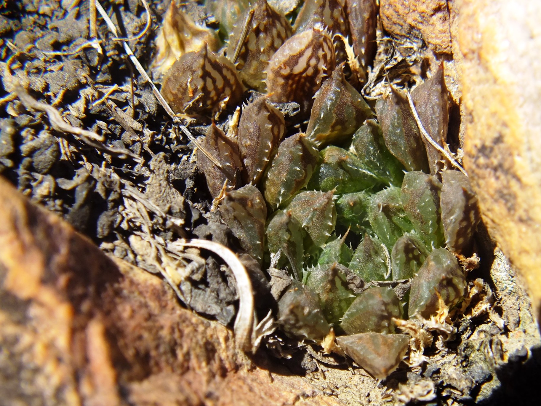
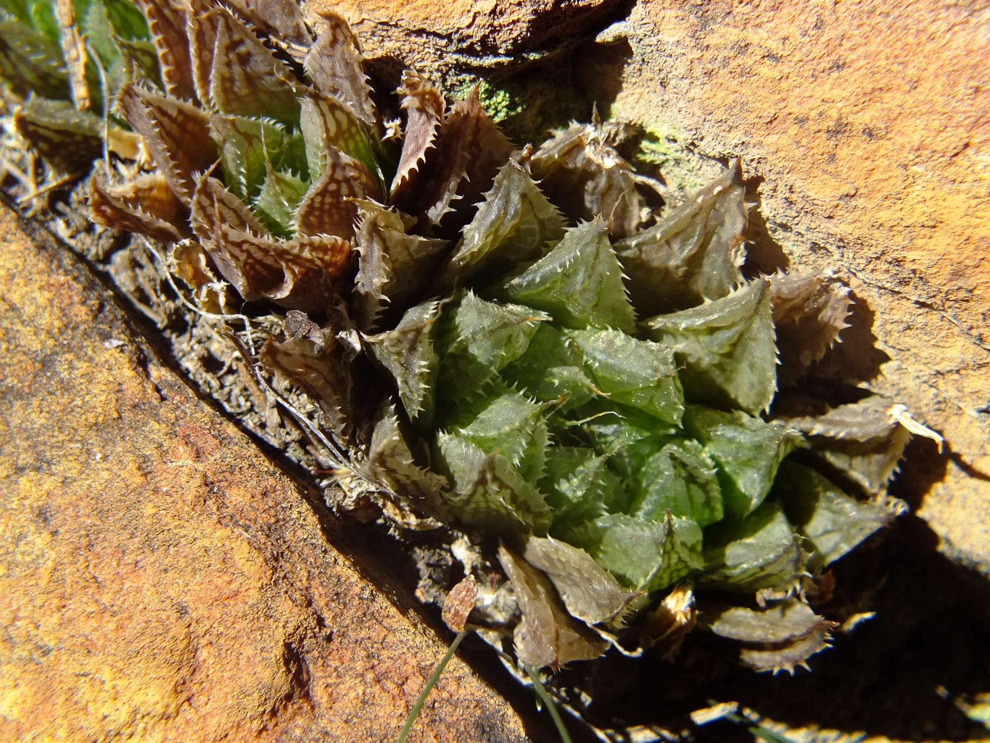
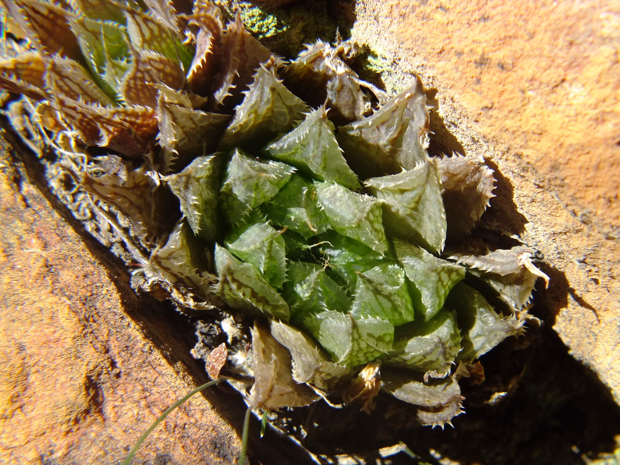
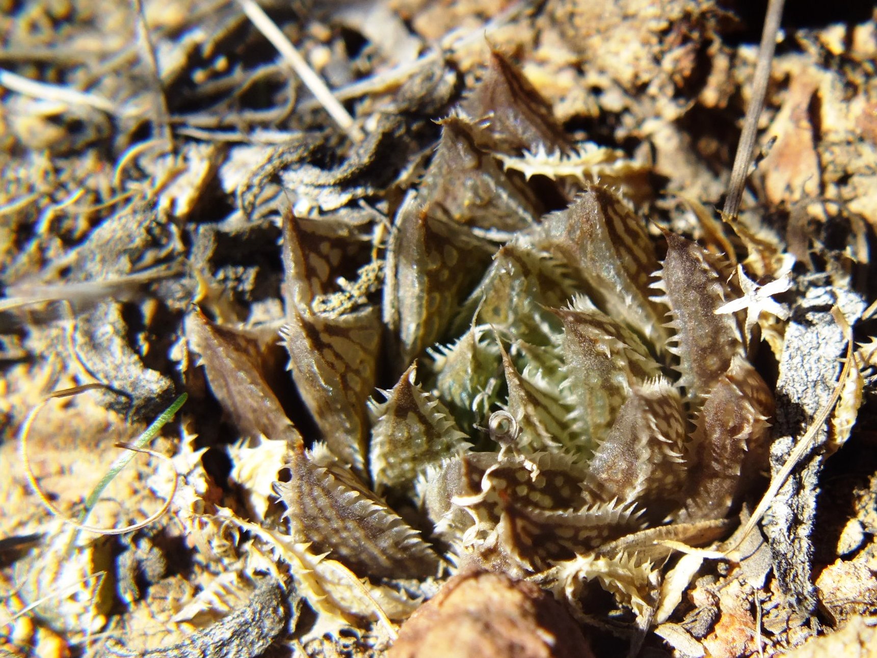
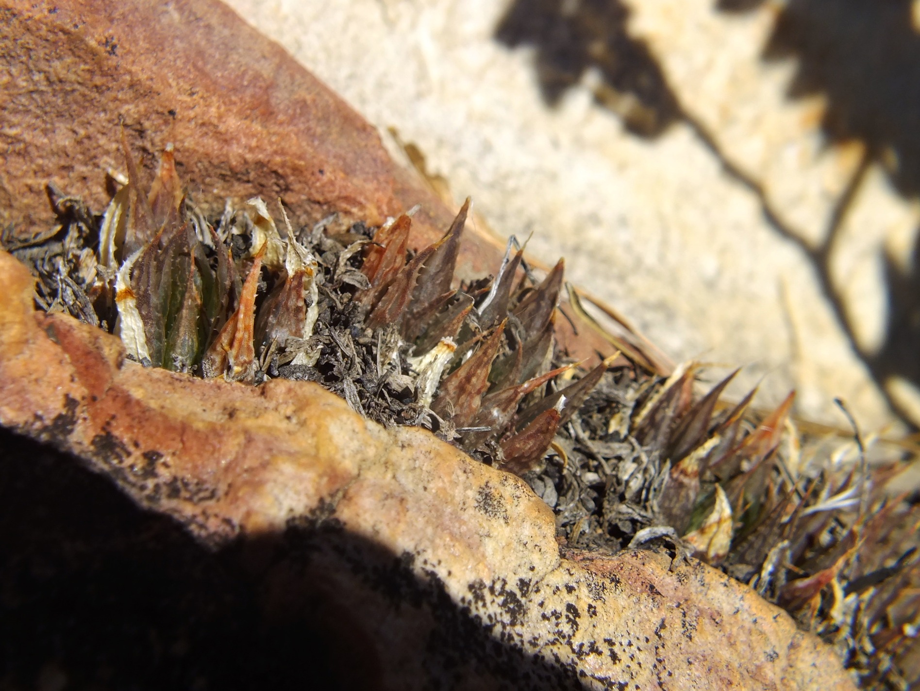
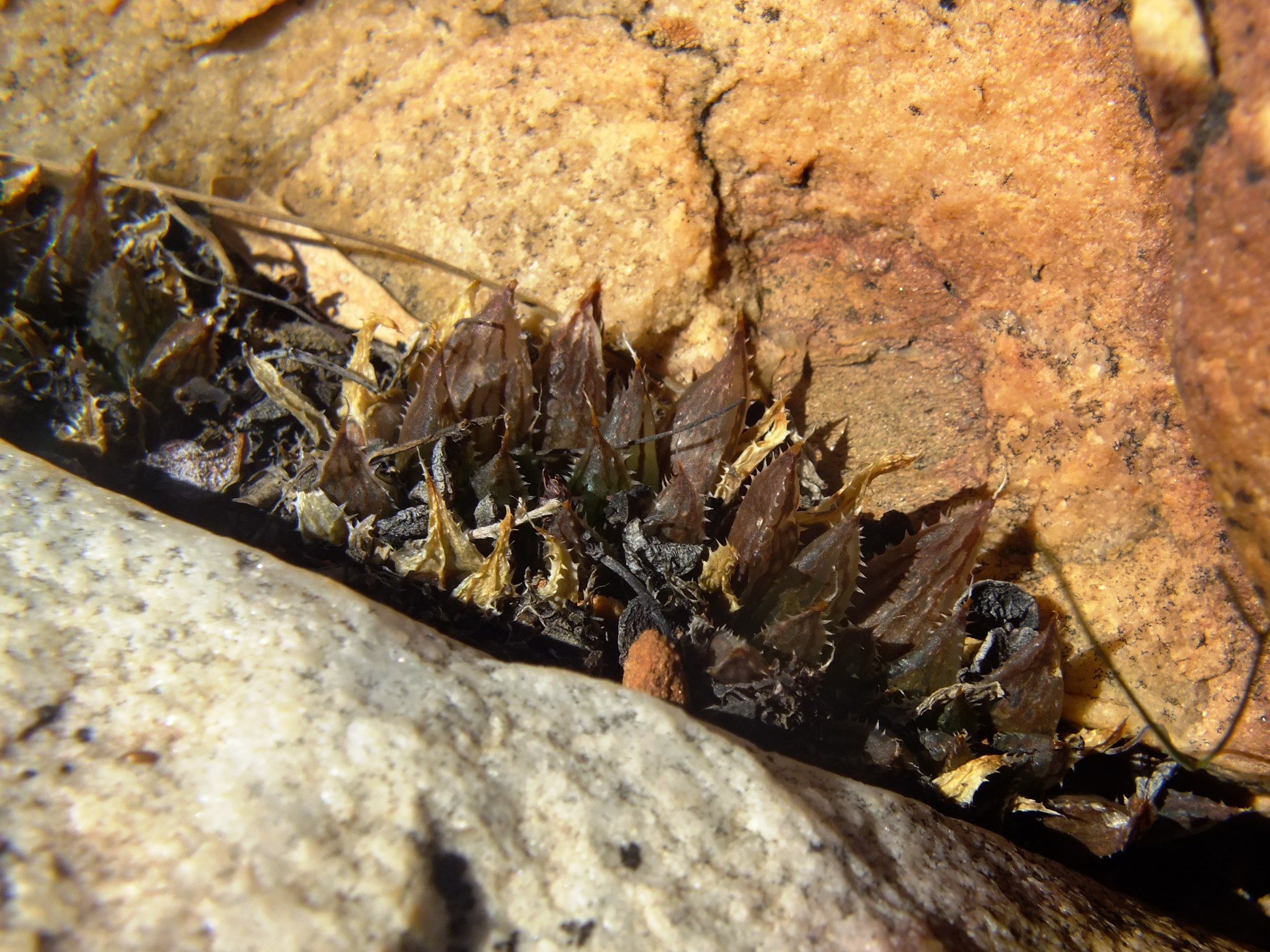
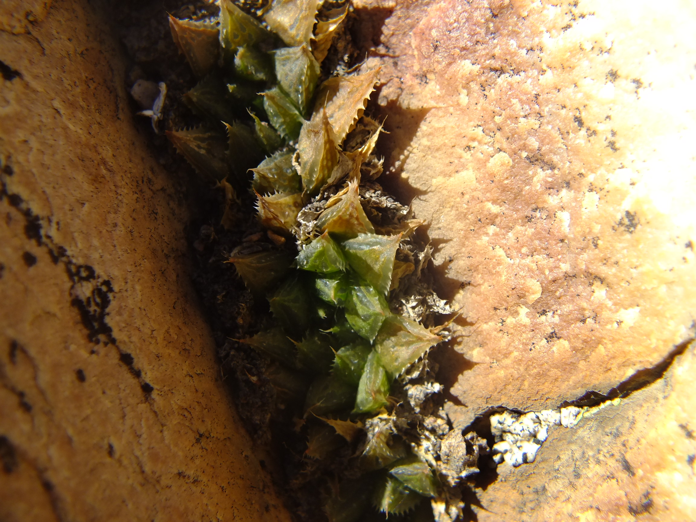
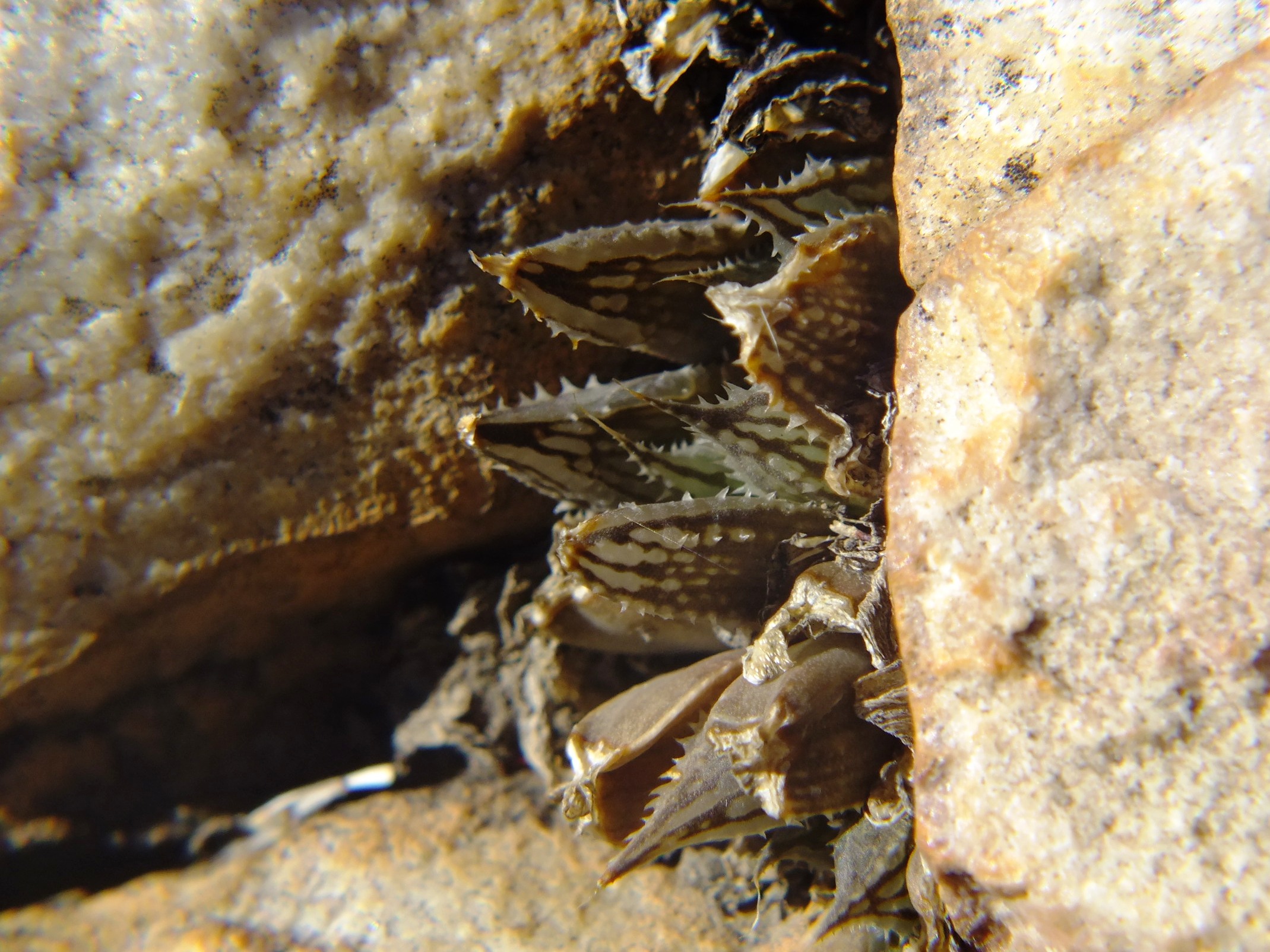
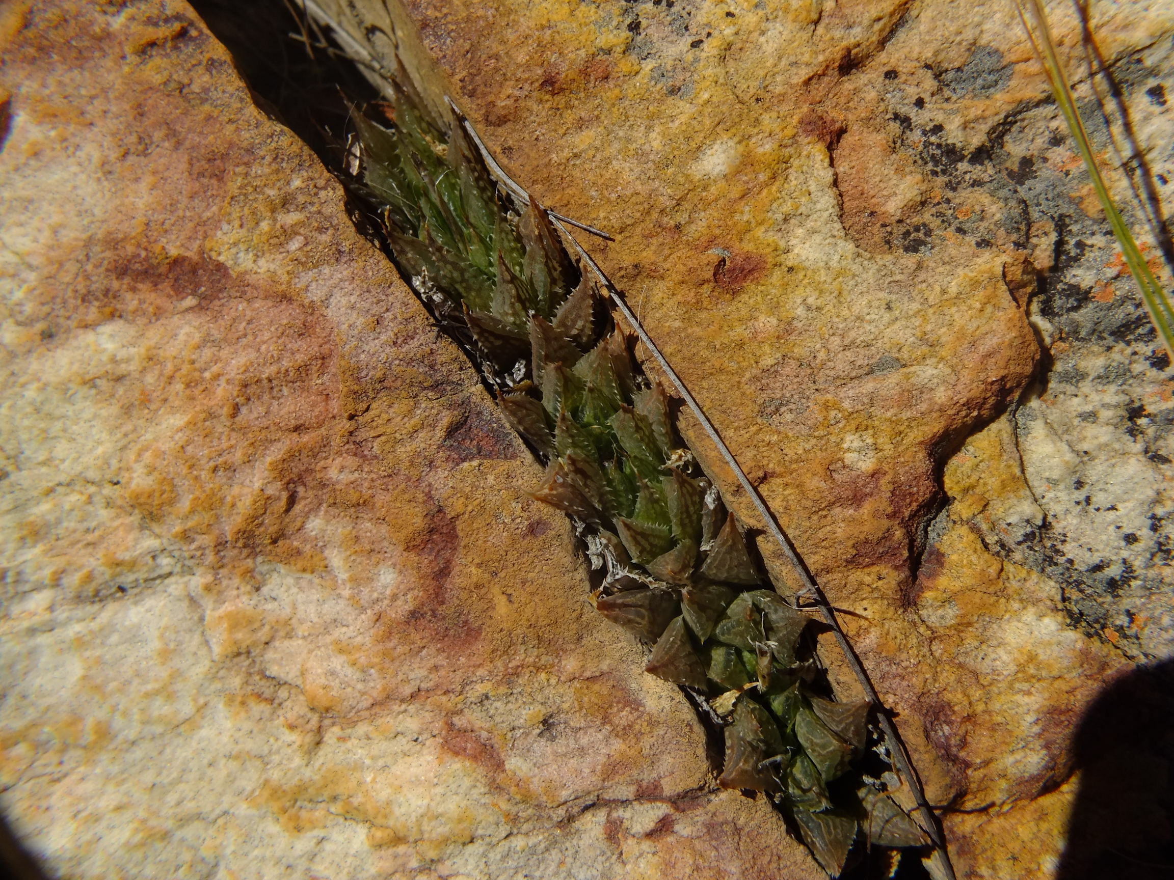
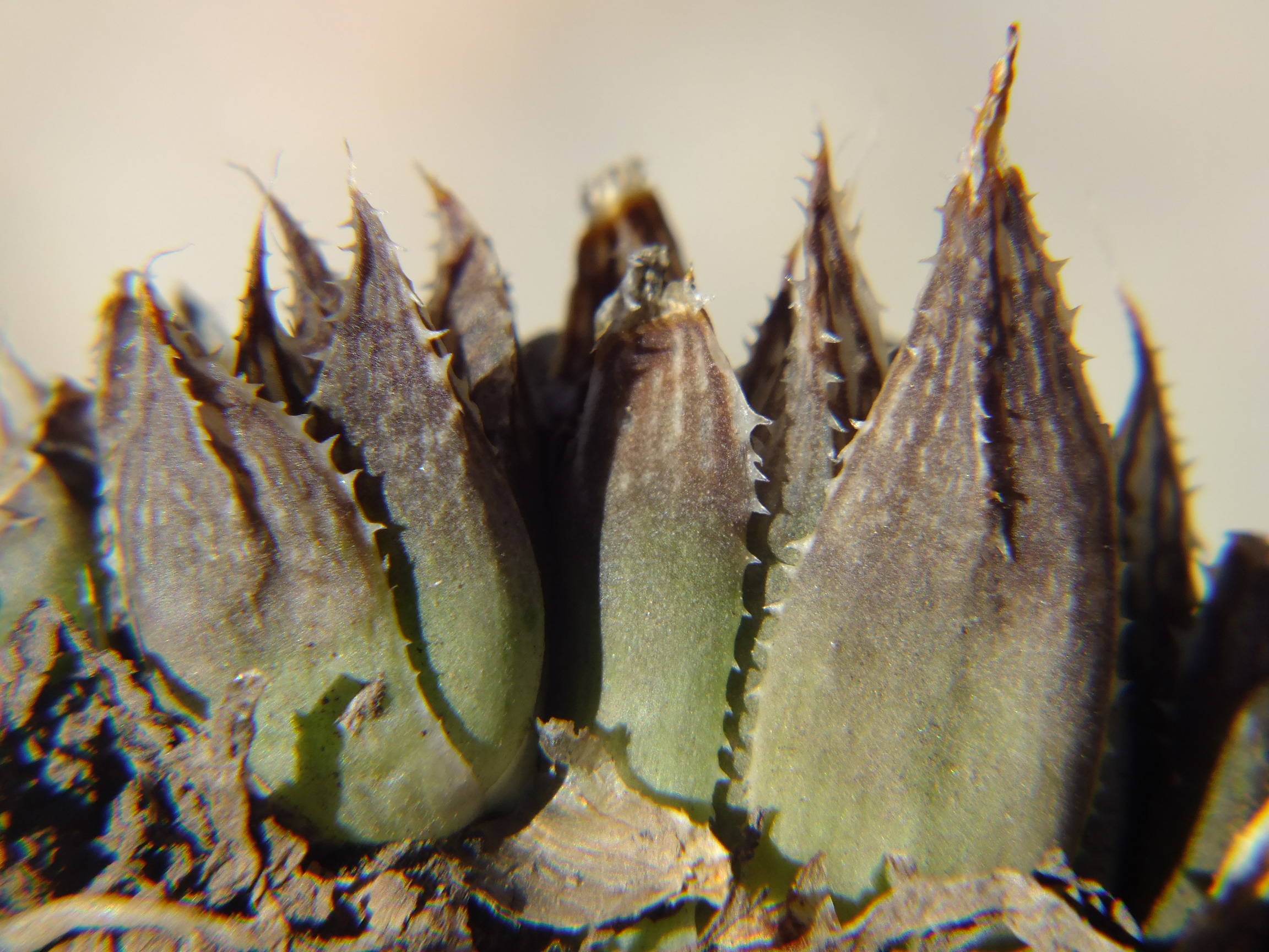
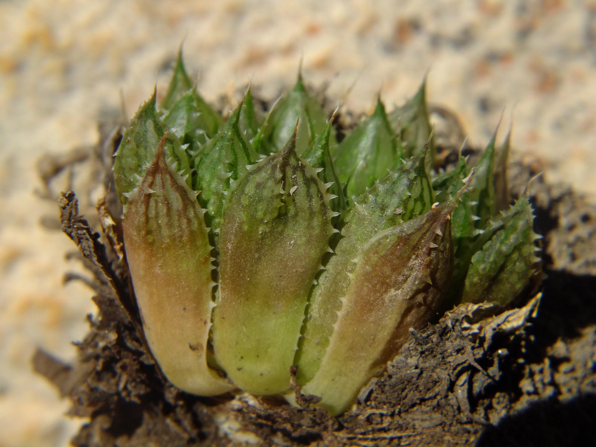
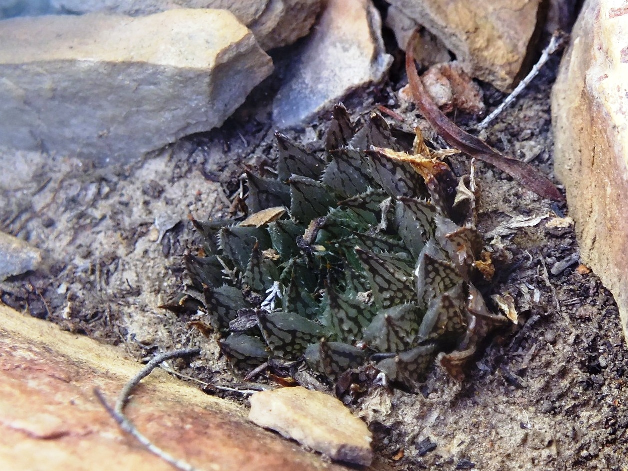
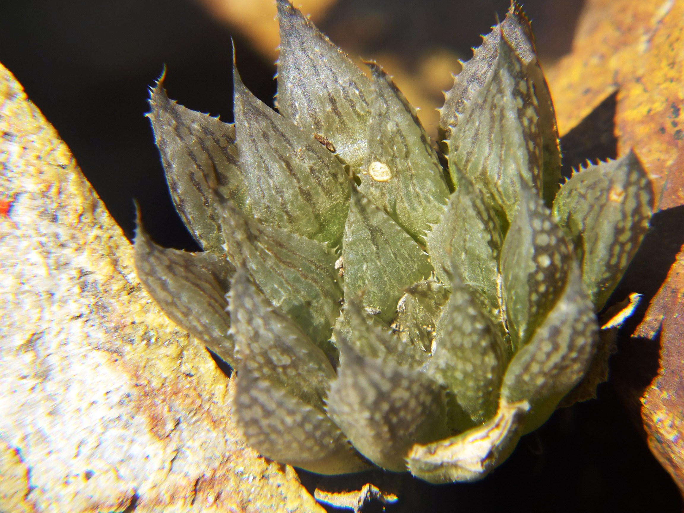
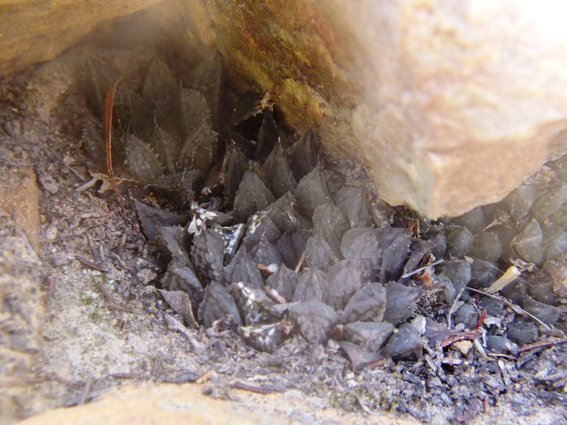
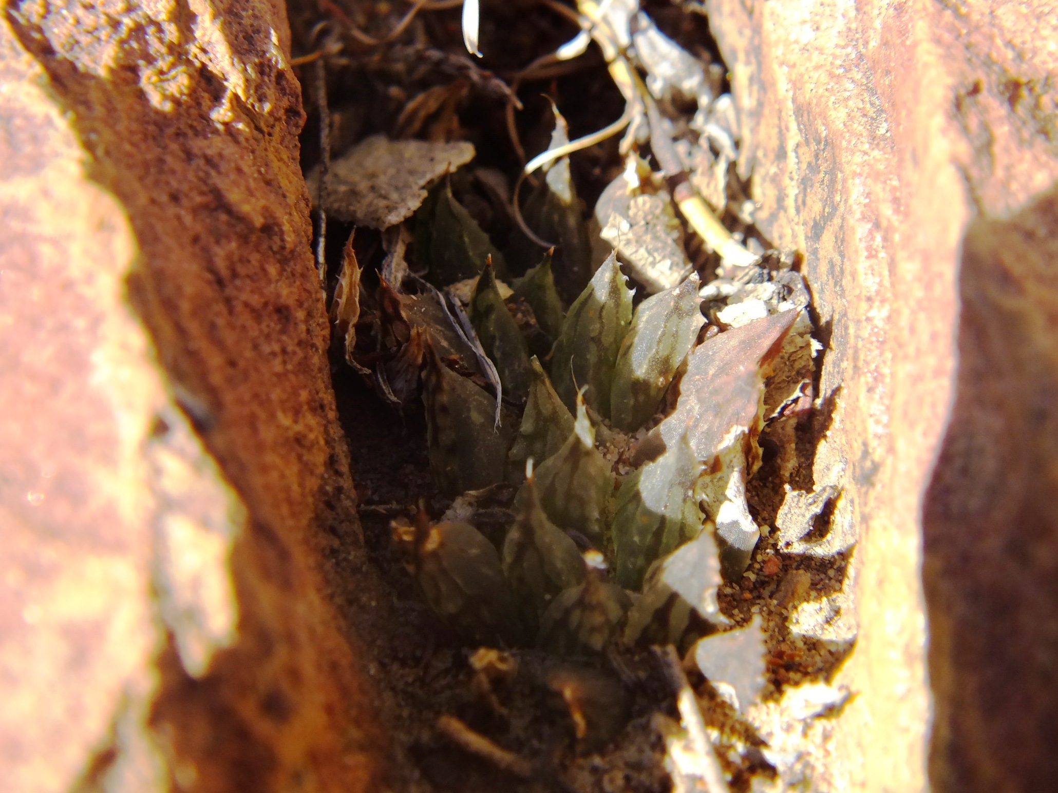
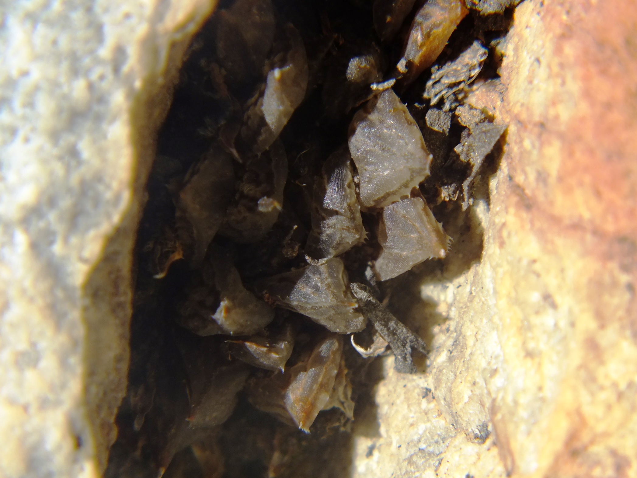
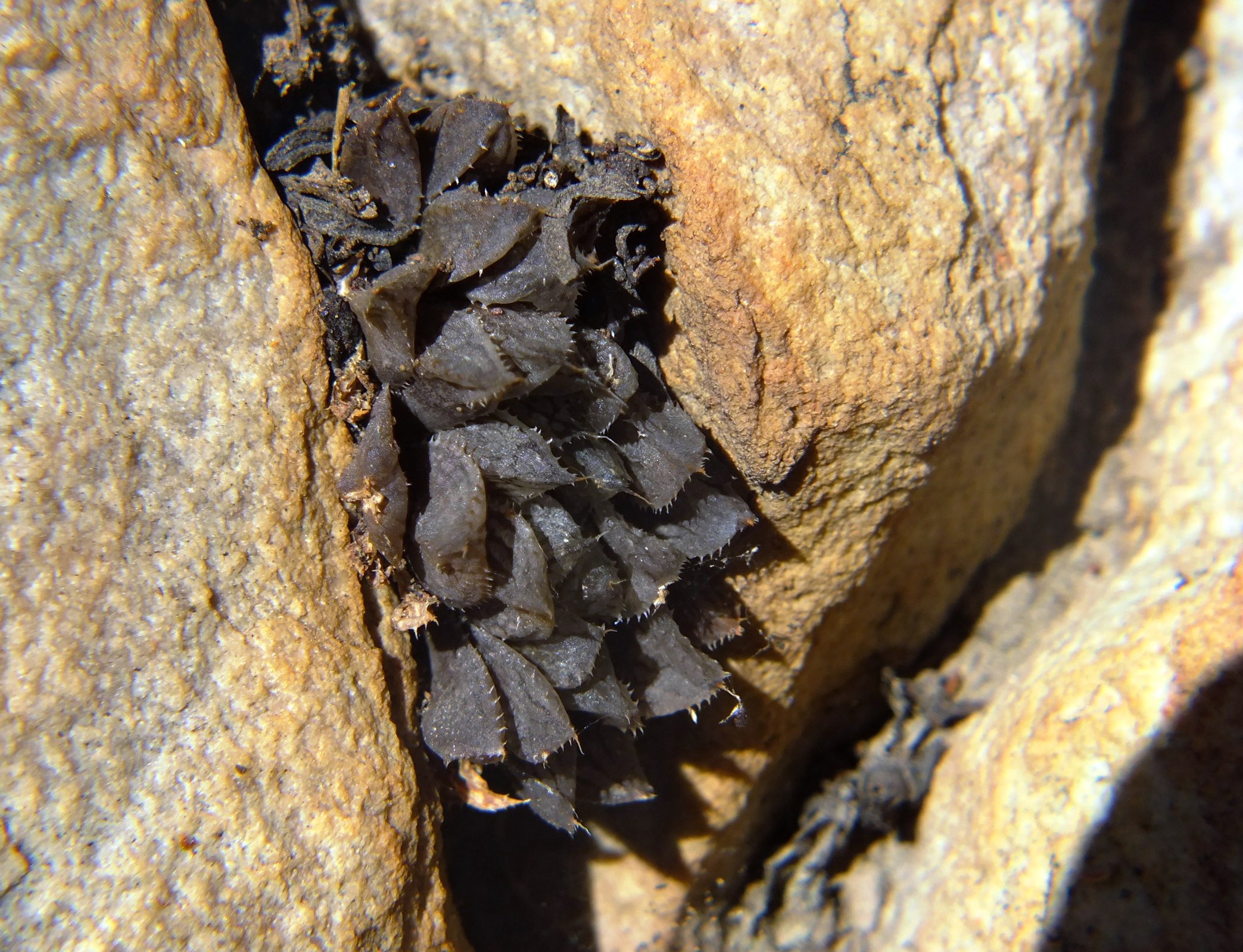
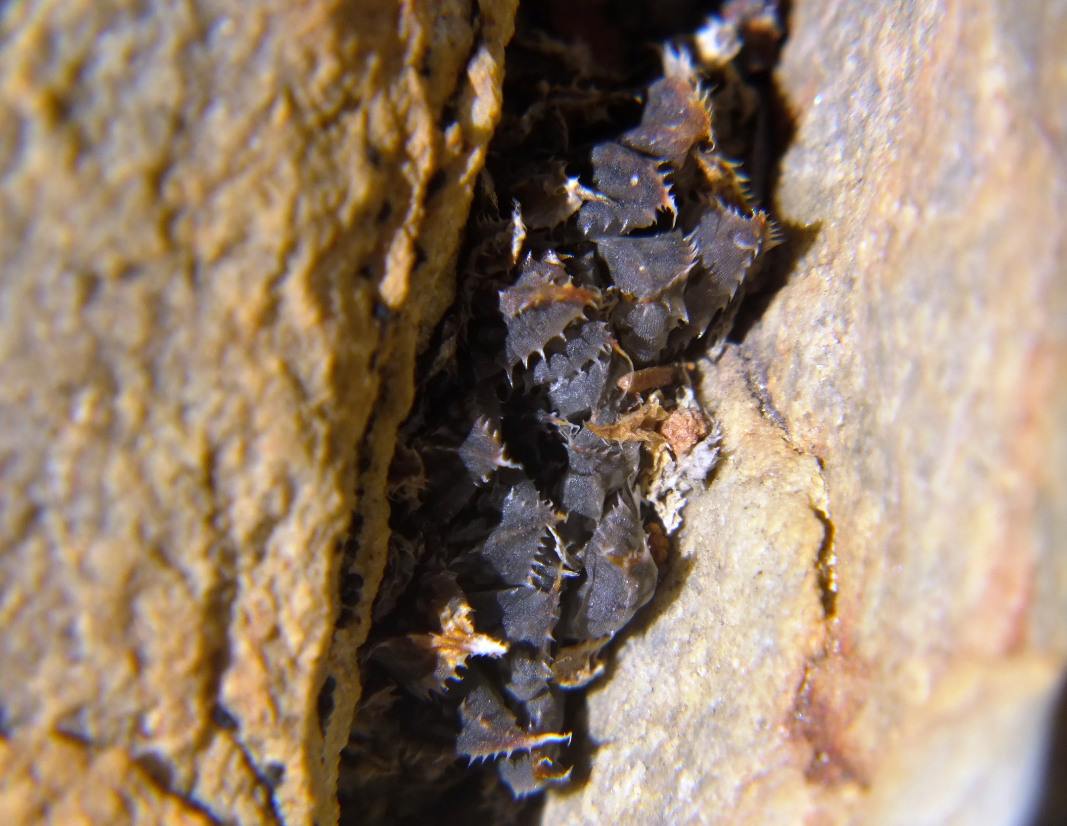
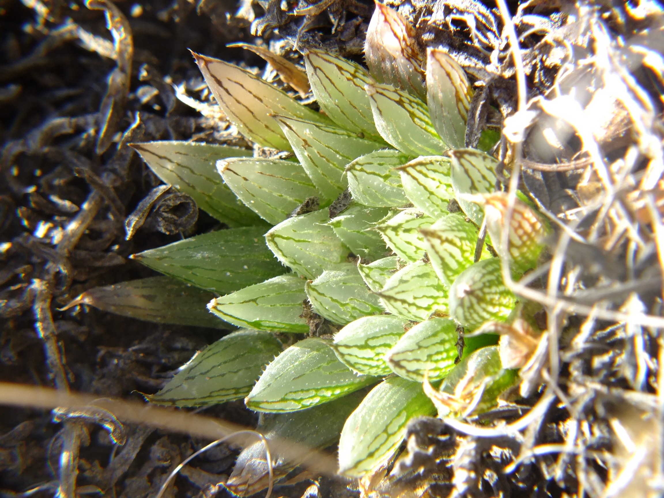
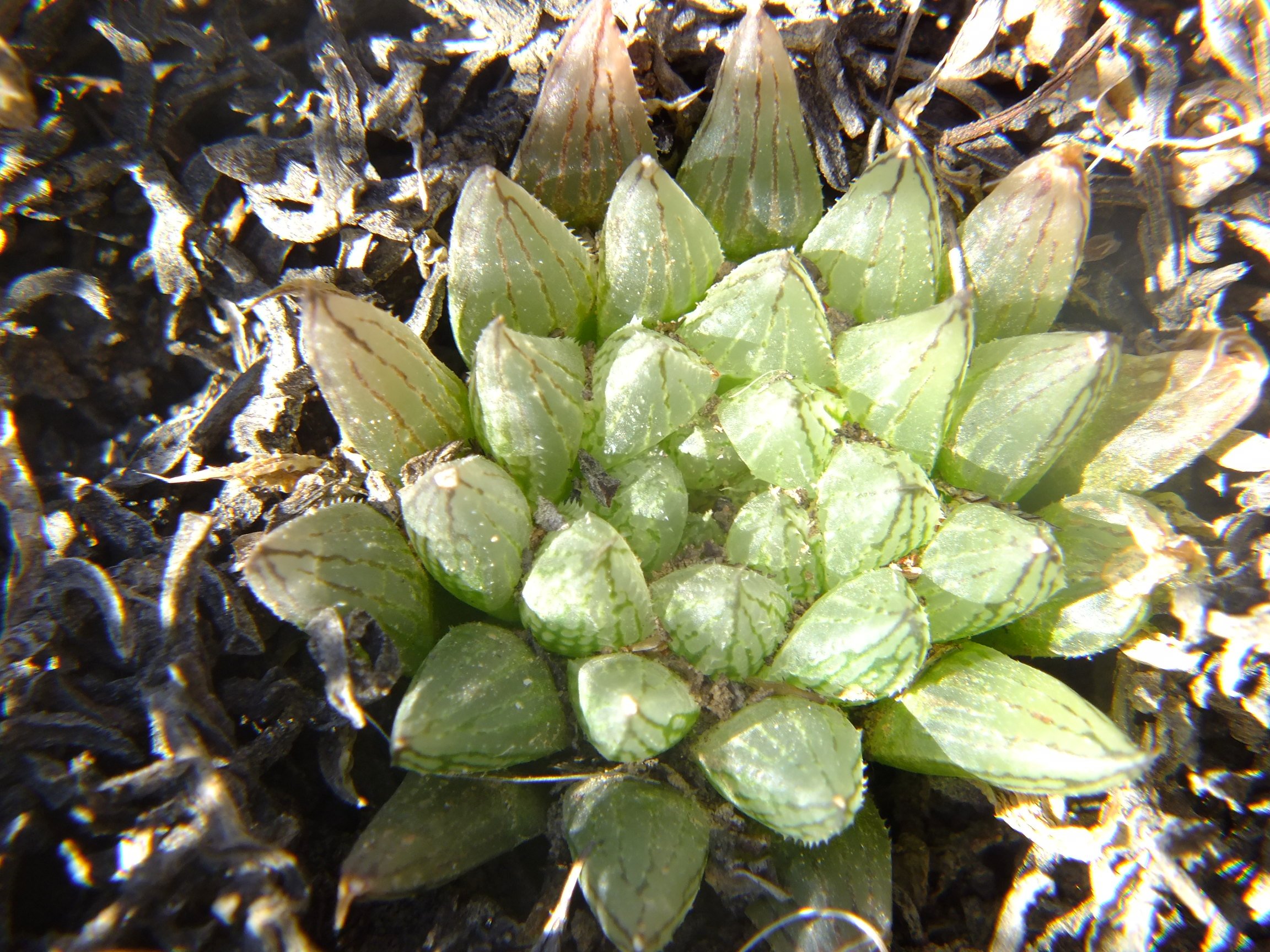
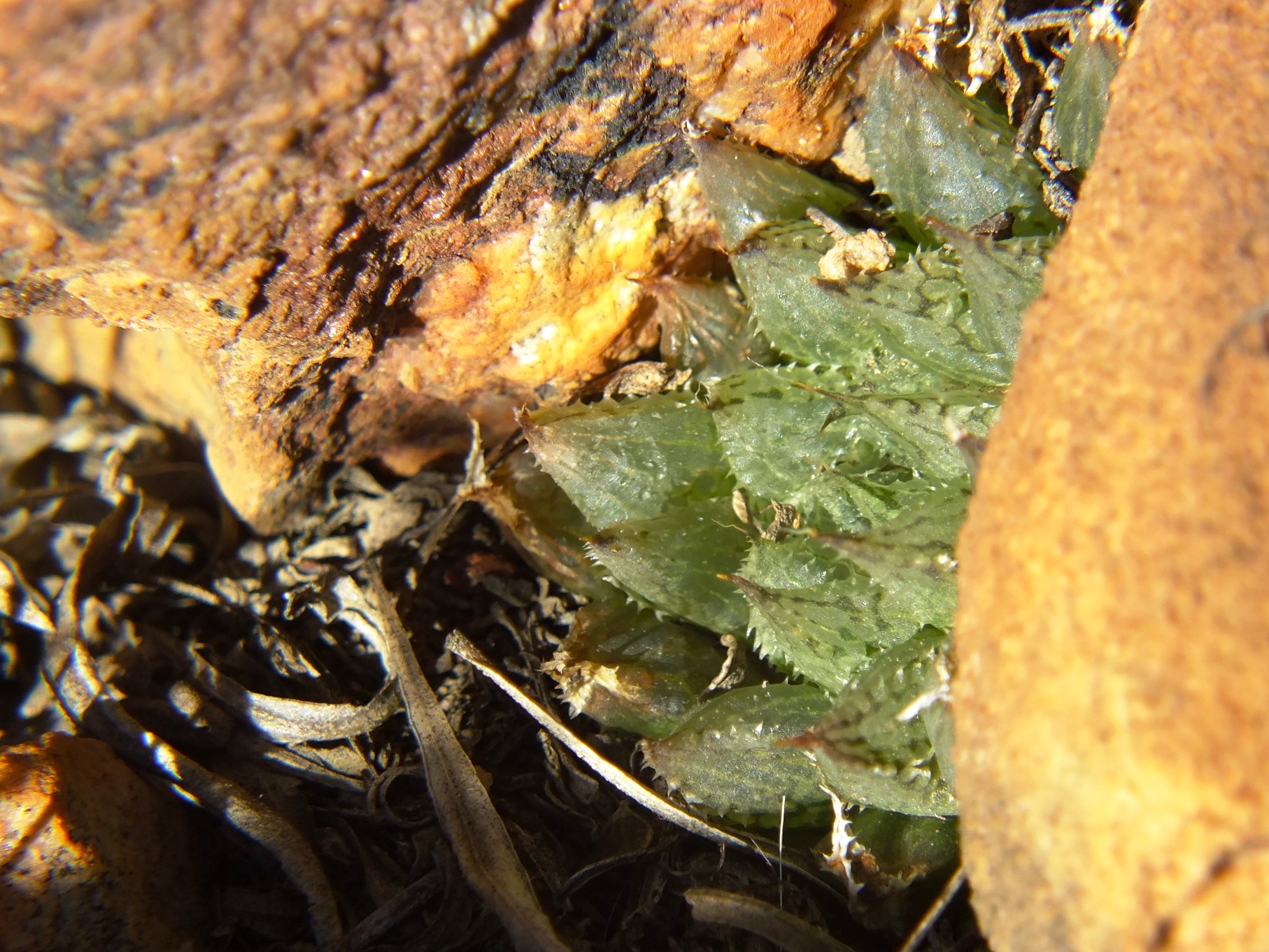
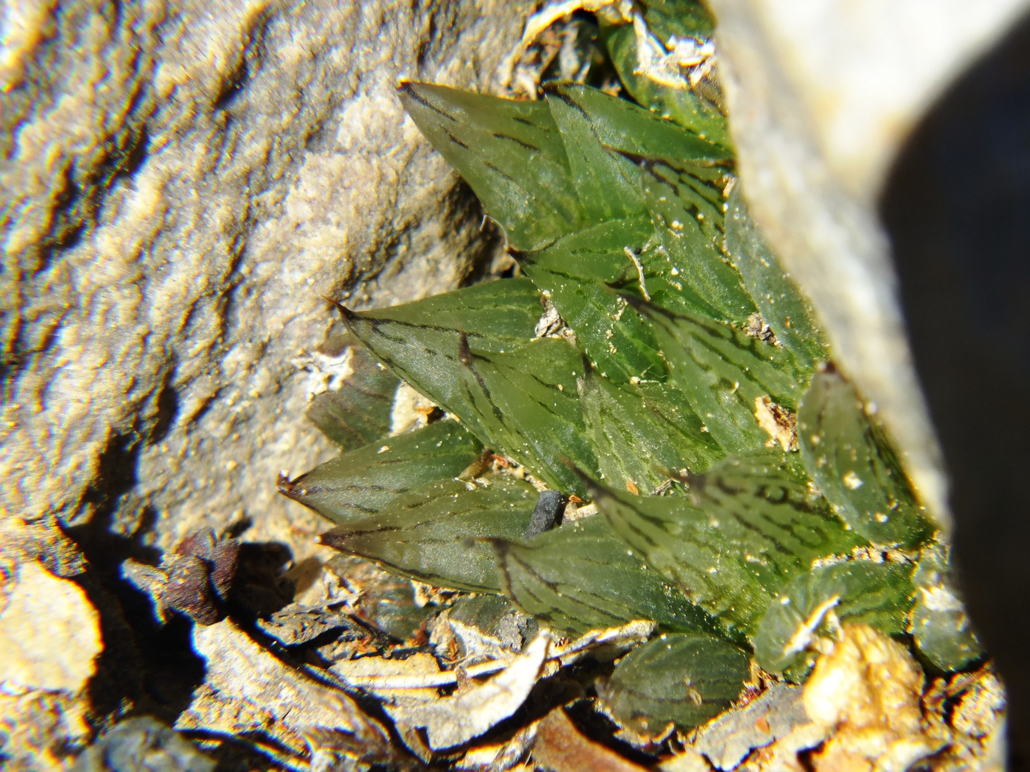
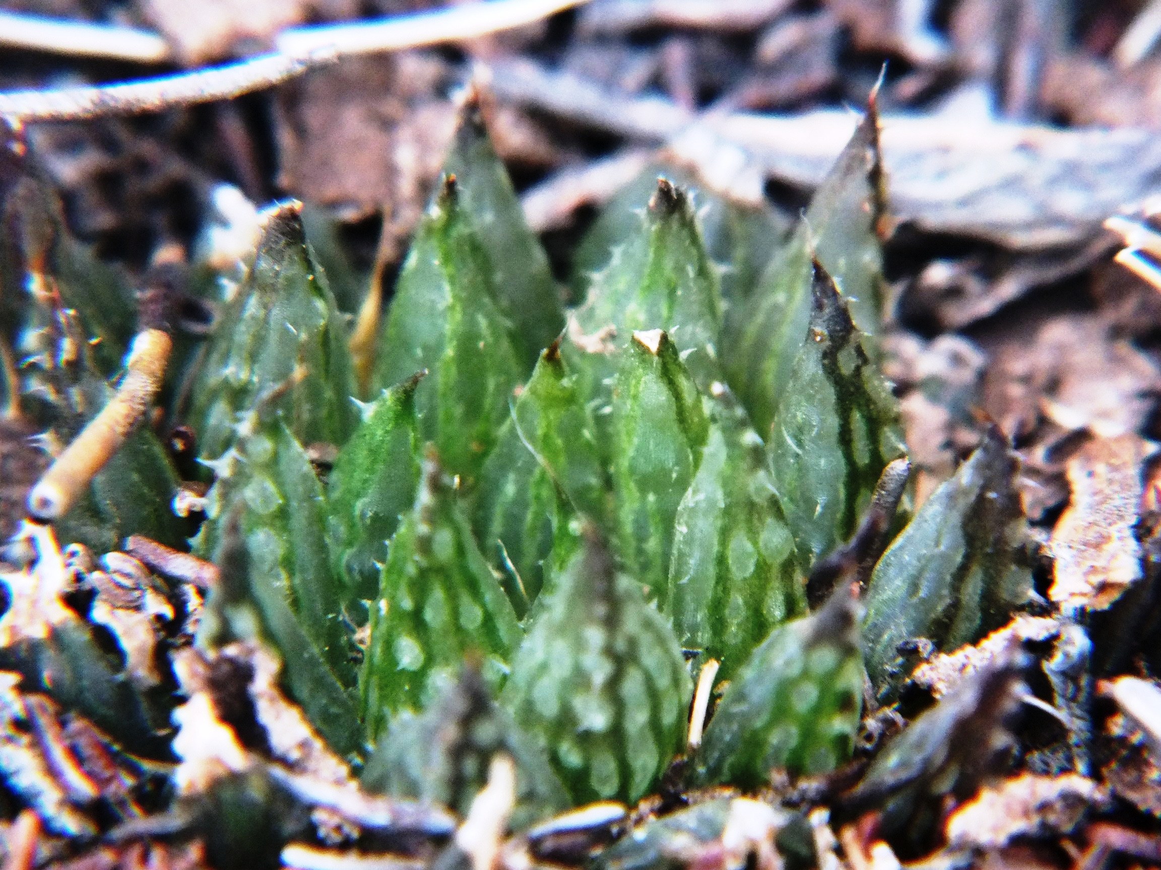
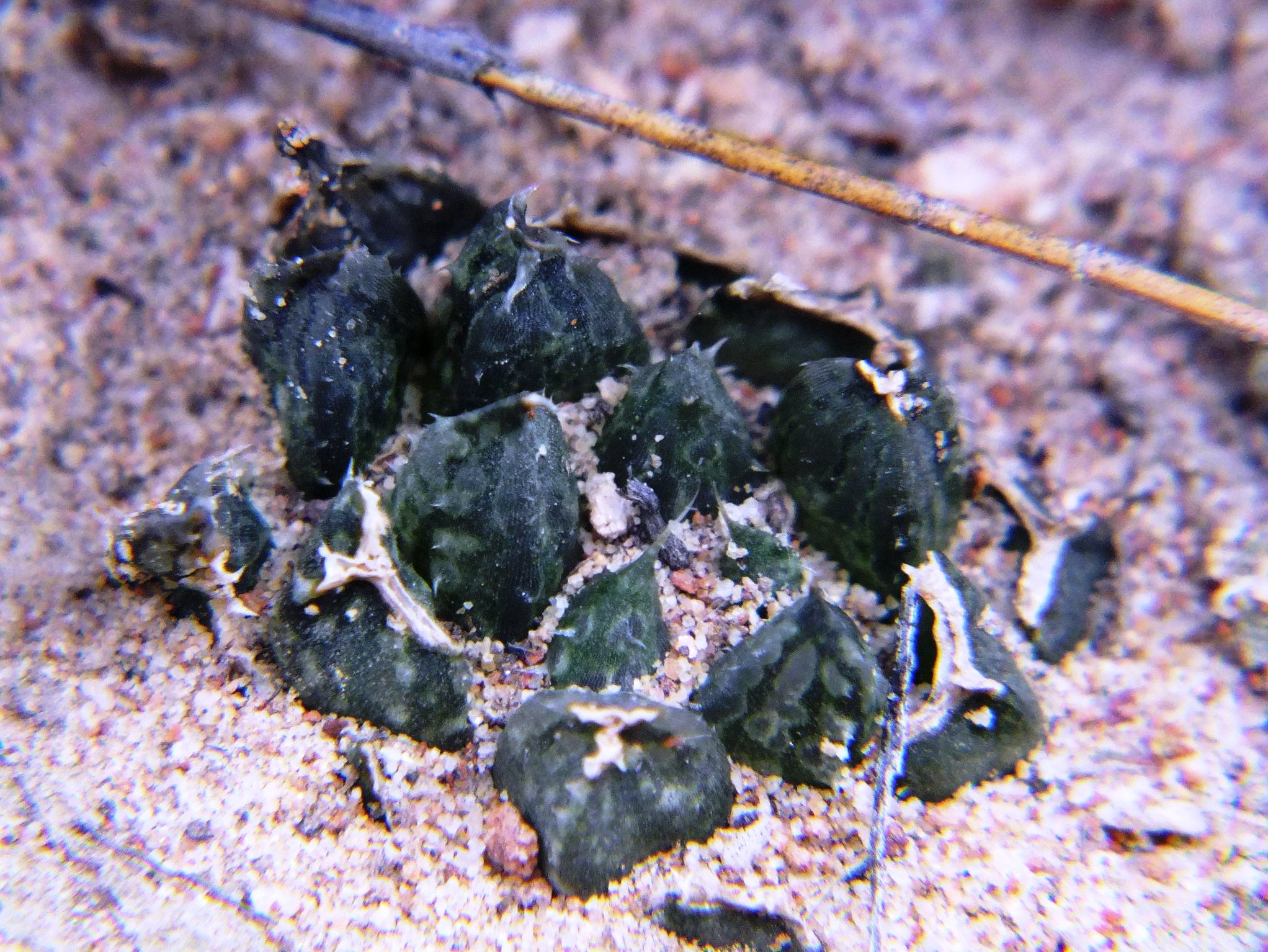
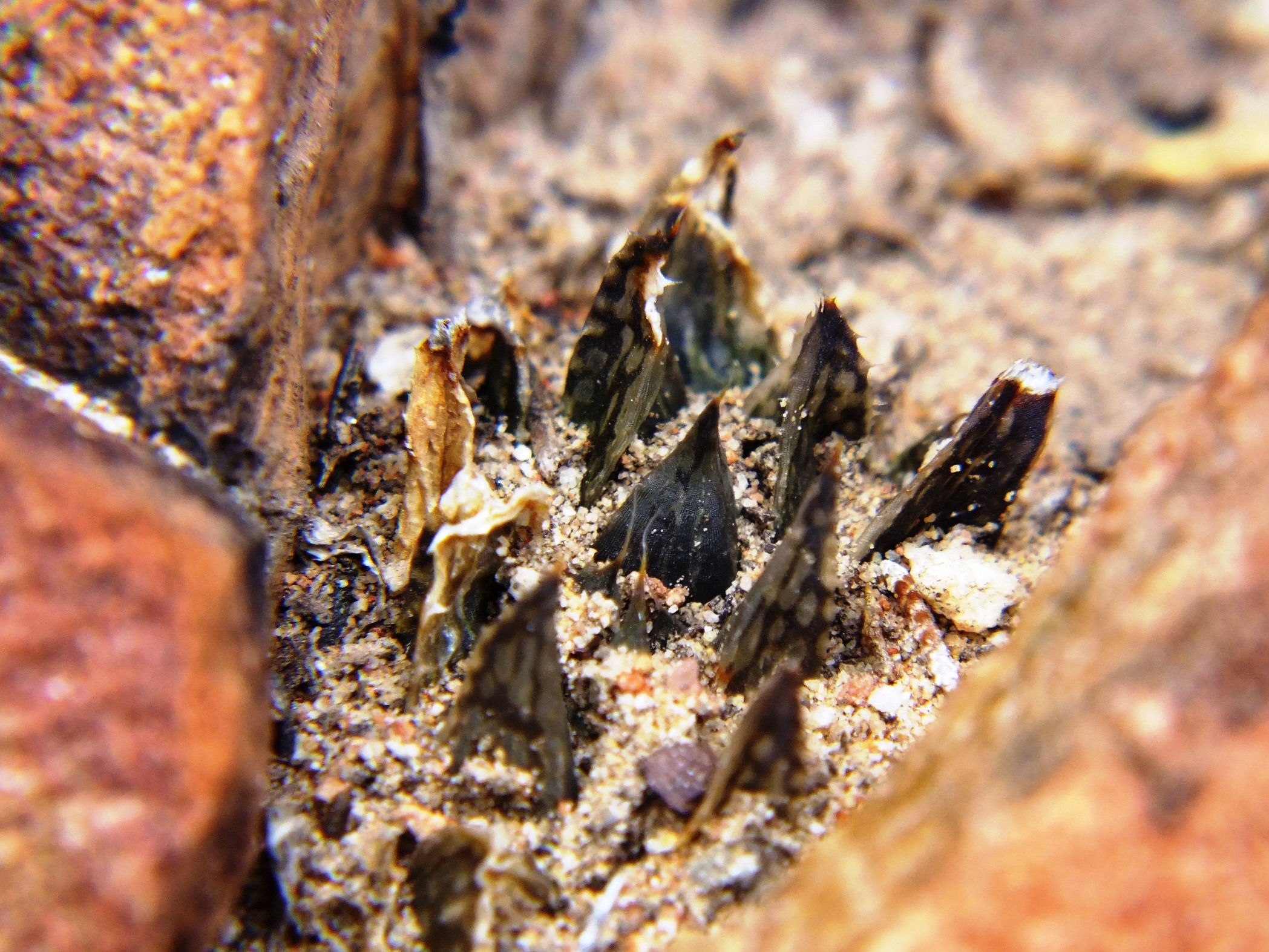
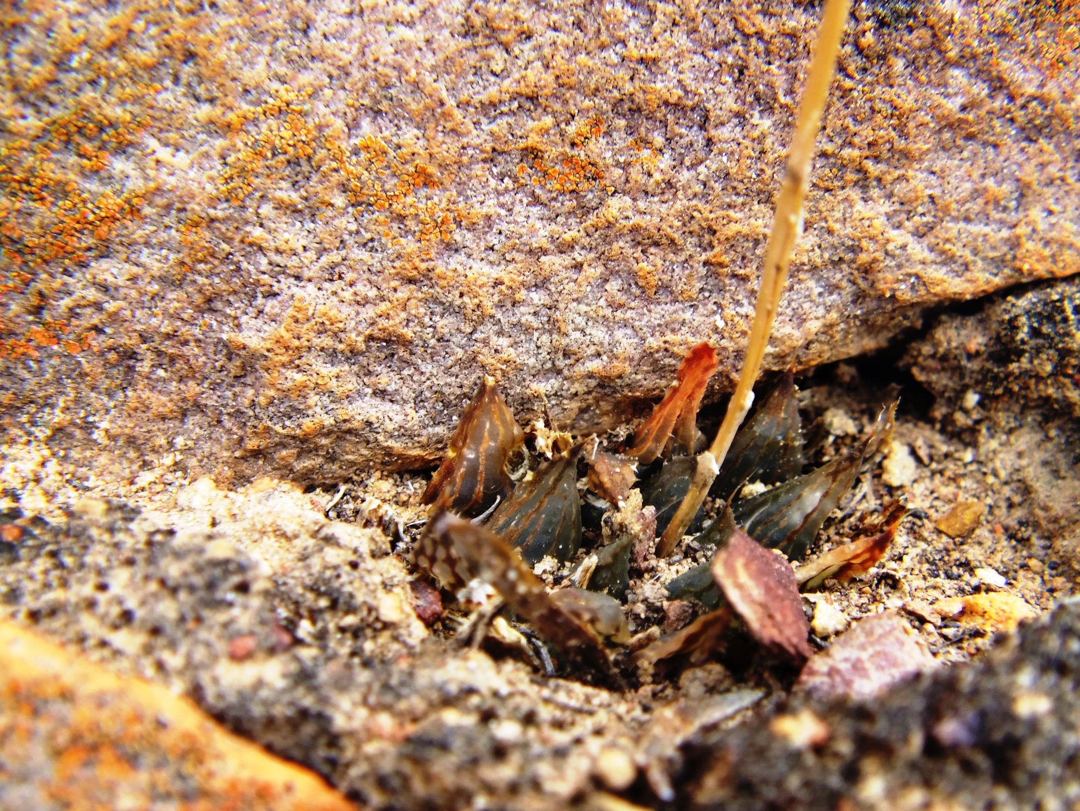
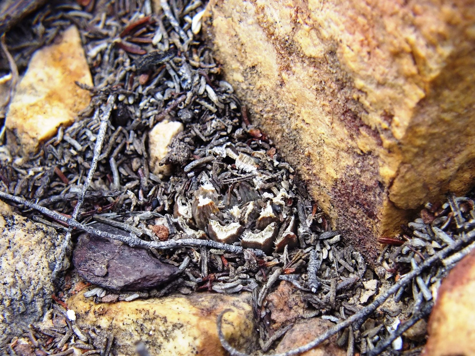
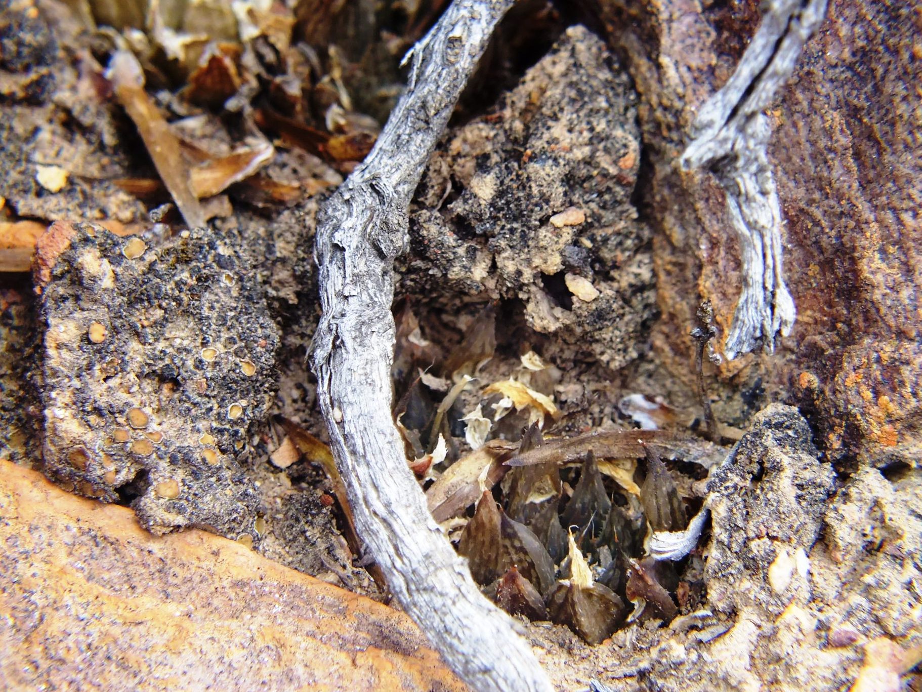
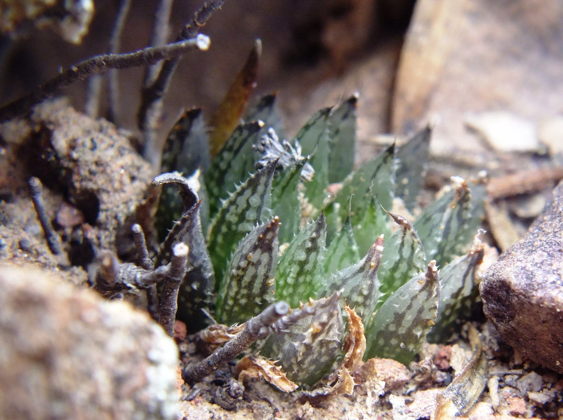
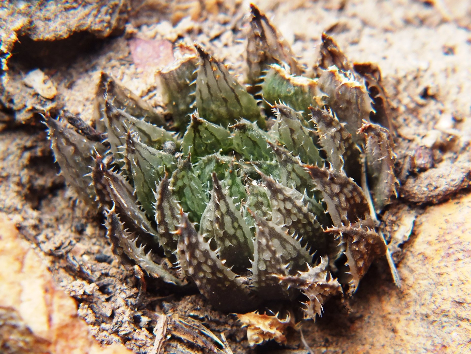
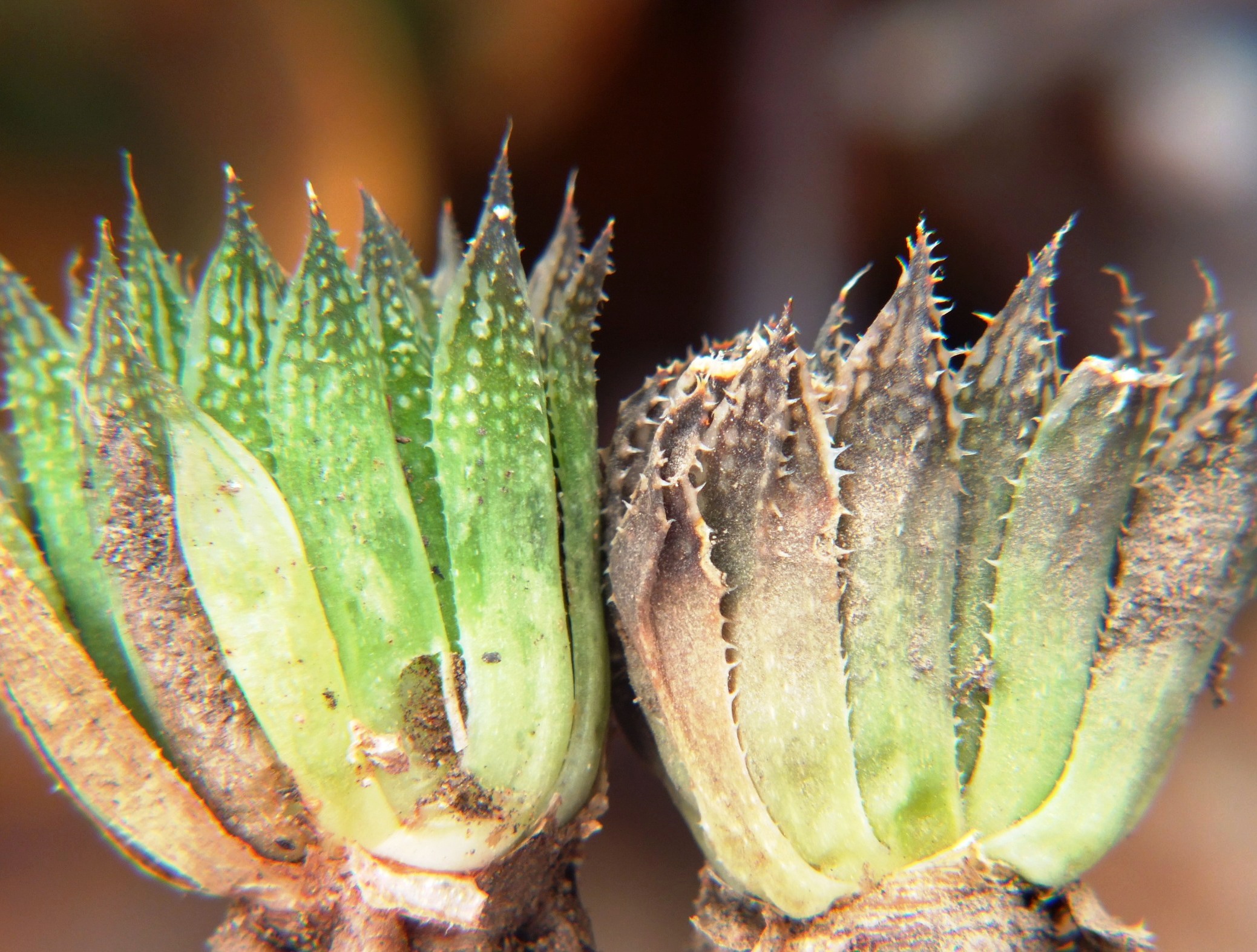
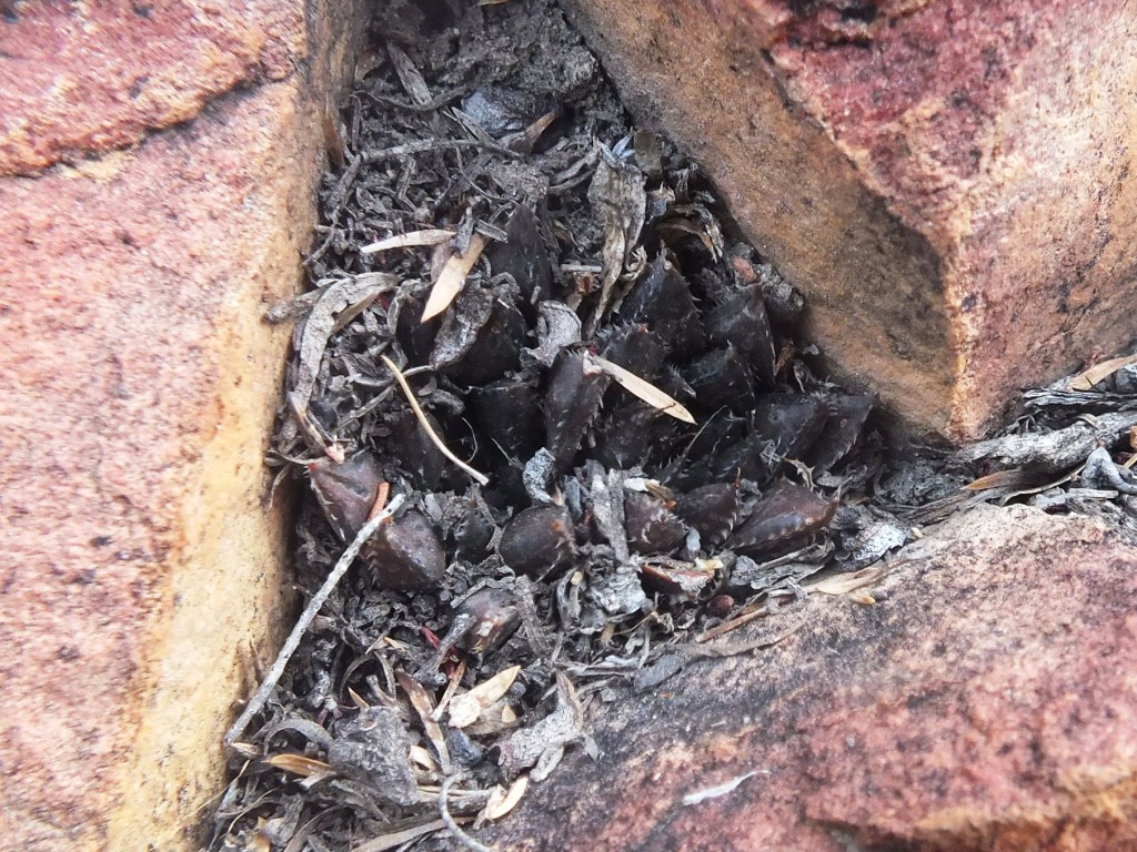
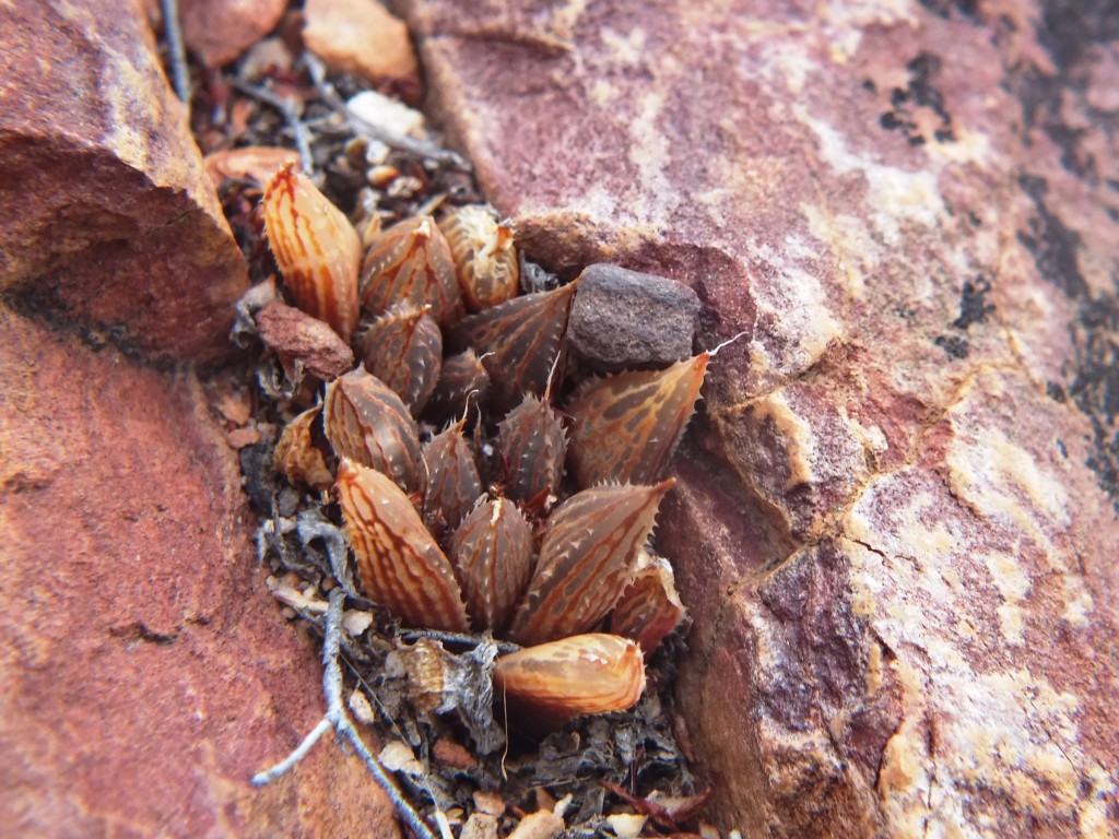
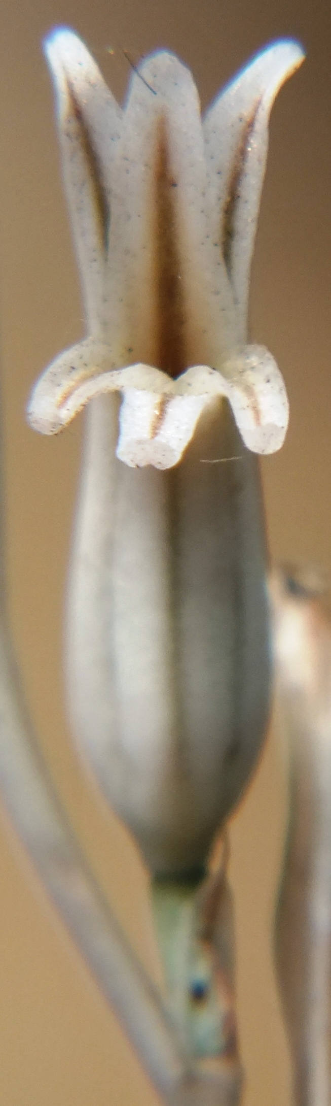
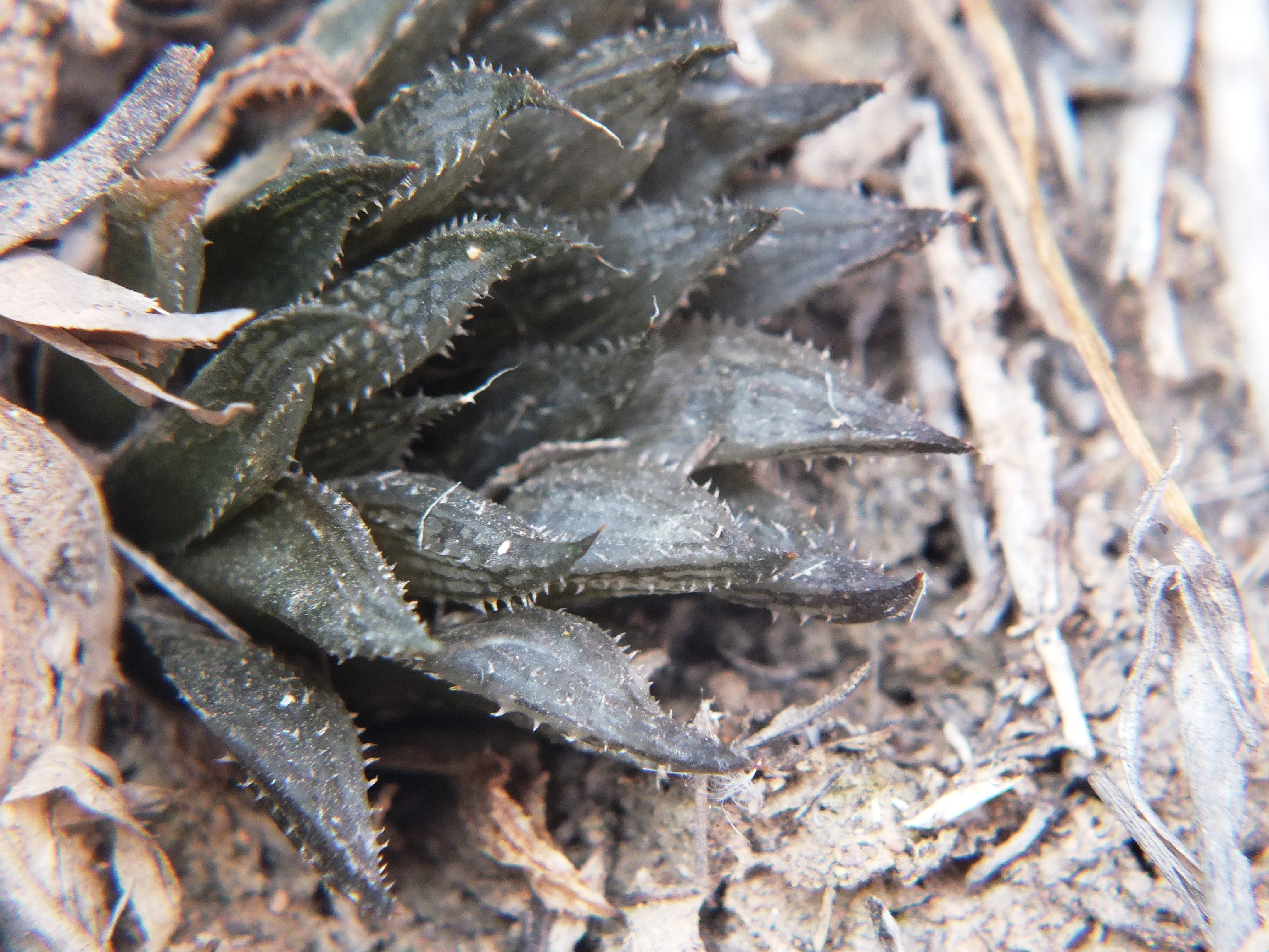
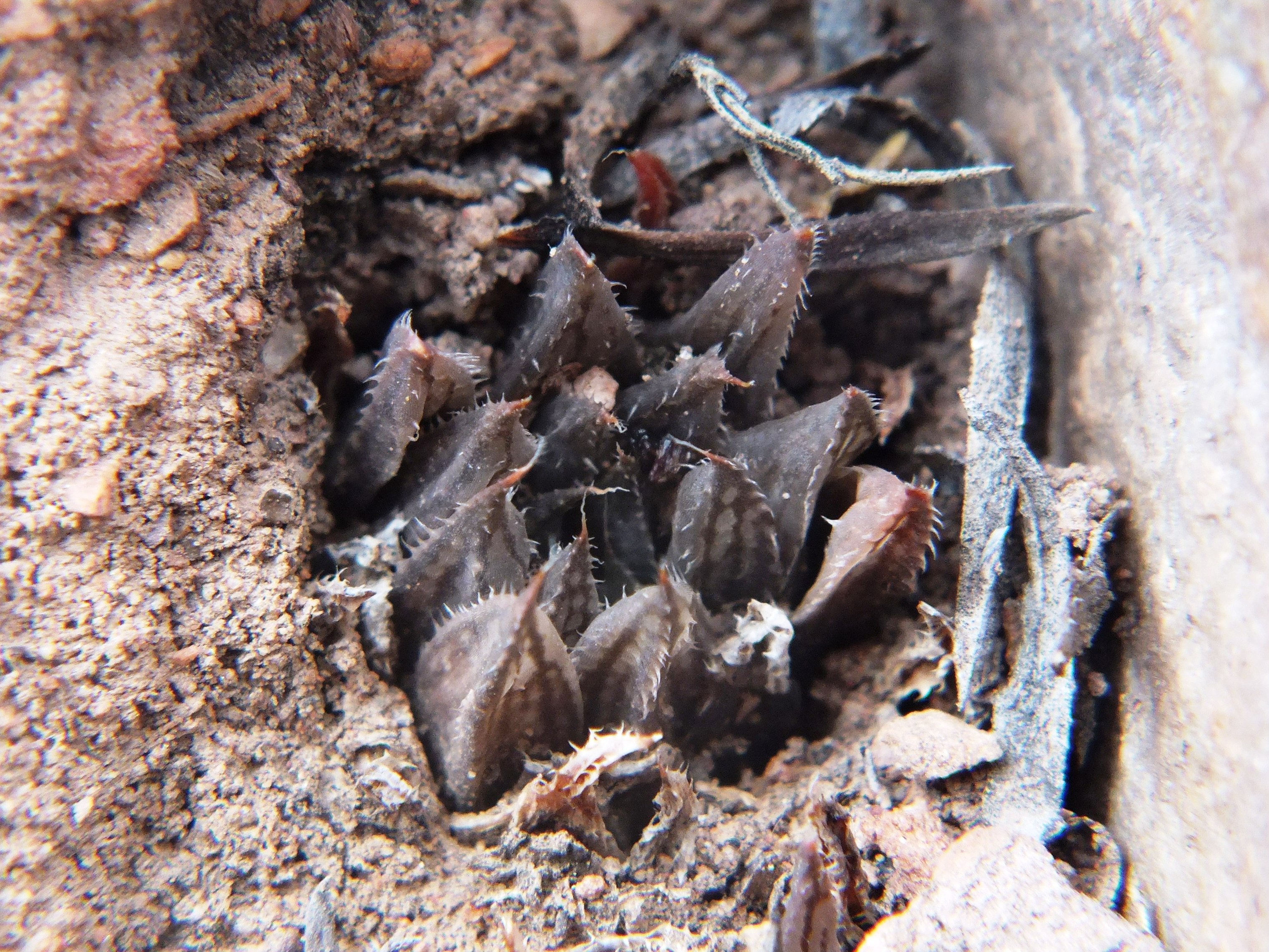
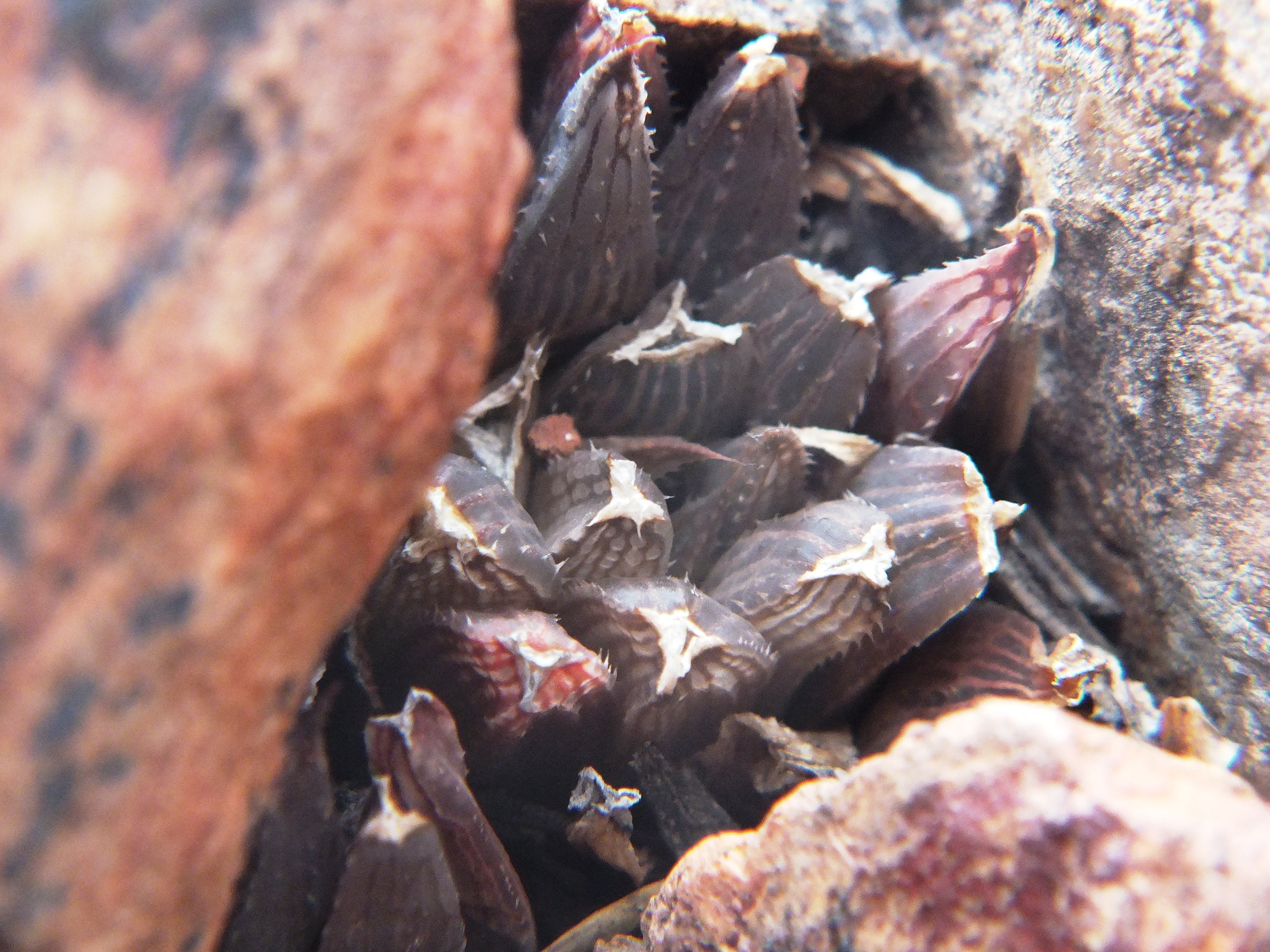
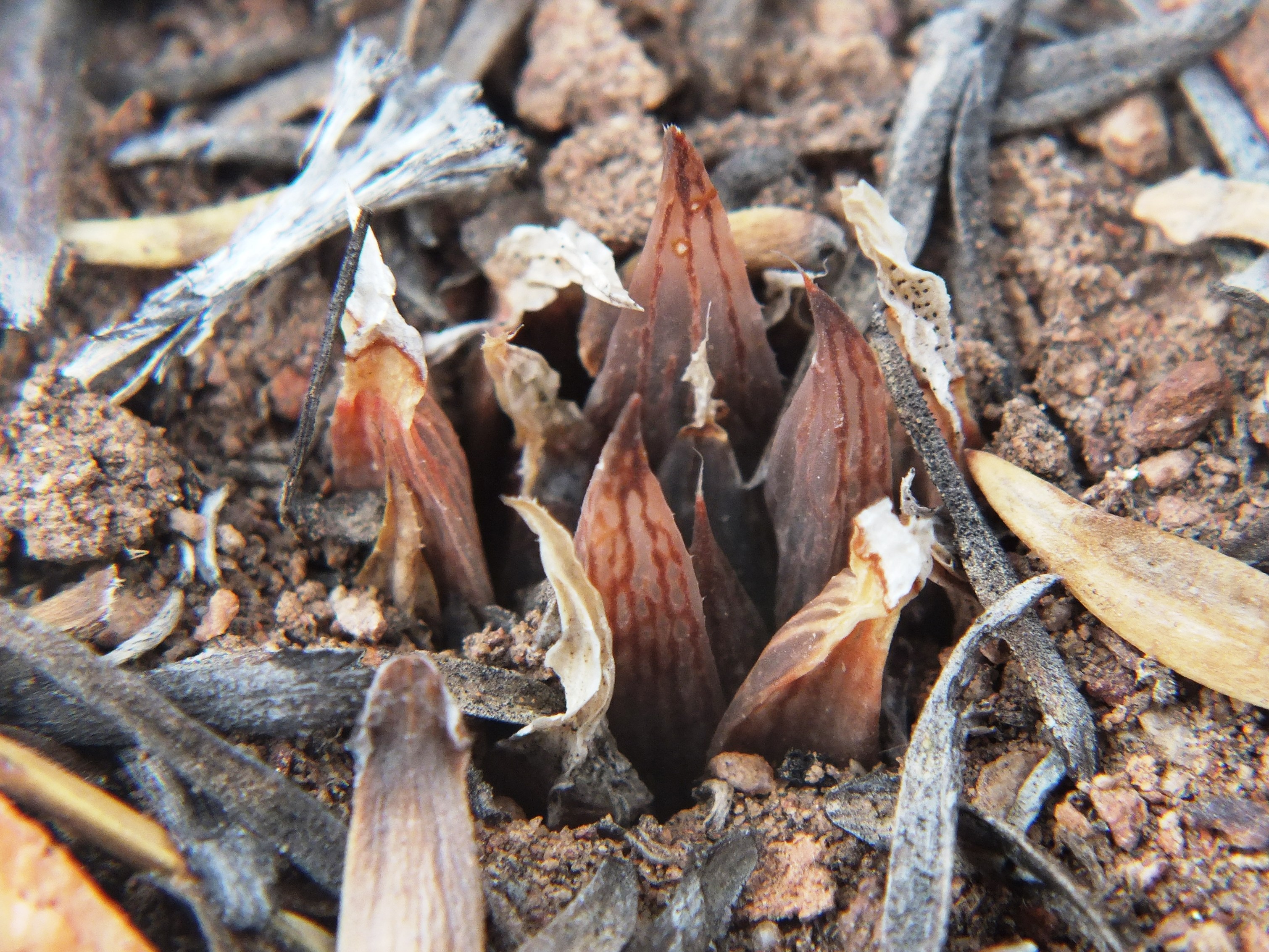
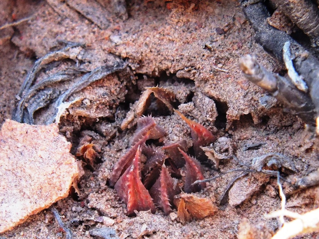
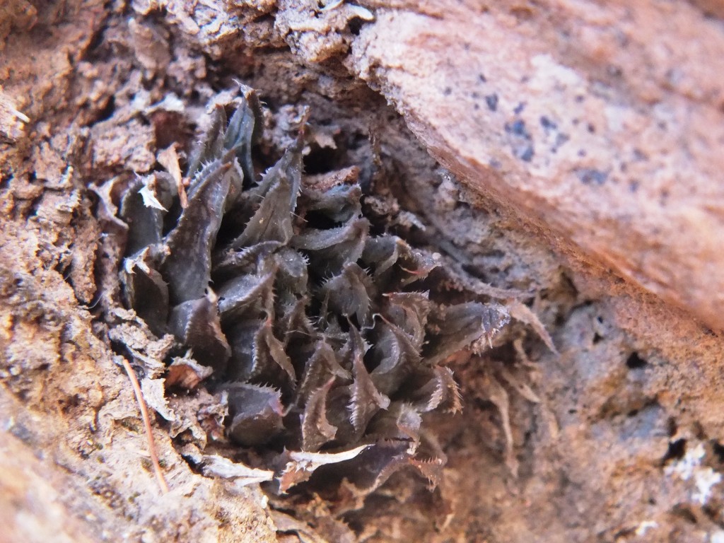
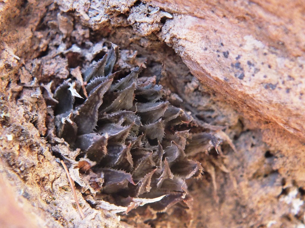
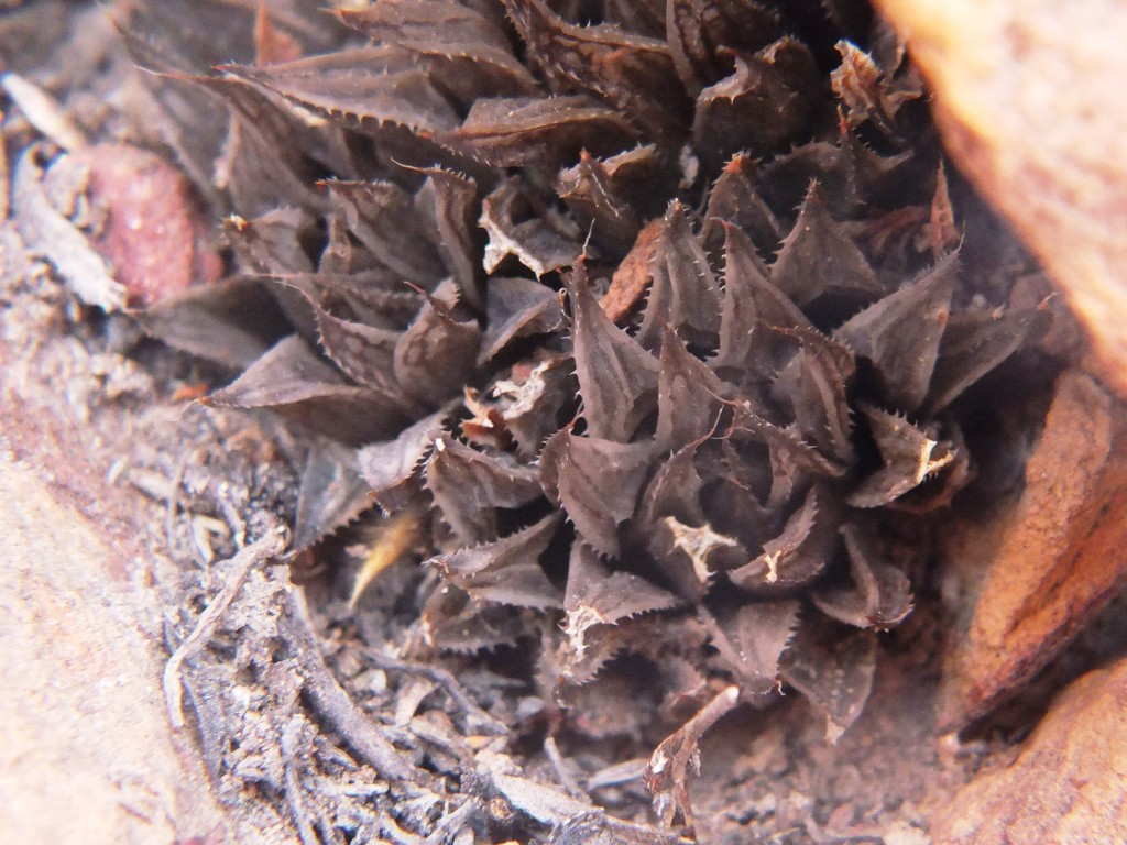
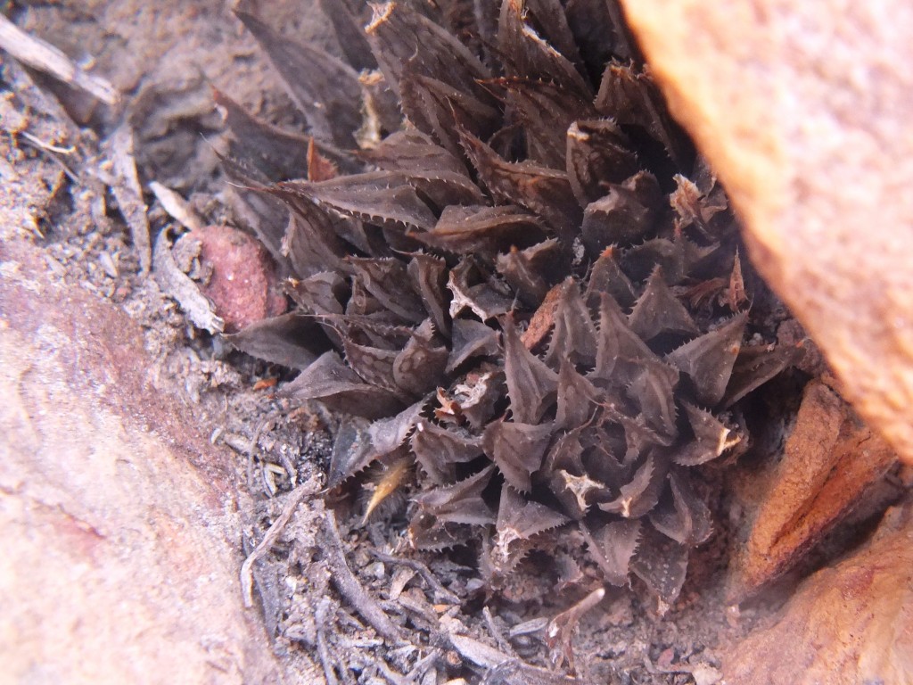
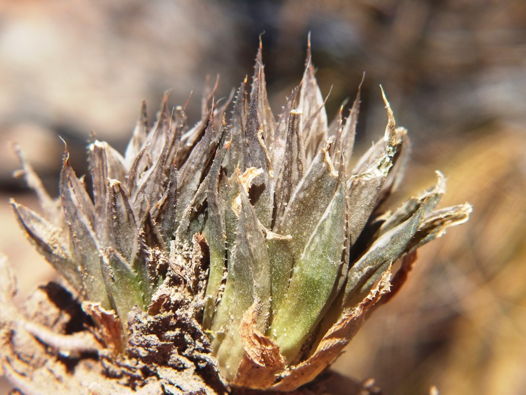
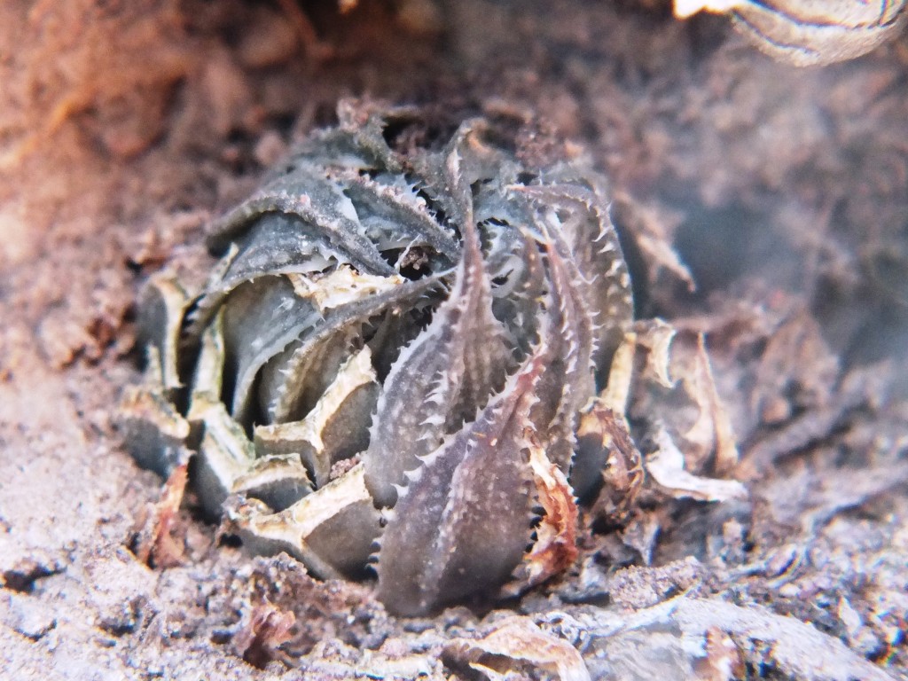
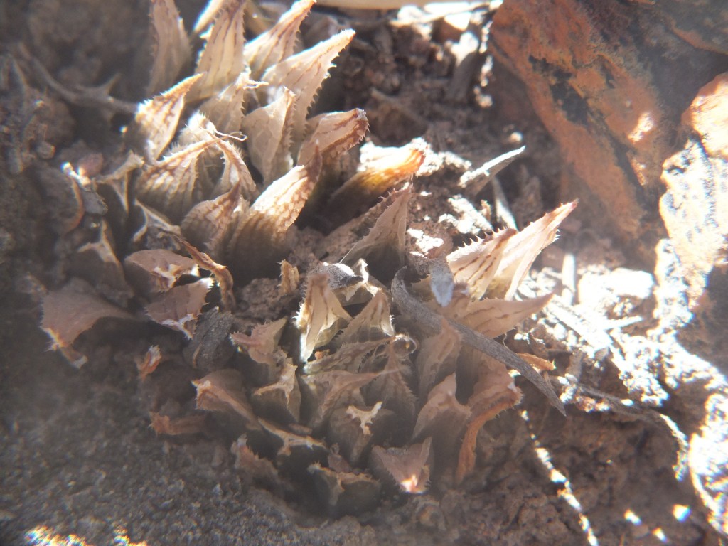
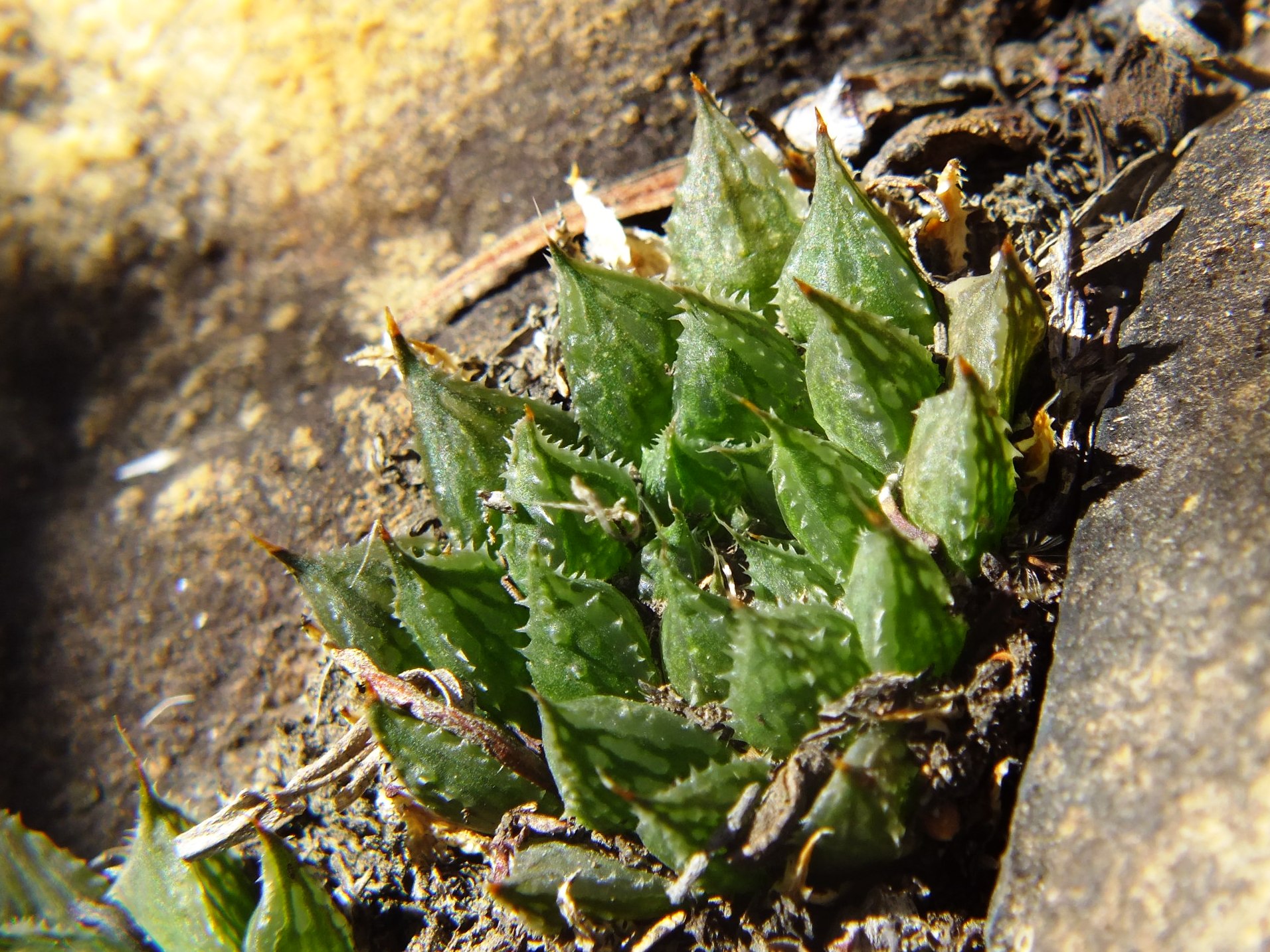
Set 3. Map point 5. Figs. 3.1 to 3.34 MBB7066 H. maculata, Lemoenpoort.
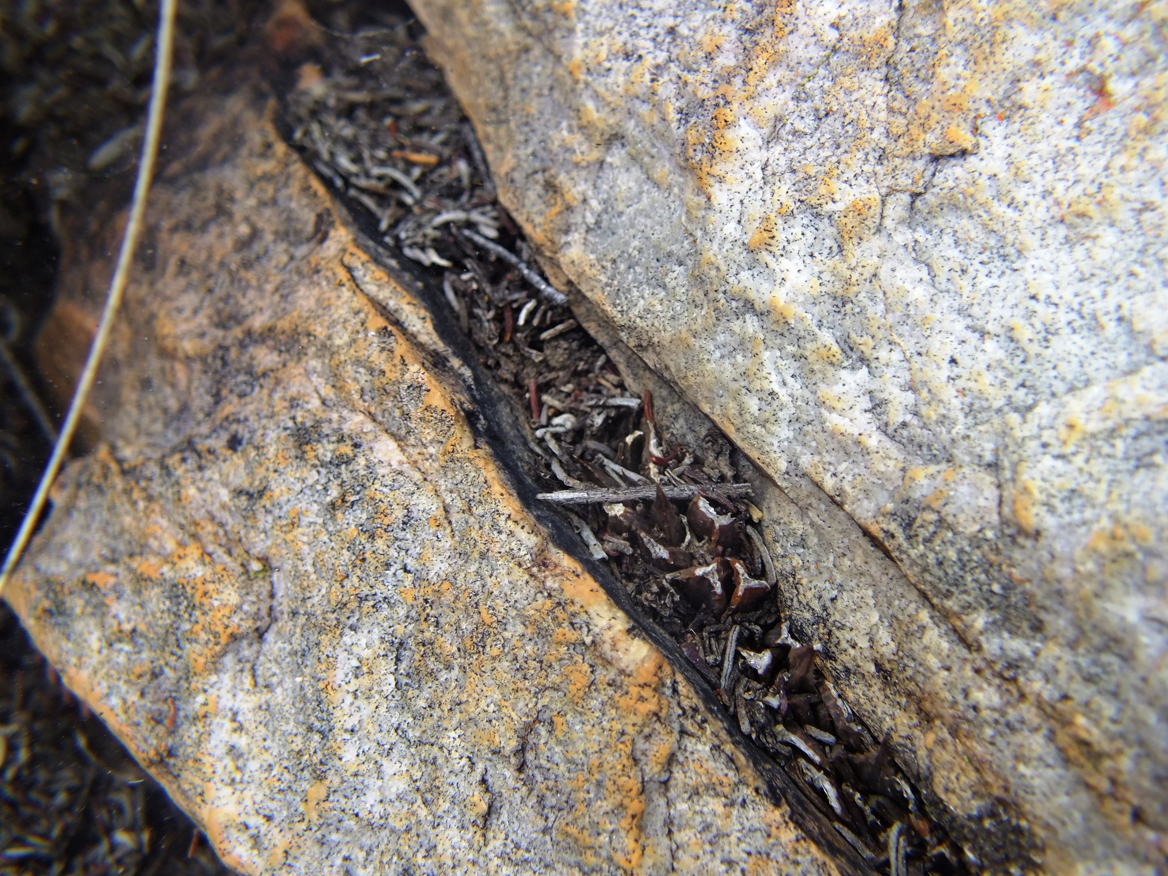
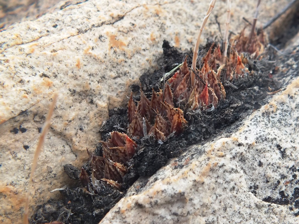
This is the type locality (i.e. MBB1128, W. Lemoenpoort) for H. maculata var. livida that I think is largely untenable or unnecessary fragmentation. Lemoenpoort is the valley that separates Hammansberg from Ouhangsberg. The first few plants seen were in exposed situations and had the purplish or bluish-grey colour that prompted the Latin name. This was maintained in cultivation. I linked it at the time to H. pubescens that seemed more probable at the time than to H. maculata and then simply because of the perceived demands of a relatively inflexible nomenclatural system. There are now seven new populations that contribute and improve understanding of H. maculata as a species. All these localities are in Witteberg Sandstone and the type locality is only slightly different in that the stratum of rock is less feldspathic (i.e. mineralized).
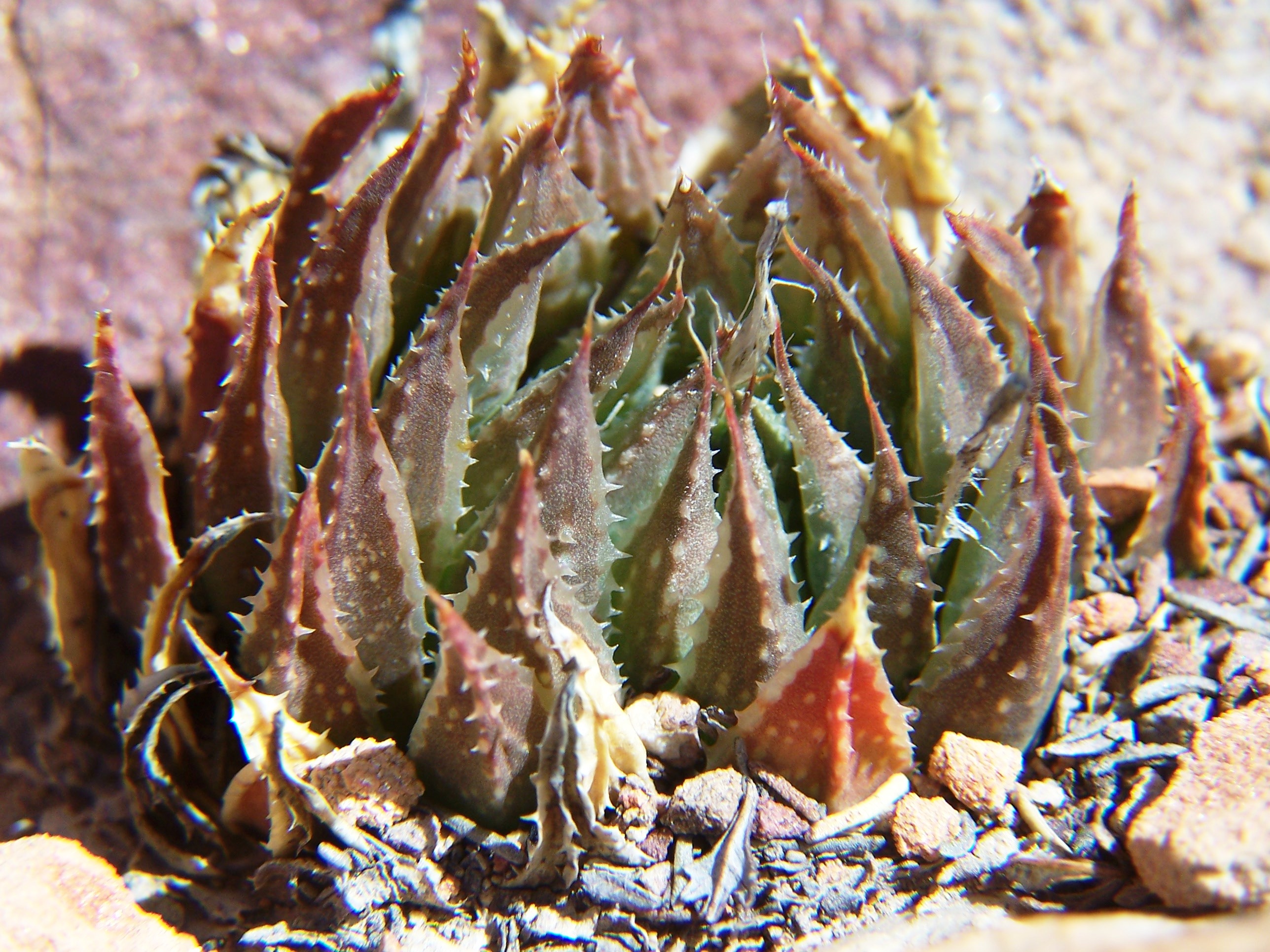
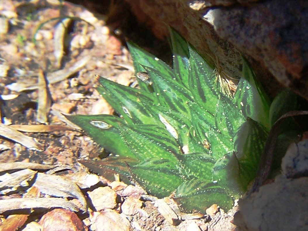
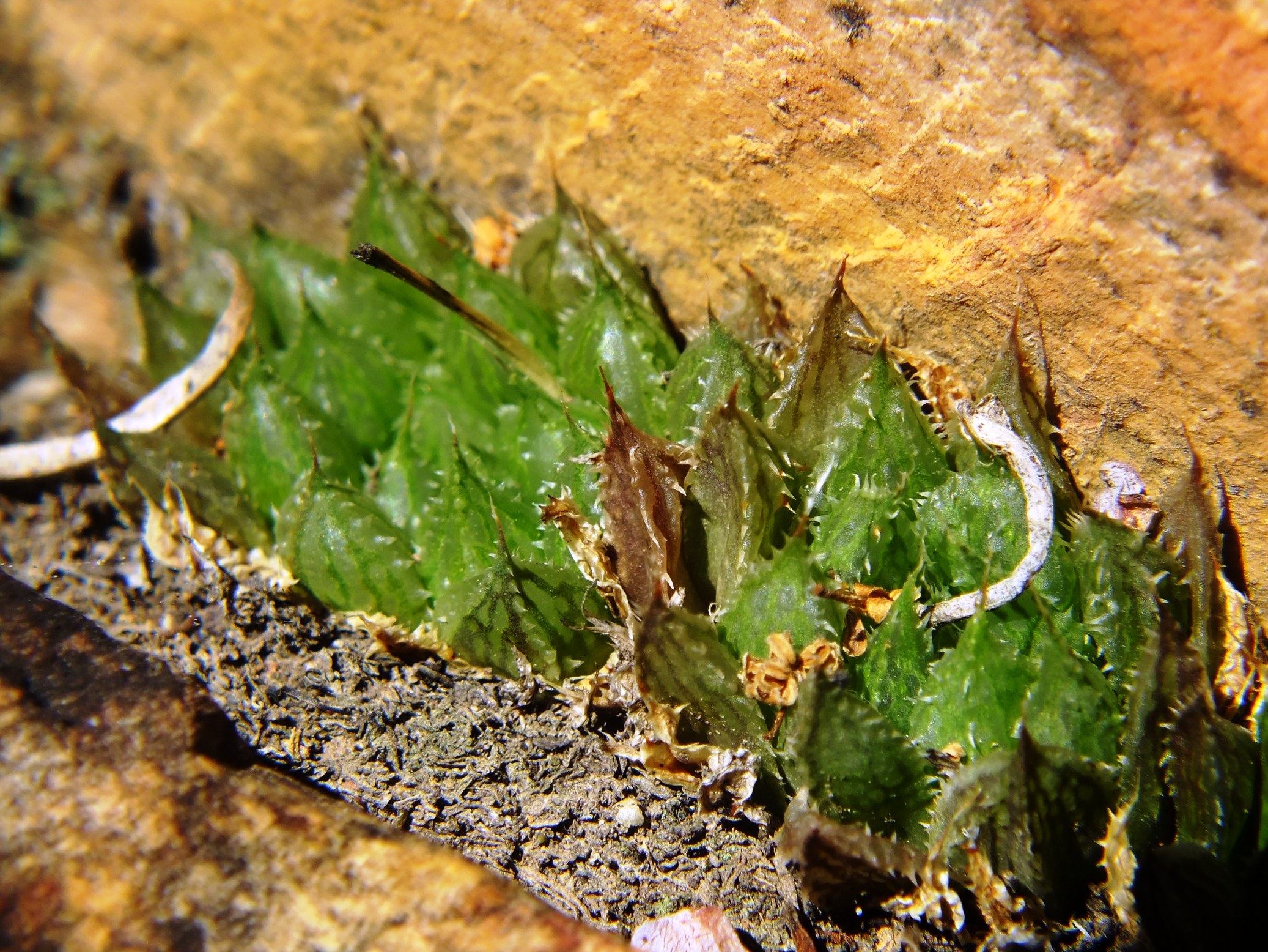
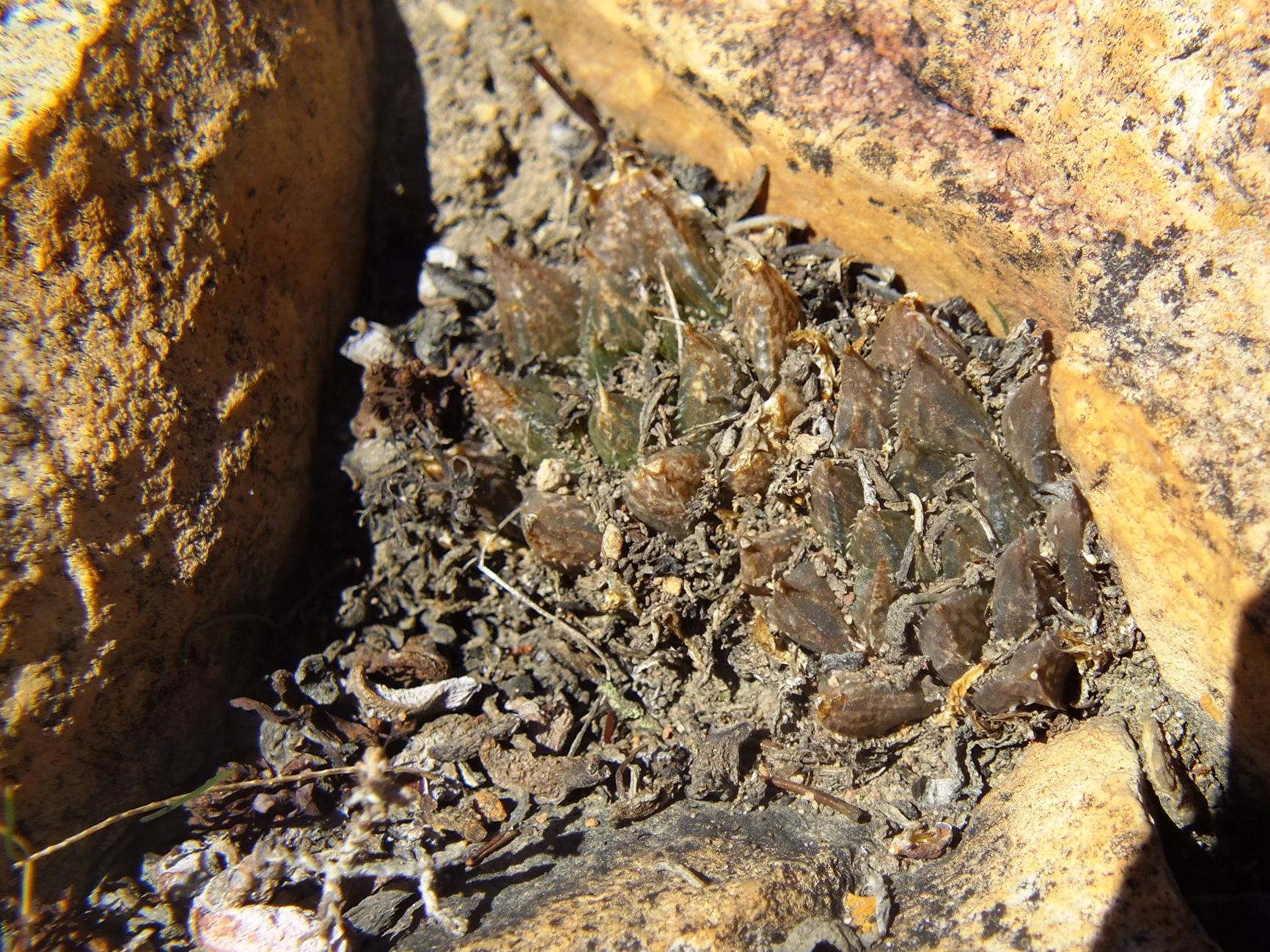
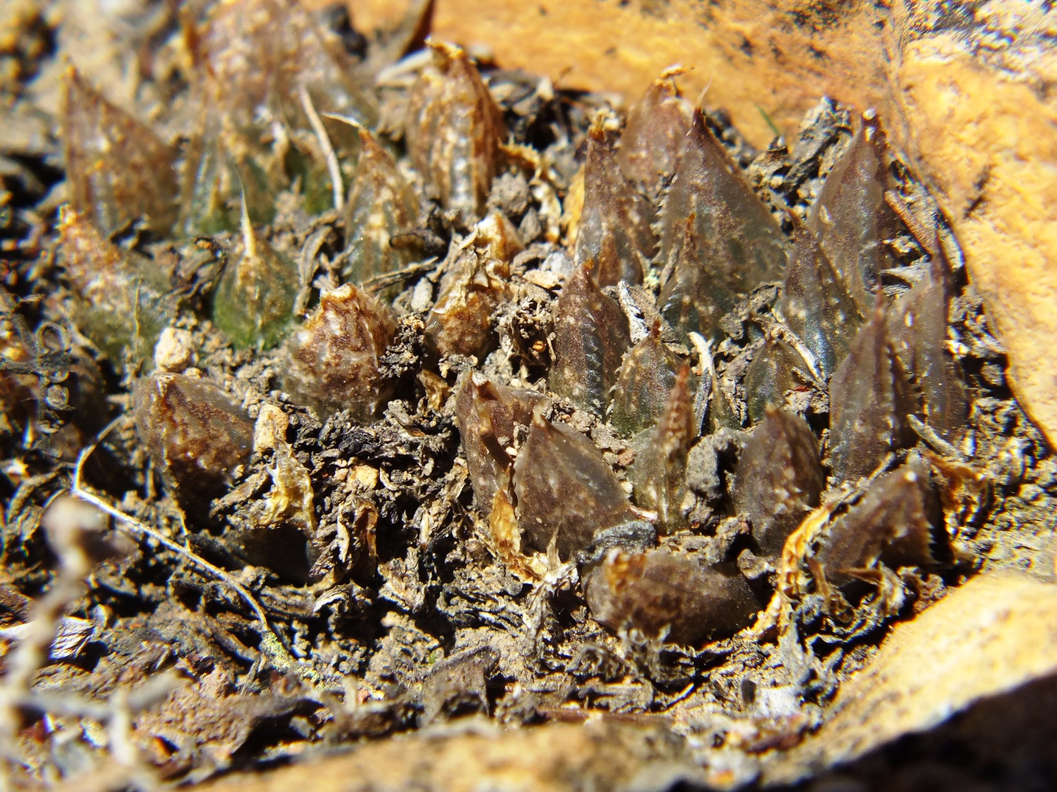
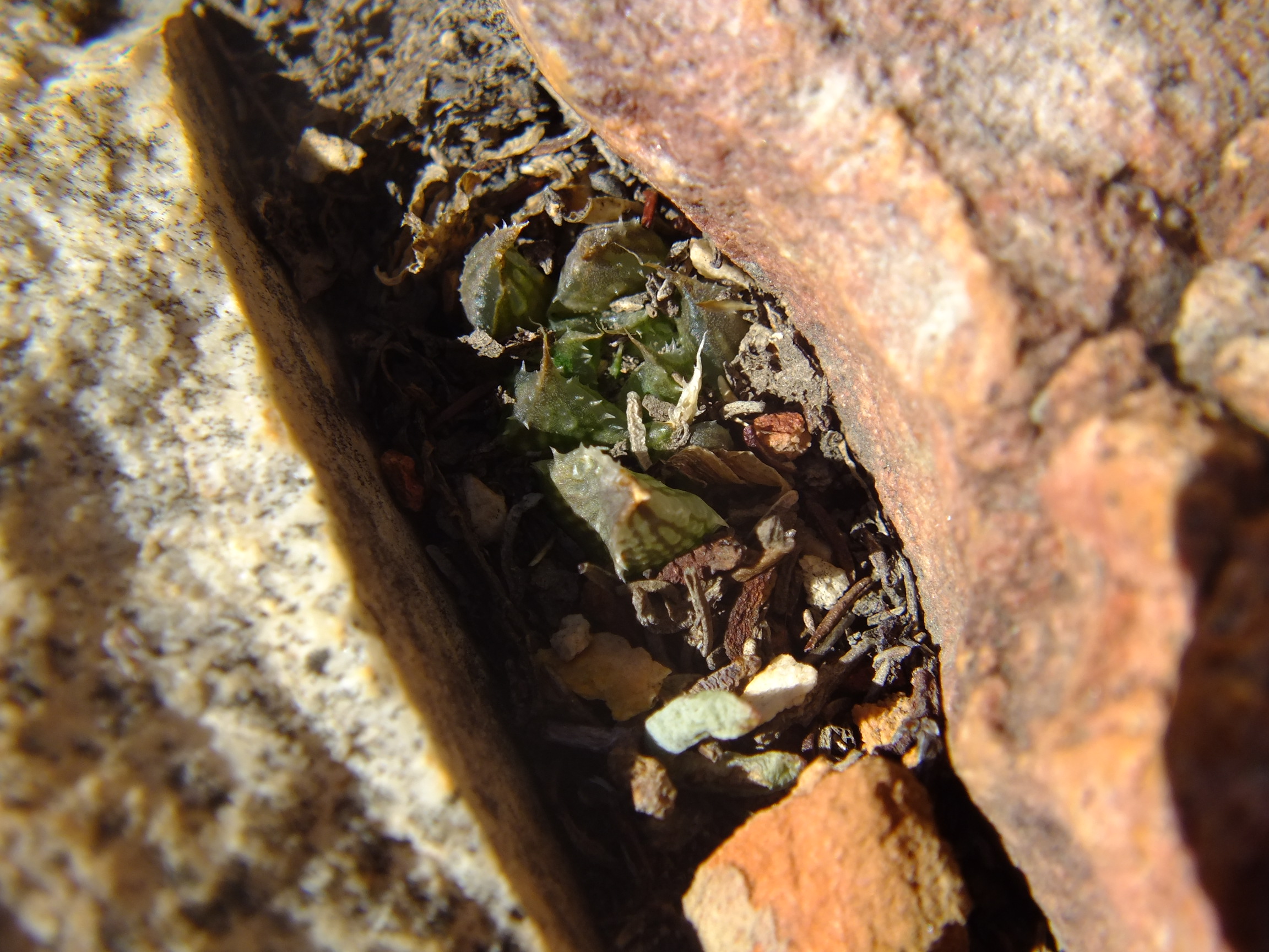
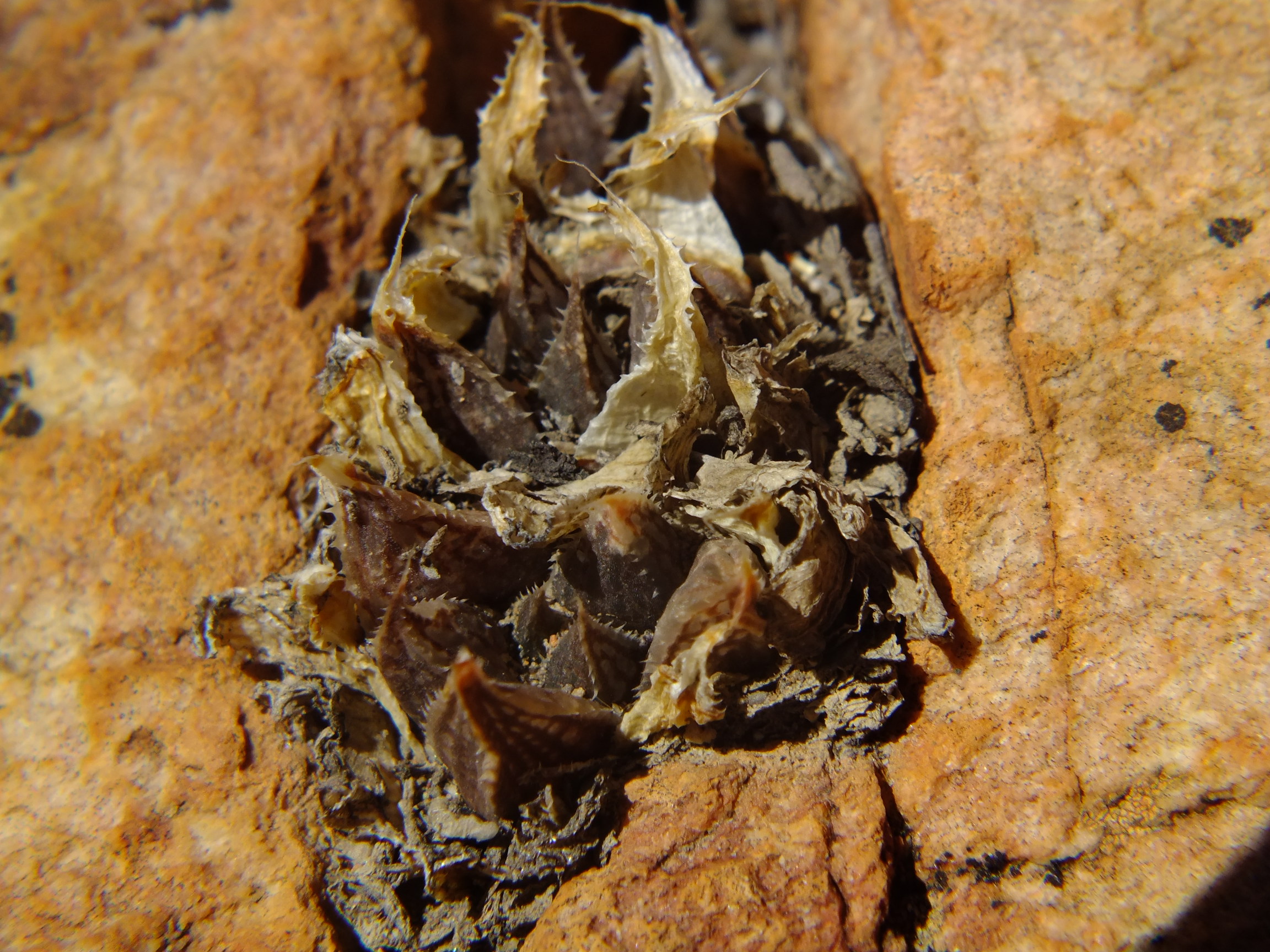
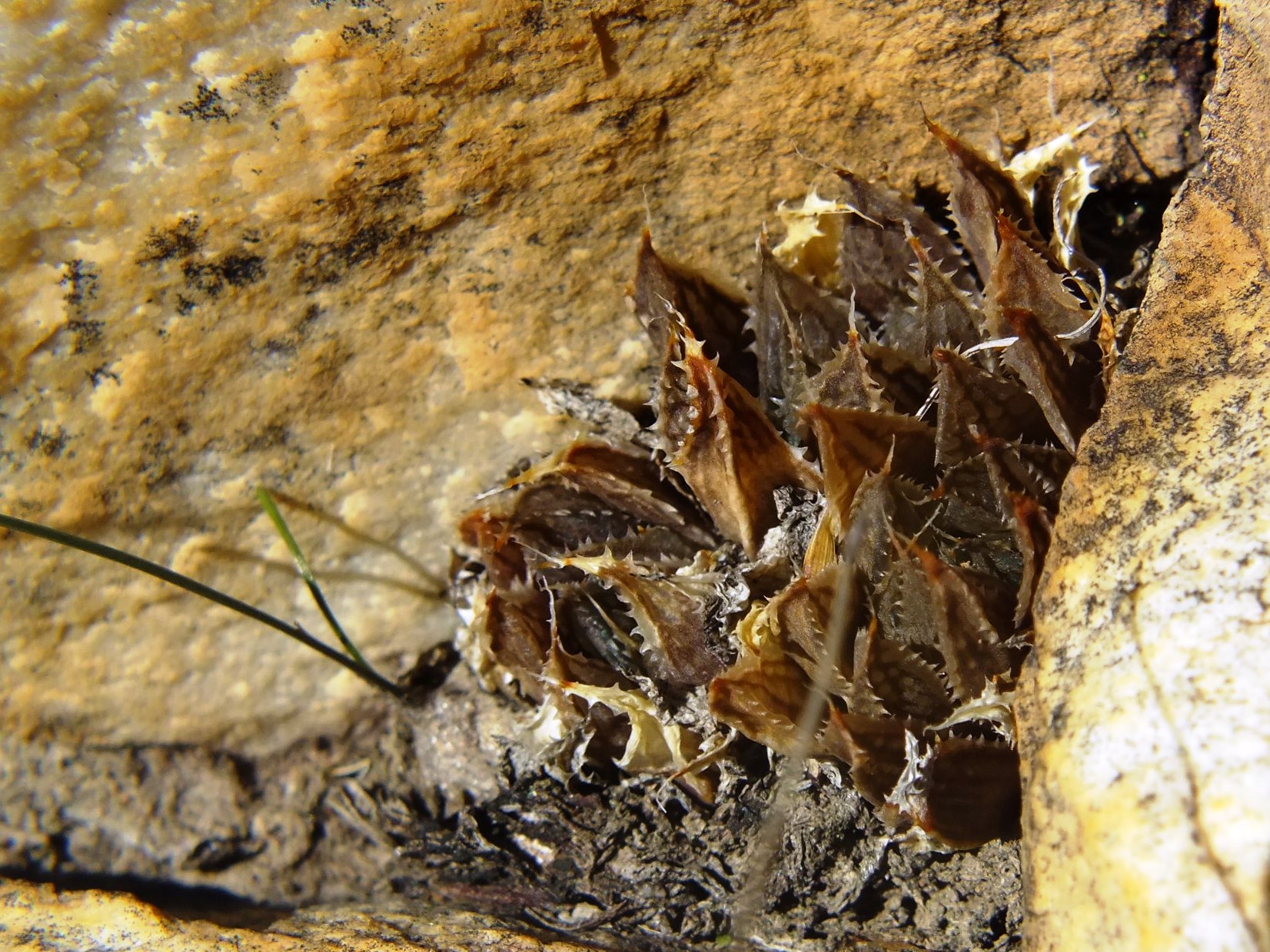
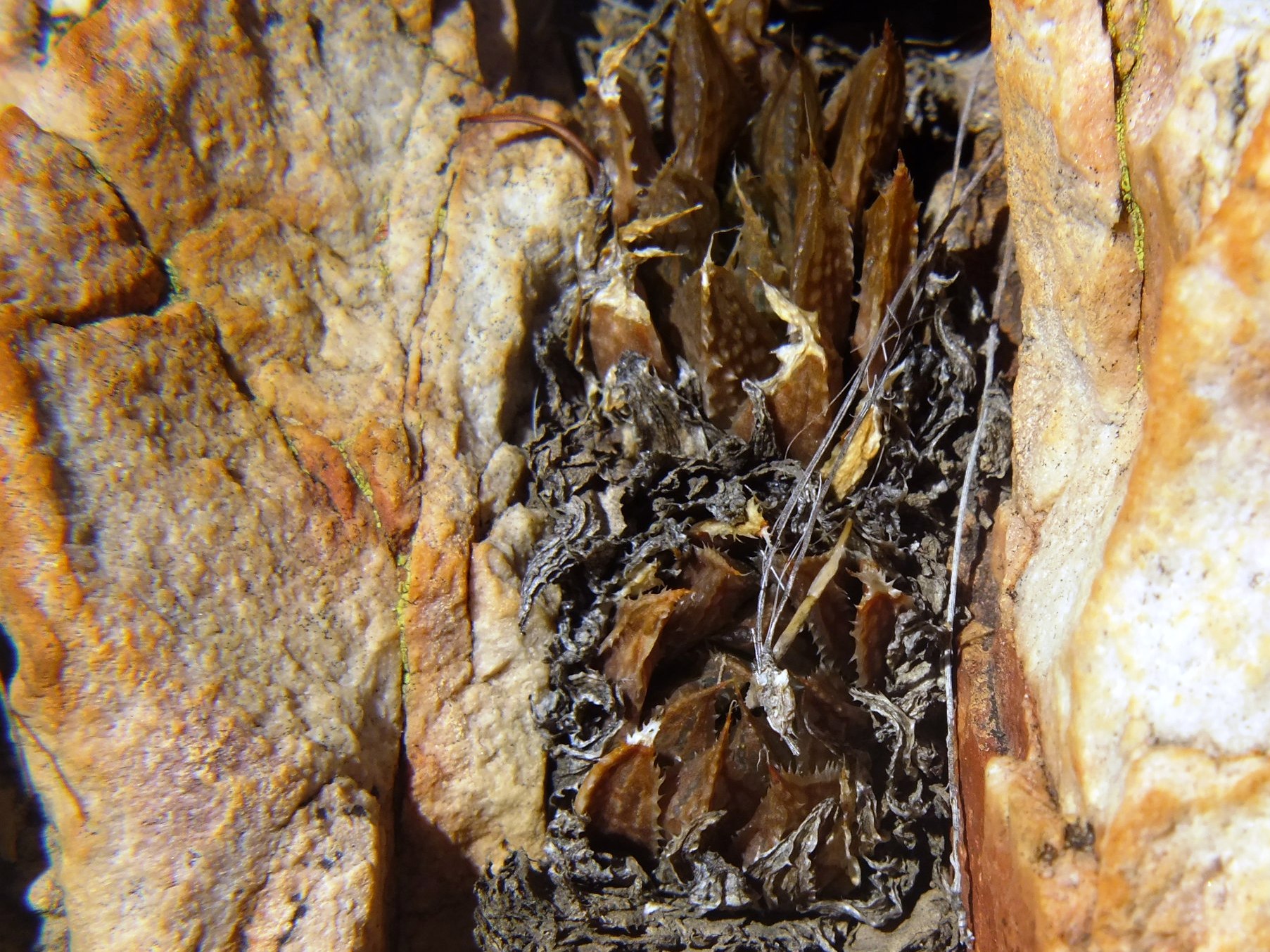
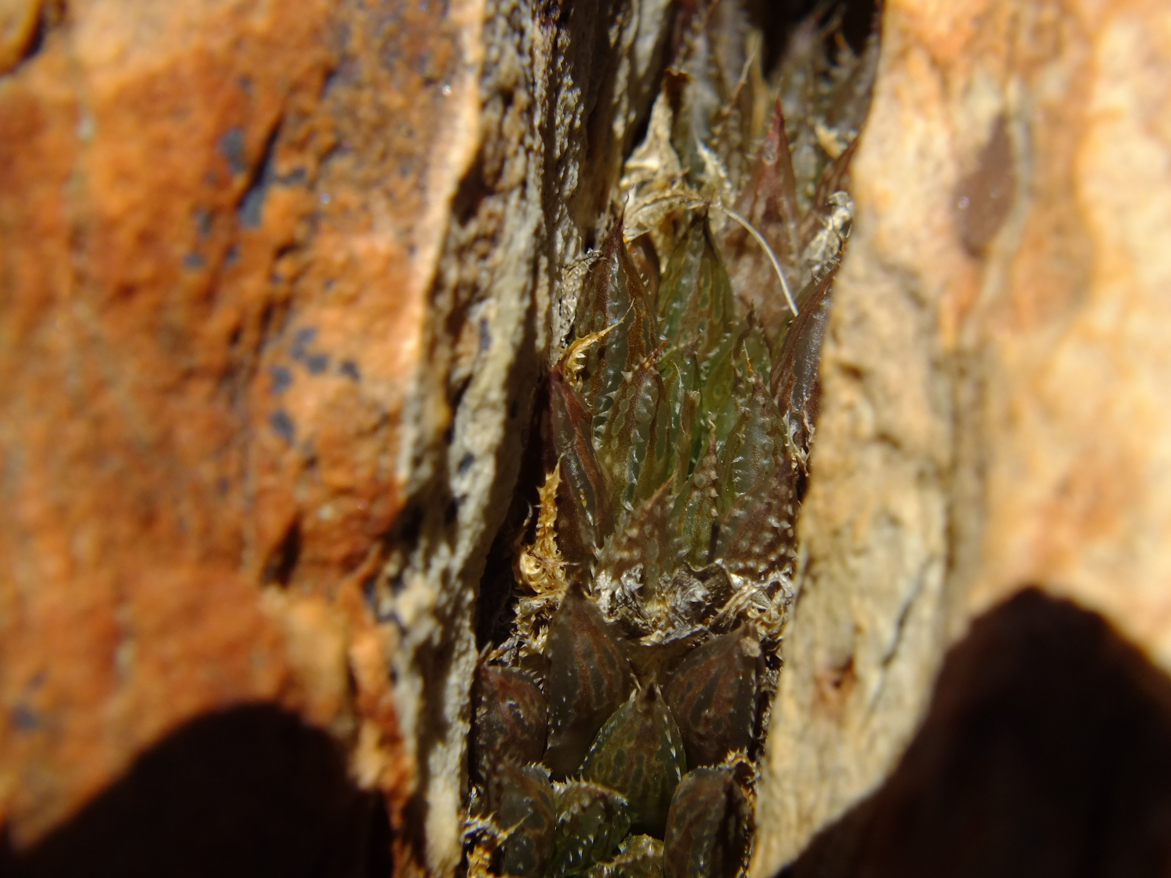
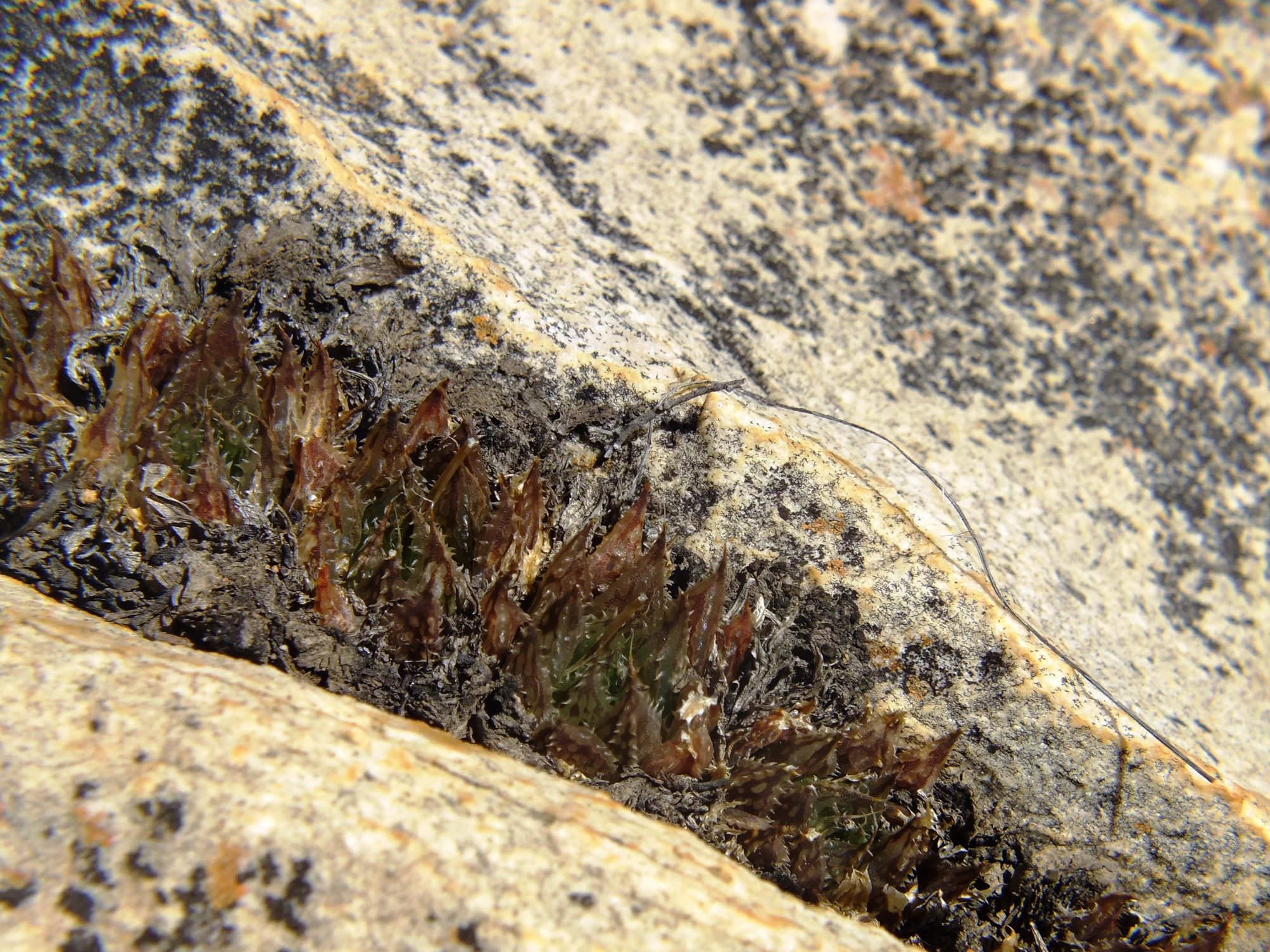
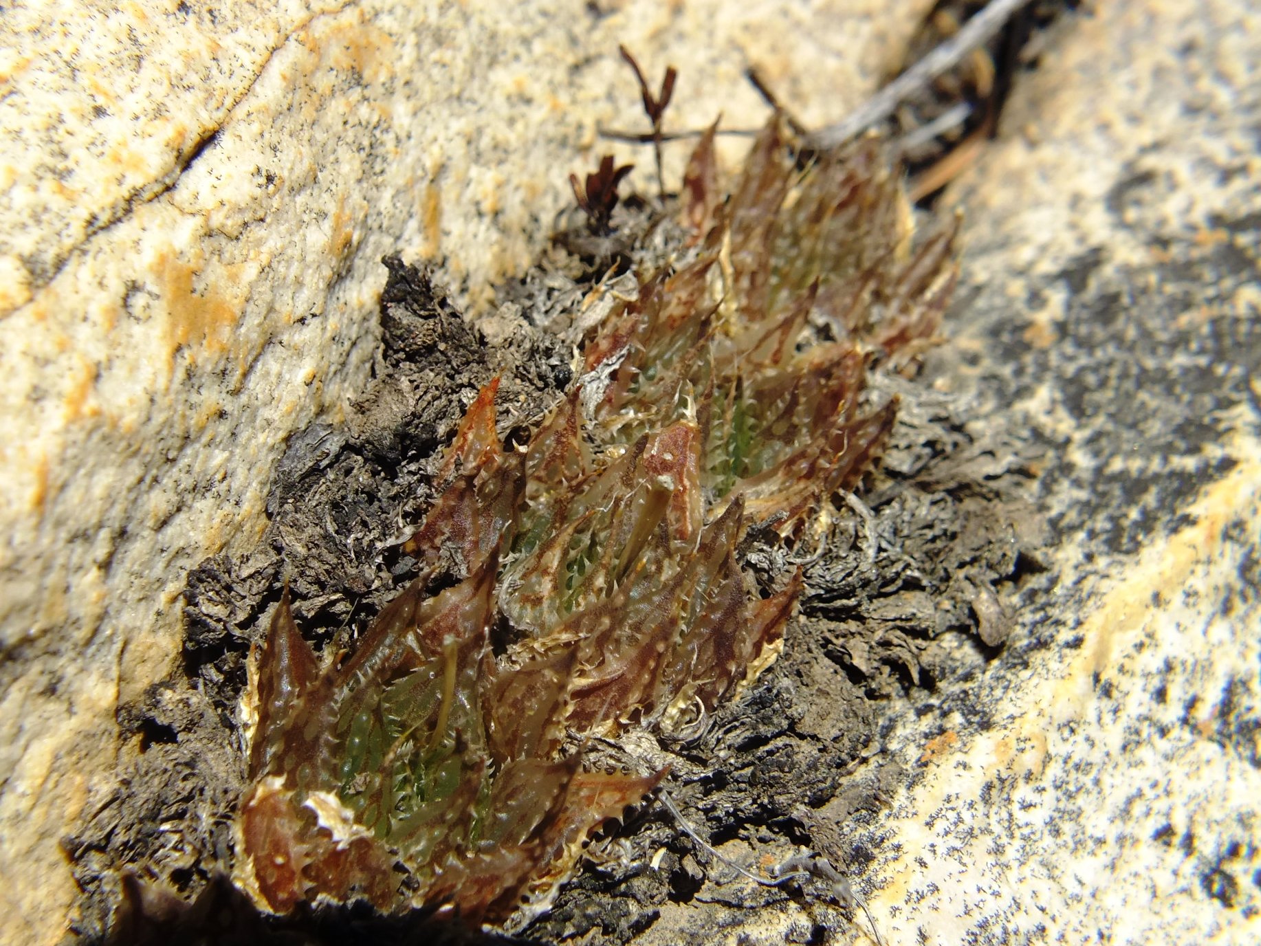
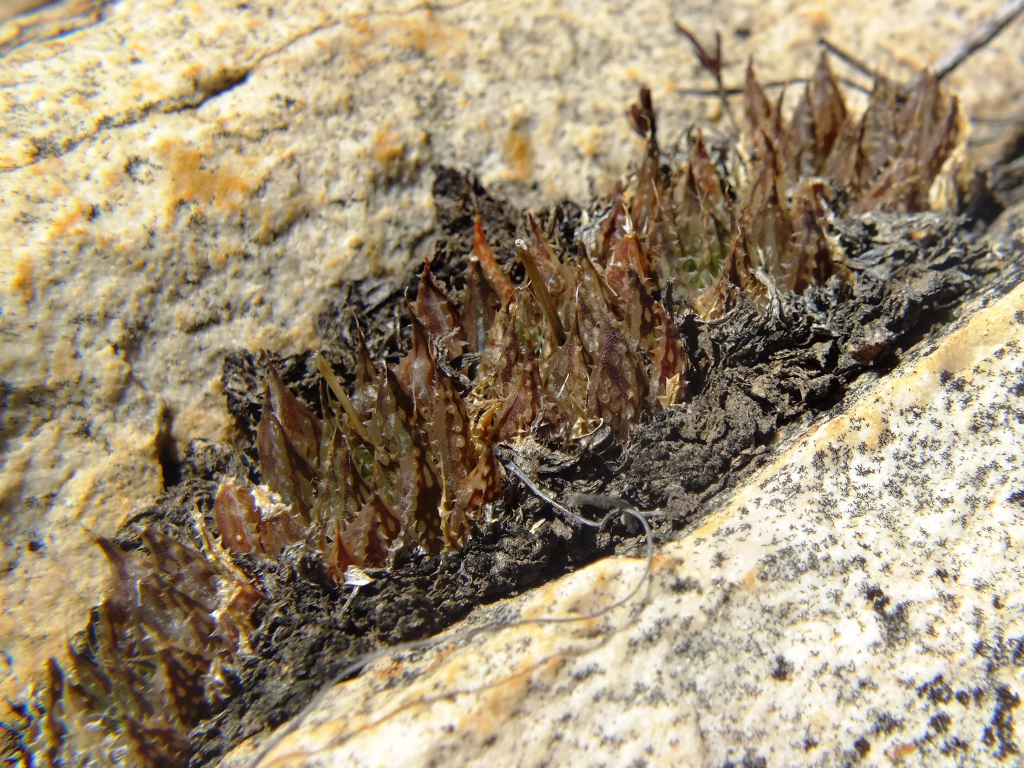
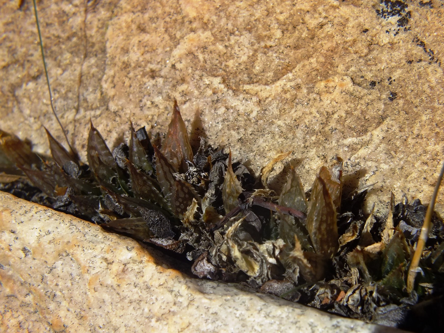
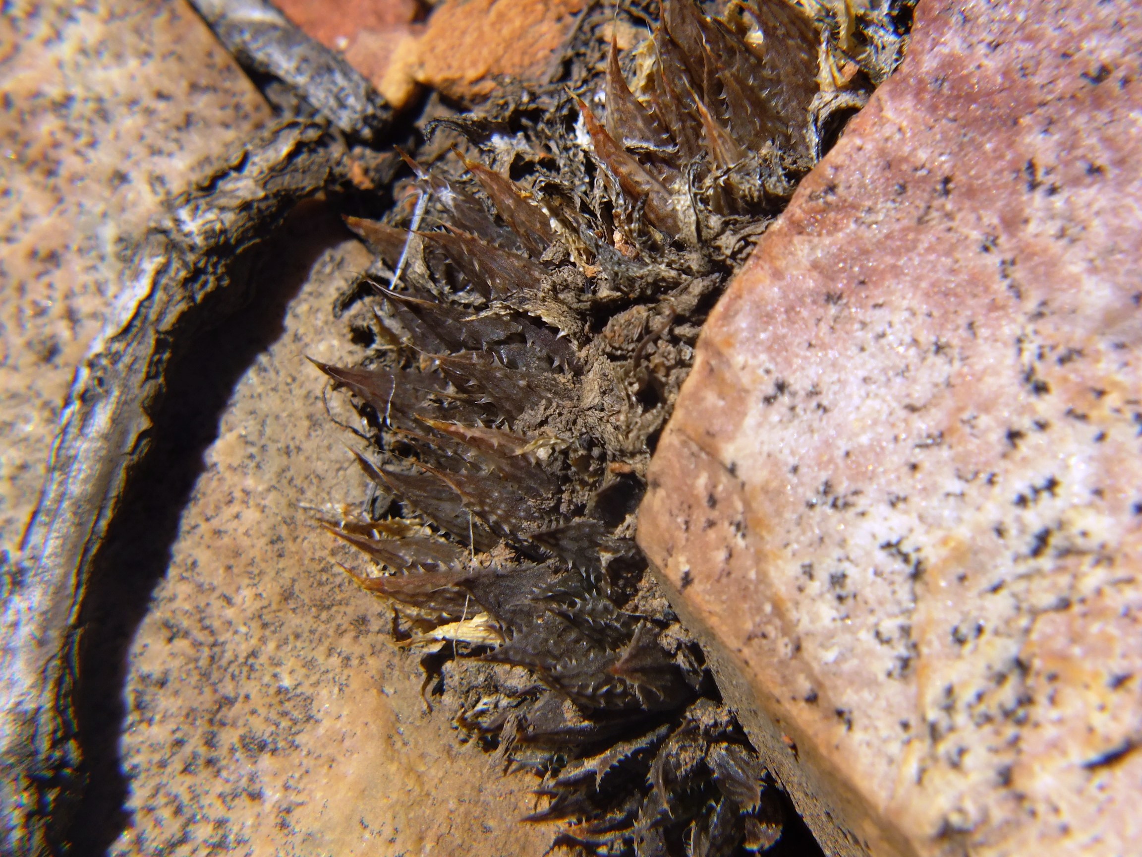
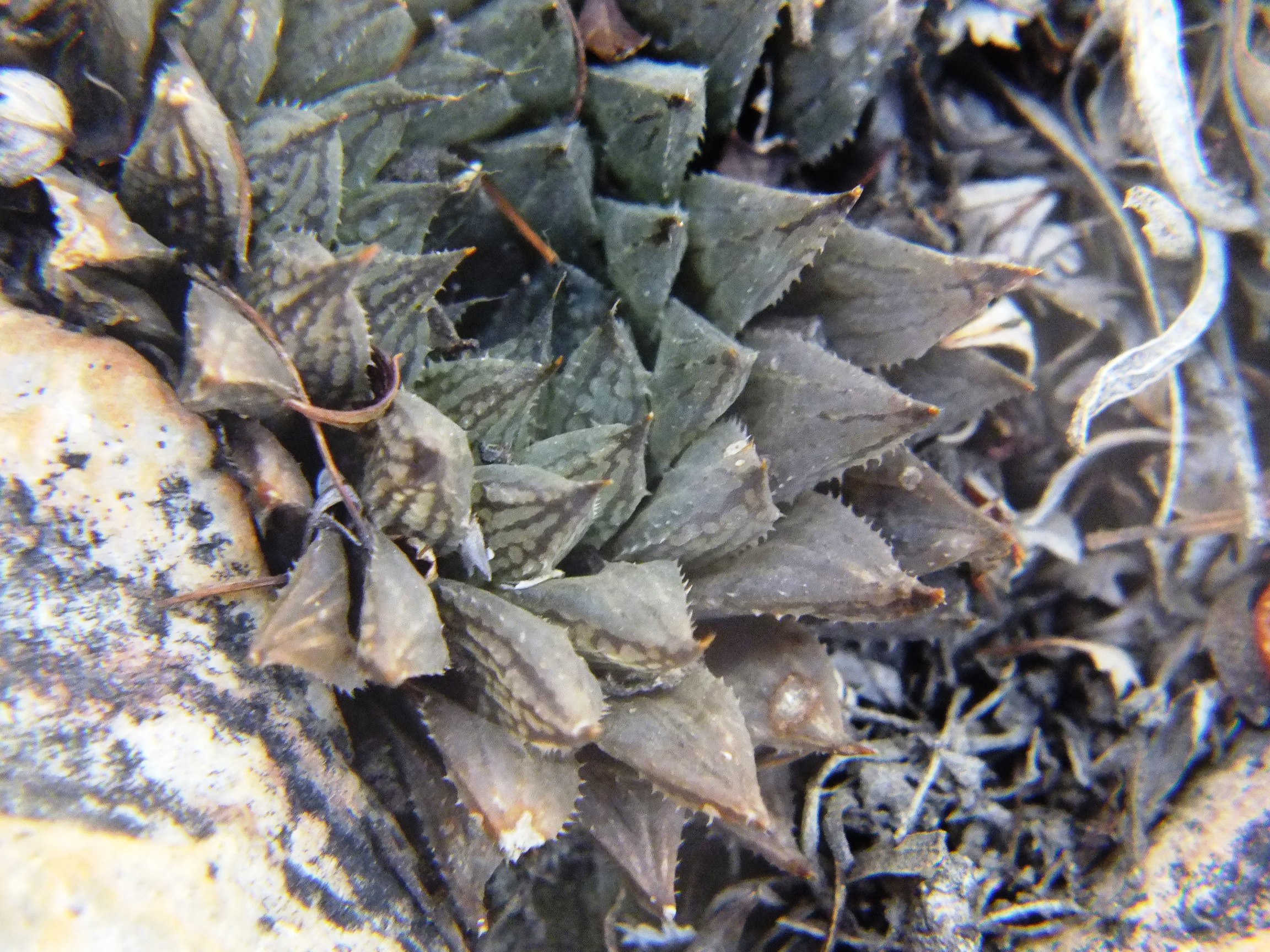
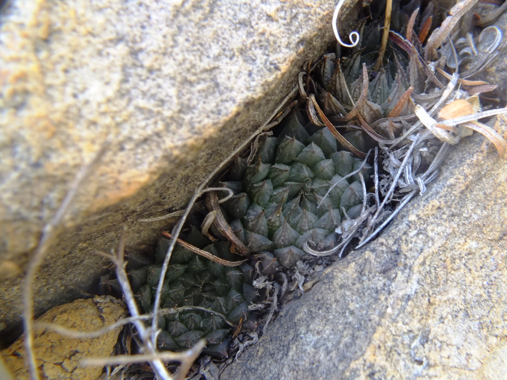
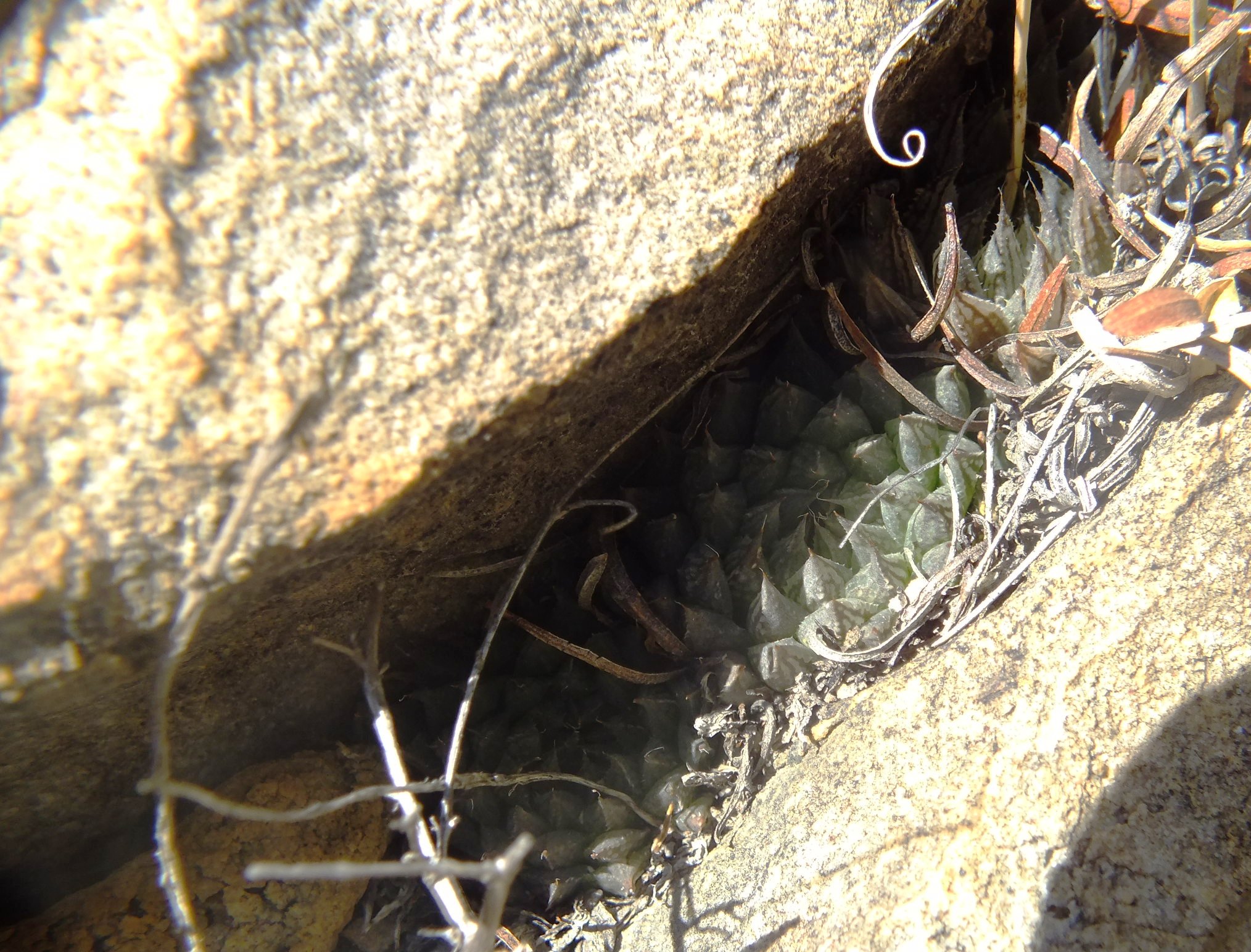
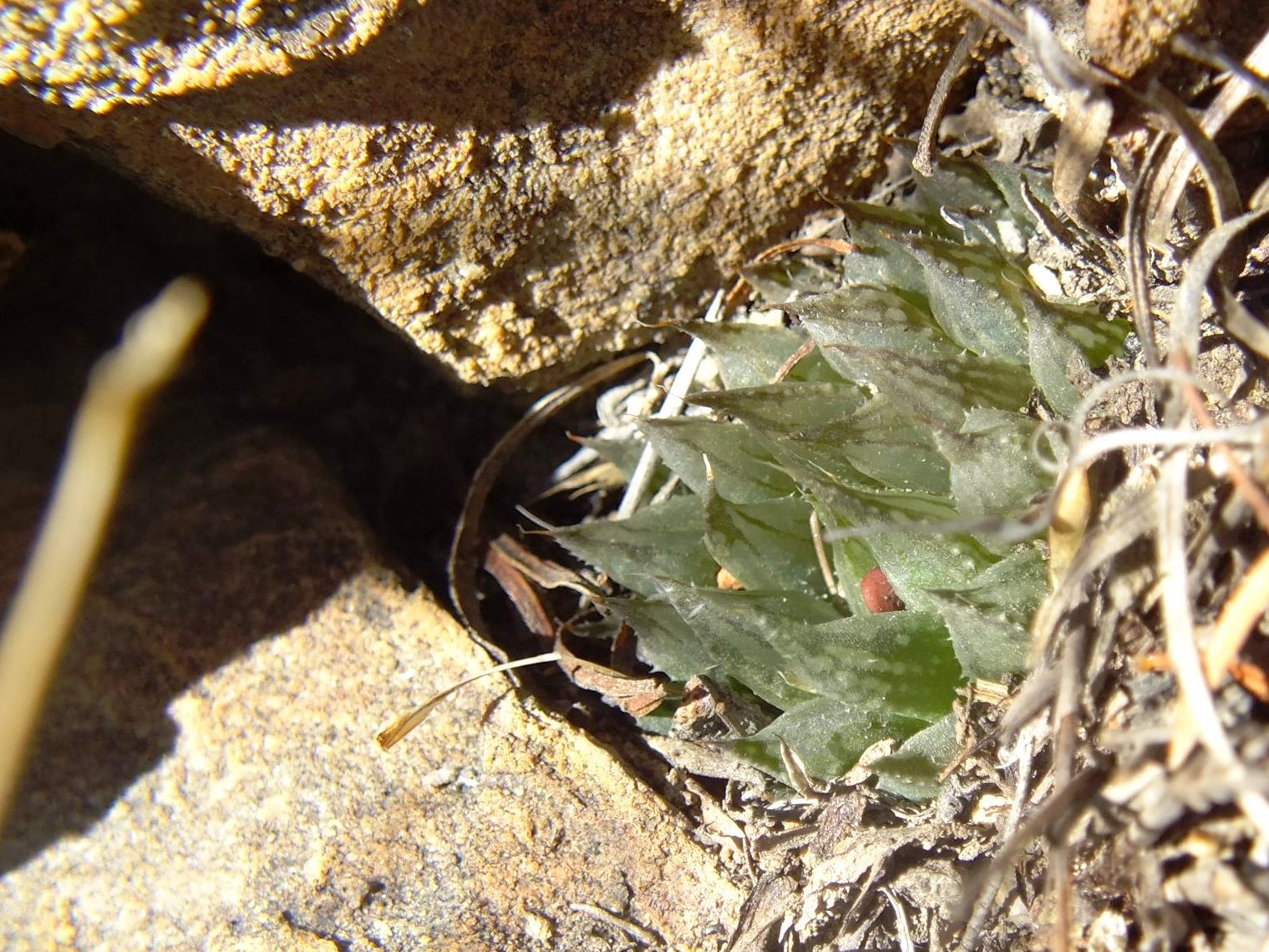
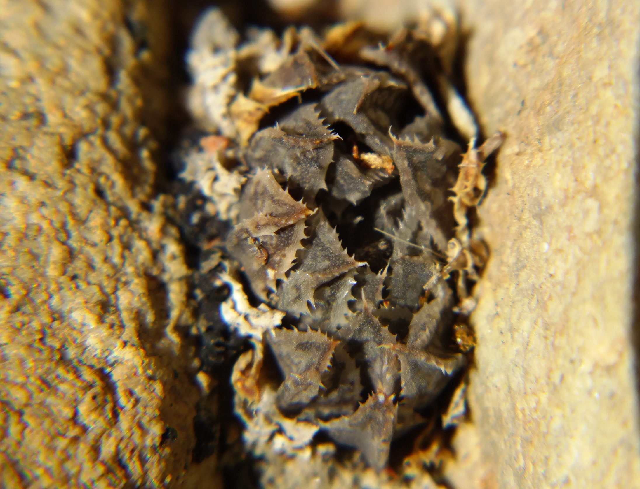
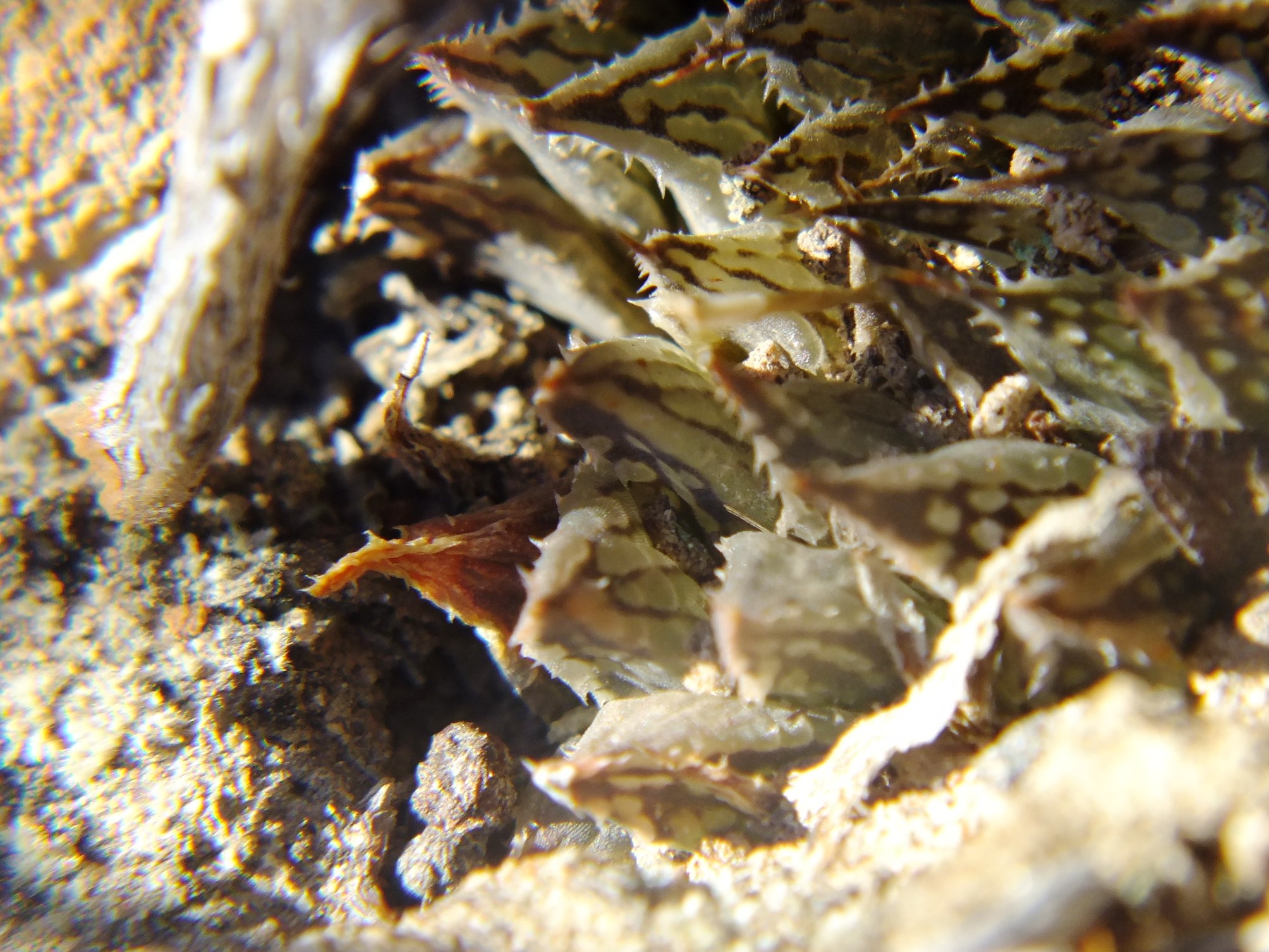
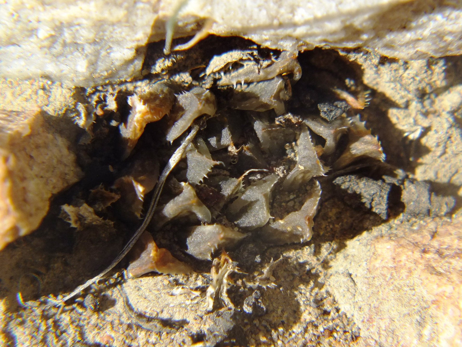
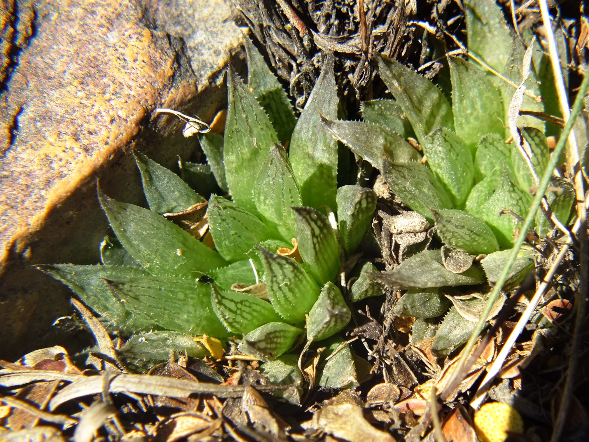
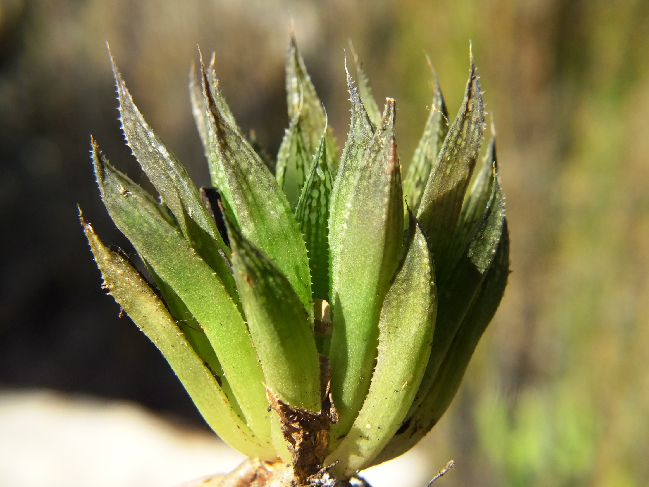
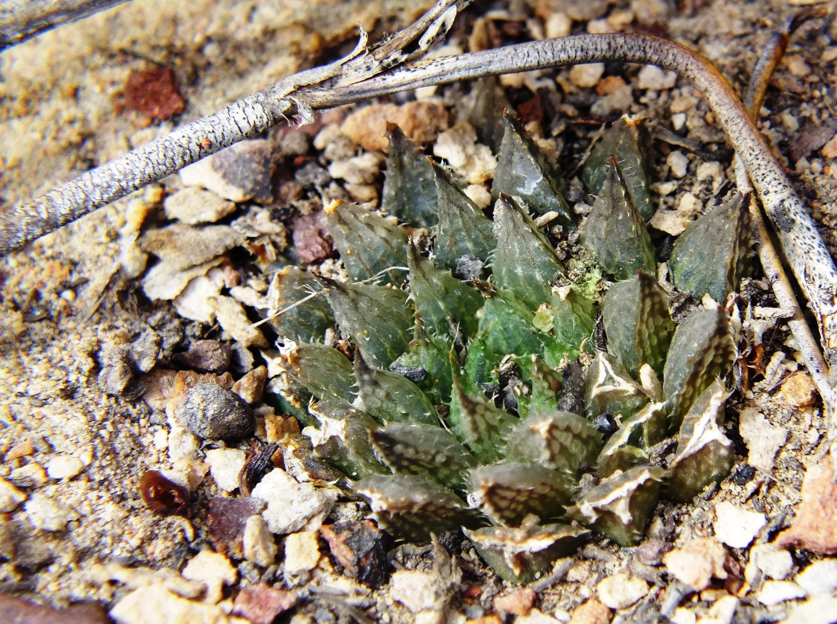
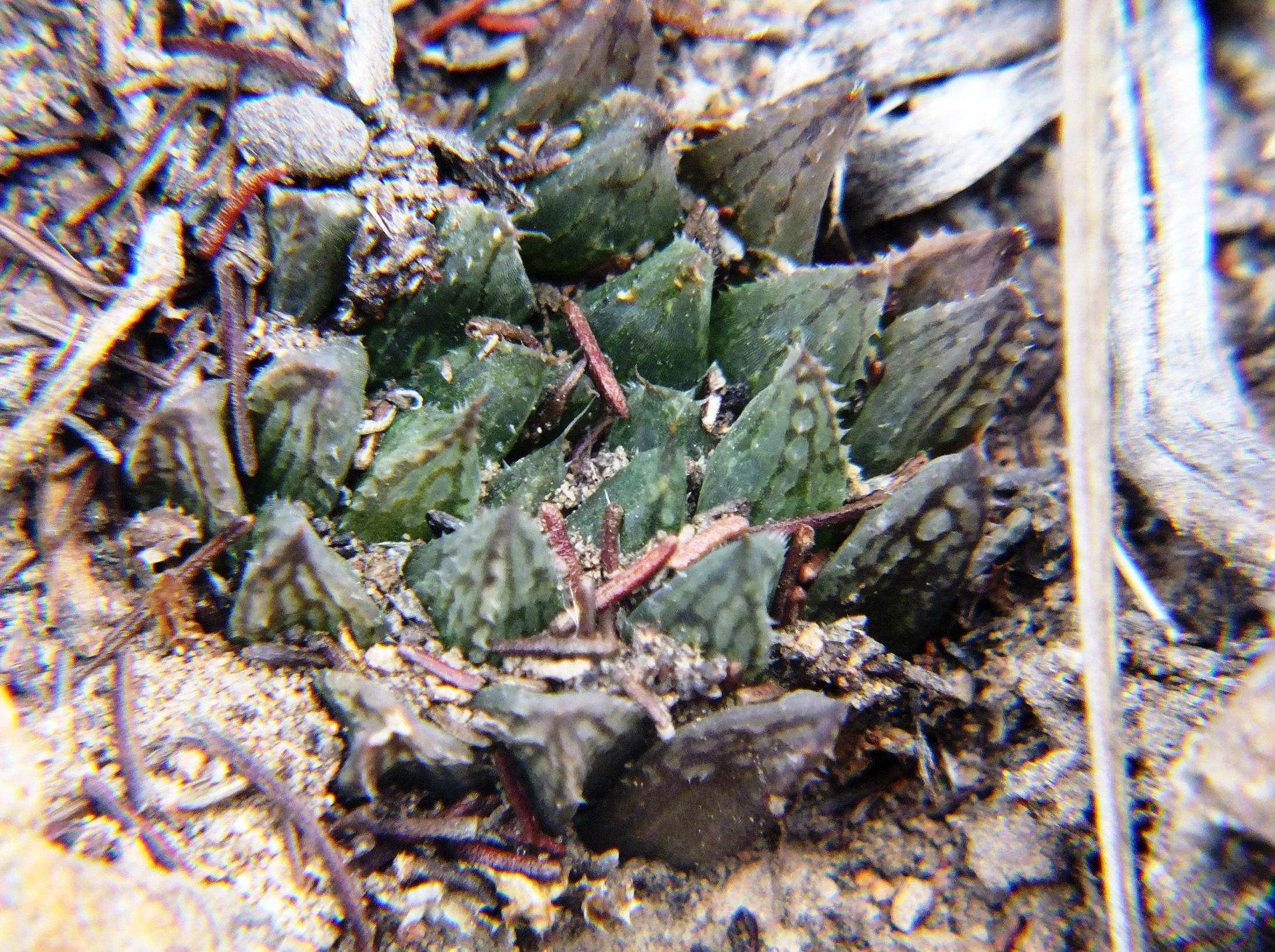
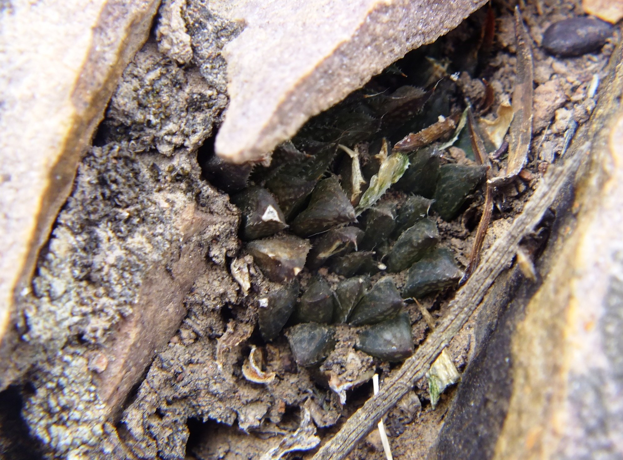
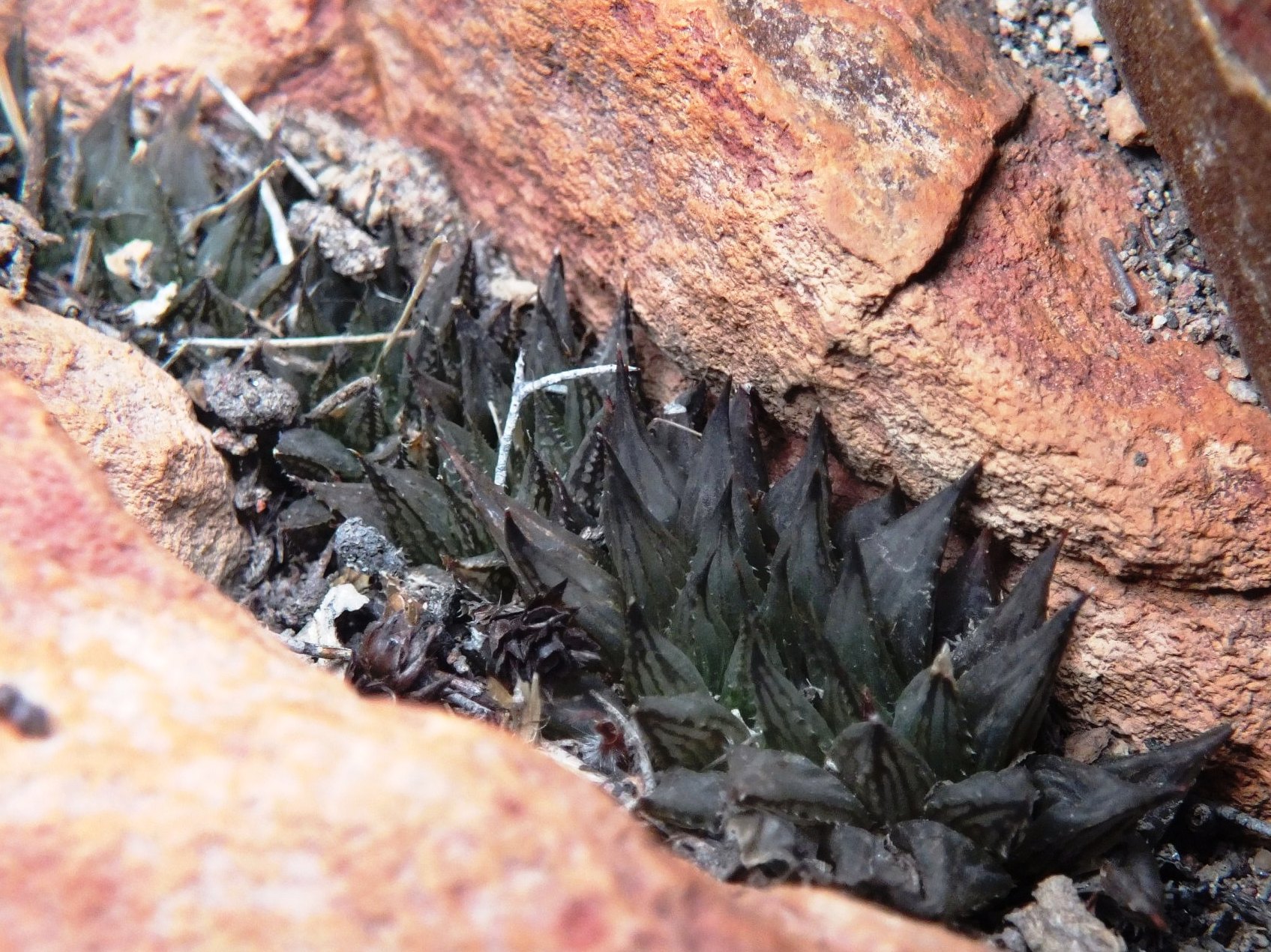
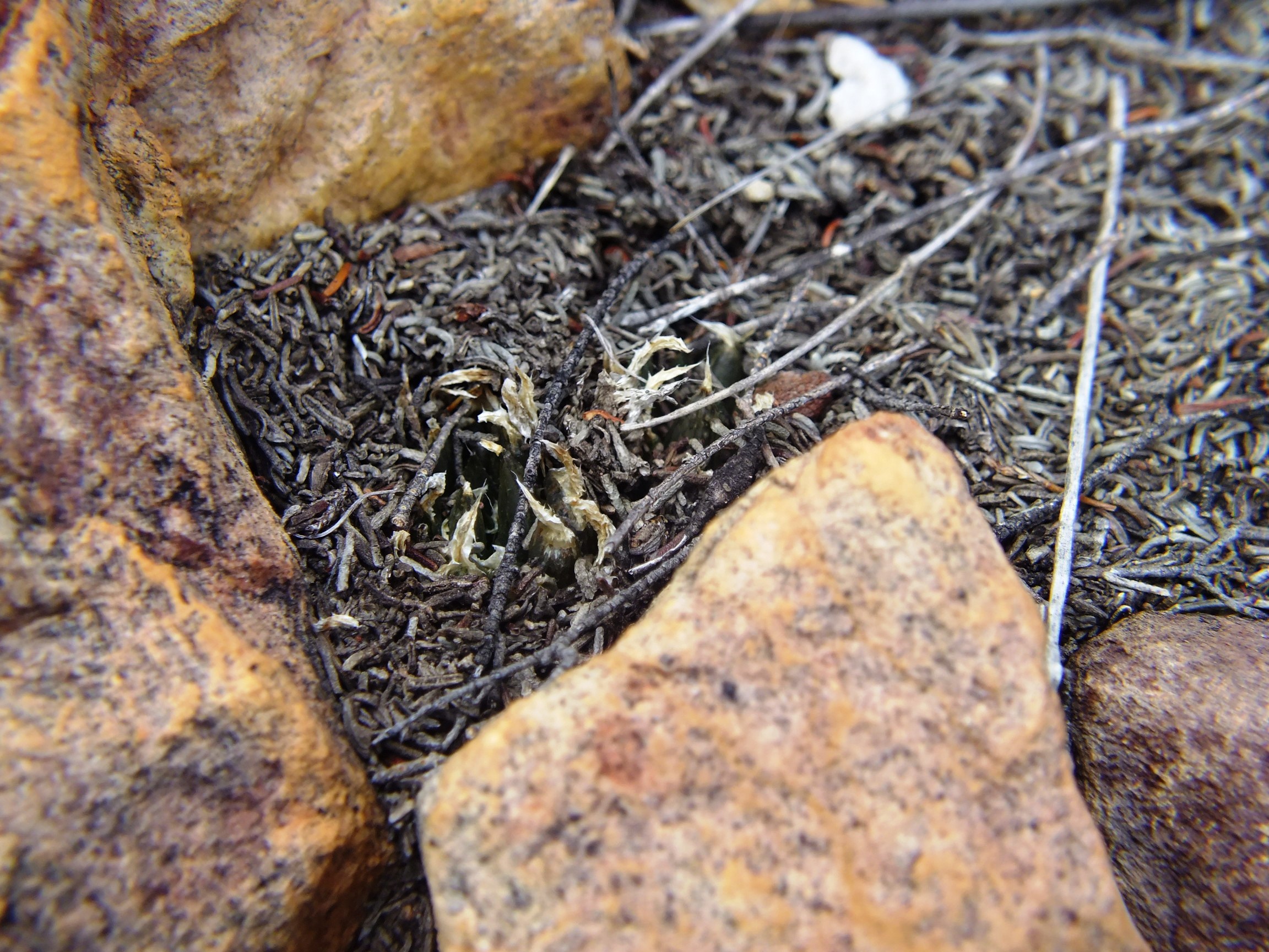
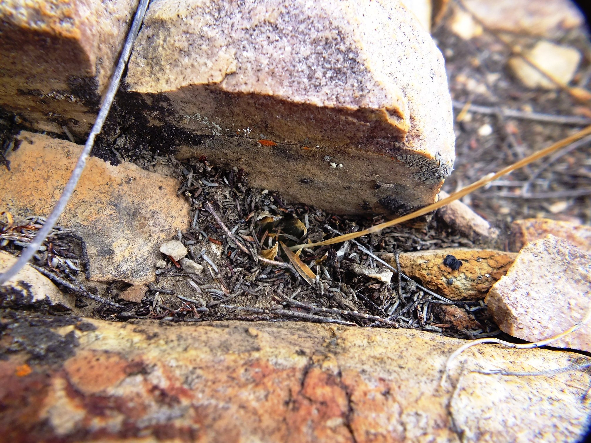
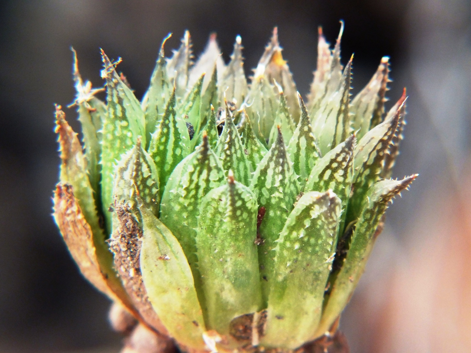
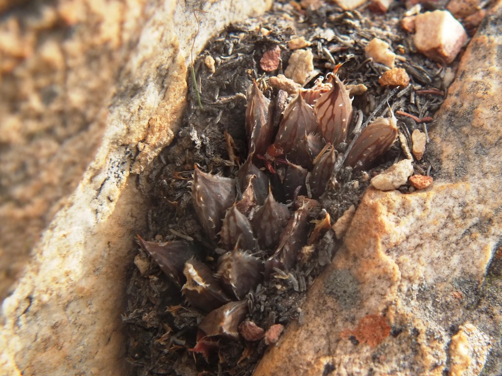
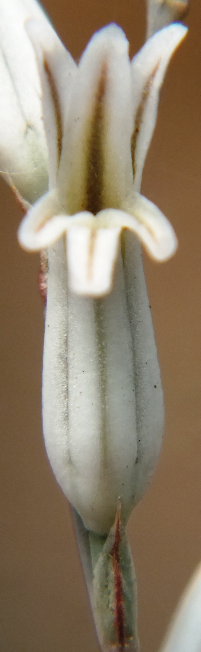
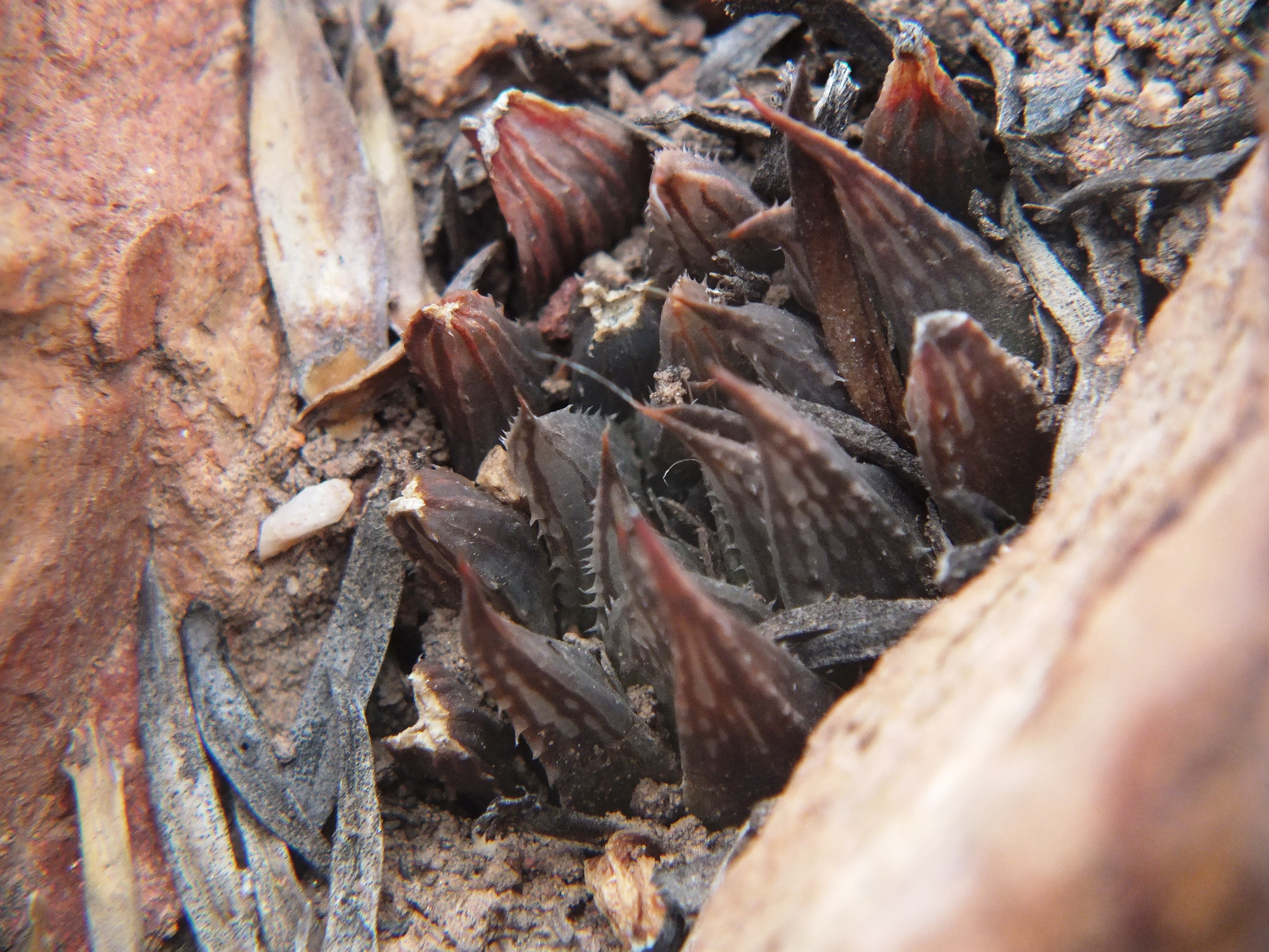
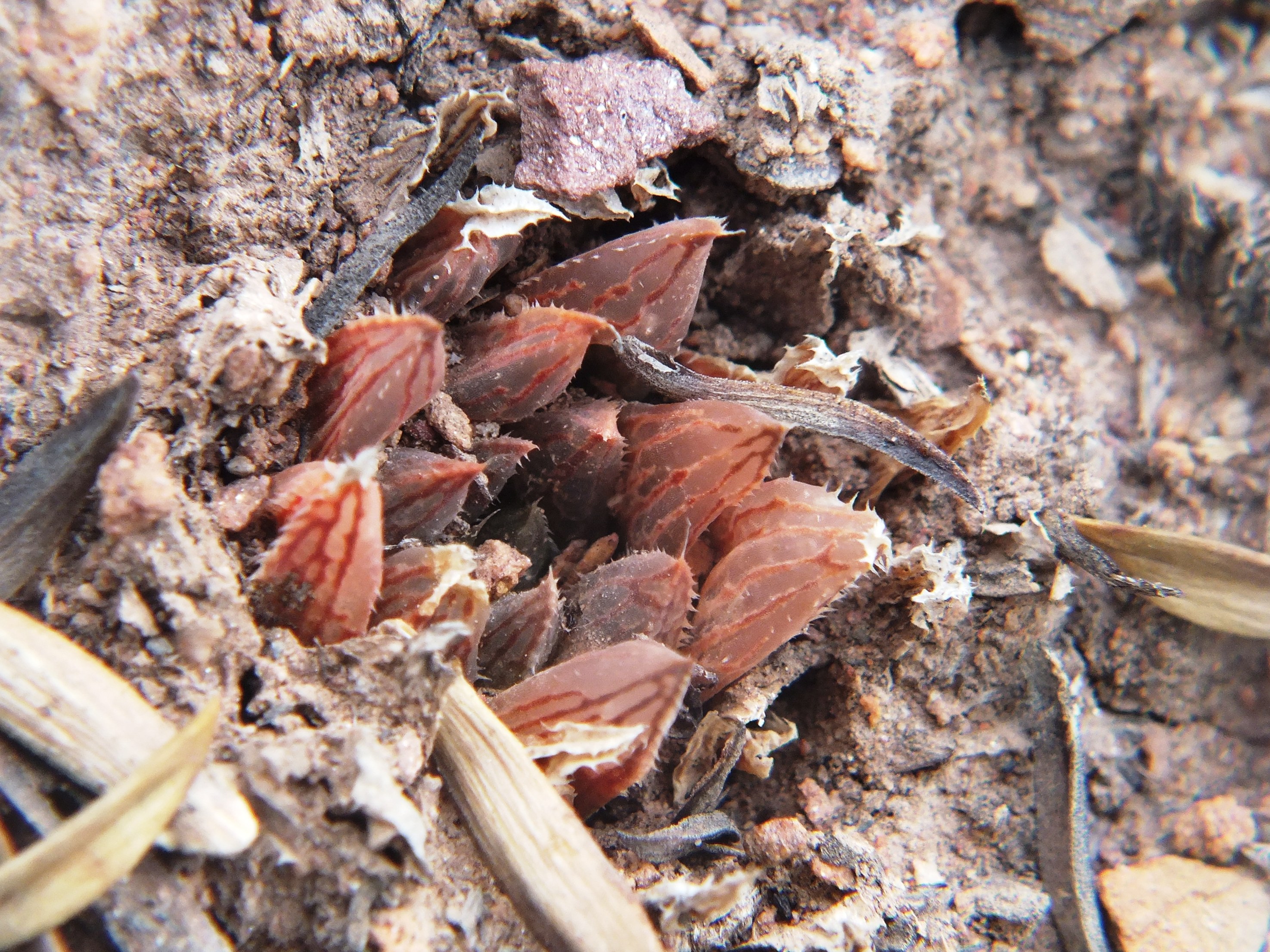
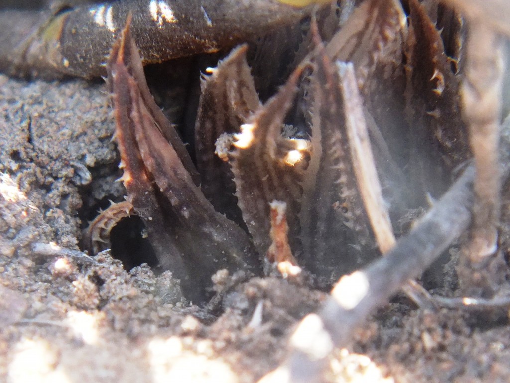
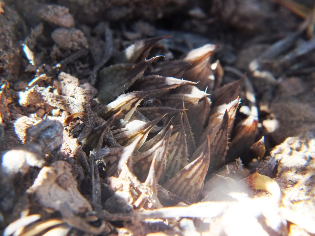
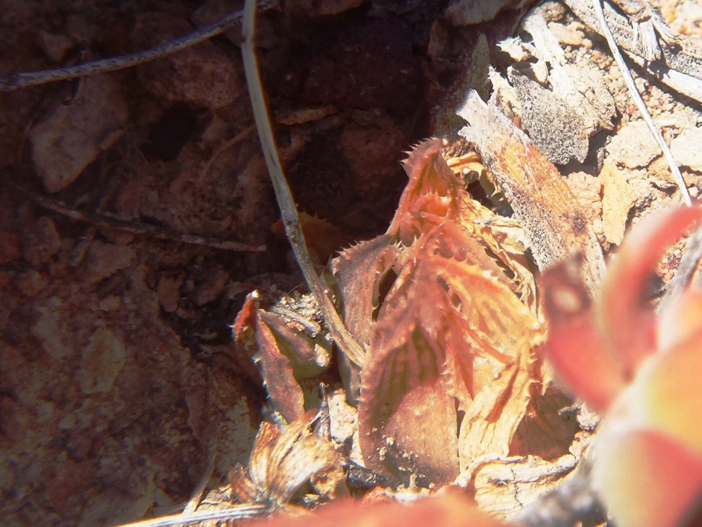
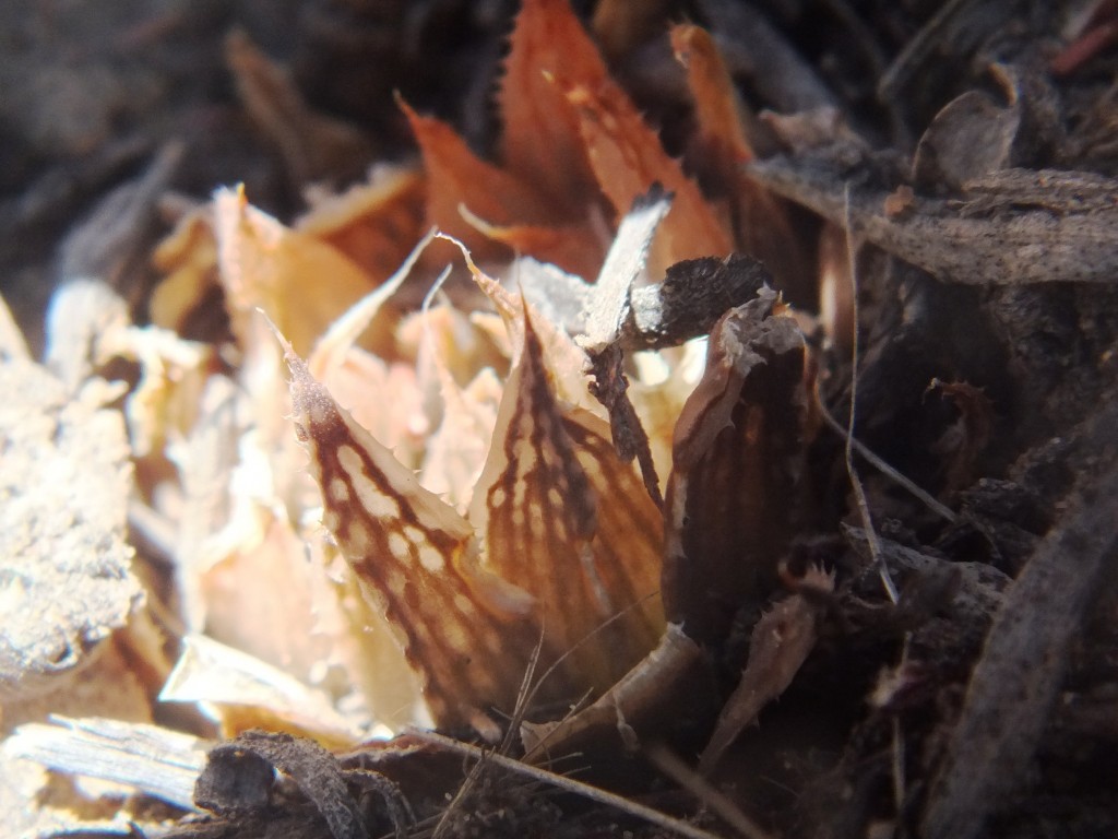
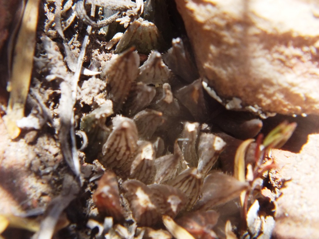
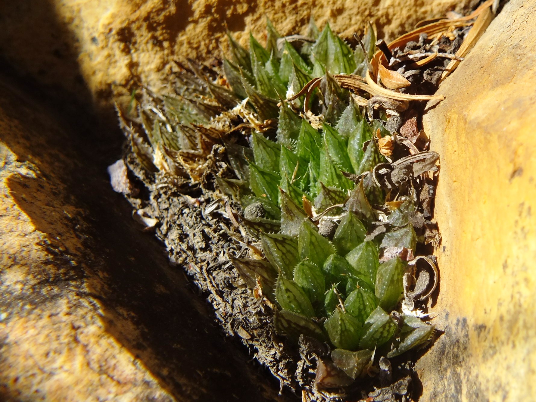
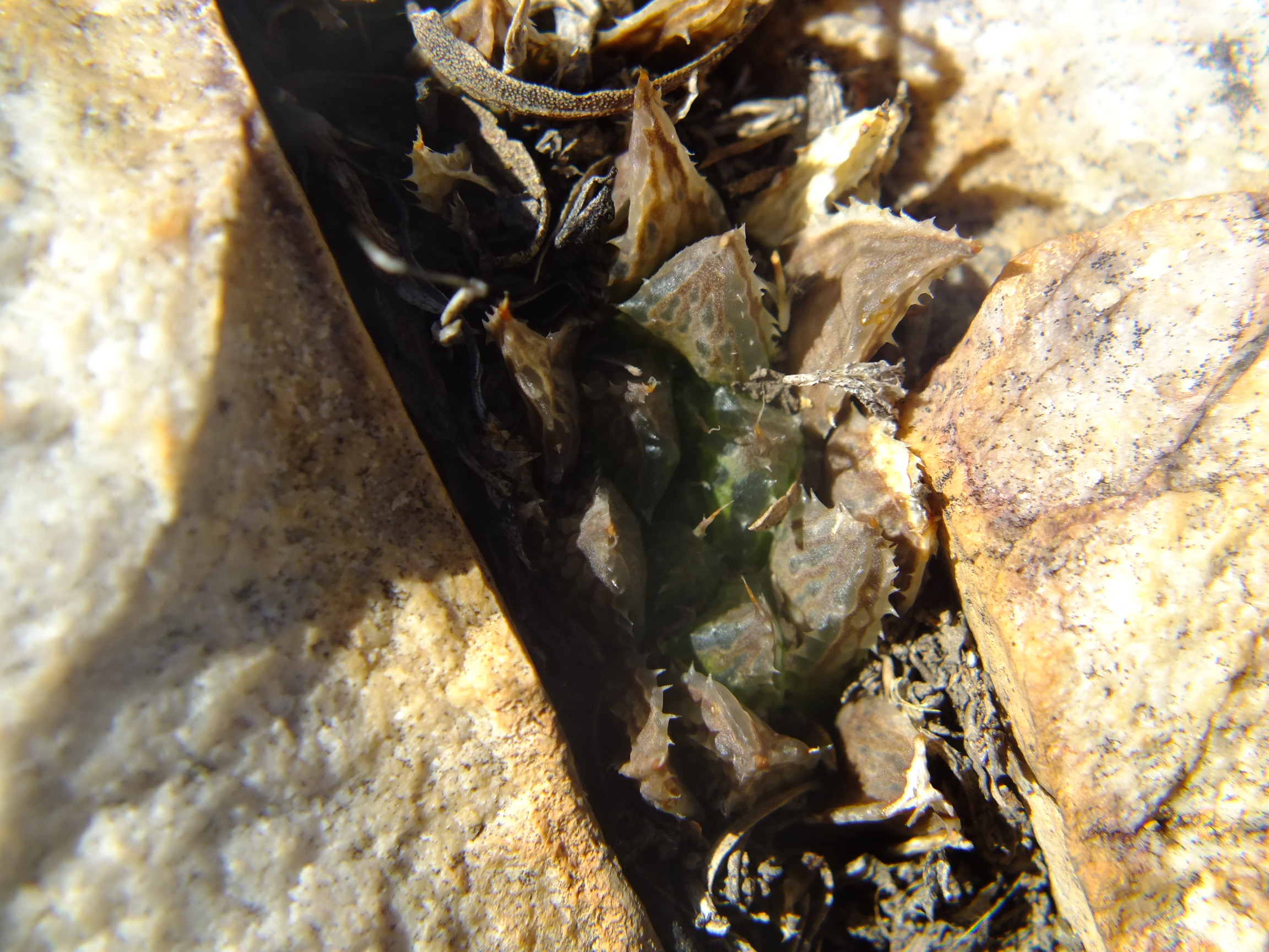
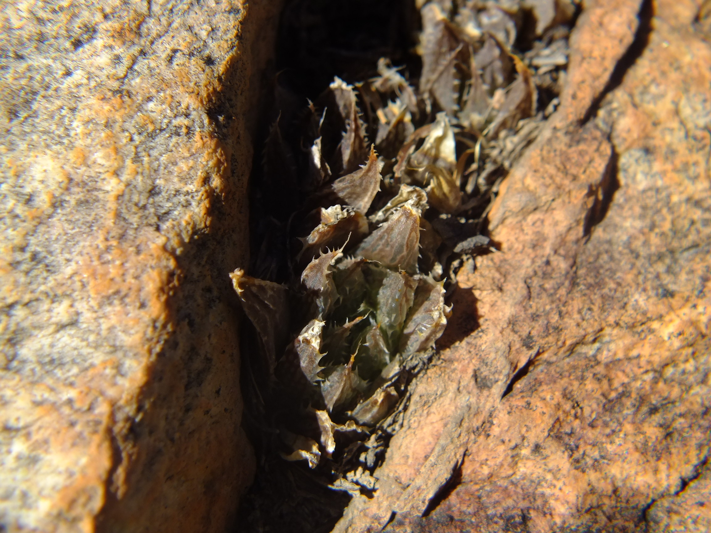
Set 4. Map point 10. SE Lemoenpoort Figs. 4.1 to 4.28 MBB7266 H. maculata SE Lemoenpoort.
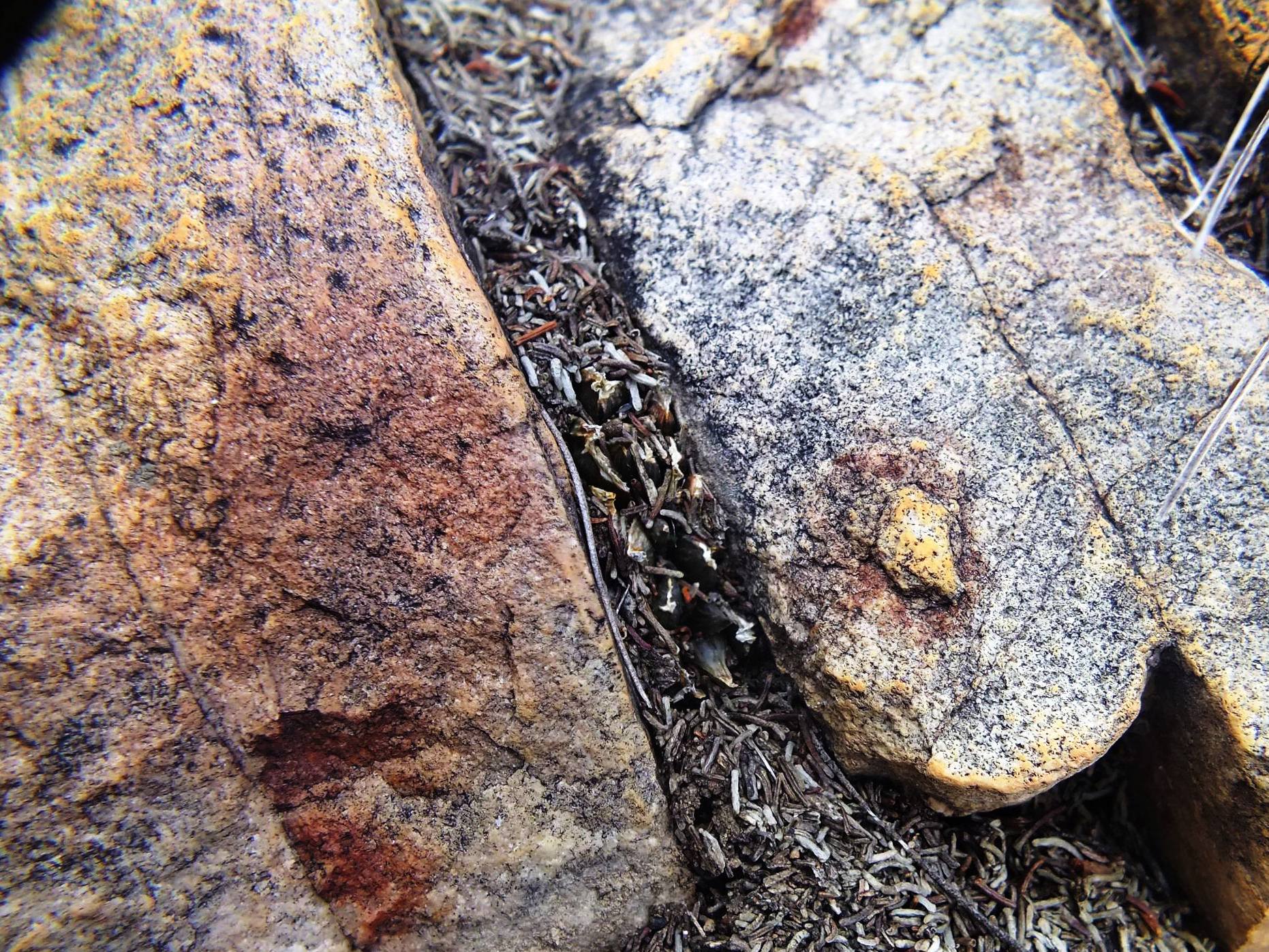
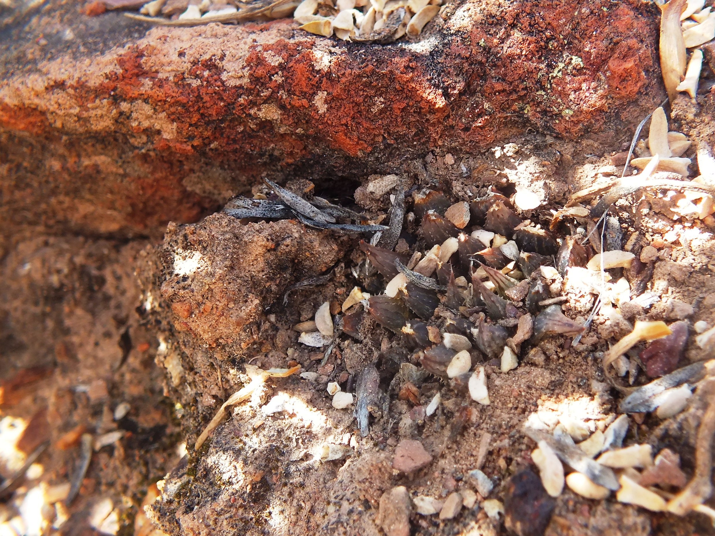
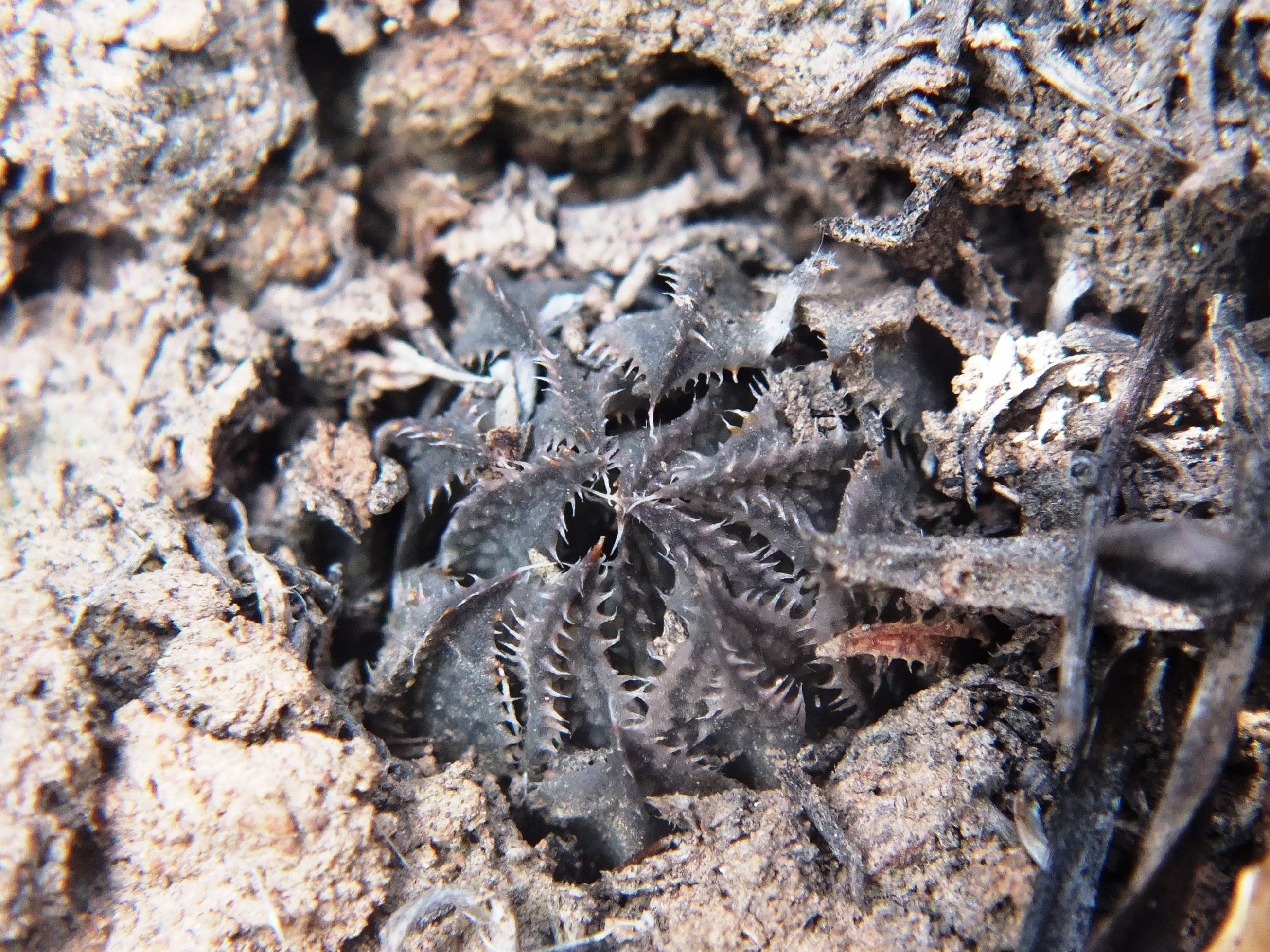
This is a more west facing slope and also relatively low down on the mountain side. The plants were in rocks bordering an eroded softer shale band. They probably also occur higher on the slope in less mineralized sandstone. Generally the plants were very cryptic and tended to be solitary.
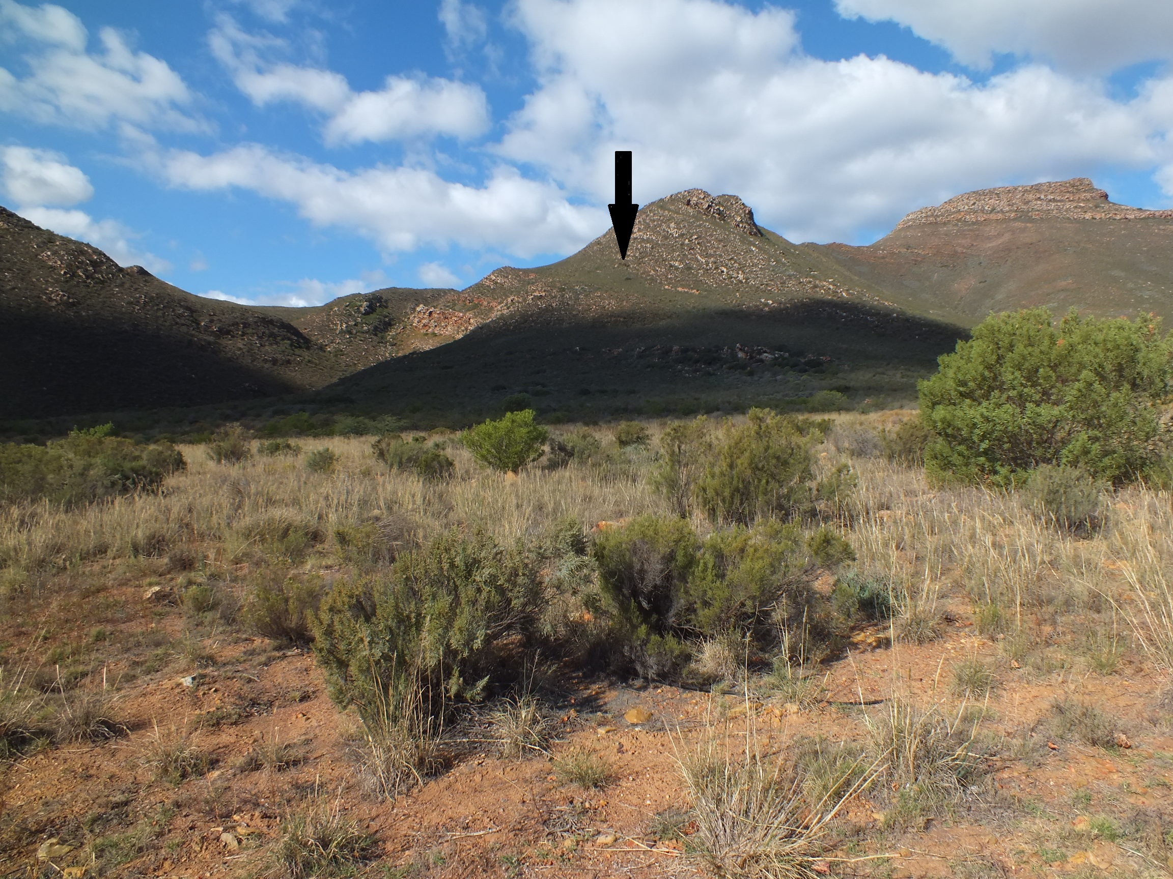
MBB7266 SE Lemoenpoort, view to southwestMBB7266 SE Lemoenpoort, looking up at locality.
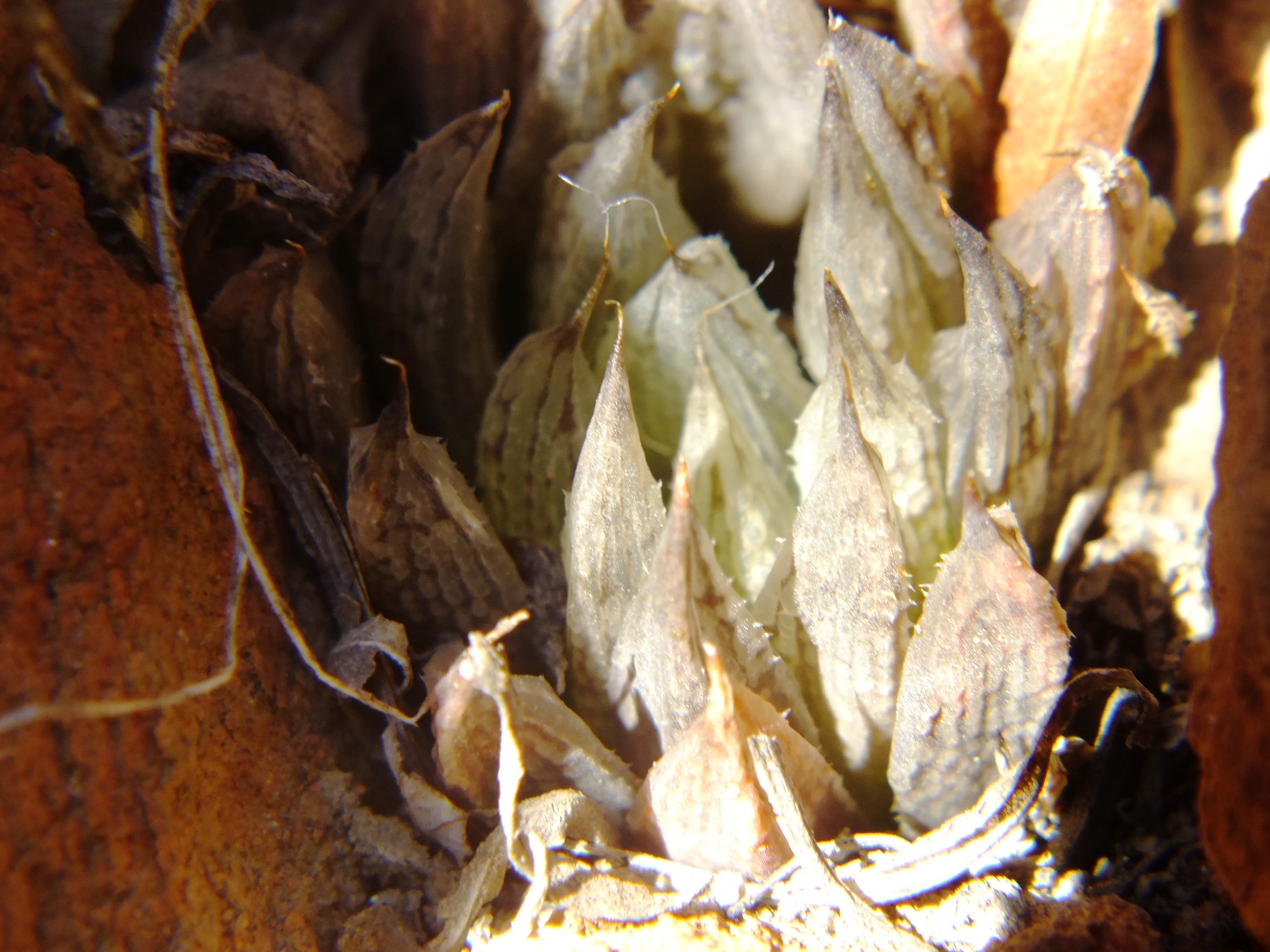
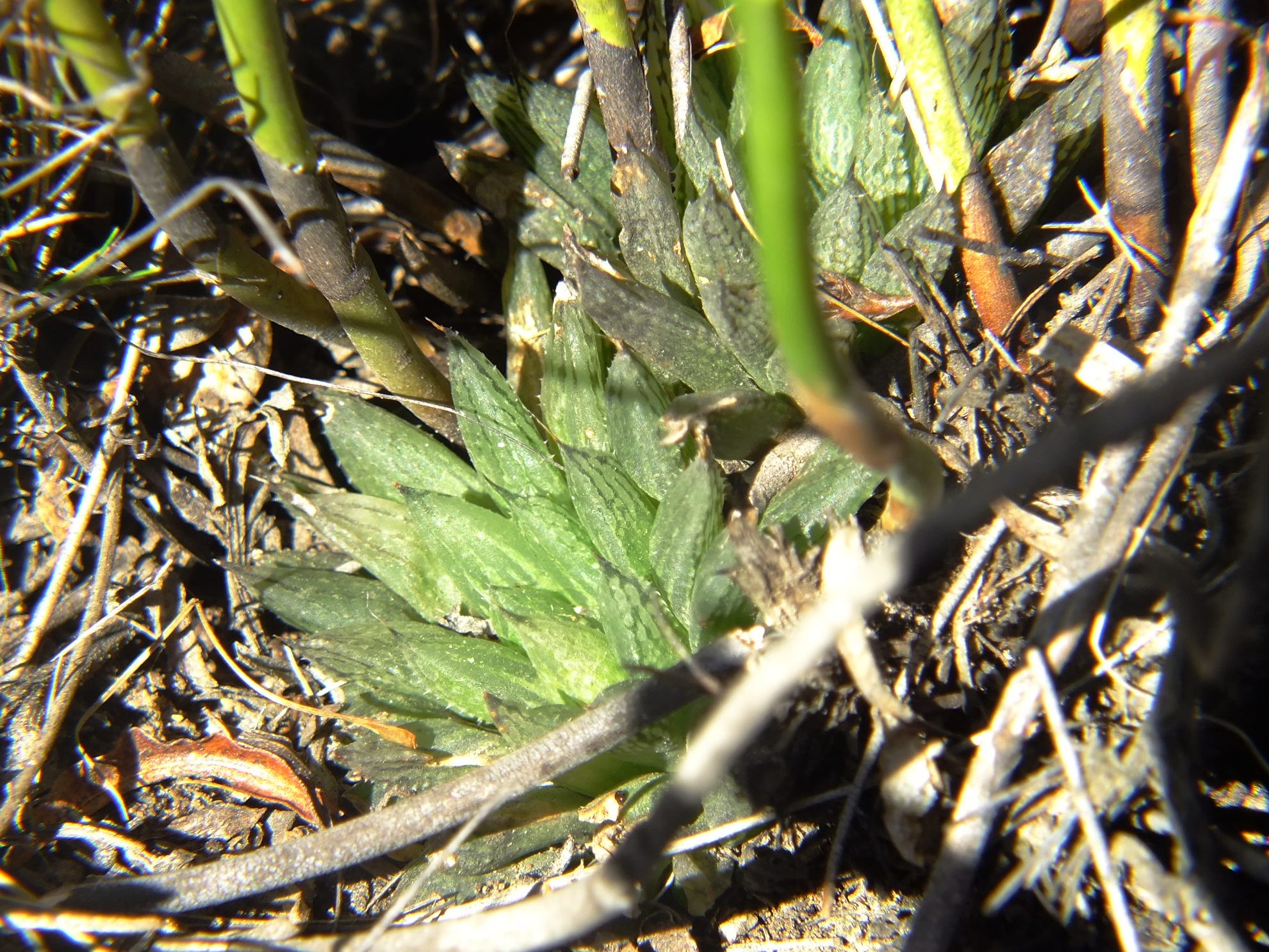
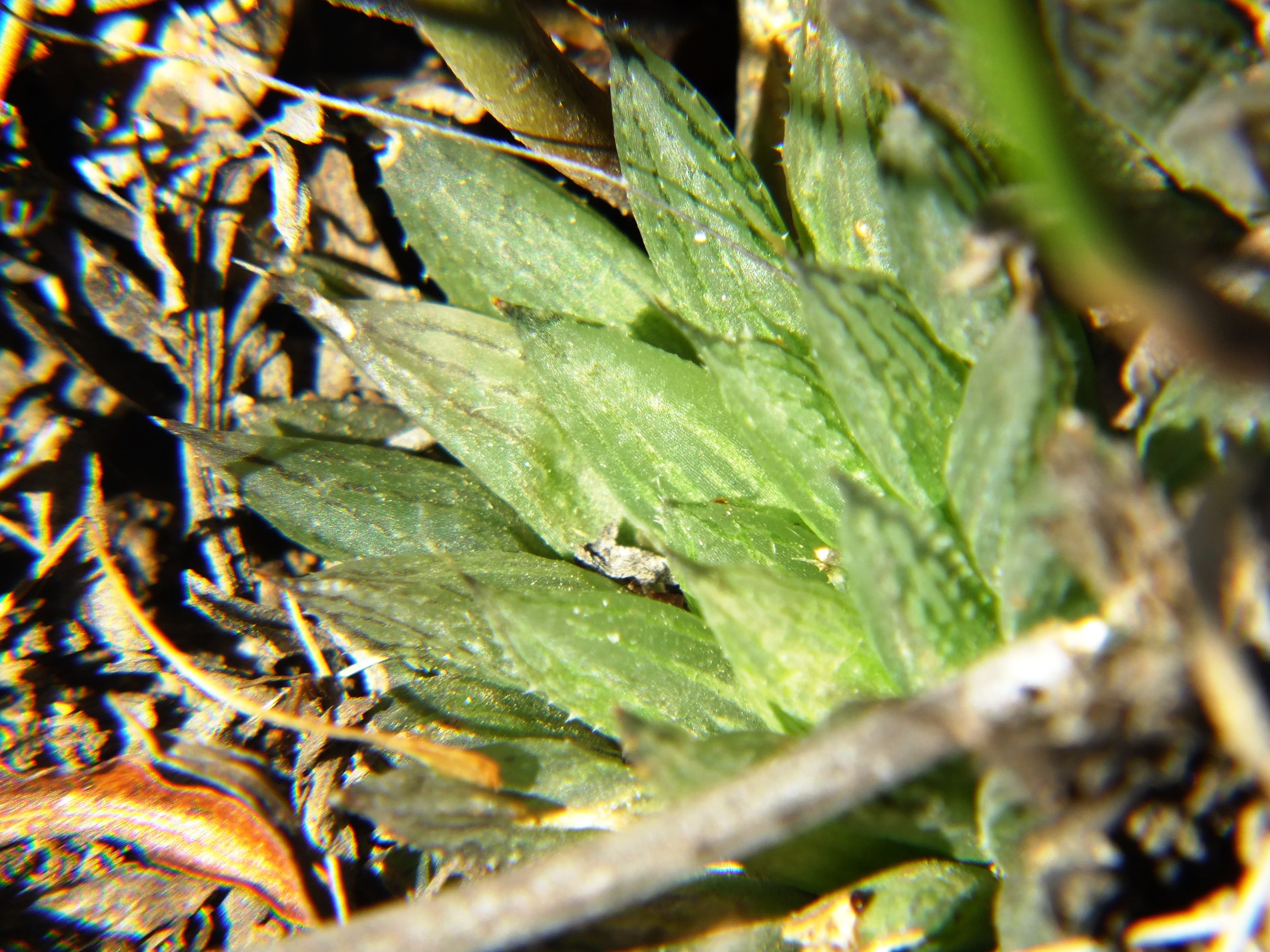
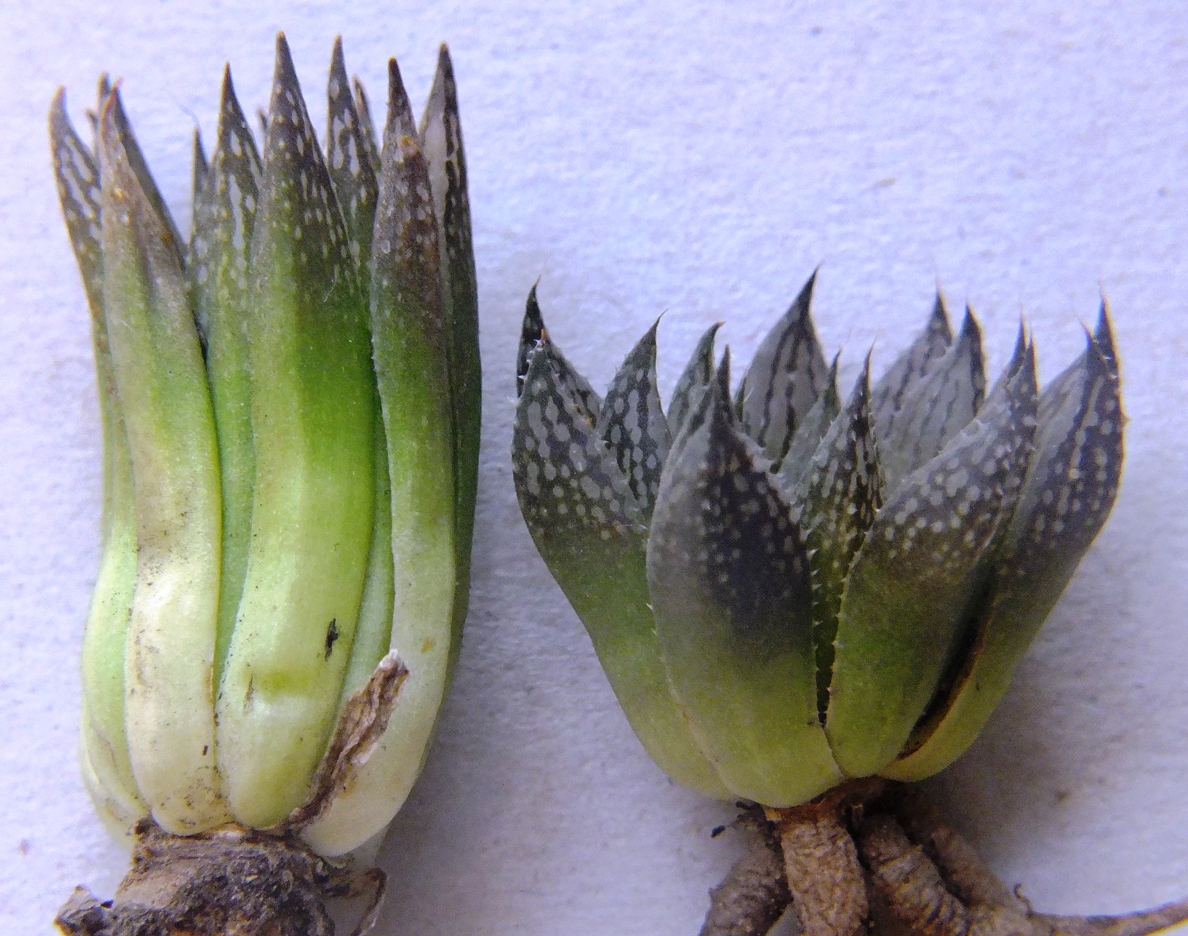
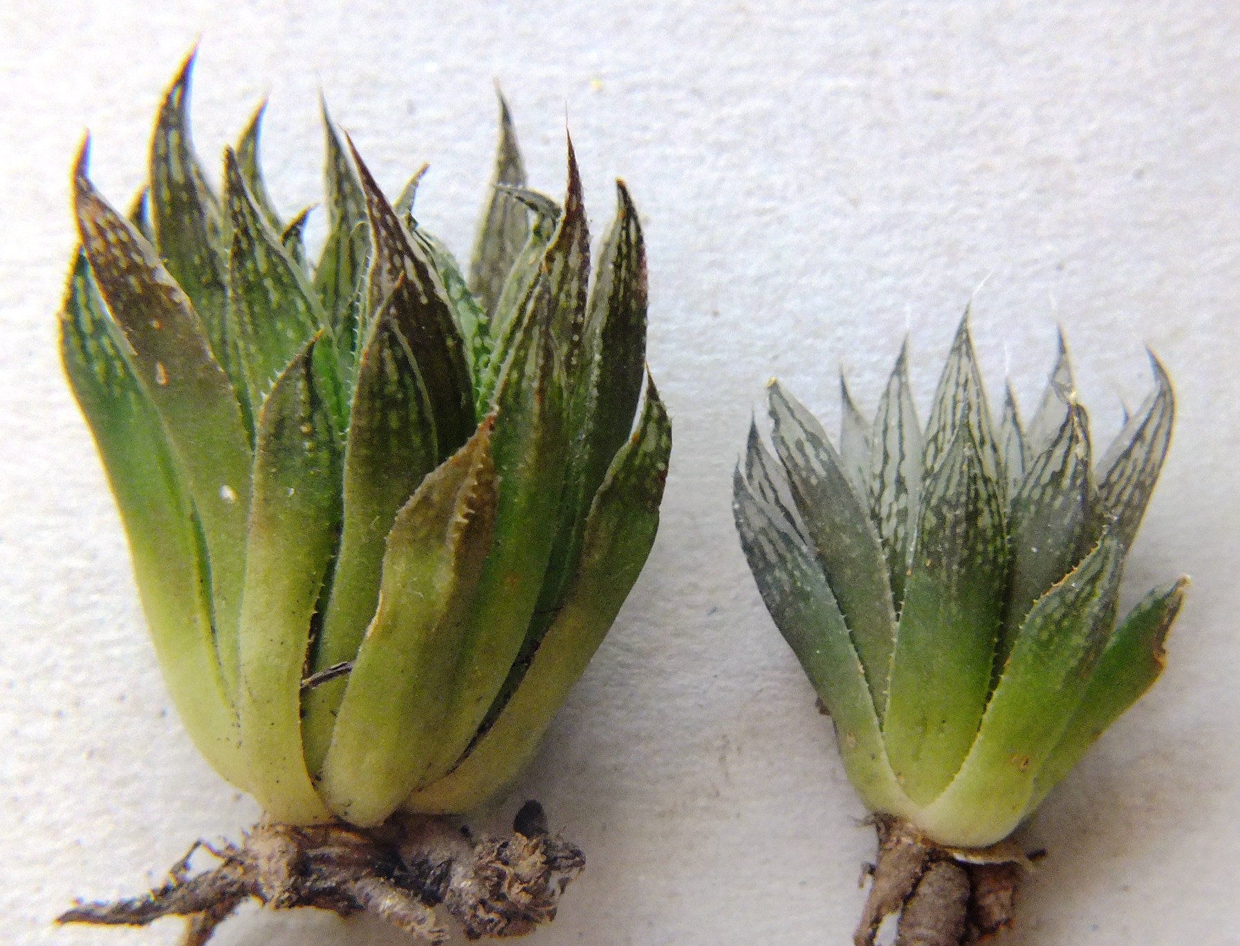
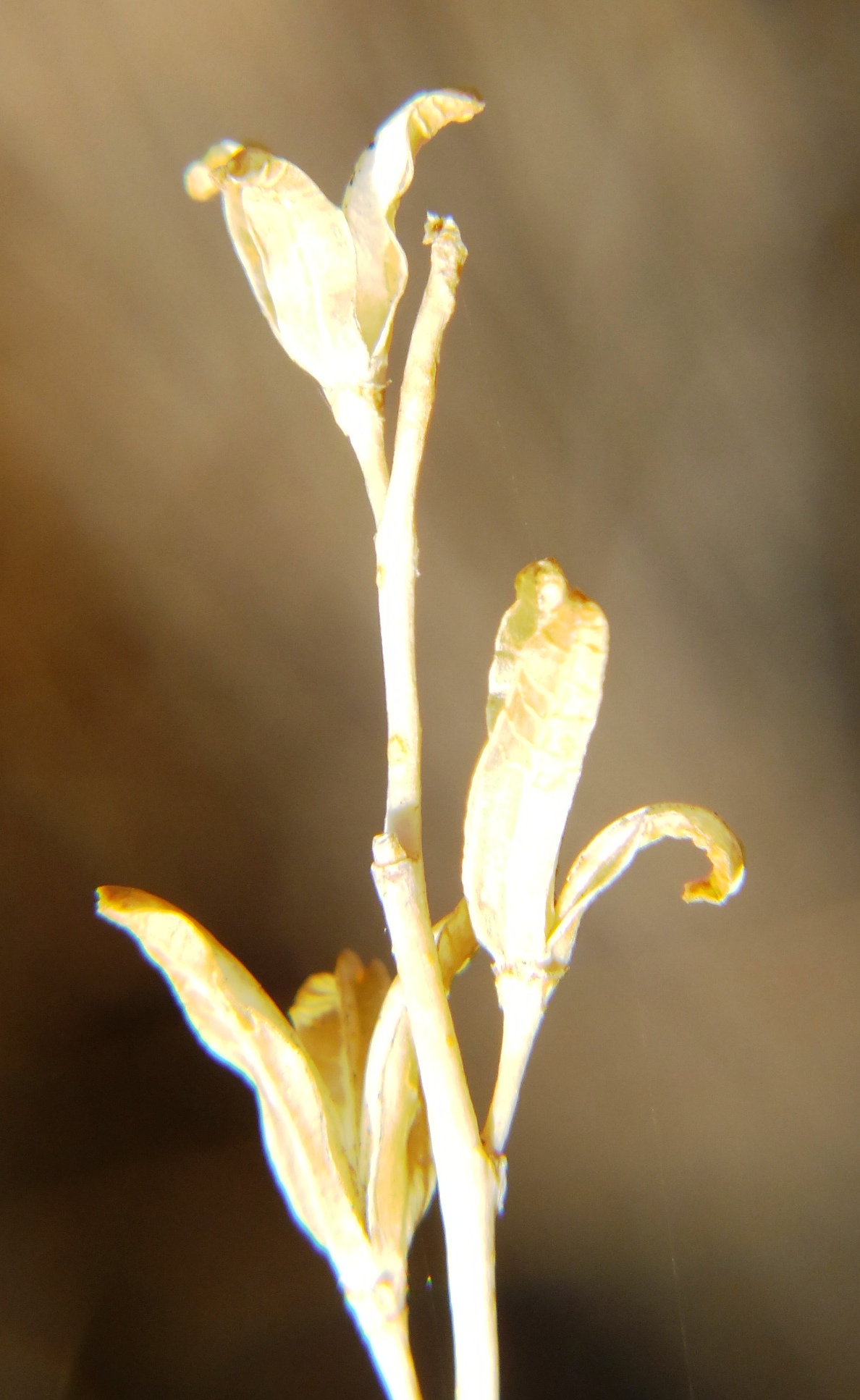
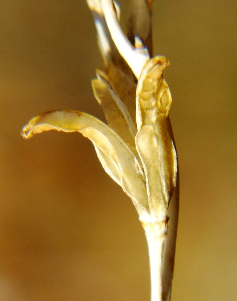
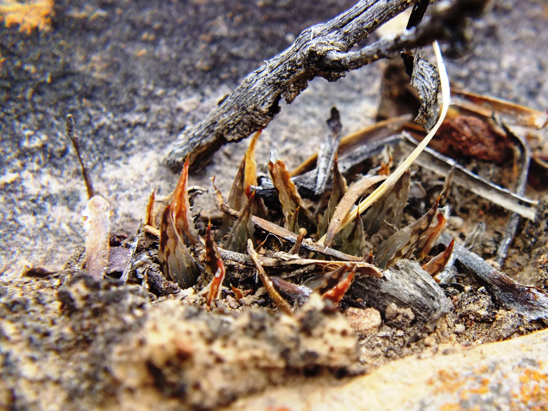
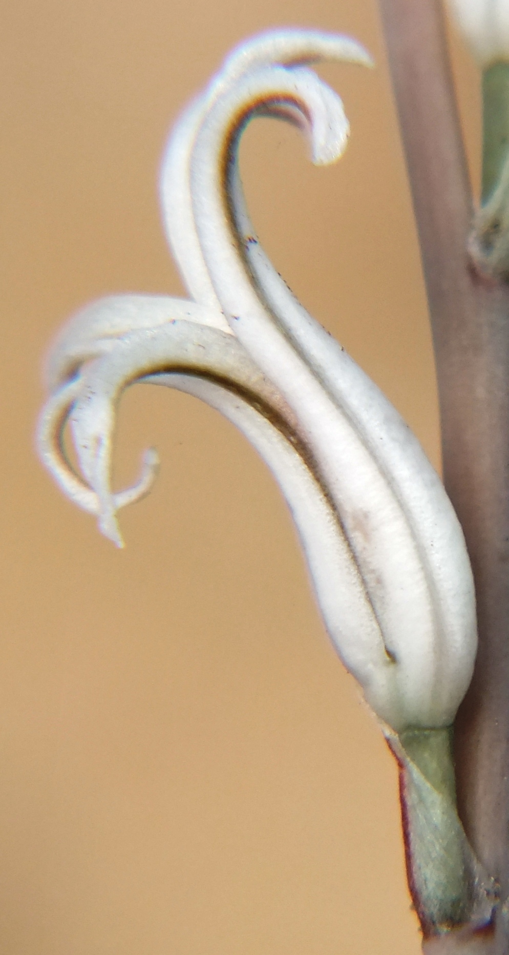
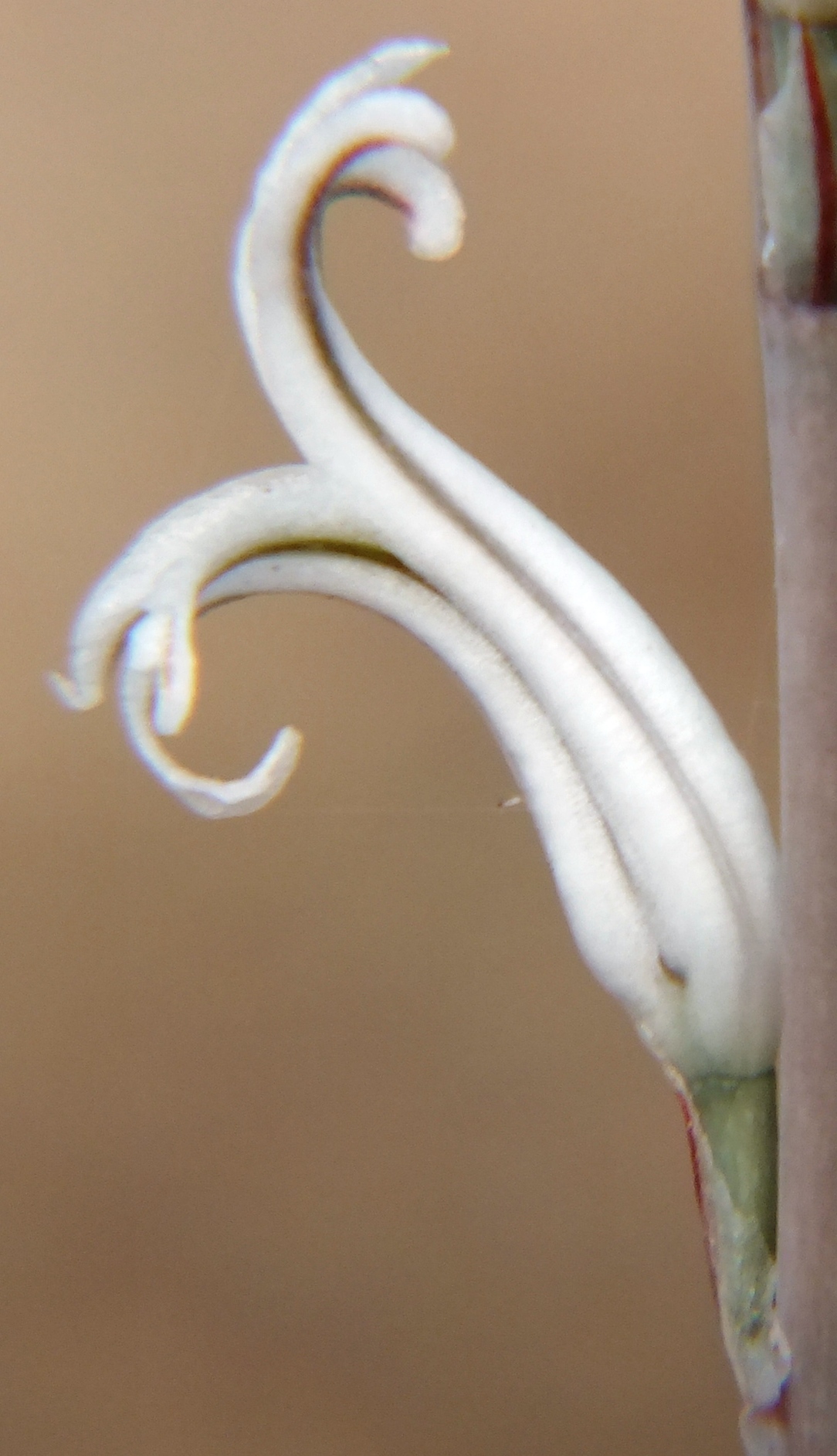
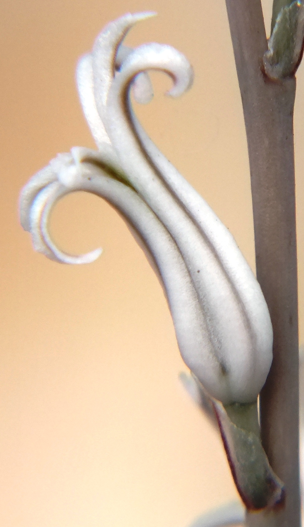
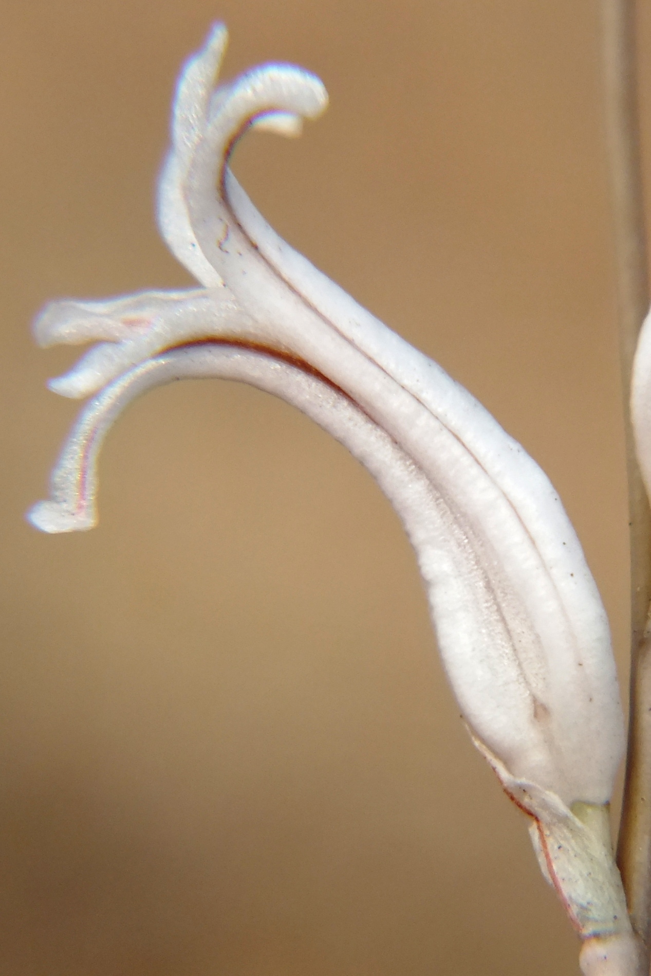
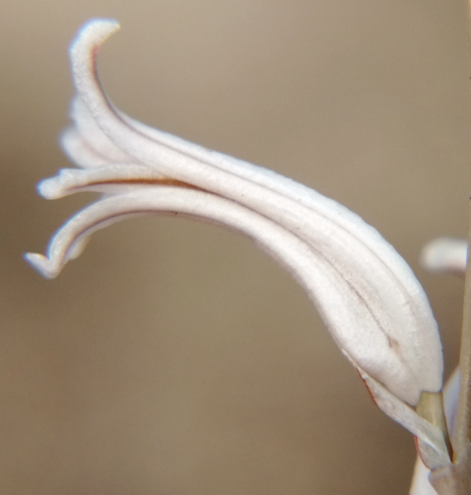
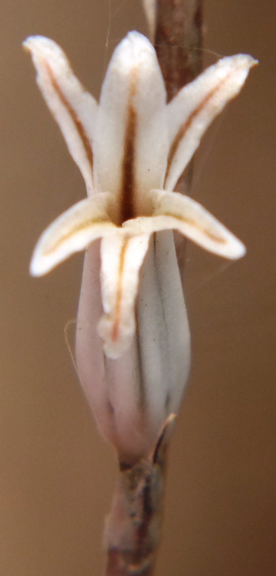
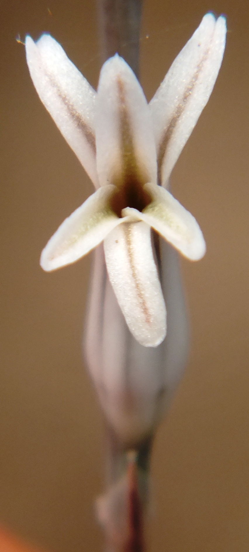
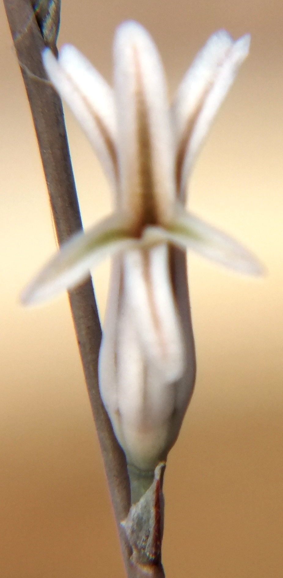
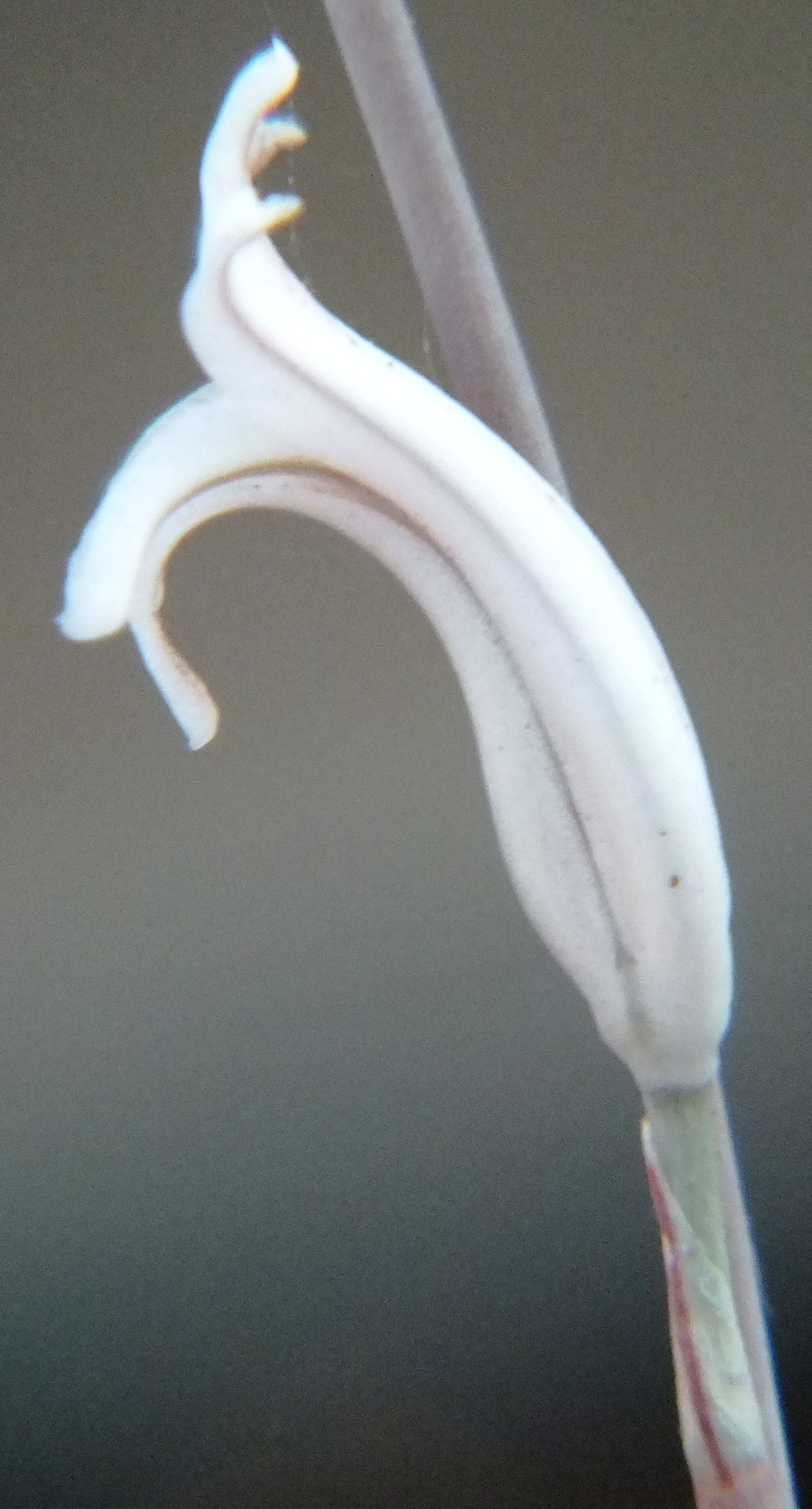
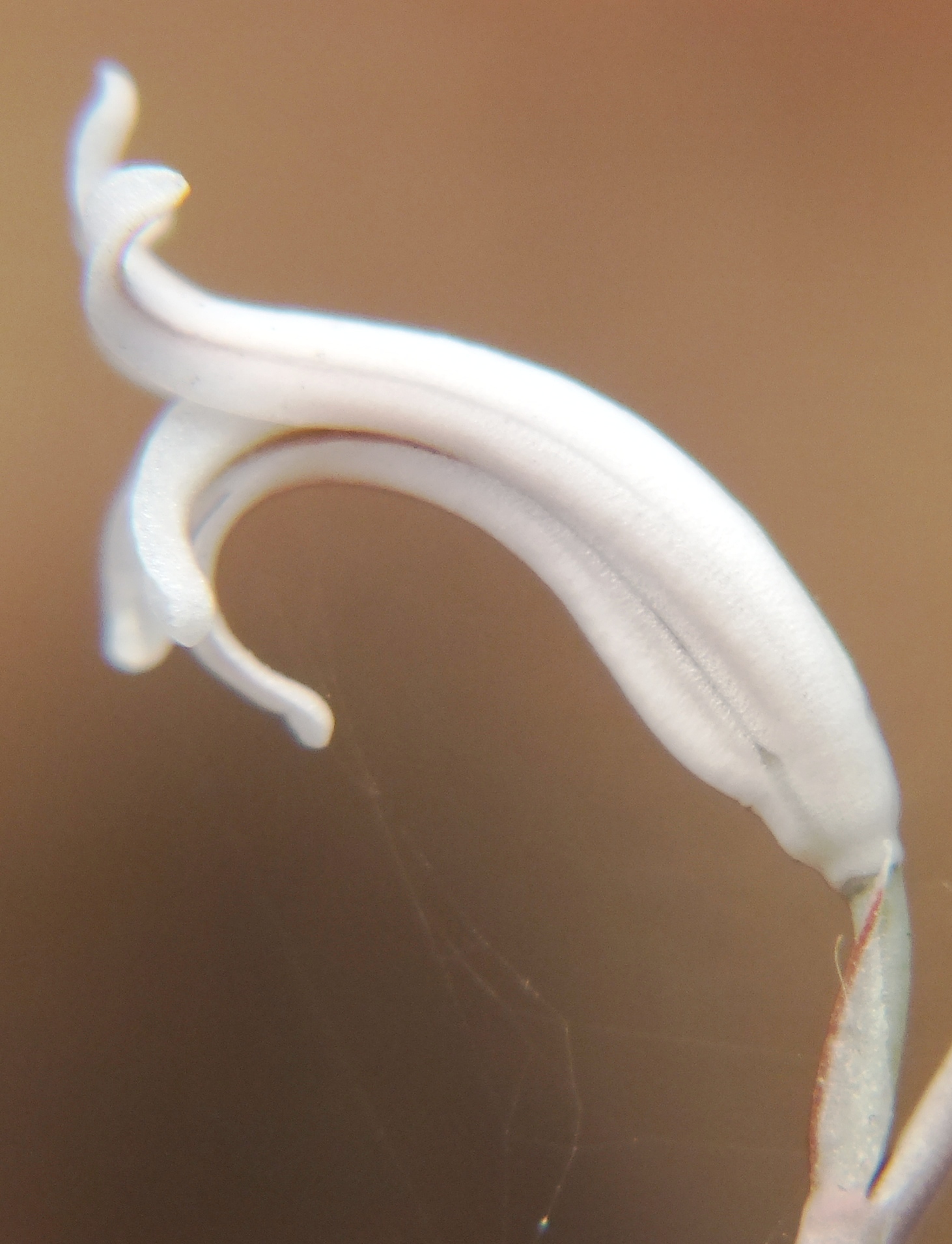
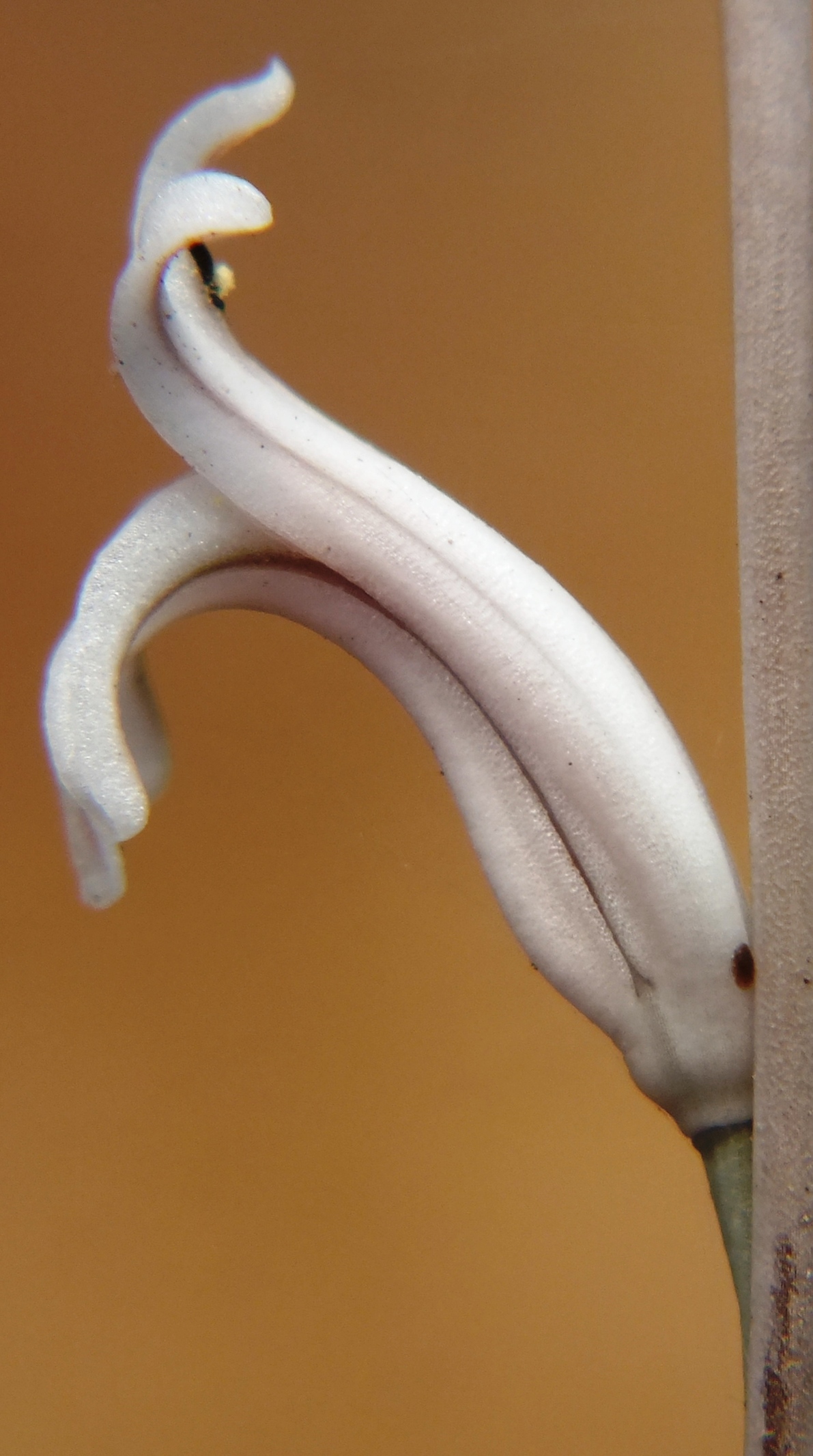
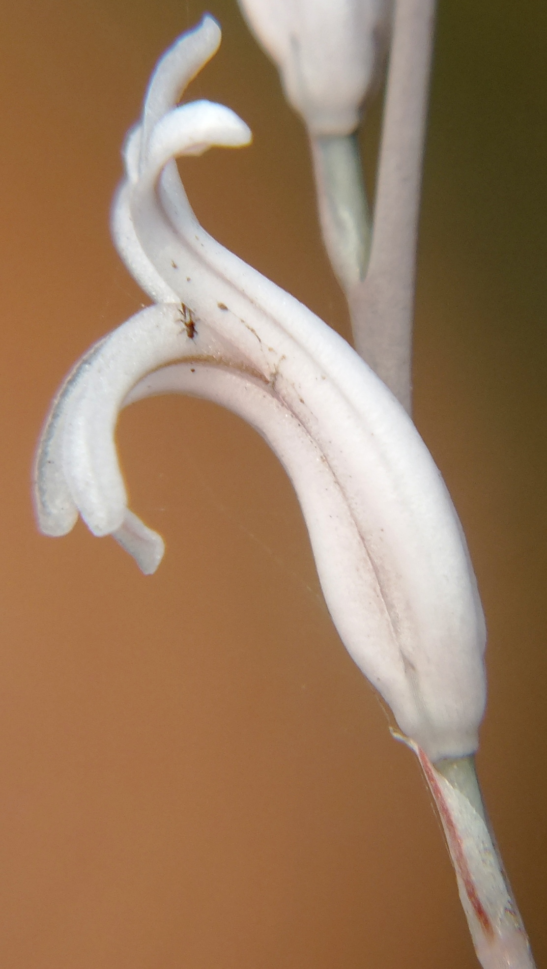
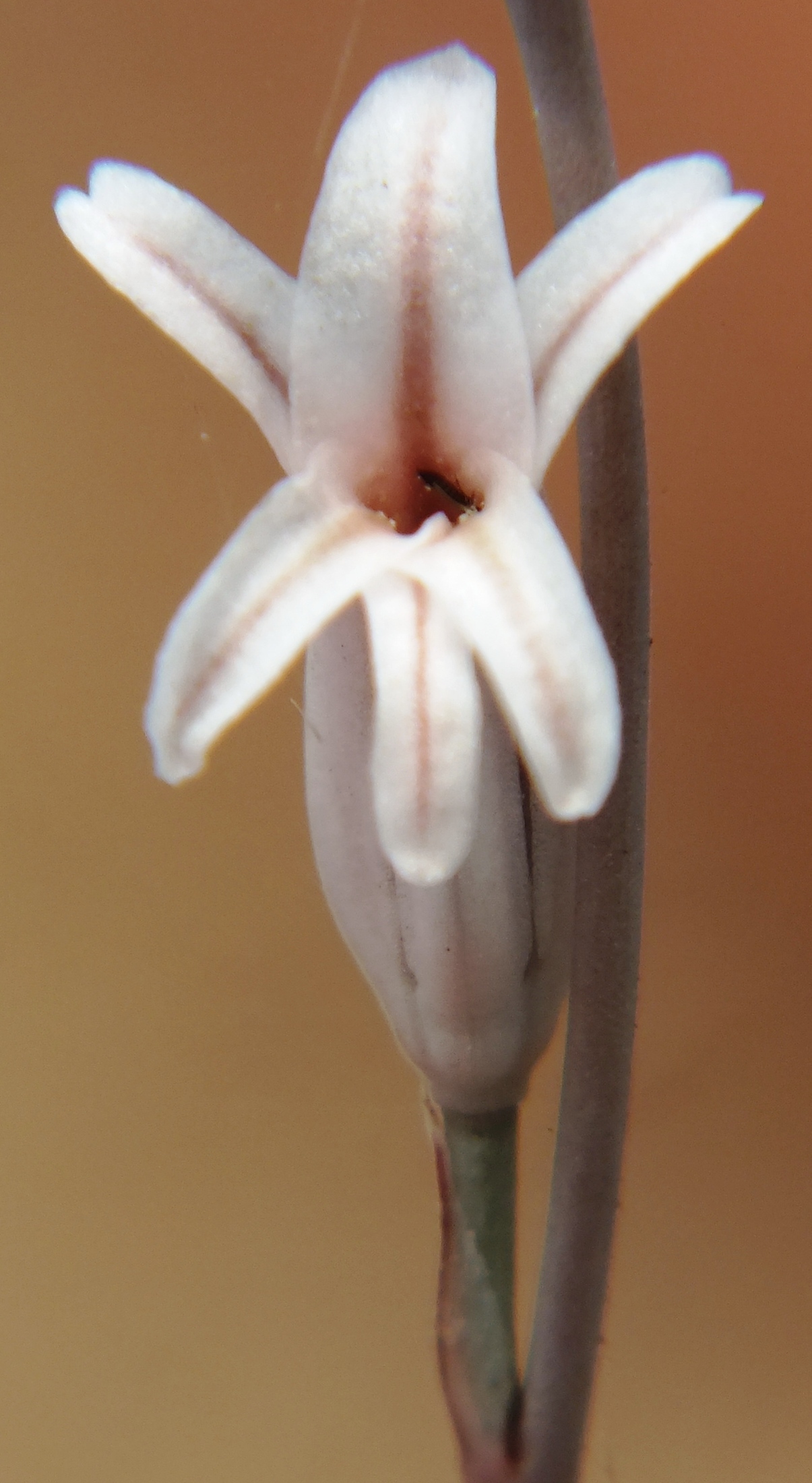
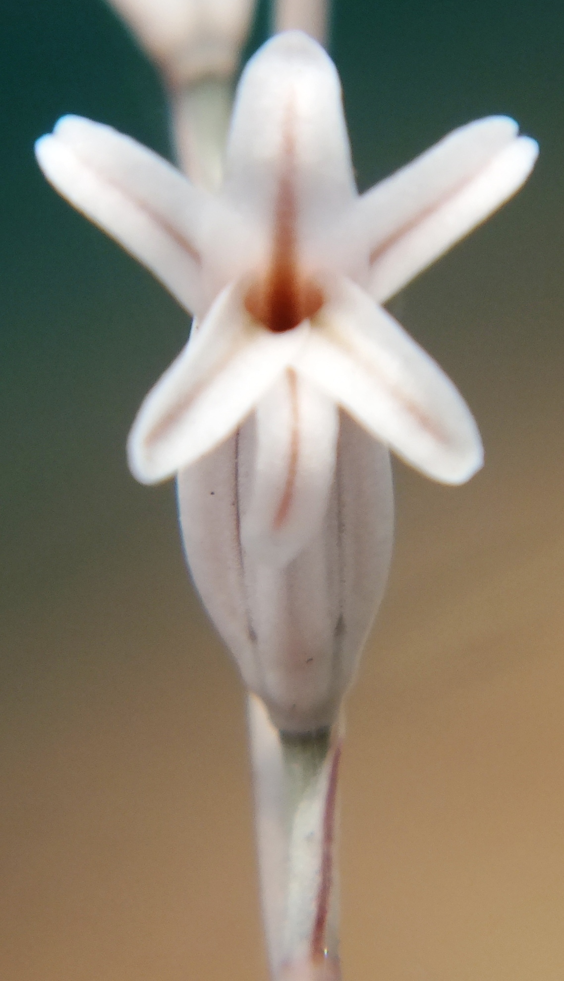
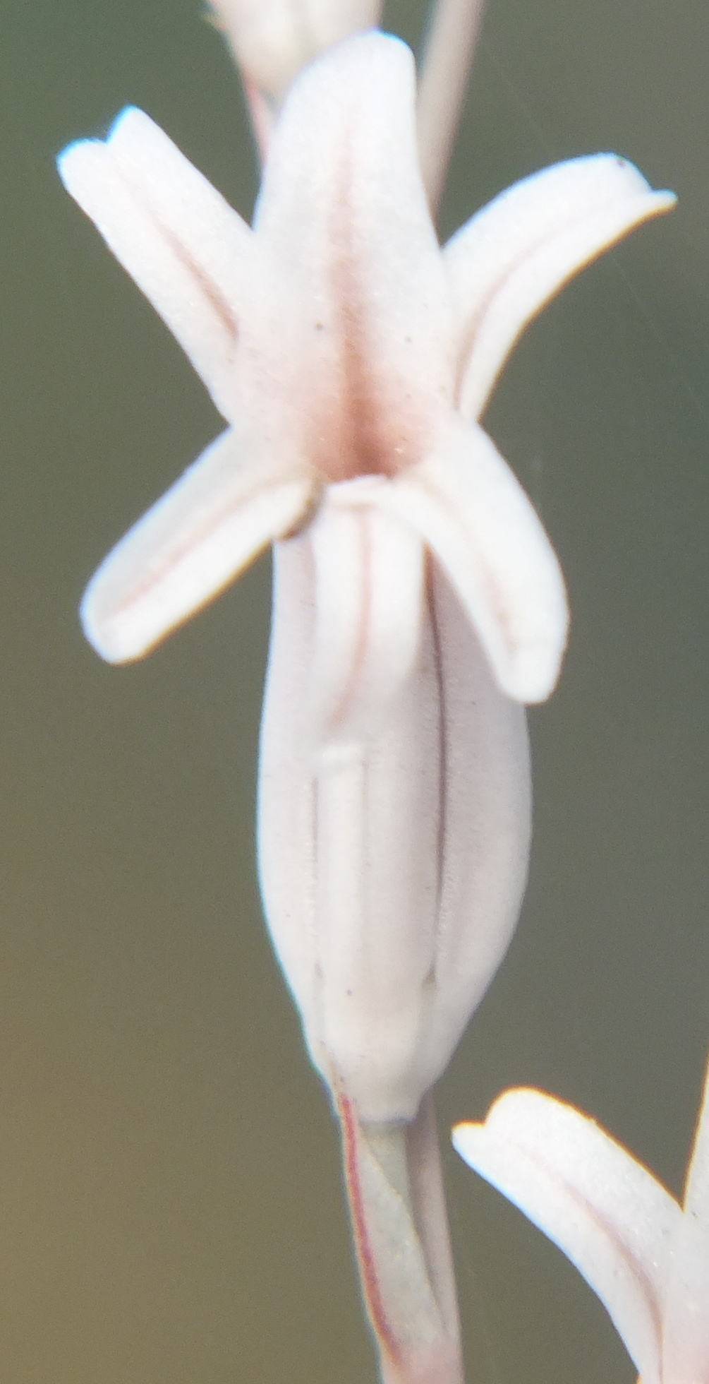
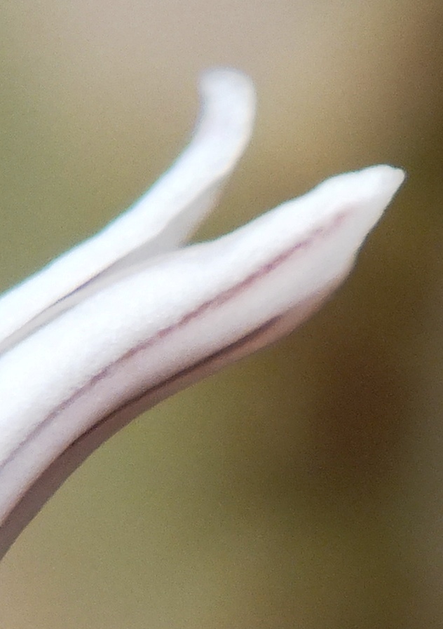
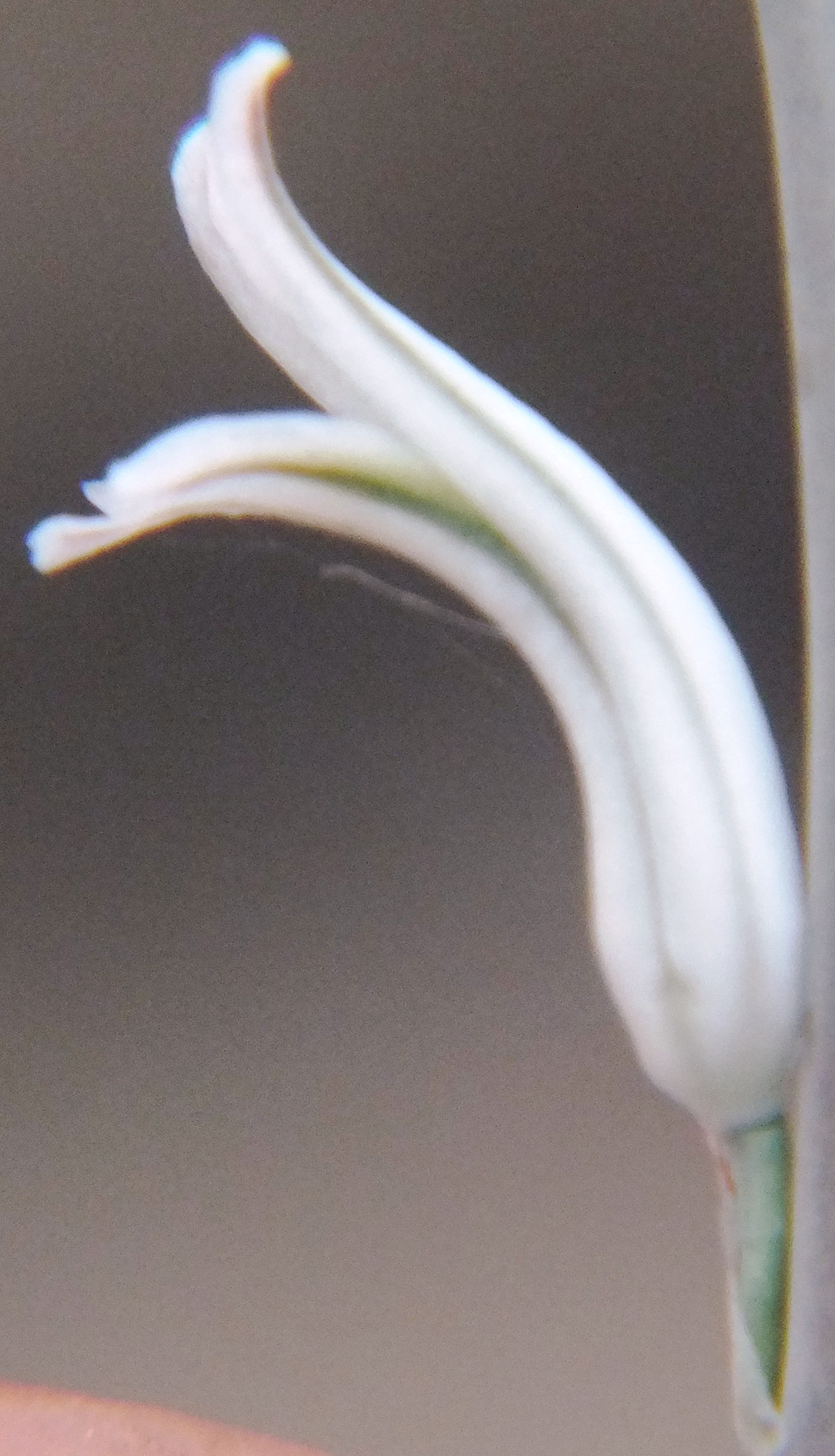
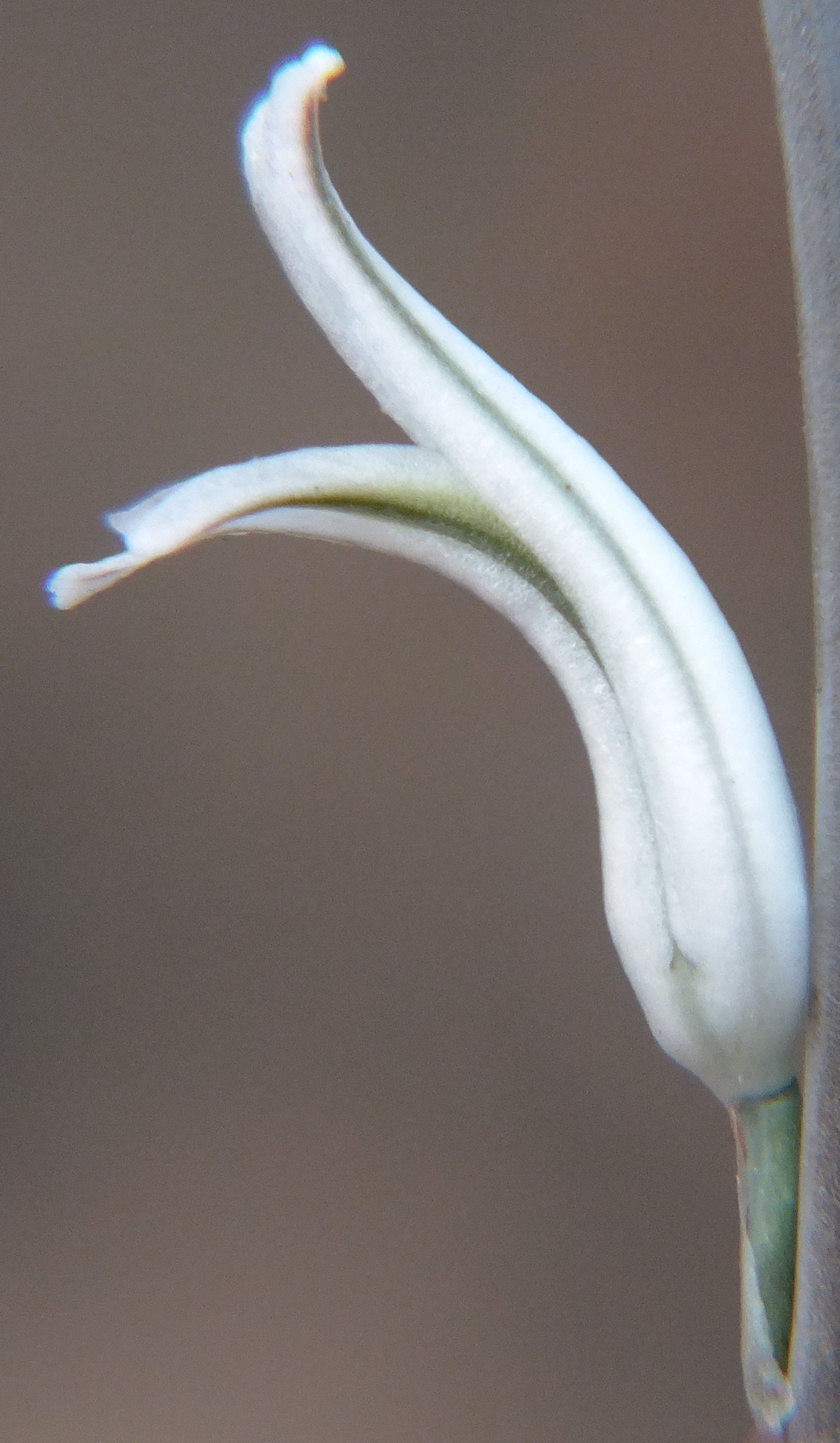
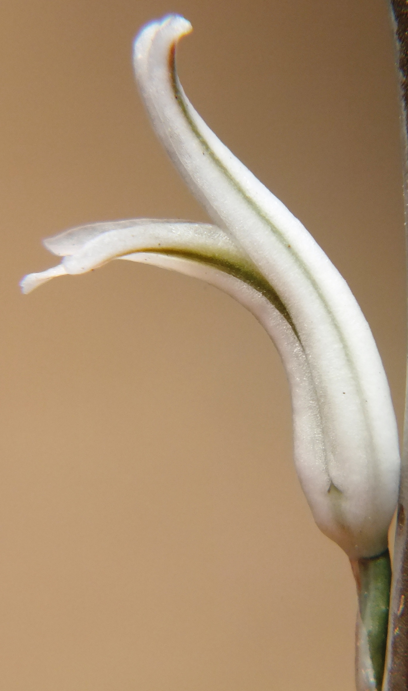
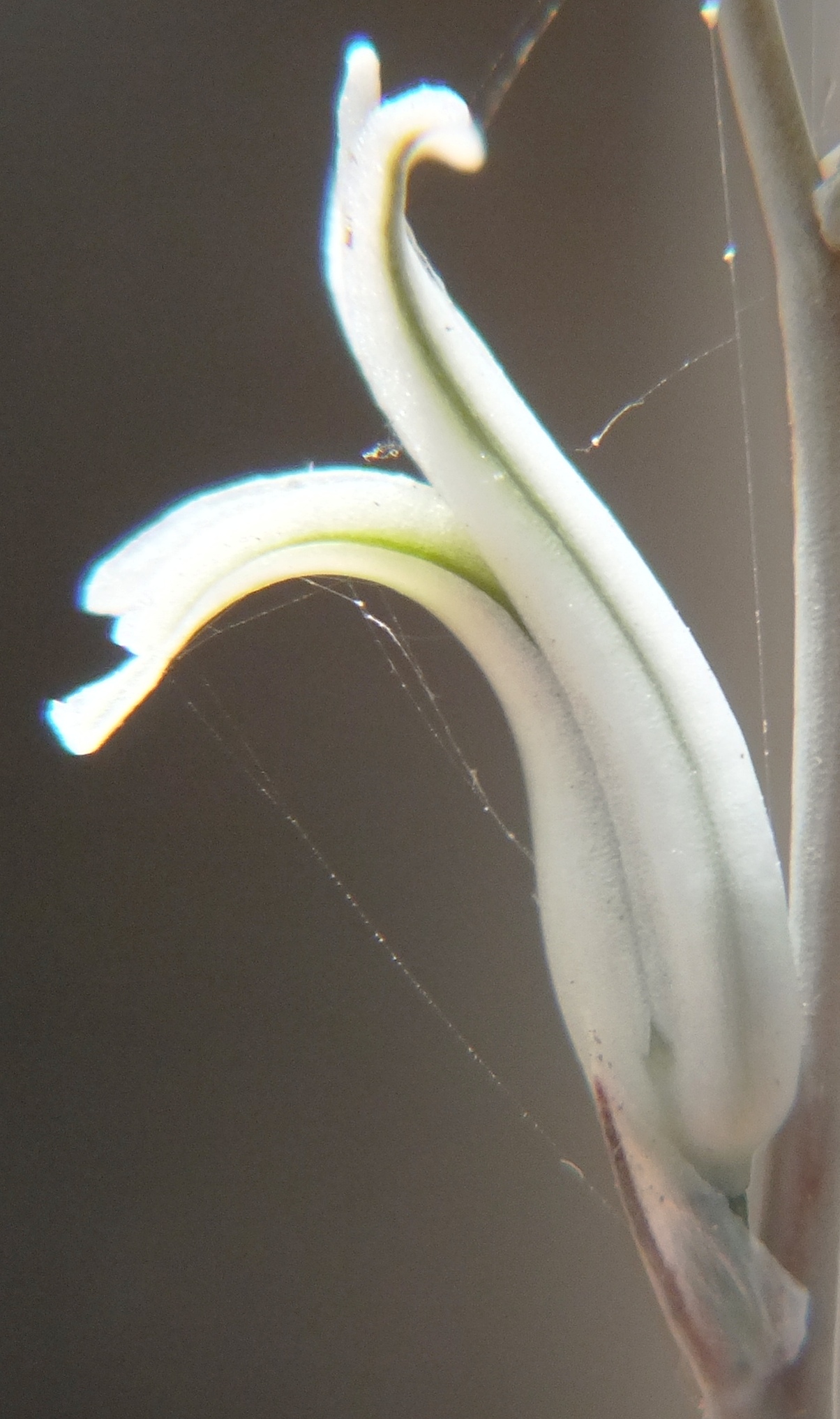
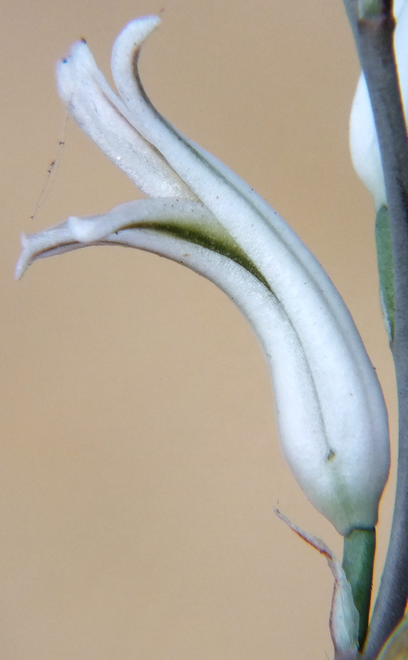
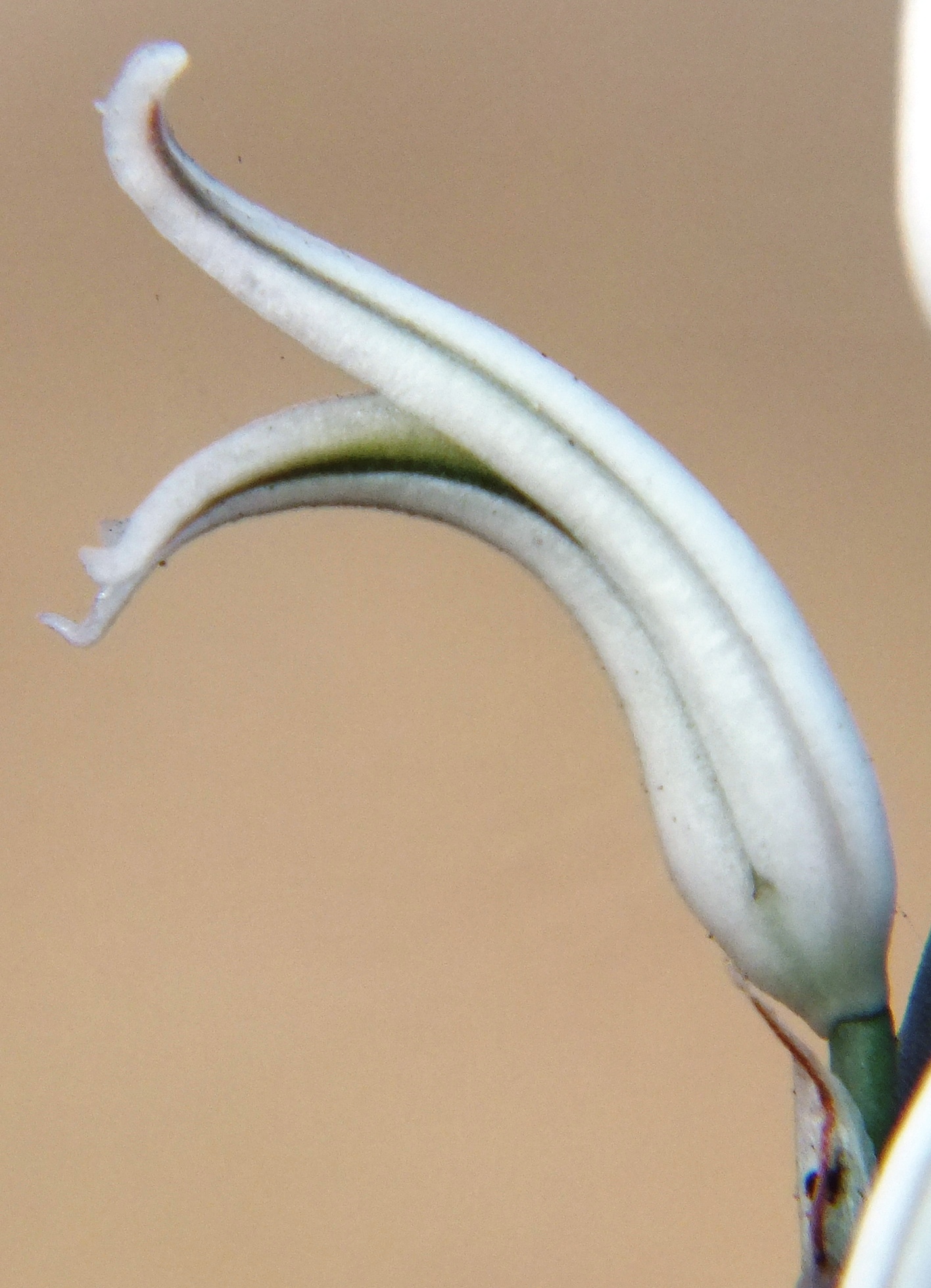
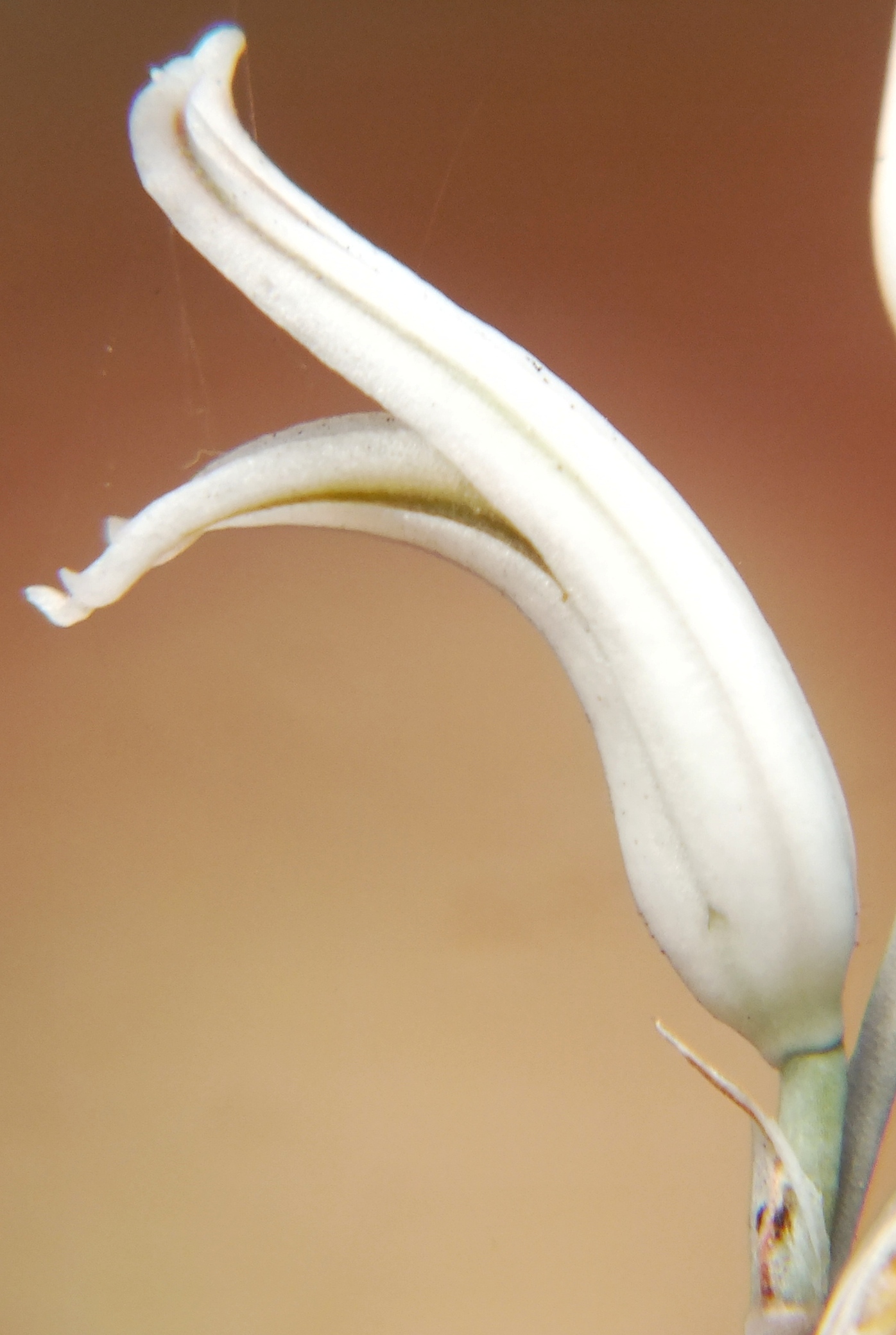
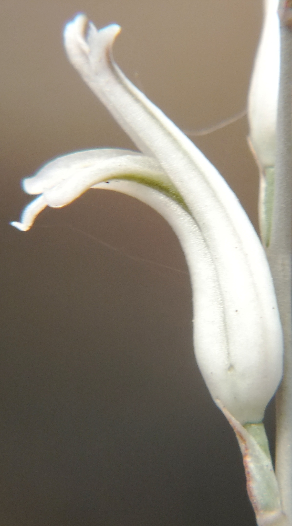
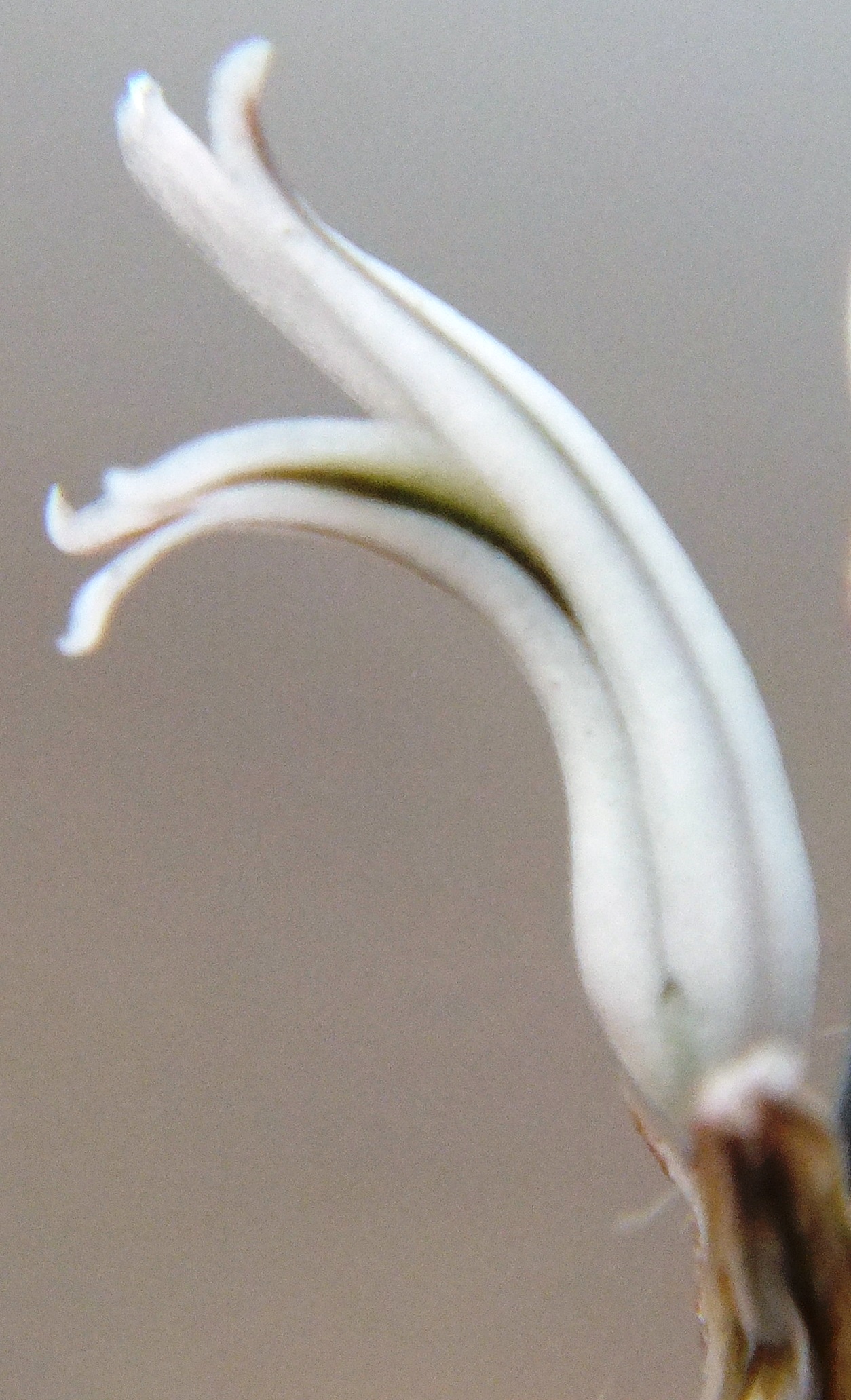
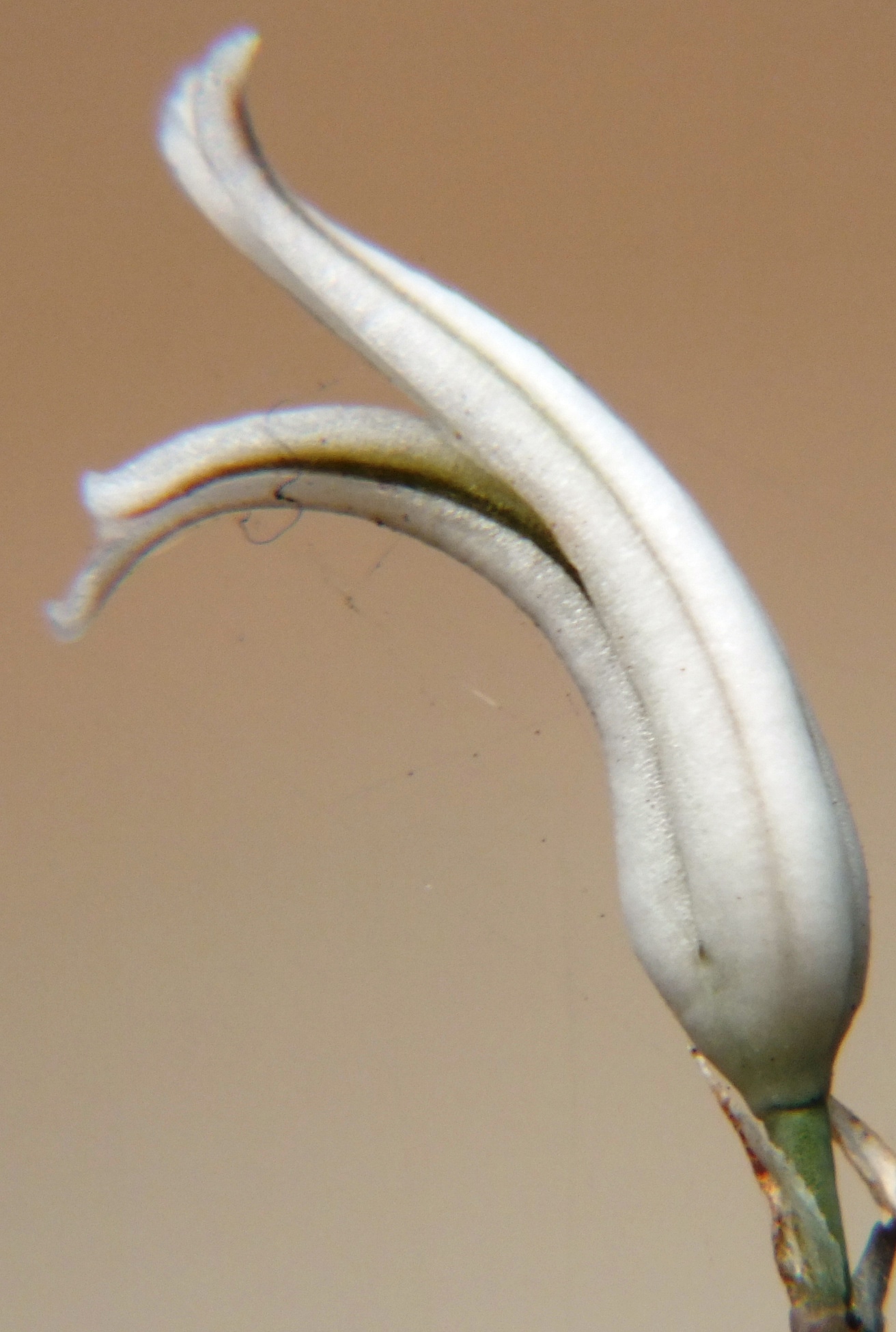
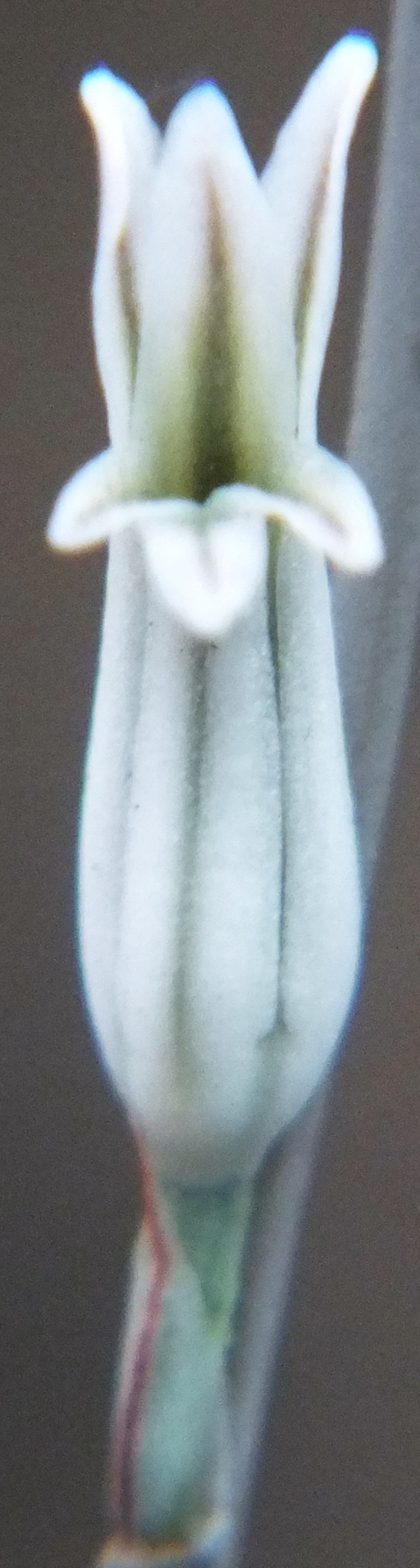
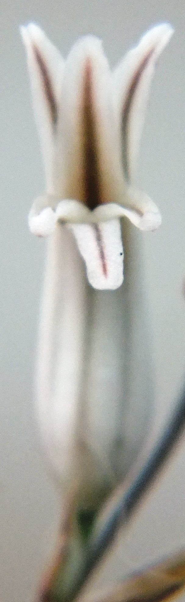
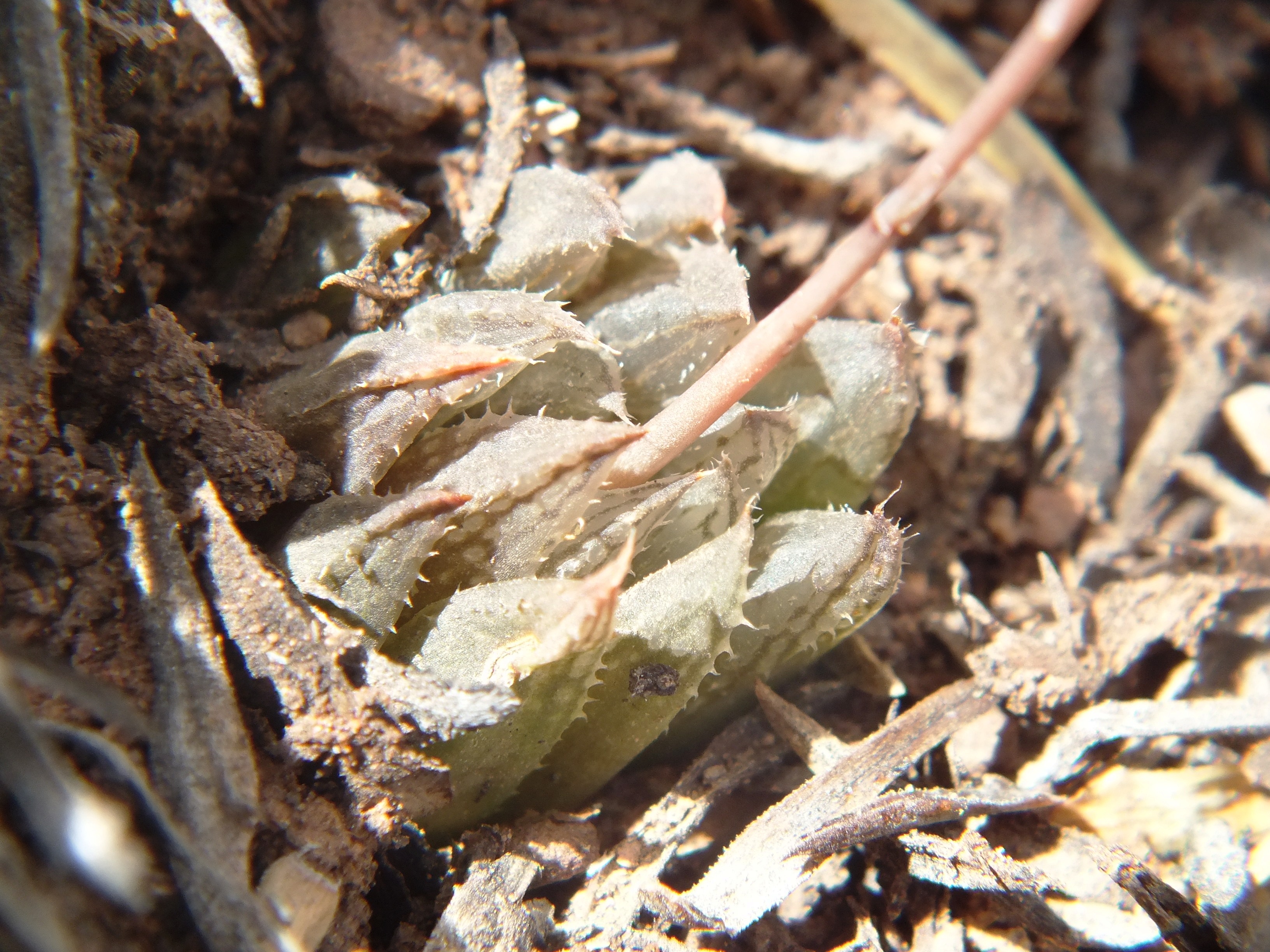
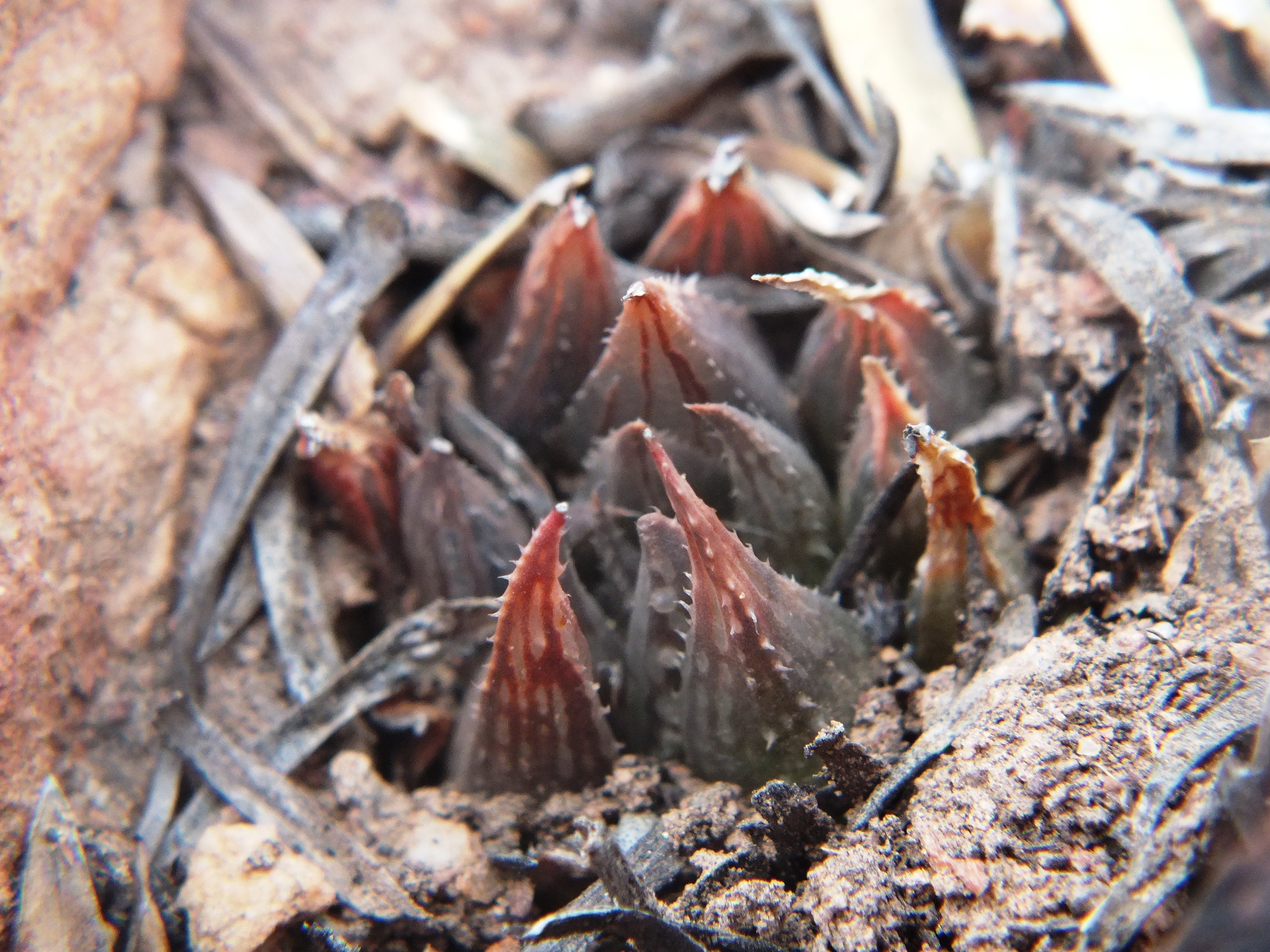
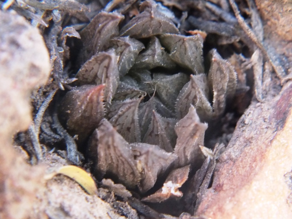
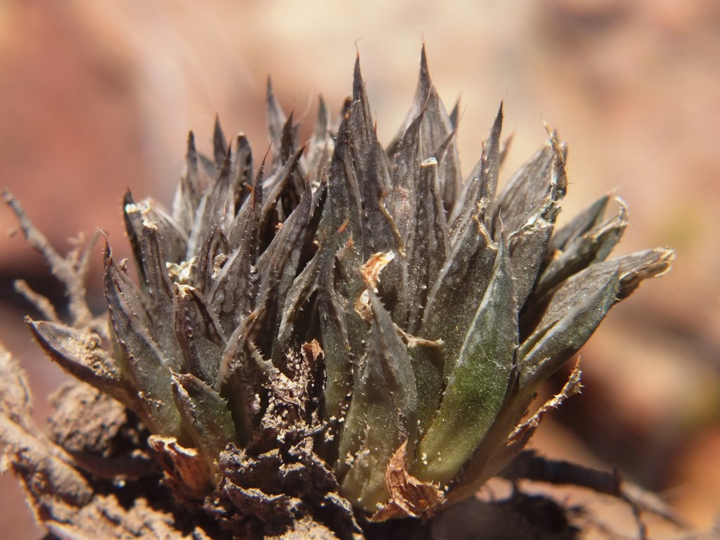
MBB1128 (MBB7066 W. Lemoenpoort) is the type locality for H. maculata var. livida. Plant pics are available in Haworthia Update Vol. 9. A myth corrected to, population 5, set 3. Here are flower photos from 8 December 2012.
MBB4461 (and (MBB6514) H. mirabilis ‘notabilis’ Buitenstekloof
In Haworthia Update Vol. 9 and a recent posting on Haworthia nortieri Bruce Bayer makes reference to this Haworthia maculata population, MBB7994 from Kanetvlei.
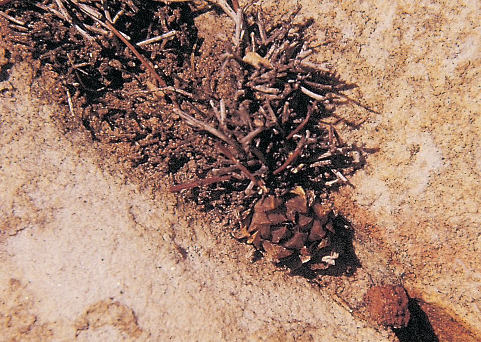
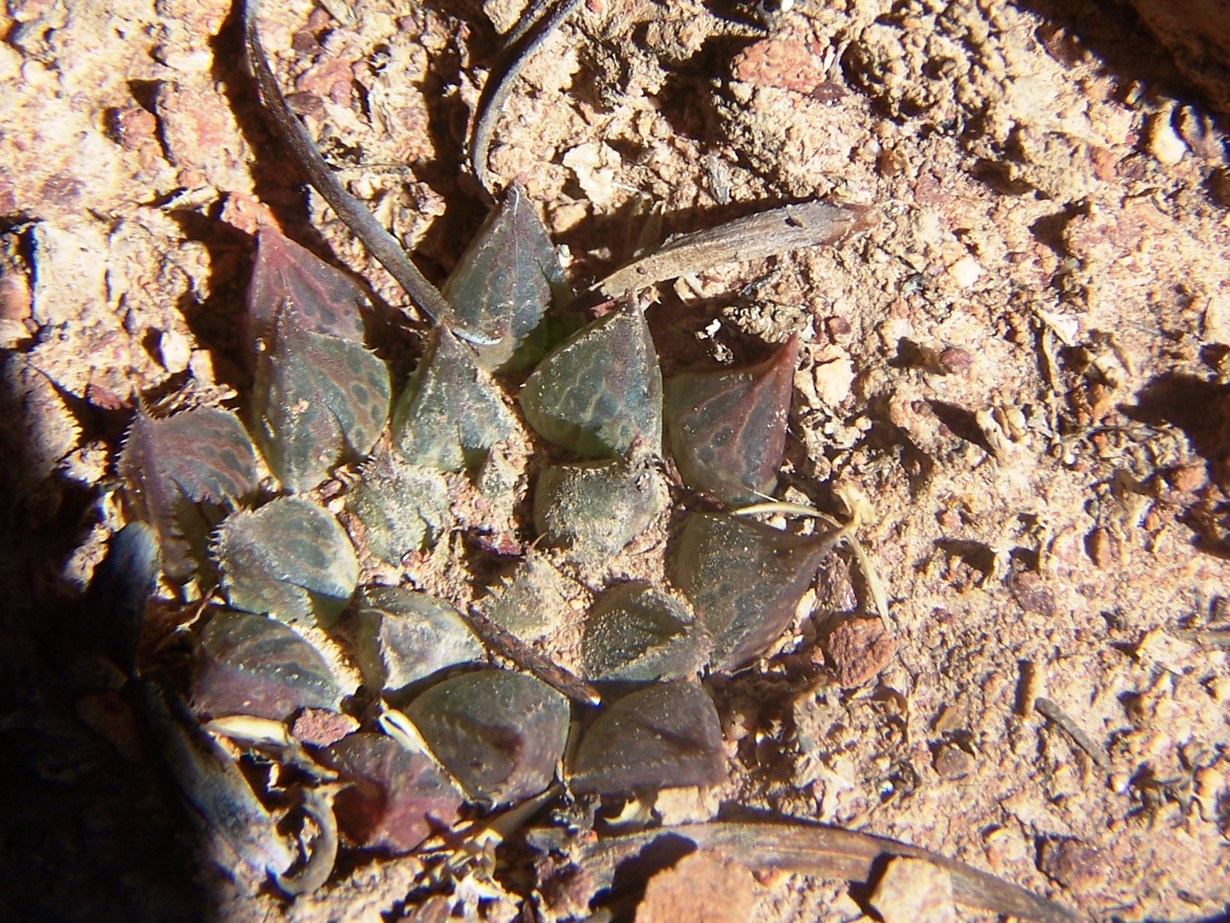
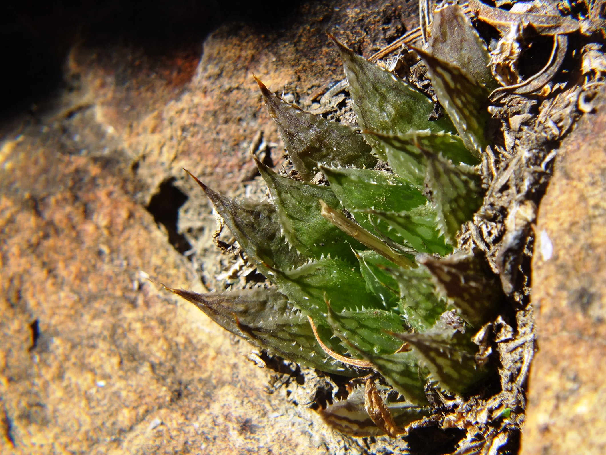
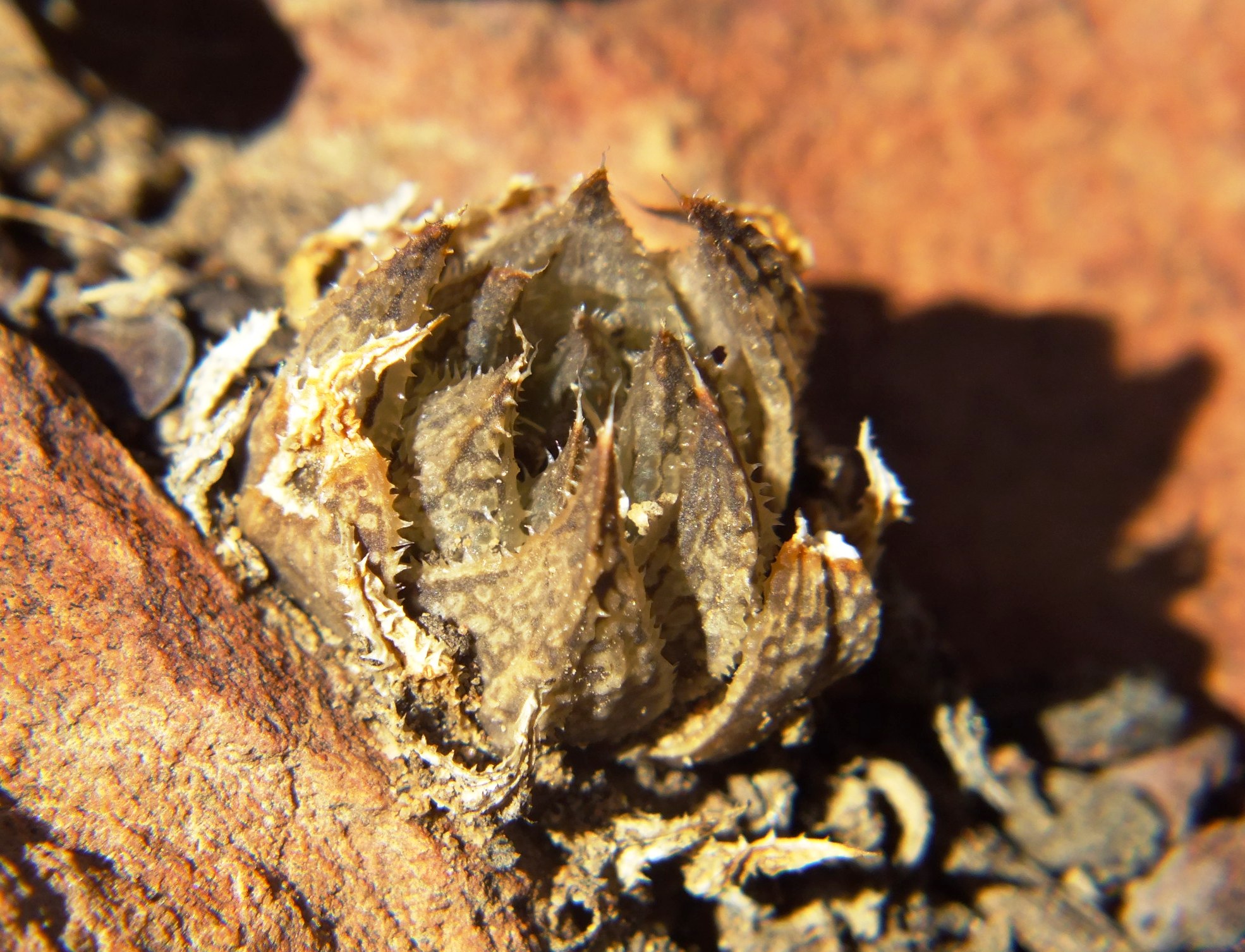
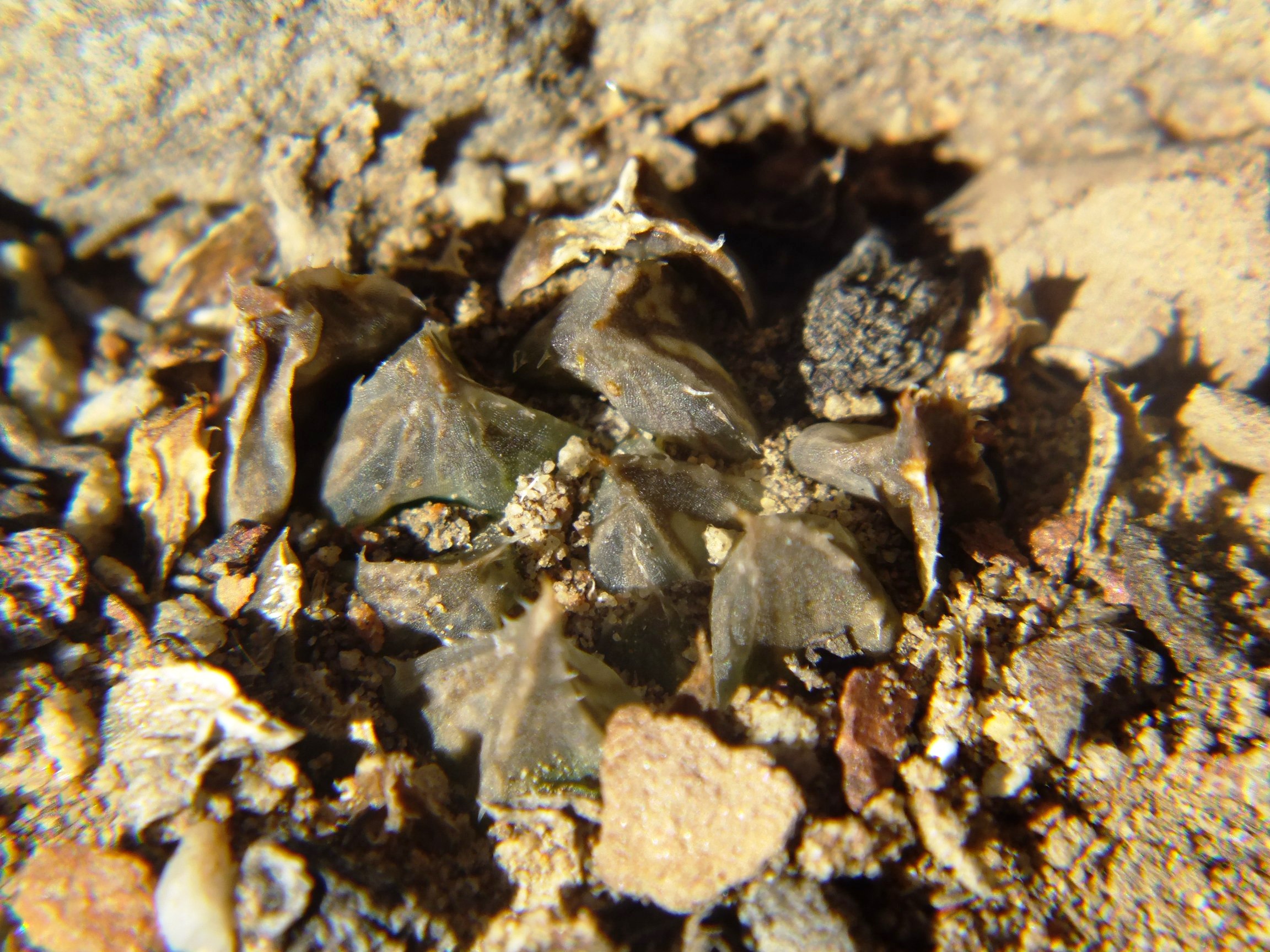
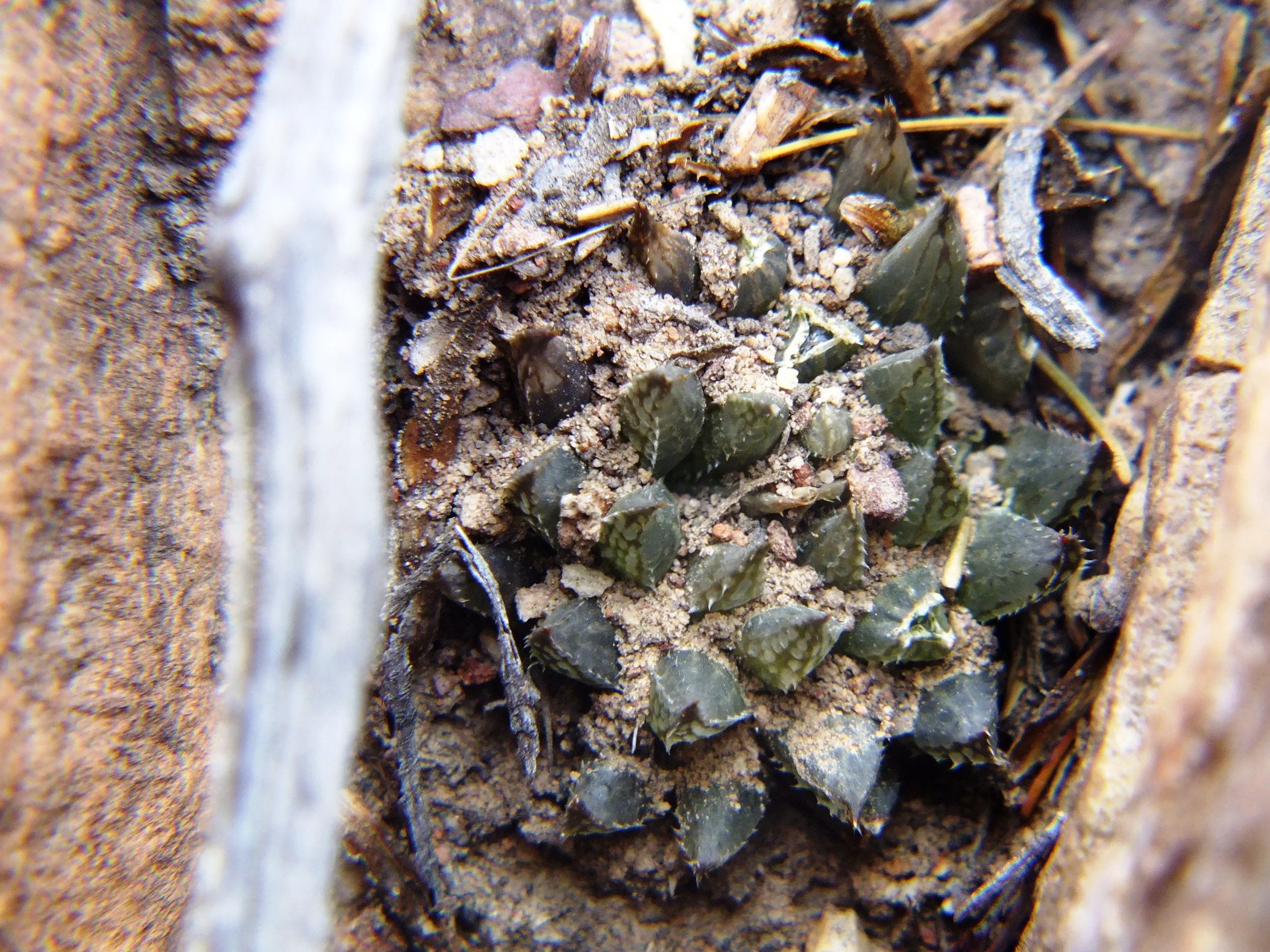
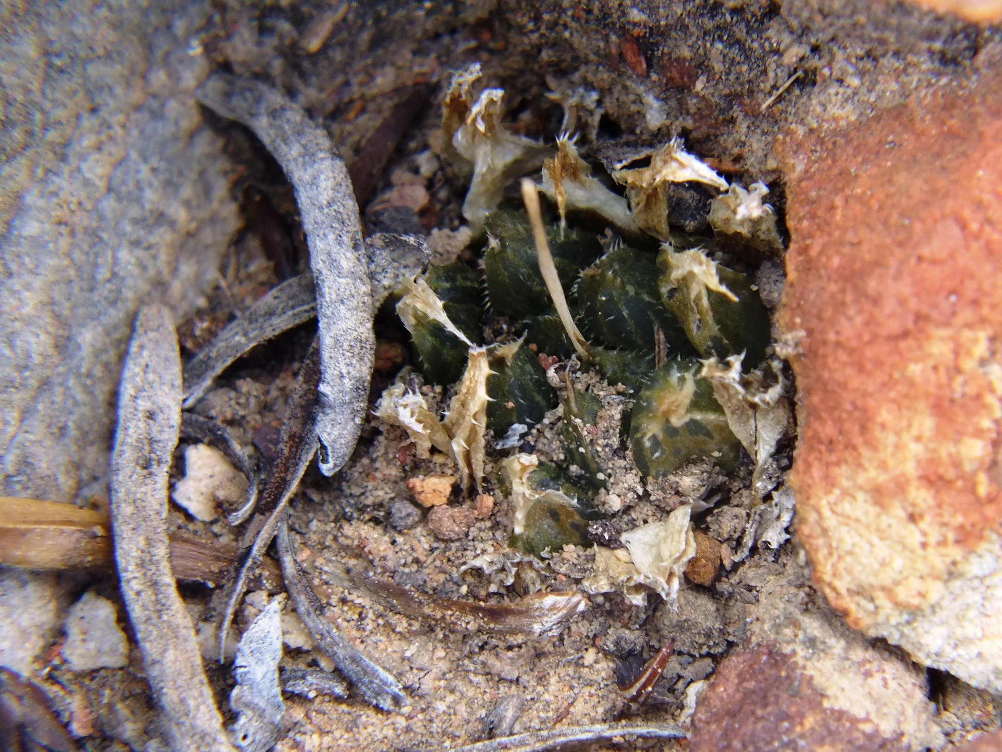
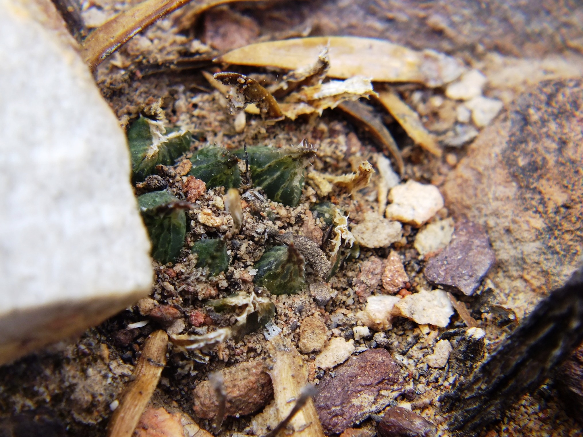
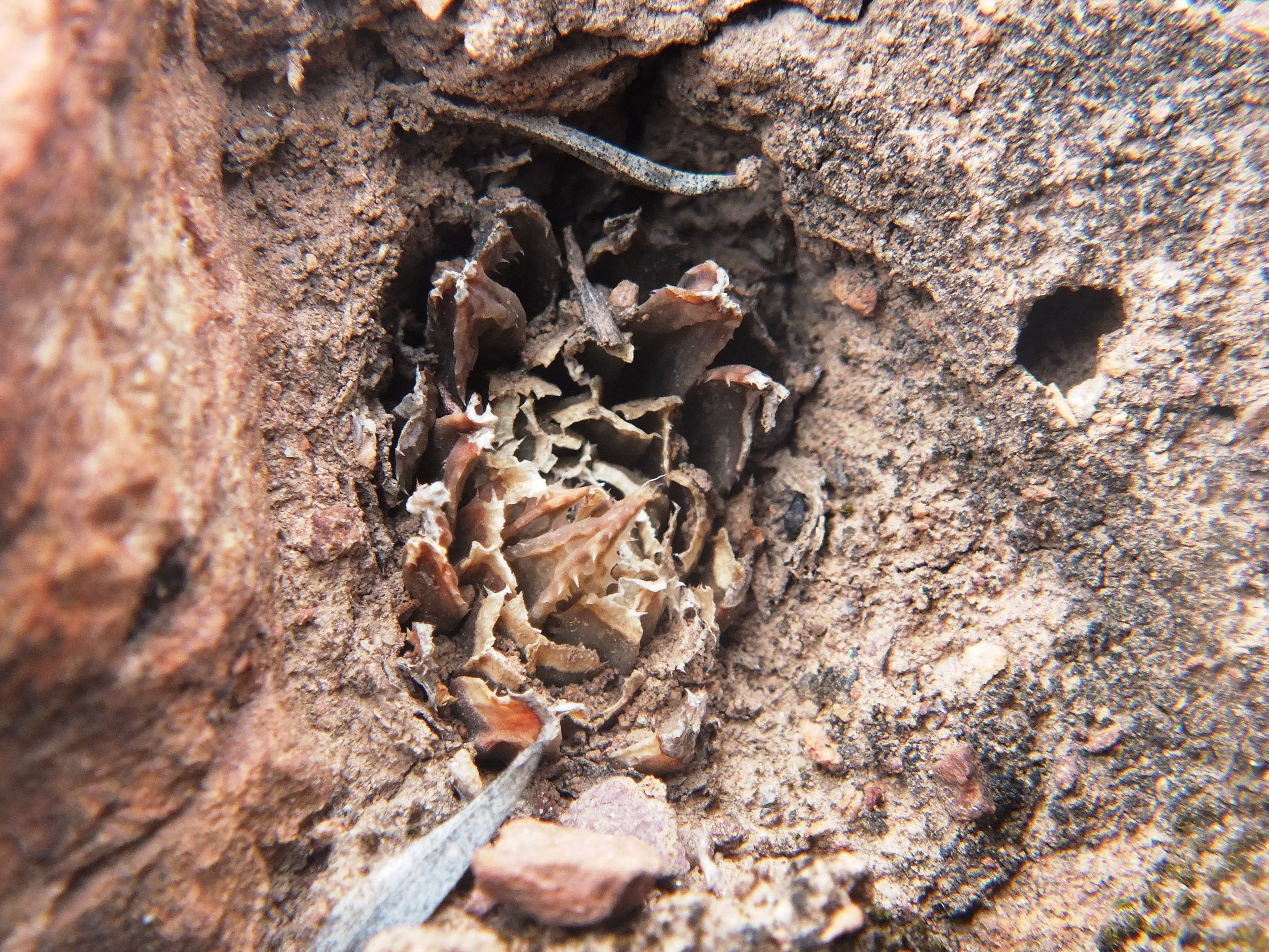
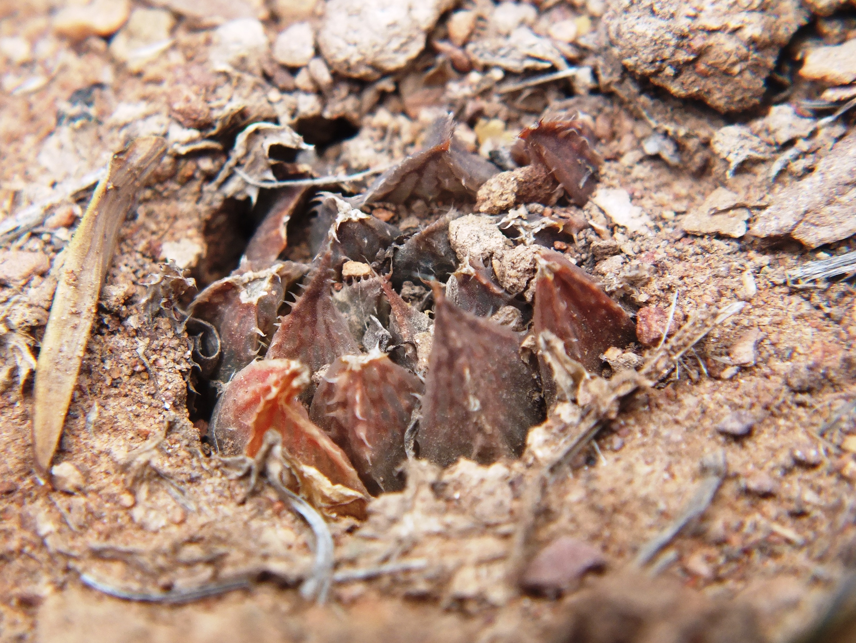
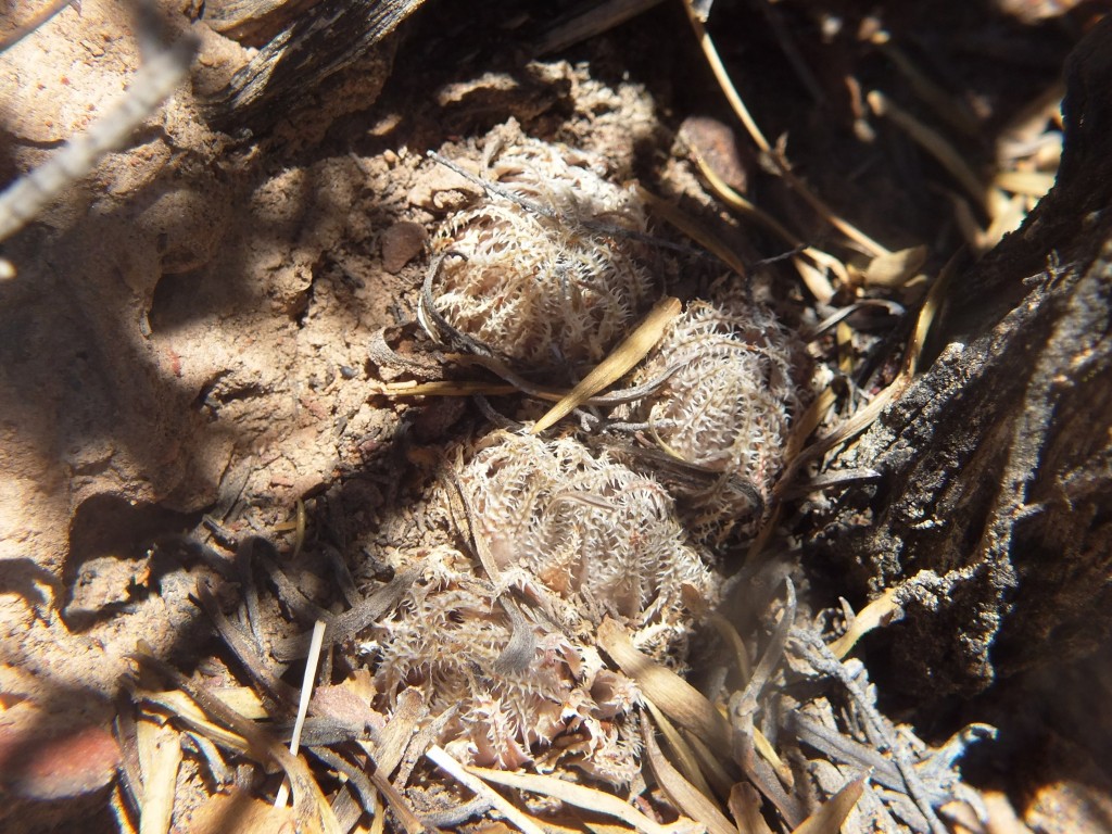
MBB7991 Moddergat above Ouhoekberg E, ex hort. single clone
From Updates Volume 9 Set 5 Bayer writes, “These populations were first observed as one on a higher eastern point of the Ouhoekberg above Moddergat in about 1975. George Lombard accompanied Kobus Venter and me there in 1996 and we found them on the western high point.”
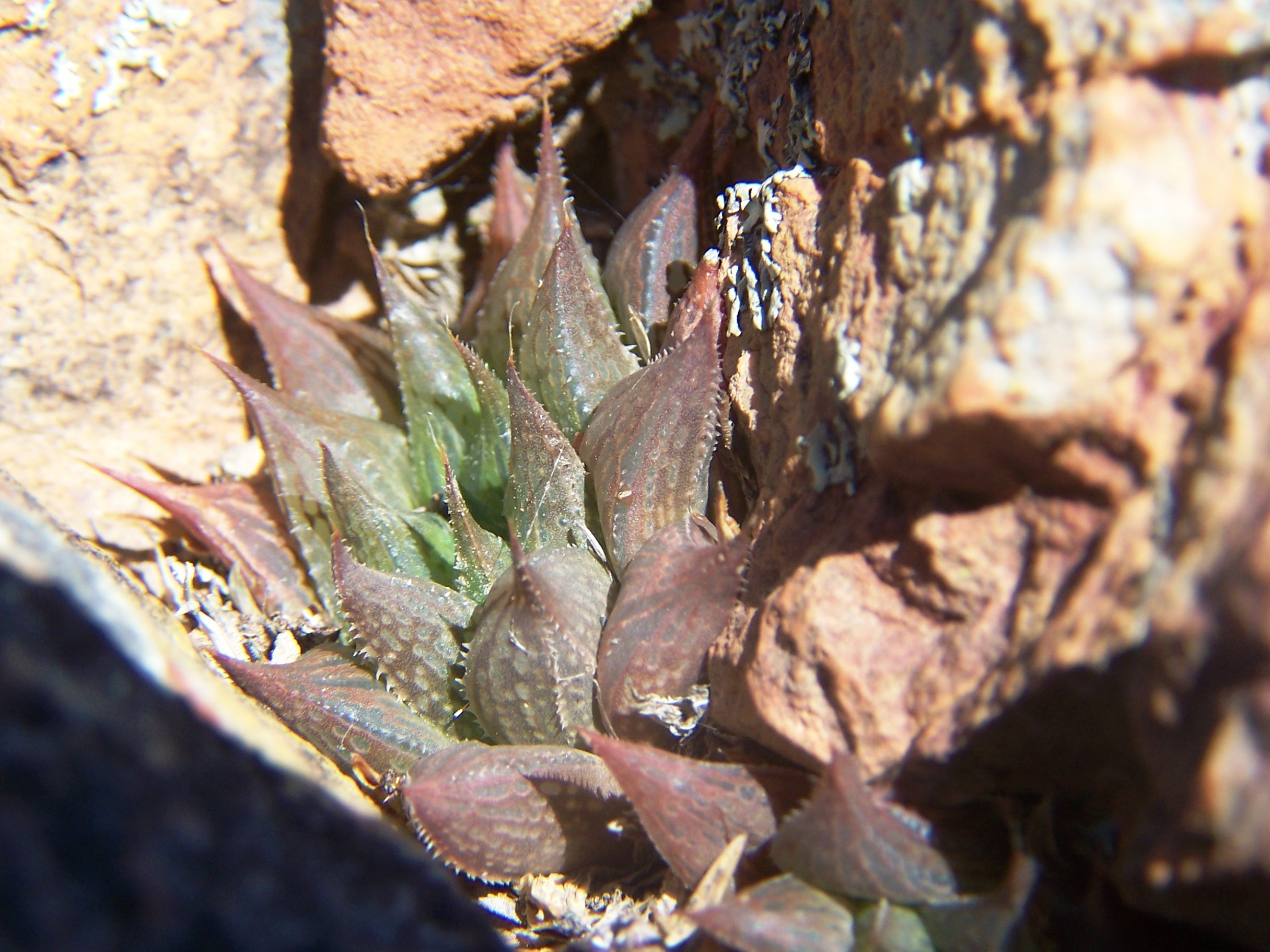
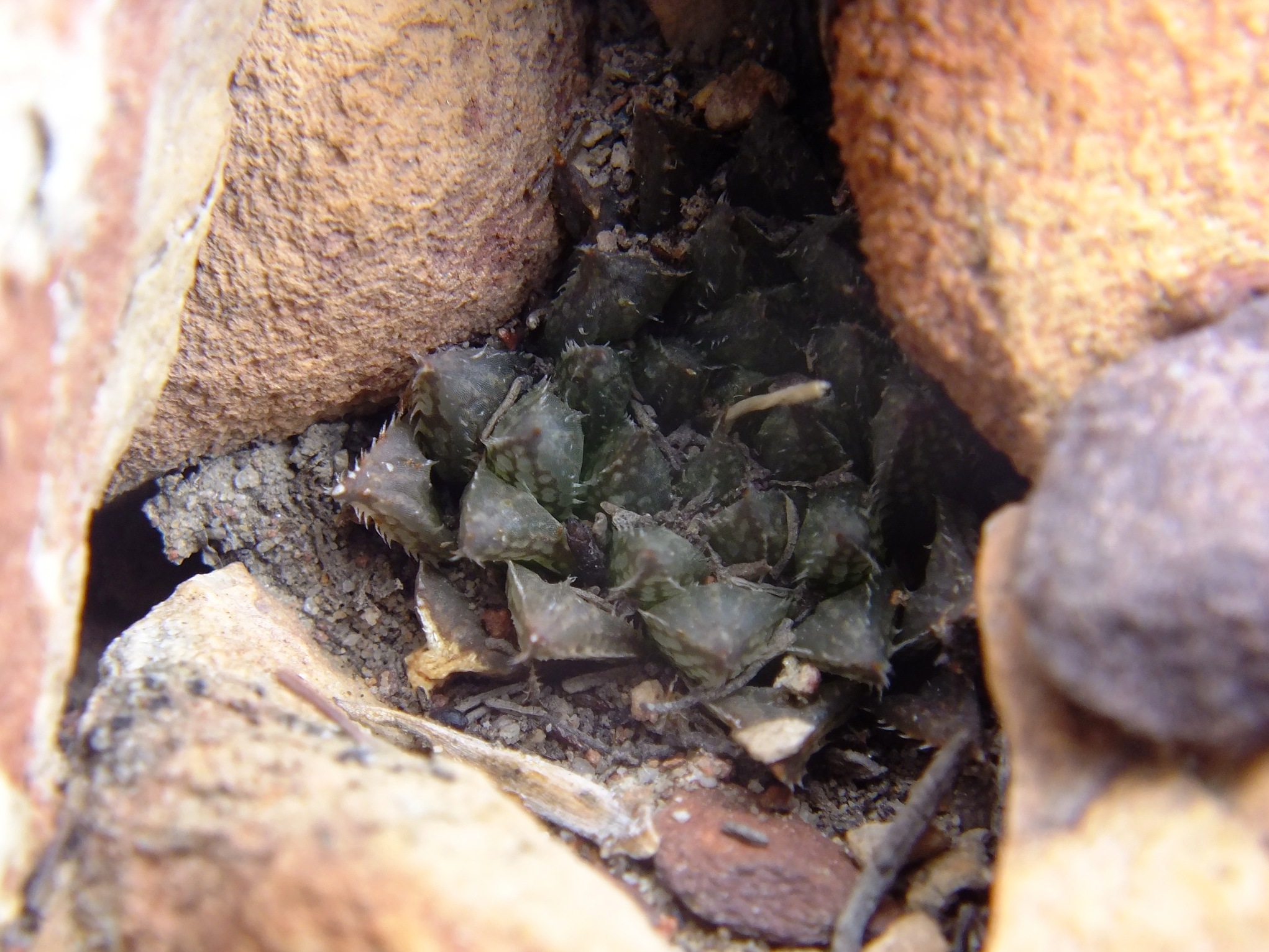
These photos were taken 20 December 2012 from a single ex hort. clone and hence consistency, but still illustrative.
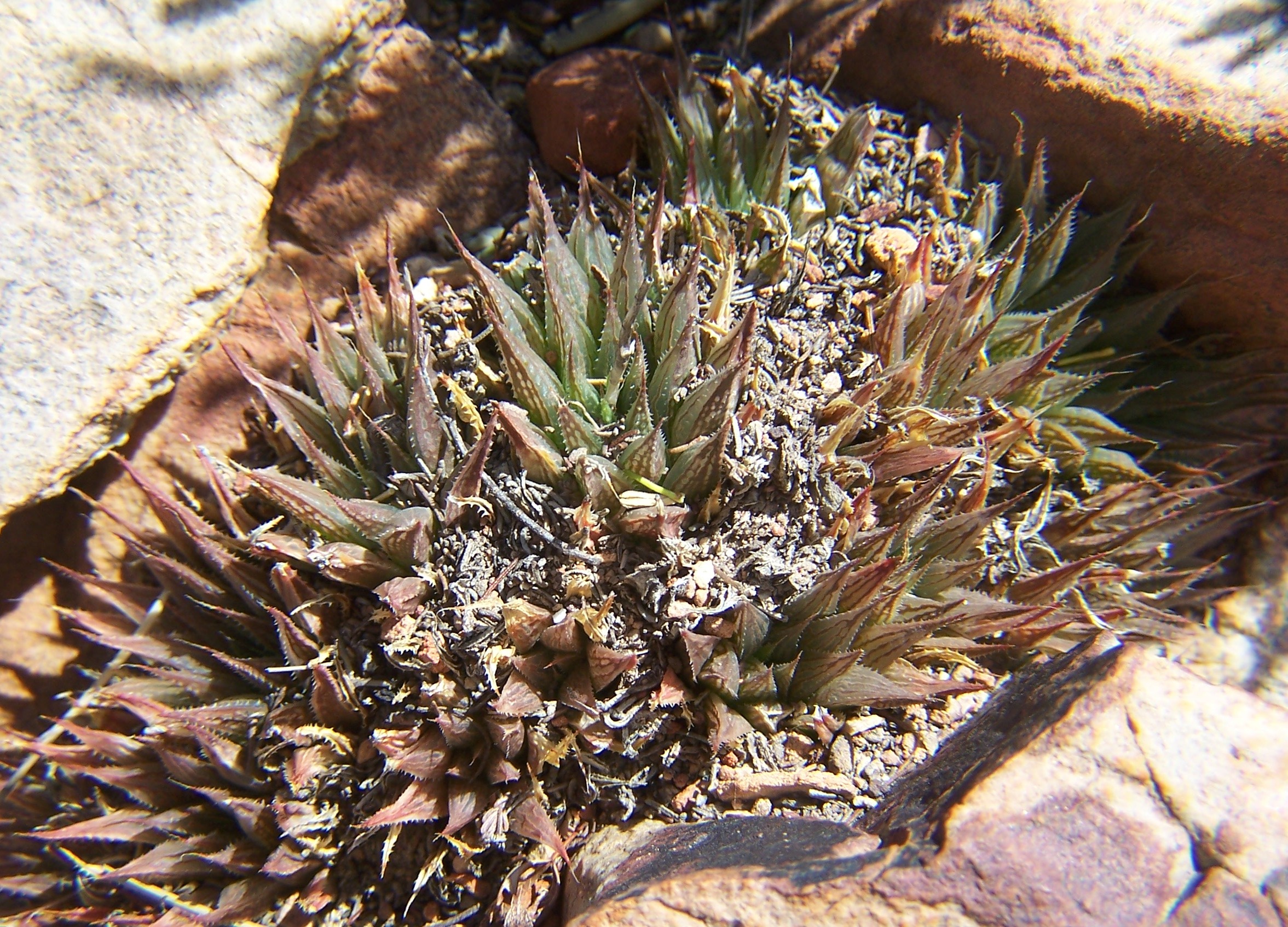
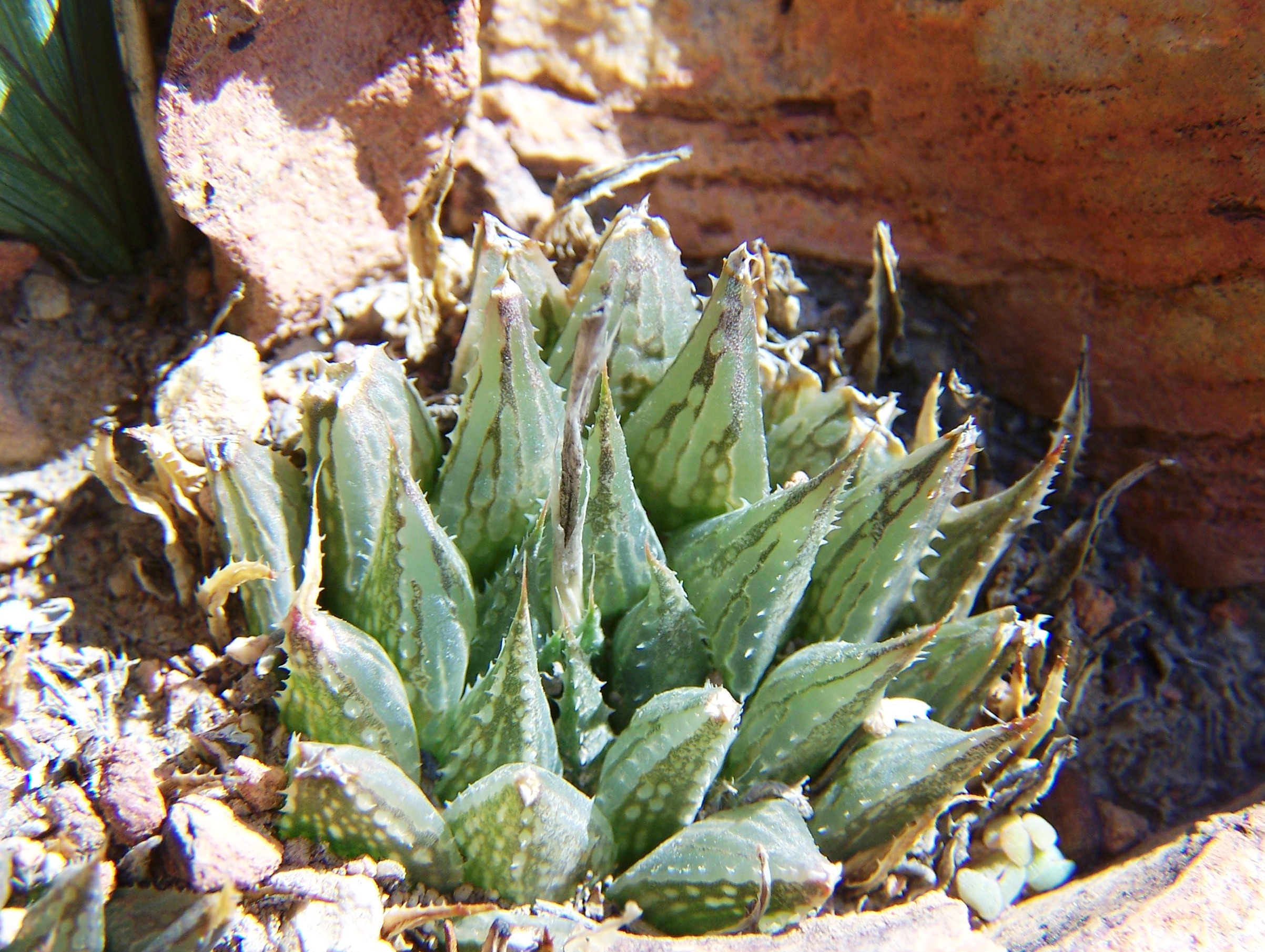
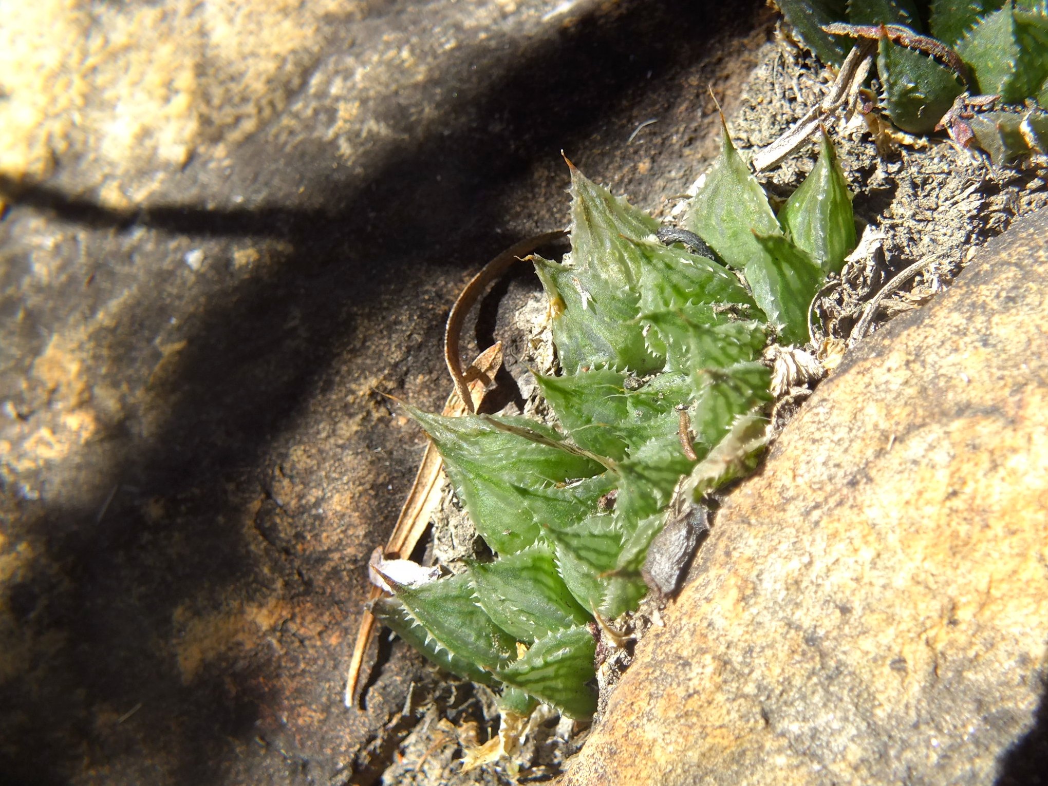
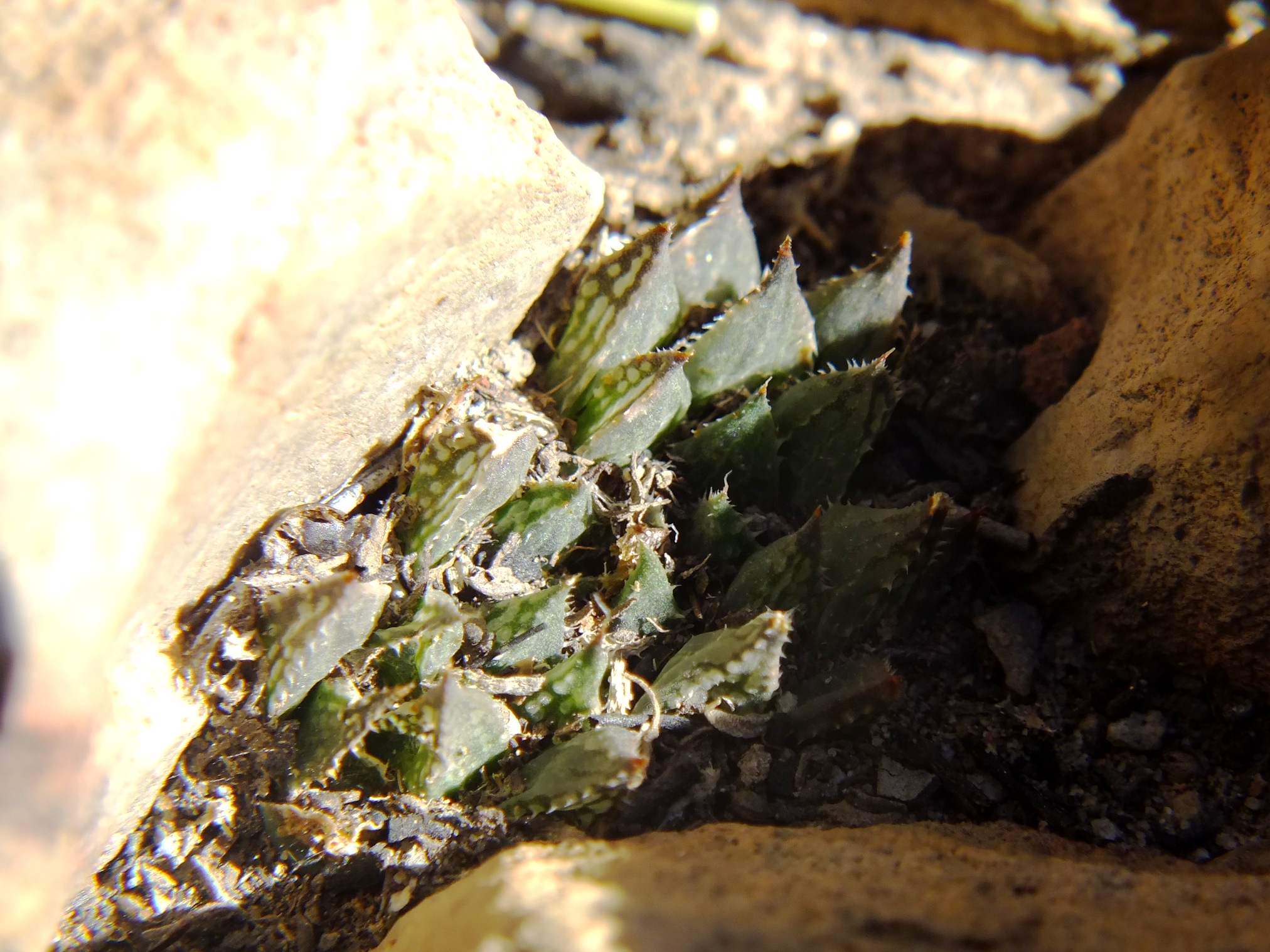
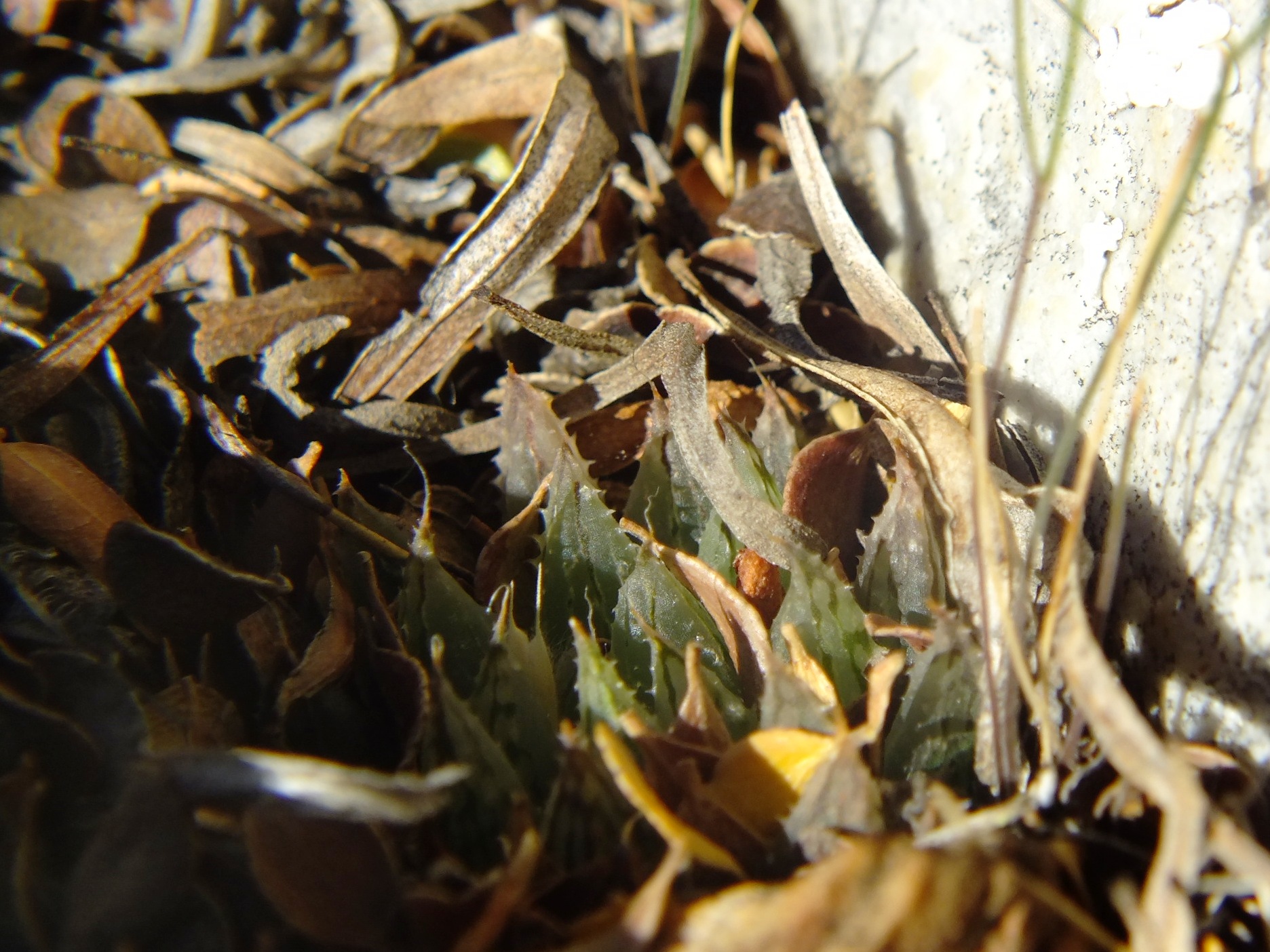
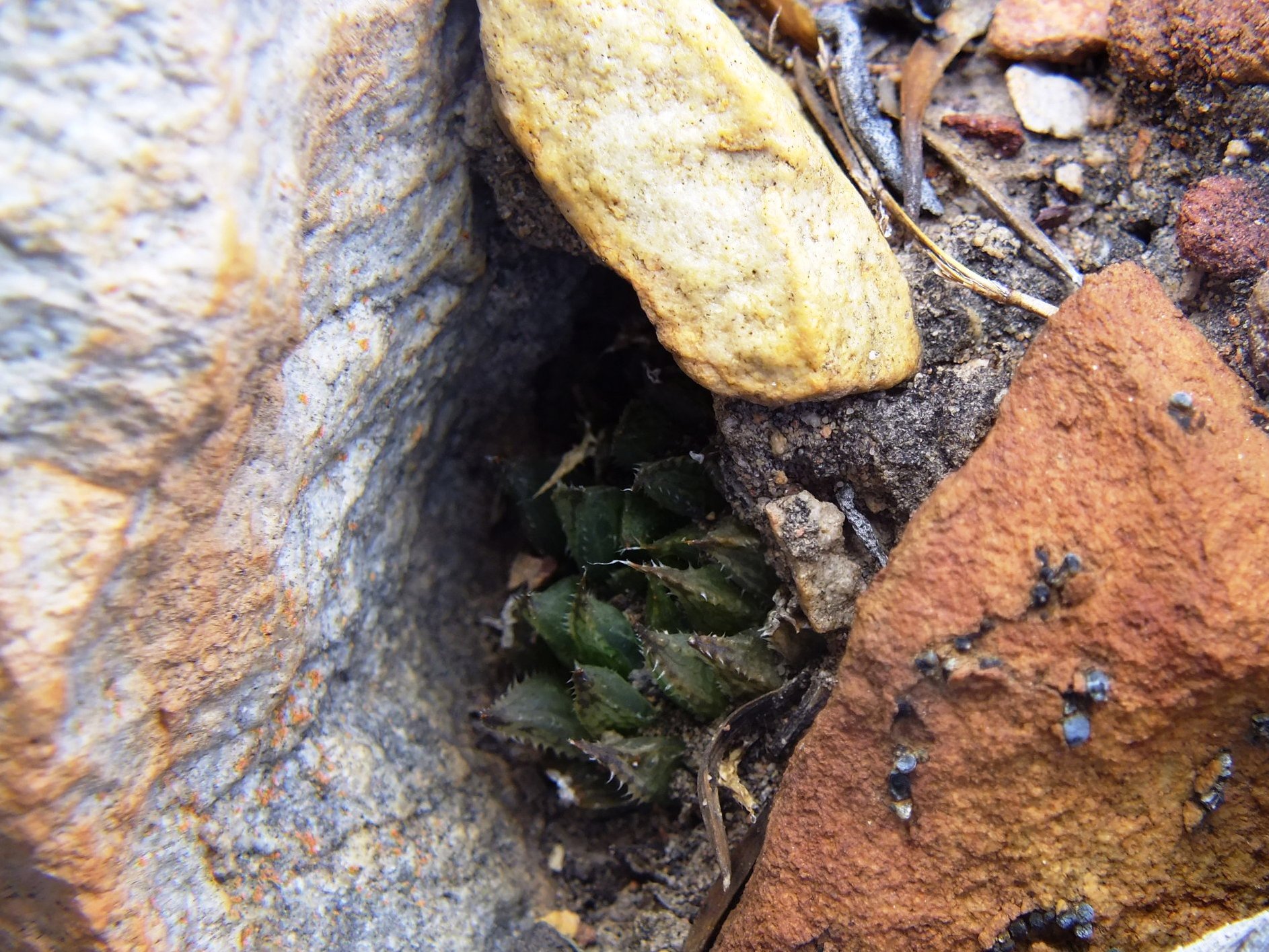
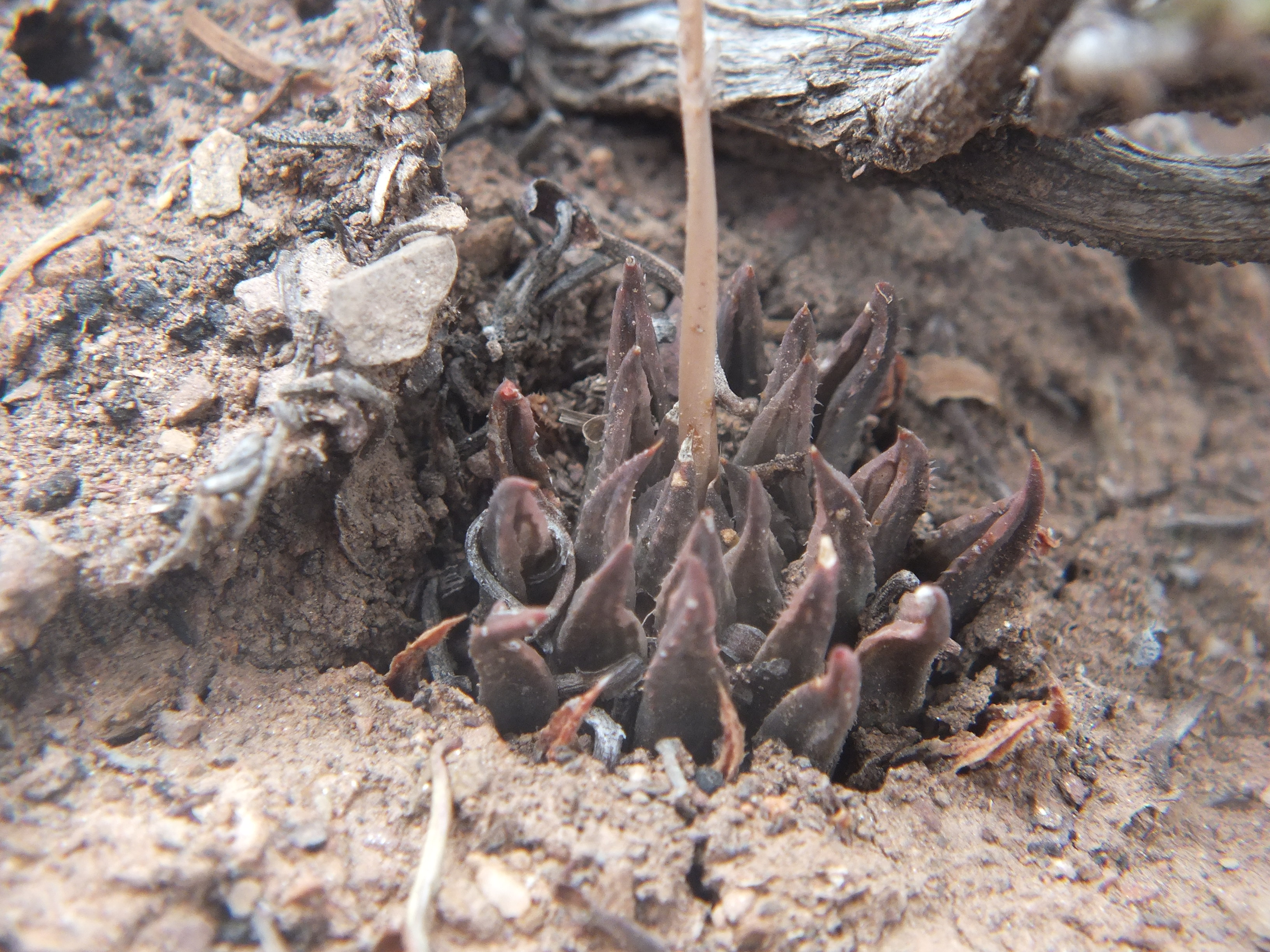
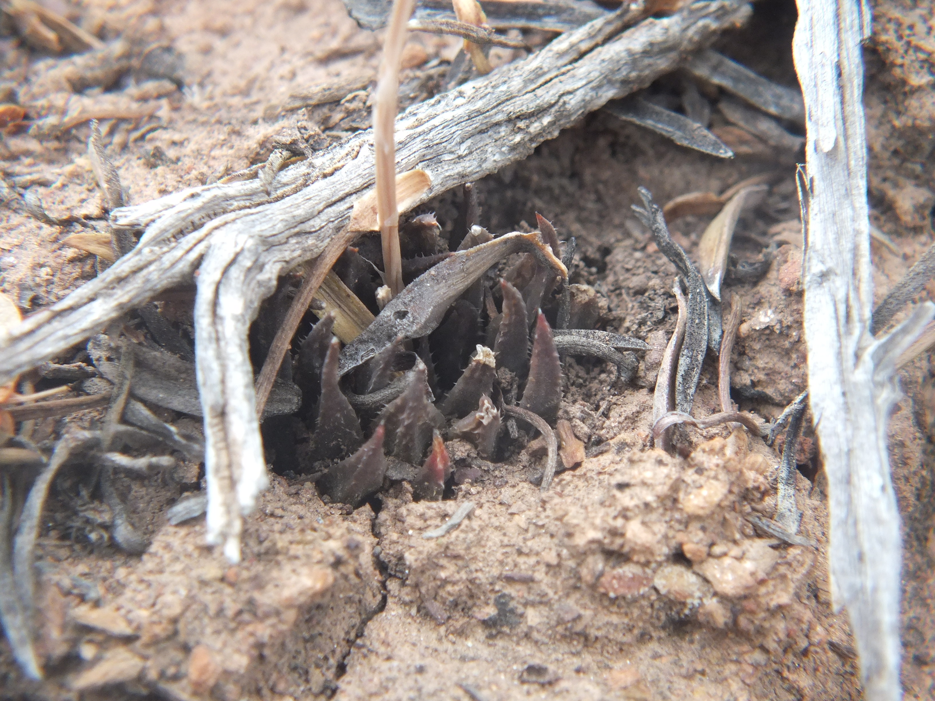
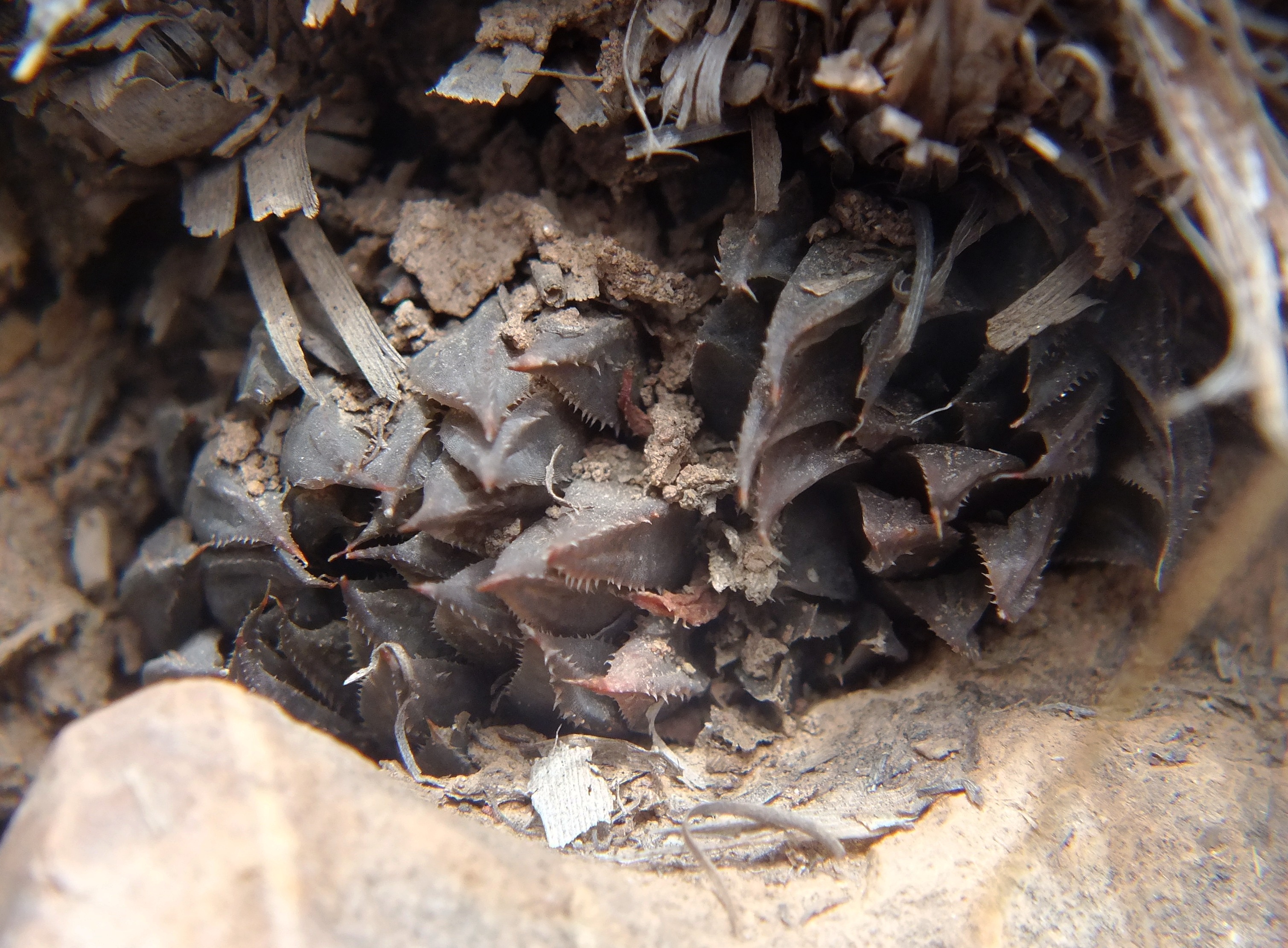
8034 Haworthia maculata ‘livida’, Ouhangsberg.
These plants occur in Pteronia communities on very dry and sparsely vegetated north slopes. The geology is Witteberg Sandstone but the particular strata the plants prefer seems to be a softer more erodible and less quartzitic stratum than they occupy at Lemoenpoort to the west. The plants appear to have flowered early in December coinciding with the flowering at Lemoenpoort and southeast Lemoenpoort. The two localities where we observed the plants are approximately midway between H. mirabils at Droogerivierberg to the east and Lemoenpoort to the west. There is no suggestion that they form any continuum and the flowering times are different.
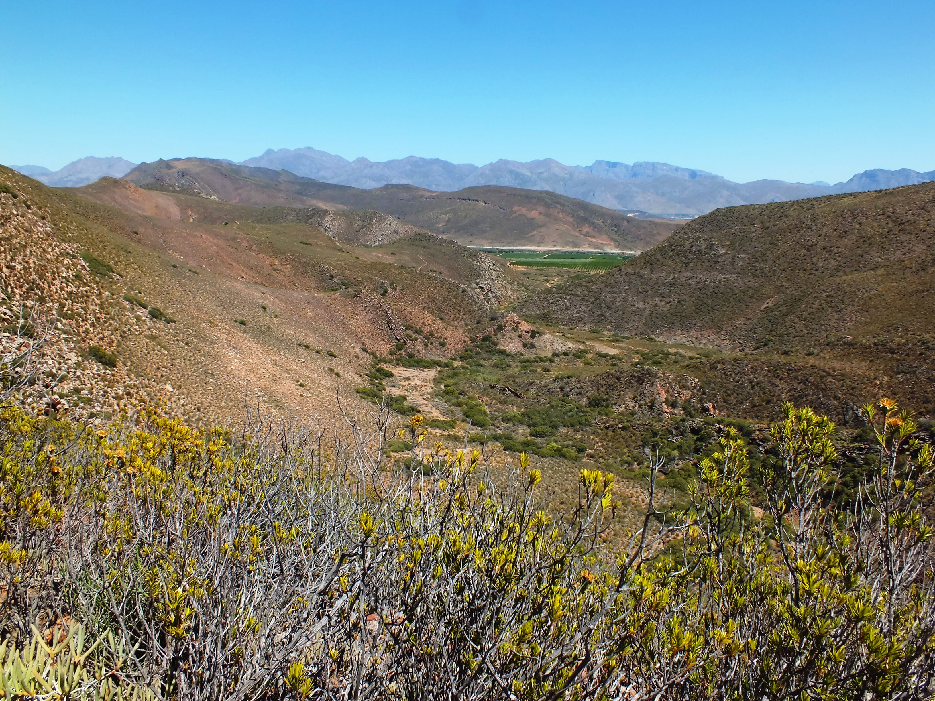
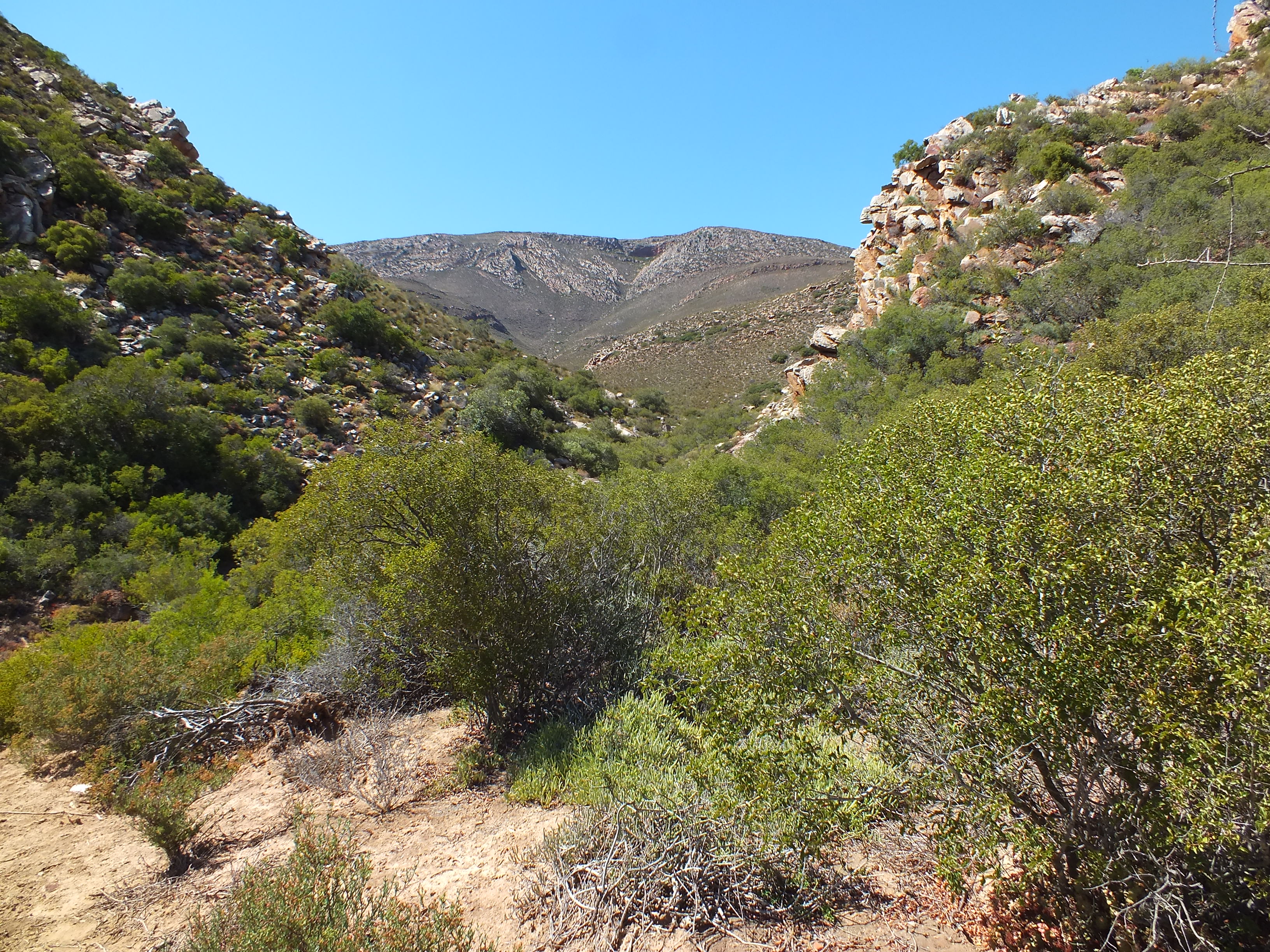
The name of the farm is Iminga Mountain Reserve, a large tract of quite non-arable countryside that is appreciated by the owner as her garden.
Acknowledgement – I deeply appreciate the freedom to explore Ouhangsberg granted by Ms Suzi Broomberg.
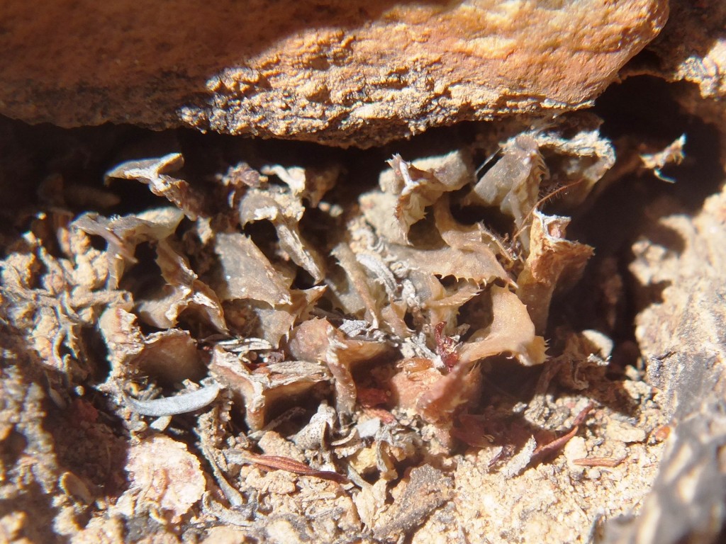
Following on from the 8034 record, we returned to explore still further east in a direct line from the 8034 localities to the H. mirabilis population on Droogerivierberg (see map). We found plants at the same altitude as we had observed H. herbacea on the previous visit. The plants were again very cryptic and hard to find. Flowering was also long past and the few capsules present contained very little seed. The situation with respect to habitat was a little different and these plants were just off a truly sandstone stratum and in a narrow band of renosterveld. H. herbacea was within 50m of the nearest H. maculata in a more karoid vegetation similar to that where we had seen H. maculata on the previous visit. This is difficult to understand. Southeast of the Brandvlei Dam, H. herbacea occupies habitat where one would expect to find H. maculata. But it does not do so in the Ouhoekberg nor Hammansberg. Here north of the Ouhangsberg there does not seem to be a visible difference in the choice of habitats for the two species but they cannot be said to truly co-occur i.e. grow together in such close proximity that they intermingle.
The spatial relationships of the various populations are now quite significant. The spread from localities east to west on the map is 5.23km. The distance between known H. mirabilis and nearest known H. maculata is nearly 1.5km. There is no indication of transition and present evidence is that there is no continuity between these two species. There is however still that space between to explore as well as a massive valley south between the two populations in question.
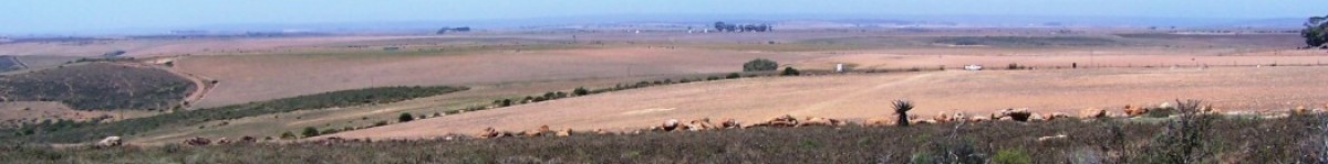
Fig. 1 Image of Iminga Mountain Reserve.Fig. 2 Westwards towards homestead.Fig. 3 Below locality at fig 2, southward.


