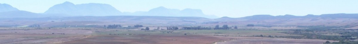
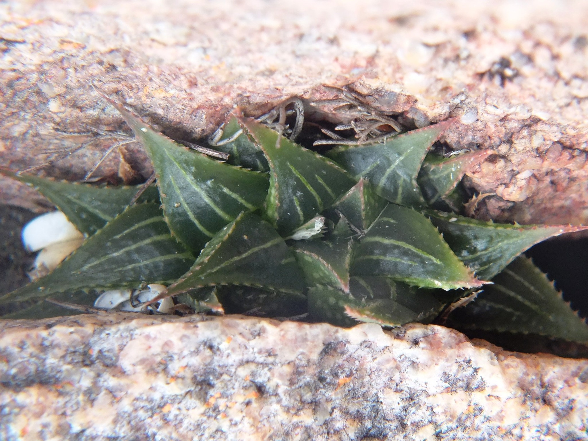
The myth of heidelbergensis has dissipated to the west and north and morphed into others, so let us go back down the Breede River and see what mirabilis holds for us in that direction. There’s a gap that I haven’t explored, the 20km stretch of the Breede River as it twists and turns south of Swellendam. The next two populations are south of Malgas, east of the river.
Here are more from the east bank of the Breede River south of Malgas. Note that the populations on the west bank all along the northern lower reaches of the Potberg are incredibly complex with names like joleneae, bobii confounded with atrofusca, floribunda, variegata, turgida, and mutica.
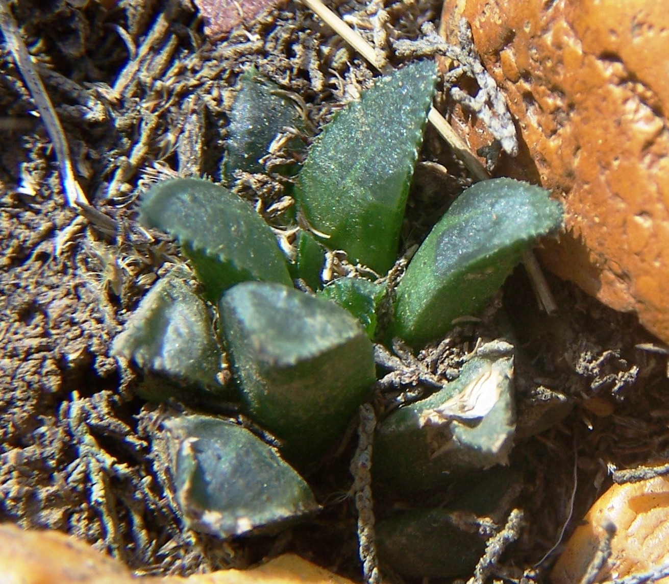
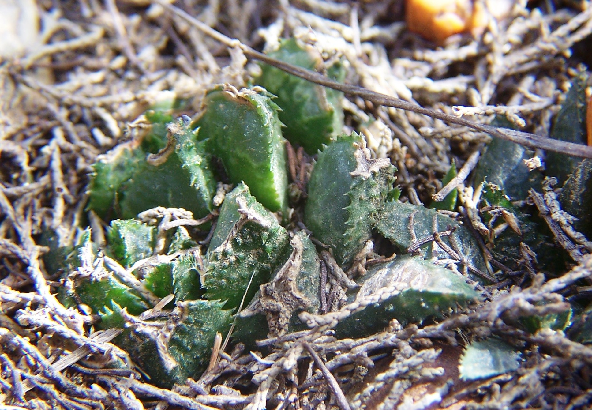
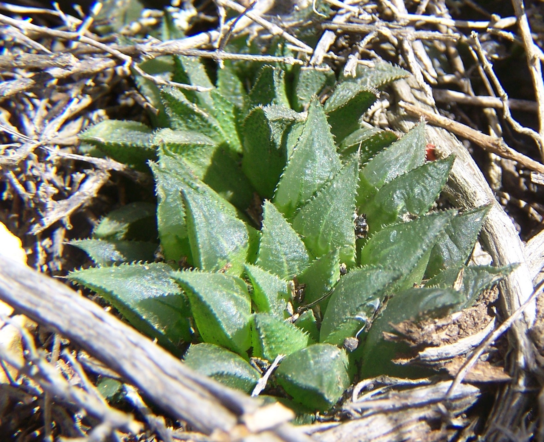
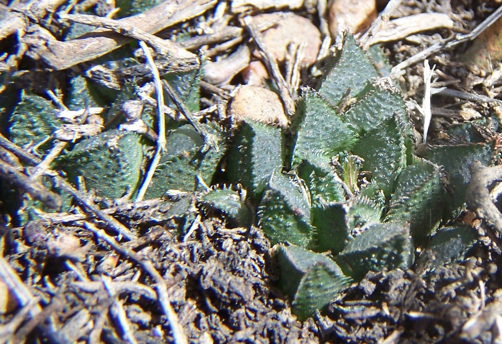
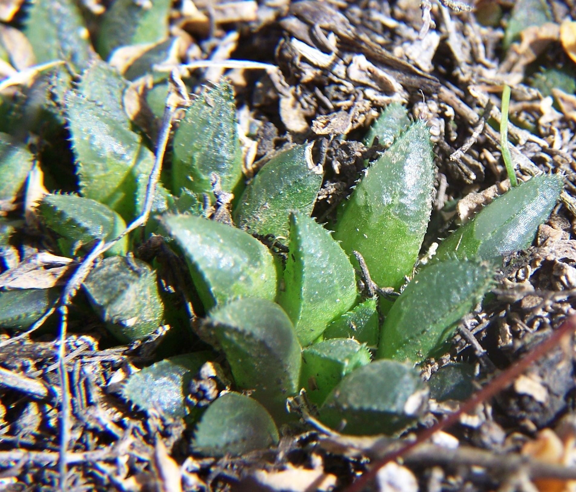
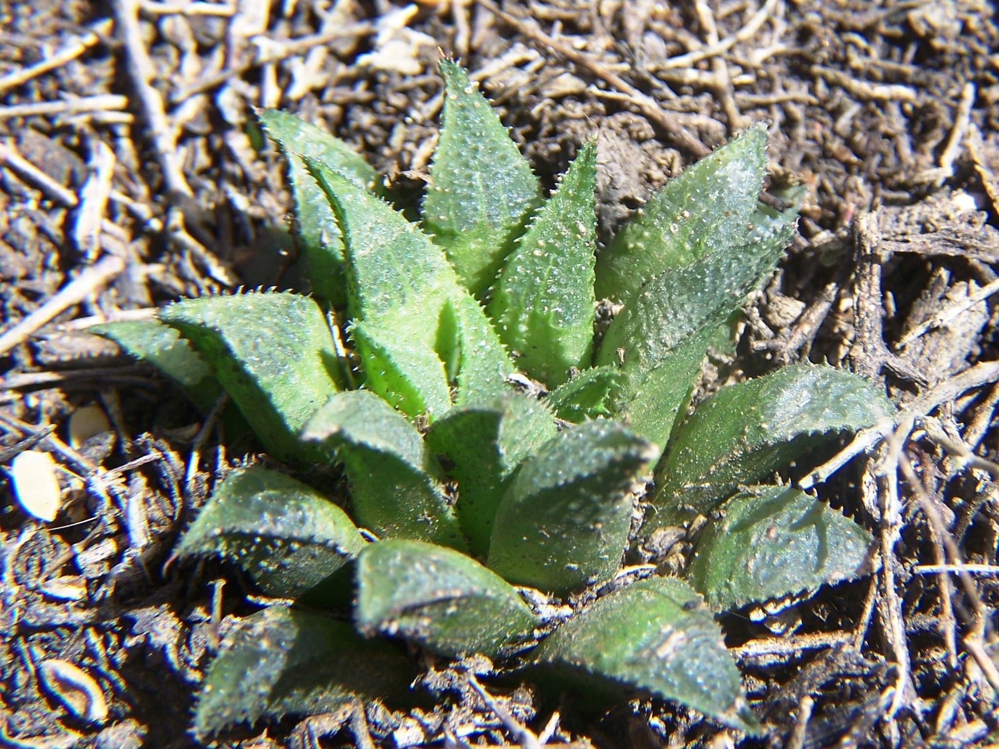
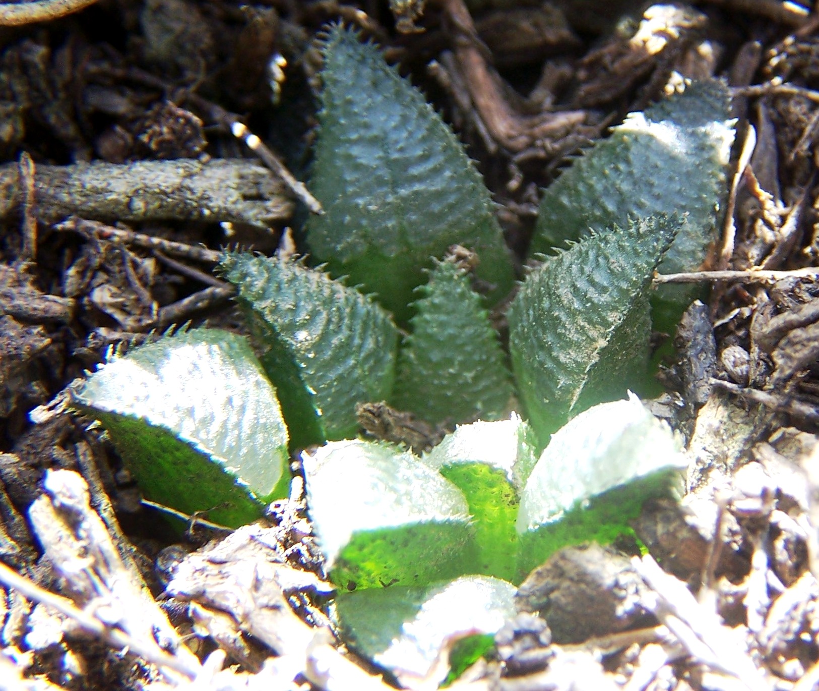
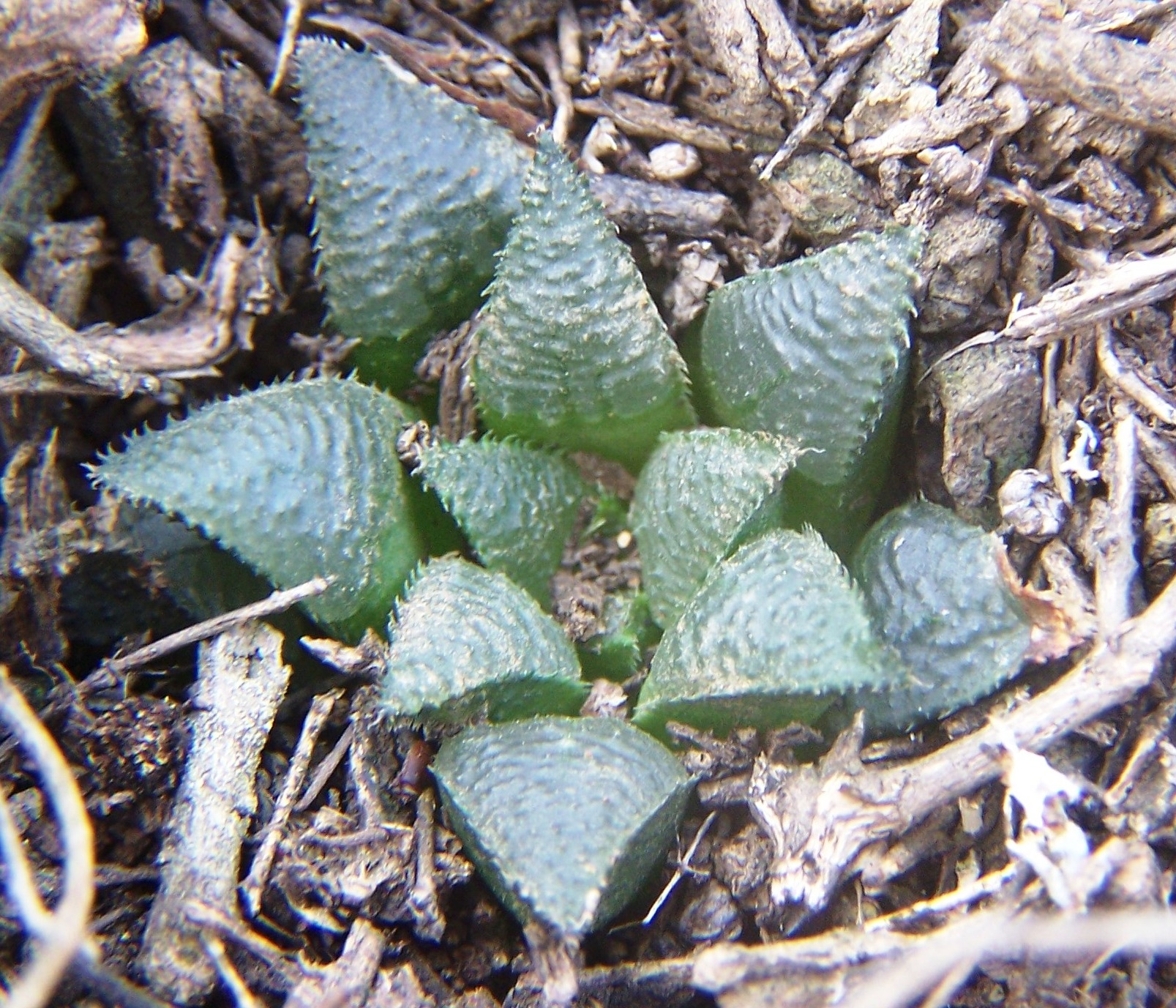
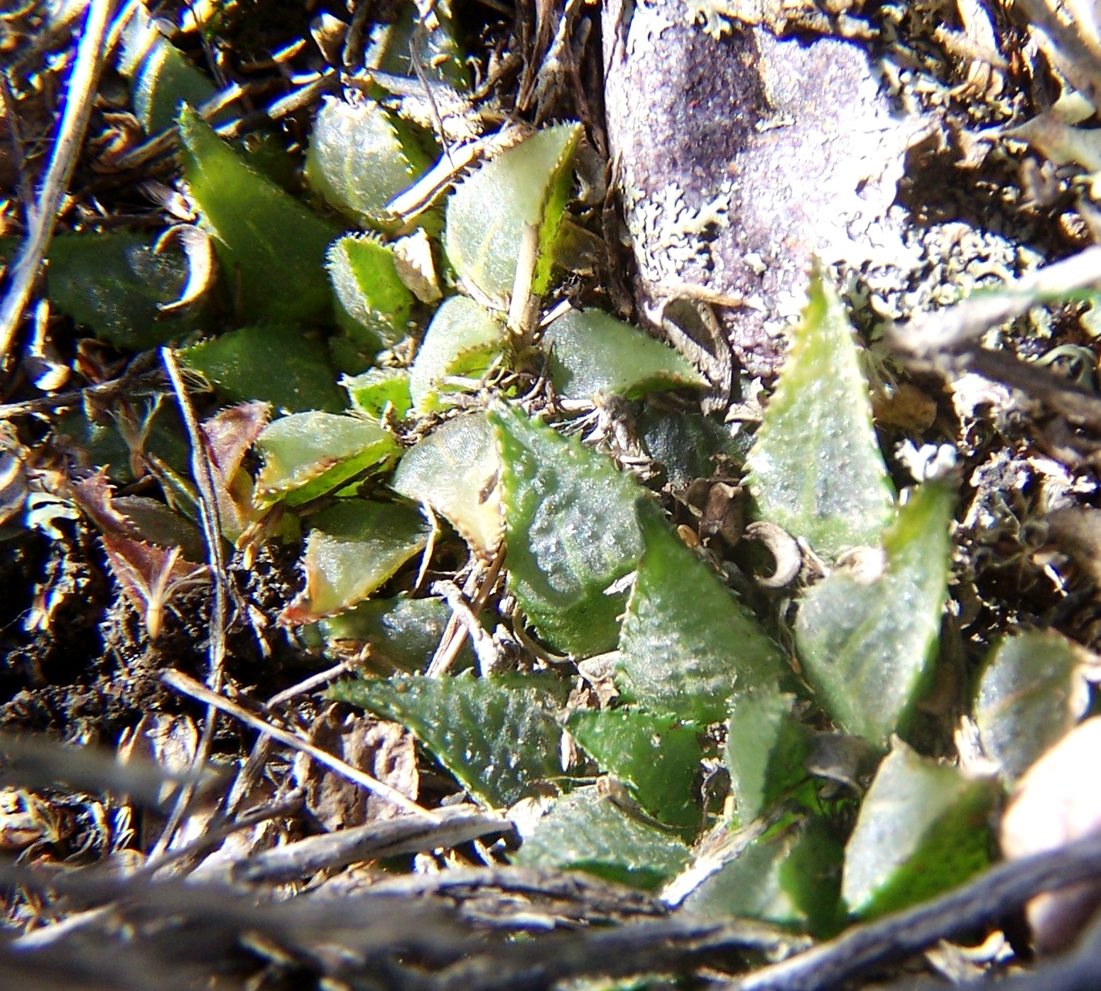
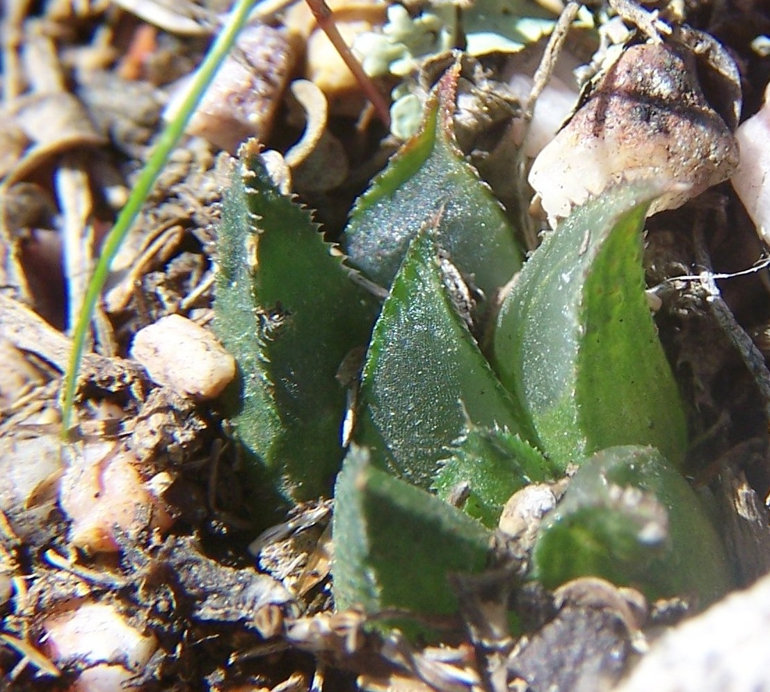
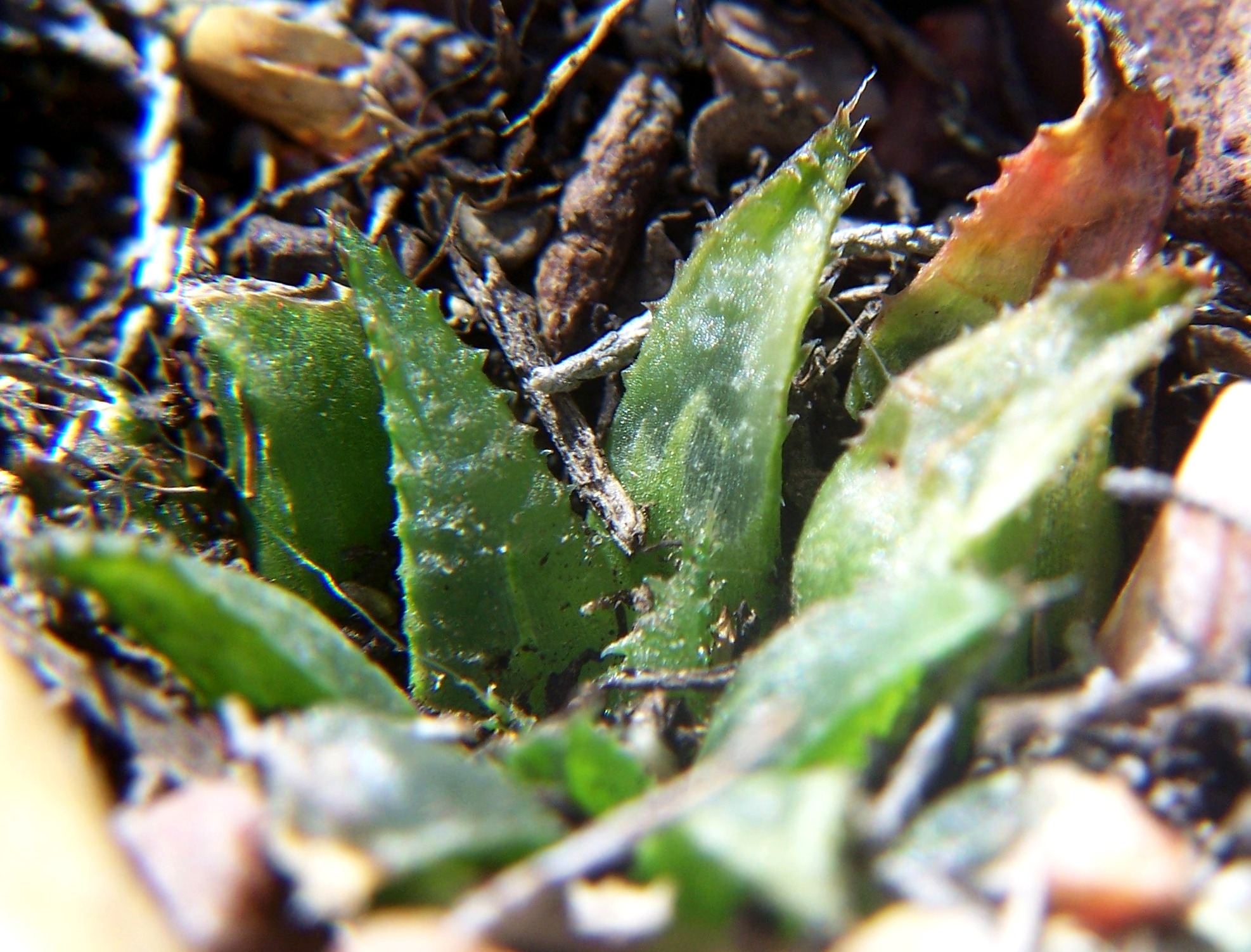
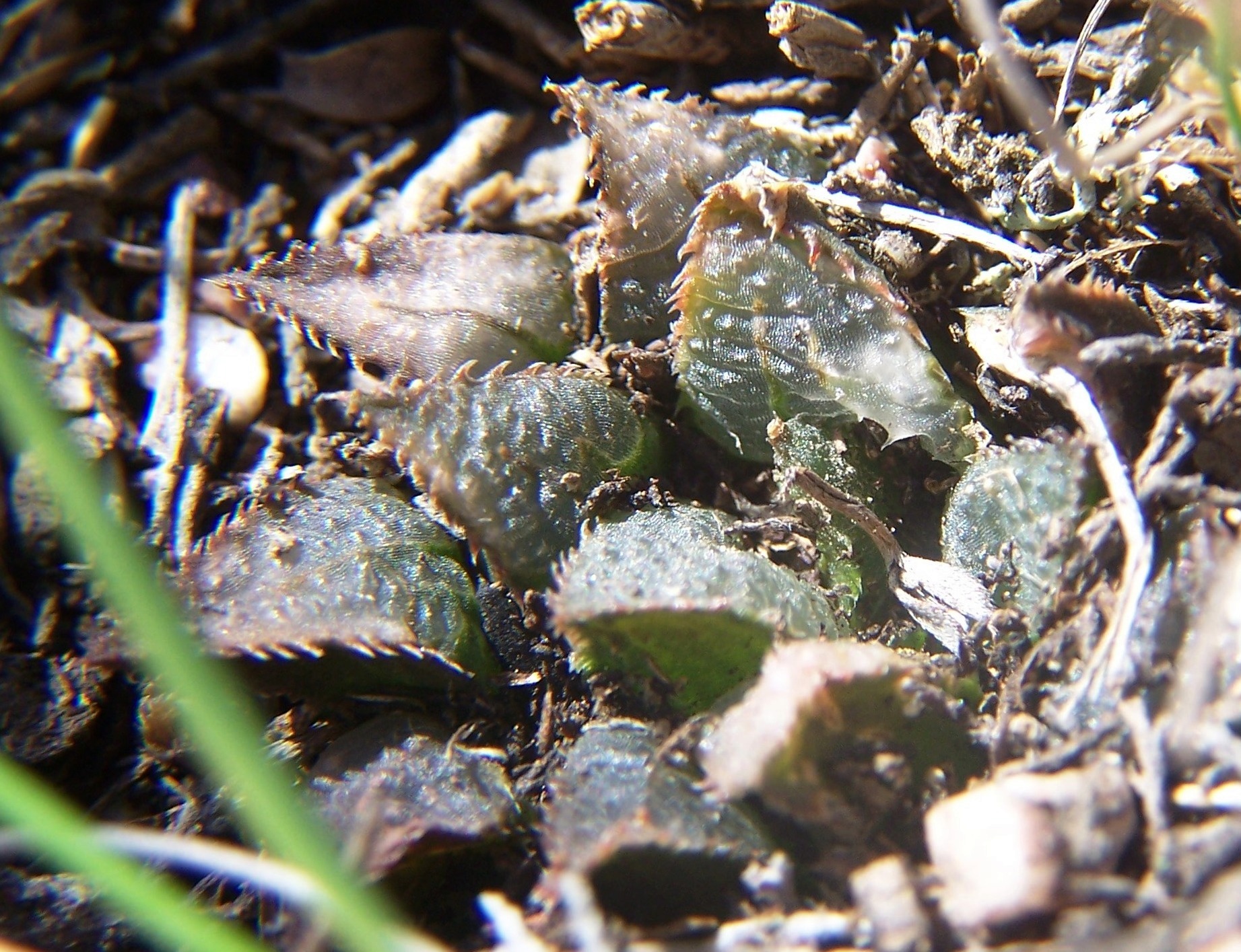
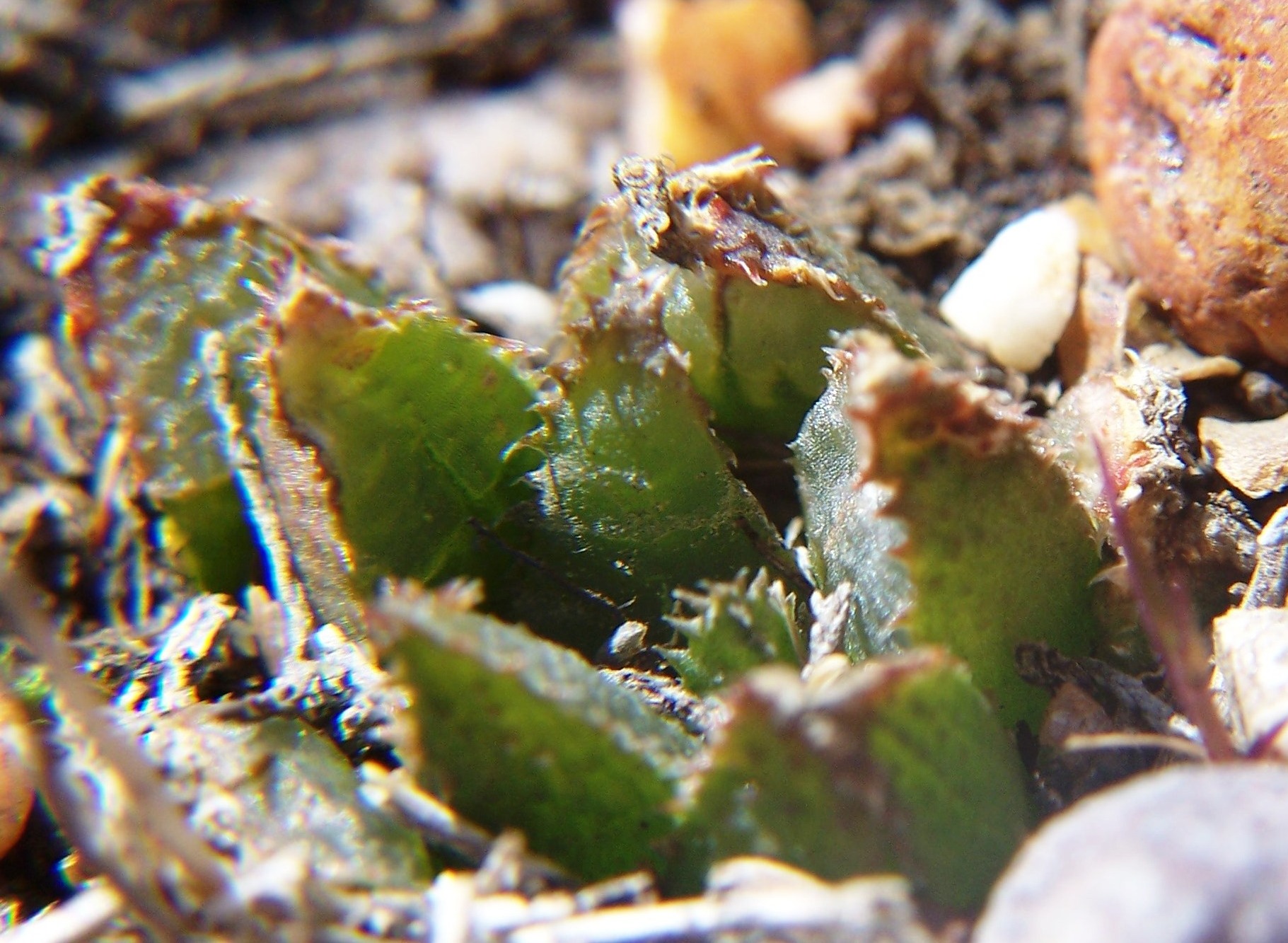
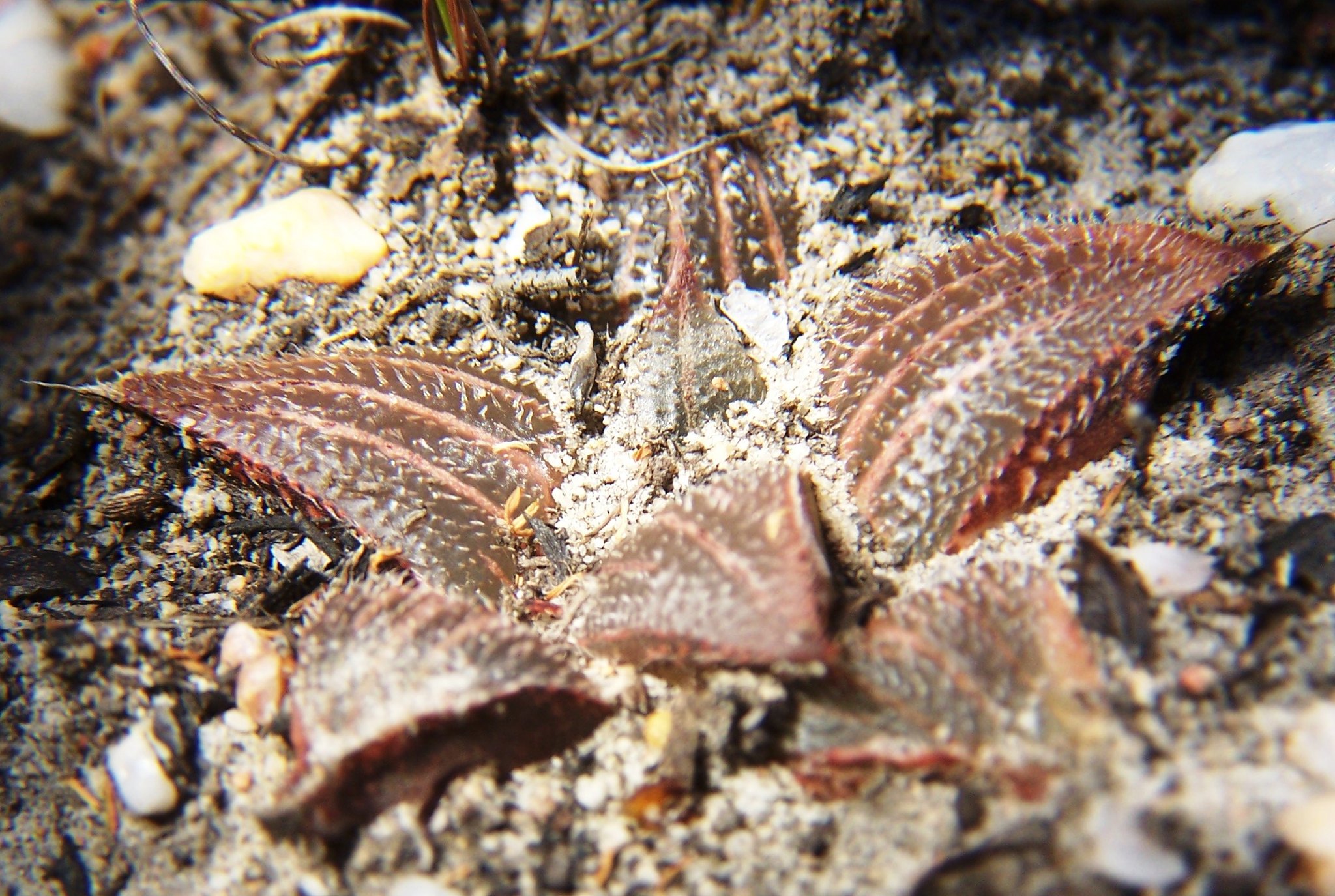
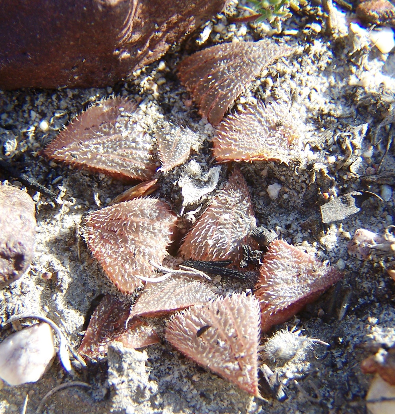
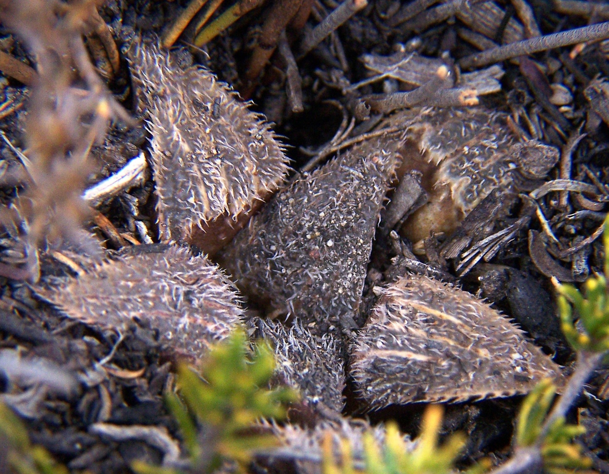
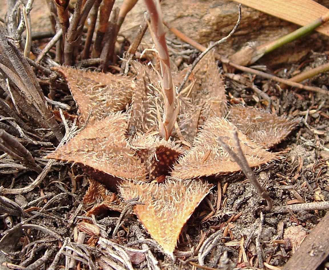
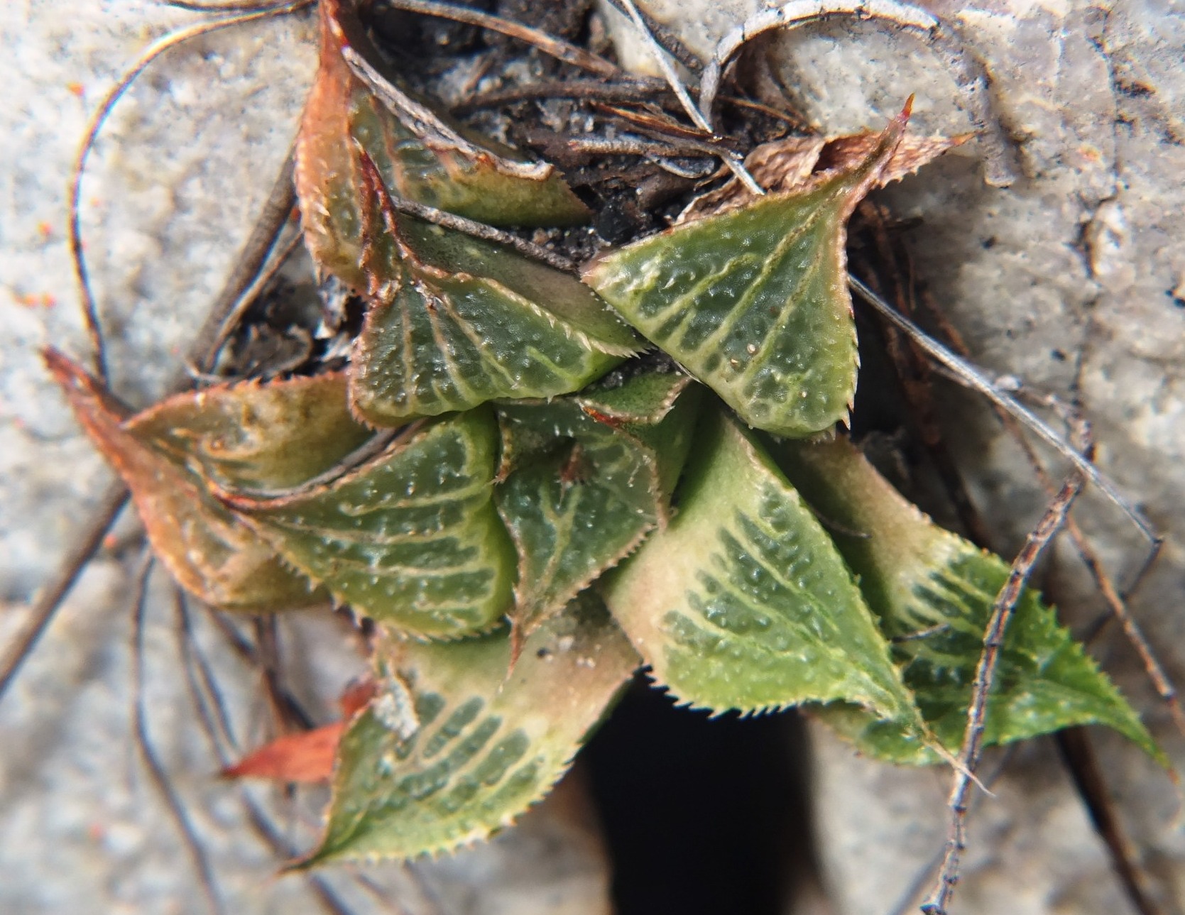
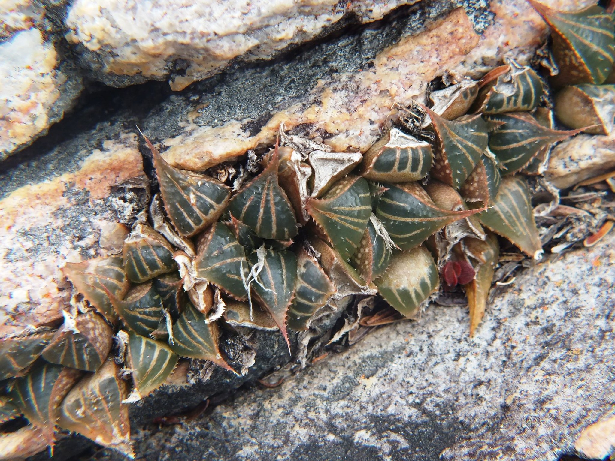
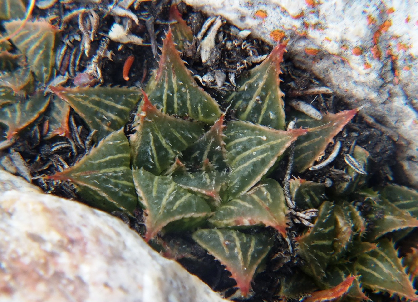
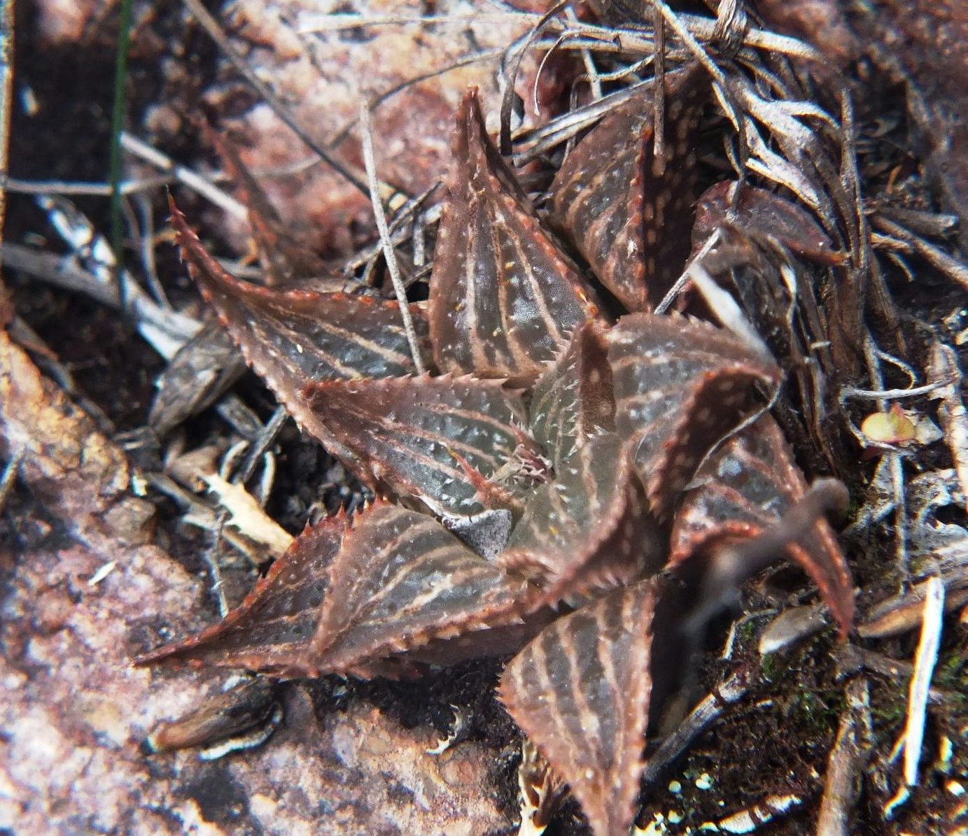
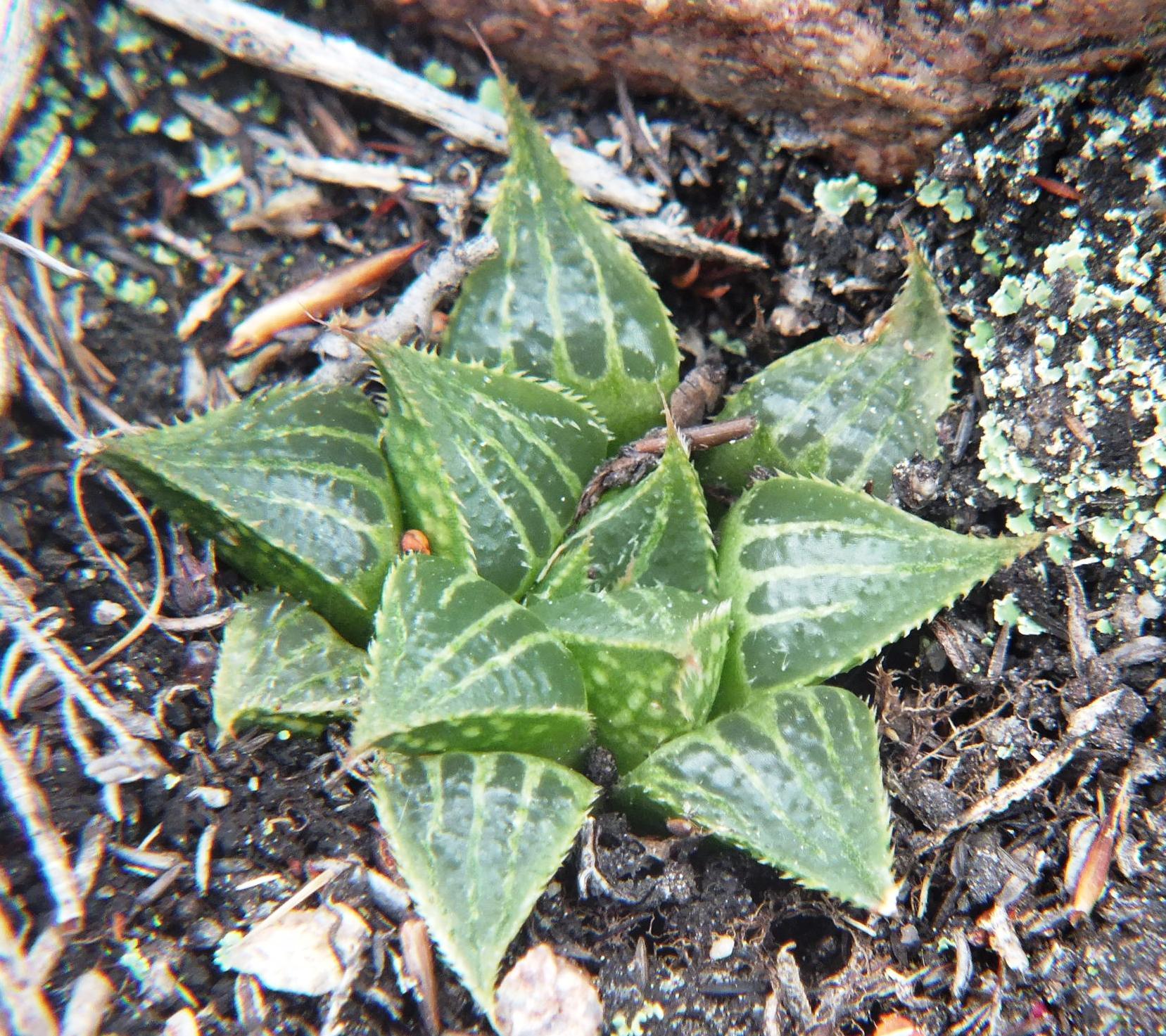
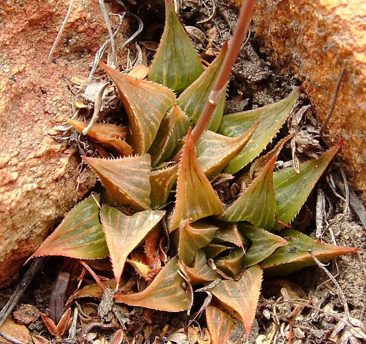
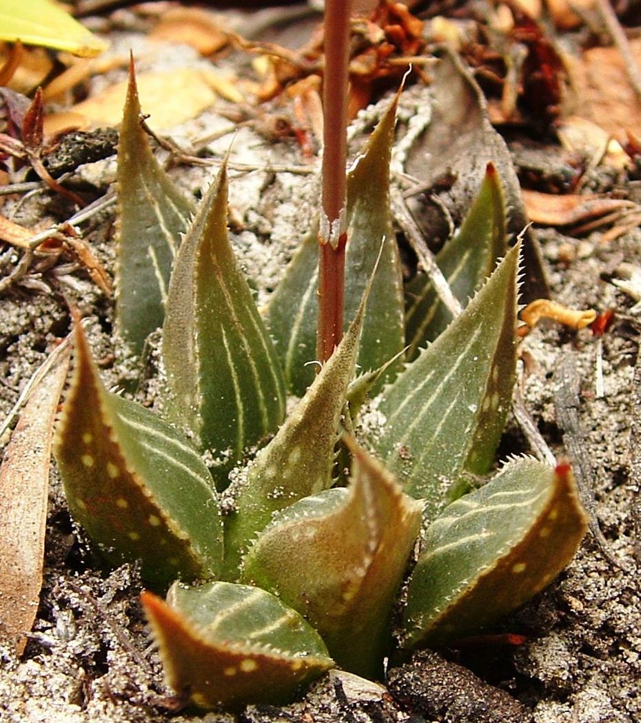
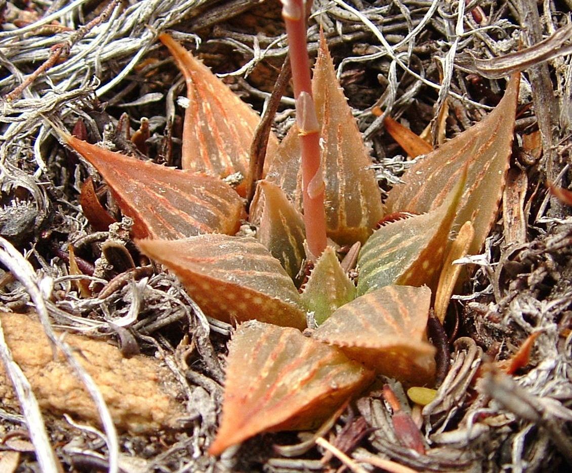
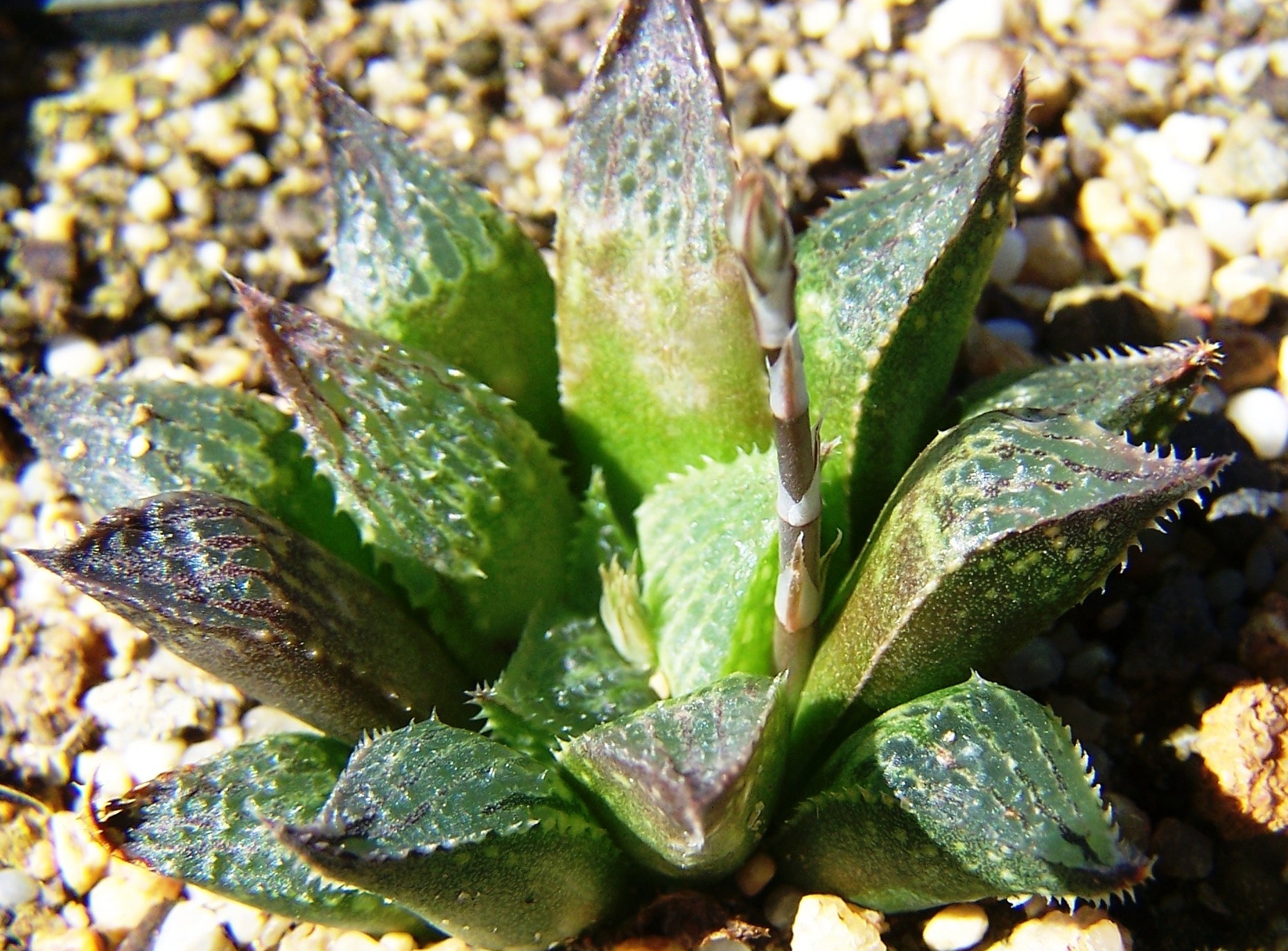
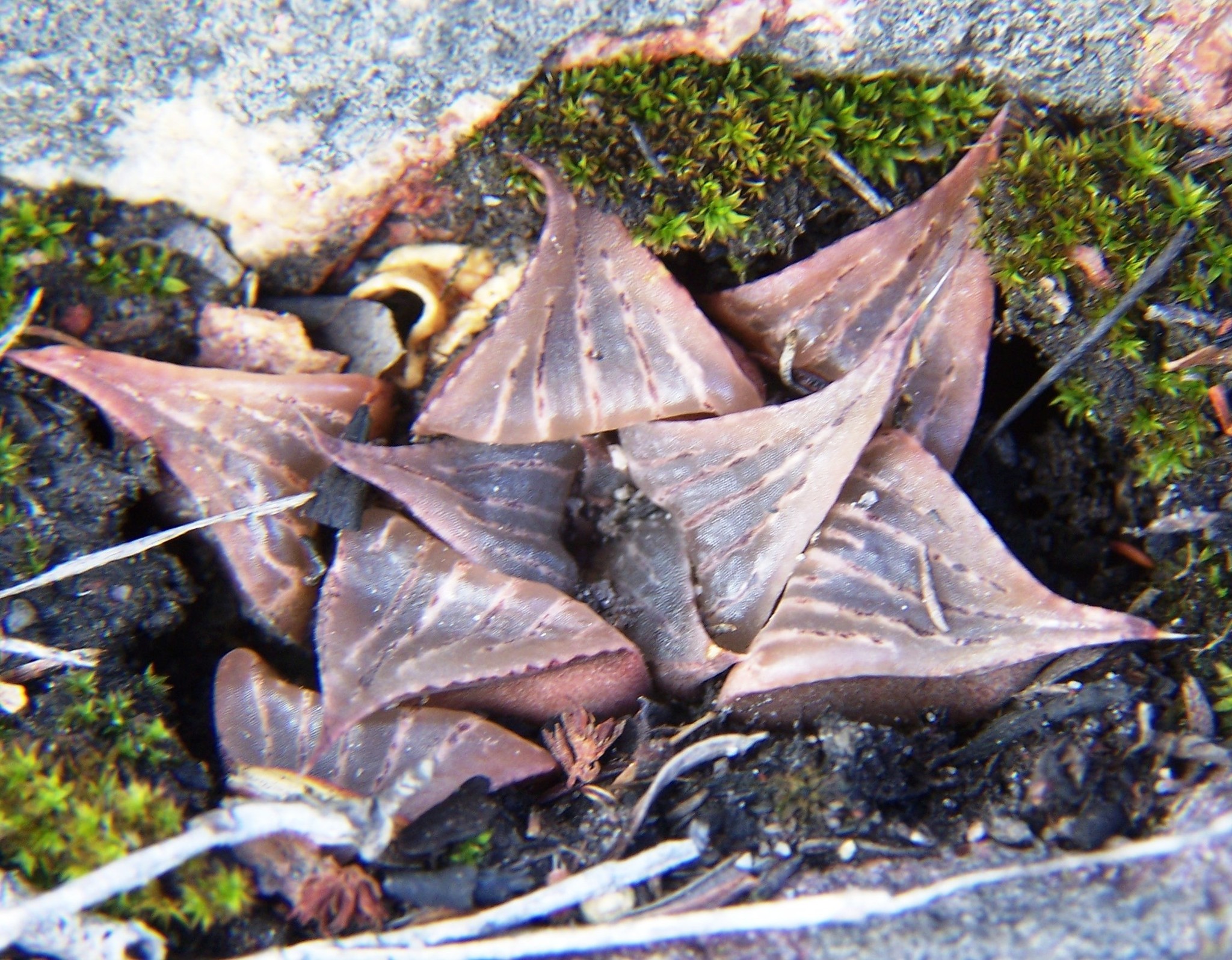
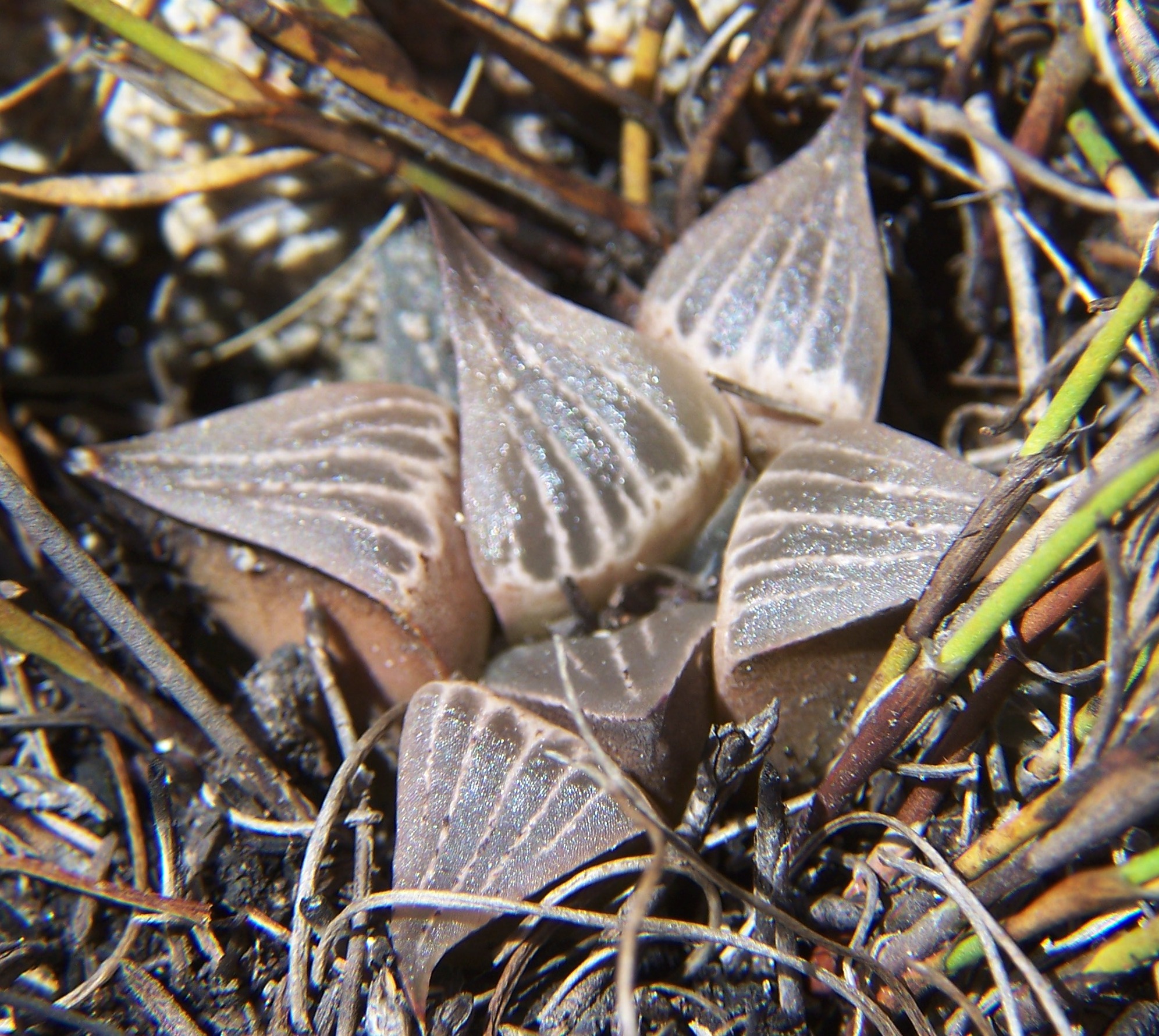
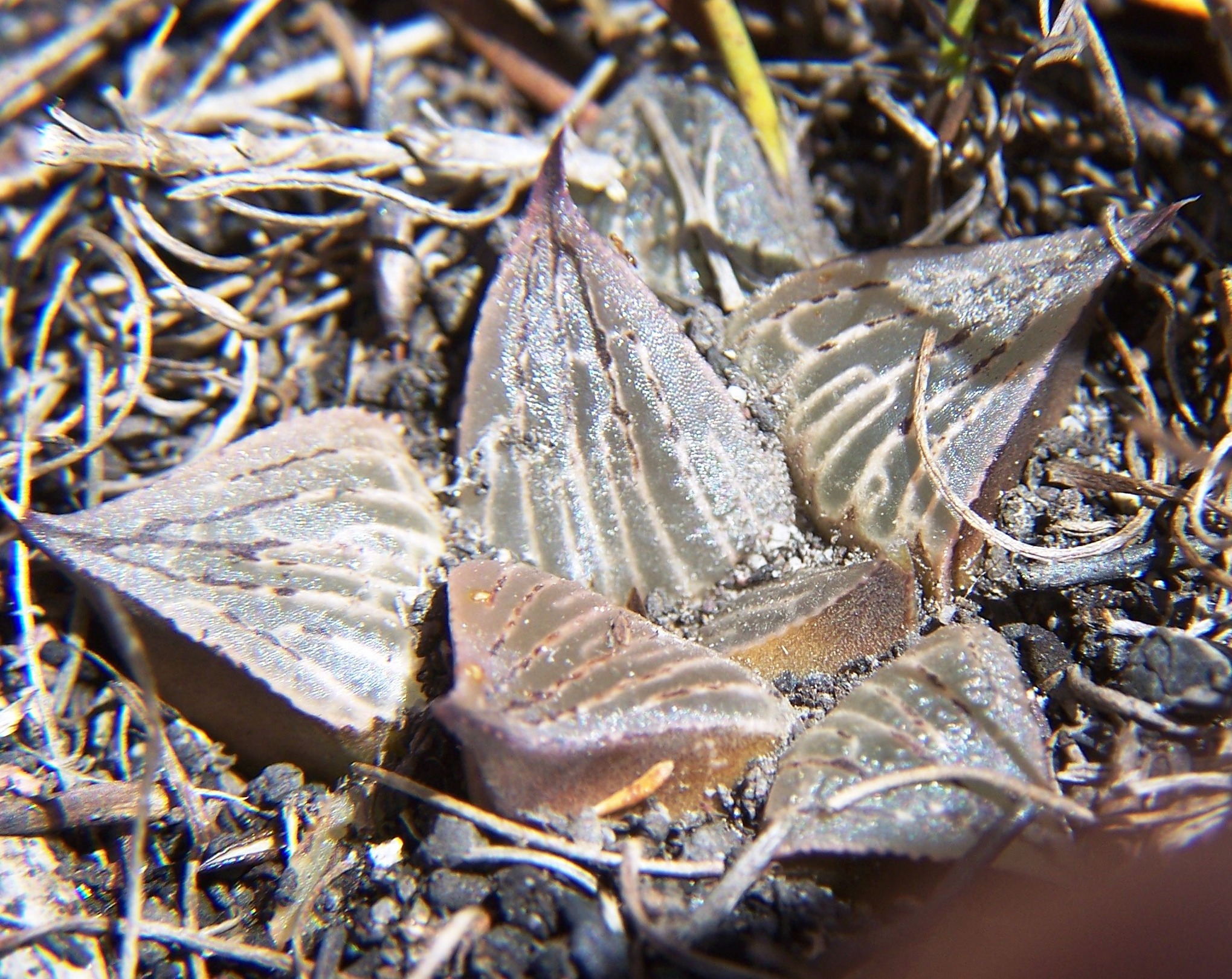
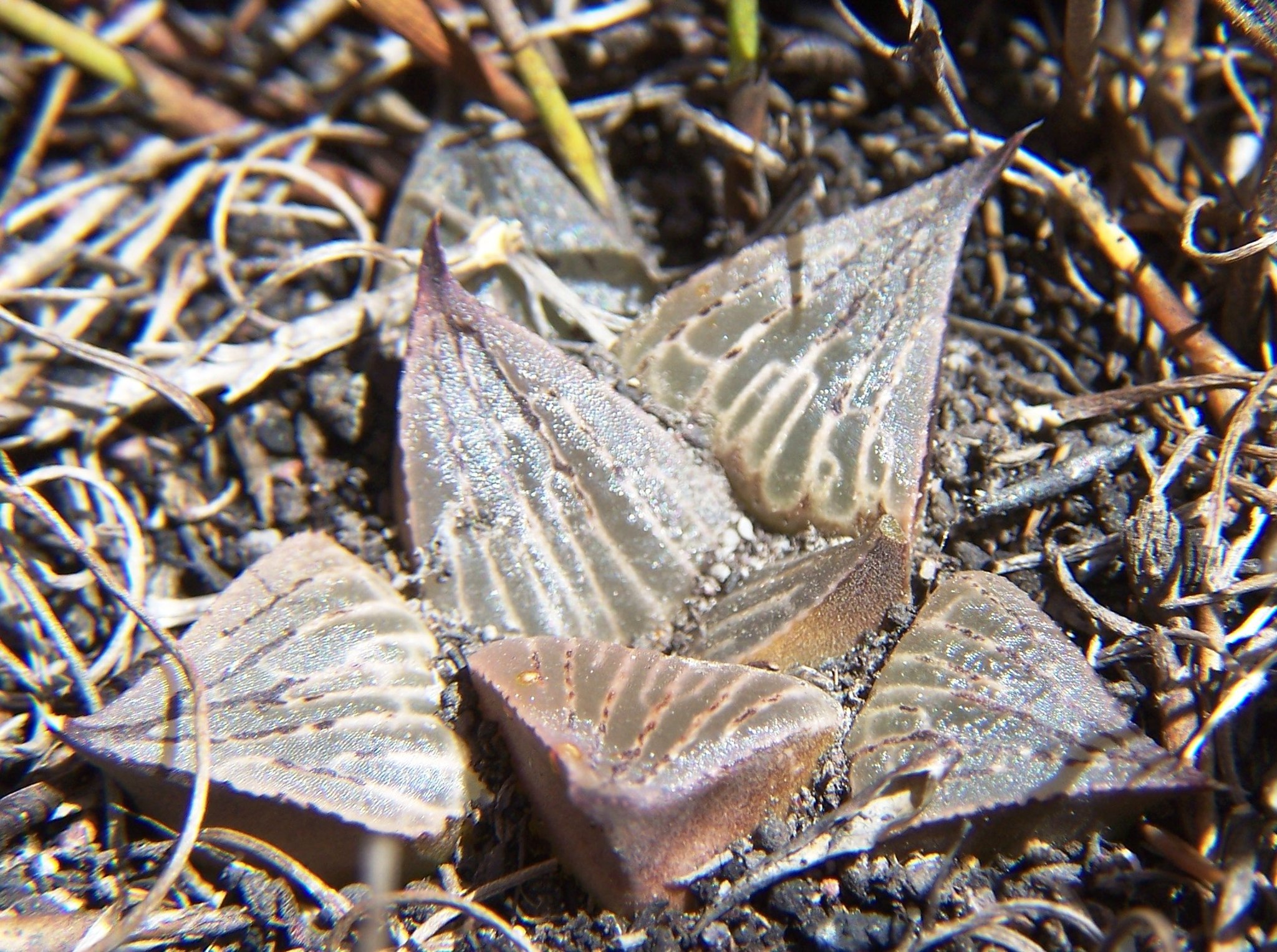
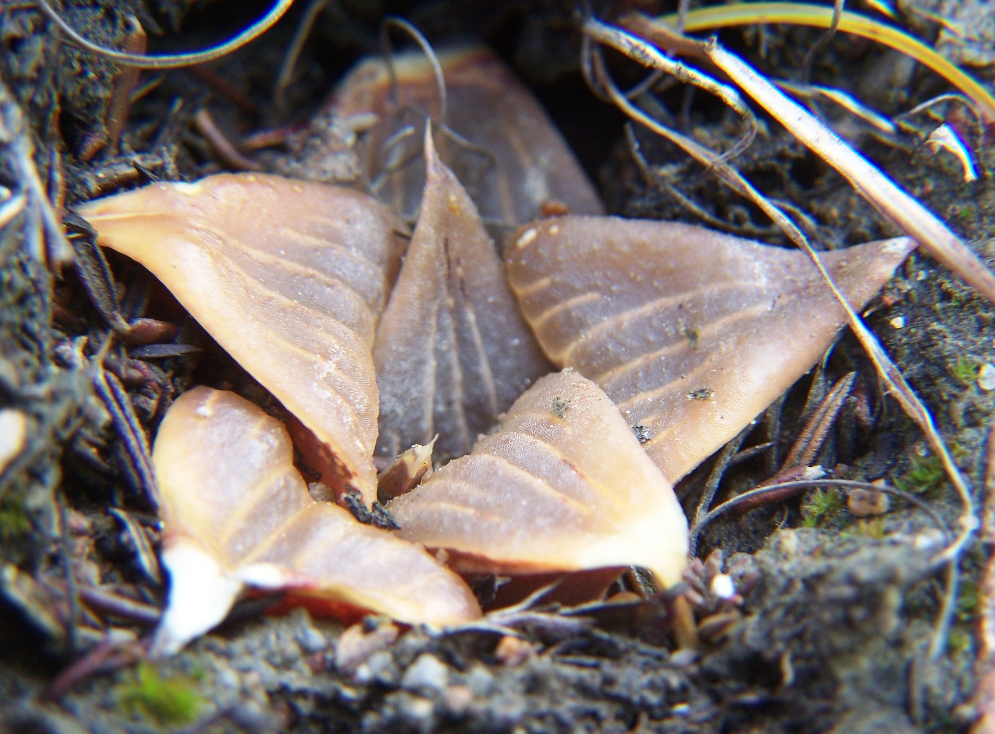
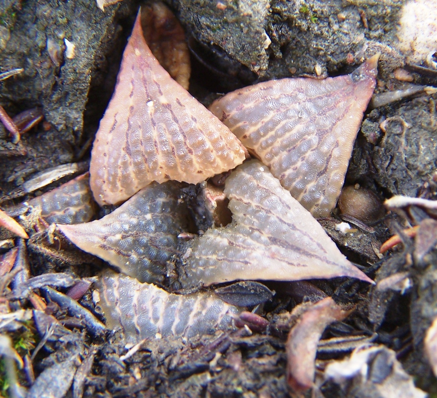
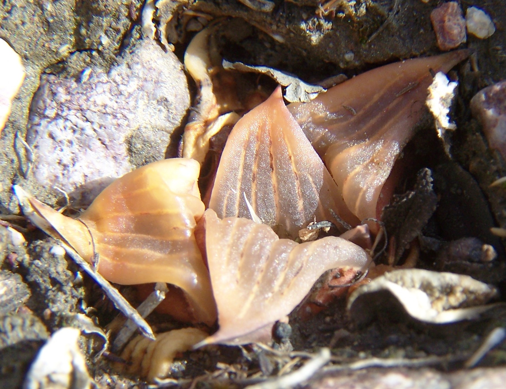
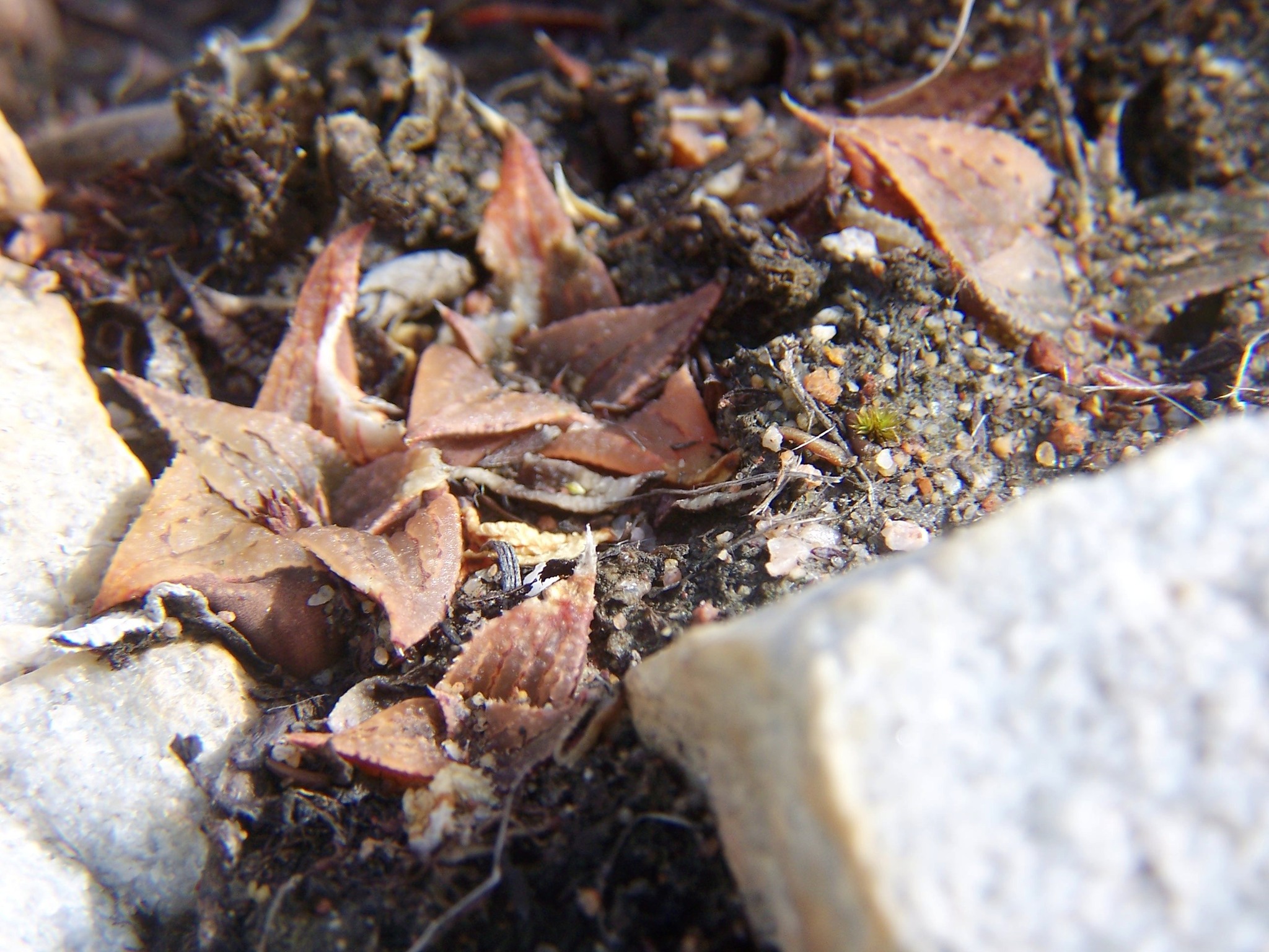
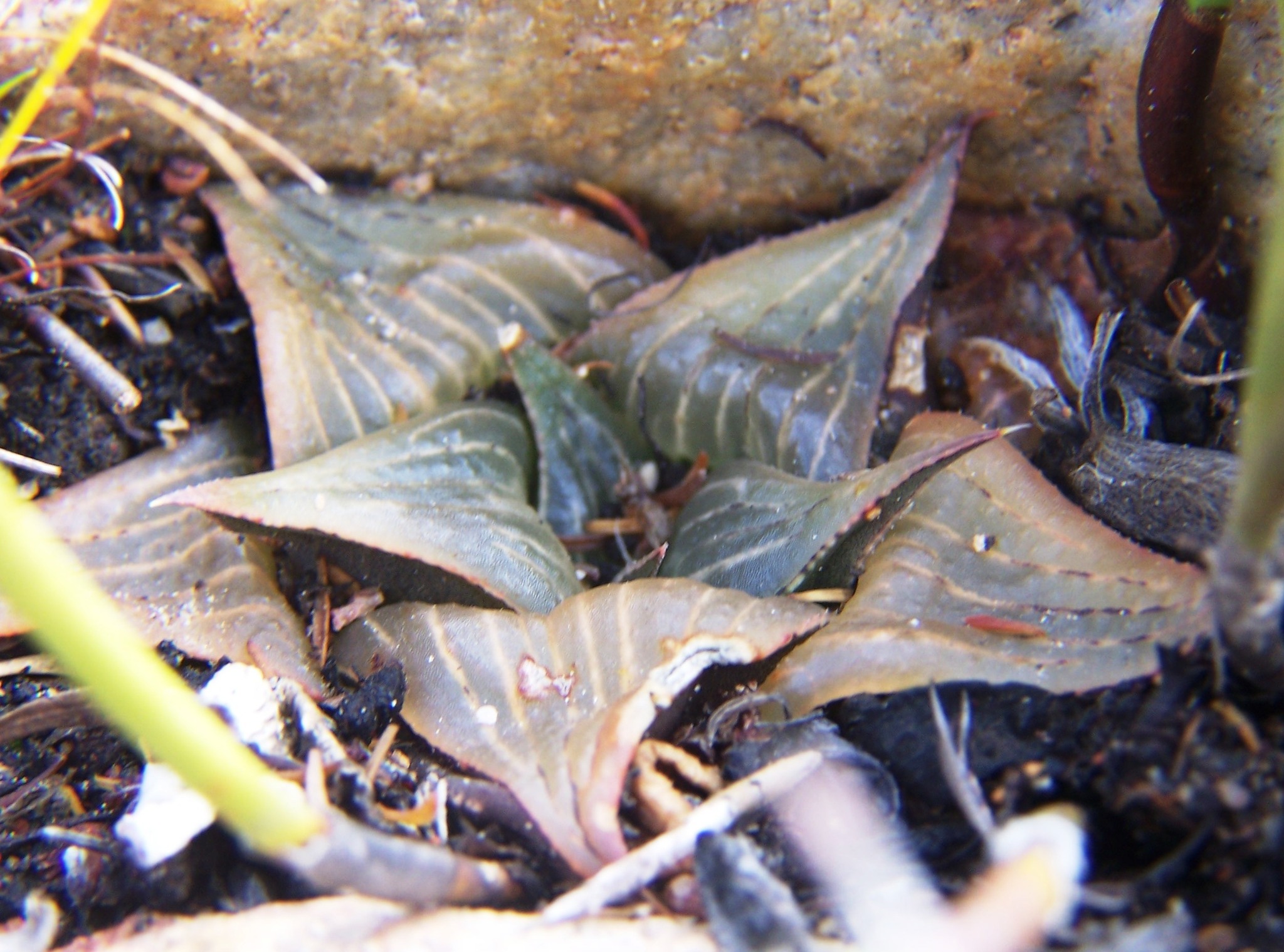
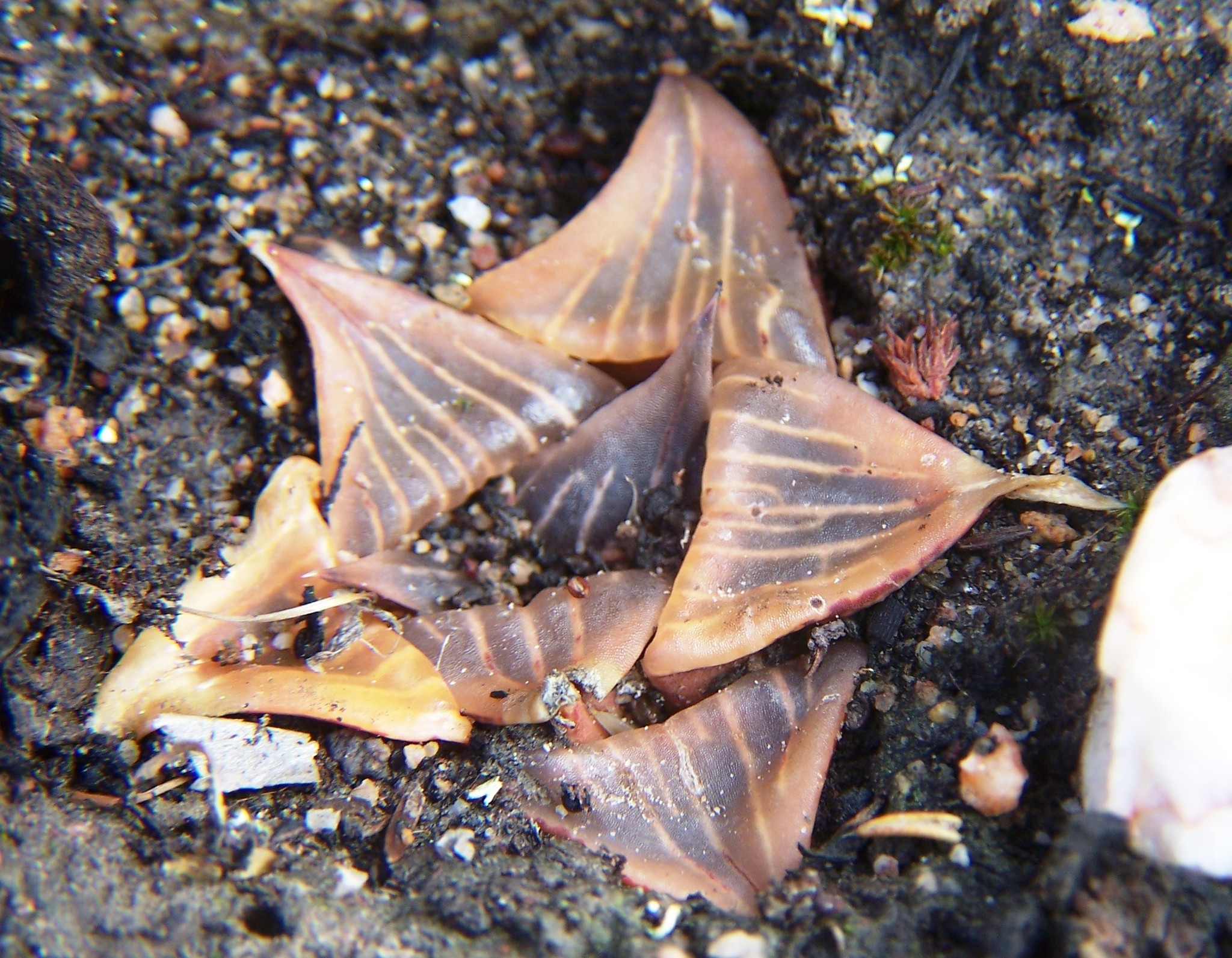
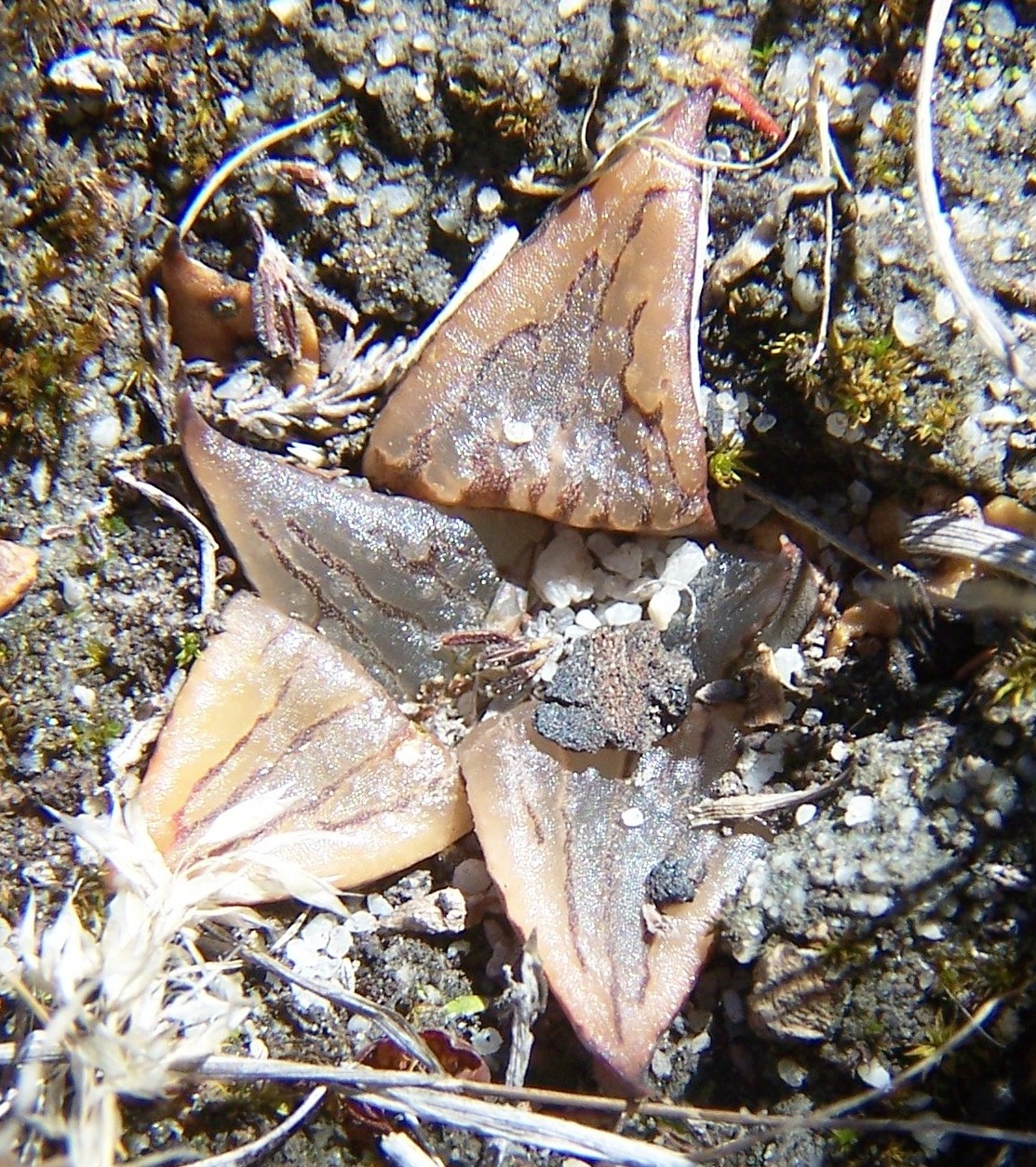
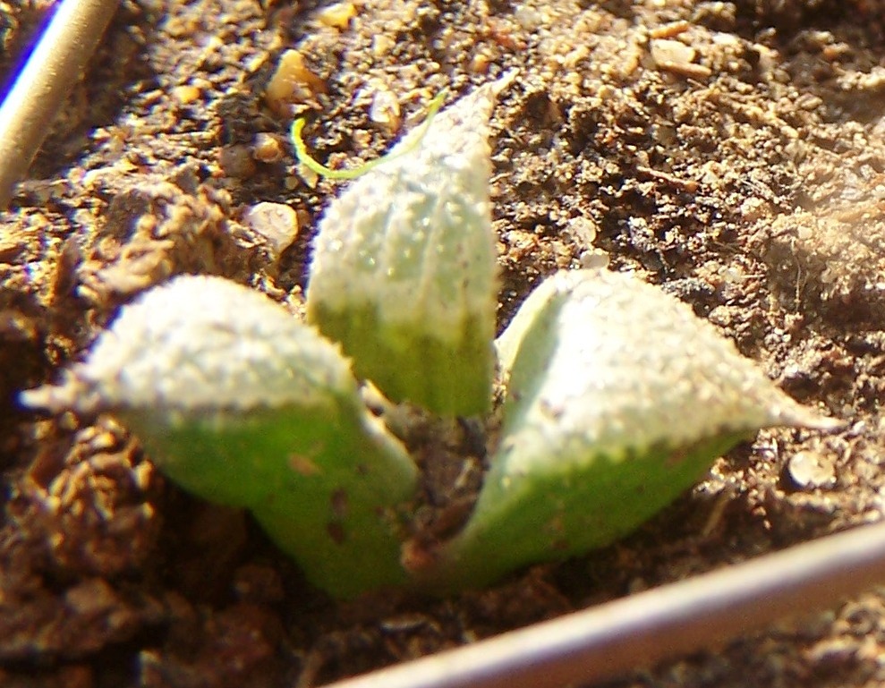
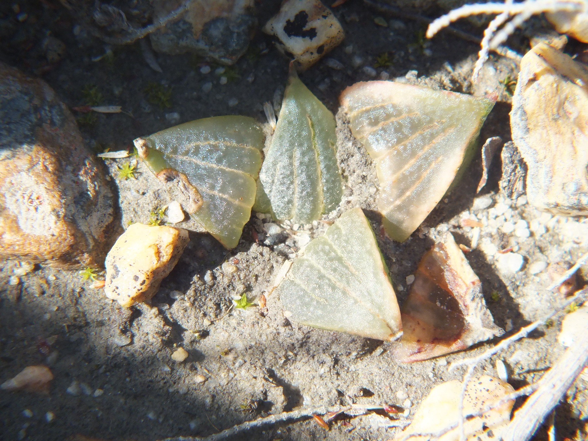
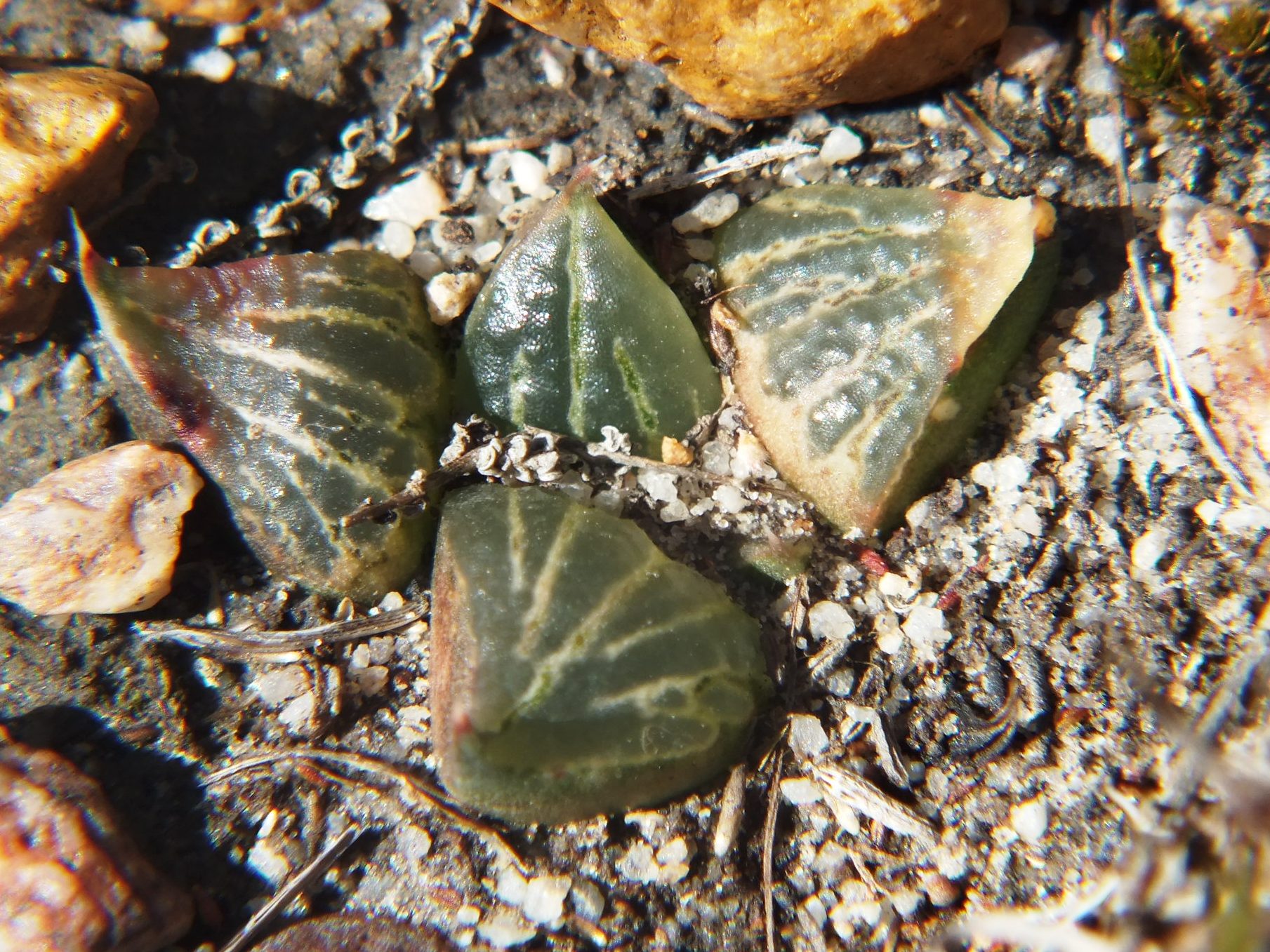
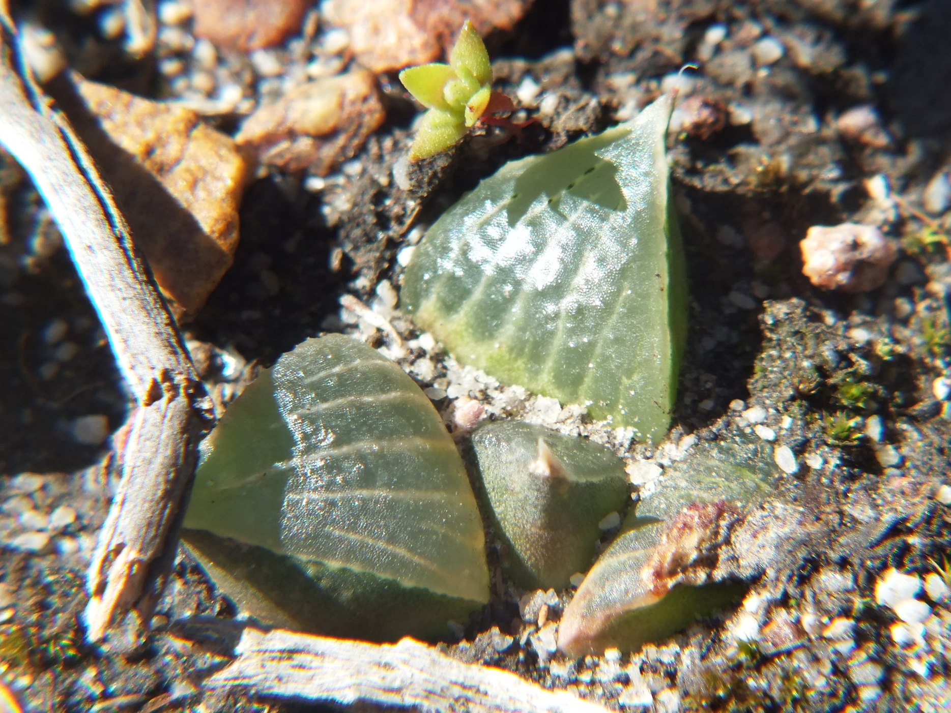
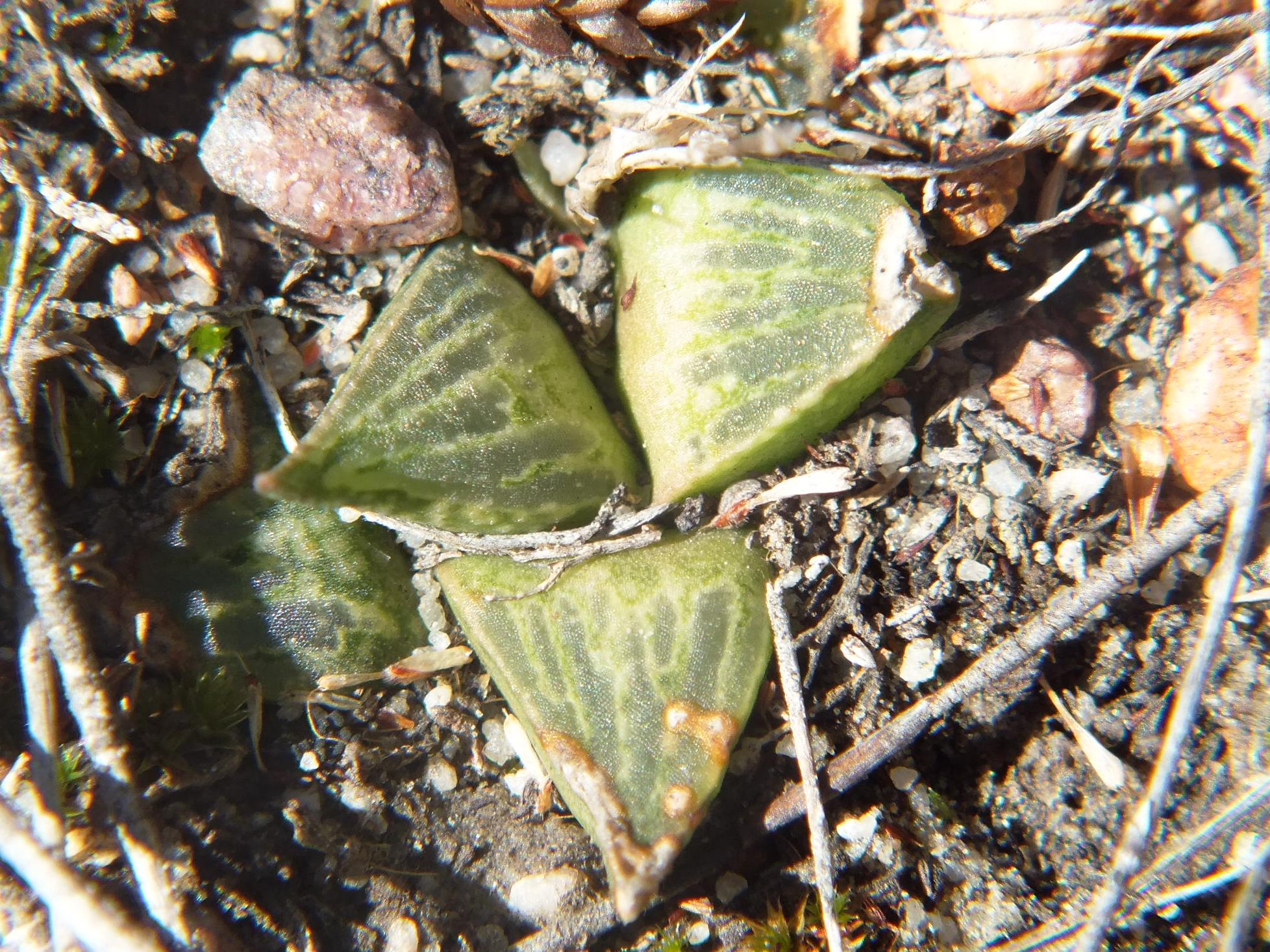
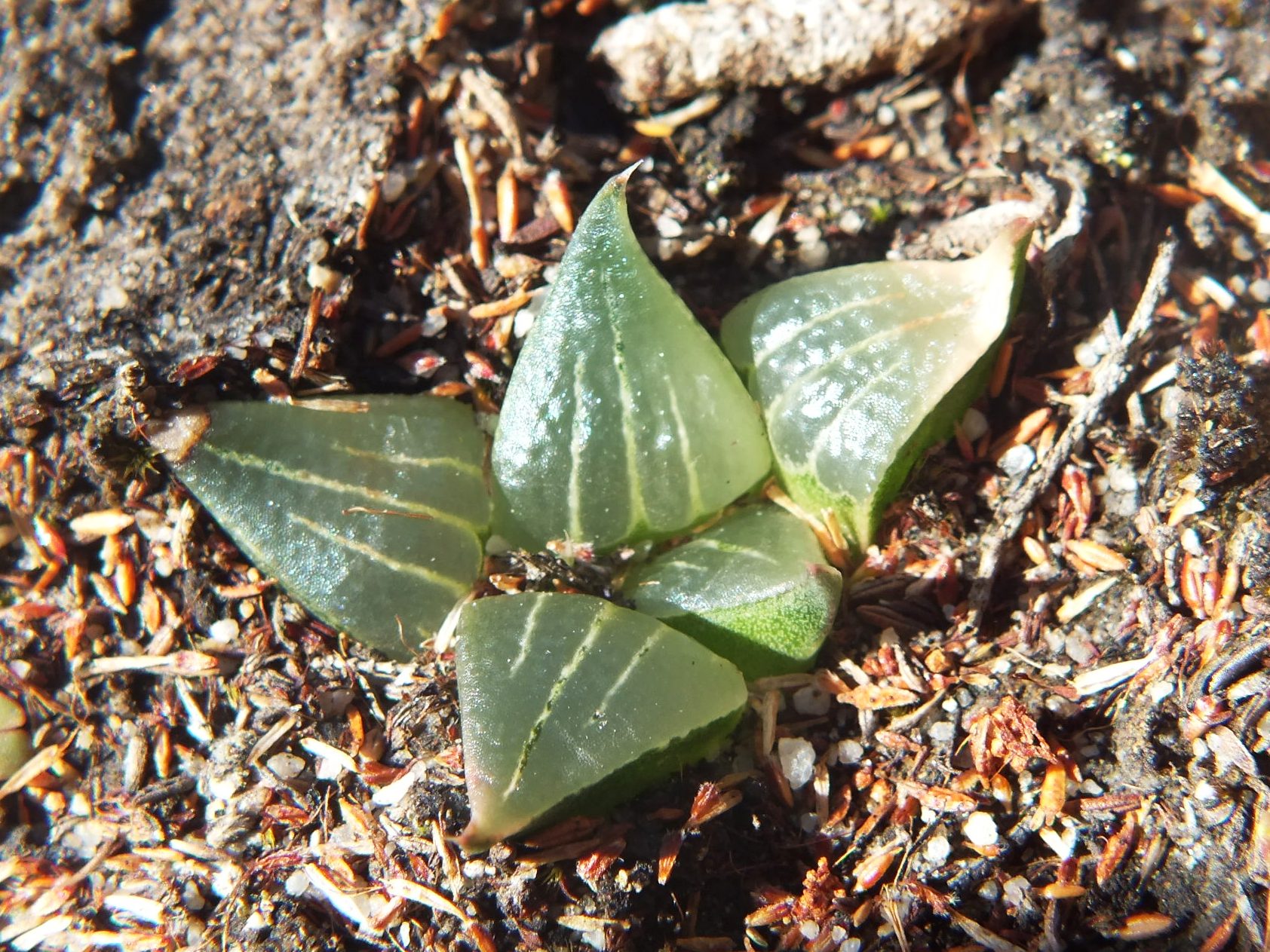
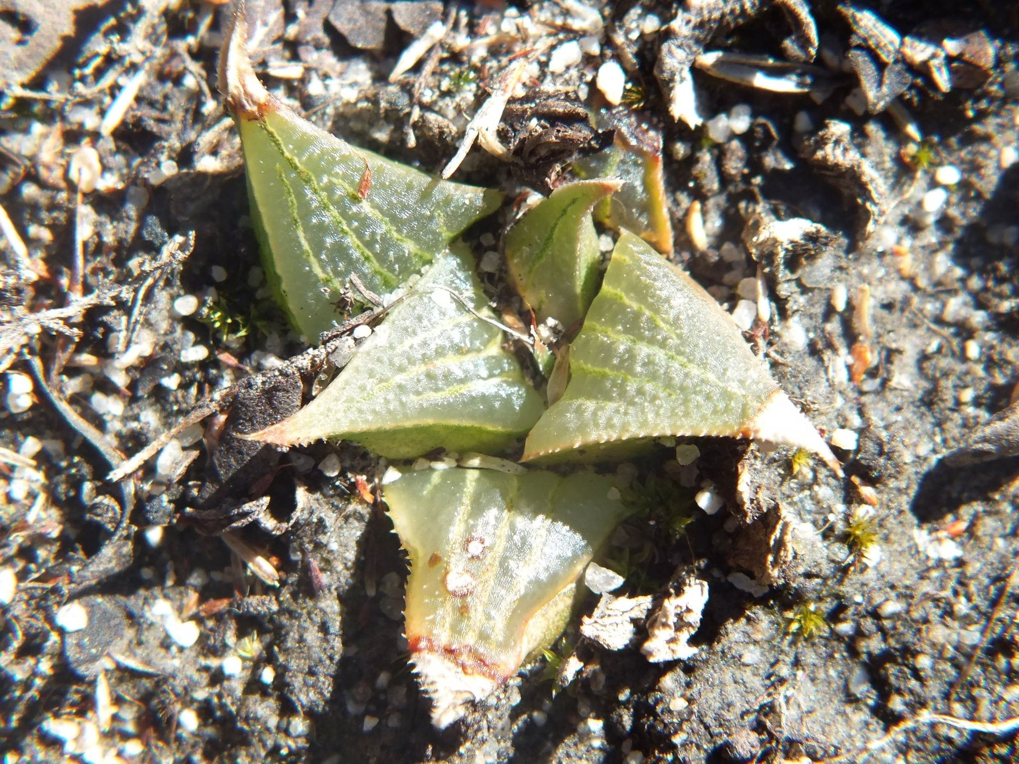
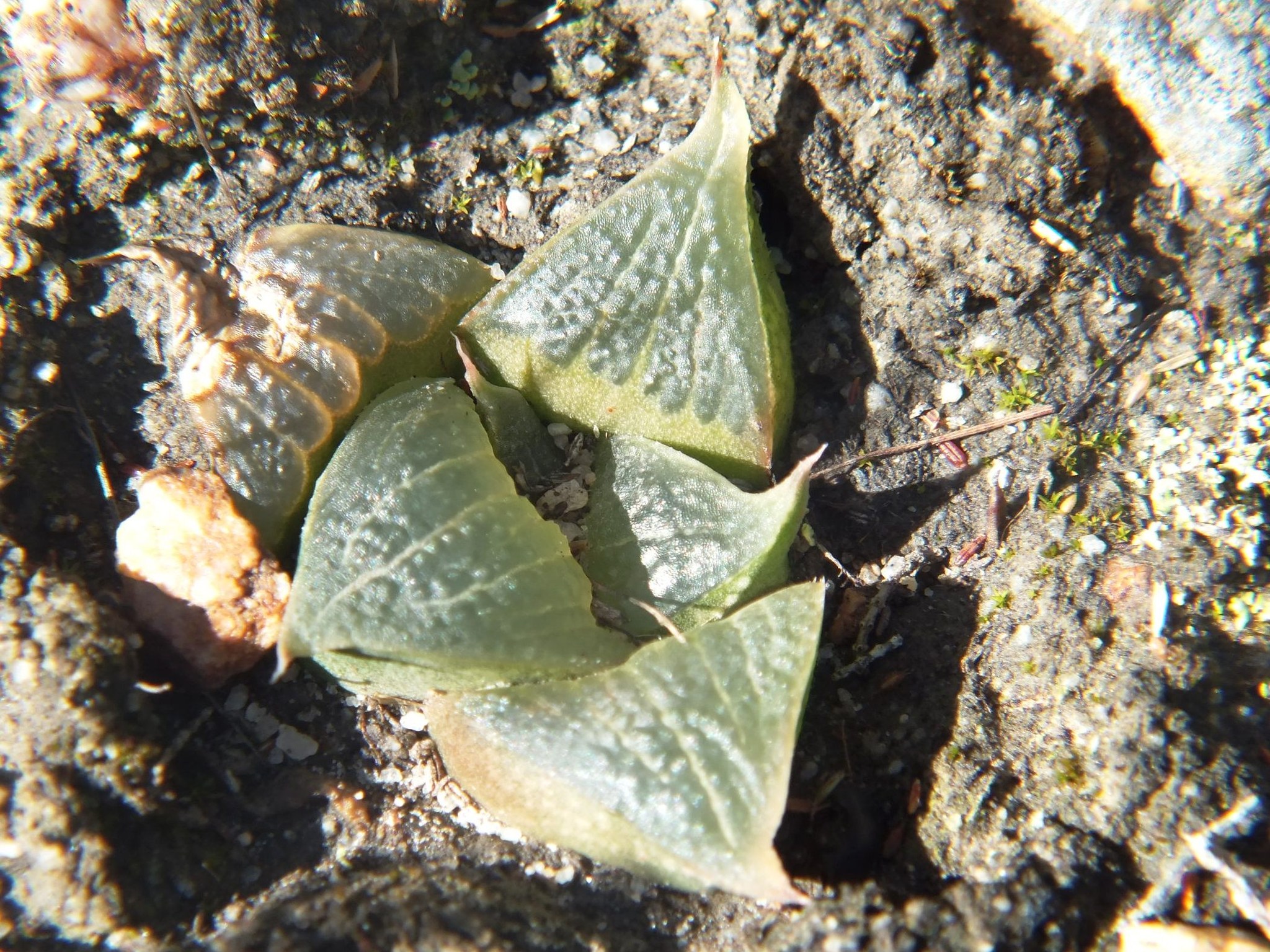
As an after thought … did anyone see this? Some how or other these two forms of H. eliseae came about, and I suspect it may have something to do with Rupert Sheldrake’s suggestion of morphic fields. Is this an overlap of the Worcester/Robertson herbaceoids and the more southerly mirabioids? I settled for a rossouwii/mirabilis interaction that is not entirely convincing. These two pictures were taken at the same time and place in one small population
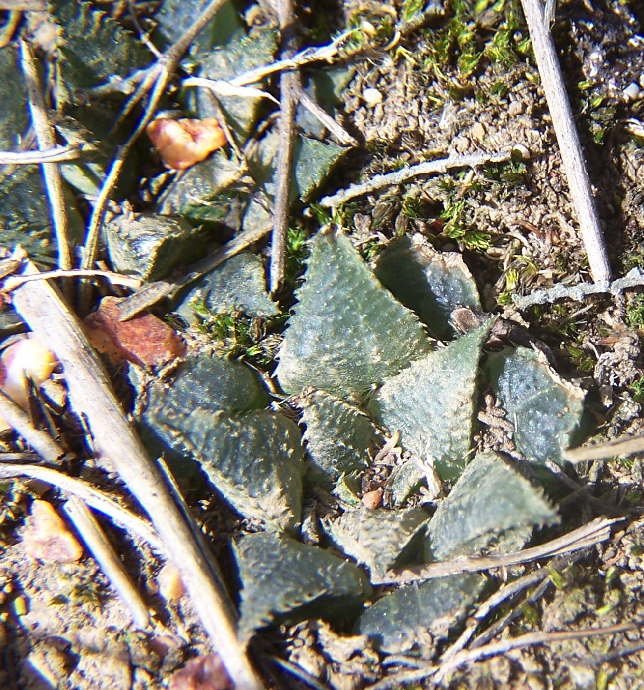
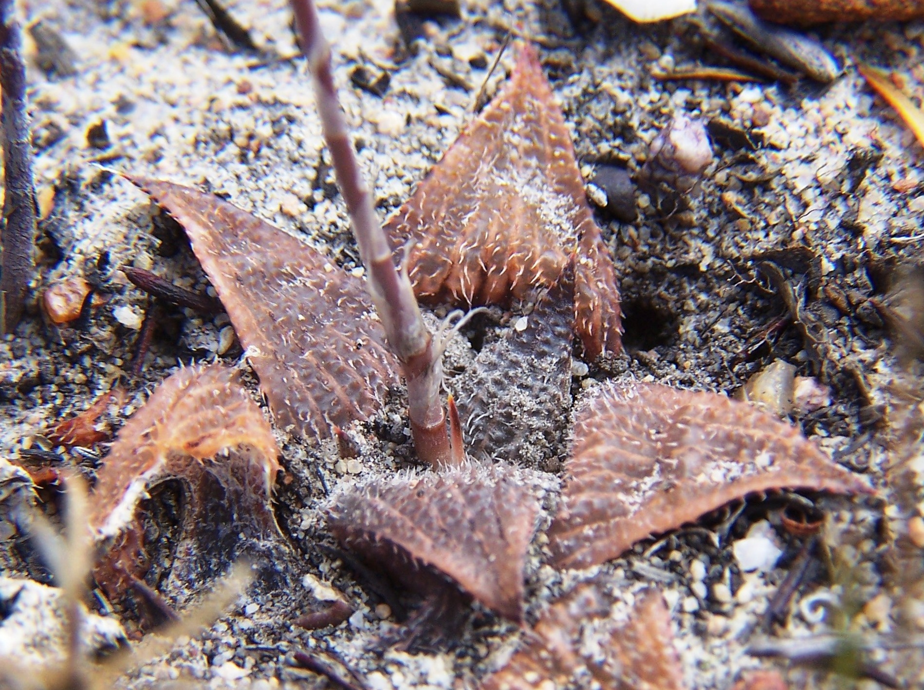
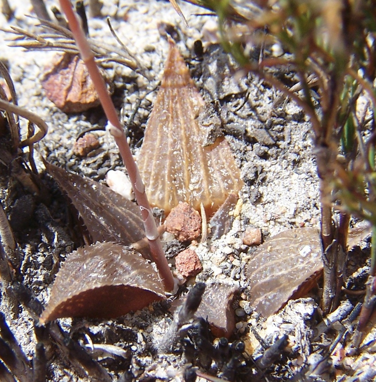
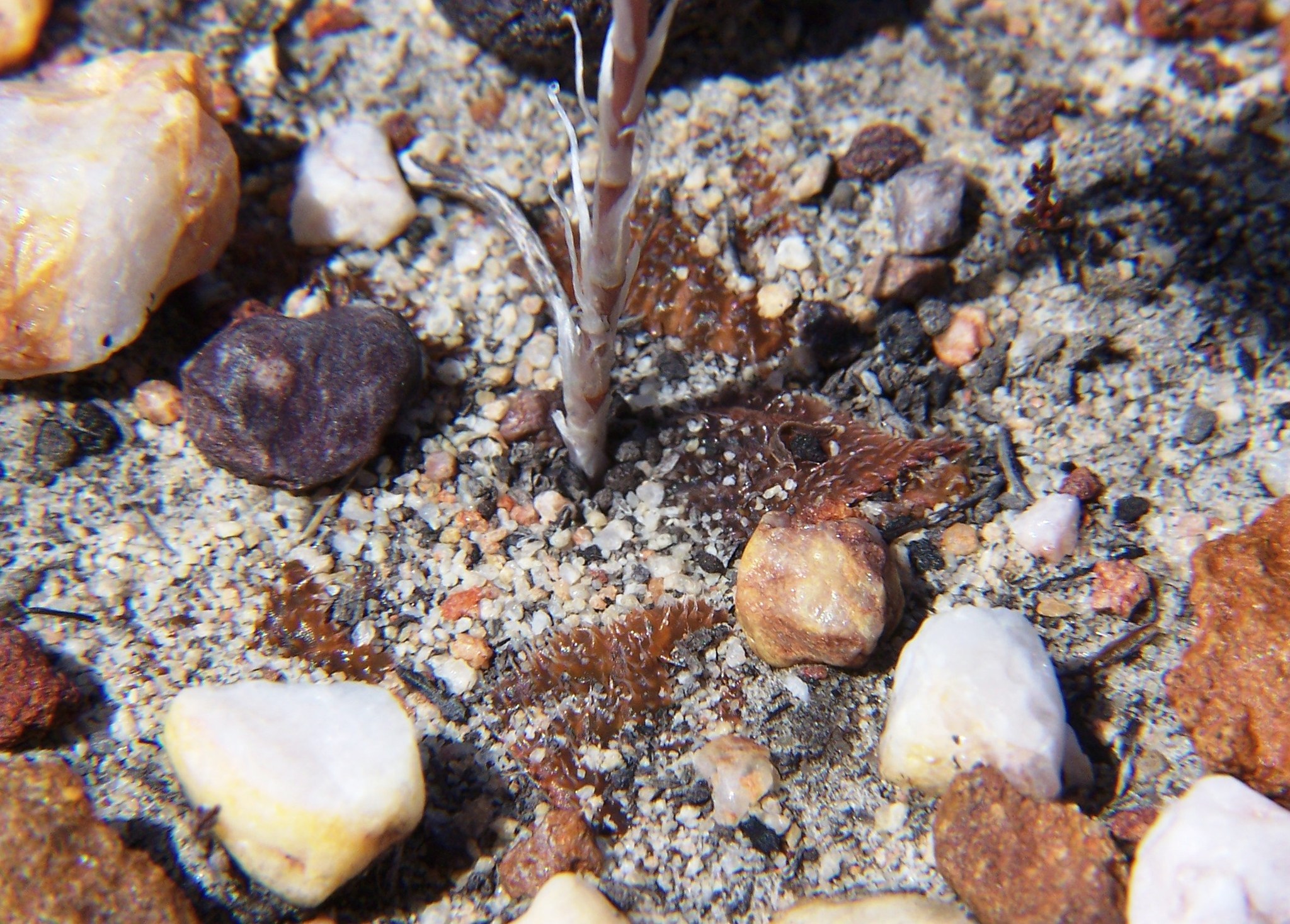
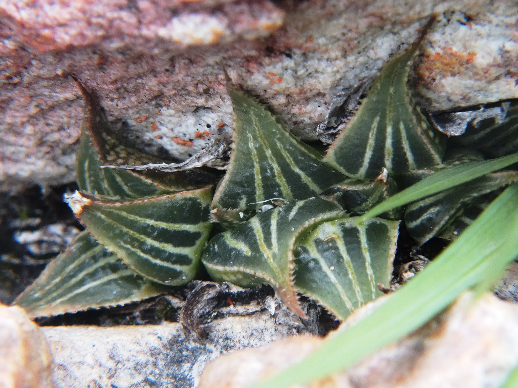
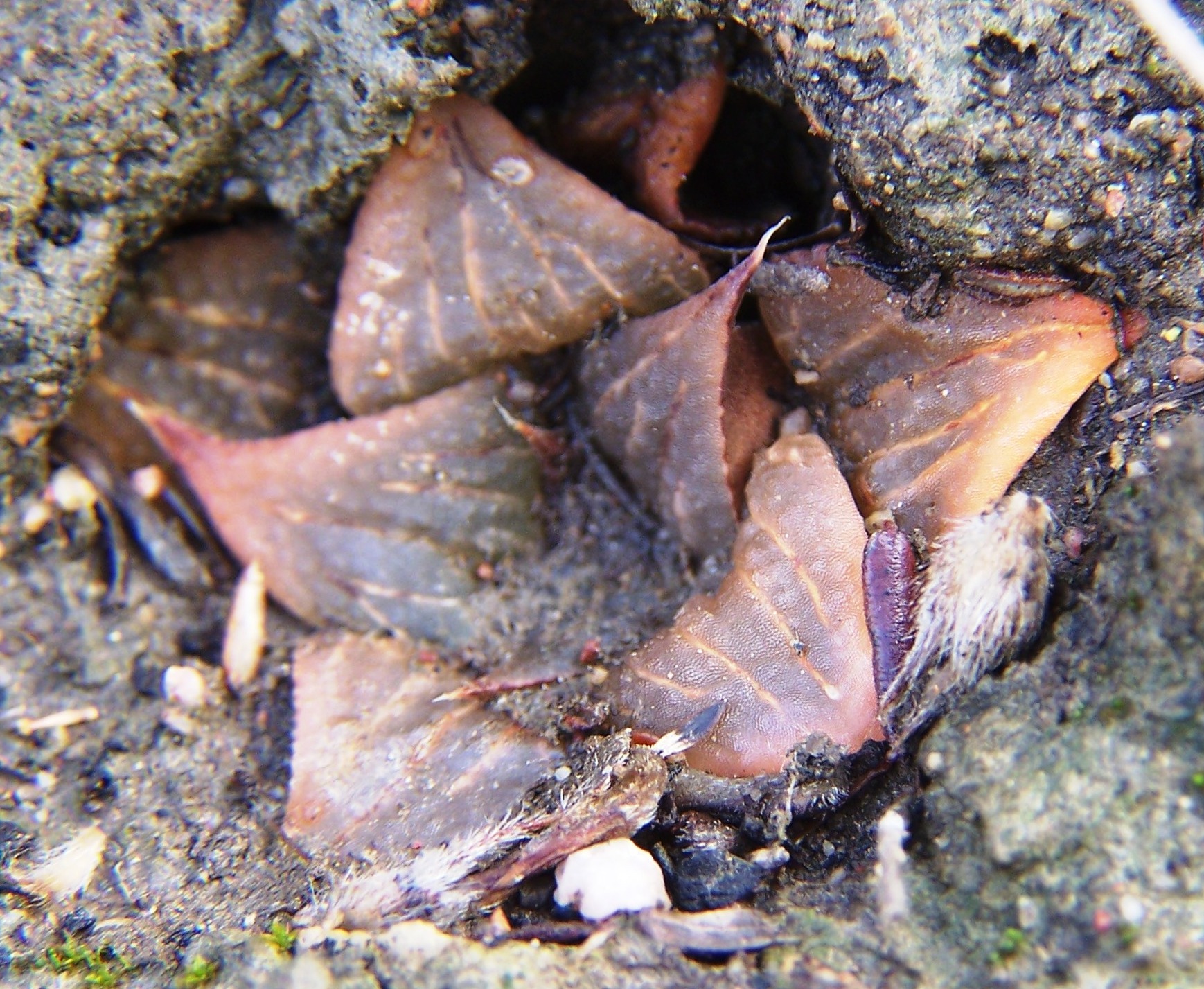
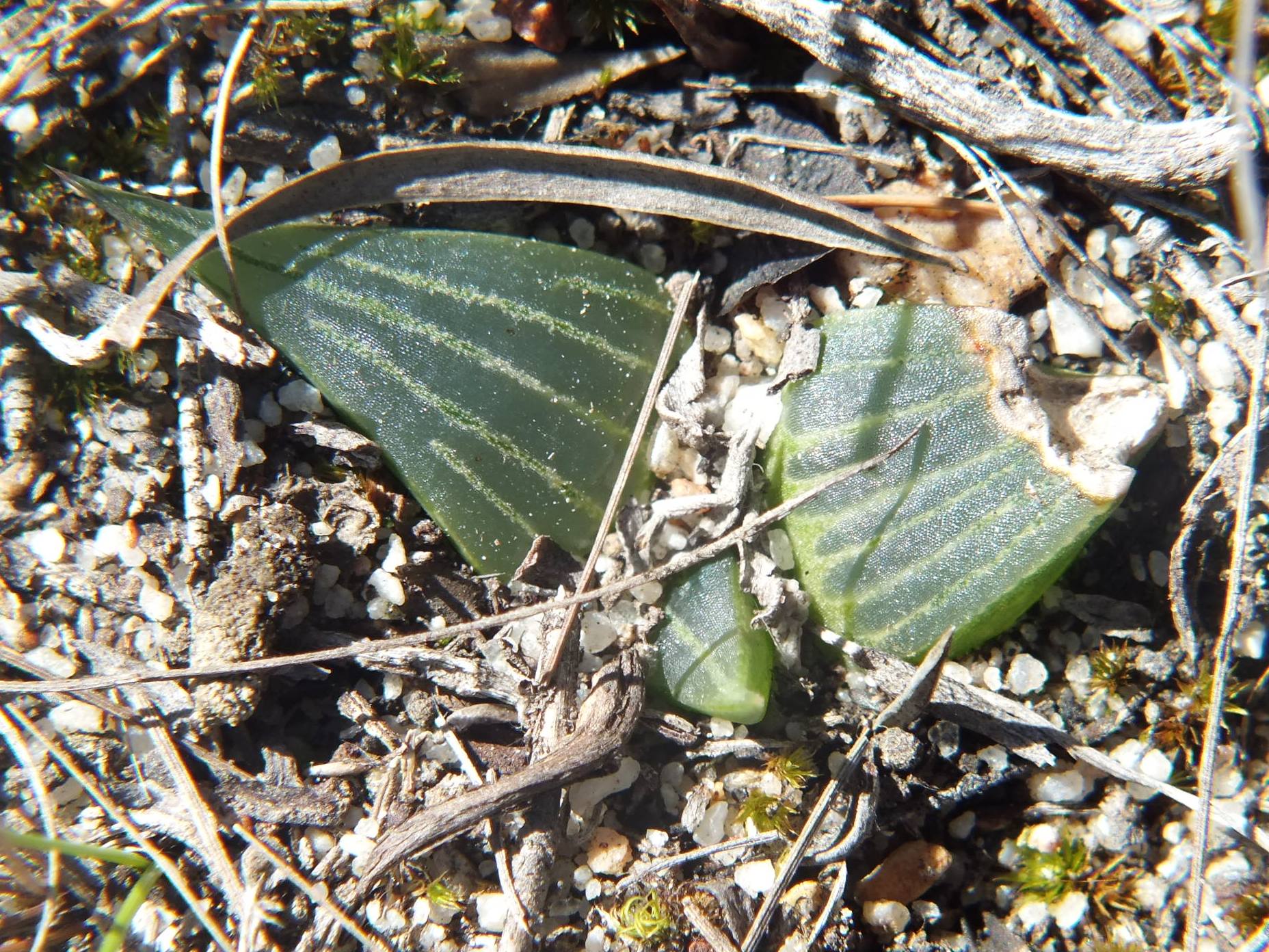
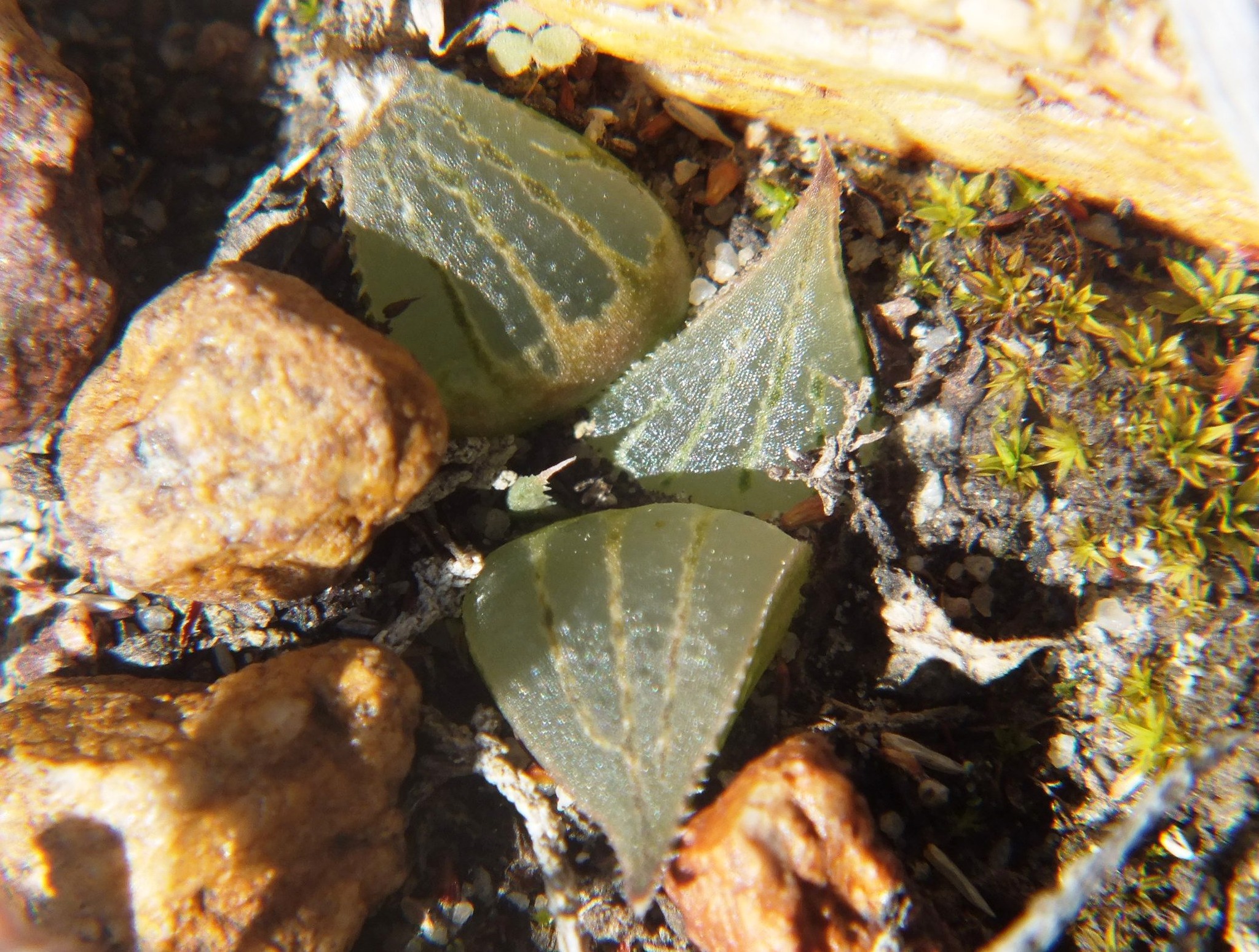
I am not sure how to deal with the west bank populations. Essentially I am talking about H. mirabilis and have been exploring the heidelbergensis phenomenon. On the lower west bank of the Breede River we have a long conjunction of shale and sandstone mixed with tertiary deposits. The vegetation is either fynbos or renosterveld and there are vast differences over short distances. H. turgida in its best form is present (along the river itself) and so is the floribunda/variegata element. The result is two contrasting versions of mirabiloids. I will post the 6 or so turgidoid influenced populations first (fynbos) and then the more dark mirabiloids (Renosterveld) after. Note that there are no absolutes. On the decaying shales where there is kaolinite, we could be back west of Riversdale. I will start with what deviously and/or distastefully, acquired the name ‘bobii’.

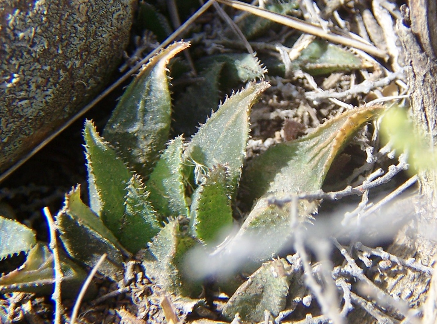
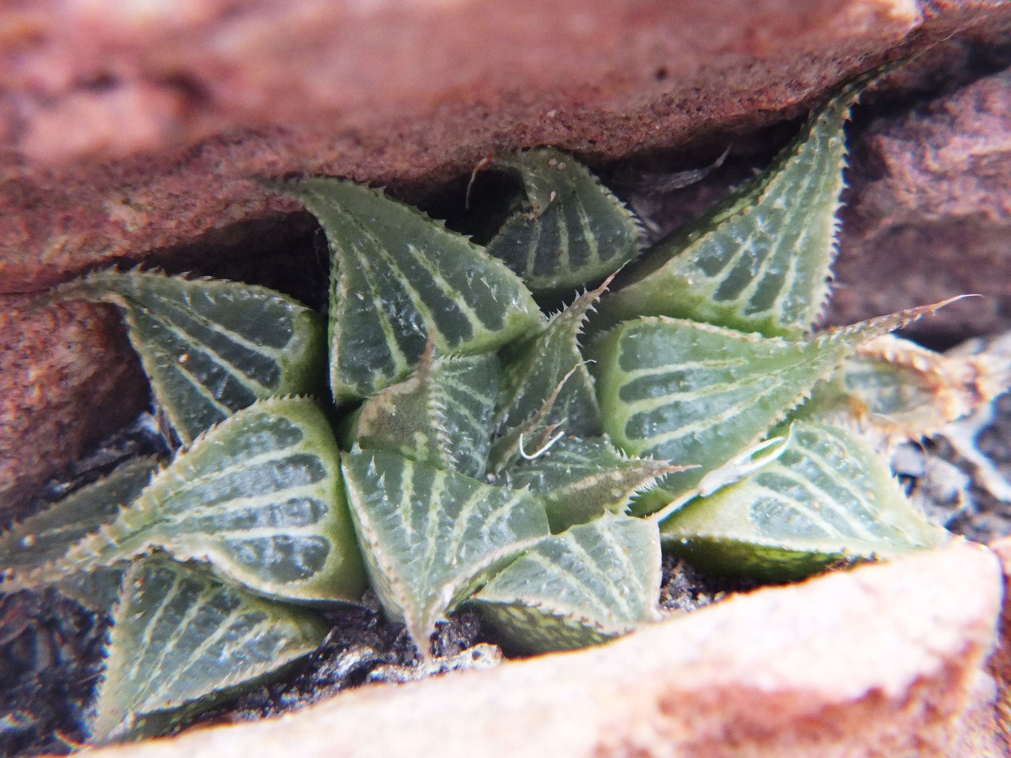
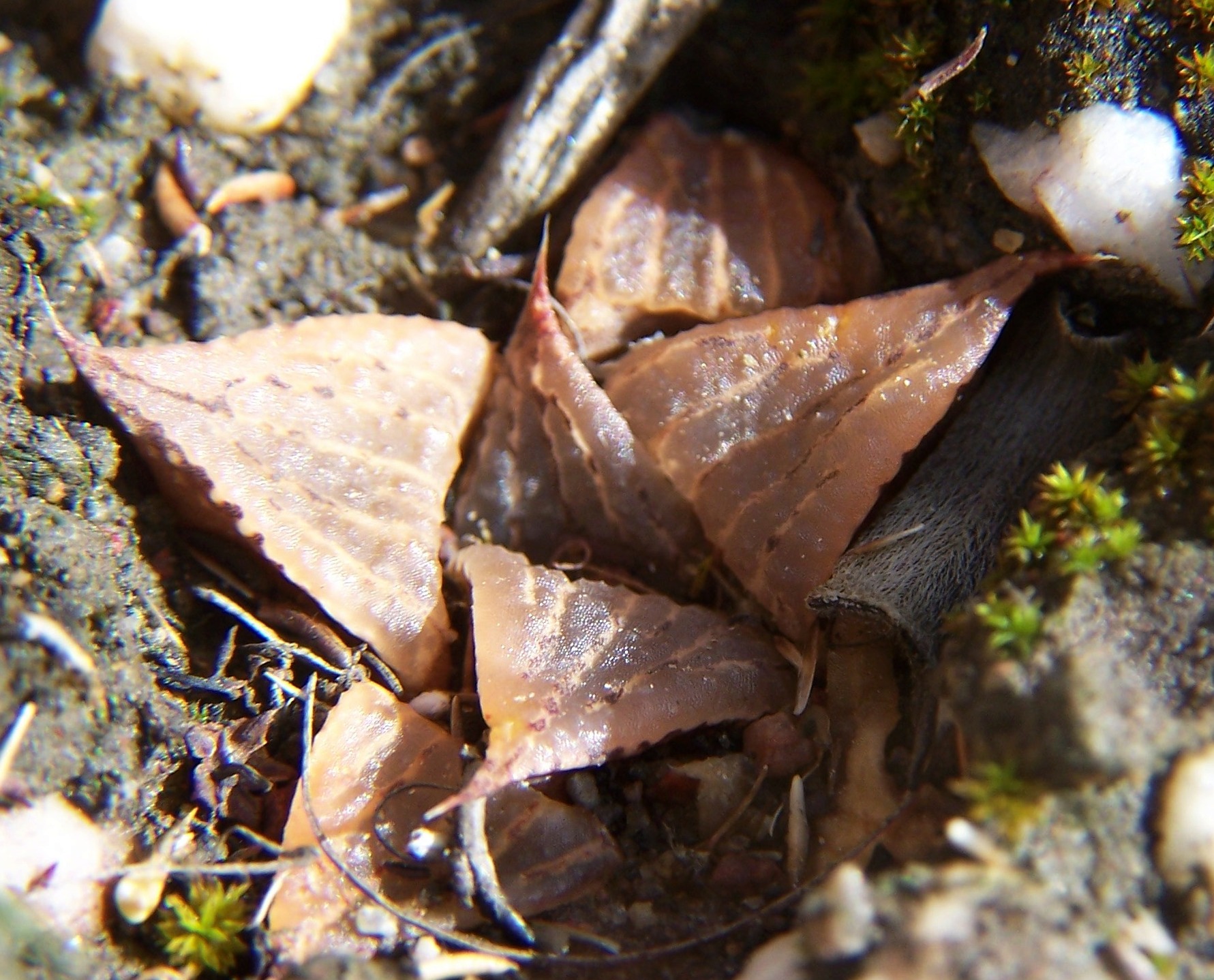
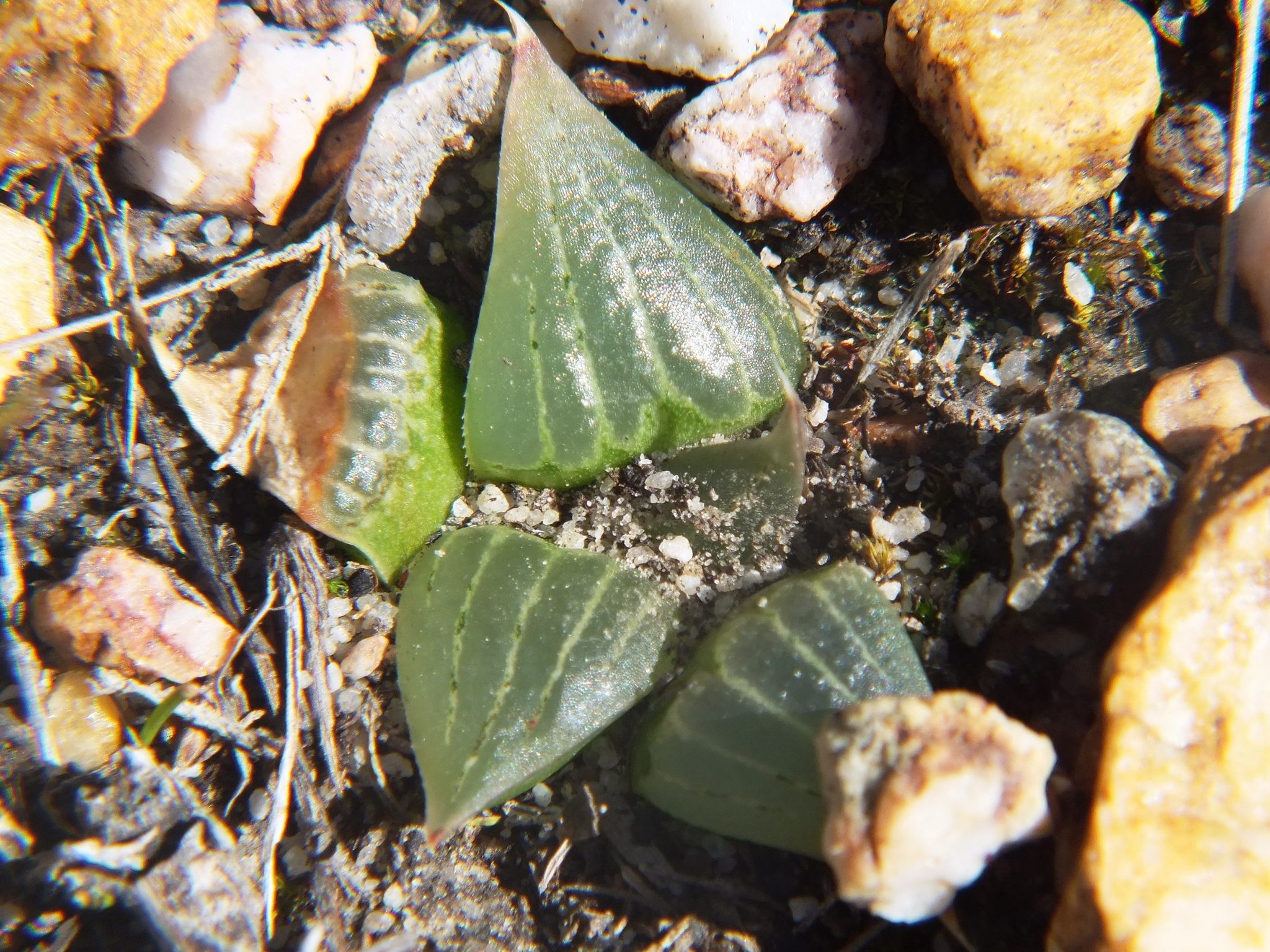
This is just a few km west of bobii and again a link in a chain that makes a mockery of populations as species. I don’t think the Potberg is well explored at all. While this is on the eastern and north facing flank, there are two other populations known on the southern slopes travelling westwards.

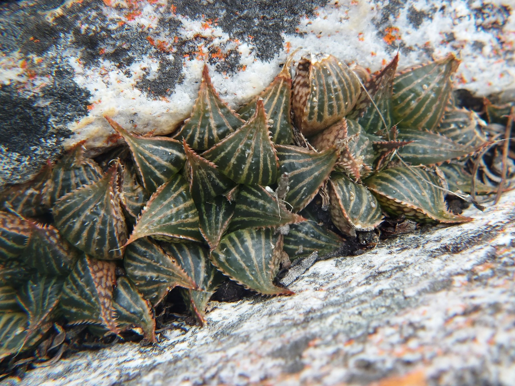
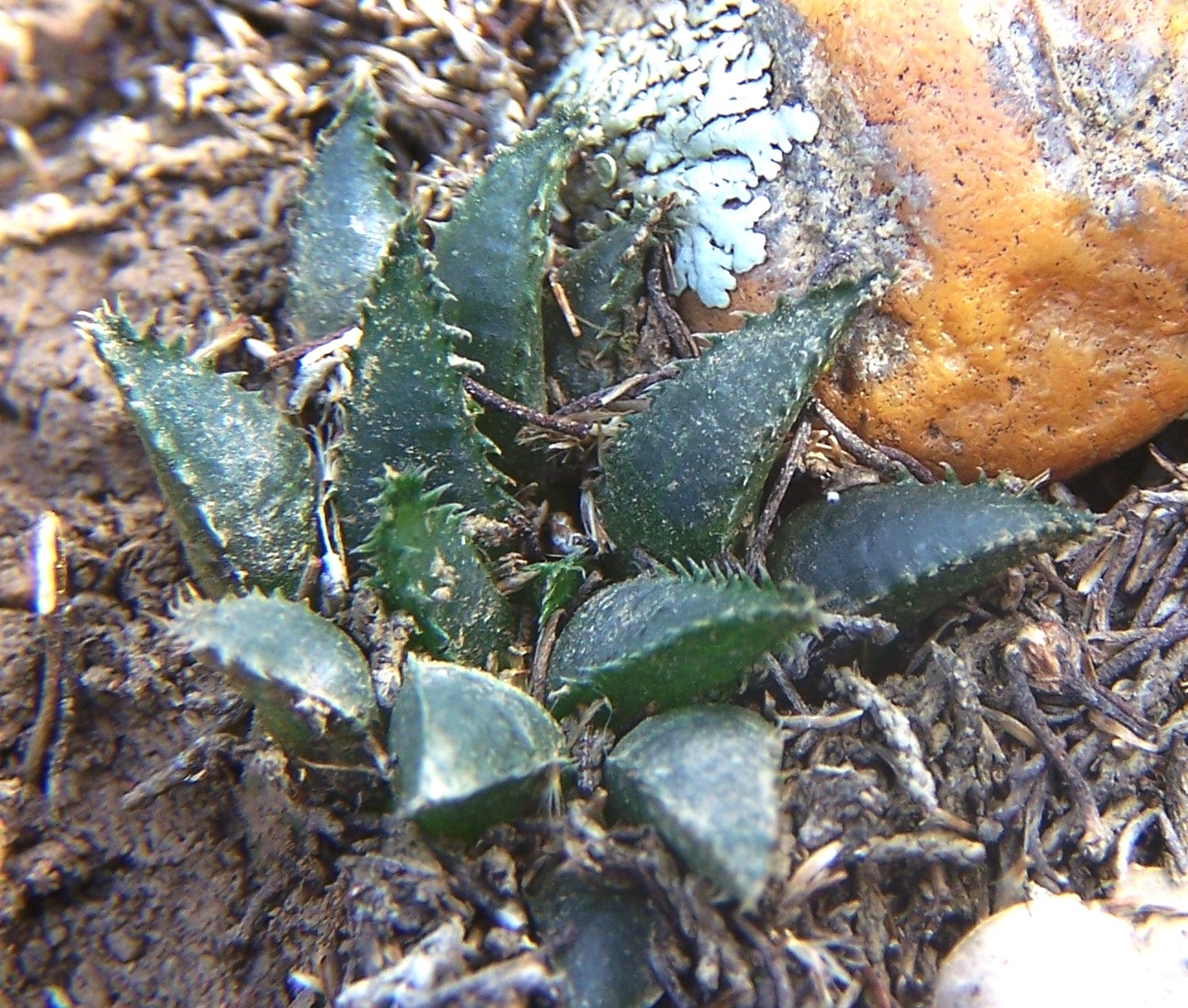
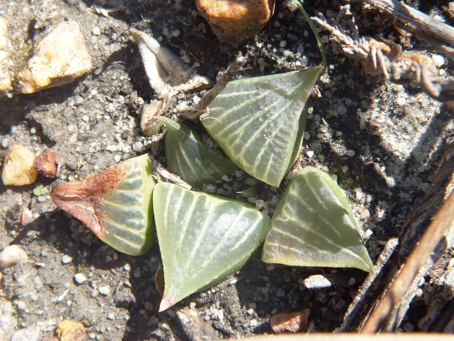
On the southern face of the Potberg a few km further west and well off the beaten track …
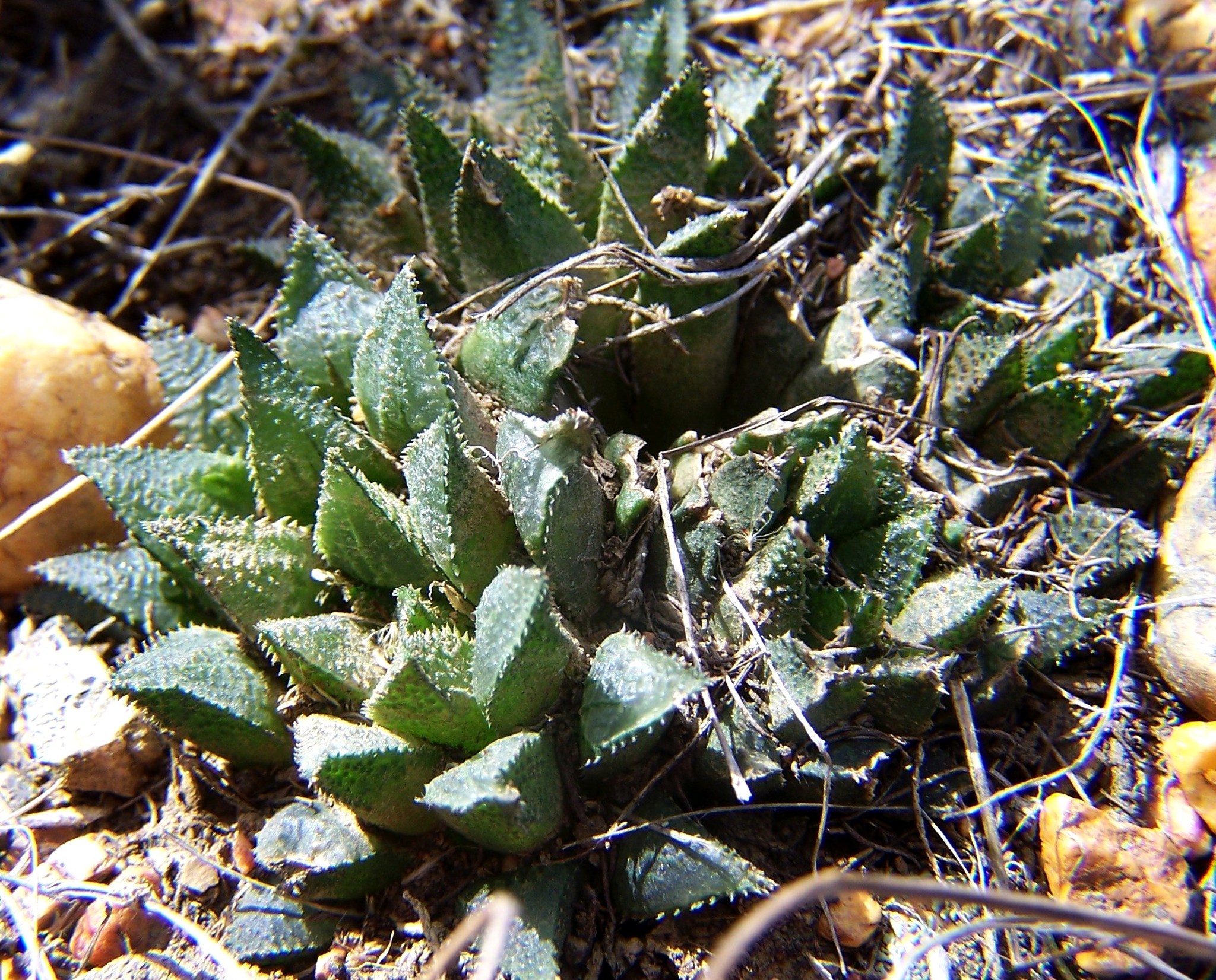
Again travelling west along the south side of the Potberg is a similar population of plants. Unfortunately I only have two pictures of plants in cultivation that are not very useful except to show how growing conditions affect appearances. We arrived at site late afternoon in rainy weather. It was a long hike through thick brush and the light was also too poor for film photography.
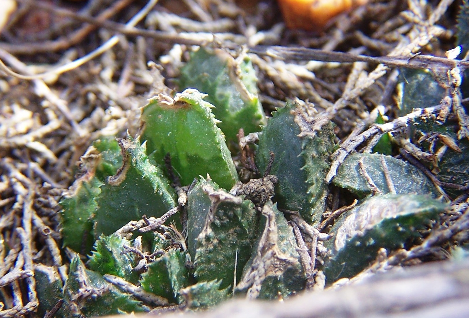
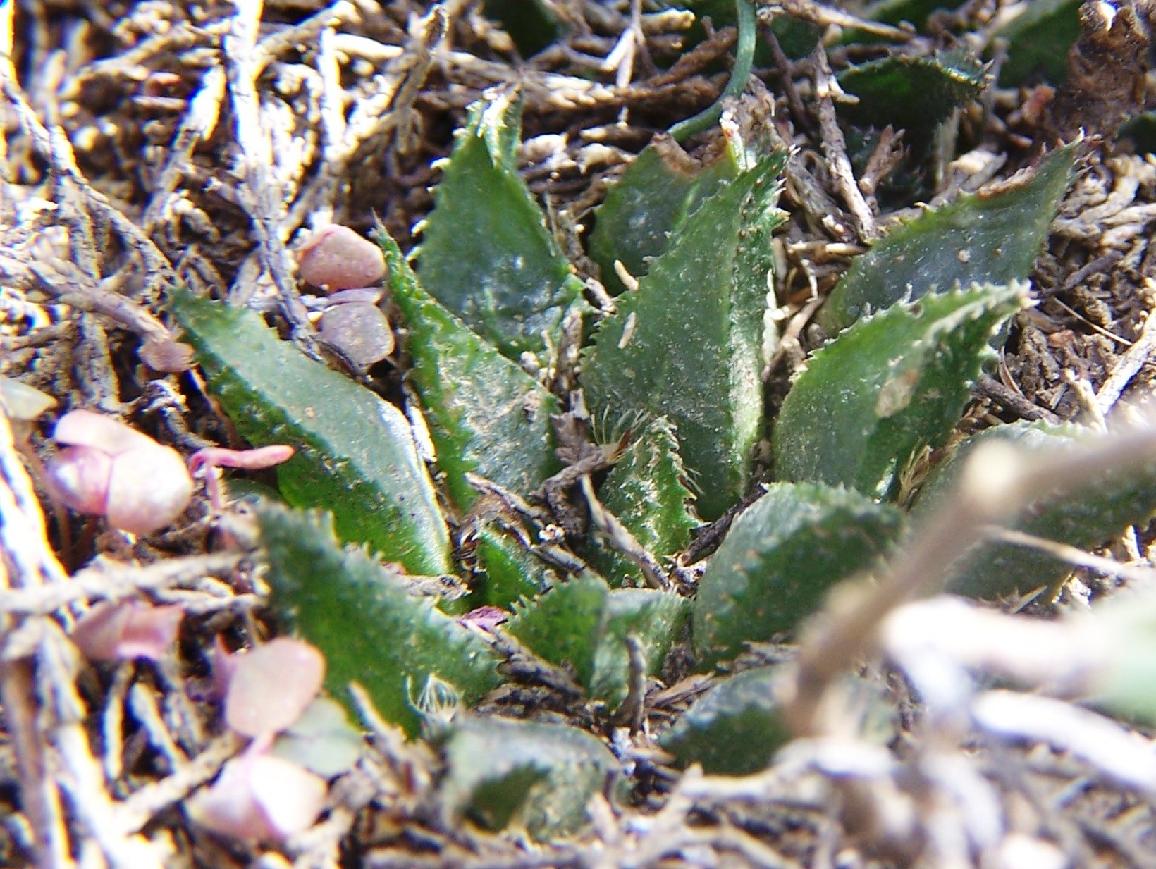
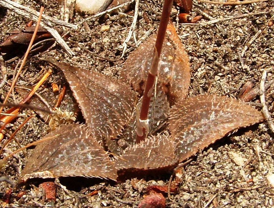
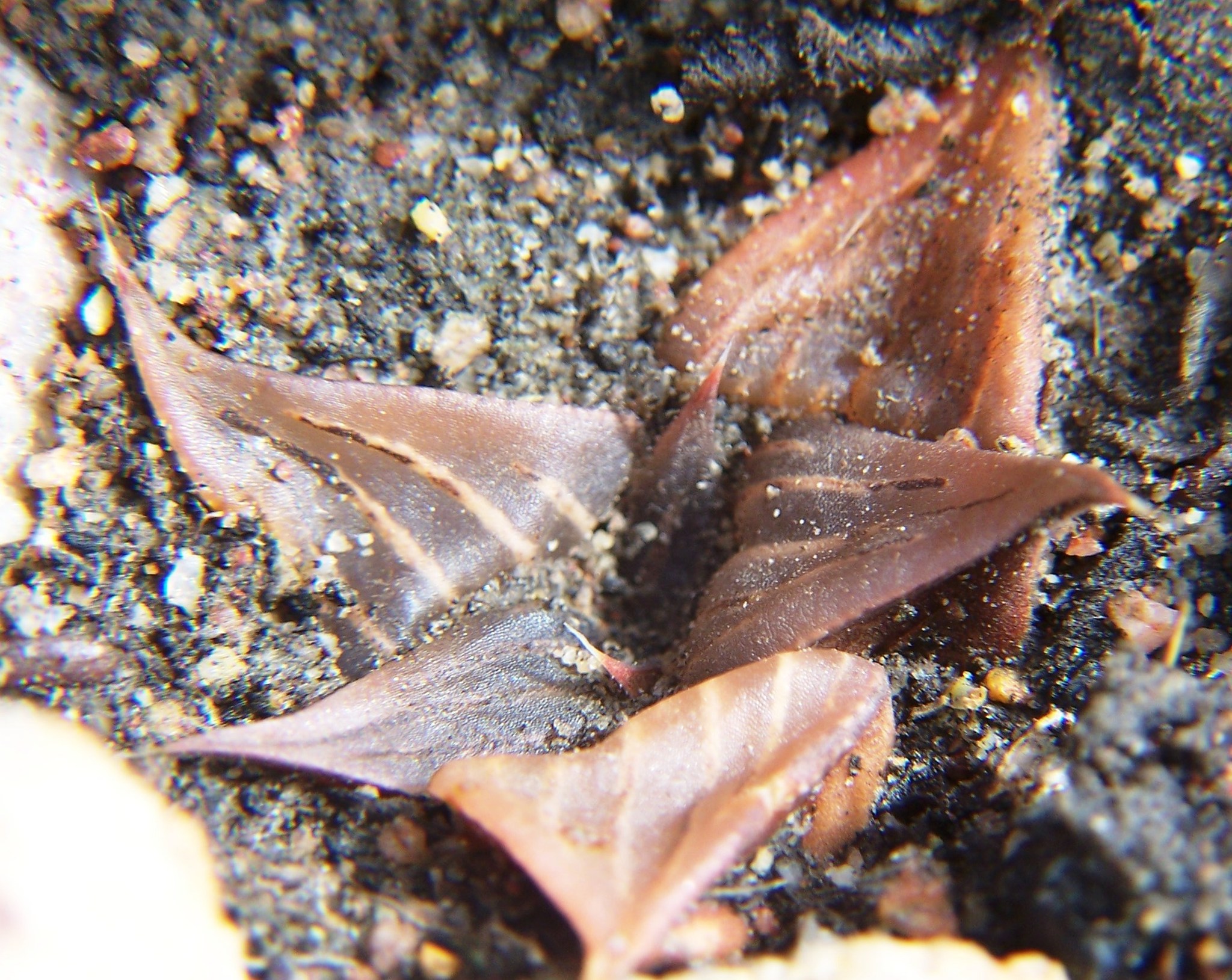
Leaving the Potberg, returning to bobii at Infanta and then searching along the lower slopes between the Potberg and the Breede River. Just in what respect and by what margin do the next three populations differ from the previous 4? This was March 2006.

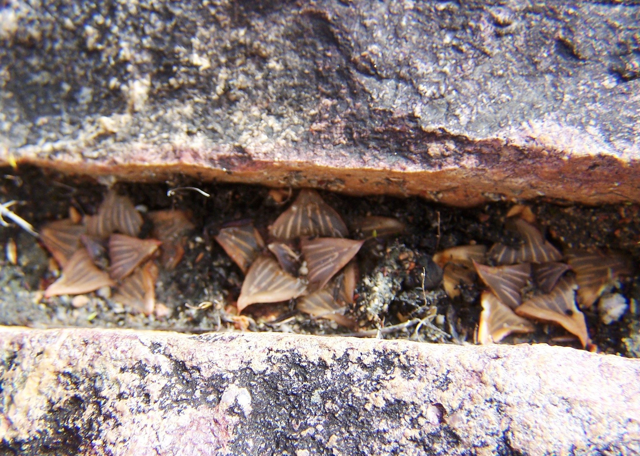
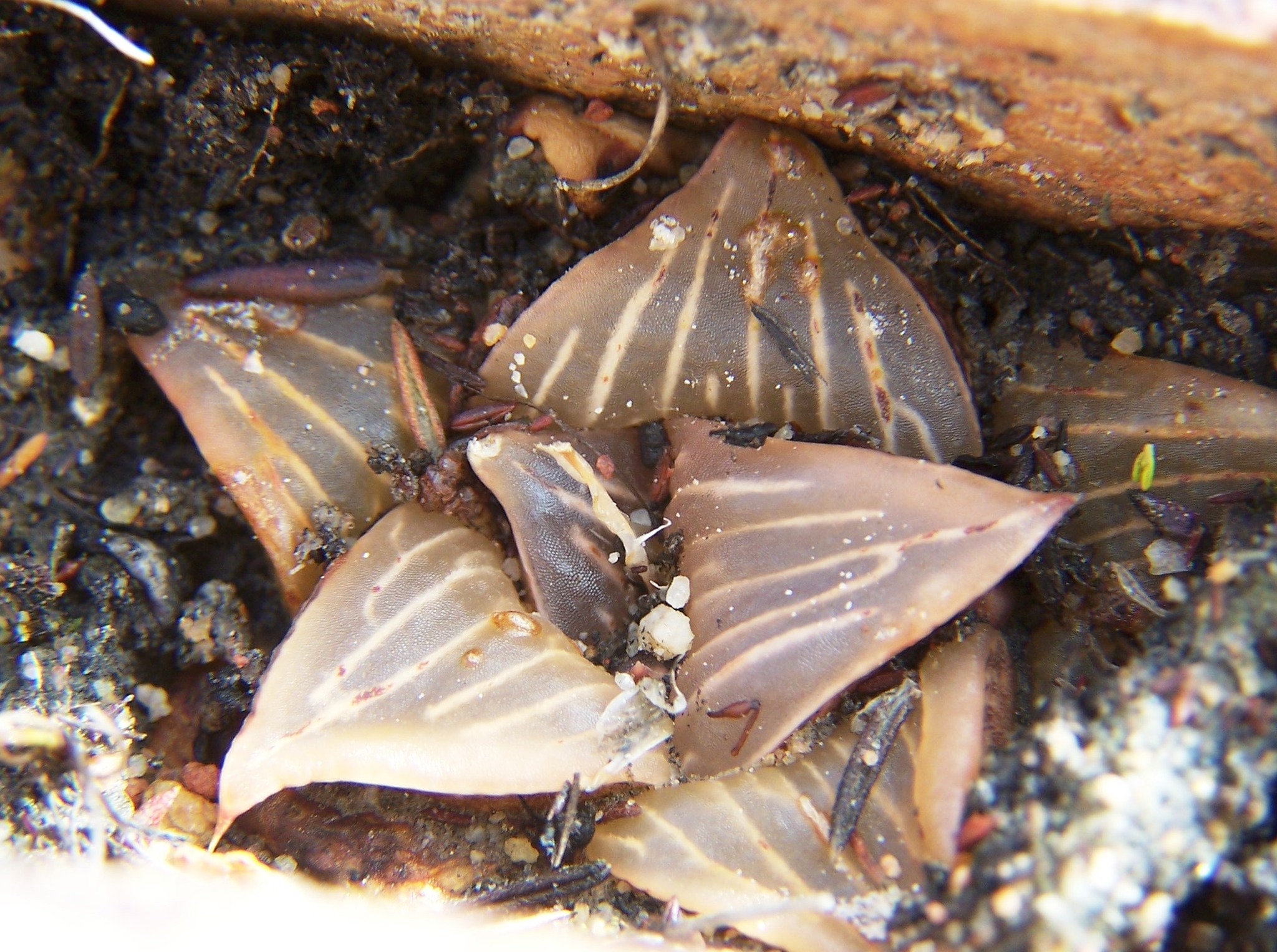
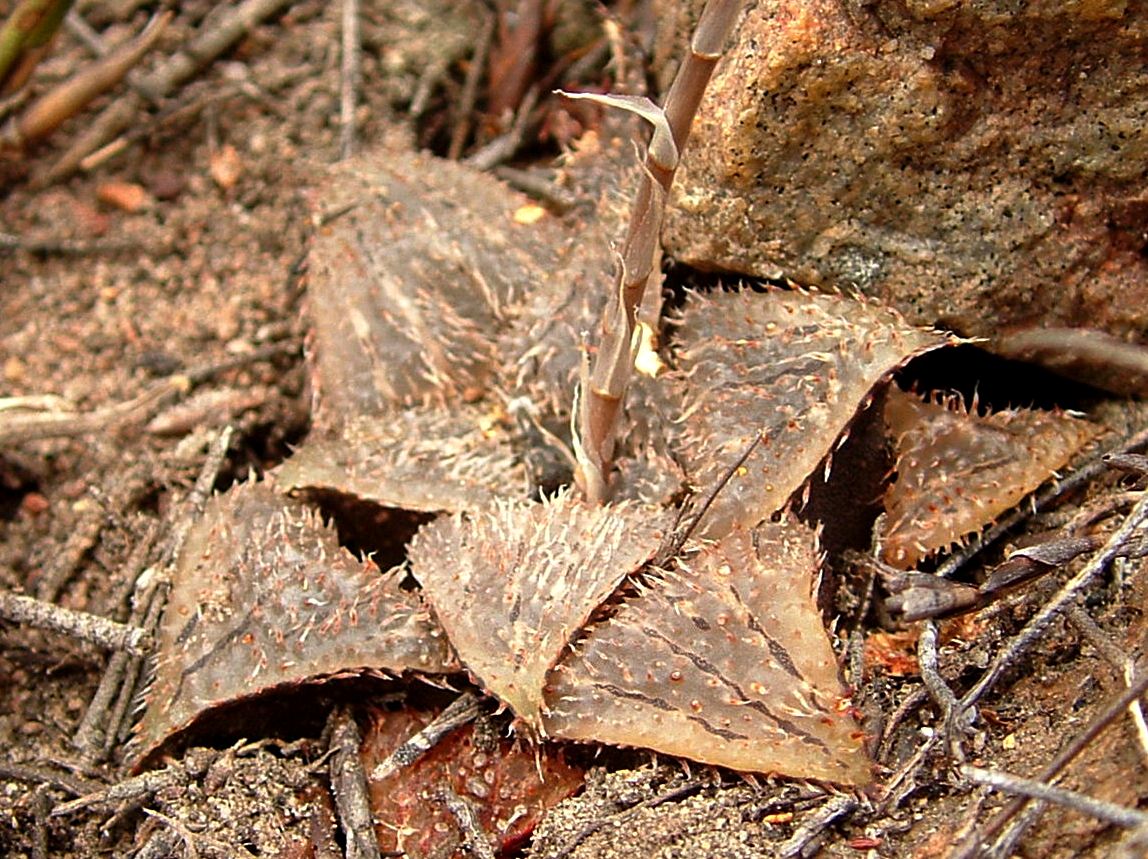
It is a bit of overdose because these are pictures of the same population as previously but taken a year later in September.

…