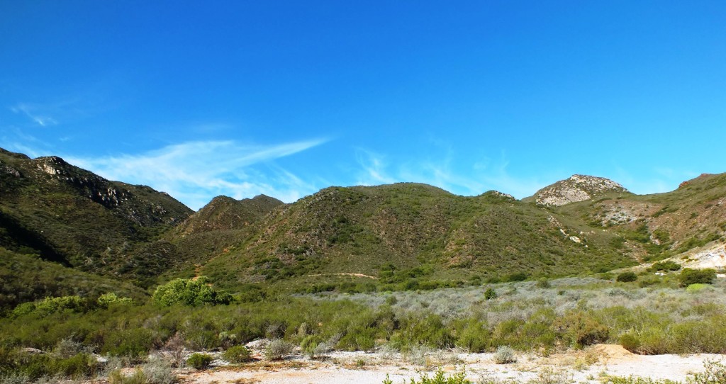
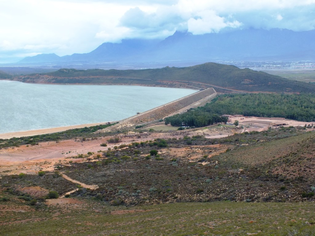
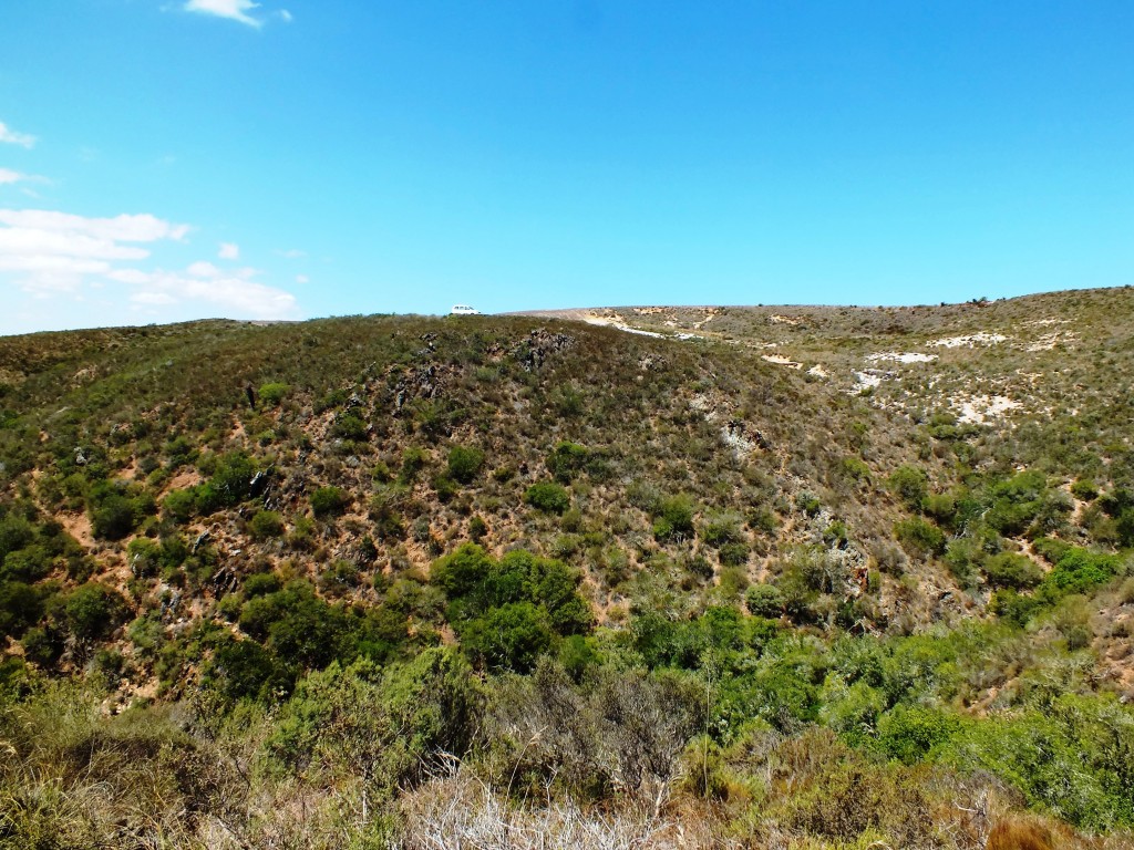
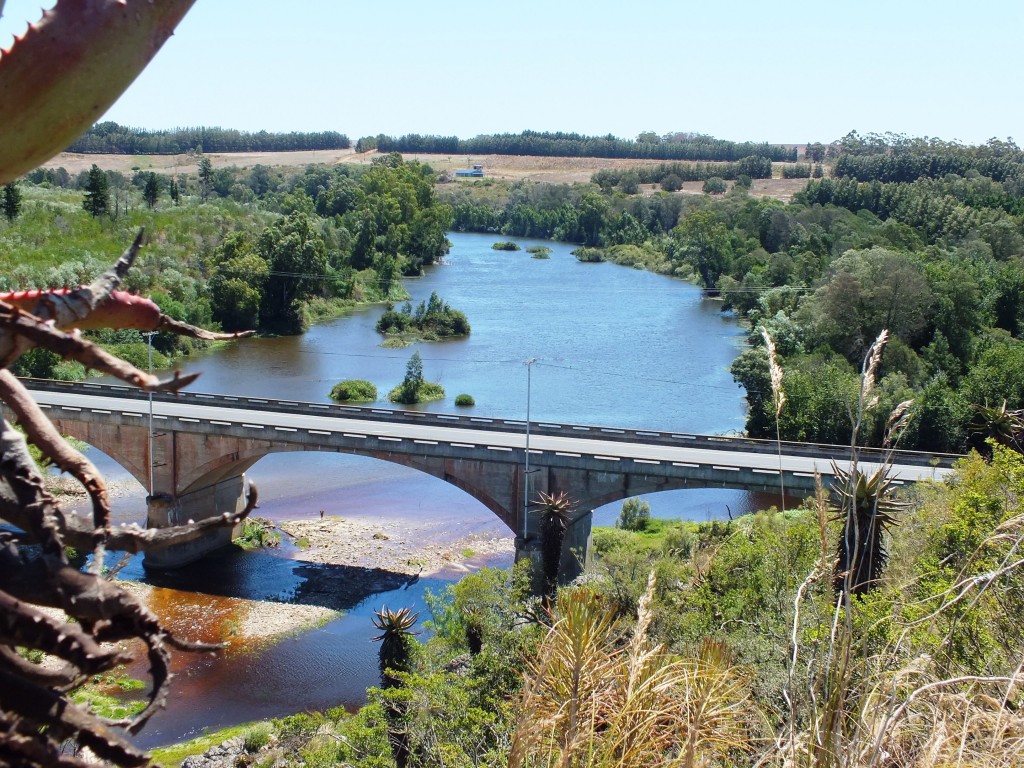
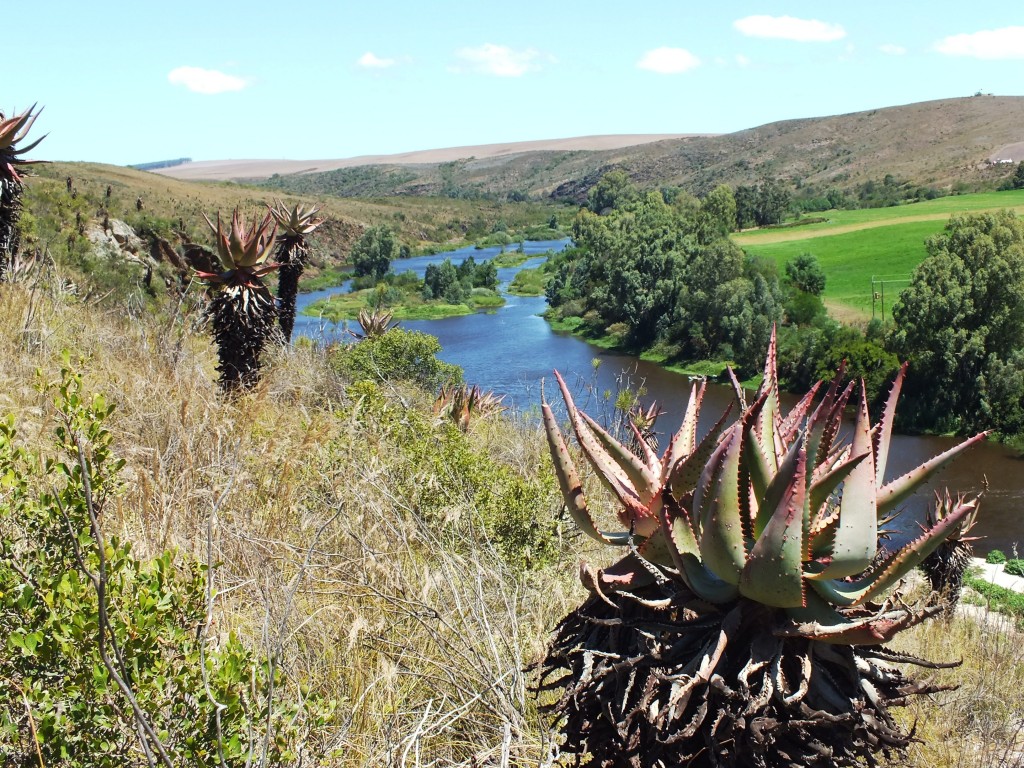
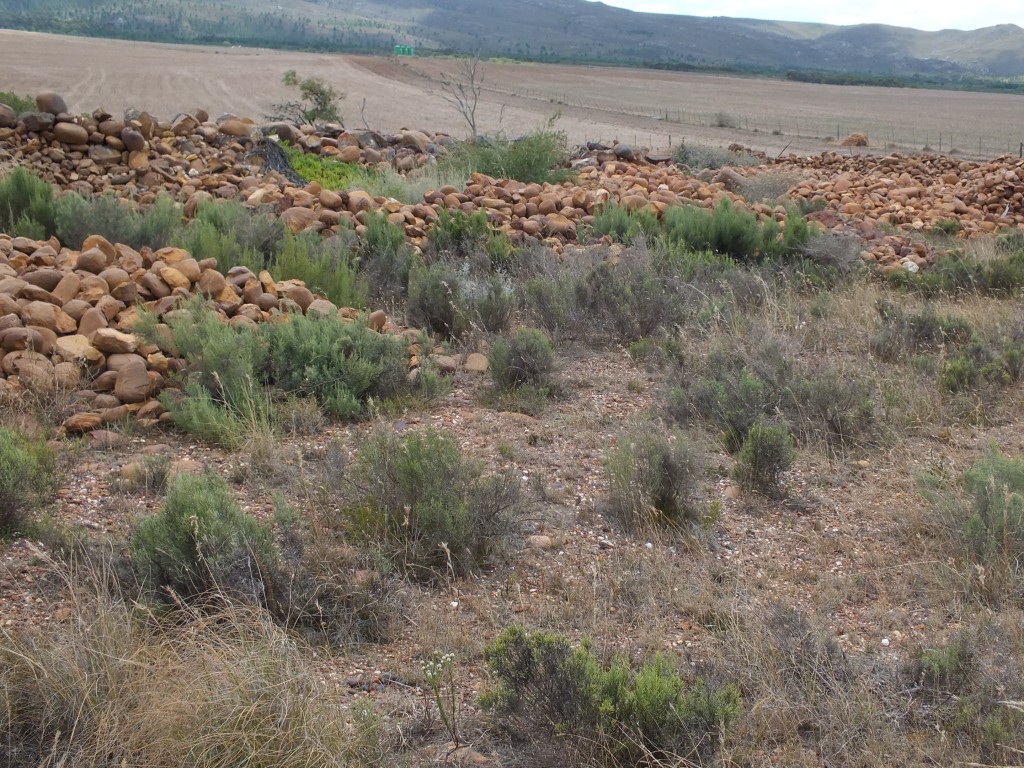
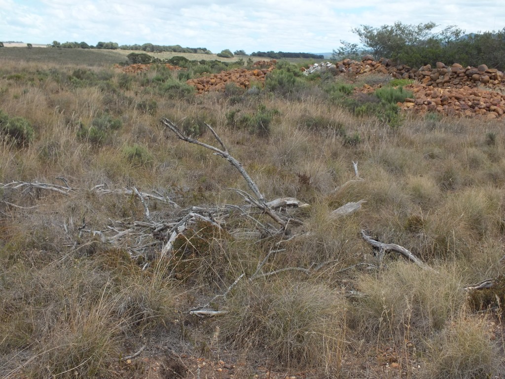
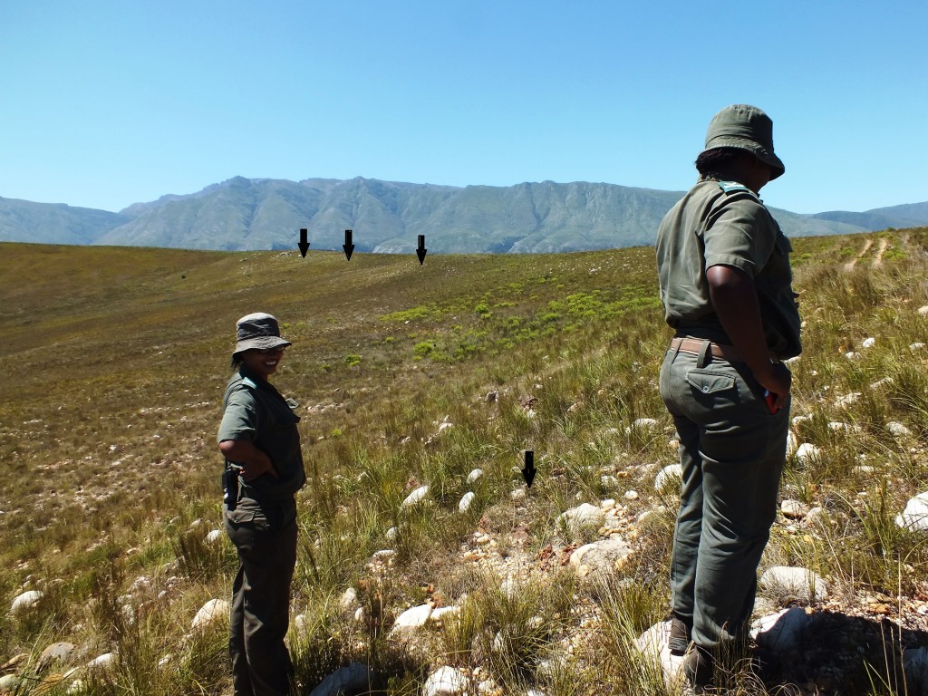
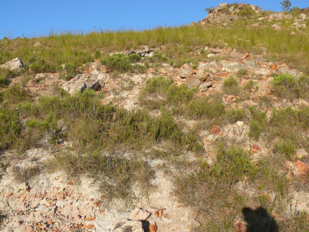
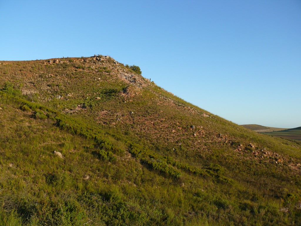
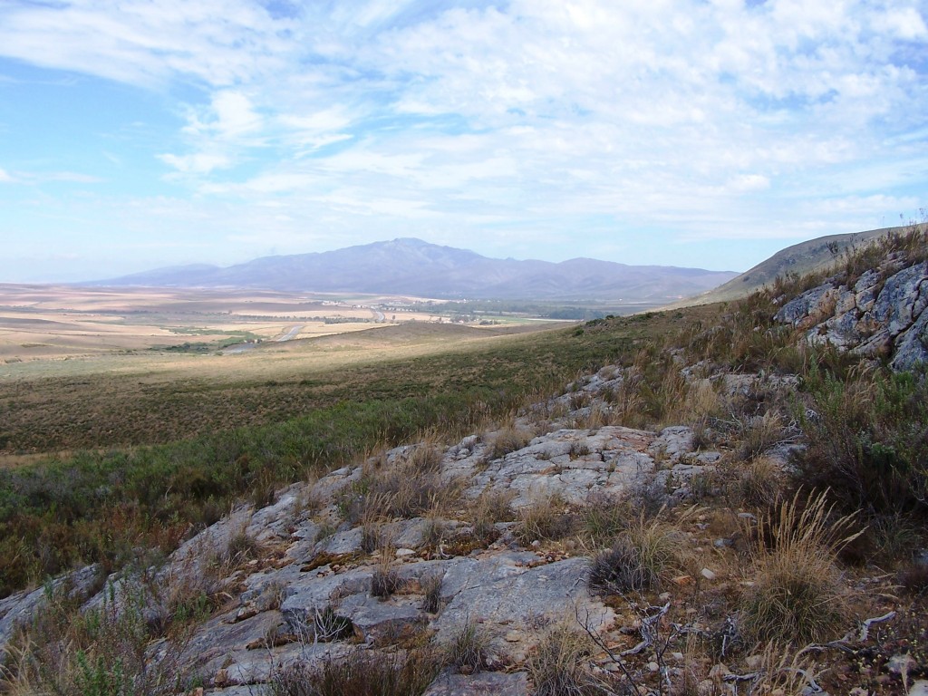
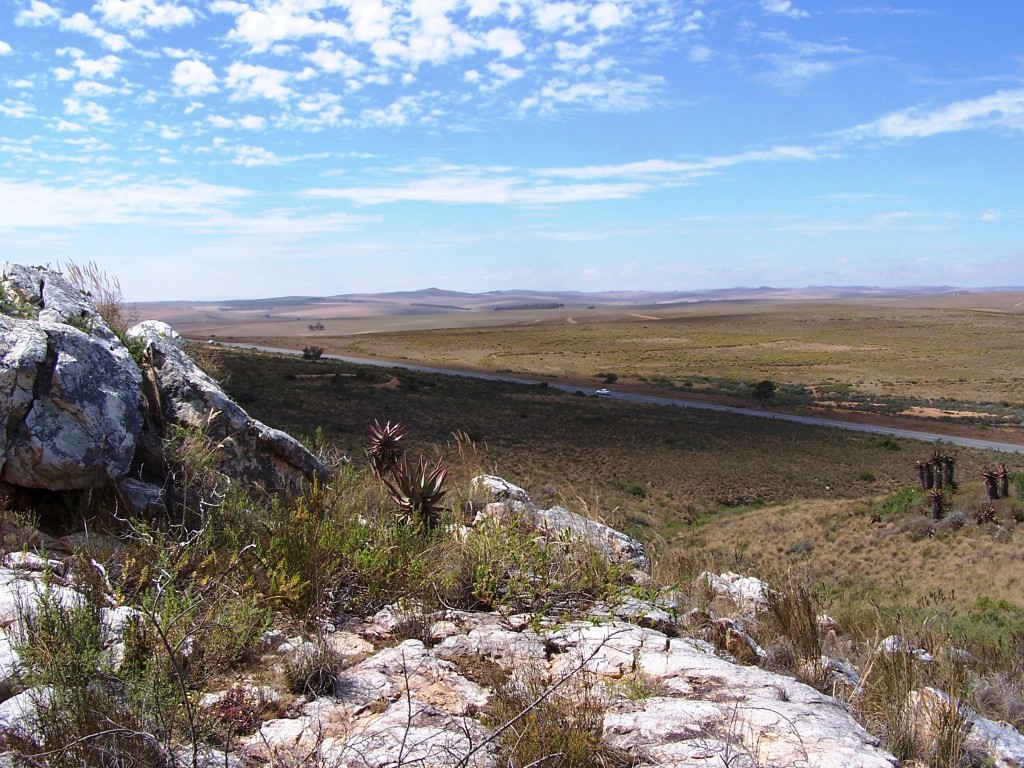
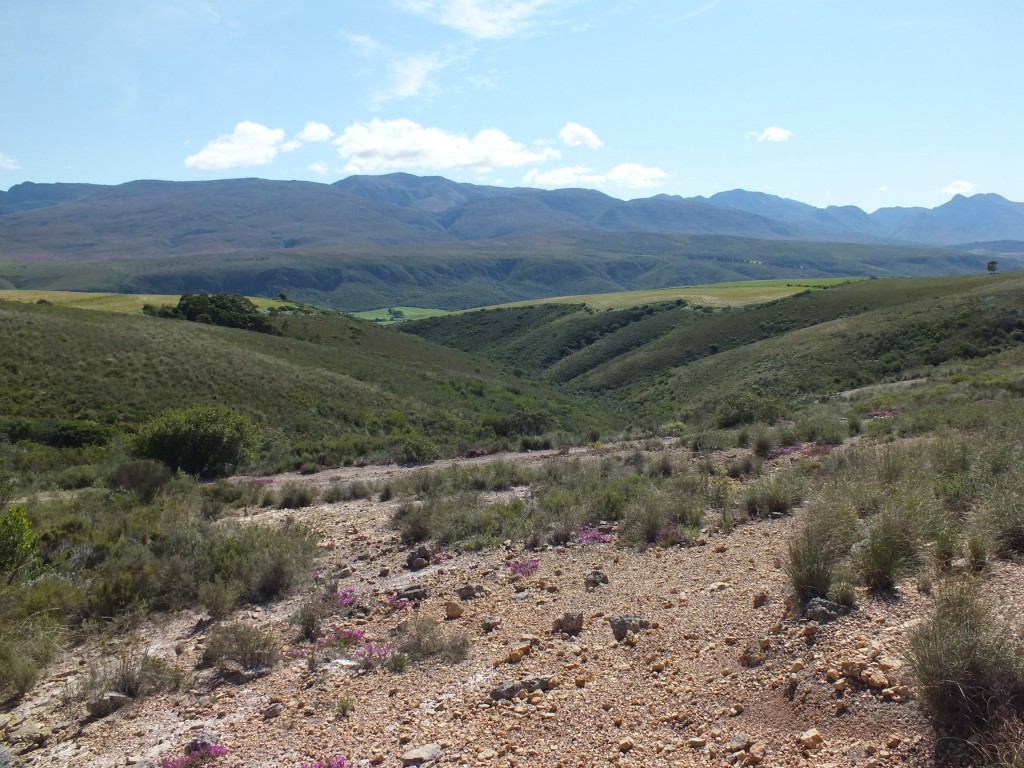
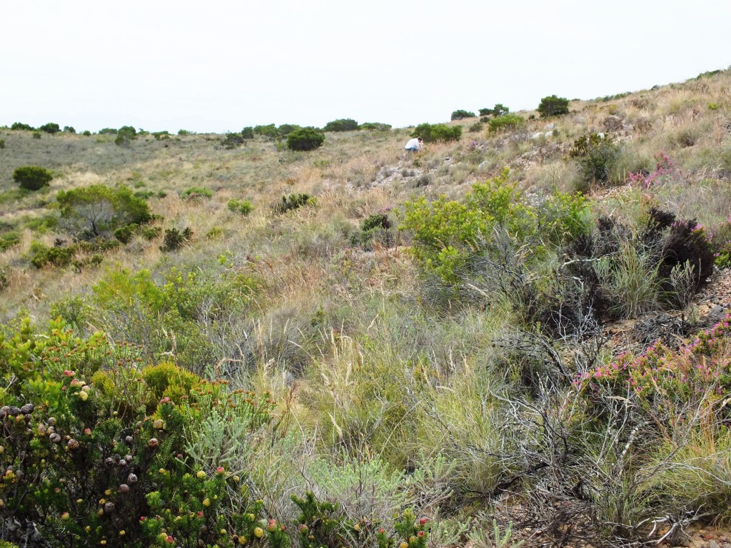
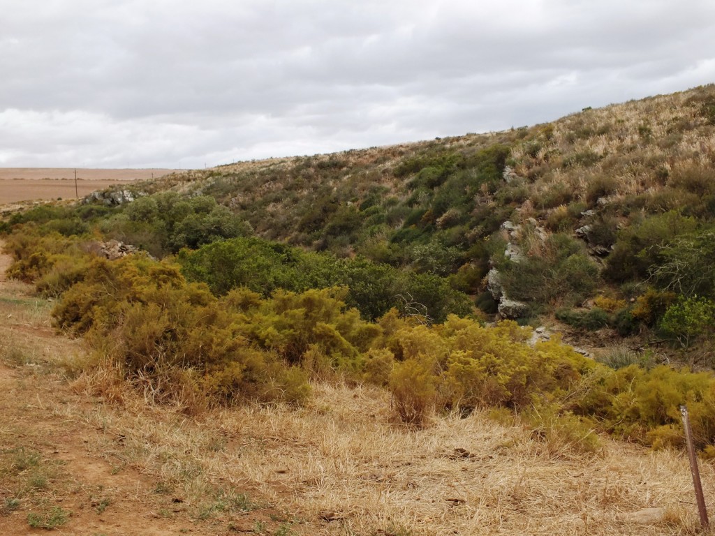
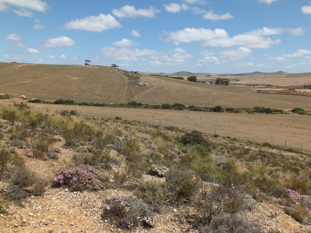
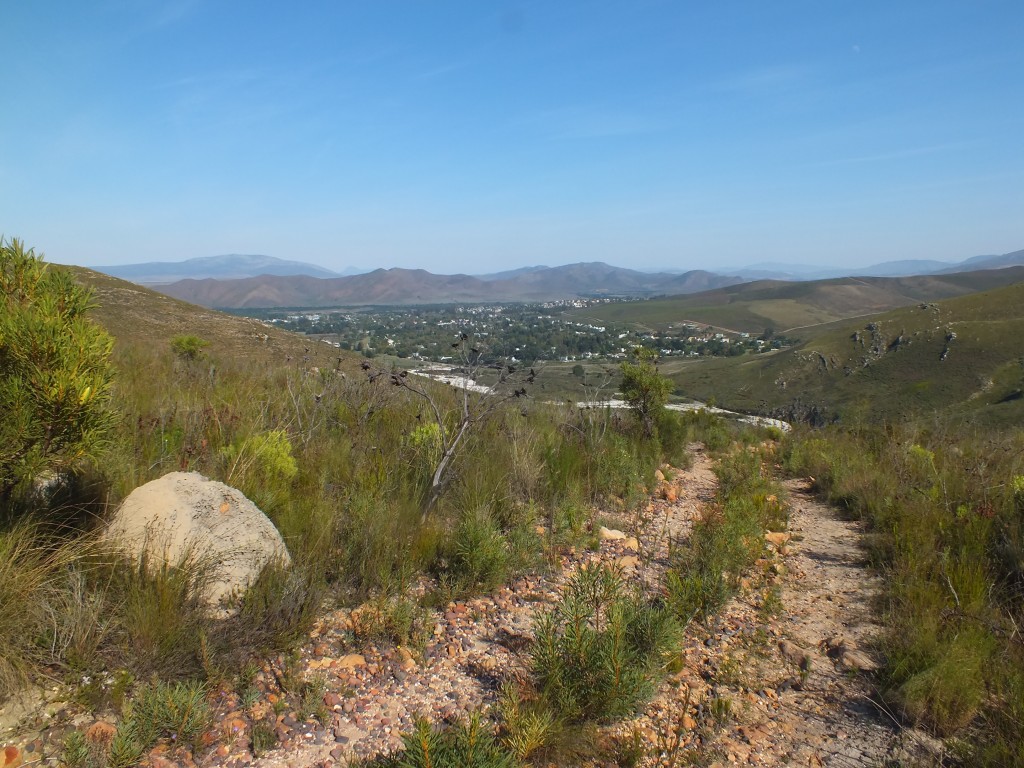
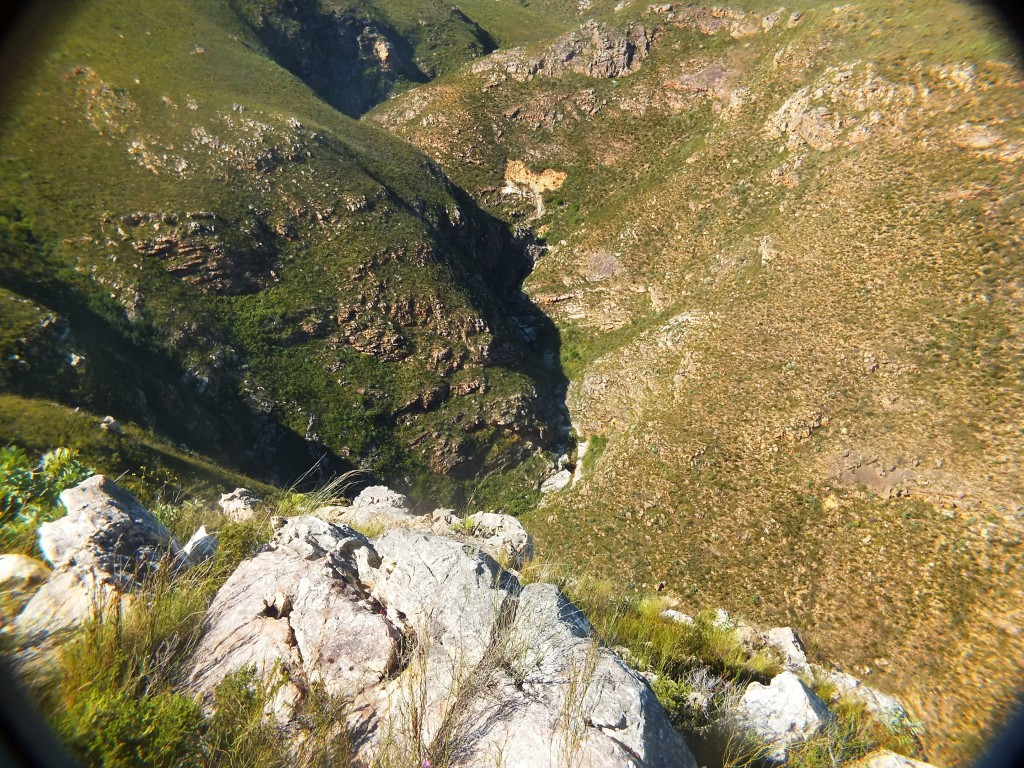
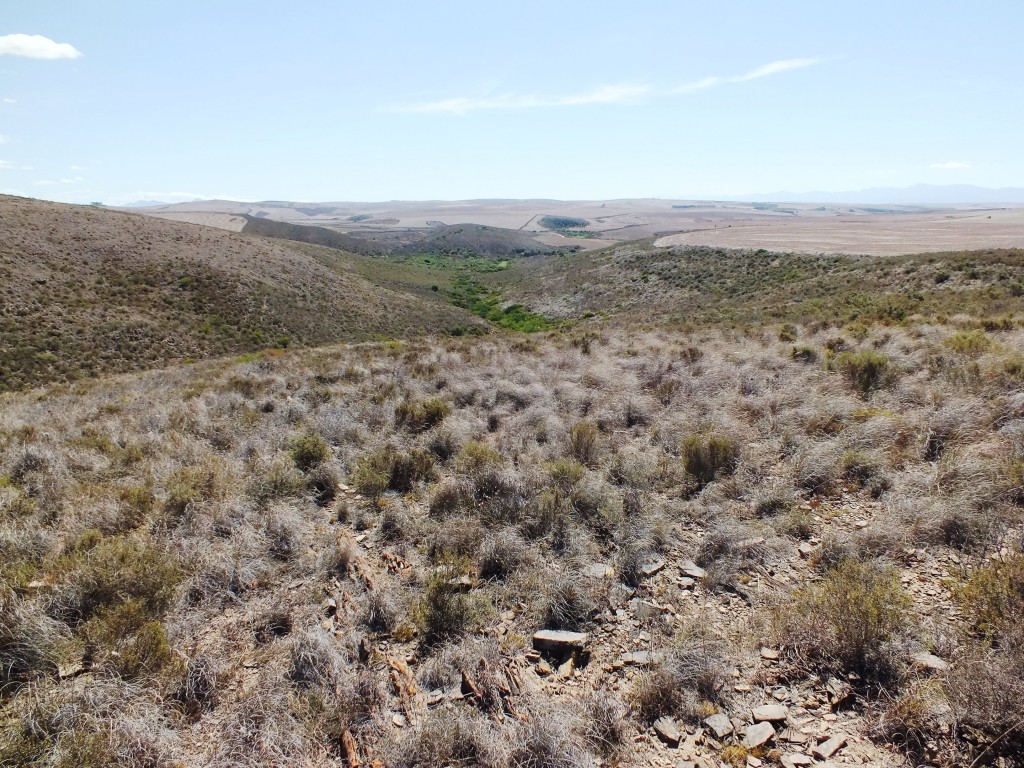
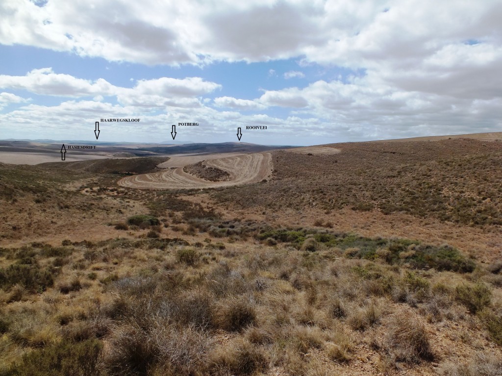
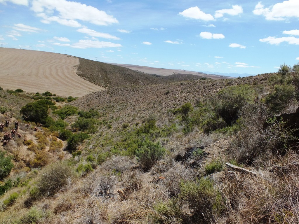
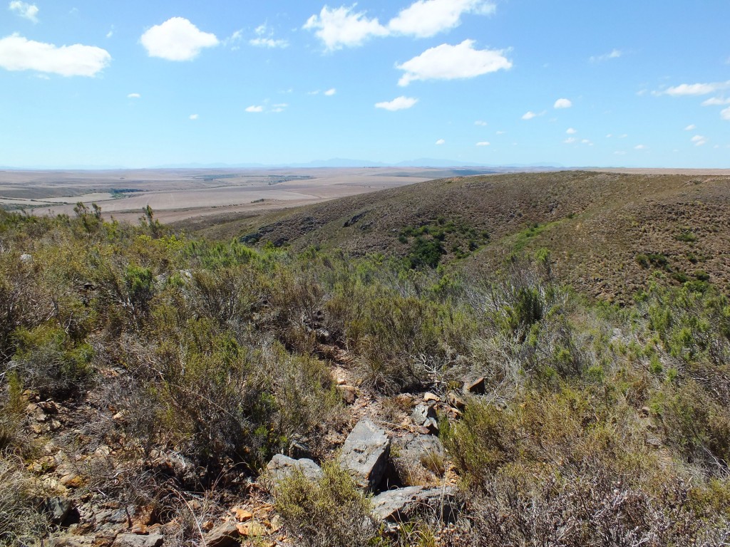
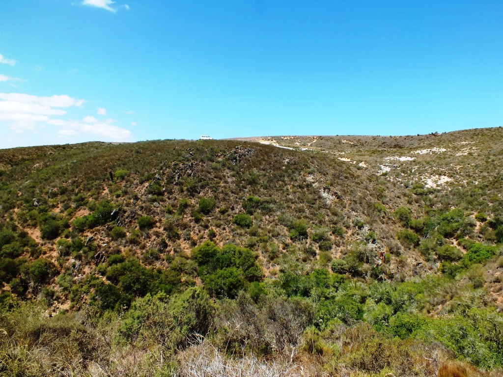
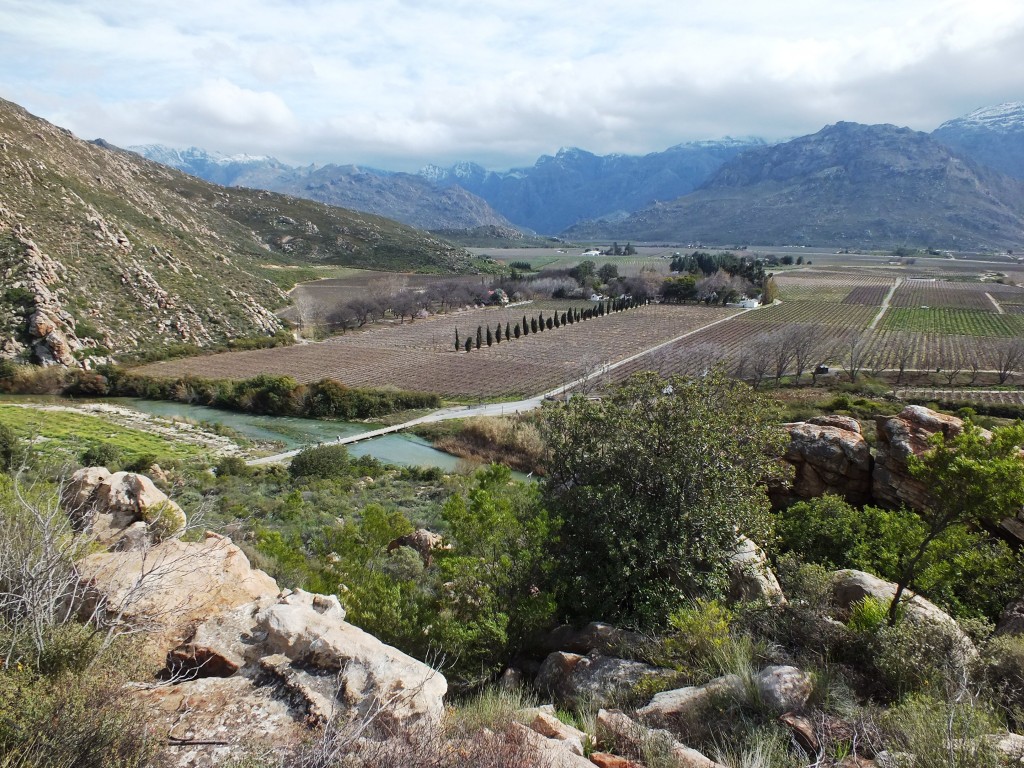
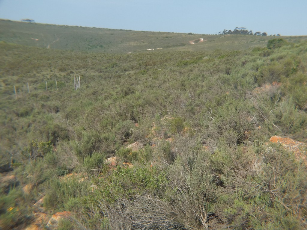
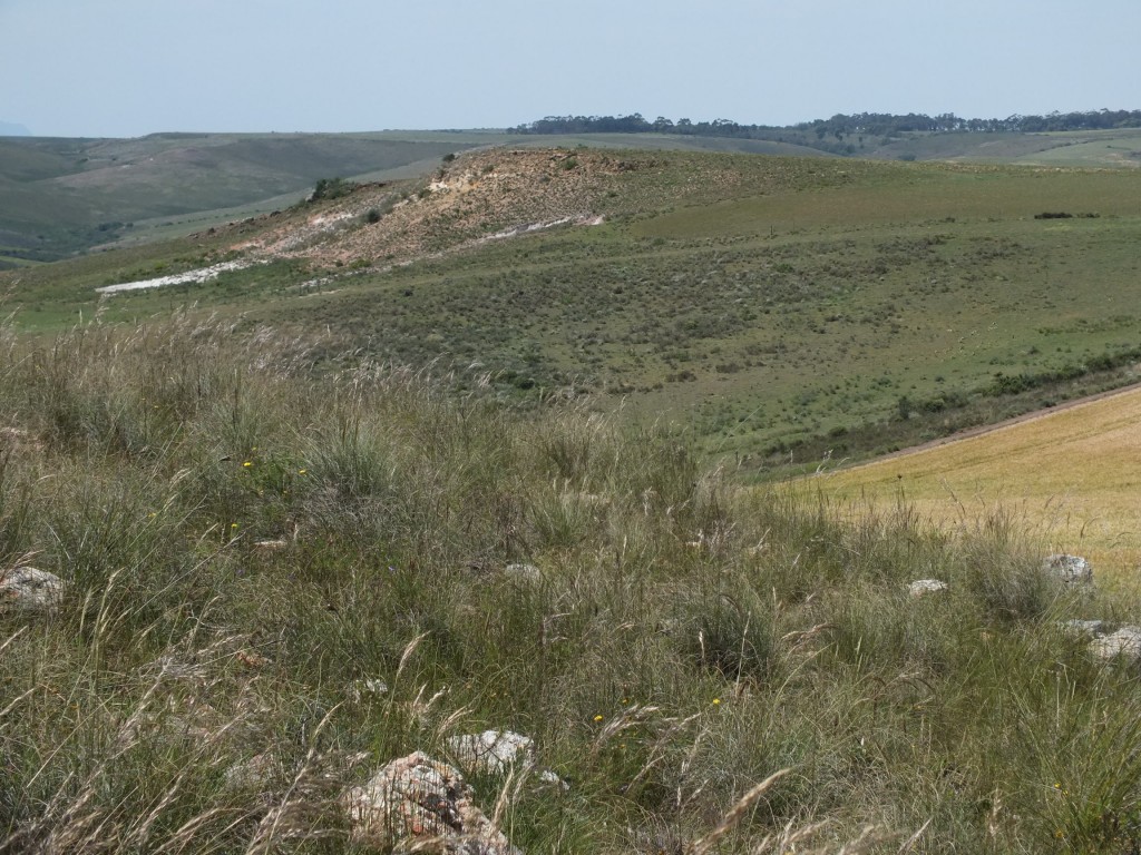
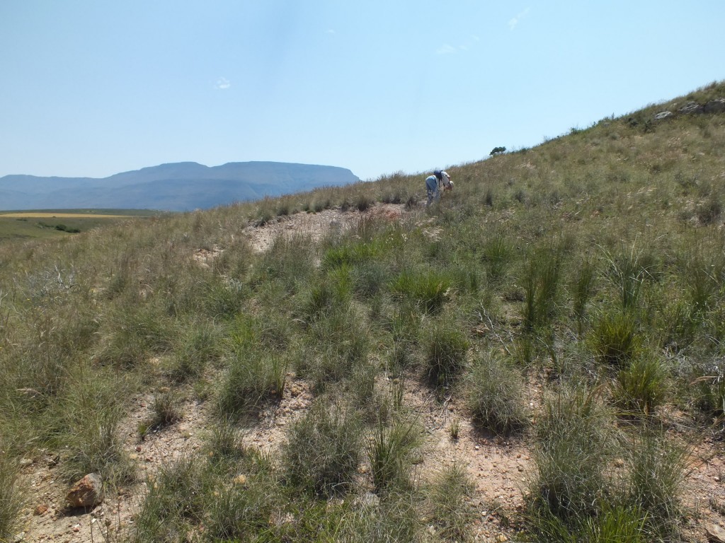
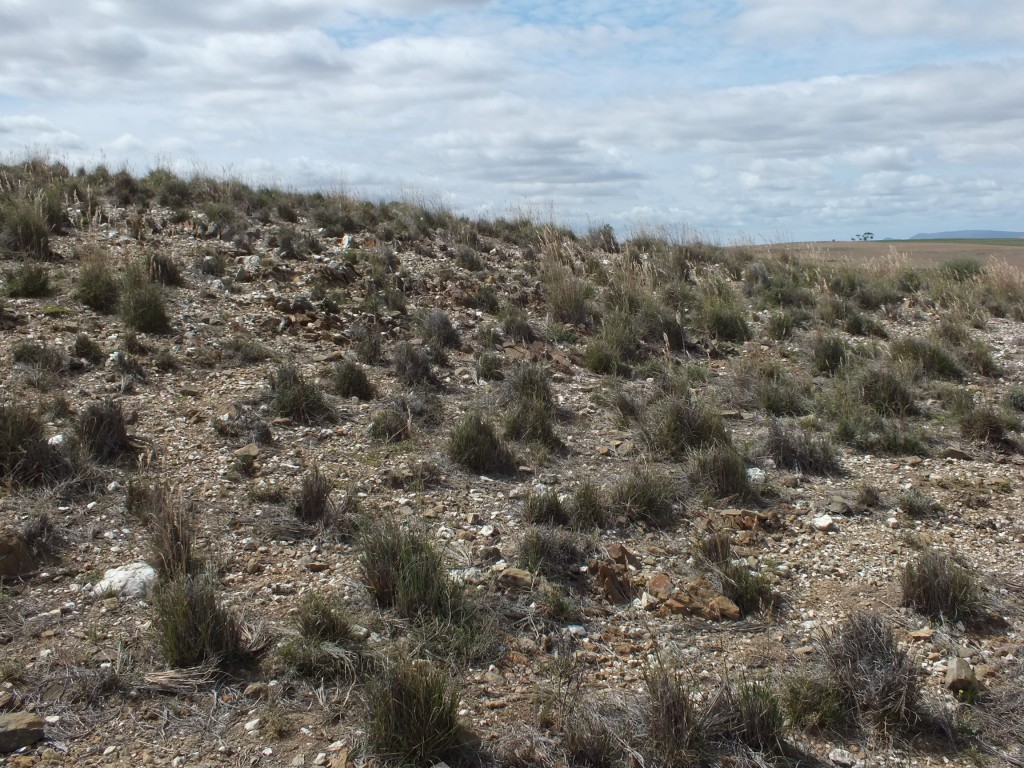
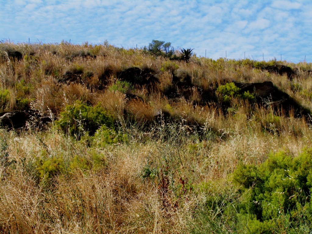
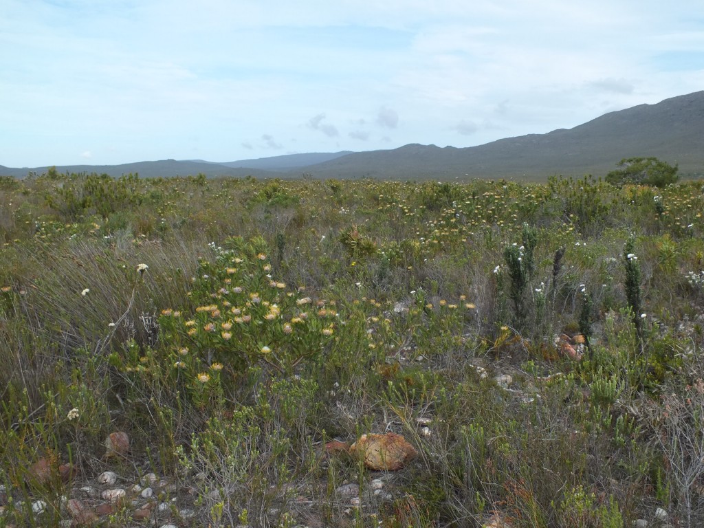
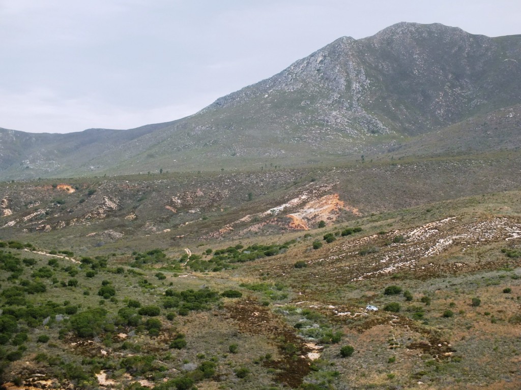
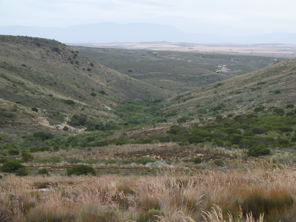
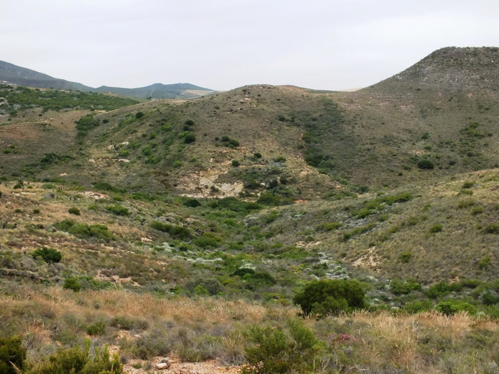
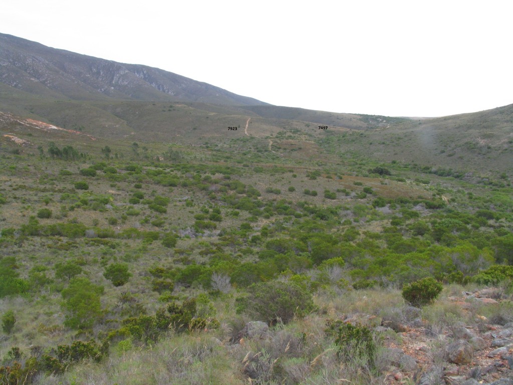
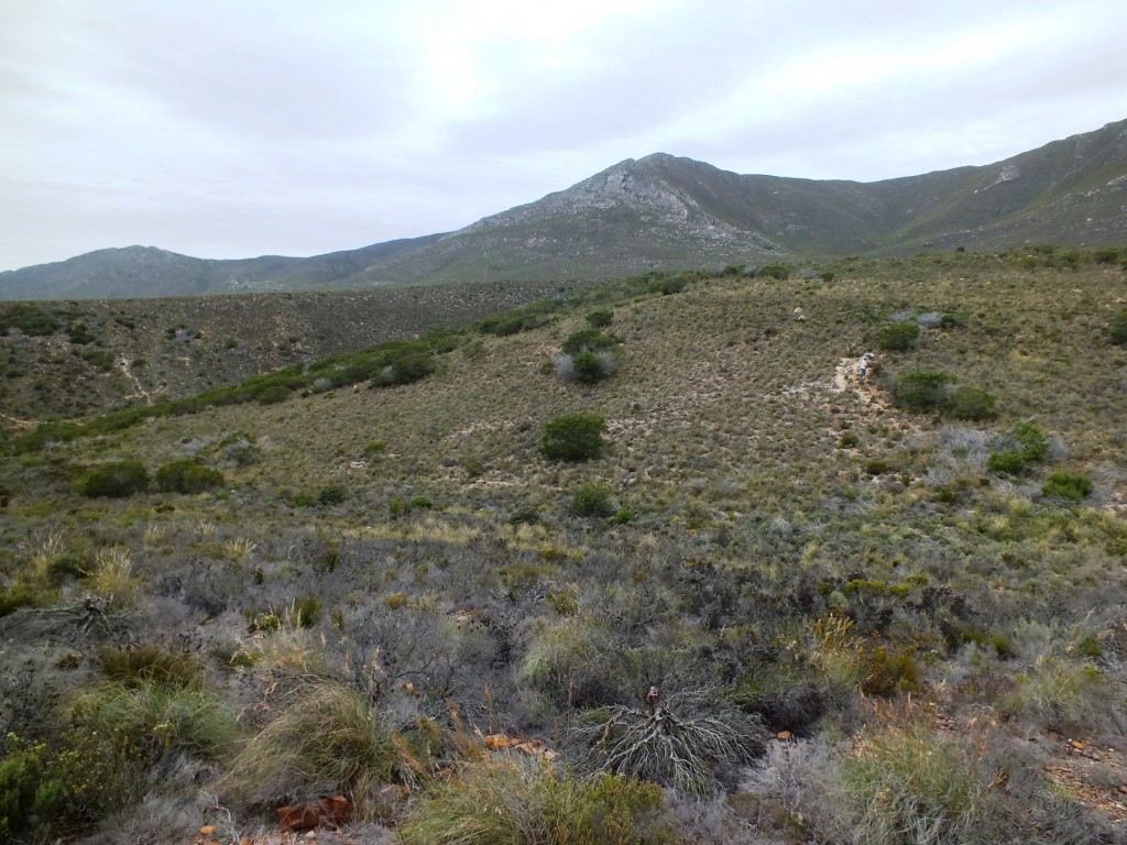
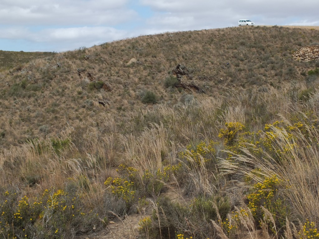
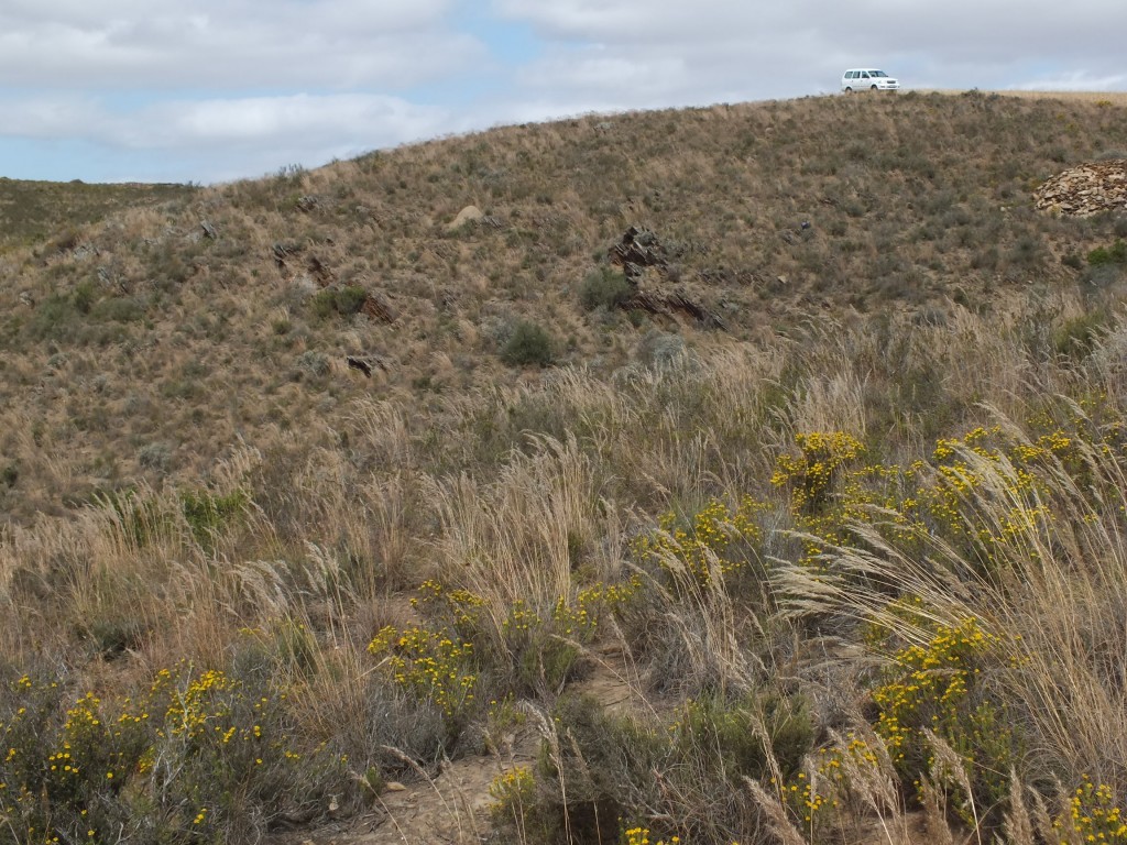
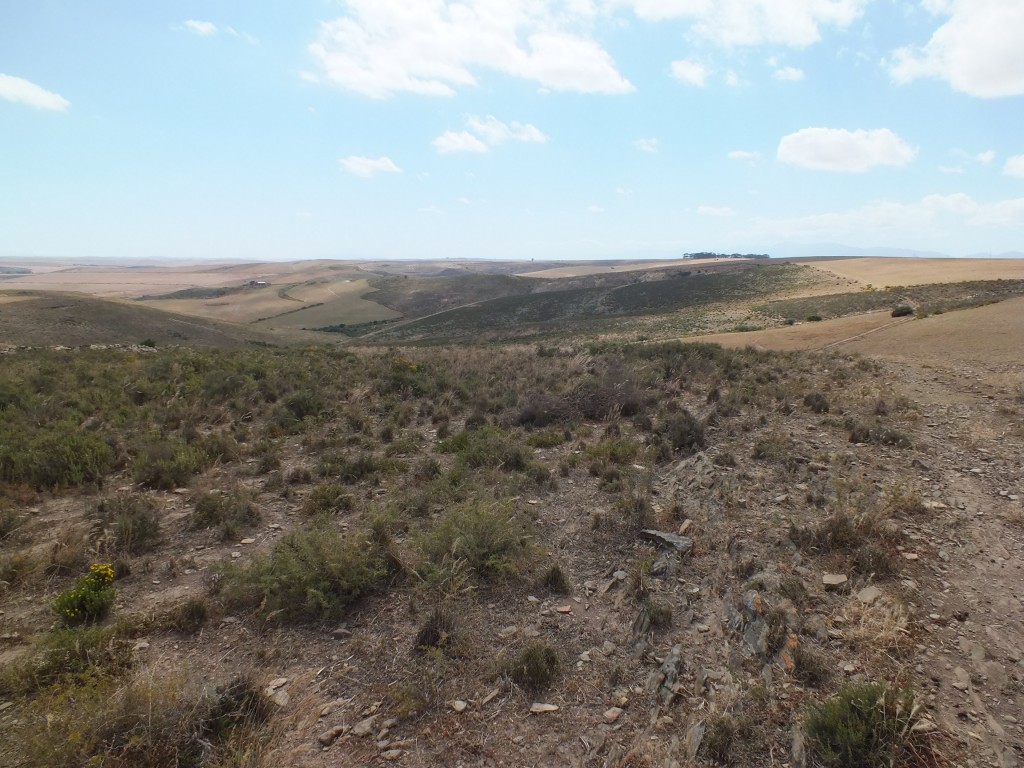
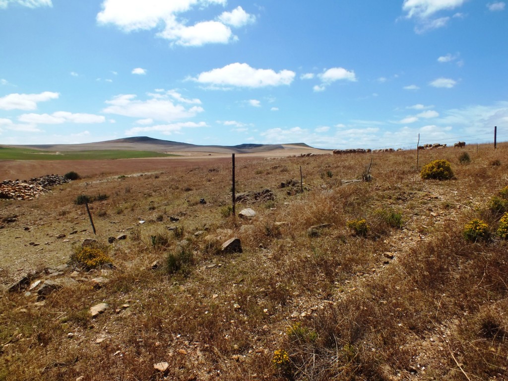
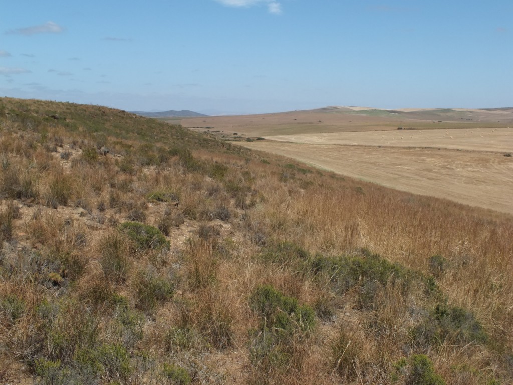
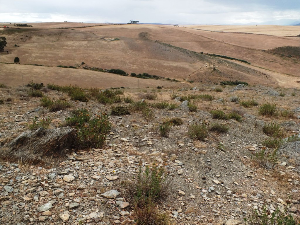
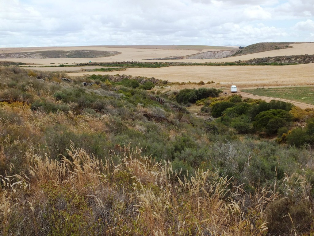
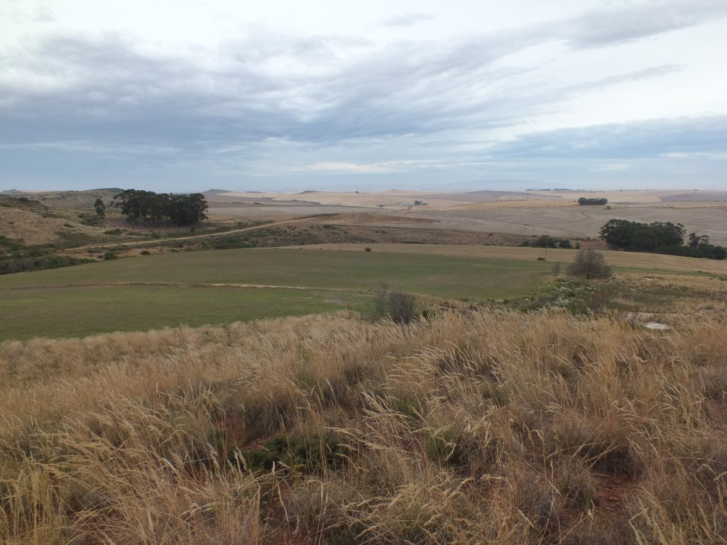
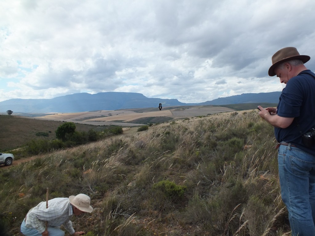
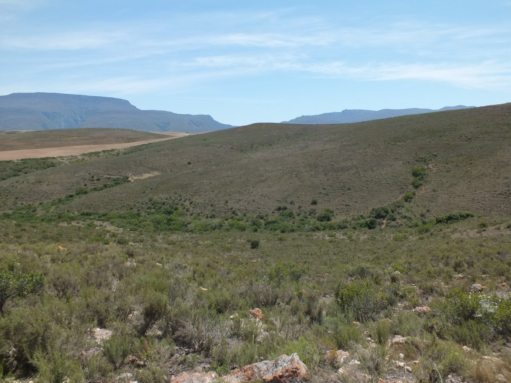
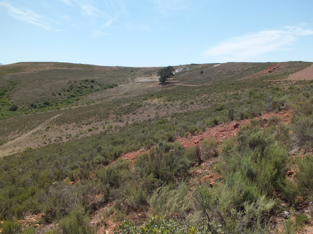
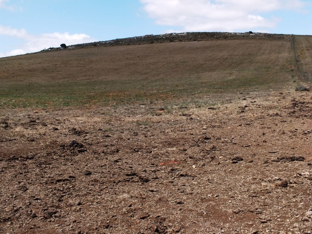
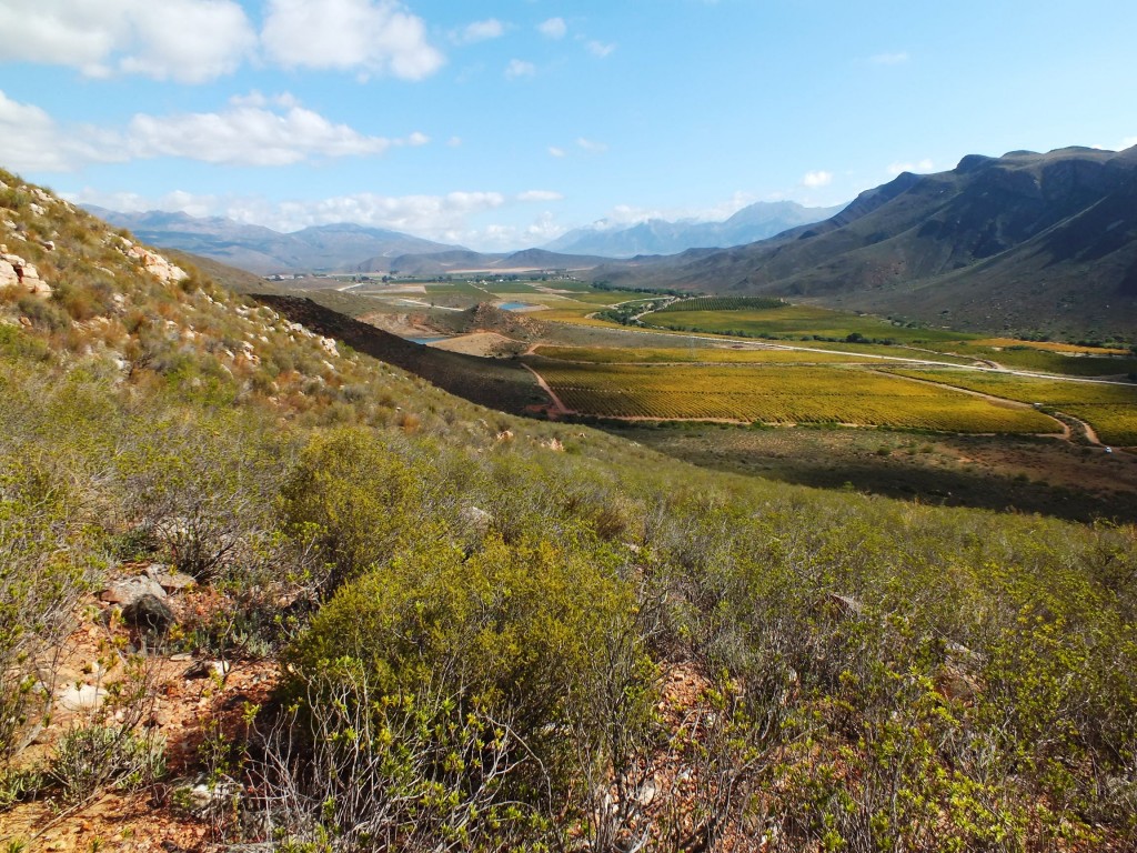
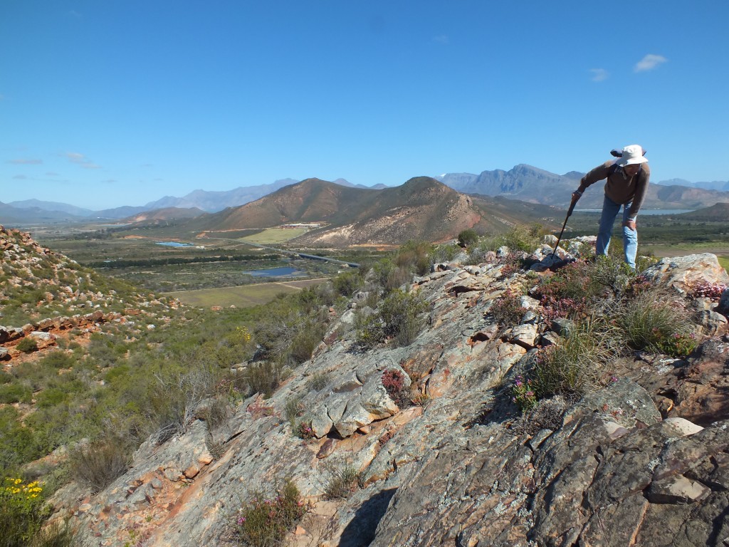
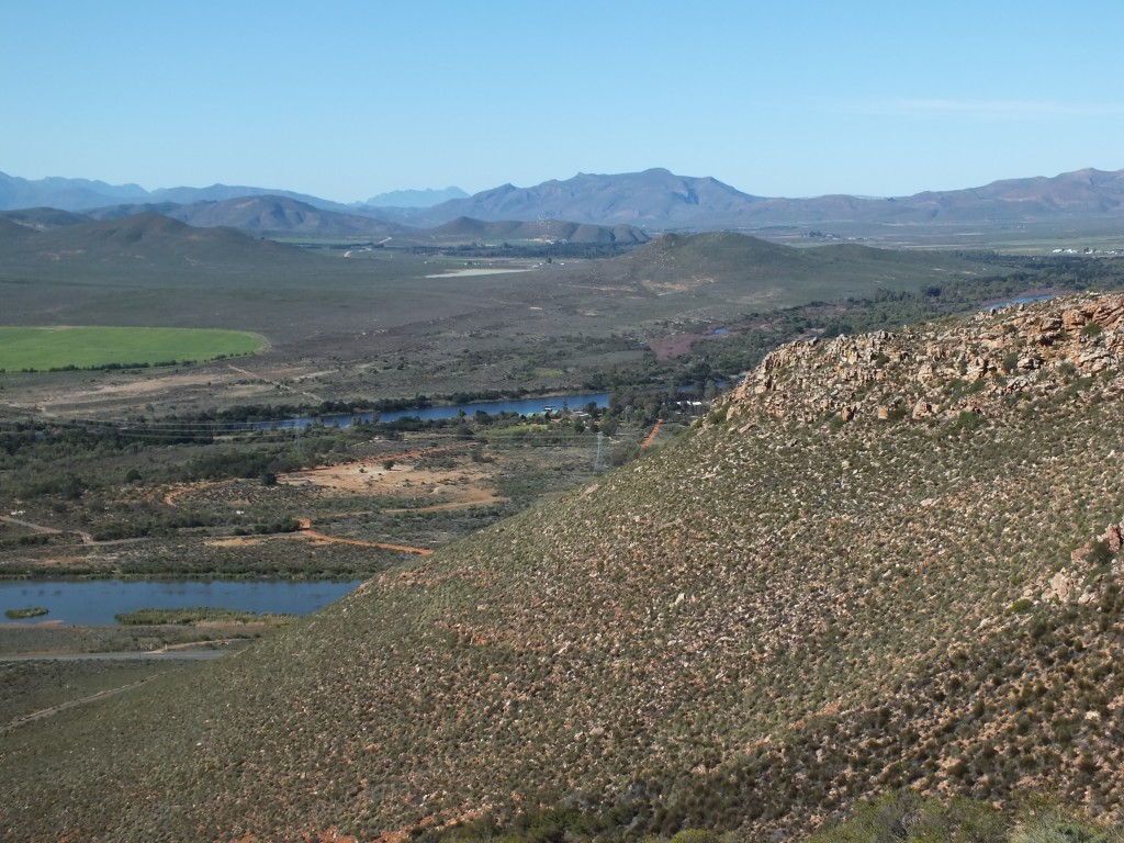
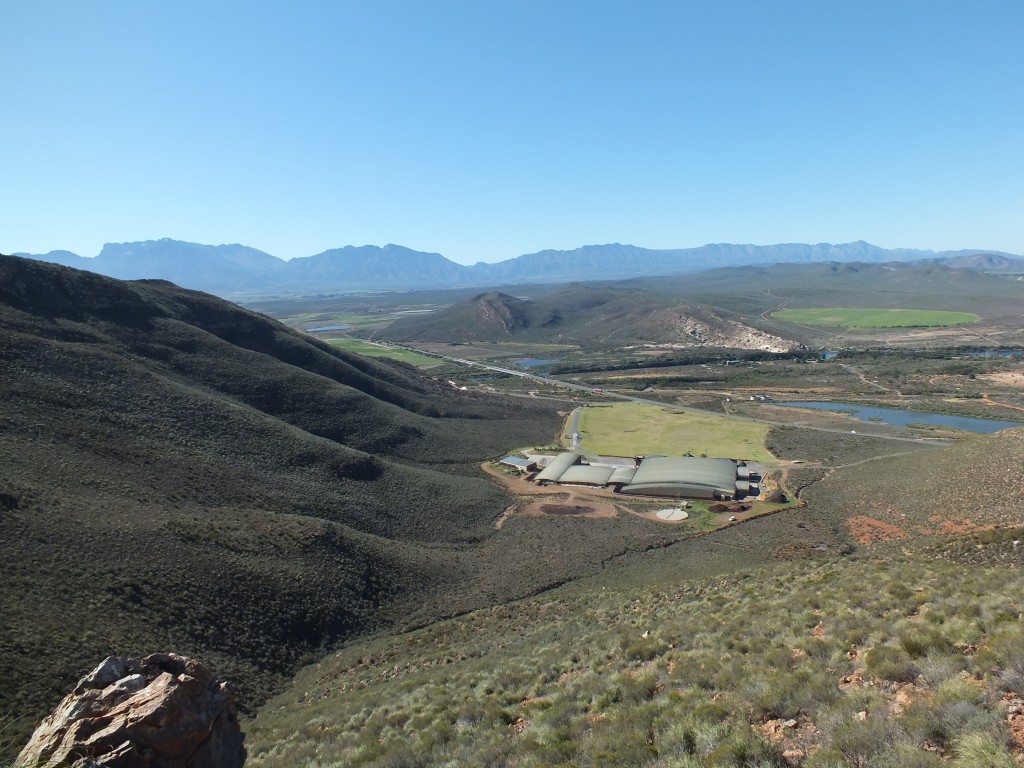
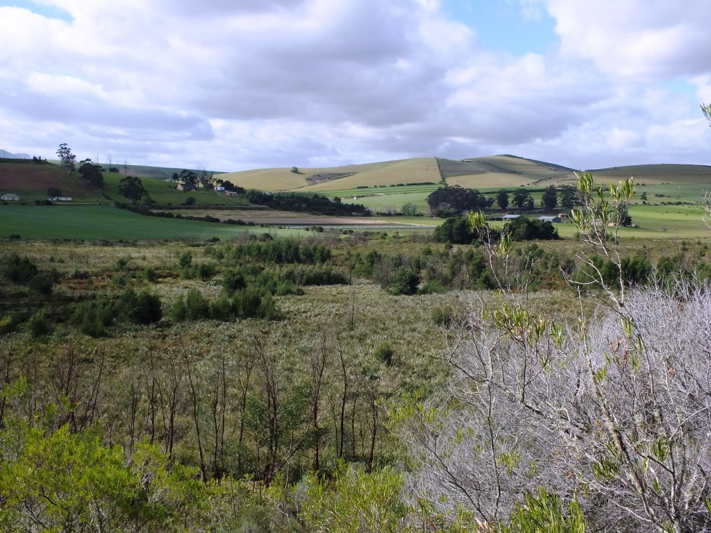
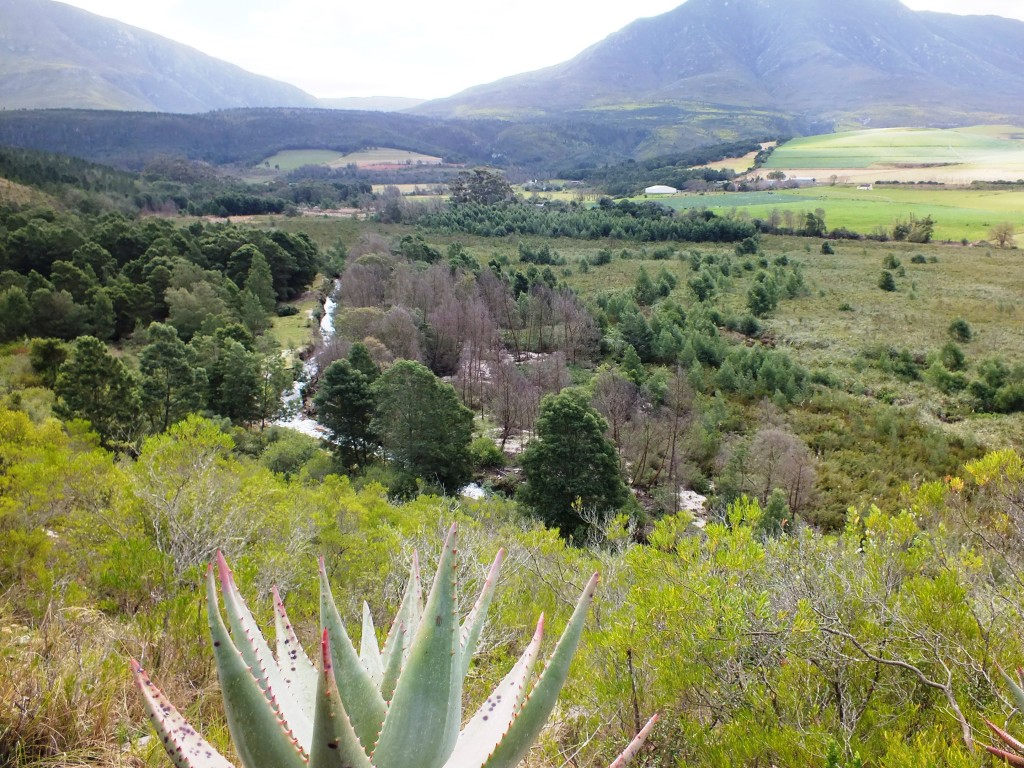
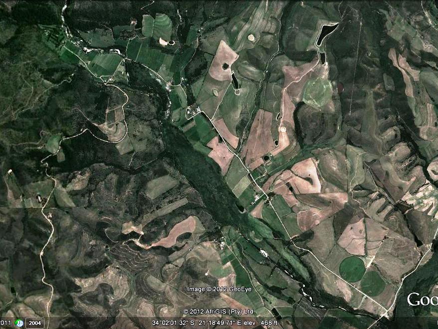
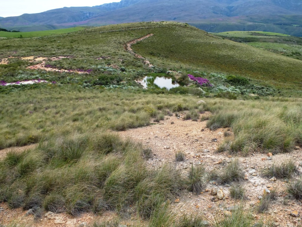
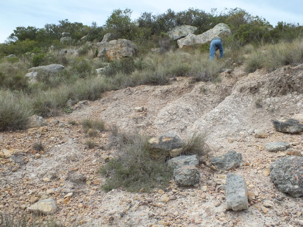
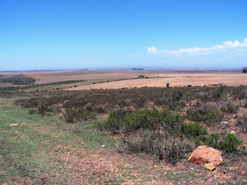
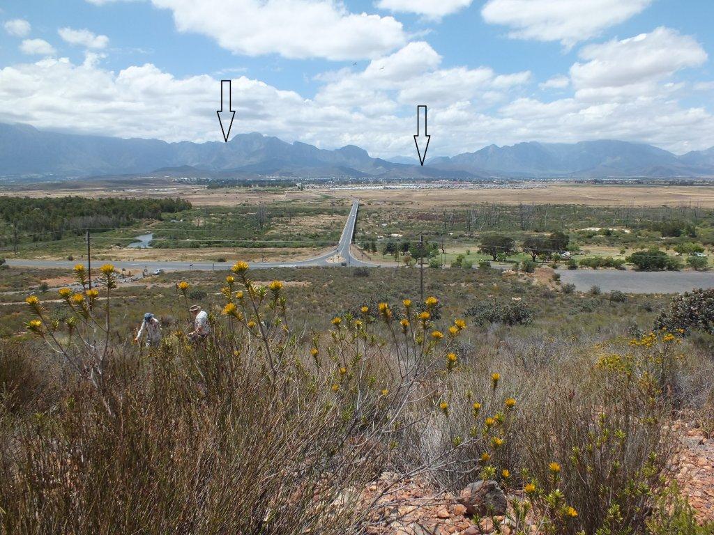
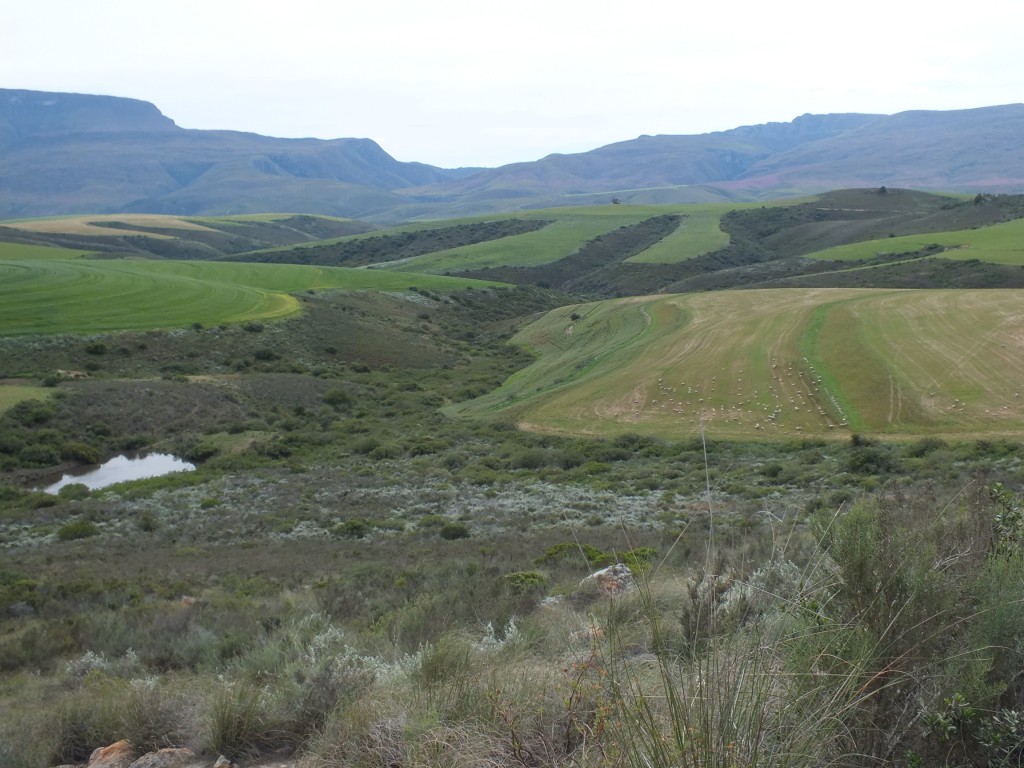
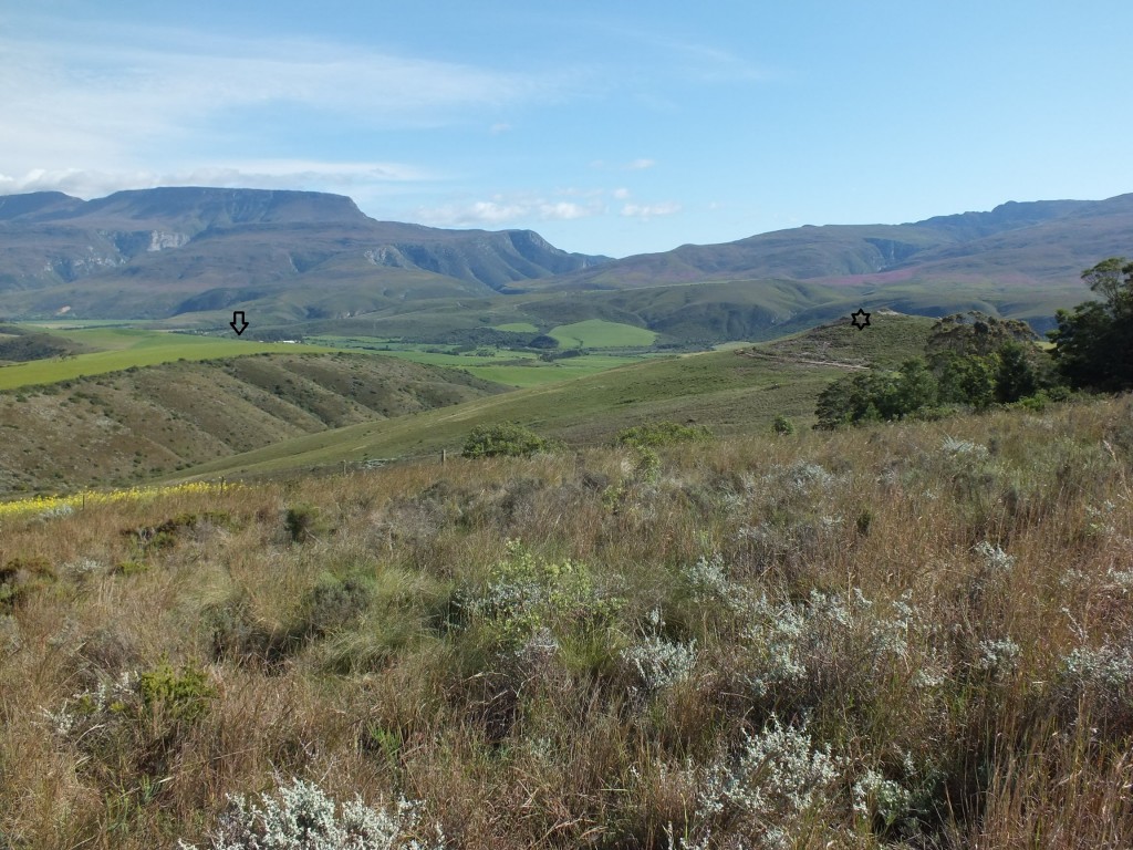
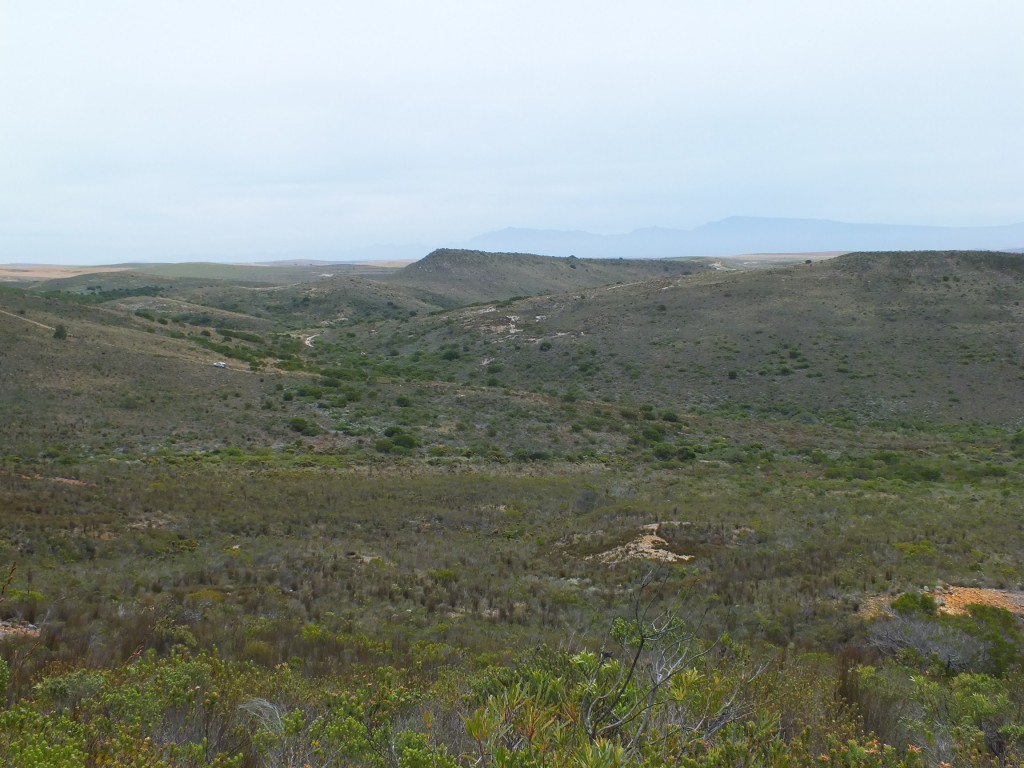
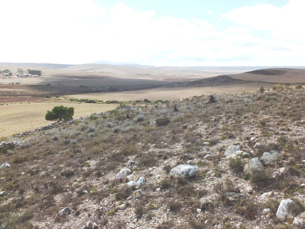
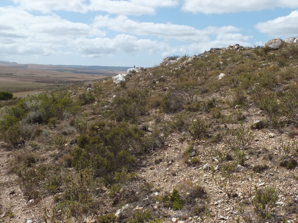
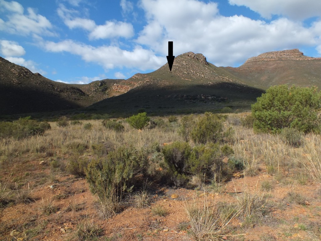
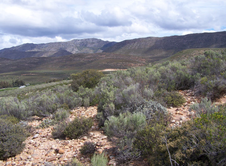
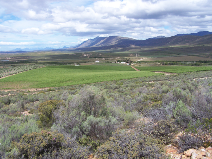
Even living in South Africa and frequently moving about in the countryside, it is very difficult to appreciate the magnitude of the task of trying to understand Haworthia. The scale and the extent of the problem is only appreciated after many many footsore miles. The terrain where the plants grow is invariably rocky and steep, the rocks and soil loose underfoot and access often denied by fences and general inaccessibility. A false sense of understanding is given by those populations which can be seen from the window of a car – and despite the small size of the plants, there are many populations which are that easy to find.
However, the problem is in trying to establish similarities and differences between different populations – in trying to find something which might not be there. Populations can be so small and restricted, or the plants so cryptic, that it can often only be claimed of an area that no plants were found. And not that nothing is present there.
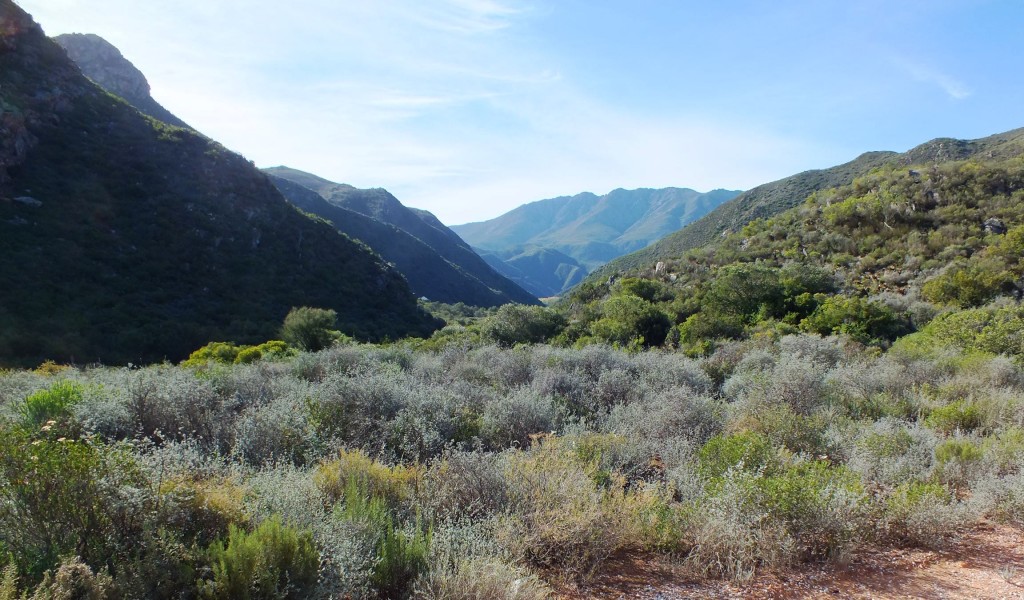
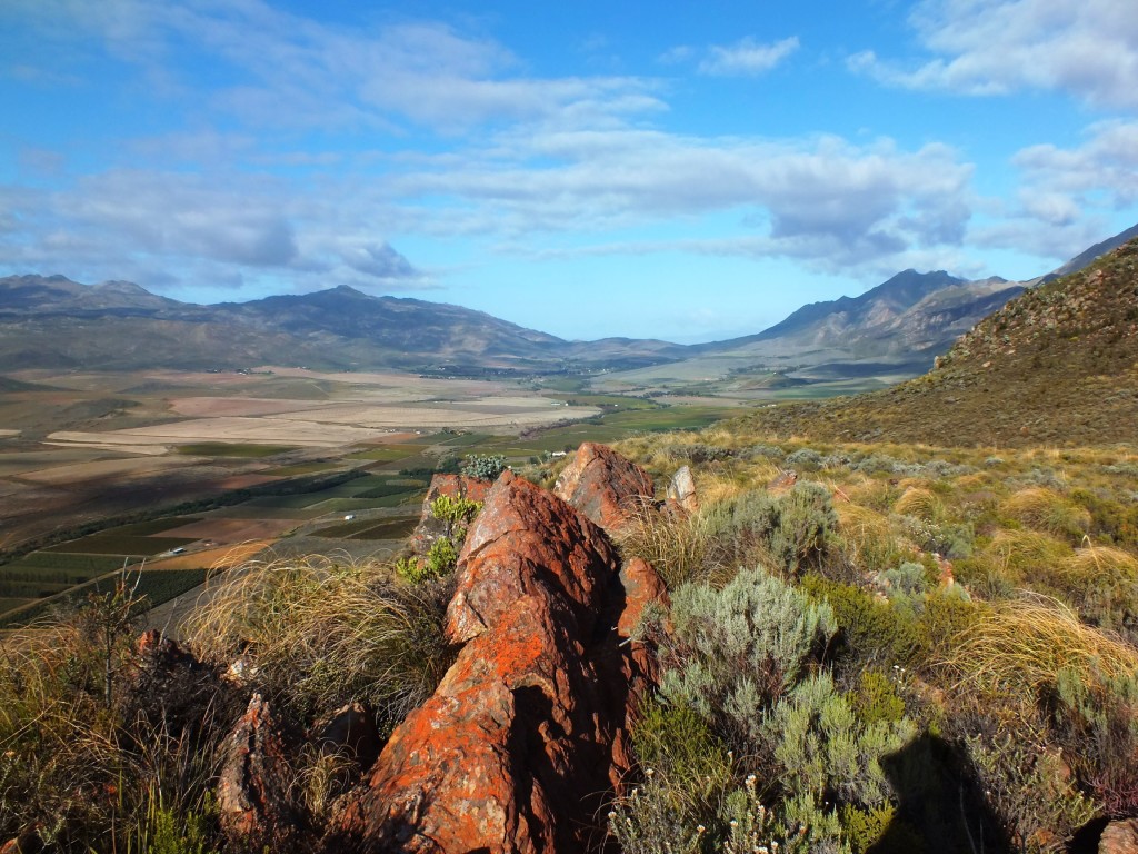
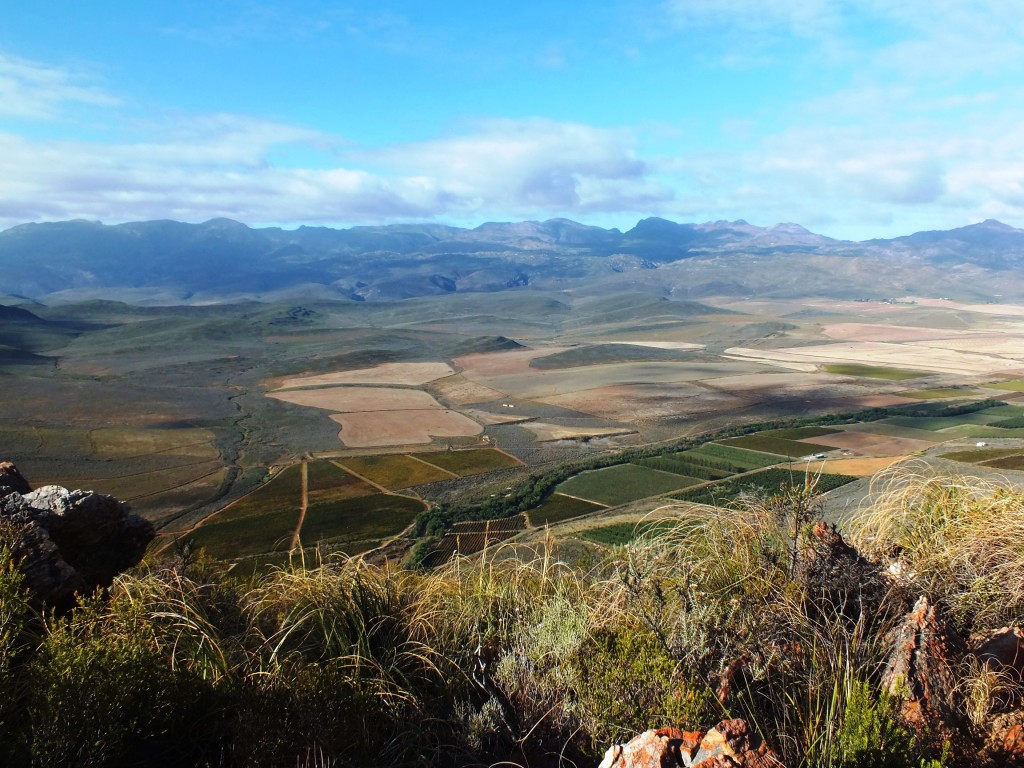
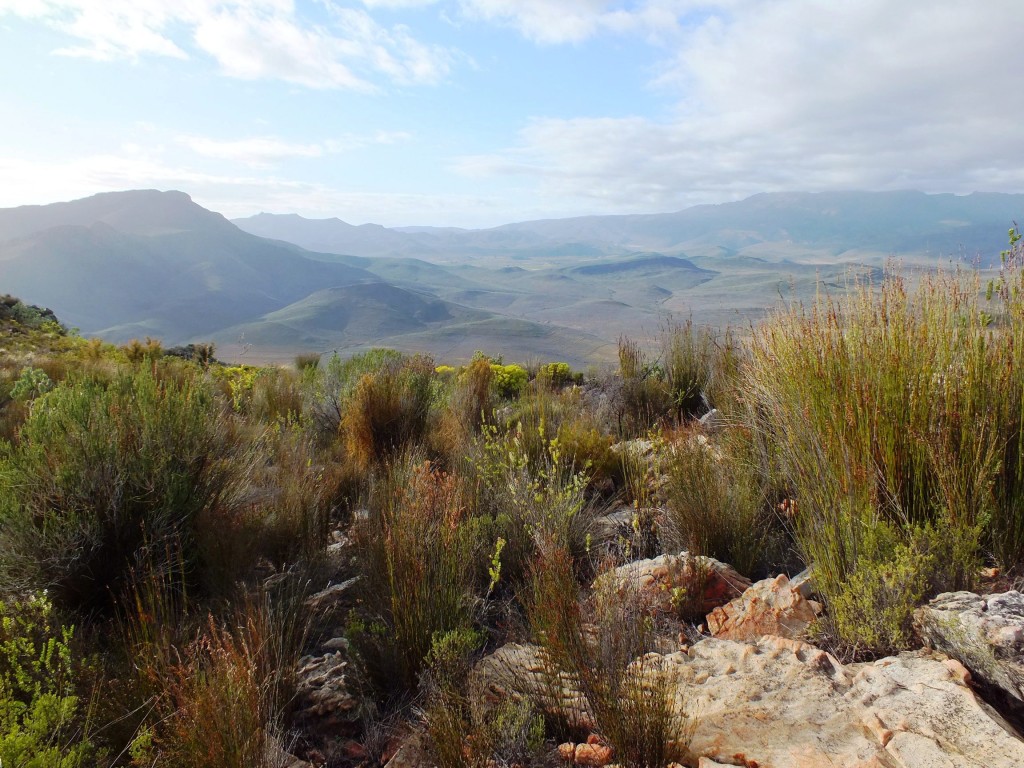
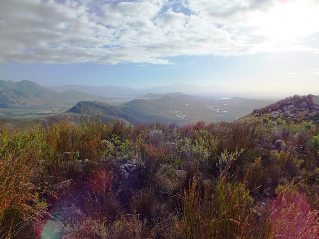
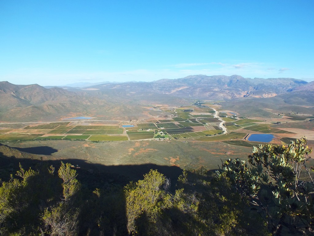
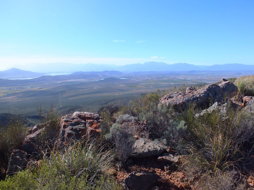
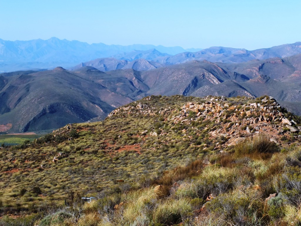
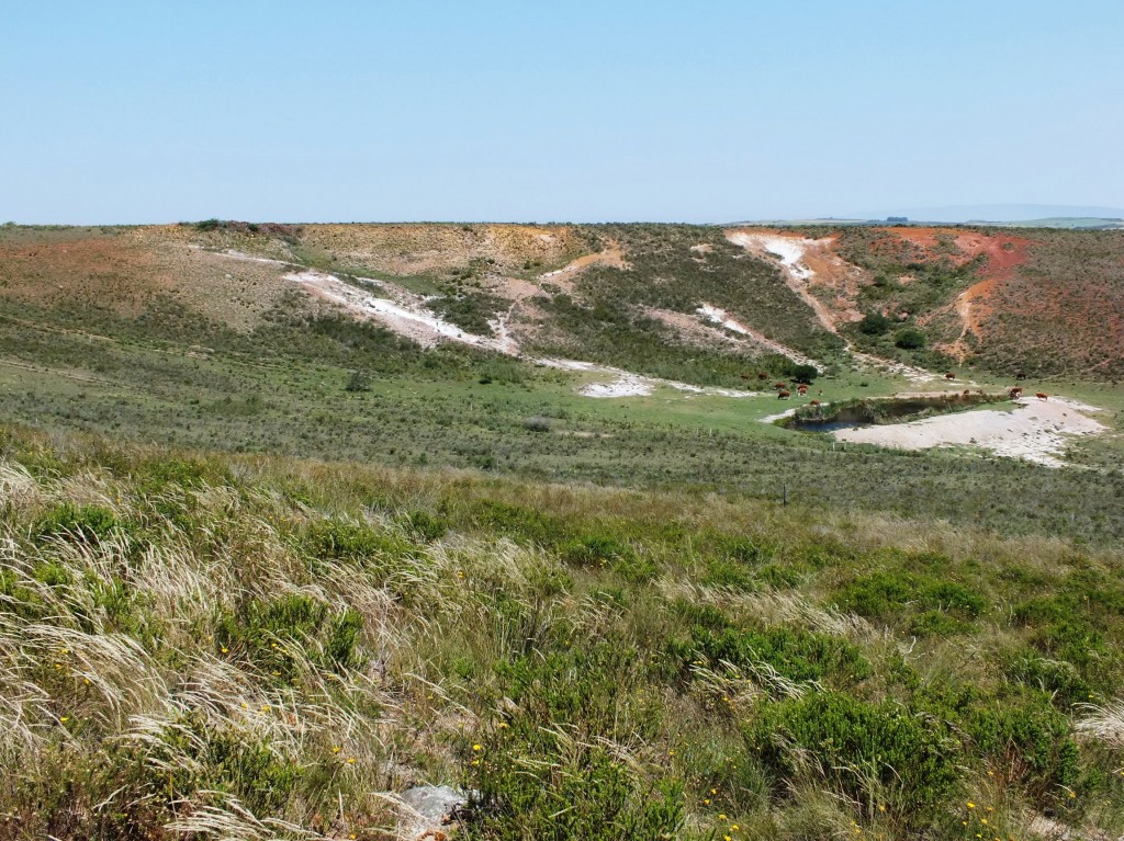
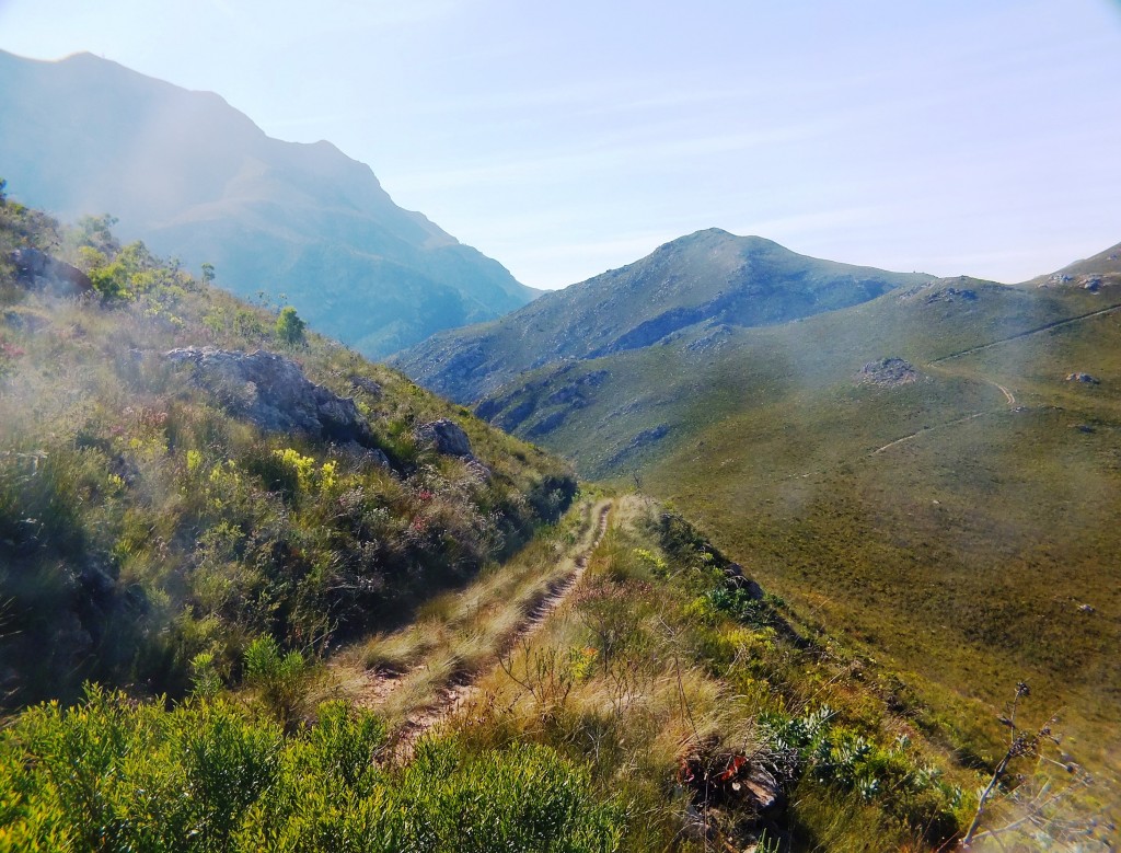
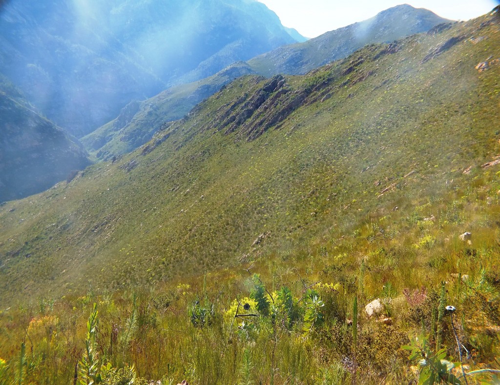
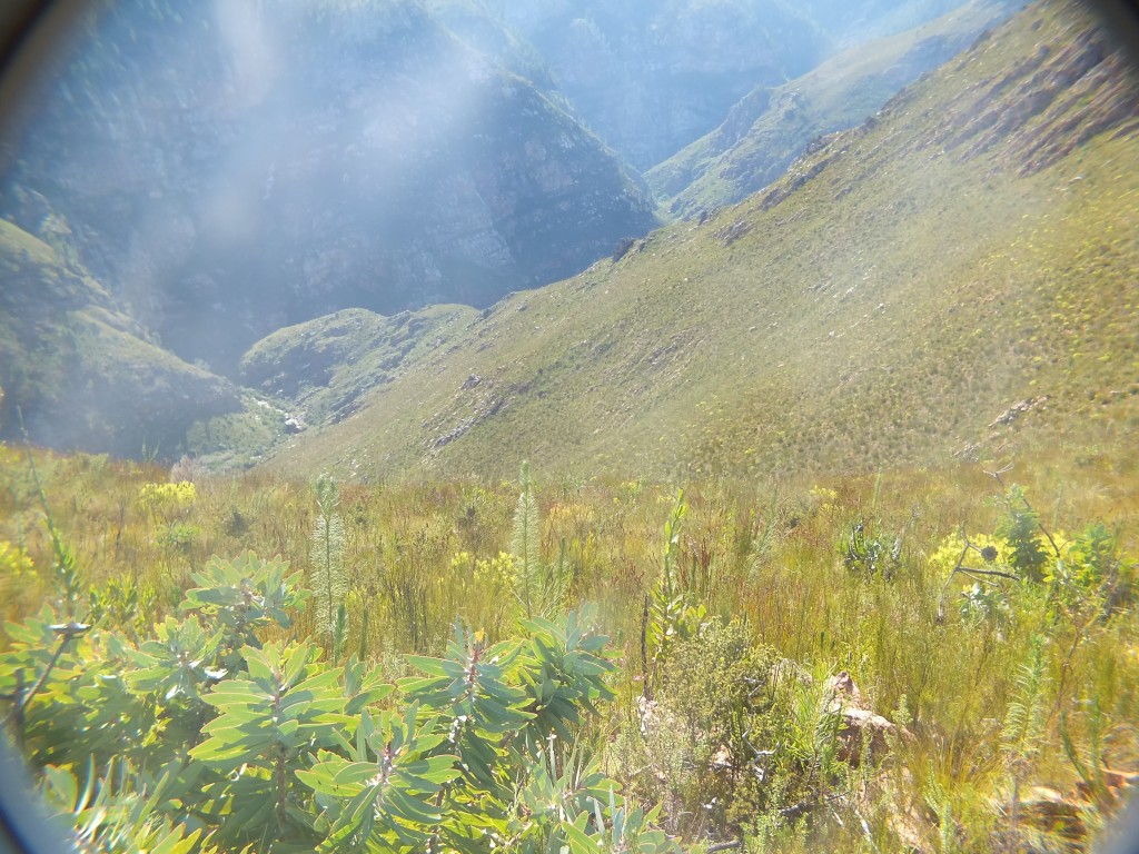
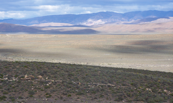
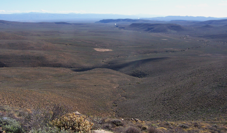
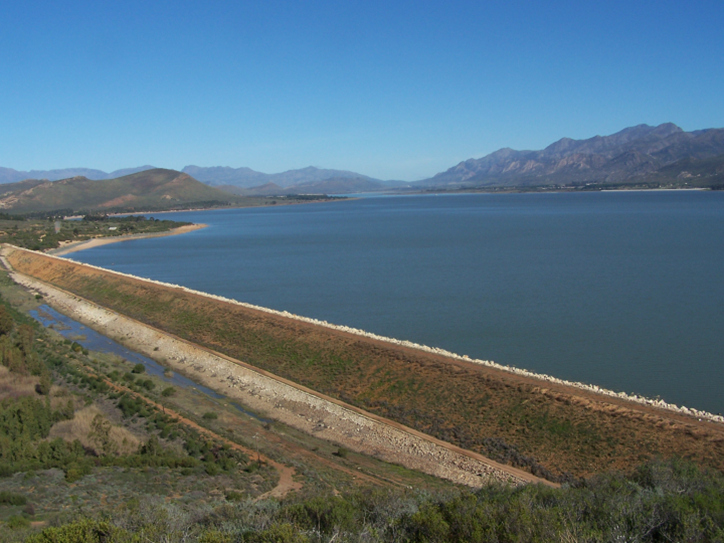
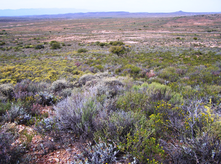
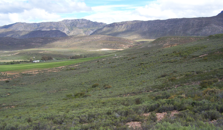
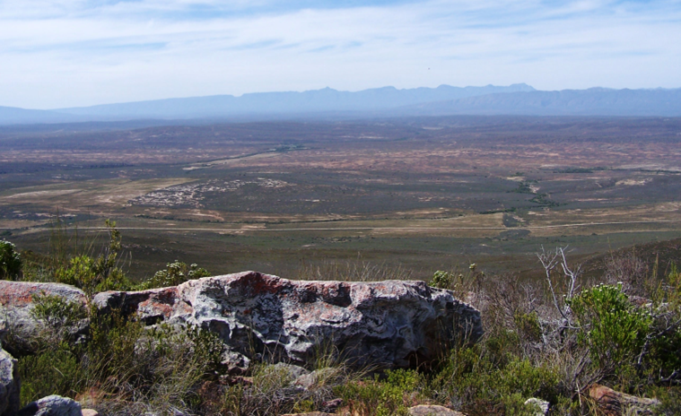
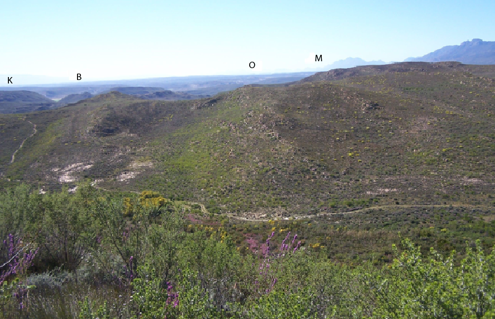
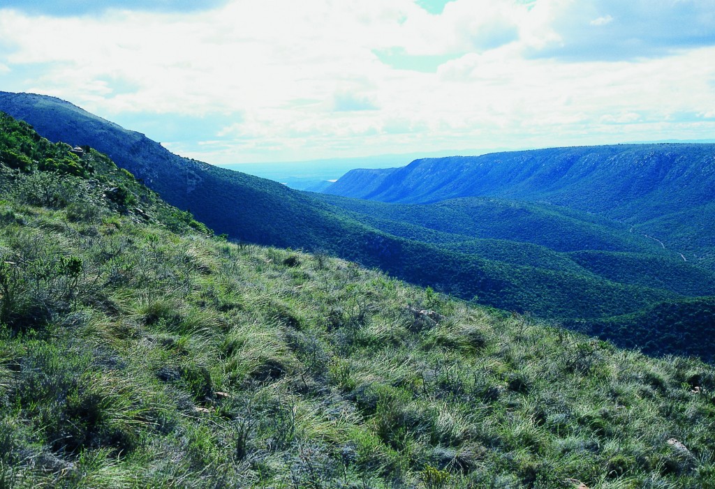
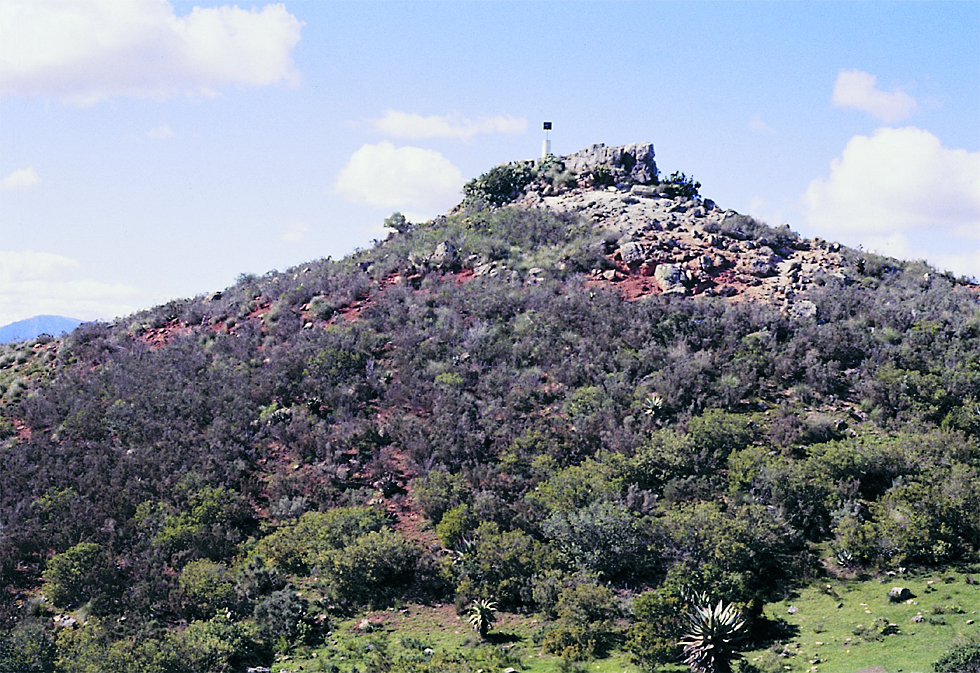
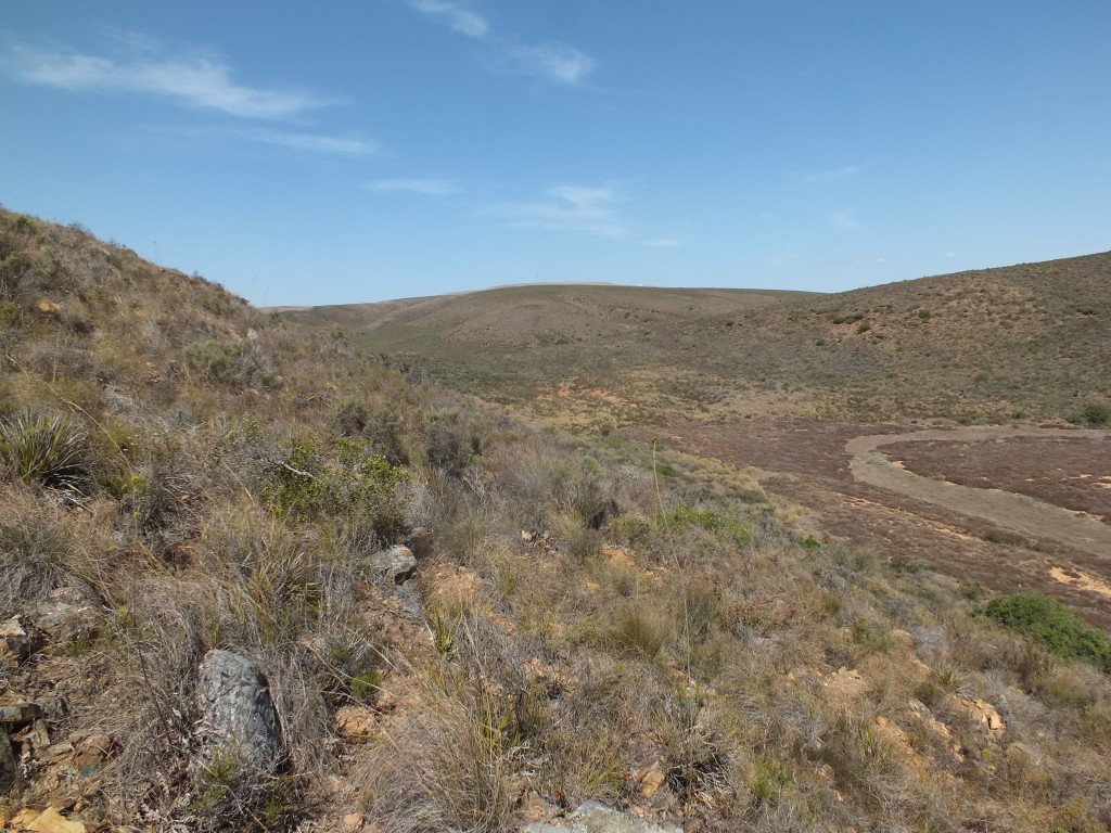
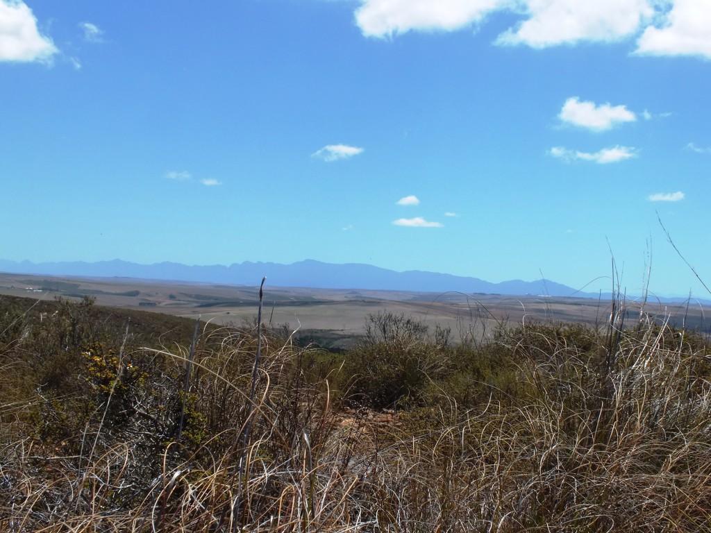
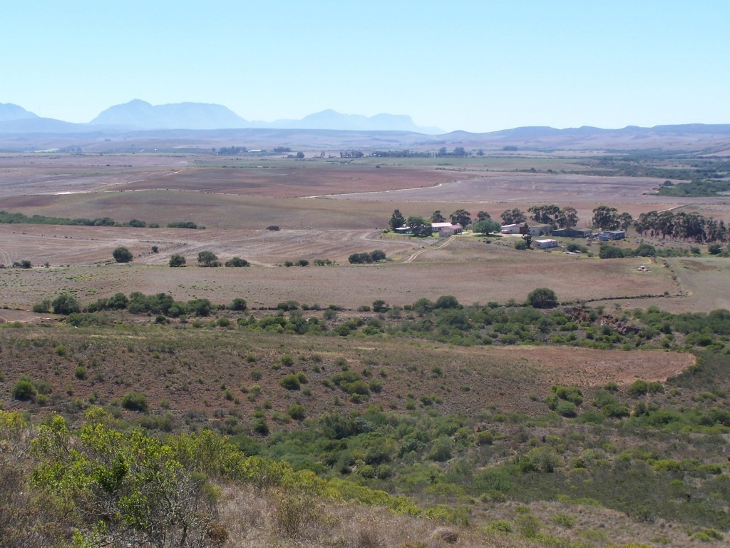
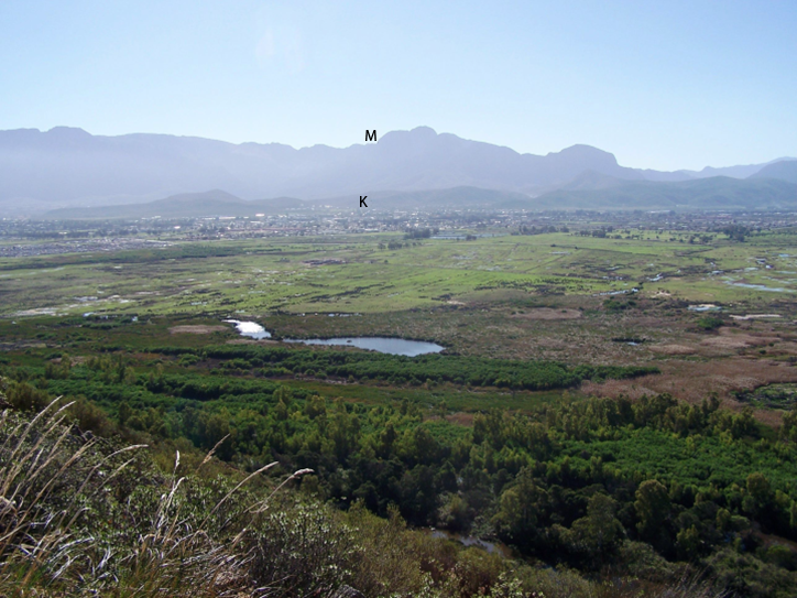
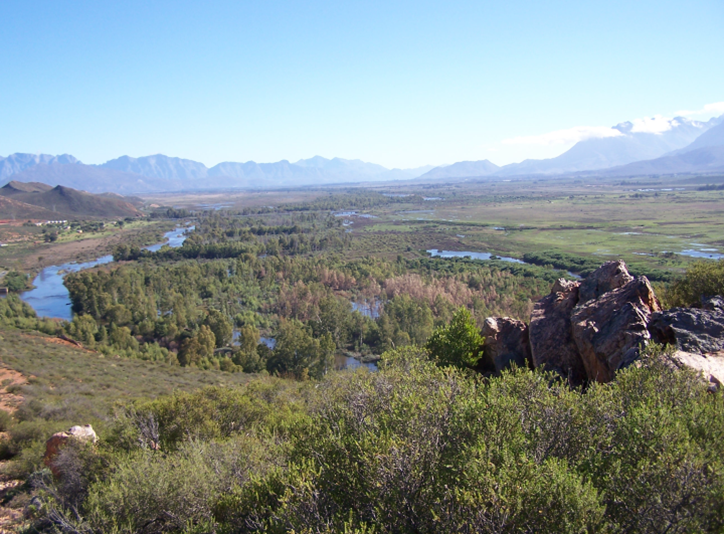
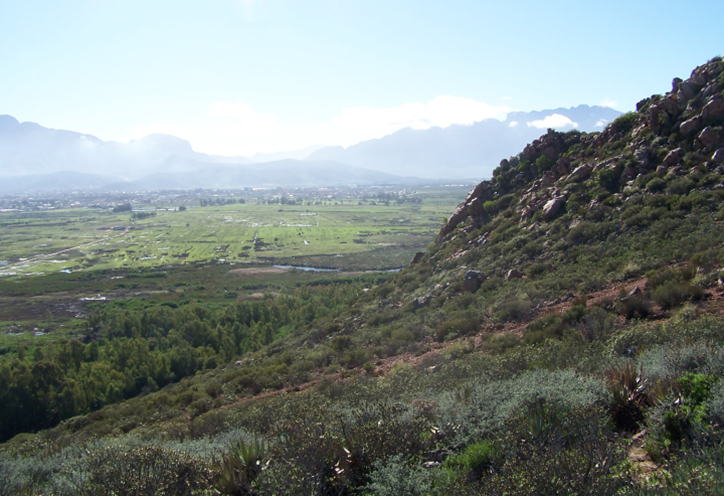
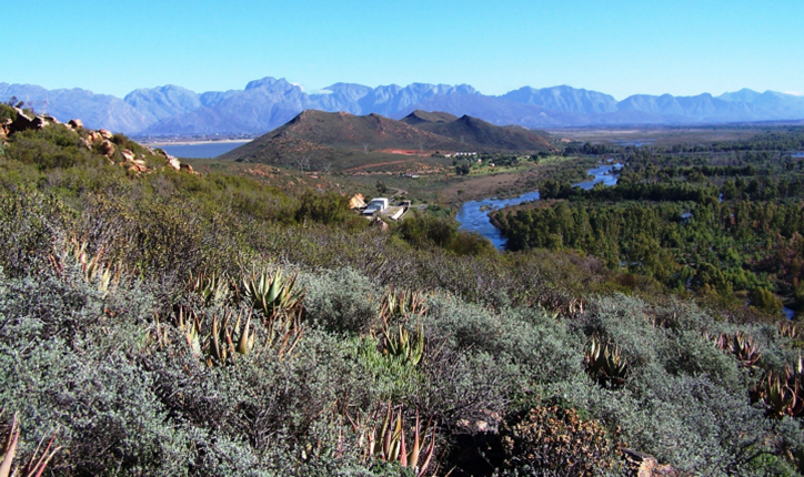
The following pictures are to give some indication of what the countryside is like where these intriguing plants grow and to indicate that there is still a lifetime of exploration which can be done. Hopefully this will be done by some one who has a sense of the natural order of things and an appreciation and respect for the desirability of leaving things that way.
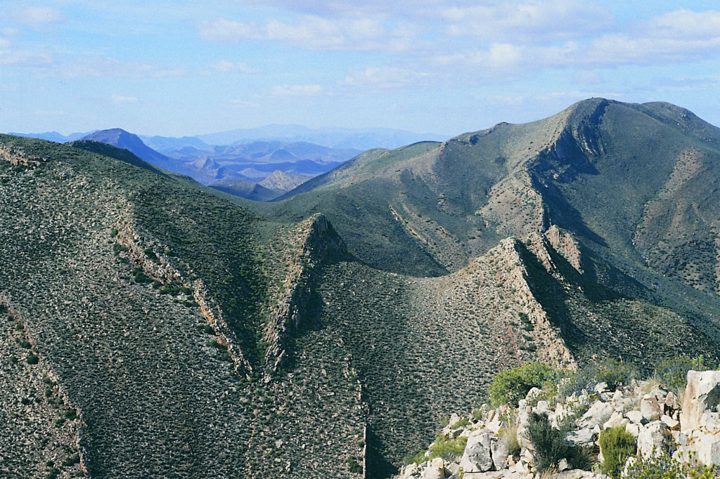
In the vicinity of the Anysberg. H. pumila occurs, but this is really the home of H. mucronata var. inconfluens and H. lockwoodii. H. pulchella is on the higher slopes. 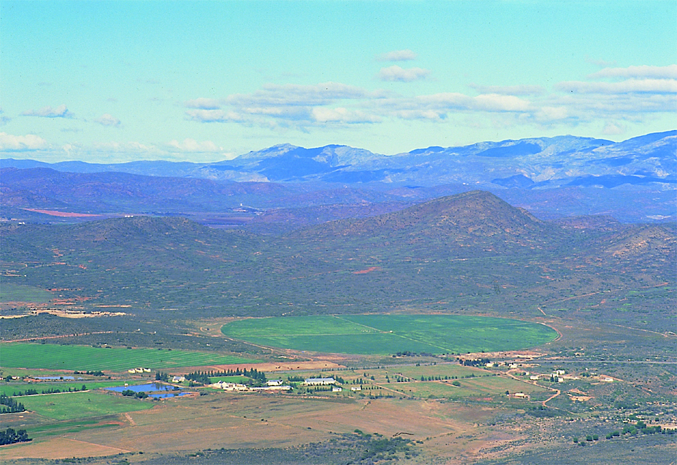
From the Skurweberg at Robertson looking south to McGregor. These are hills of Witteberg Sandstones and a home for mostly H. maraisii. The furthest hills are the Riviersonderend Mountains with an incredible and surprising admixture of H. maraisii and H. mirabilis. Although there is considerable agricultural development, the only species in this area which has suffered is a population of H. mutica to the east. 
Spitzkop at Riversdale. These flat-topped small peaks and larger tablelands are ferricrete caps often associated with clayish soils on the slopes. They are often the home of Aloe ferox and A. arborescens. Sometimes there are grassy patches and pressure bursts of bare clay. H. magnifica and H. serrata occur in this kind of situation. However, these ferricrete sills are also north of the Langeberg mountains, where species like H. emelyae and H. bayeri may occur. 
Skitterykloof in the Ceres Karoo. A very arid area where both H. venosa var. granulata and H. arachnoidea var. namaquensis may be found. Aloe comosa also occurs here, but less well-known is that it also occurs on the slopes of the Koedoesberg to the east. 
Ghaapkop. Matjesfontein, looking south to the Witteberg. The haunts of J. Archer and W. Pieterse, the collectors of H. marumiana var. archeri and H. wittebergensis respectively. The latter is from those high mountains. Beyond them lies H. lockwoodii – to the southeast H. pulchella. H. arachnoidea var. scabrispina, H. nortieri var.pehlemanniae and H. viscosa are nearby. 
Bonnievale to Swellendam. Looking over a rich mosaic of vineyards .This is from a site where there is a very confounded population of H. maraisii which includes the variety meiringii and plants which are identifiable as H. heidelbergensis. The scene is towards Drew and the habitats of H. reticulata var. attenuata, H. minima var. poel/nitziana, H. marginata,
H. maraisii, H. heidelbergensis, H. pumila and also Aloe glauca and A. brevifolia.
At the bridge on the N2 highway over the Breede River.In rolling wheatfields in what must have been Renosterveld. A frustrating terrain because of the many inaccessible small likely looking islands in a highly cultivated landscape. The steeper shale slopes are clothed in an arid bushveld with Aloe ferox. H. turgida var. longibracteata likes this habitat. H. venosa var. venosa, a intermediate between H. maraisii and H. mirabilis, H. marginata, H. minima and H. floribunda are also nearby.
Campherpoort The home of H. zantneriana, H. glauc.a var . herrei and H. decipiens var. minor. Rugged dry terrain with many ridges and slopes.
Seweweekspoort through the Klein Swartberg Mountains. A long winding pass with Euphorbia horrida, Aloe ferox, and H. mucronata var. habdomadis .
Howiesonspoort west of Grahamstown. Best known for H. coarctata var.greenii, but also H. cymbiformis and the hybrid with H. angustifolia (ie. ‘H. perplexa’ ). The cymbiformis are being shaded out by exotics and where they used to be fertilised with Dassie droppings, they grew like cabbages.
Herbertsdale from Cloetes Pass, looking southward into the lower Gouritz valley. A very unexplored area. There are very dense succulent thickets with Aloe ferox, Aloe speciosa and Aloe arborescens. H. chloracantha var. chloracantha grows here. H. kingiana has been reported here, as has H. pygmaea. 
The Rooiberg from Ribbokkop southeast of Worcester. Ribbokkop is home to H. herbacea and H. reticulata as well as H. arachnoidea. The Rooiberg is an awe-inspiring massif, and all the more so when attempting to explore it. Covering more than 130 sq.km., it is a slab of Witteberg quartzite overlying and interfolded with Bokkeveld shale, and also touched by Dvvyka tillite. Who knows what is on it? H. pumila, H. maraisii, H. reticulata and a tiny population of the recently described H. herbacea var. flaccida. 
West of Merweville. A real karoid landscape. Hoodia dregeii is endemic here. Haworthias are at their limits of survival and only Haworthia decipiens var. cyanea seems to be comfortable. On the northern perimeter of the drainage basin. the steeper slopes may harbour H. semiviva, H. nigra and also H. marumiana var. archeri. 
The Witteberg north-East of the Anysberg. A seemingly endless vista of rocky ridge upon rocky ridge, mostly unexplored. 
View from the Swartberg looking towards Oudtshoorn. Ostrich farming country and the roads give little indication of the succulent richness of the area. Apart from the remarkable H. truncata, there are the strange variants of H. scabra, nearly all of the diversity of H. arachnoidea and H. mucronata, H. bayeri and H. emelyae. To the south there is
H. outeniquensis, H. kingiana makes a tiny bow, while H. montico/a var . asema occurs towards the west.
Kathoek and the limestones of the Southern Cape near Bredasdorp. It is strange that these limestones harbour a vegetation related to the acid sandstone of the Cape System. H. minima occurs untroubled by the different soils, but H. variegata and H. mirabilis both seem to adopt new guises. 
East of the Rooinek Pass, south of Laingsburg. Home to H. wittebergensis and nearly all the Astrolobas, and to the rare Quaqua linearis. H. bayeri puts in a strange appearance here too. H. lockwoodii and H. mucronata meet here and there is also confoundment of H. marumiana var. dimorpha and H. arachnoidea. The rapid changes from shales to sandstone, and the very diverse habitats in such a rugged terrain, must lead to ecotypic adaptations. 
The Fish River at Kaffirdrift, famous for all the variants of H. reinwardtii which so fascinated G.G. Smith. The Euphorbia thickets may be impenetrable but the area is home to H. angustifolia var. paucifolia as well as H. cymbiformis and H. gracilis var. tenera. 
The steep slopes to the east of the Valley of Desolation, Graaff-Reinet. To climb three of these slopes in a day is a herculean challenge. To see and understand Haworthia better than is presented in this book, will require that kind of dedication, commitment and effort. 
Sleutelfontein in the Prince Alfred area. The home farm of a born naturalist, Mr Pat Marinckowitz. H. decipiens, H. viscosa, H. nigra and H. marumiana occur here. H. monticola is also in the ridges to the south-east, with H. vlokii further south and H. lockwoodii to the west.

