Set 5. Map points 6, 9, 13, and 14. Ouhoekberg.
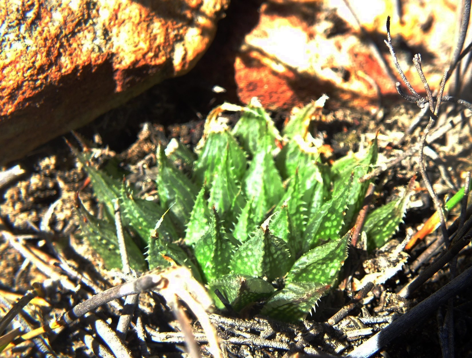
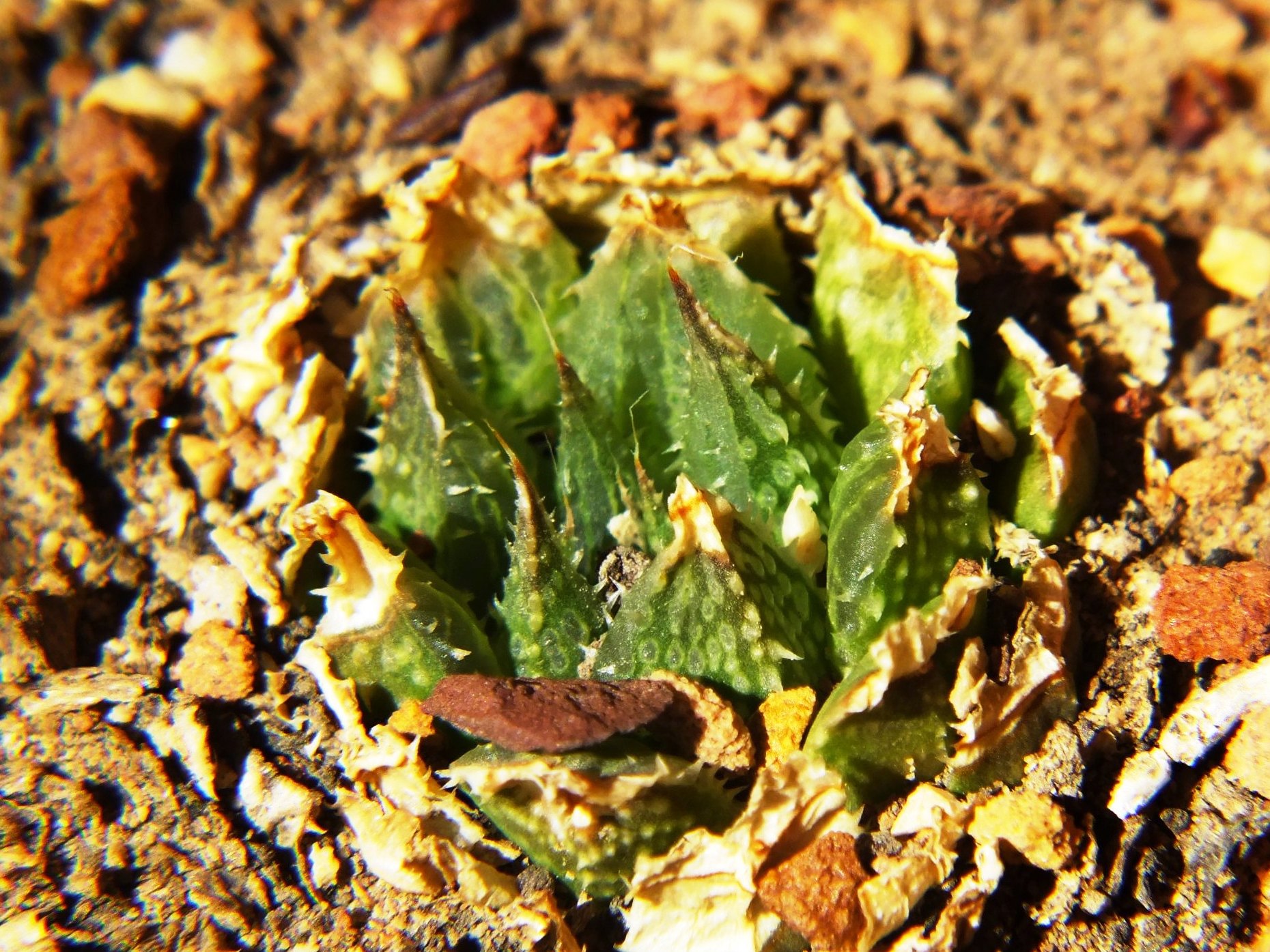
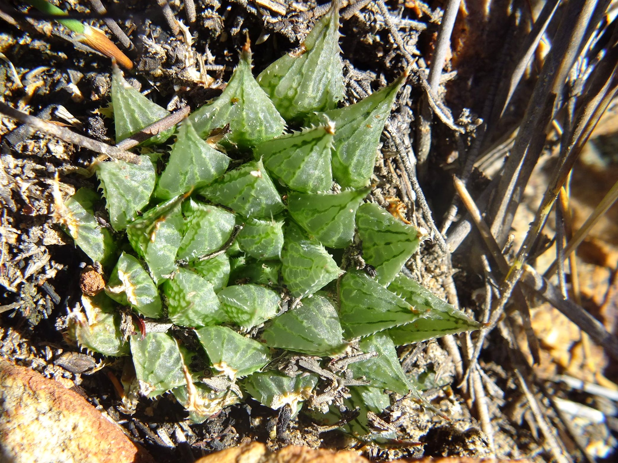
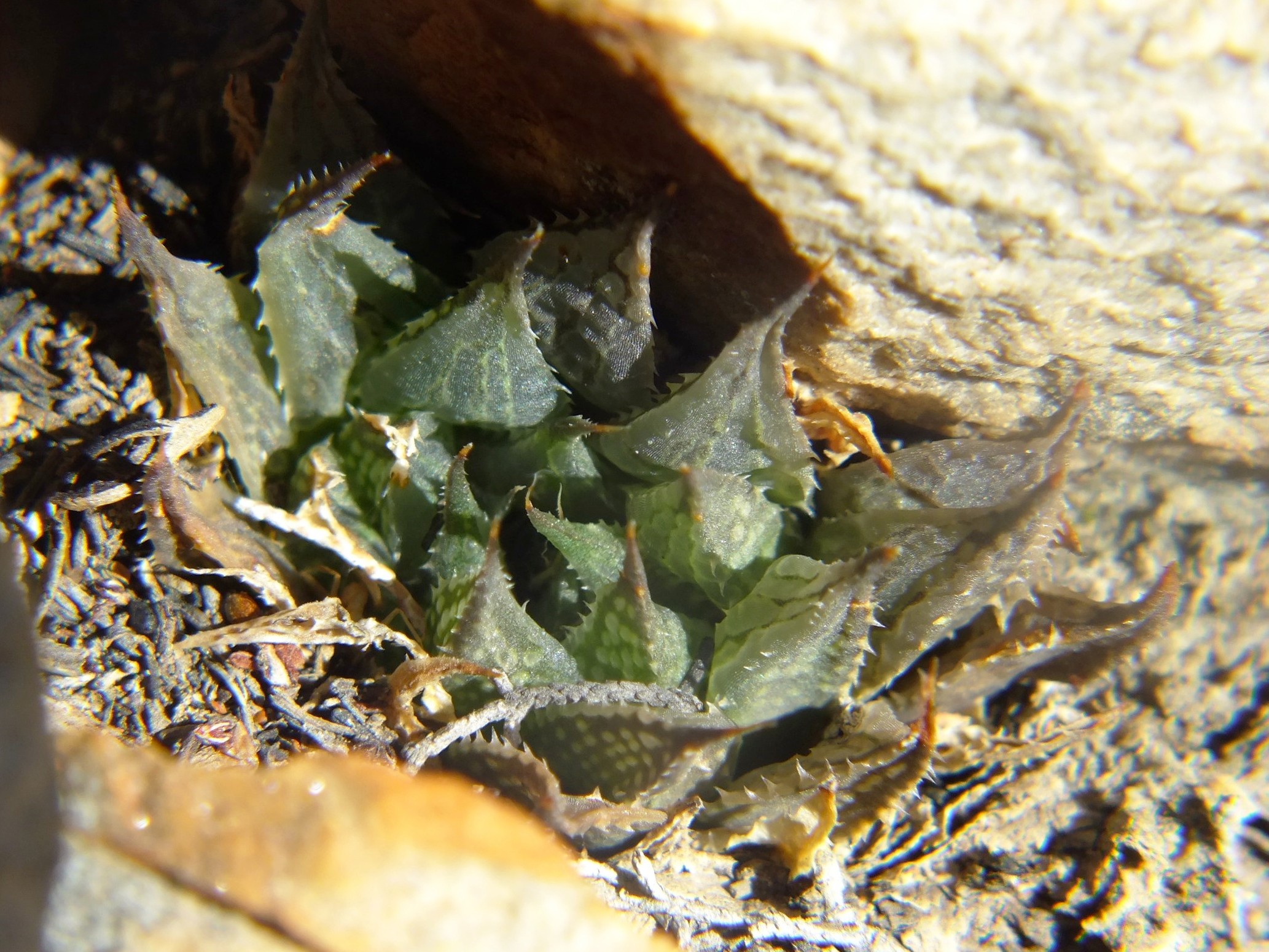
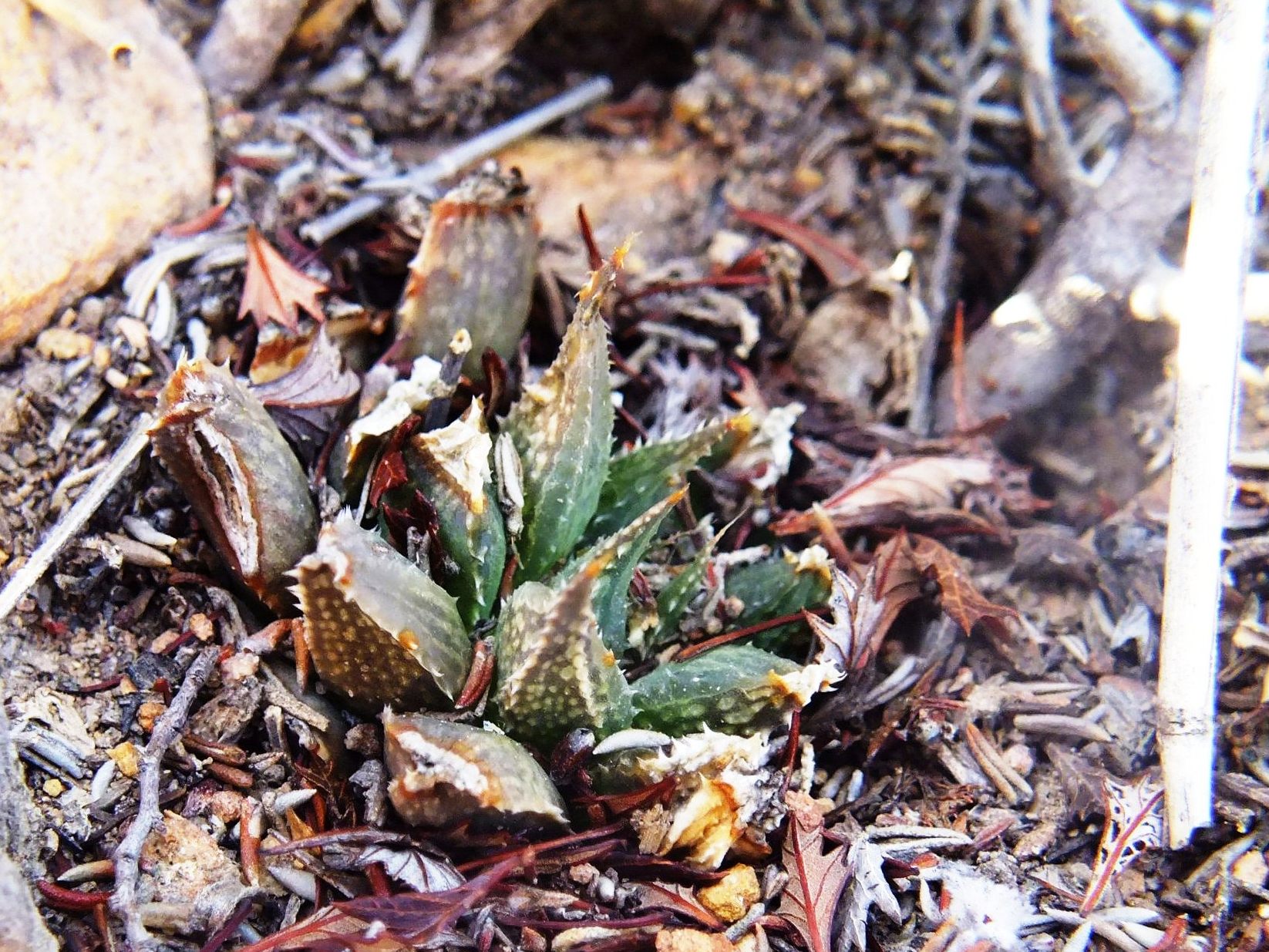
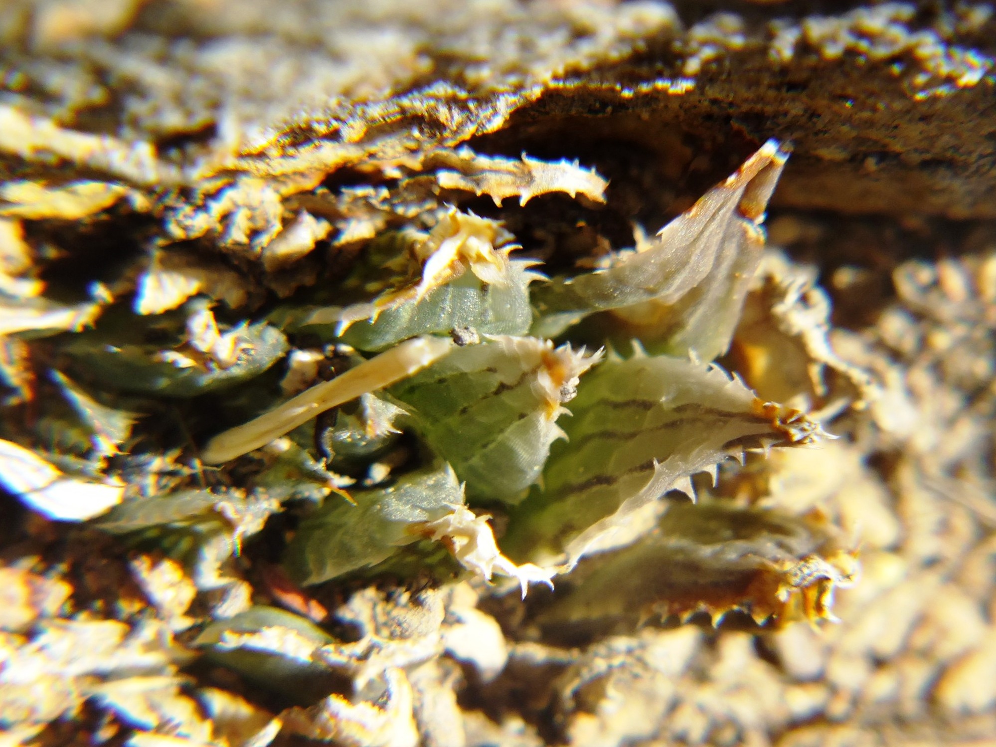
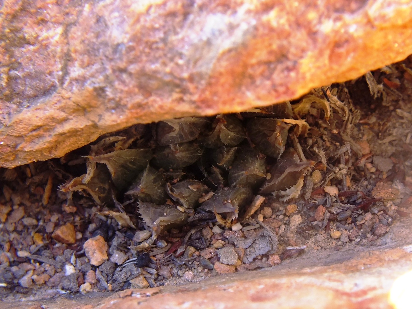
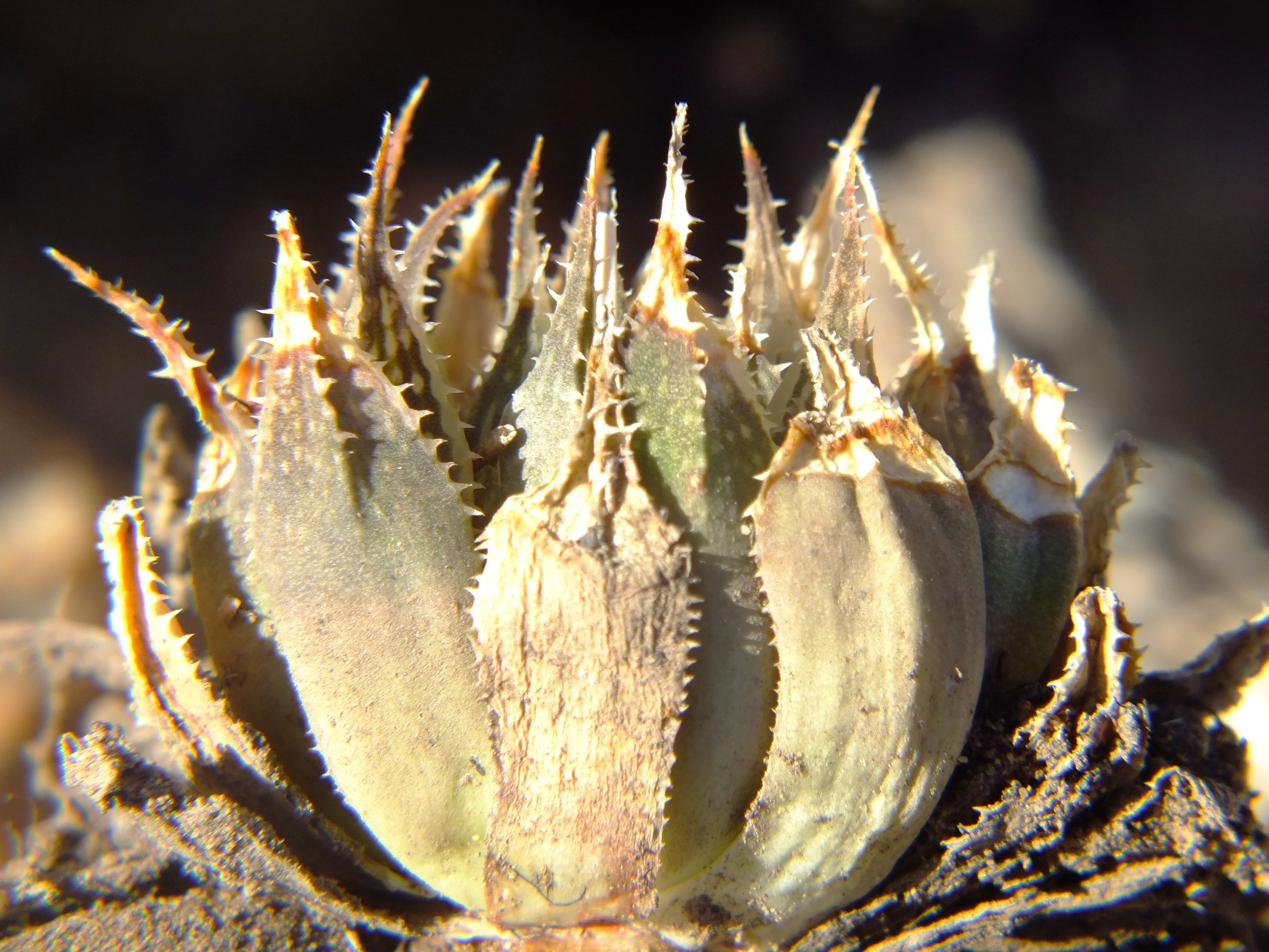
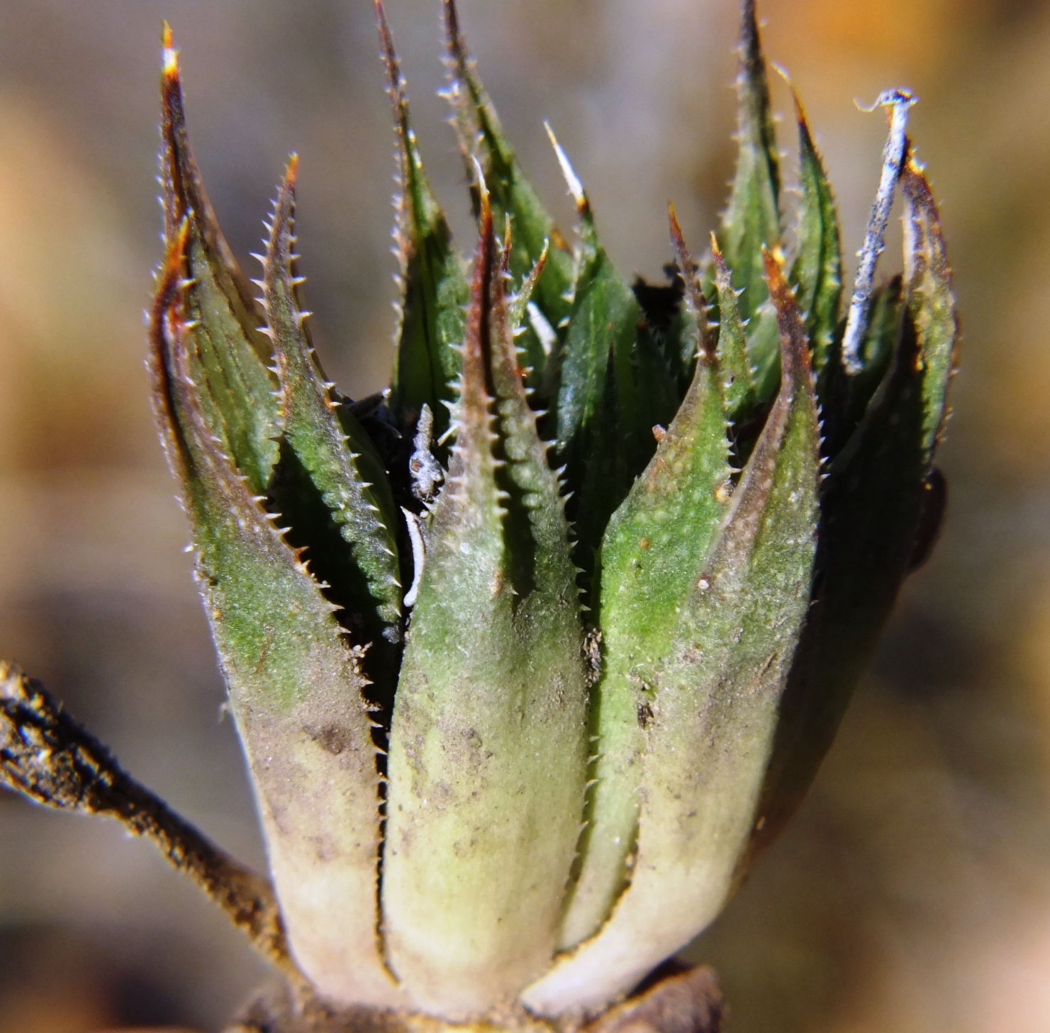
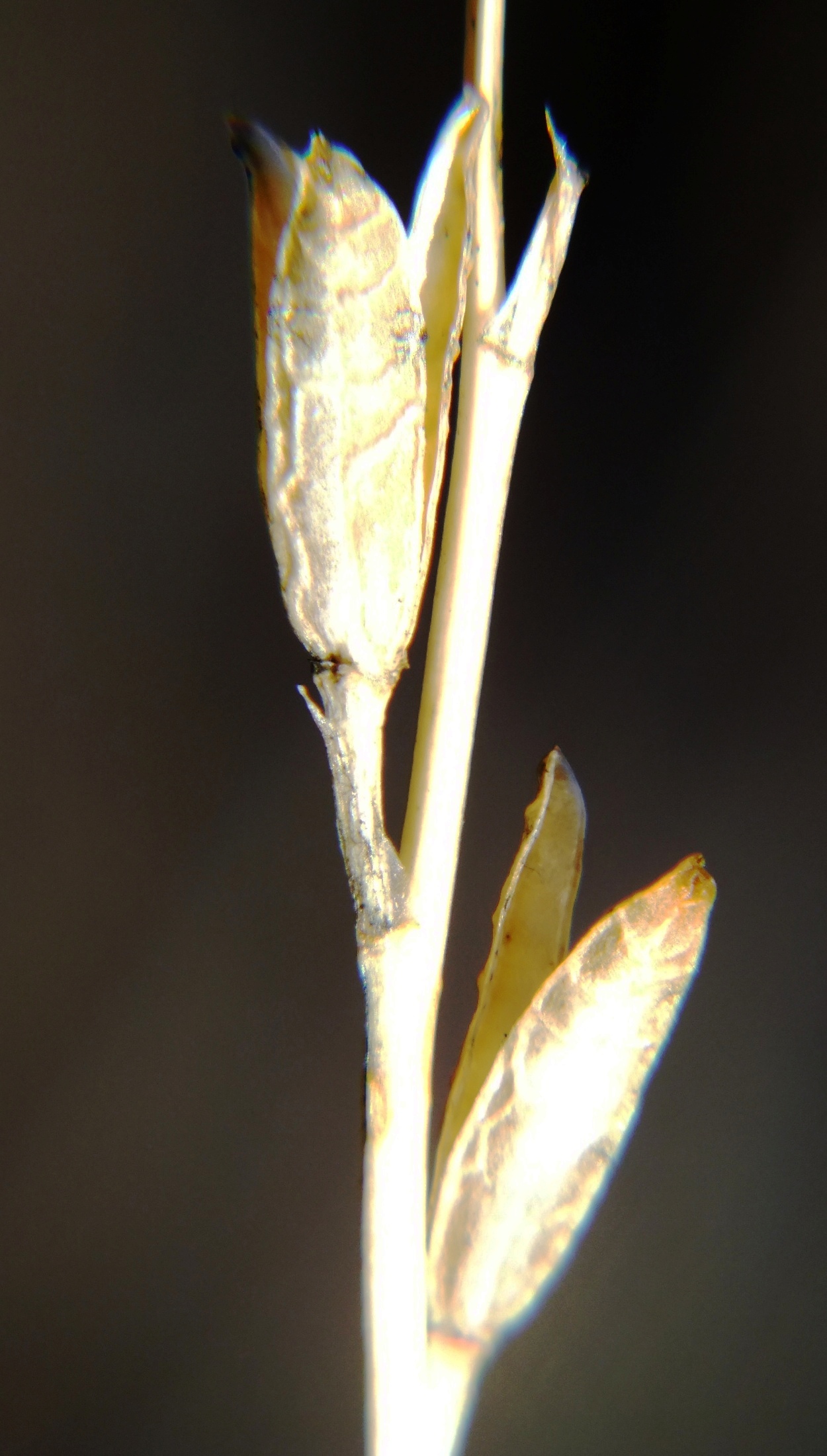
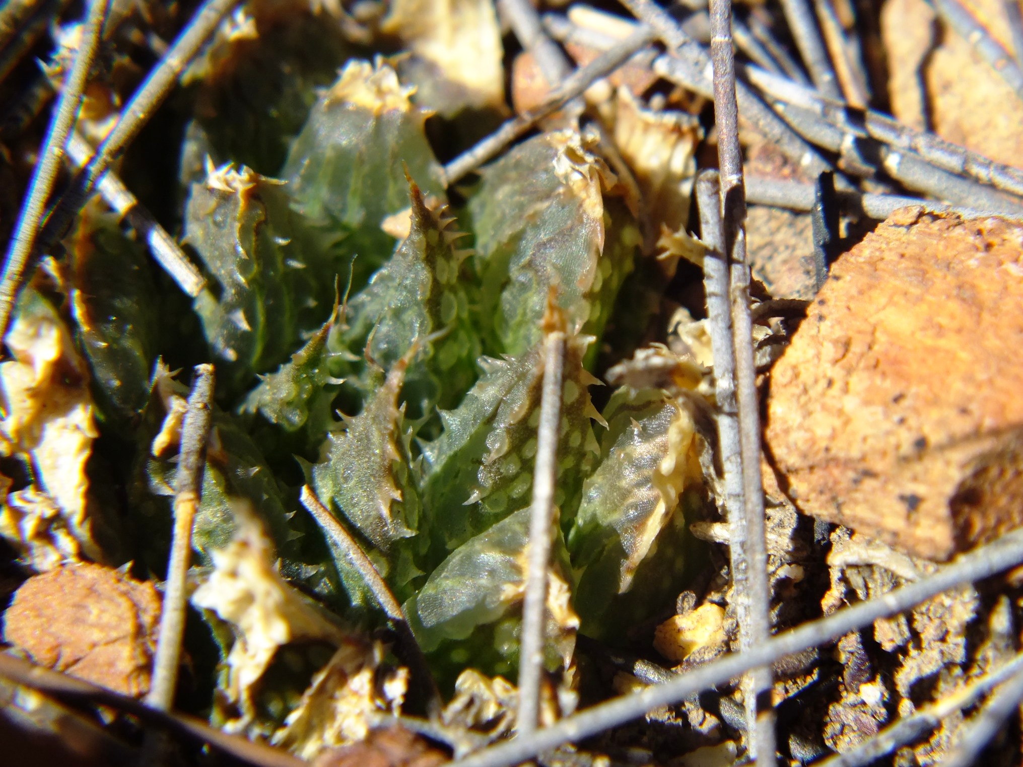
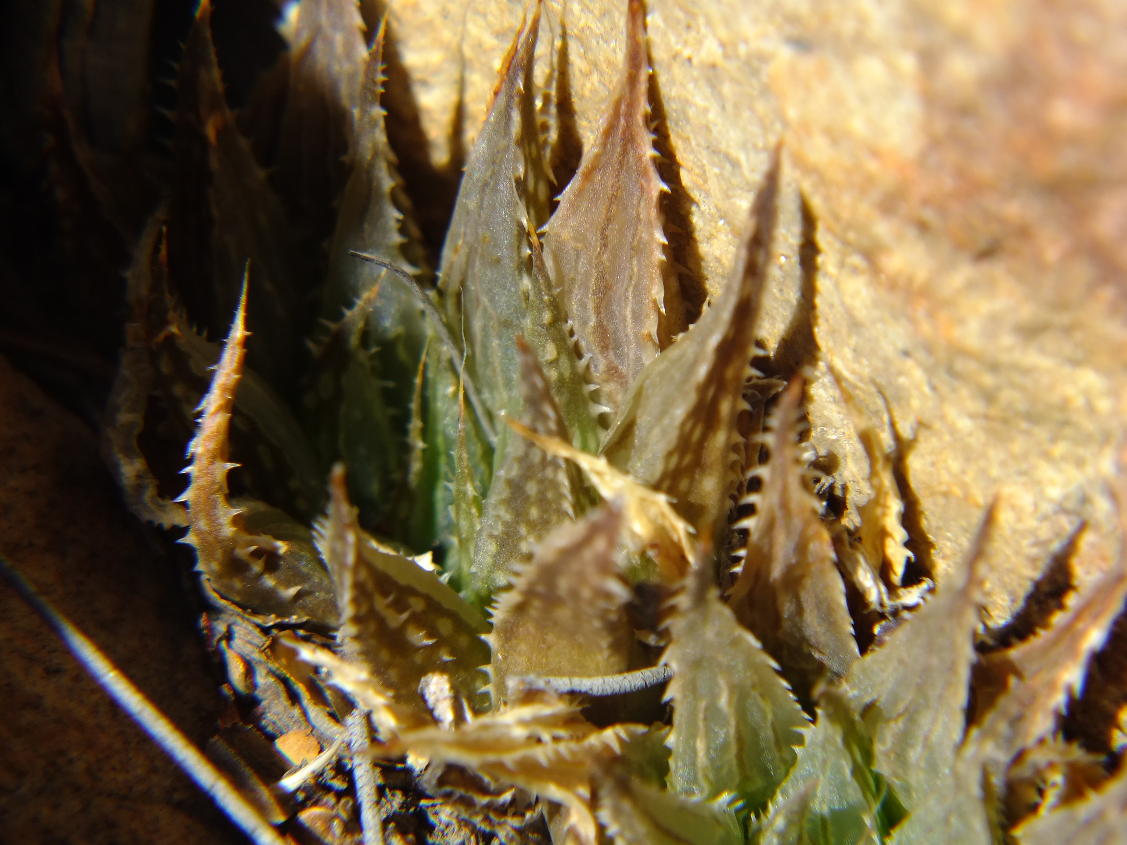
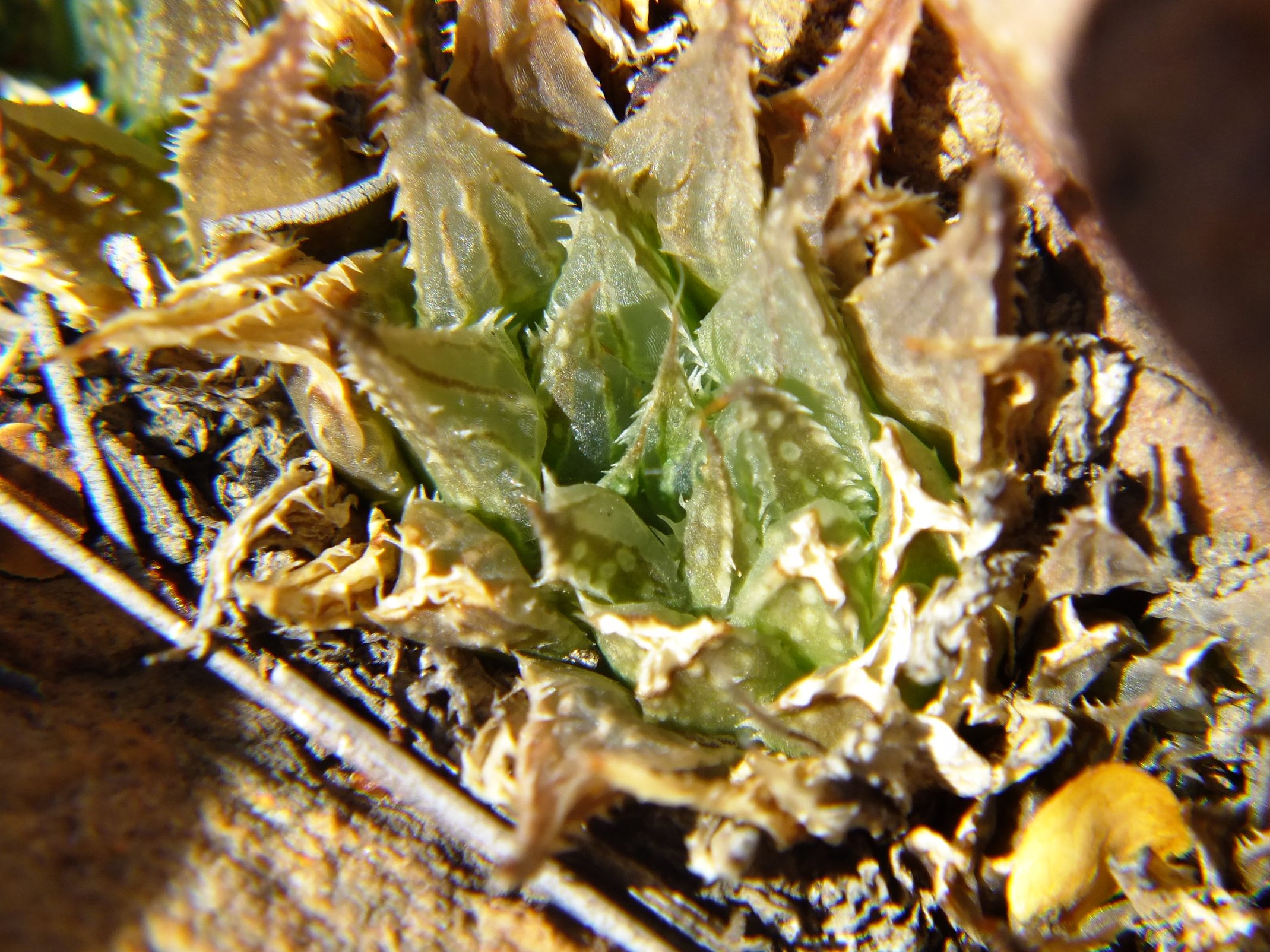
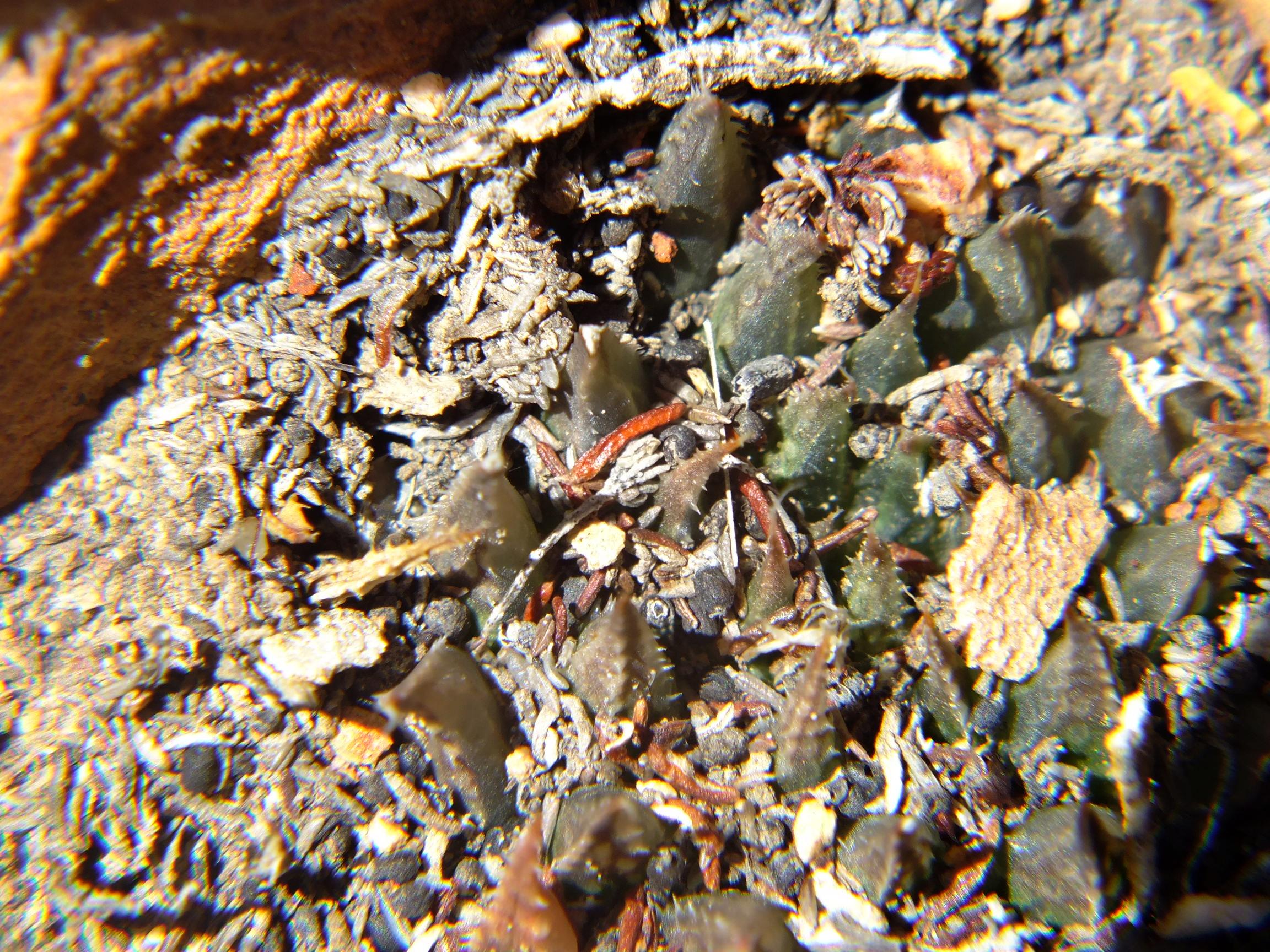
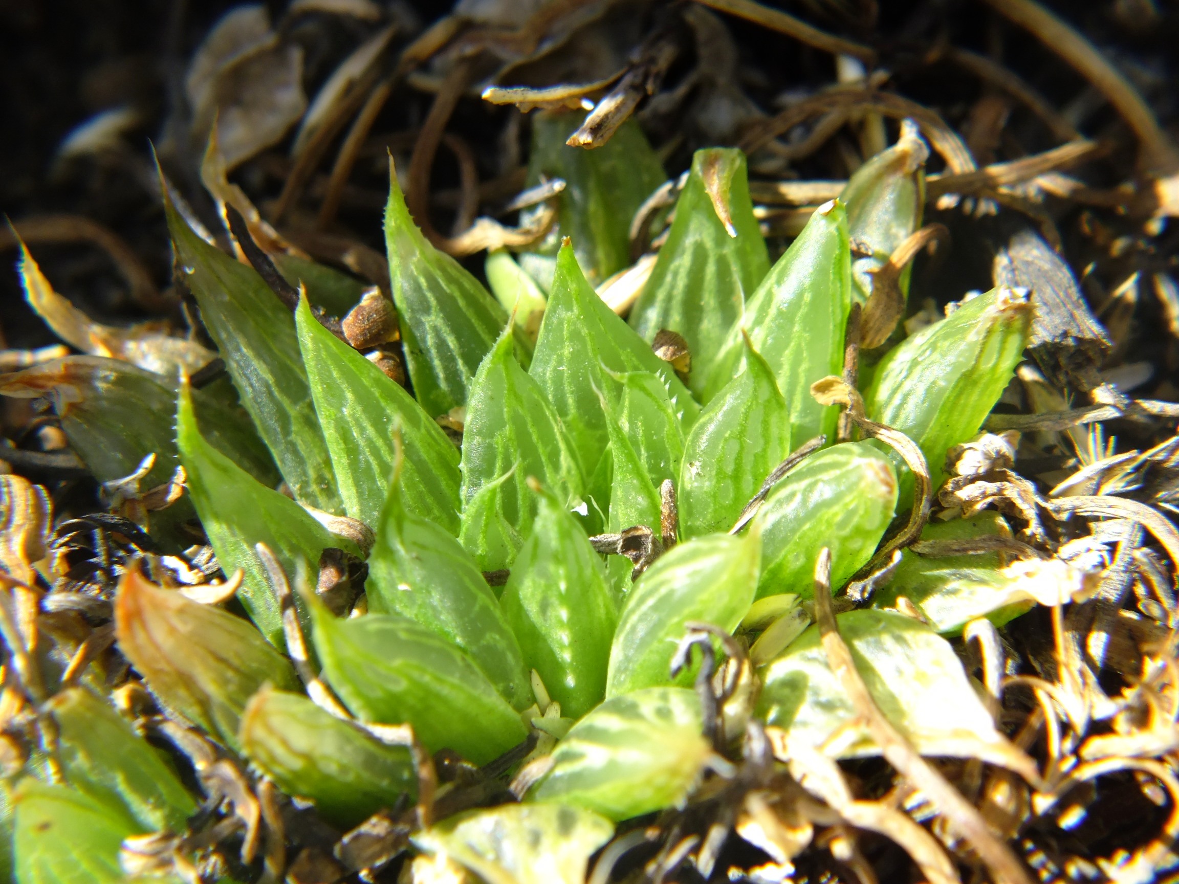
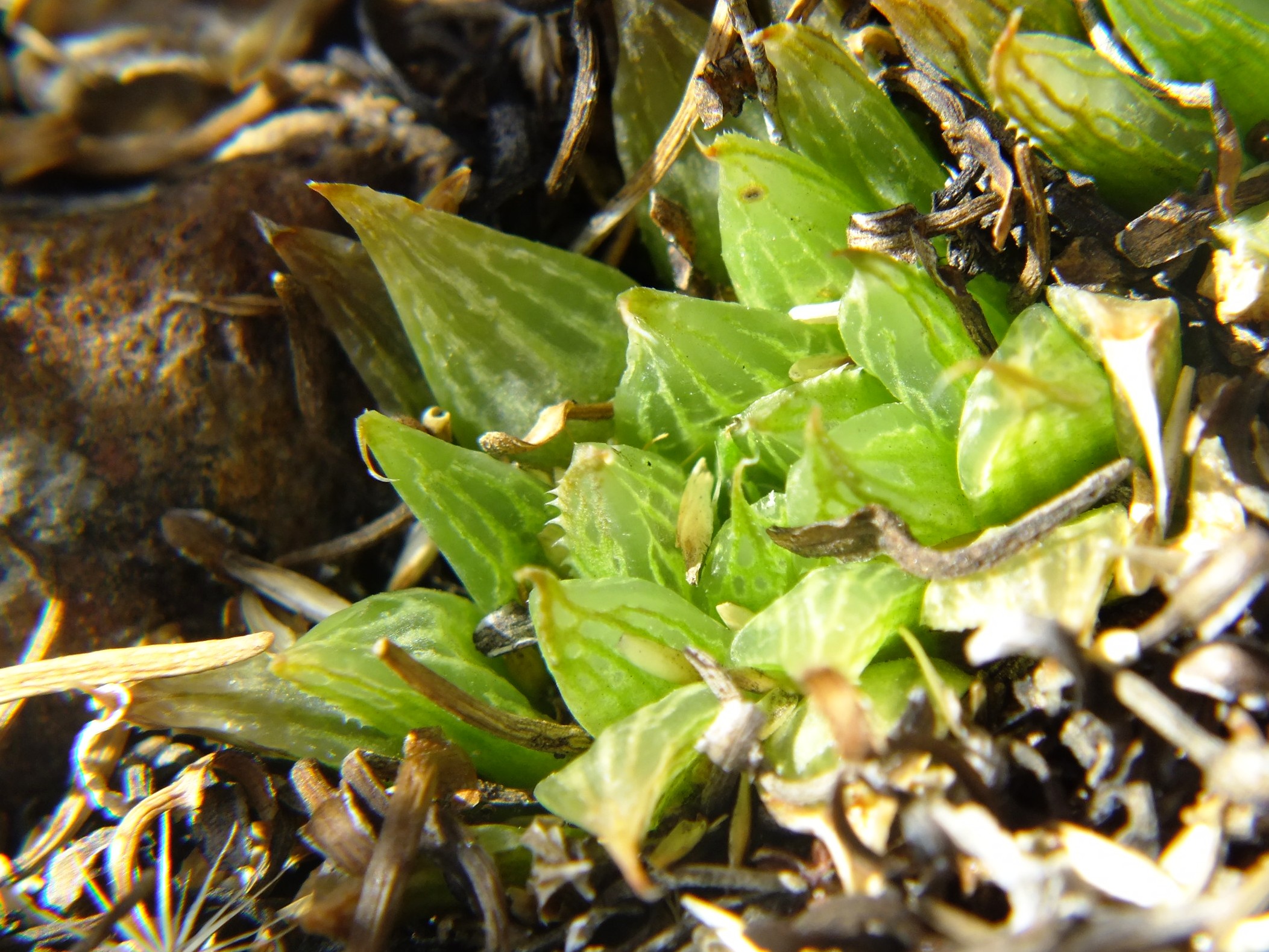
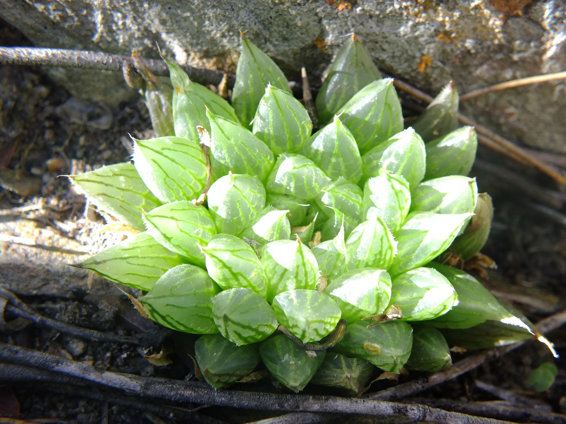
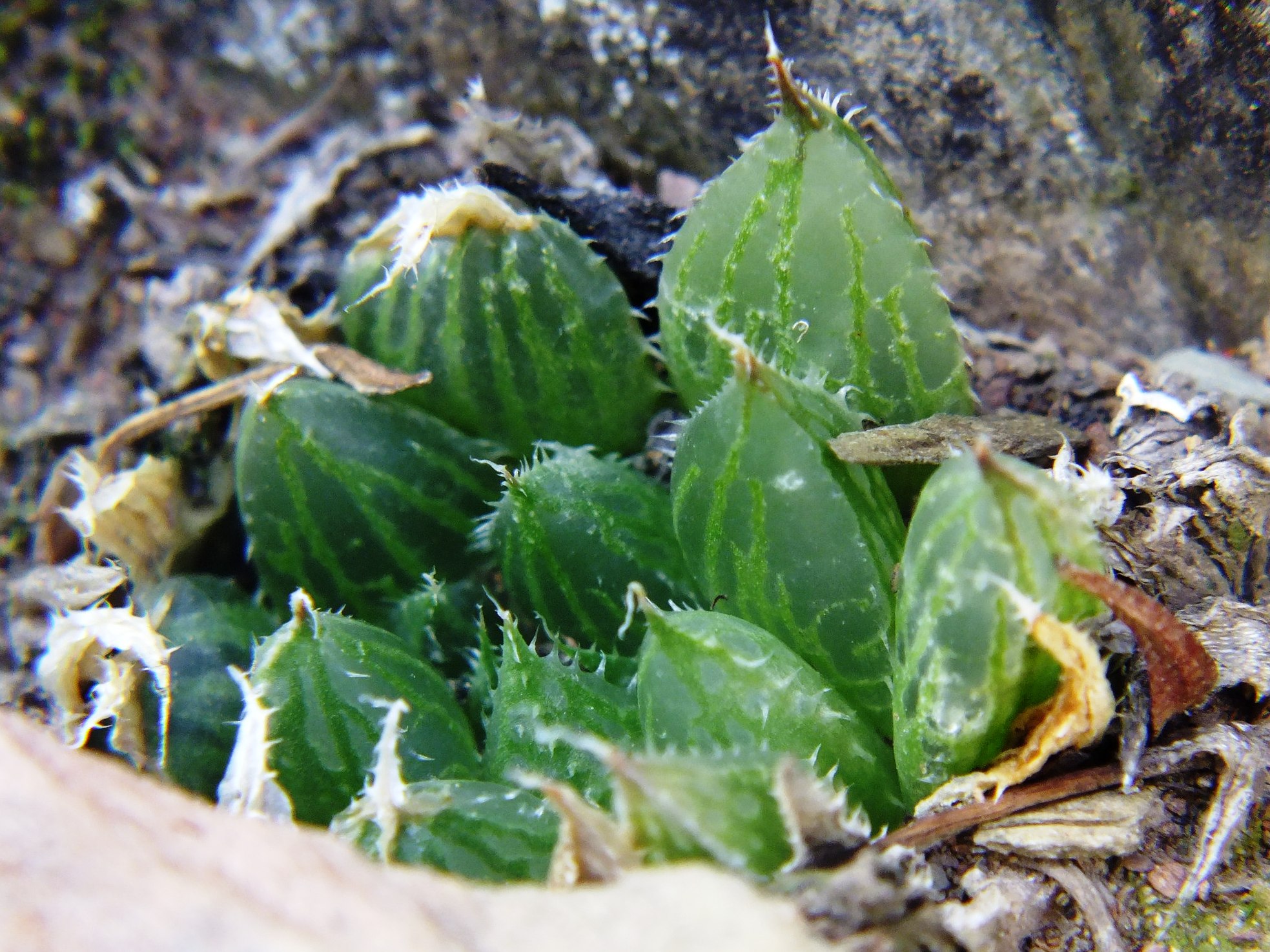
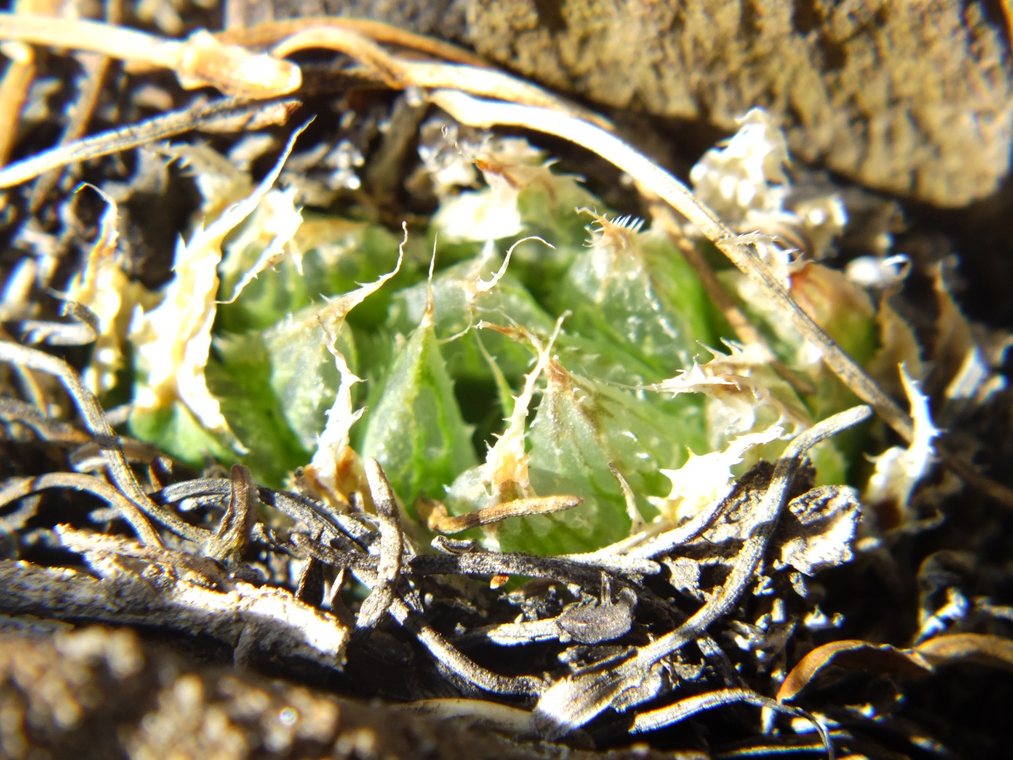
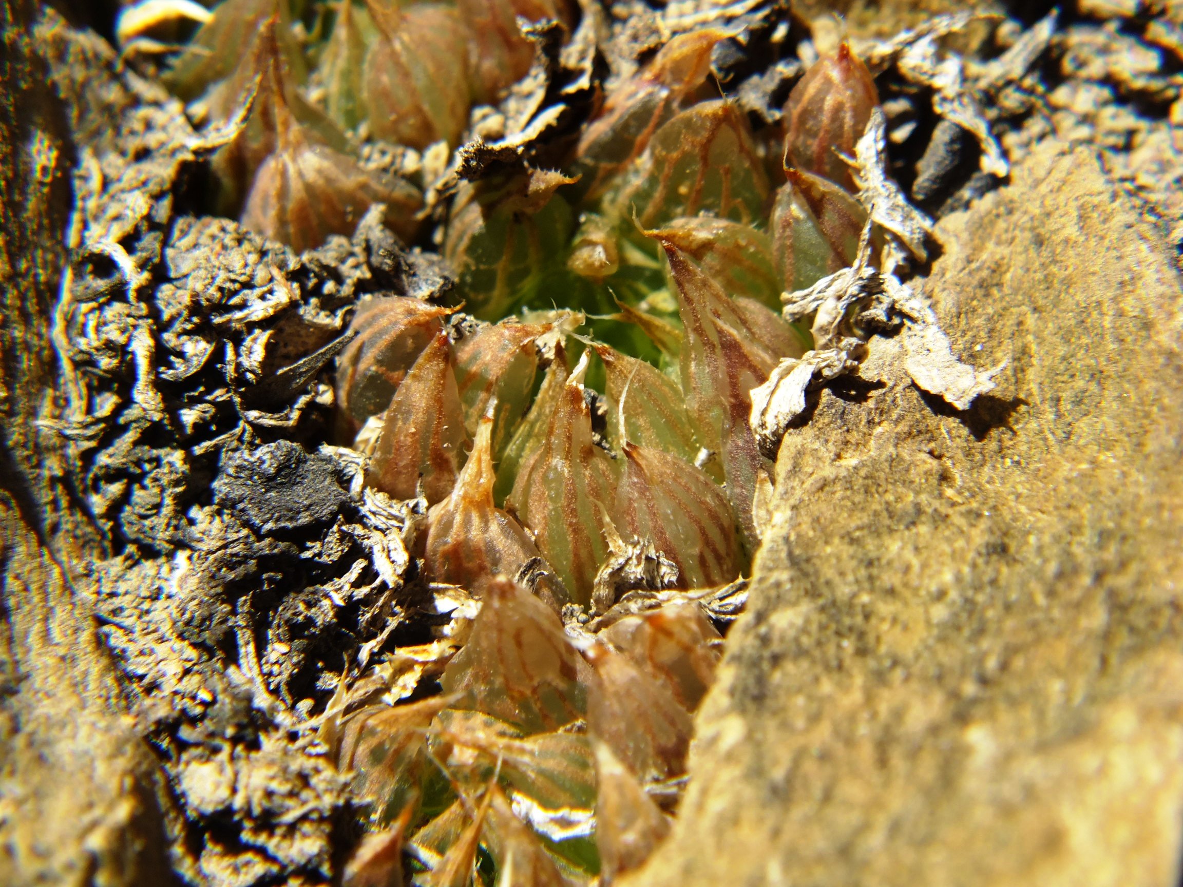
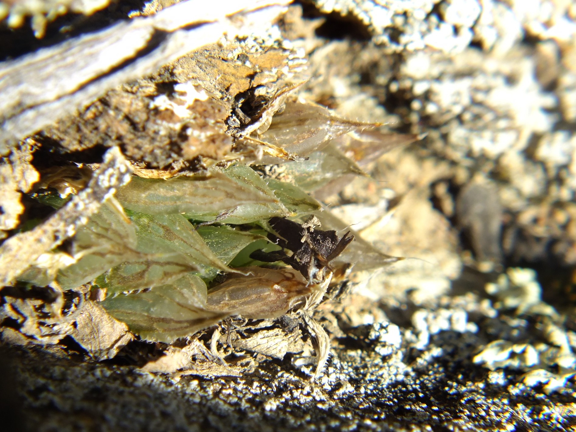
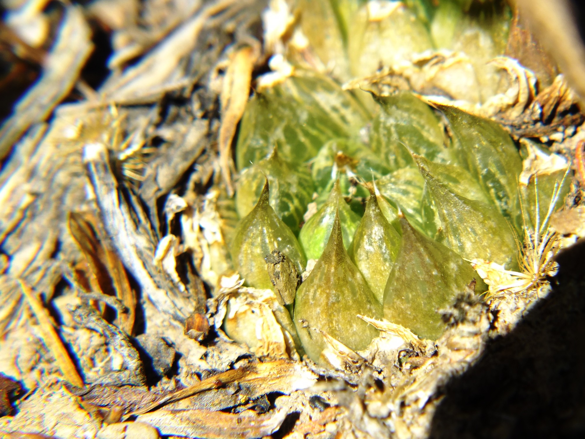
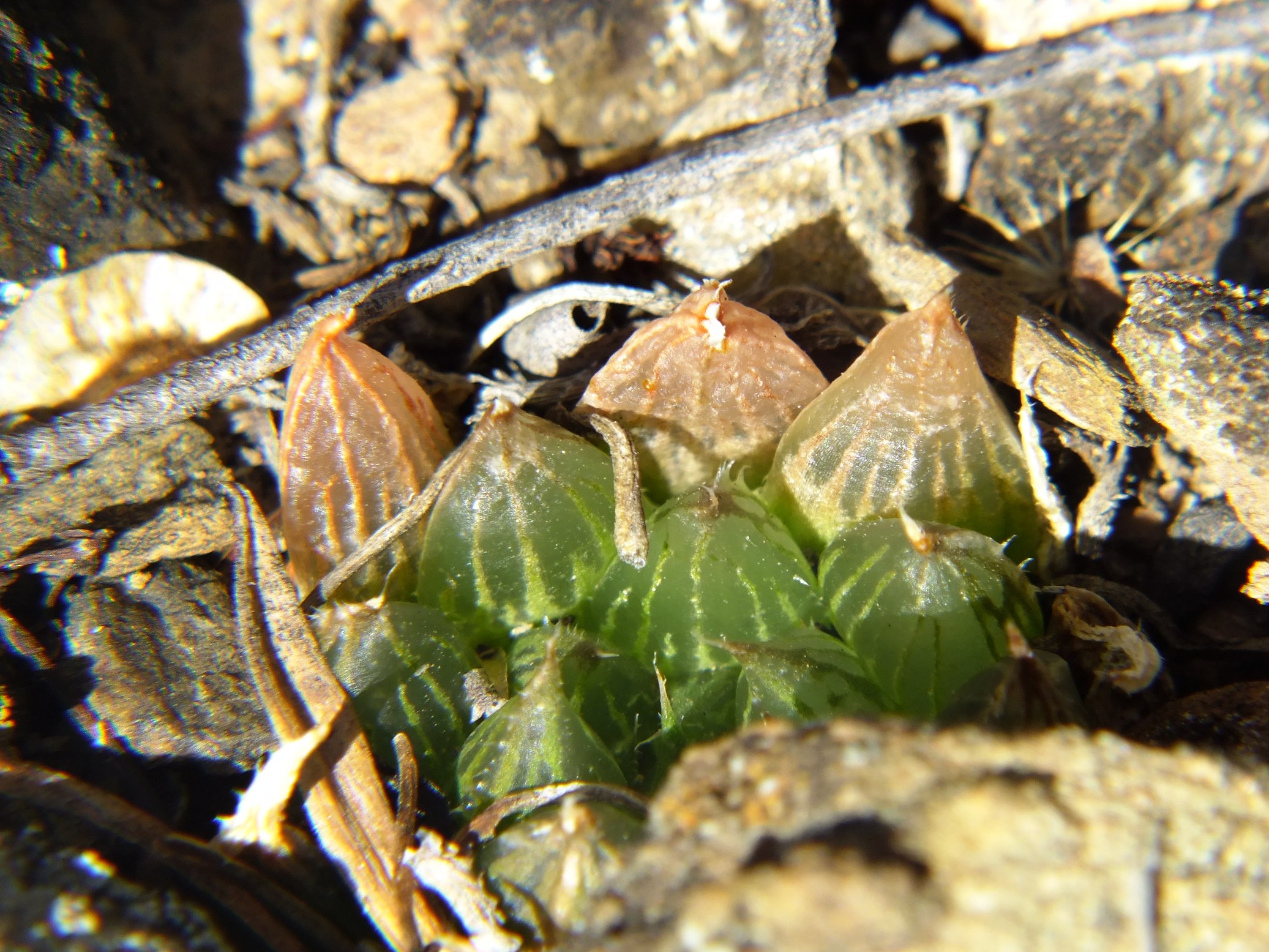
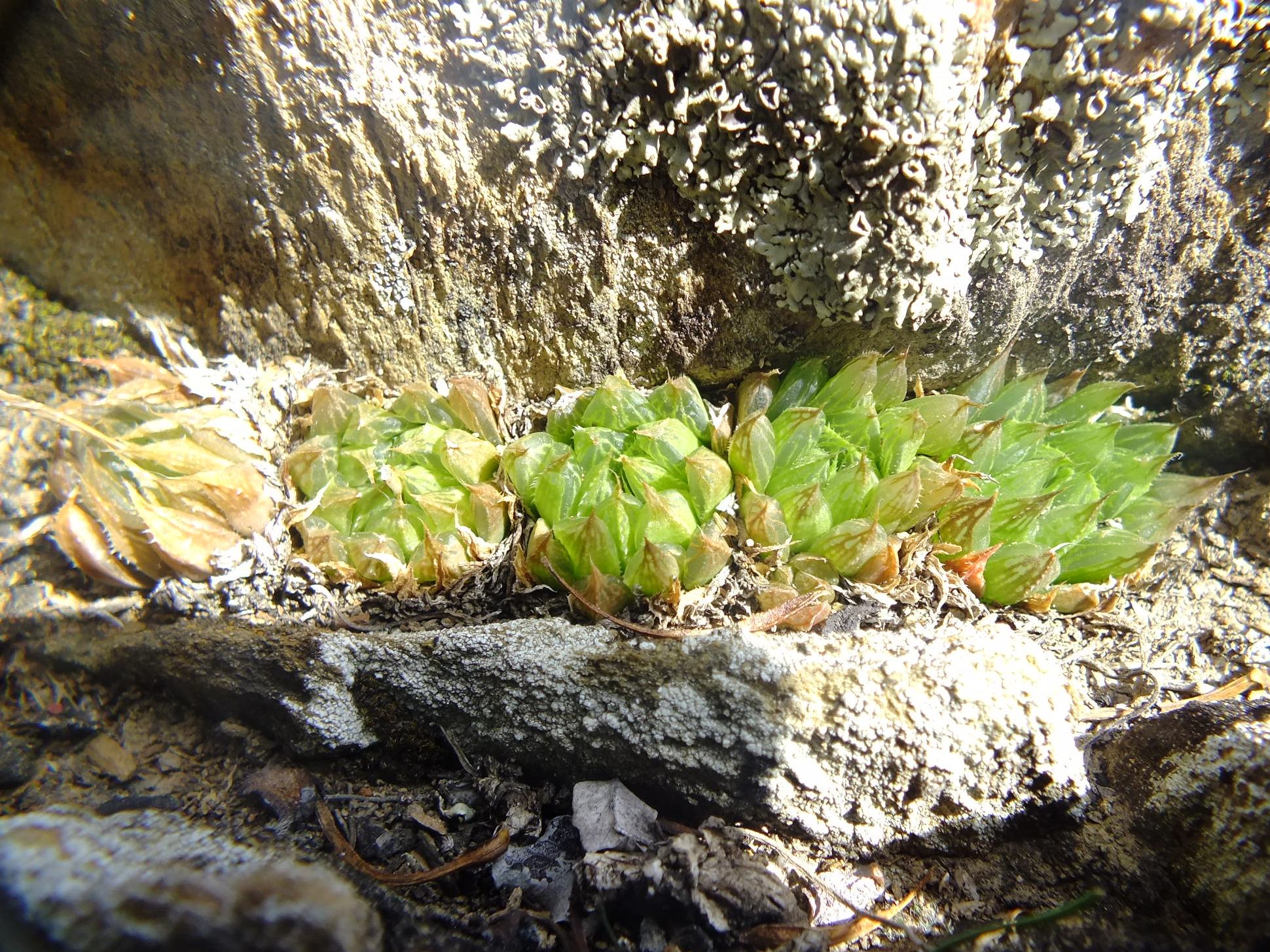
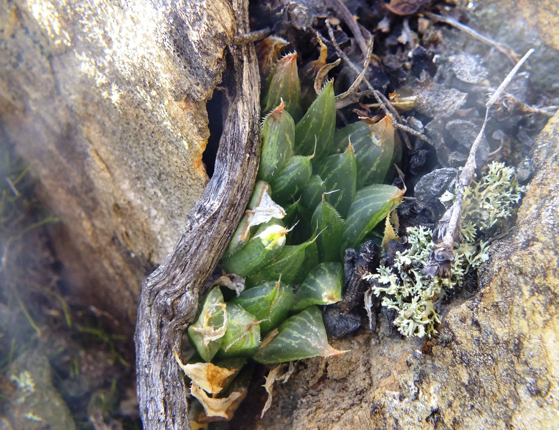
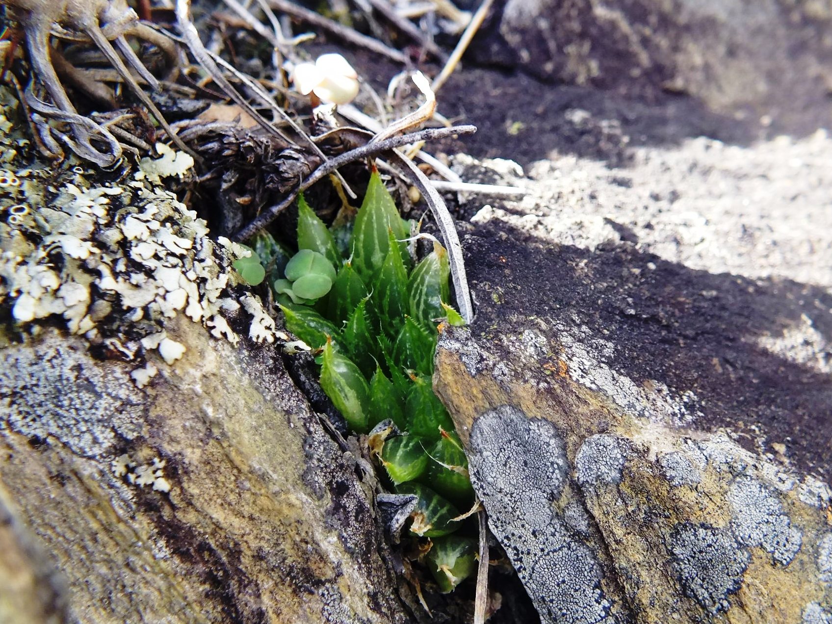
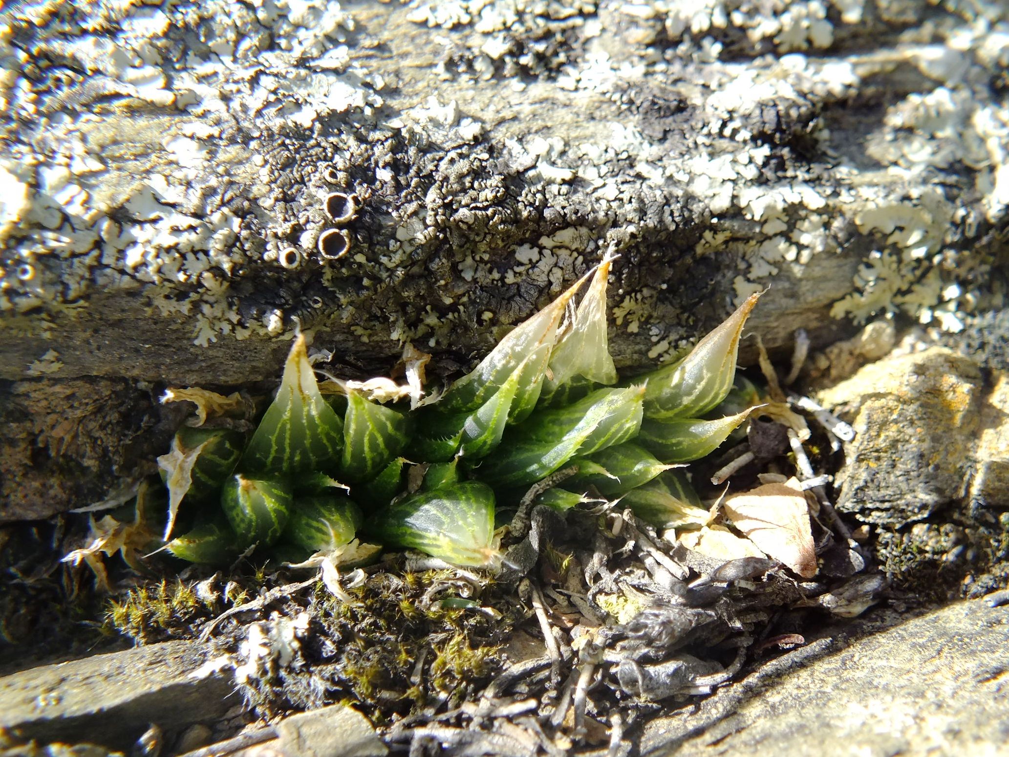
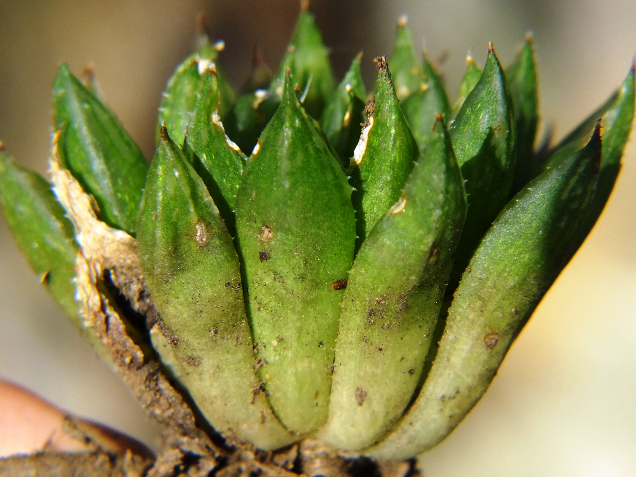
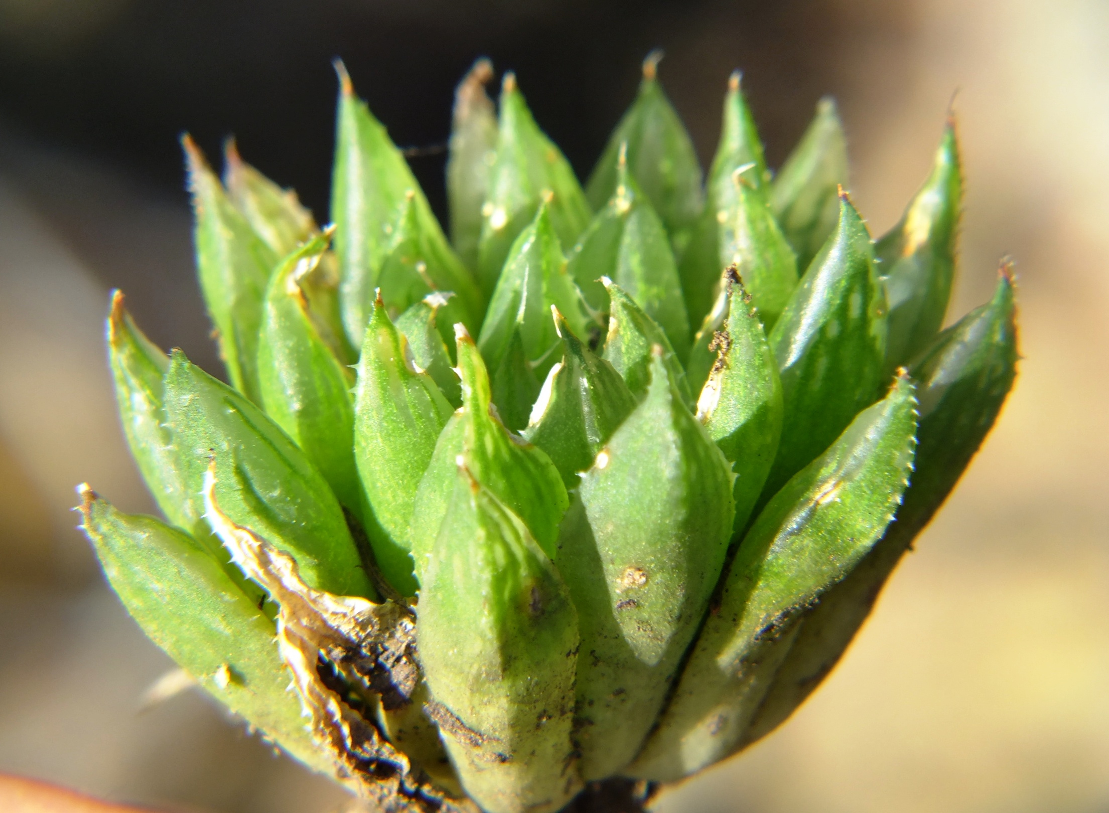
Figs. 5.1 to 5.24 MBB7991a H. maculata, Ouhoekberg E.
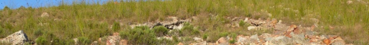
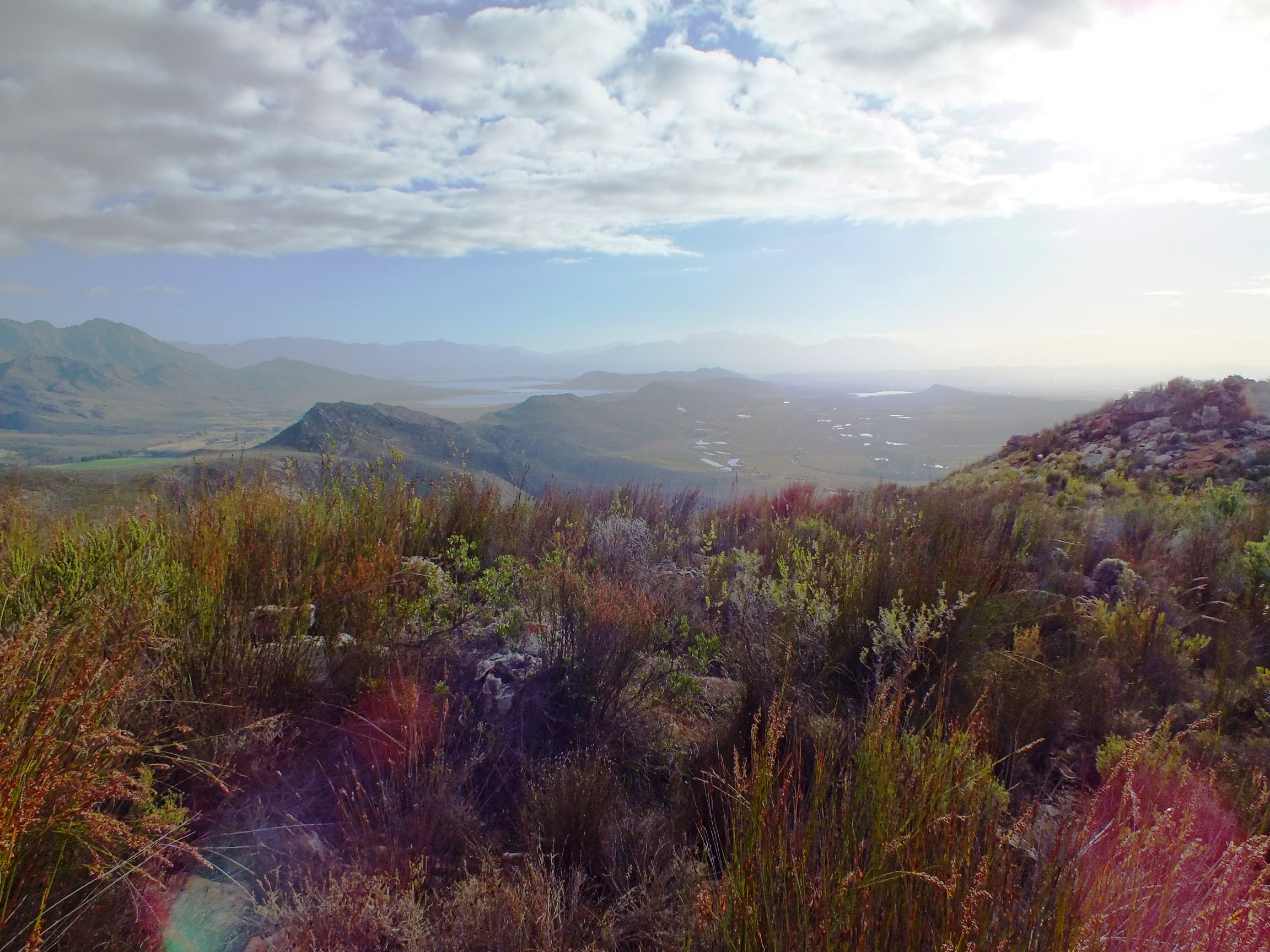
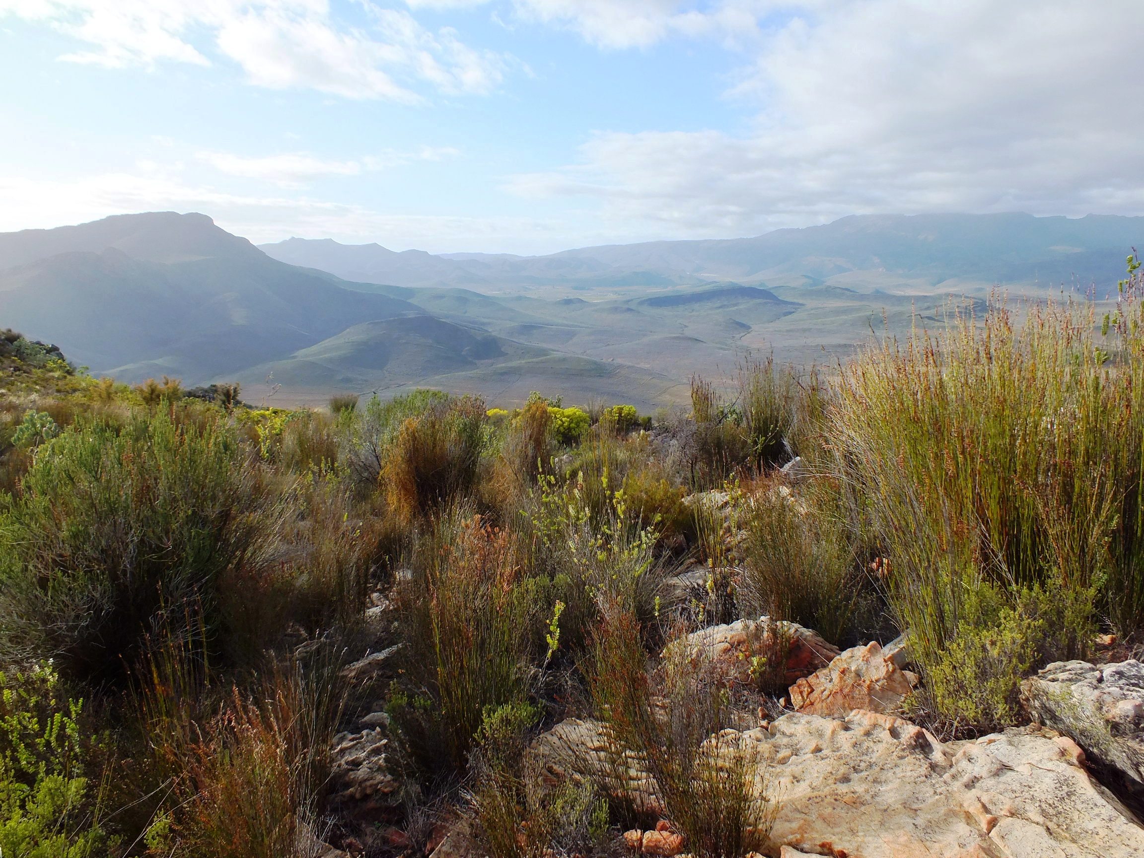
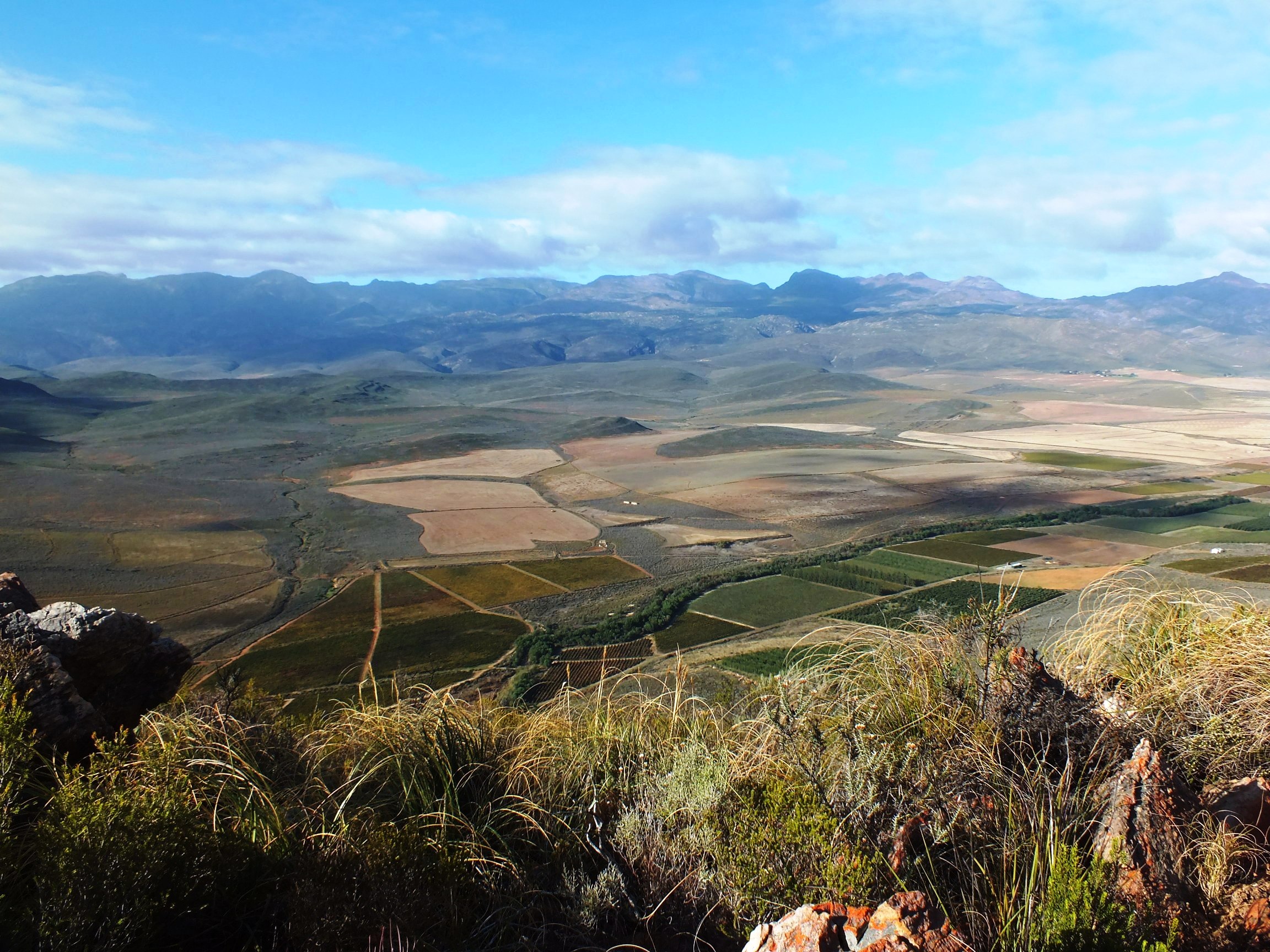
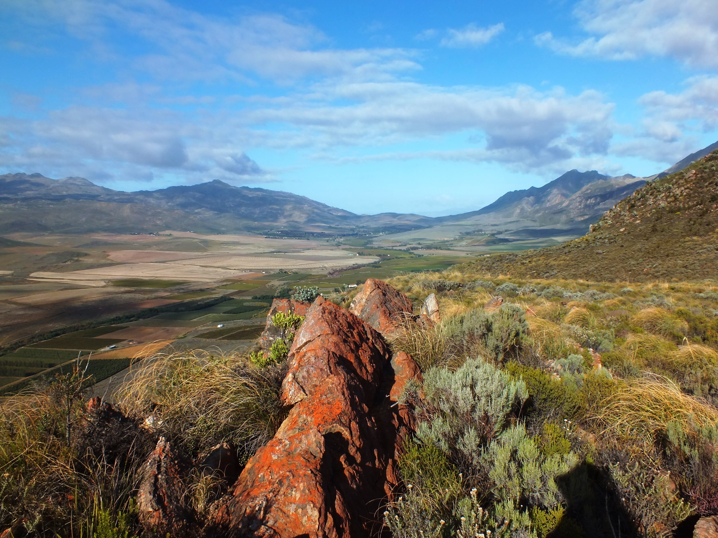
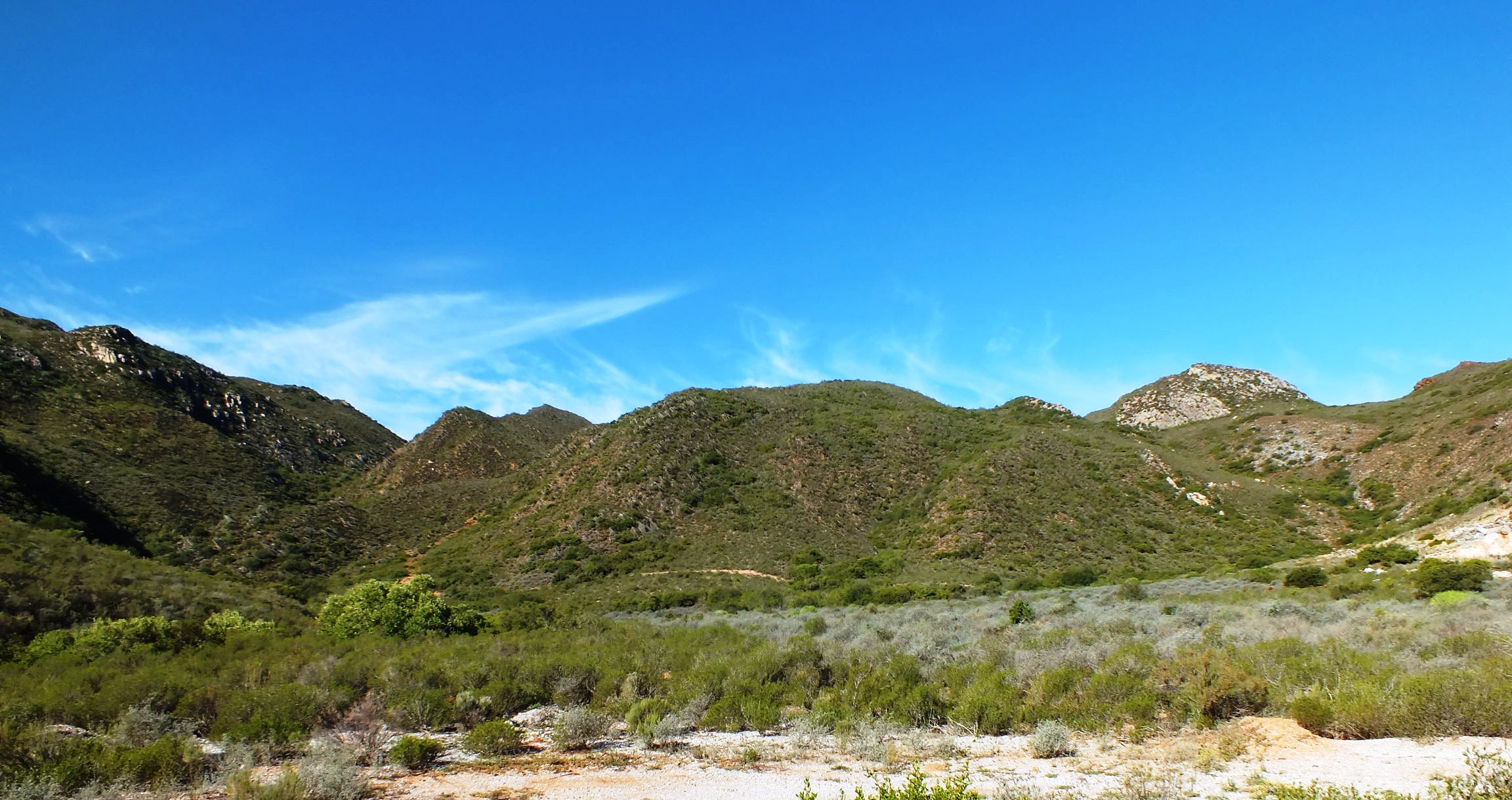
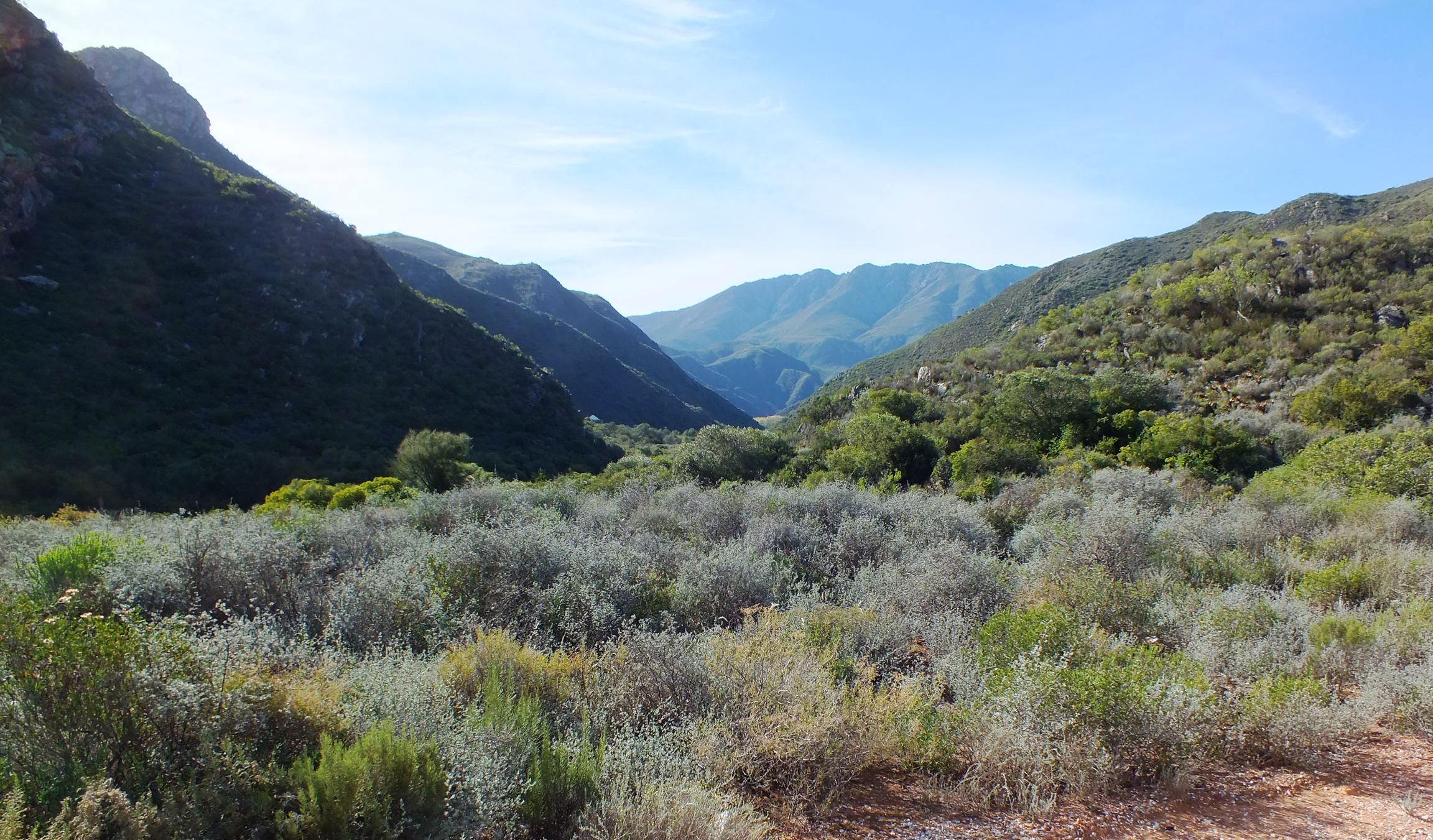
Figs. 5.25 to 5.28 Panoramic views.
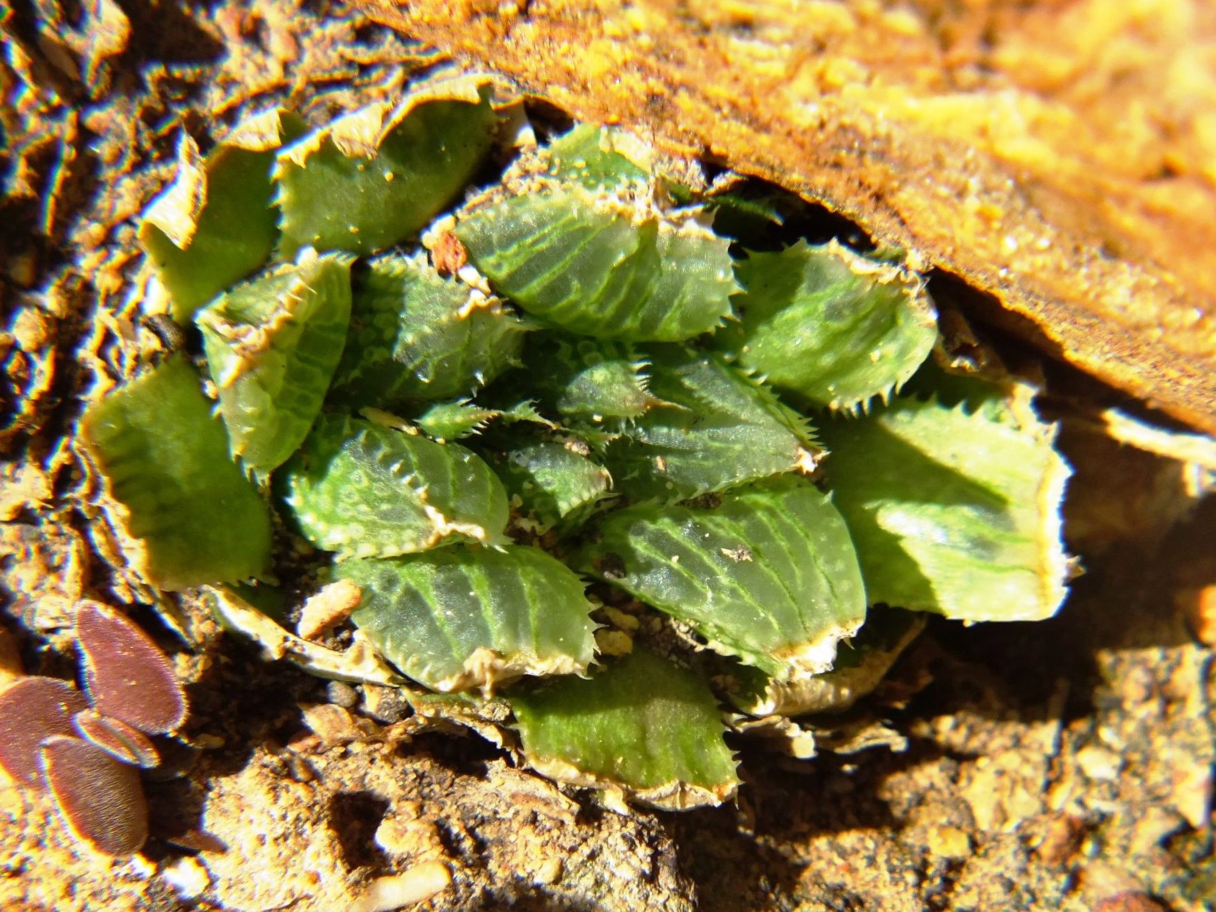
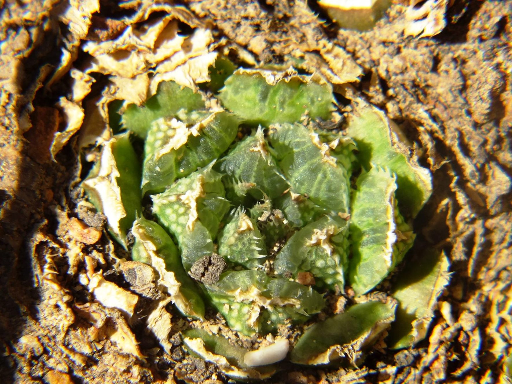
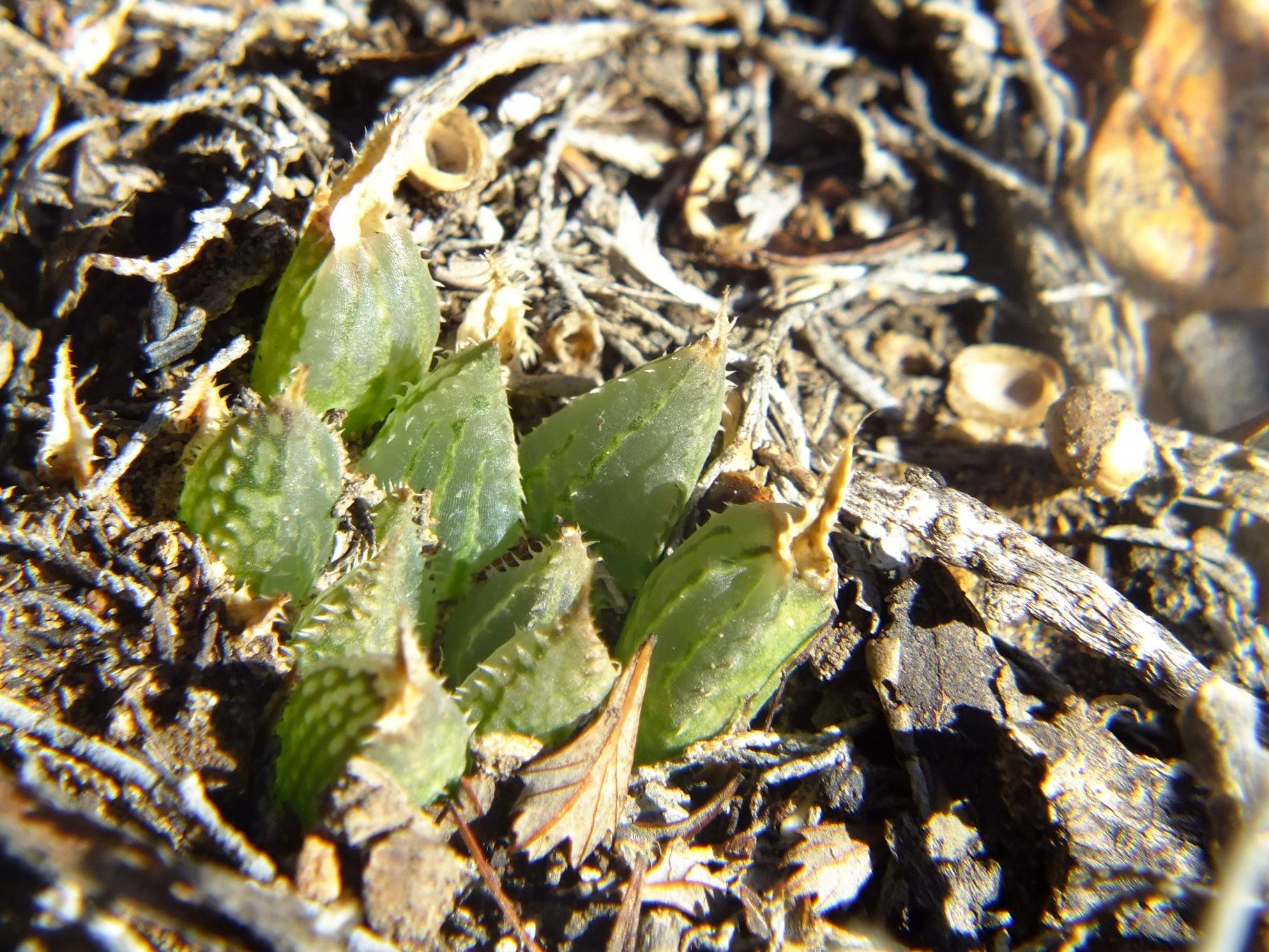
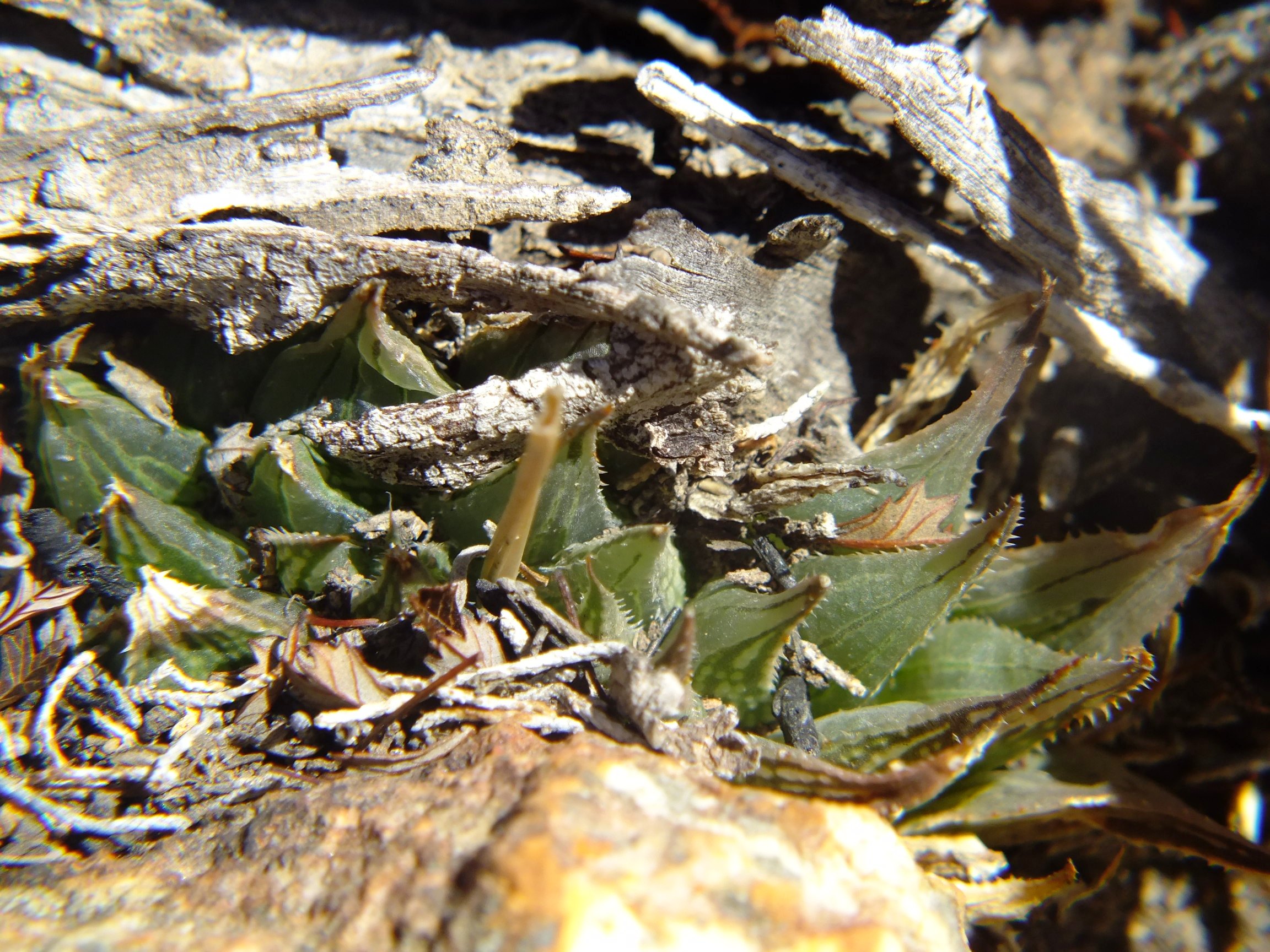
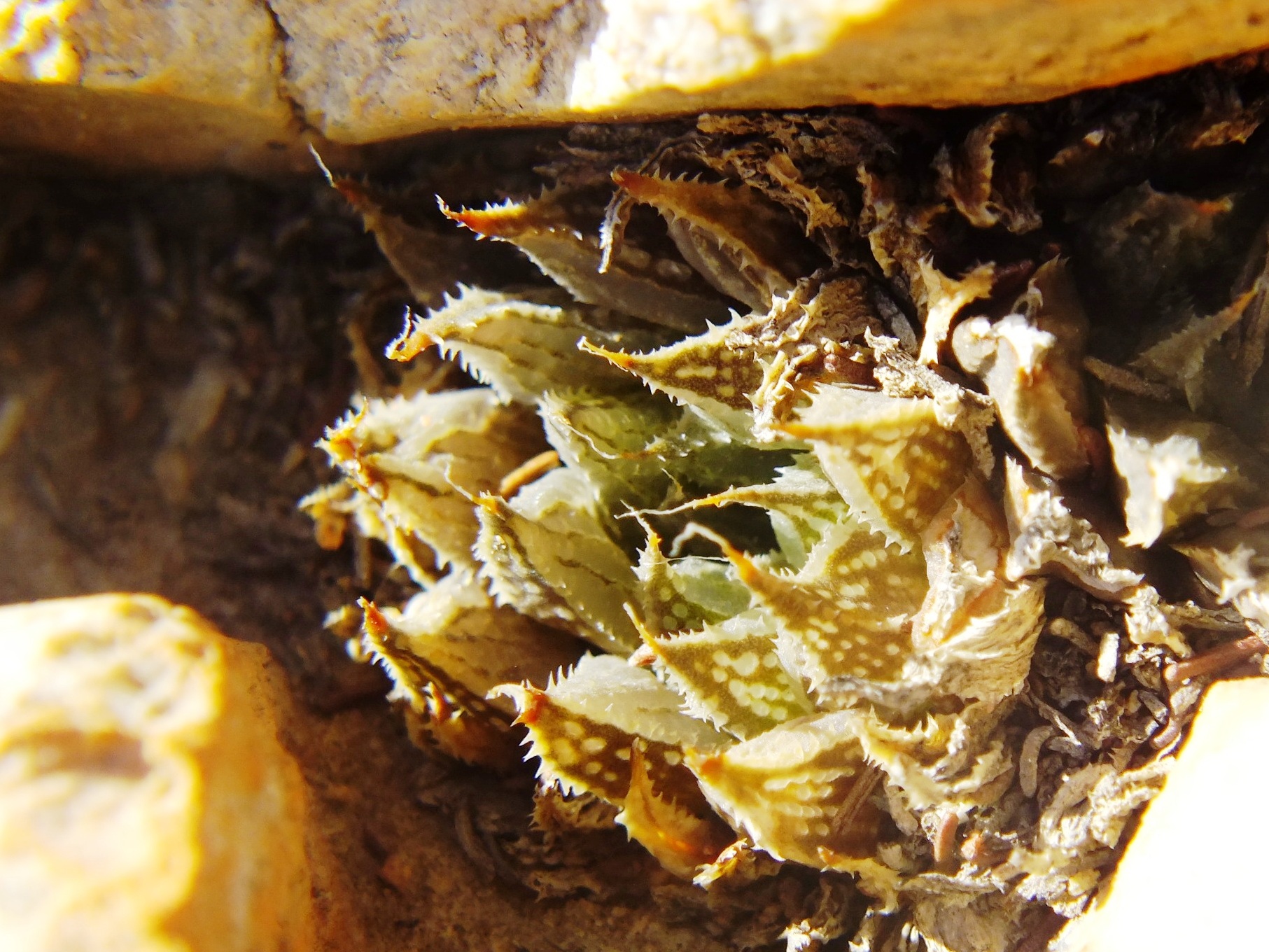
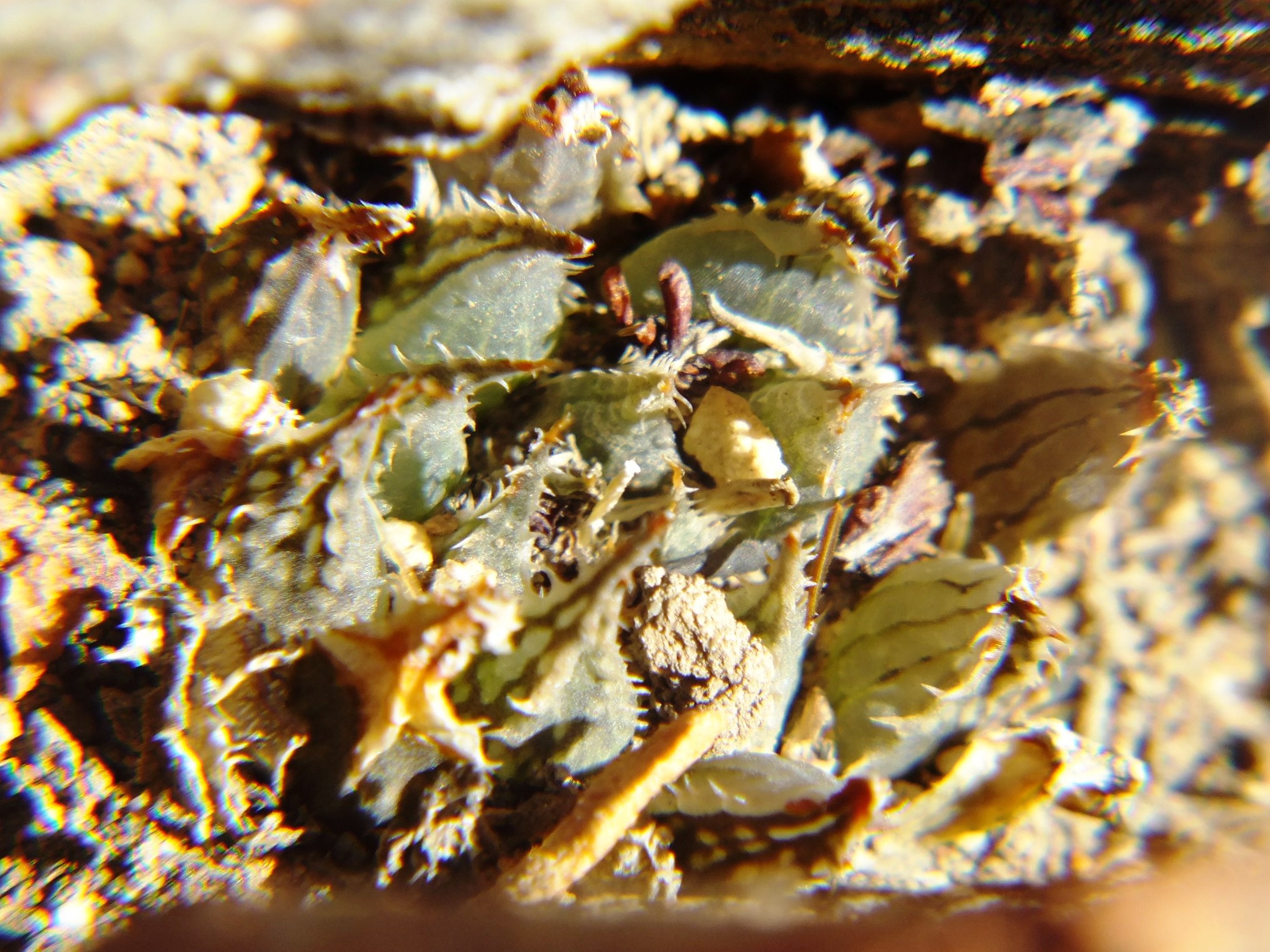
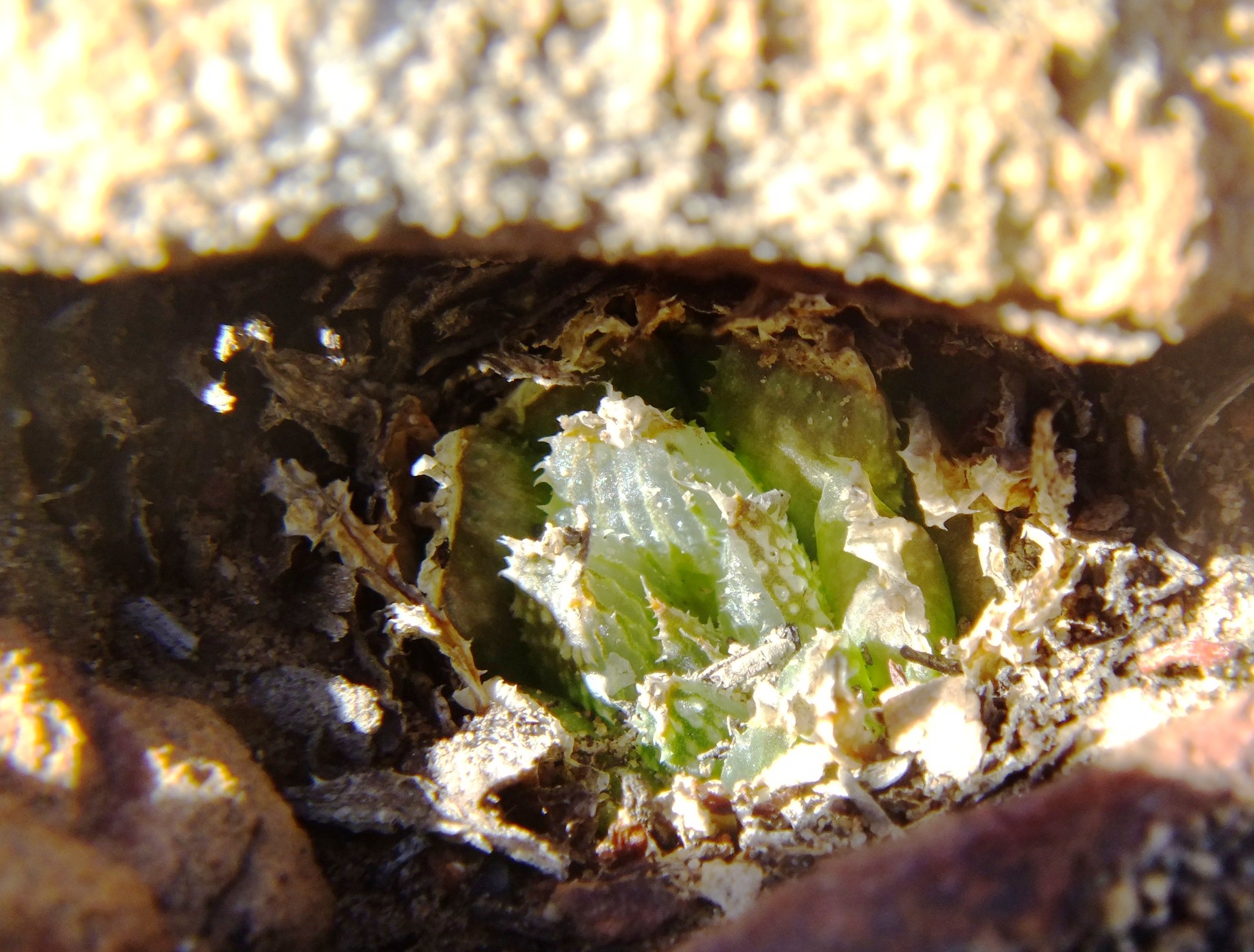
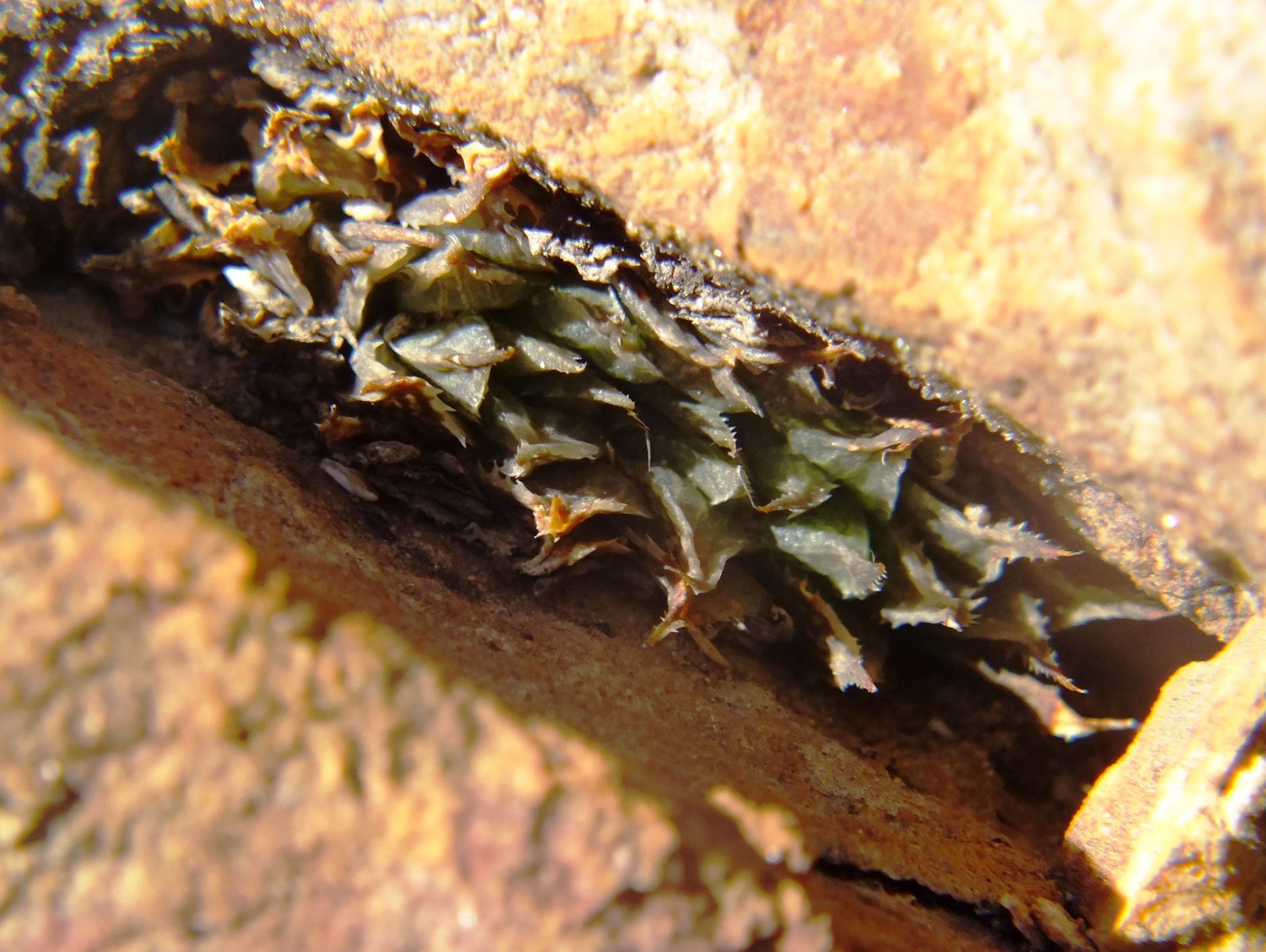
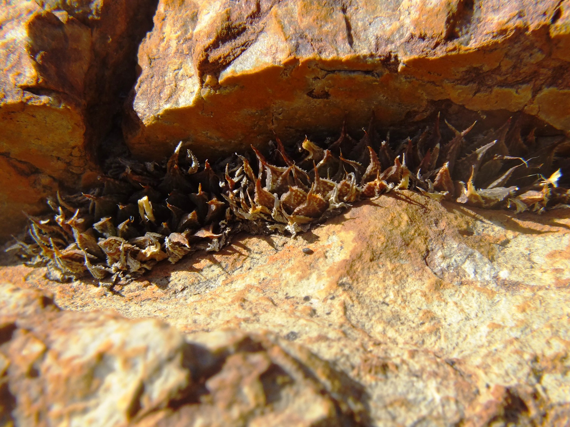
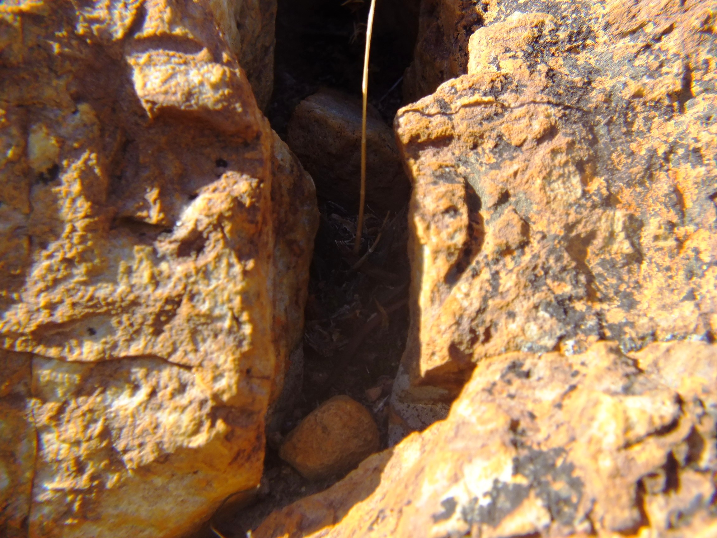
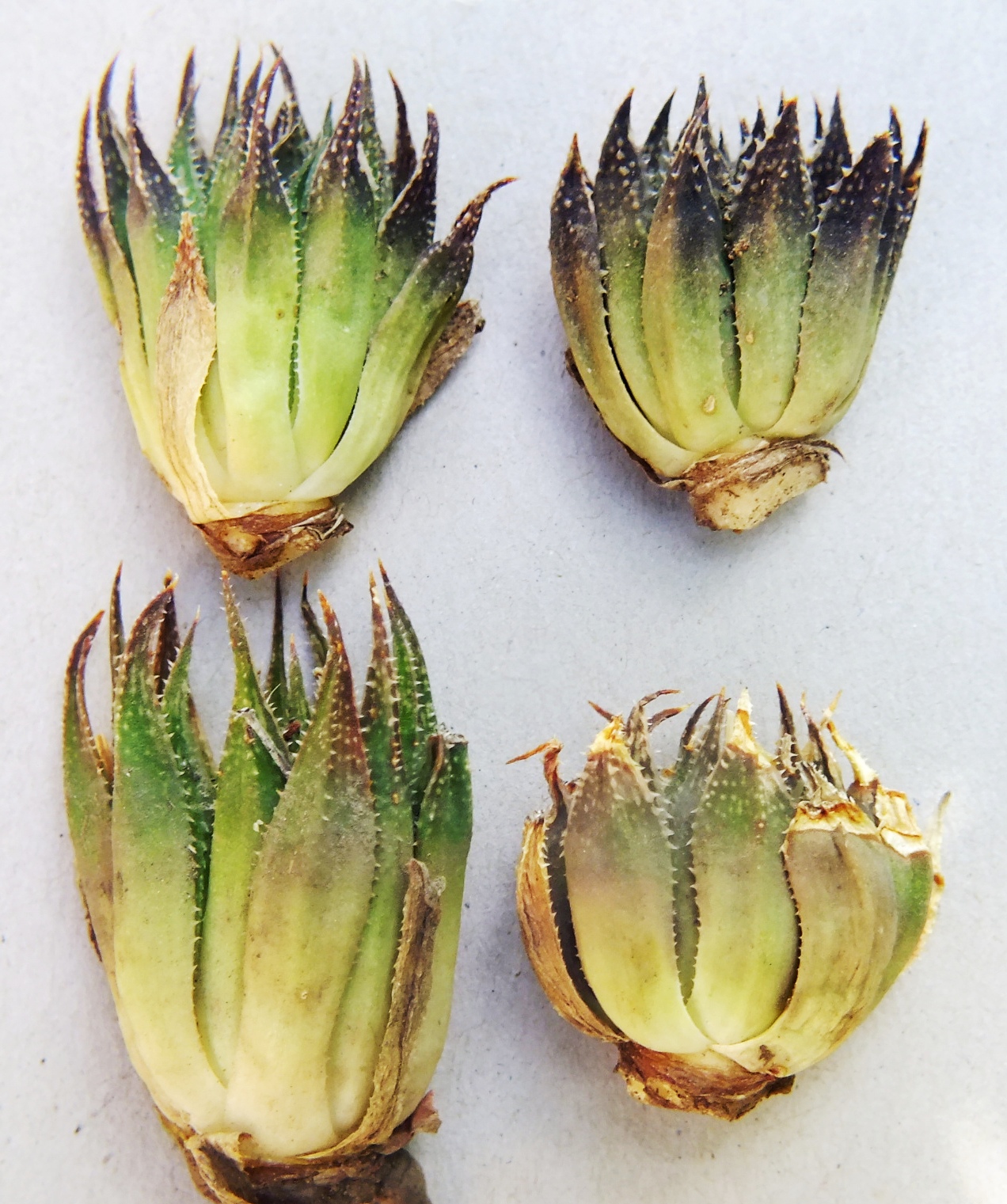
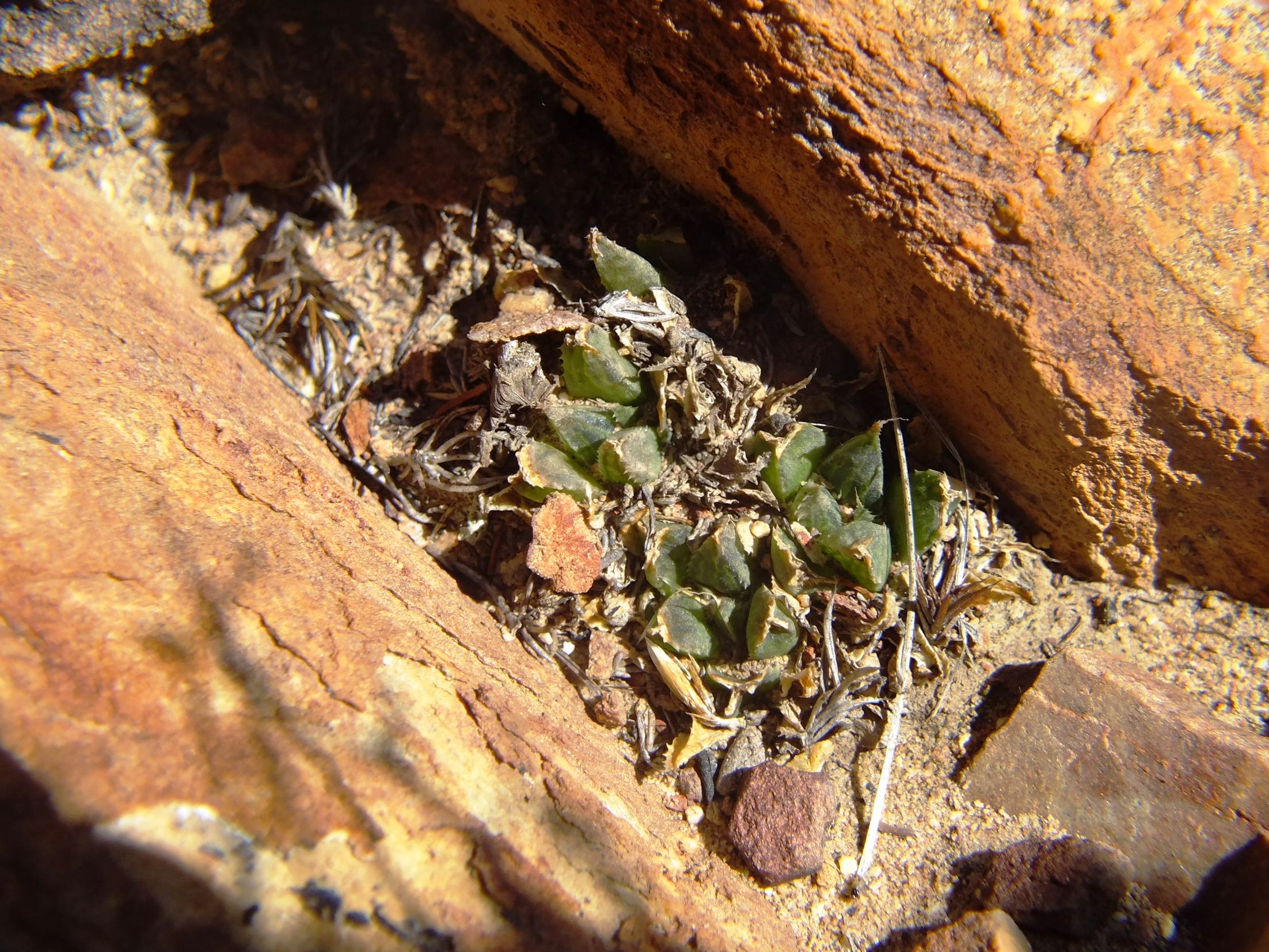
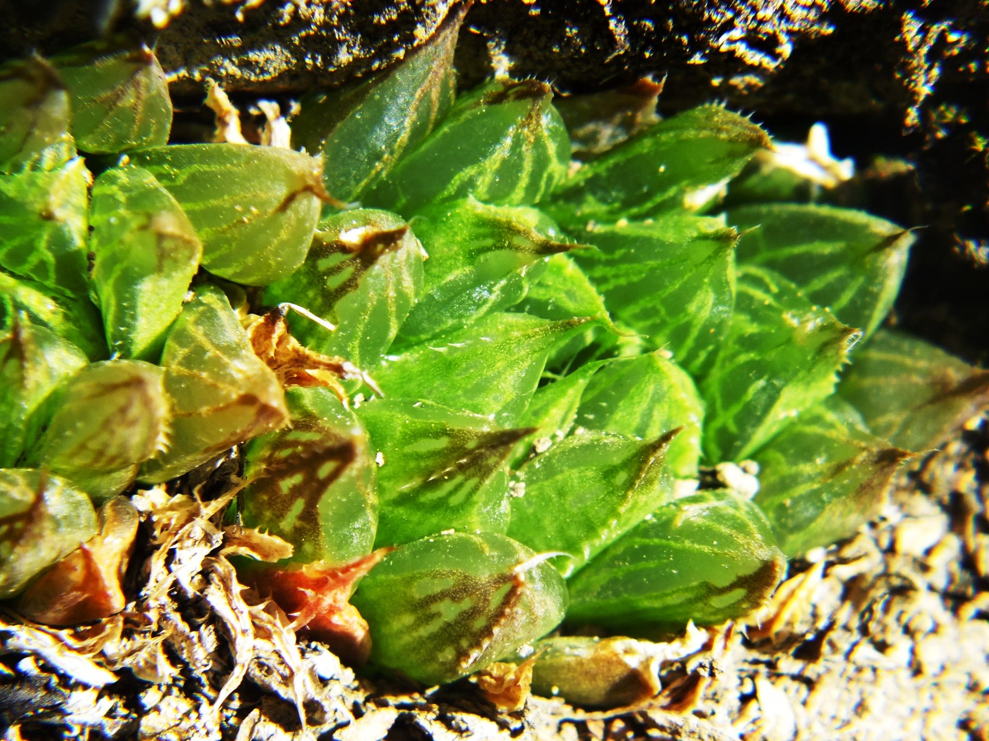
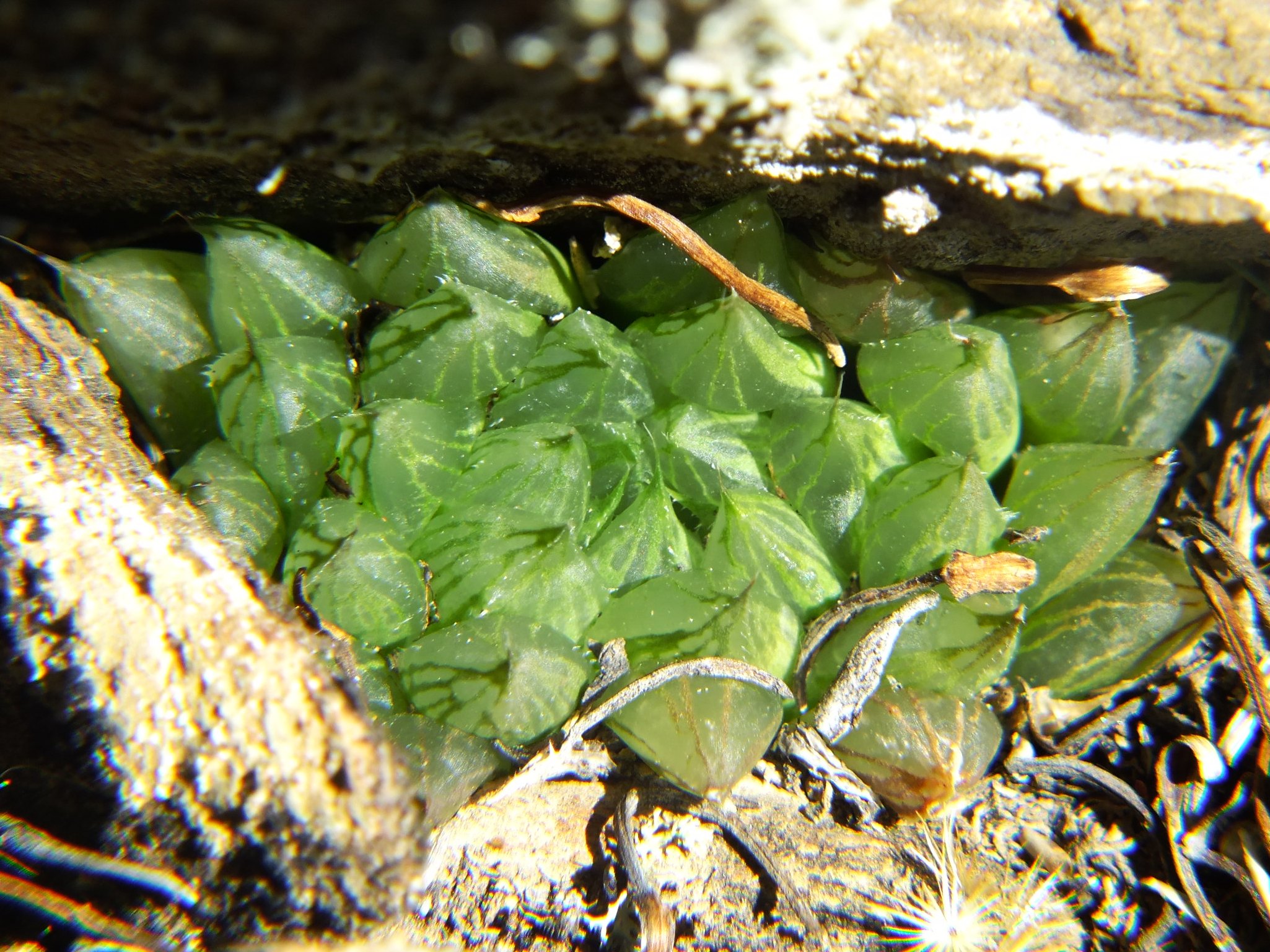
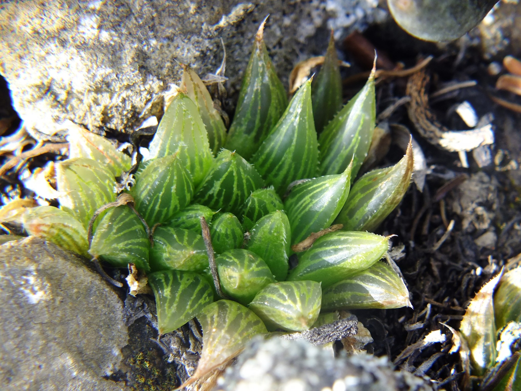
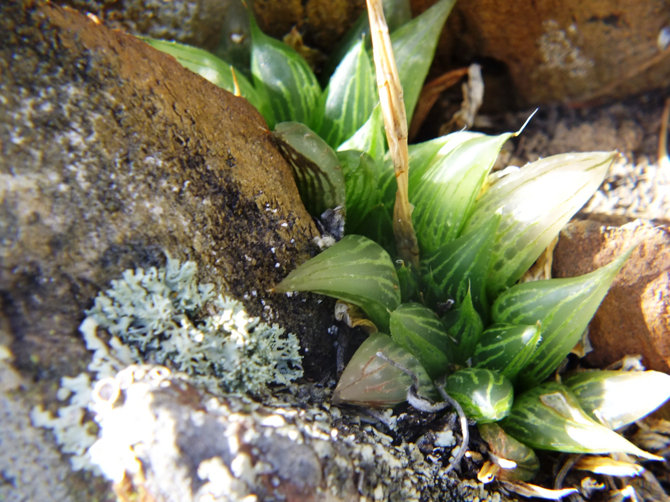
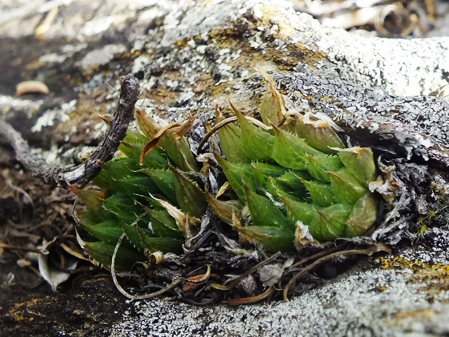
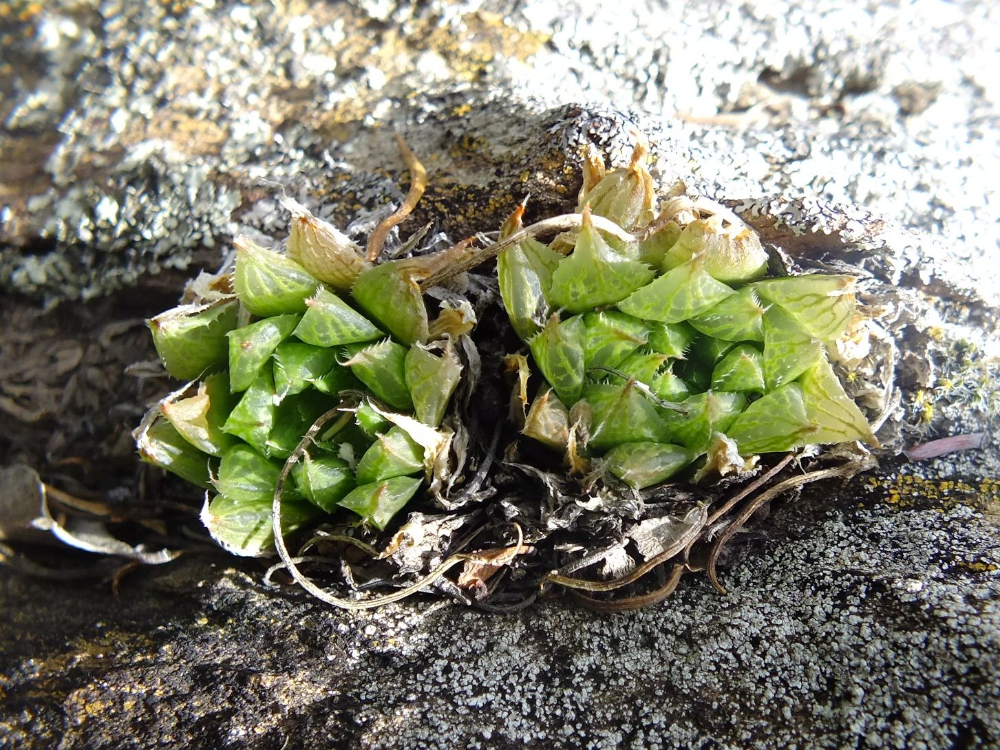
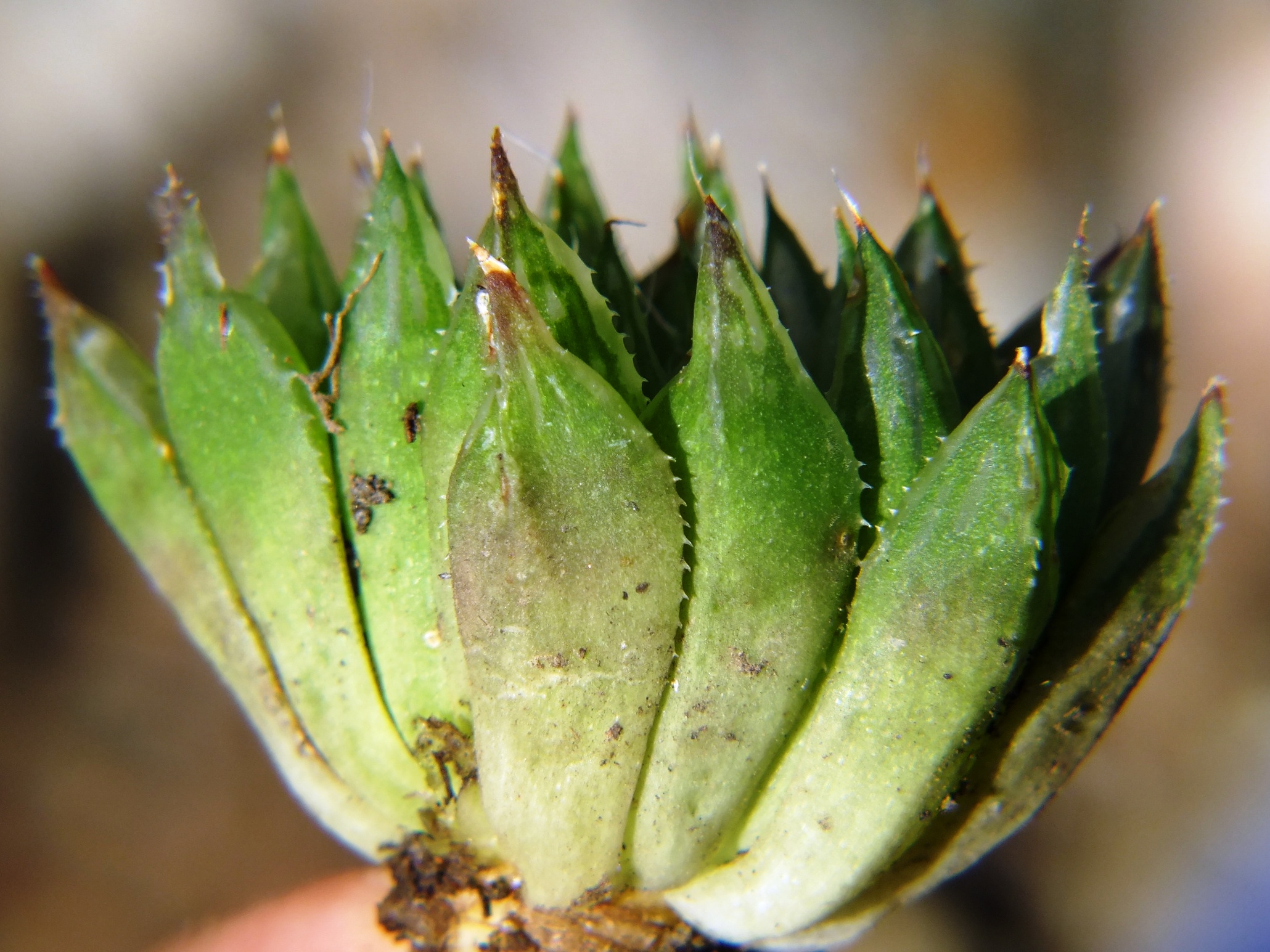
Figs. 5.29 to 5.33 MBB7991b H. maculata, Ouhoekberg.
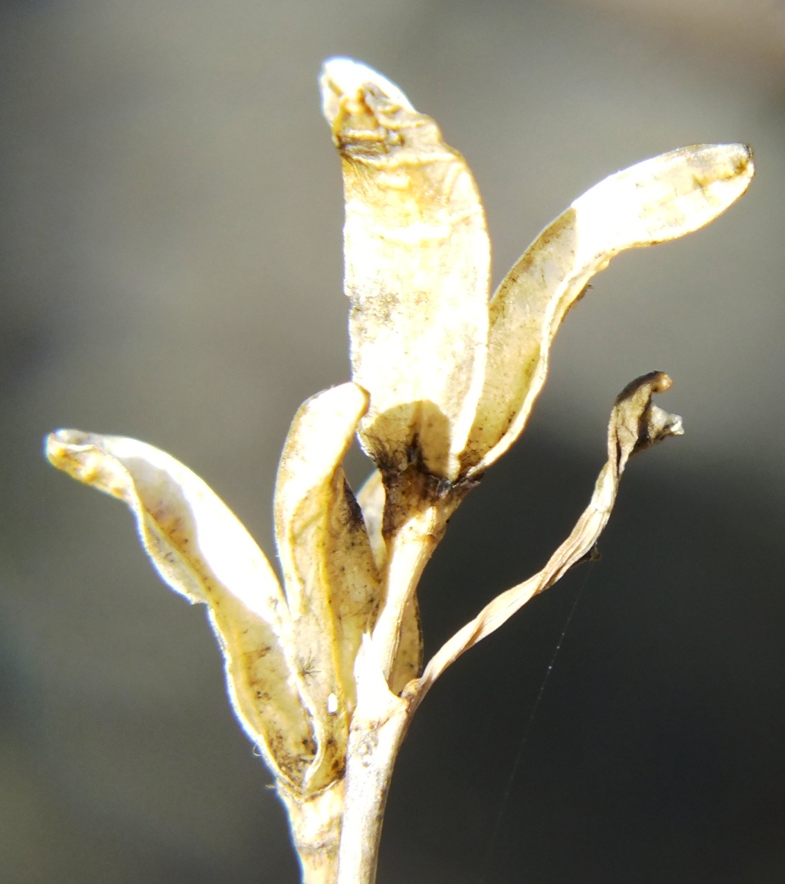
These populations were first observed as one on a higher eastern point of the Ouhoekberg above Moddergat in about 1975. George Lombard accompanied Kobus Venter and me there in 1996 and we found them on the western high point. I located them nearby in 2004. We found them again recently as two more populations on the eastern heights near where I must have observed them first. Note the reticulation in the dried fruit capsule. It can be very much more evident in species like H. pulchella but I seriously doubt its diagnostic value. I have included views to… (a) north to show the water of the Brandvlei Dam in the far distance. The area between has not been adequately explored. What is interesting is the geology. The mountains on the left are the Table Mountain Sandstones, nearer is the valley where the soft Bokkeveld Shale has been eroded away, and then comes the Witteberg Sandstone with a neck of soft shale, and then low down is Dwyka tillite. H. herbacea is present on the Dwyka outcrop barely visible in the middle right. (b) The second view is looking east at first the Hammansberg and beyond that Ouhangsberg with H. mirabilis on its eastern flanks. The view looking southeast is over low Bokkeveld shale ridges with an abundance of H. herbacea. The view south is to Villiersdorp where Wolfkloof (not the Robertson Wolfkloof) is a deep valley behind the Table Mountain Sandstone left of the gap through the Rooihoogte Pass. Here is where H. herbacea ‘lupula’ occurs, unusually in sandstone. Altitude and skeletal soils of different origins contribute hugely to the genetic mosaic. Arable depositional soils exclude Haworthia and obviously inhibit contact between populations.
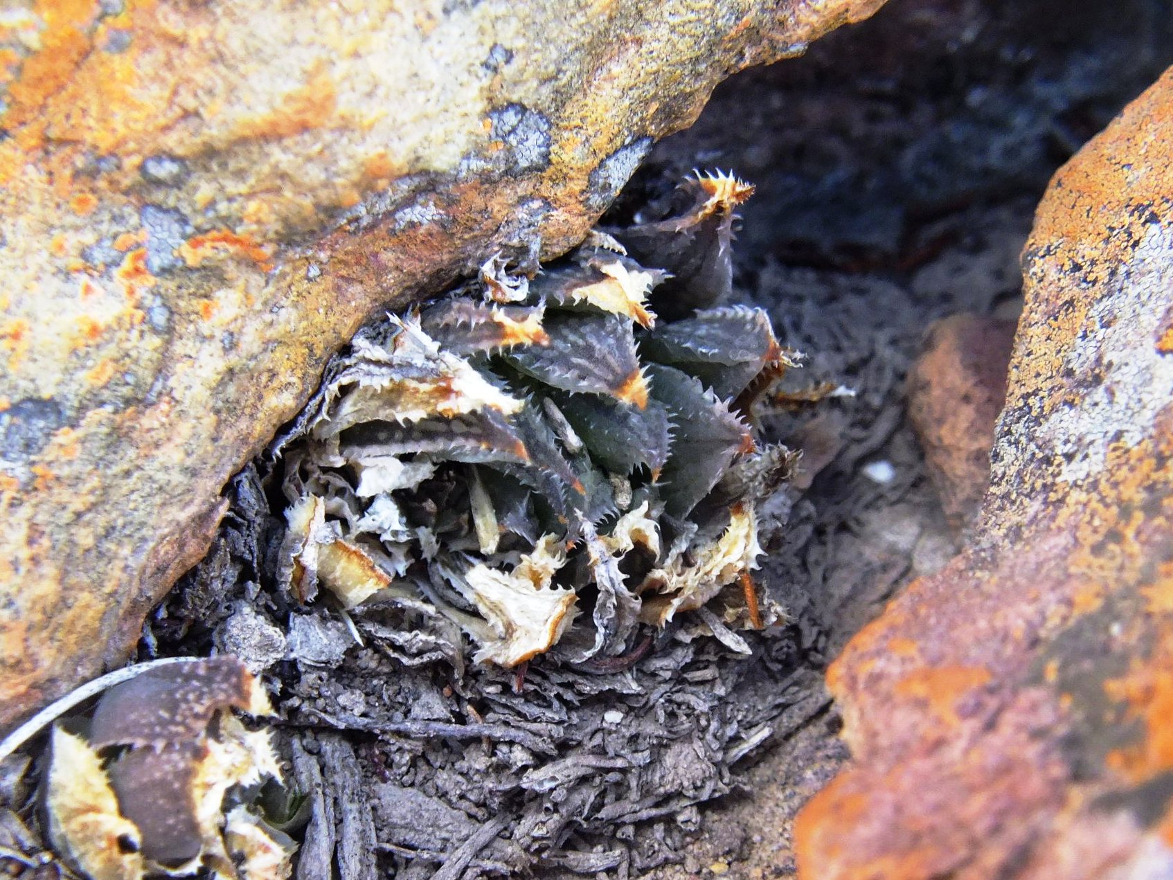
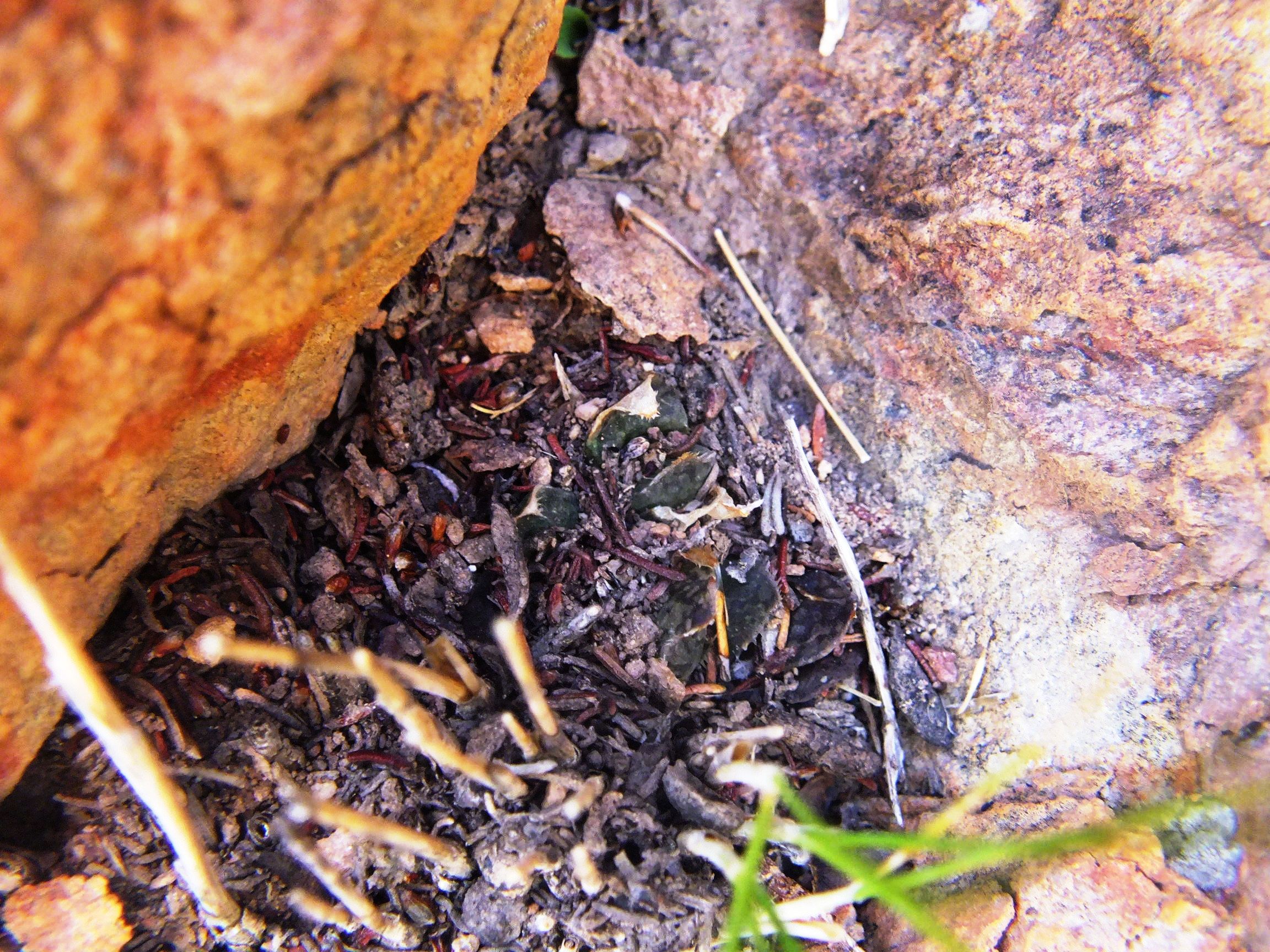

Set 6. Map point 8. MBB4461 and 6514 H. mirabilis ‘notabilis’. Buitenstekloof
I am sorry that I have probably contributed to the confusion here. It started with von Poellnitz with a species he described as H. intermedia from this locality where both H. mirabilis ‘notabilis’ and H. reticulata occur, but he included E. Cape H. cooperi in the synonymy so it is not quite clear what he meant. While H. reticulata can be easily recognized for what it is at Buitenstekloof, the other population I ascribe to H. mirabilis ‘notabilis’. But I am not certain because I recall it flowering in November and with a flower type nearer to H. maculata than to H. mirabilis. It appears to me that further exploration may expose continuity westwards to the Sandhills/Audensberg populations of H. maculata and even northwards to unknowns.
H. mirabilis ‘notabilis’ (with or without the inverted commas) occurs from Klassvoogds between Ashton and Robertson, westwards through Wolfkloof, Robertson to Agtervink and further westwards still to Buitenstekloof. This all along the great Worcester fault line and intrusive igneous rock. The dolomite is apparently difficult to explain geologically and is associated with the granite-like extrusions in the area.
♦ .
Pingback: Haworthia Update Vol. 9 - Addendum