Set 3. Map point 5.
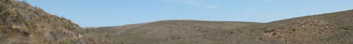
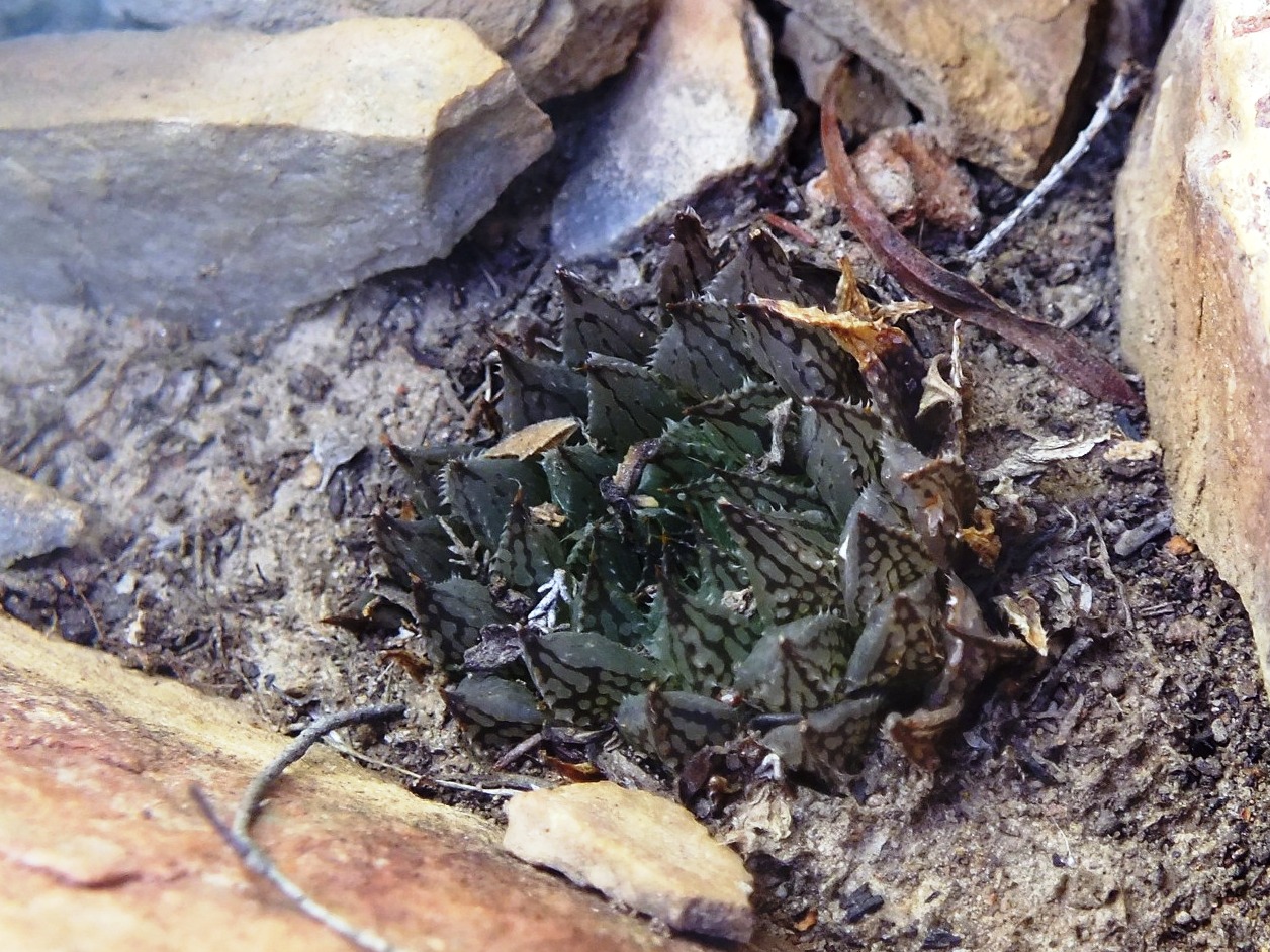
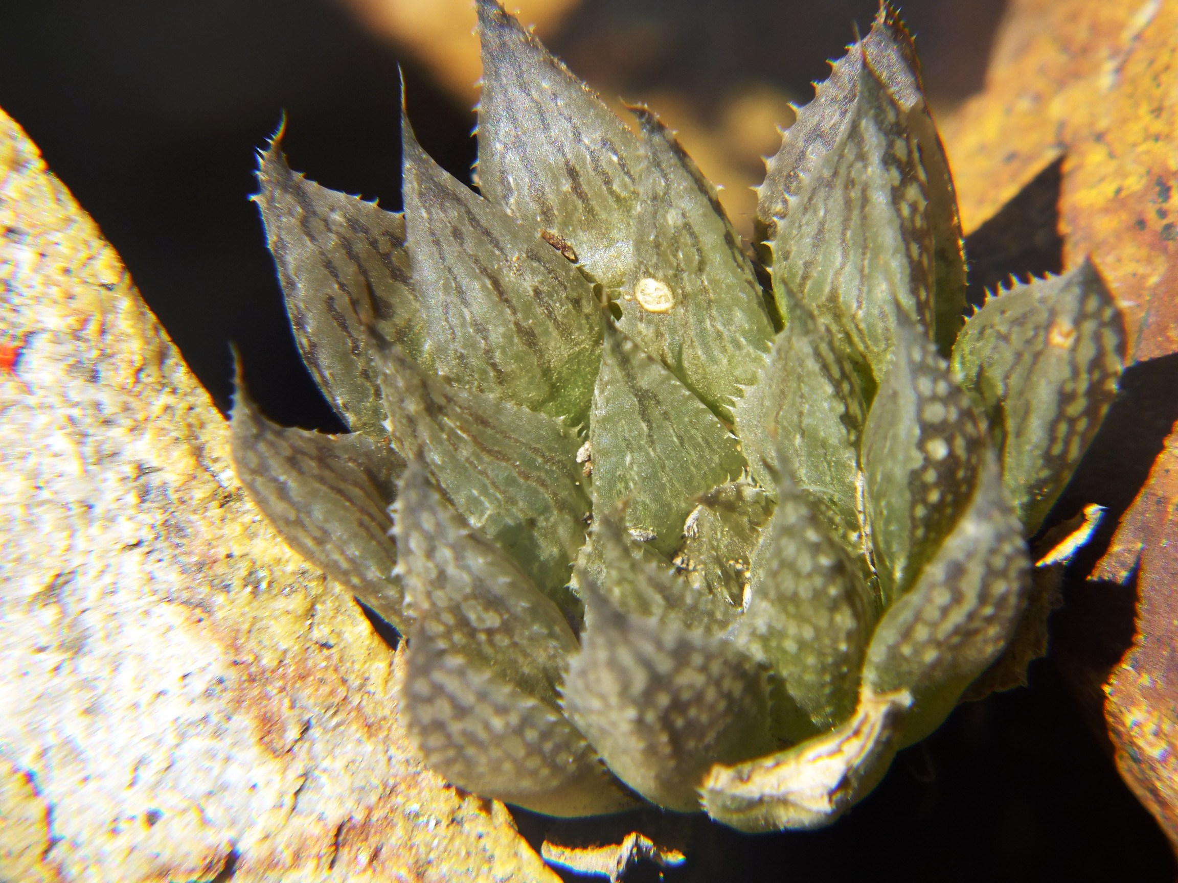
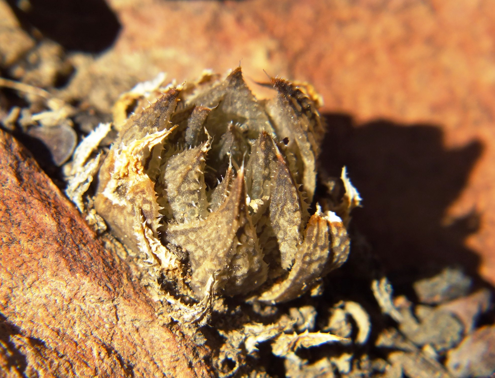
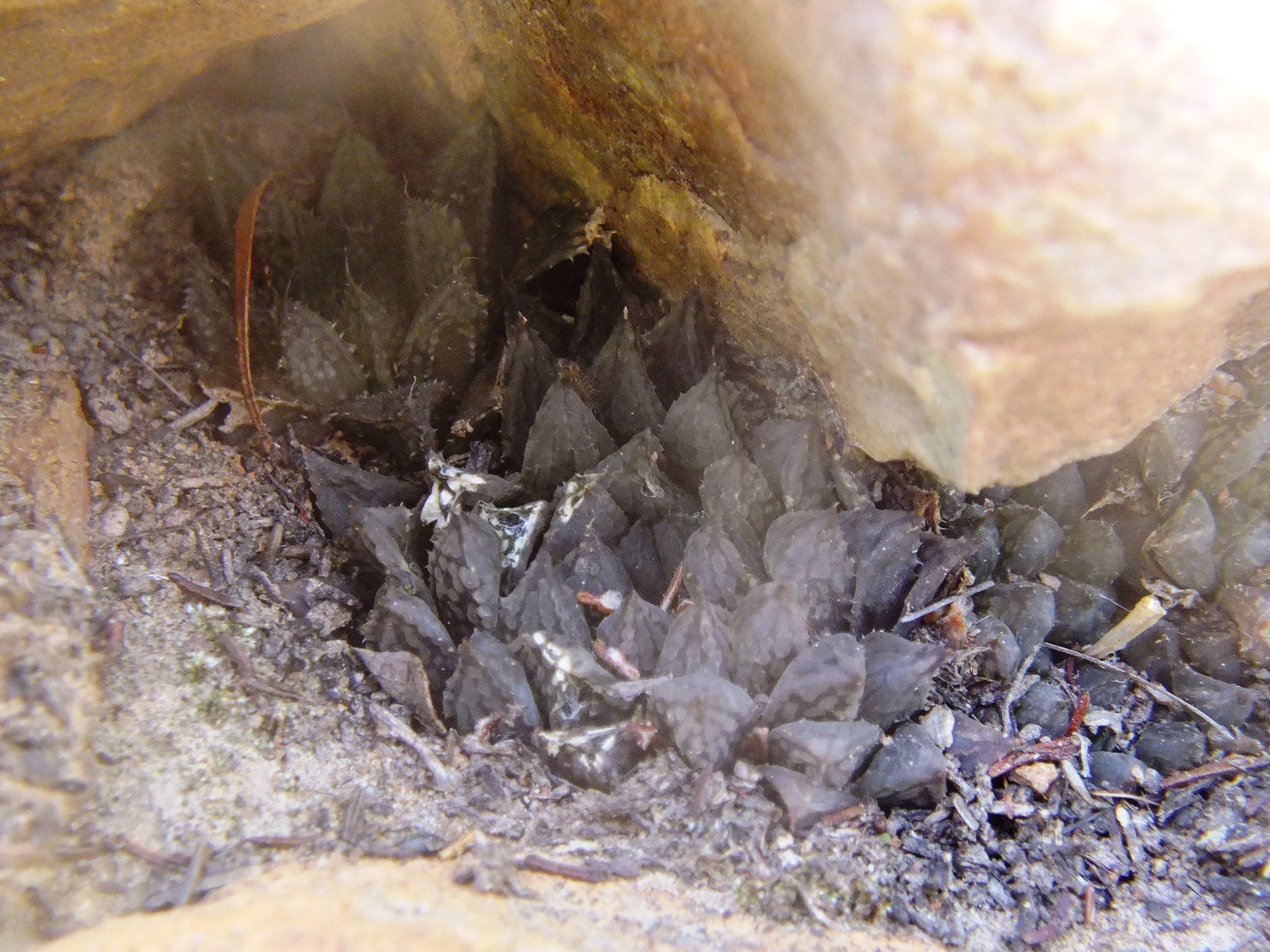
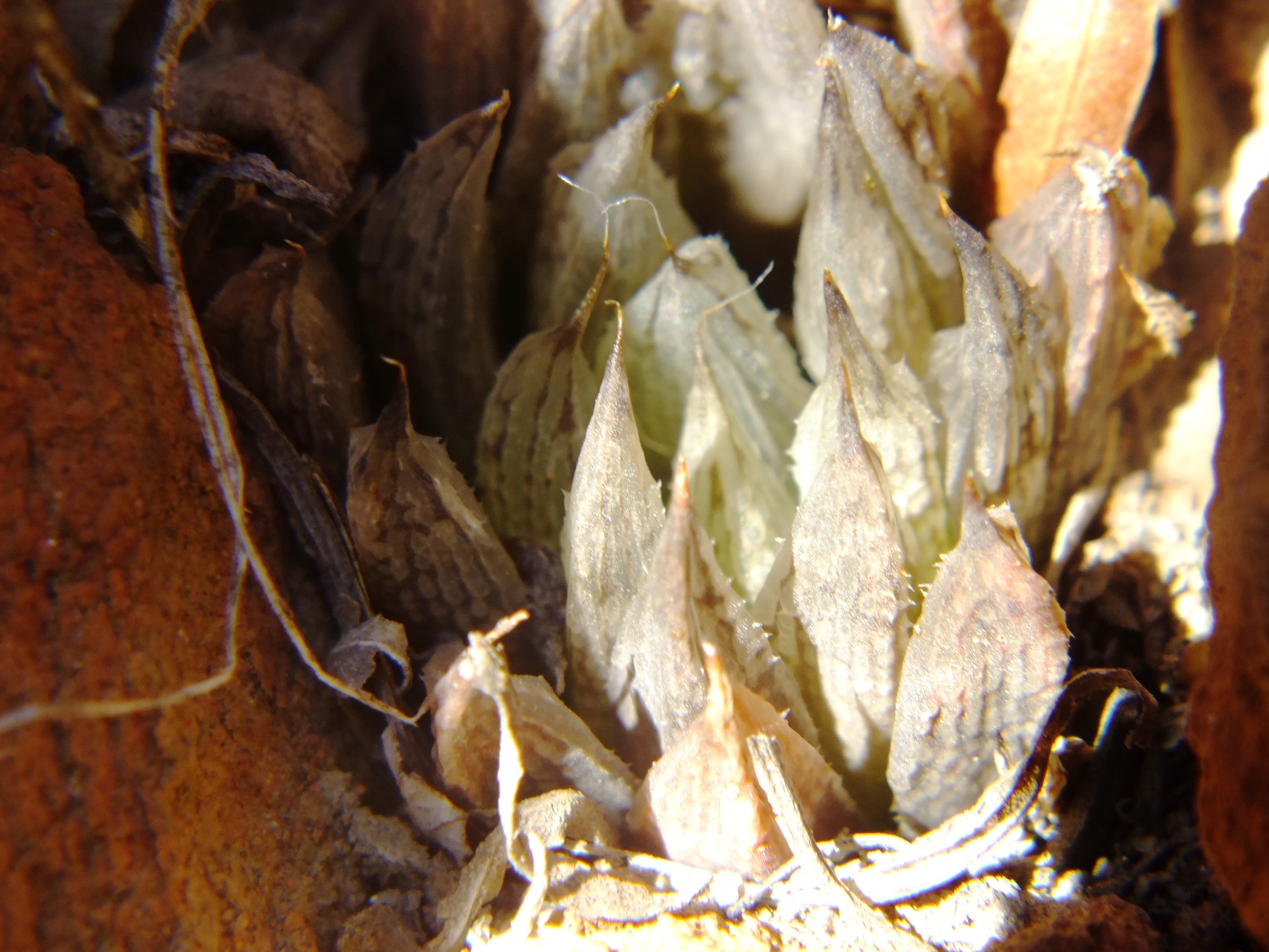
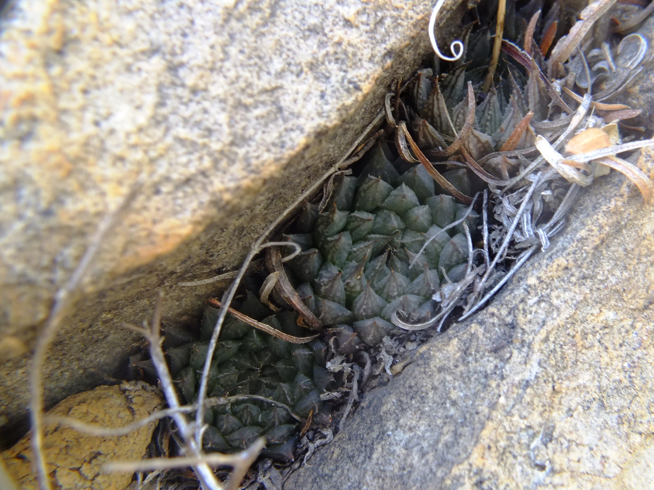
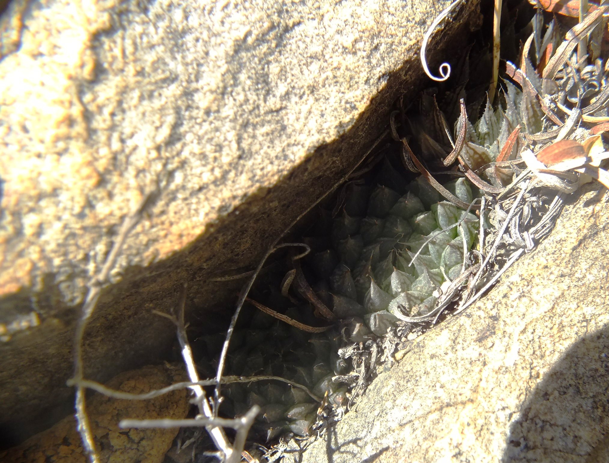
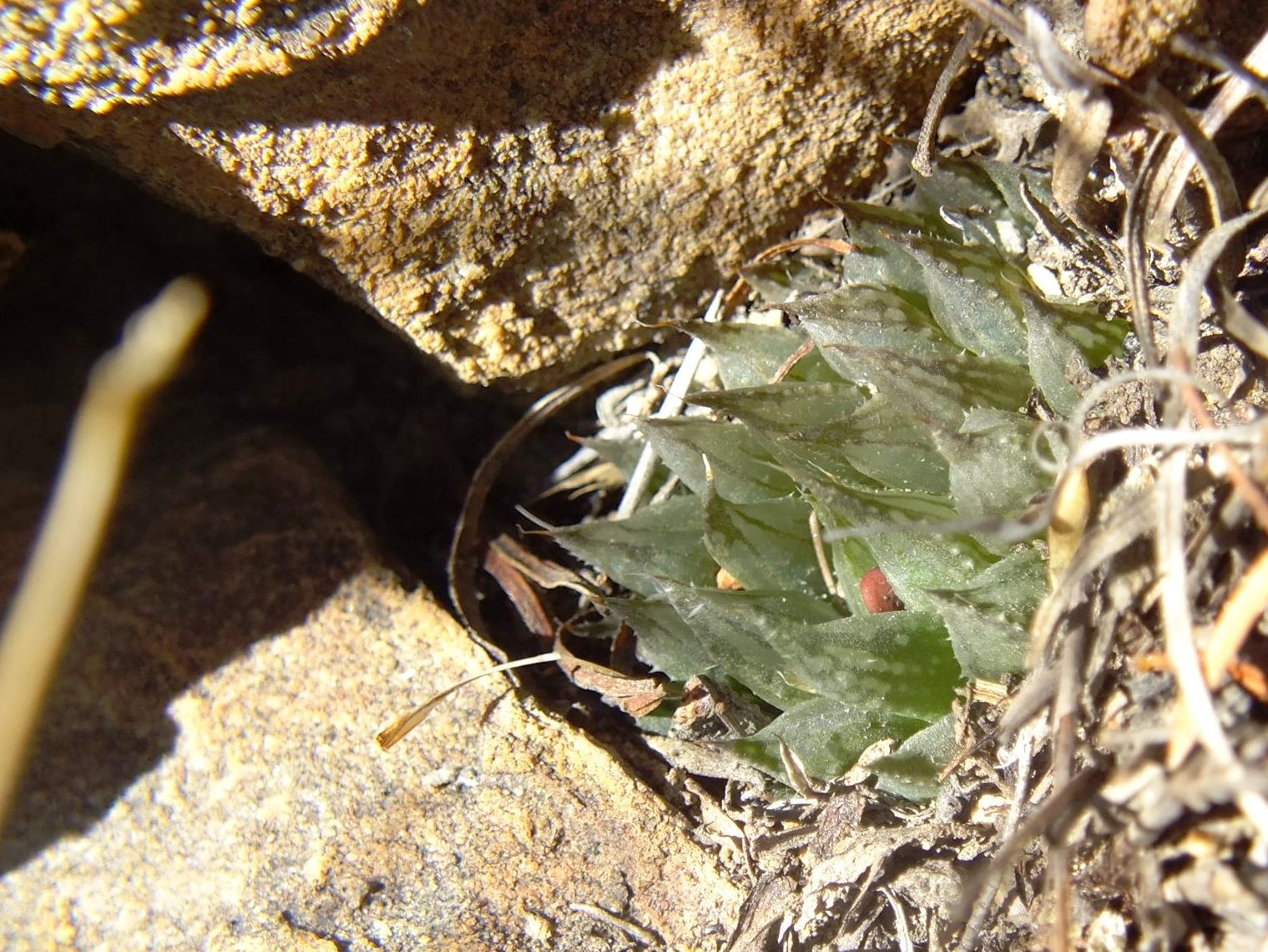
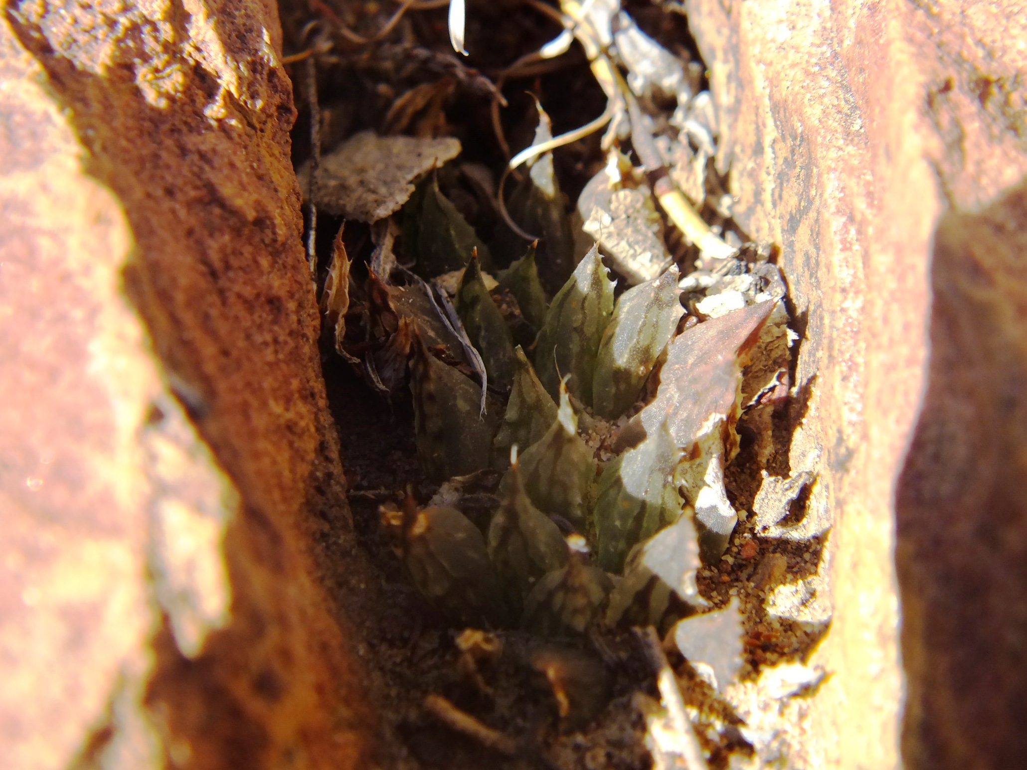
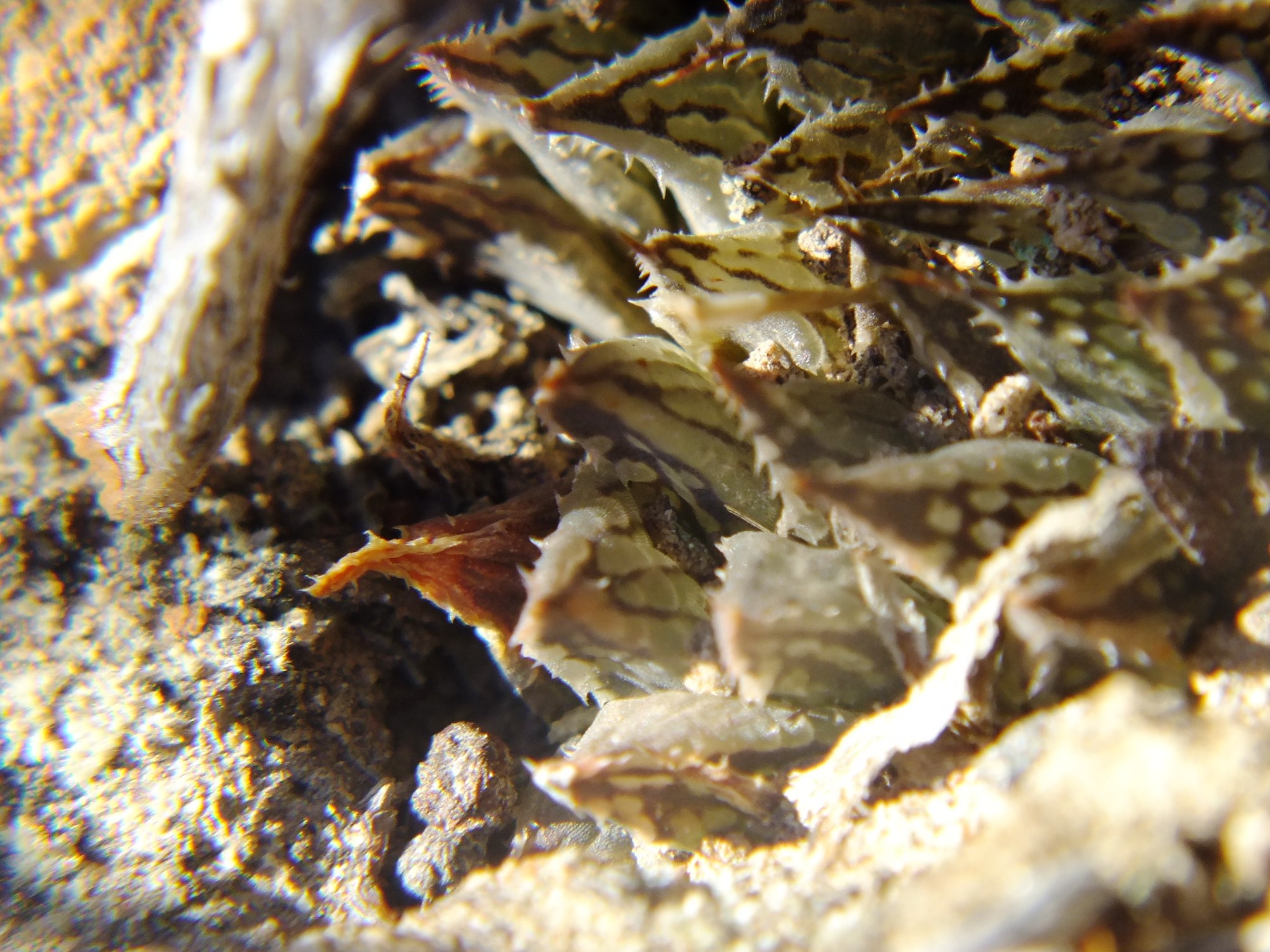
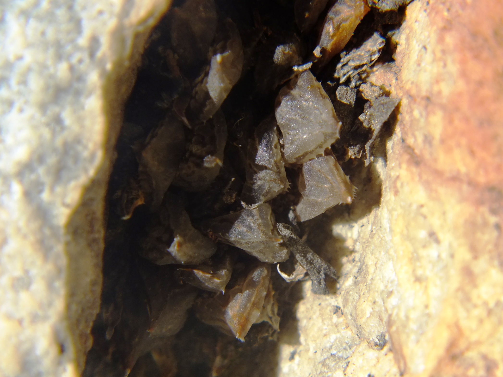
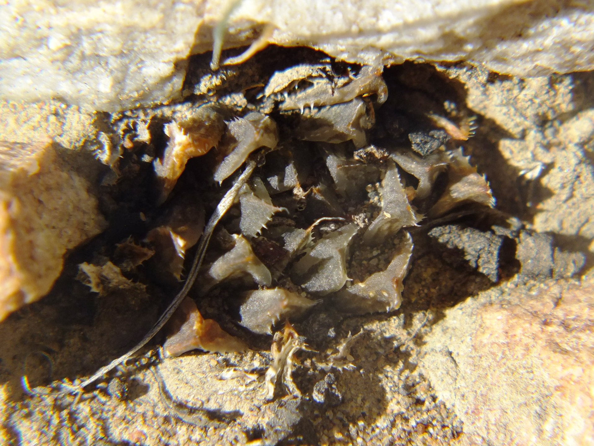
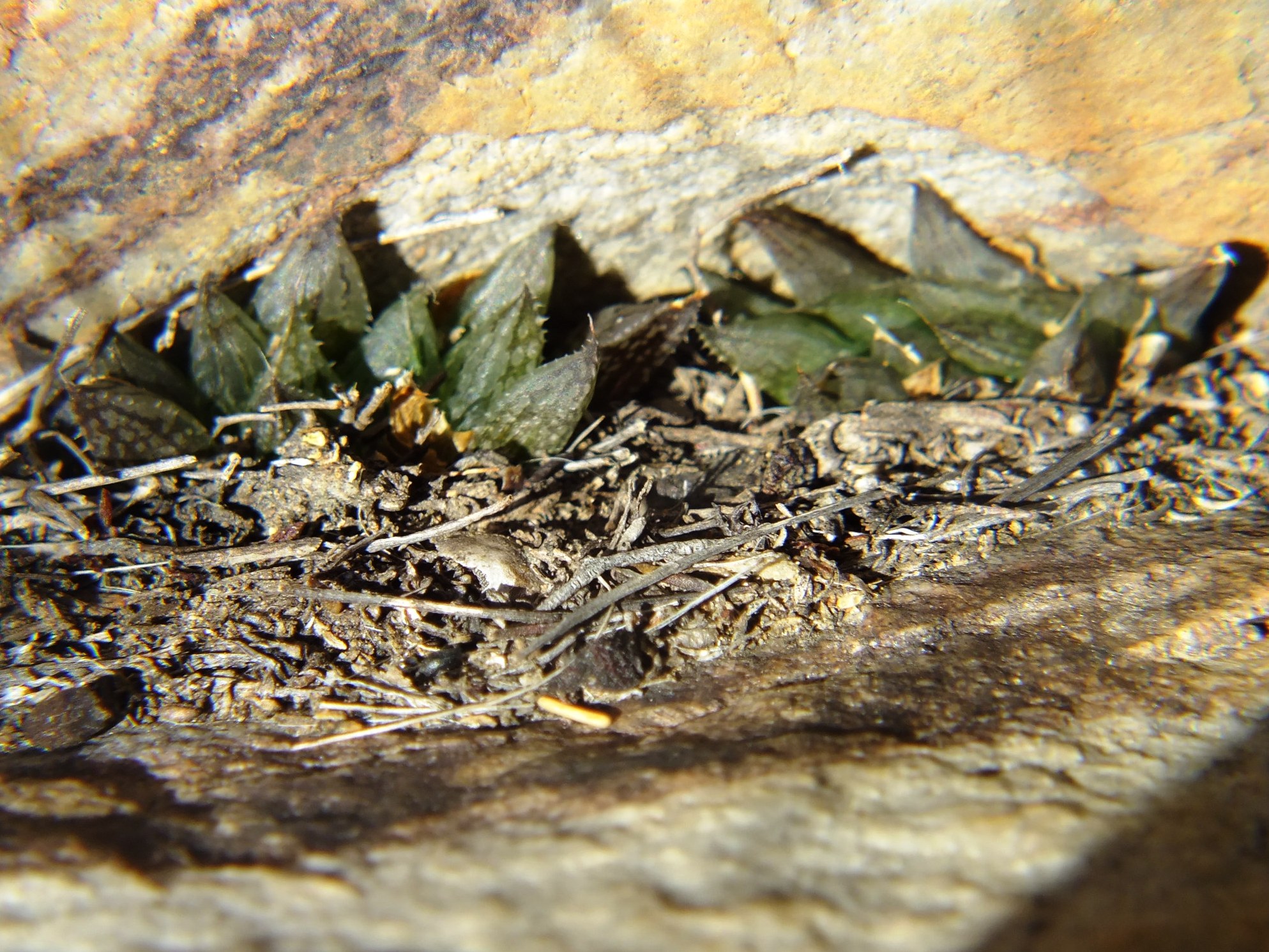
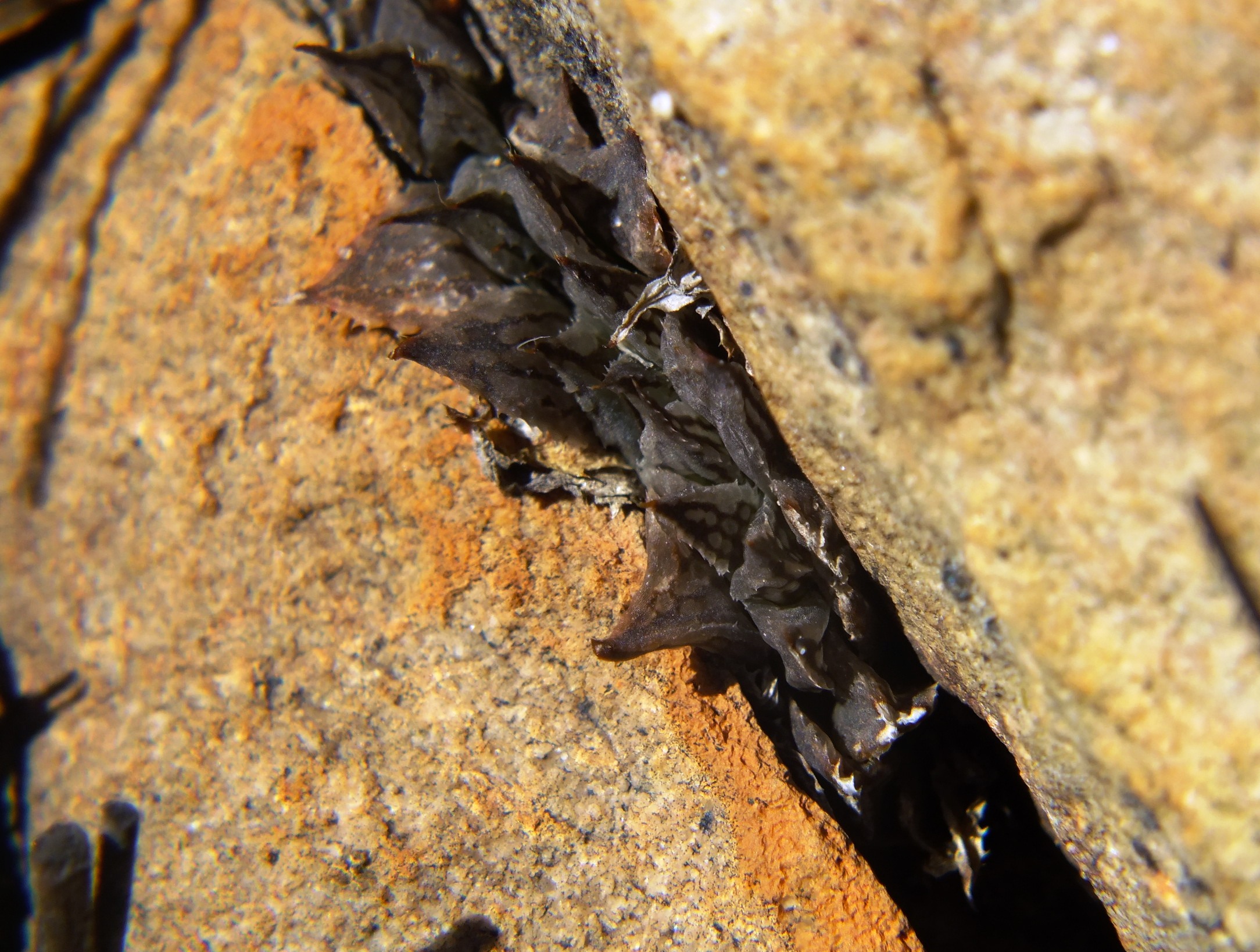
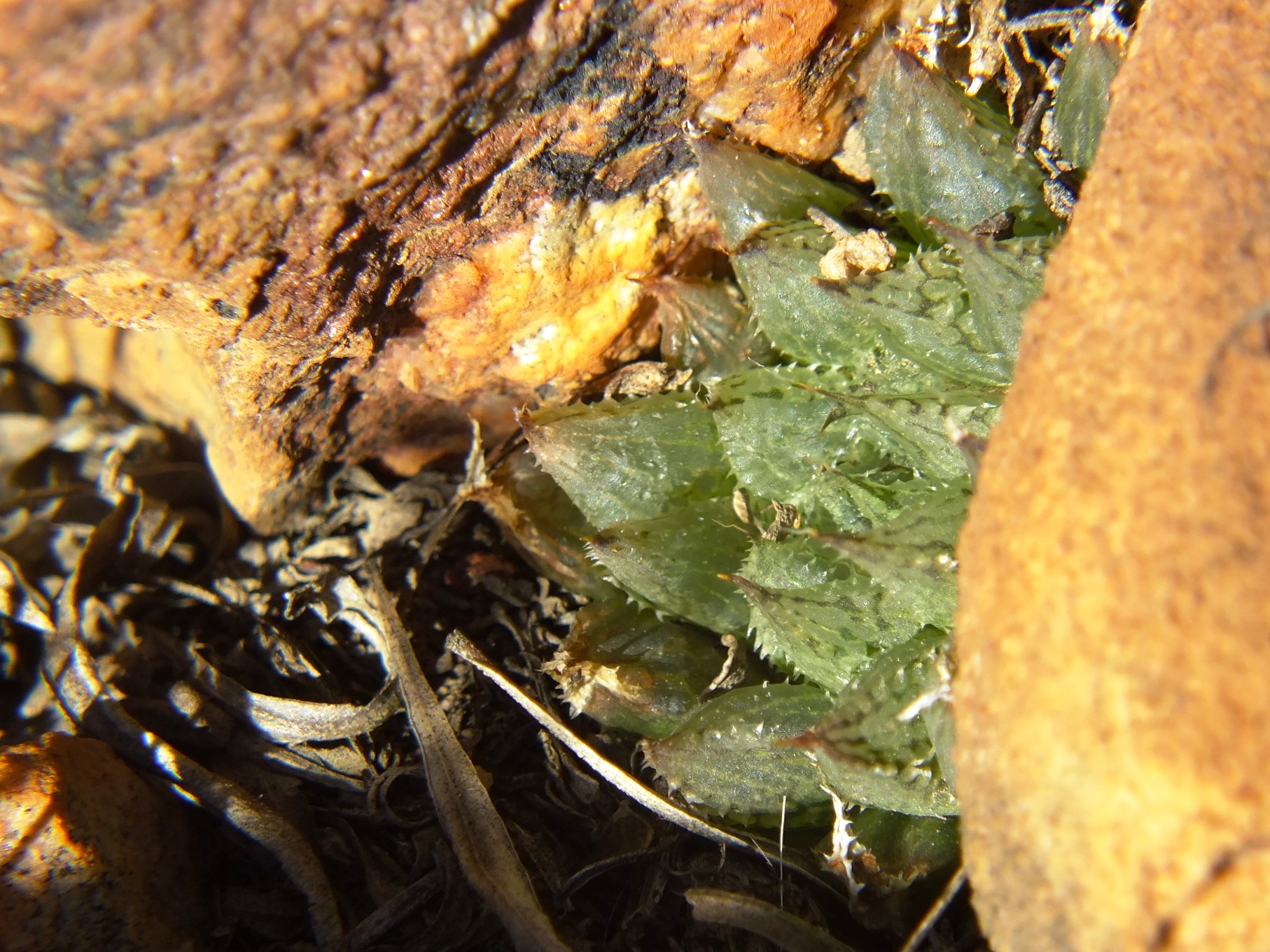
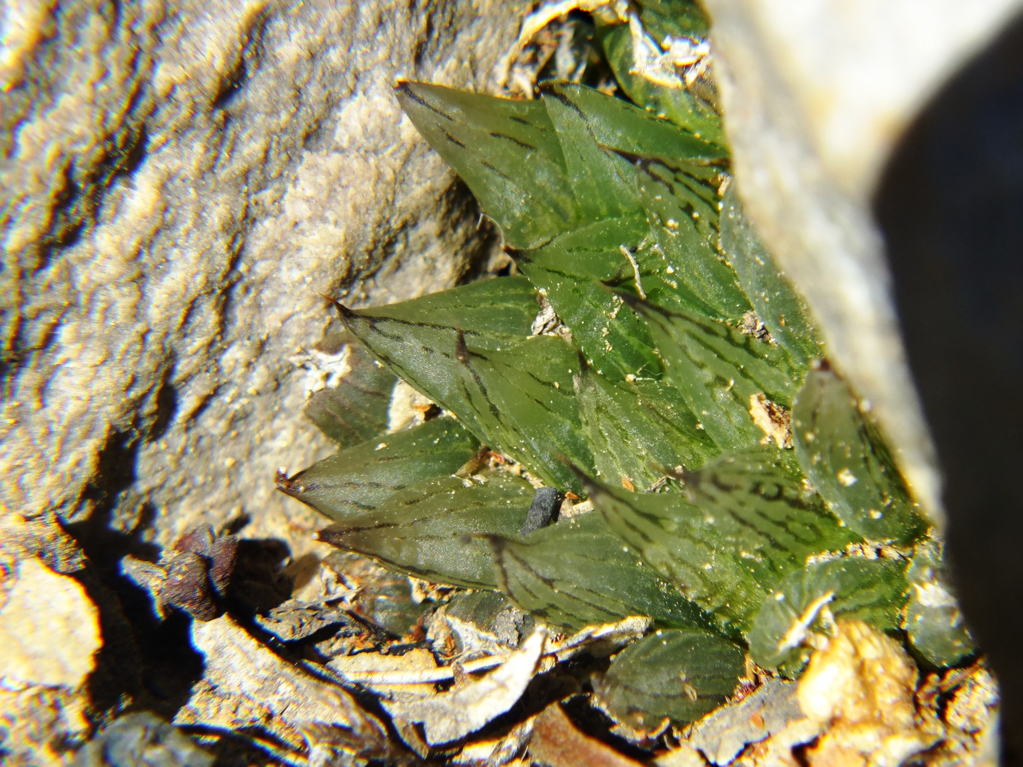
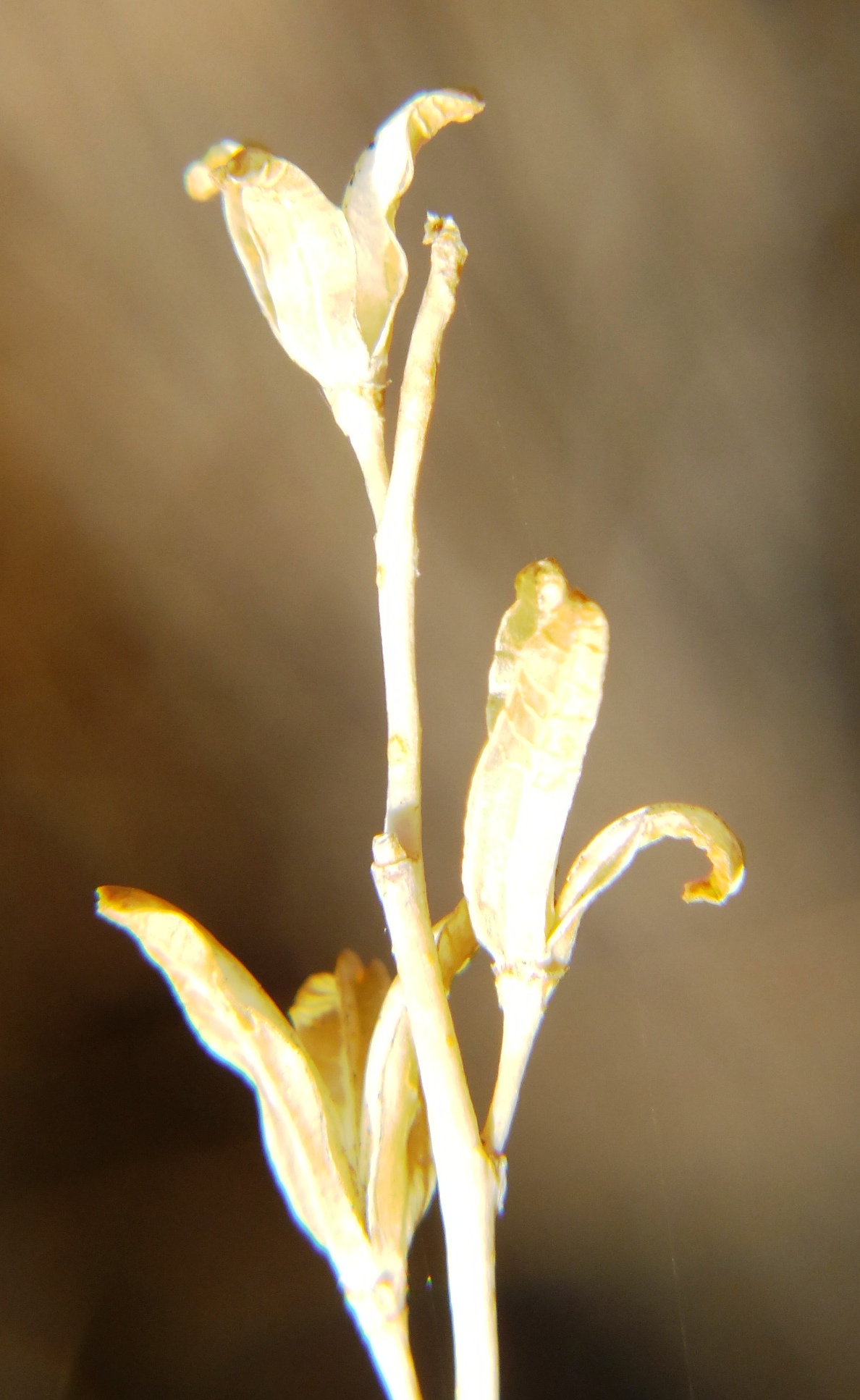
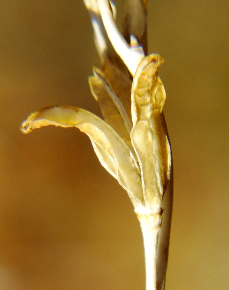
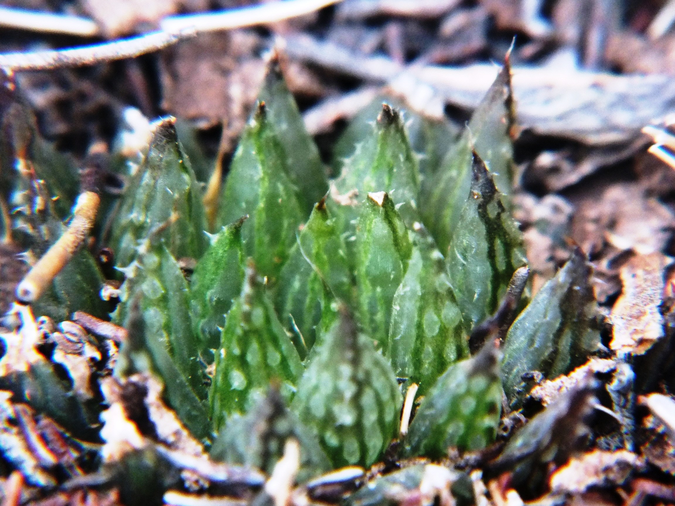
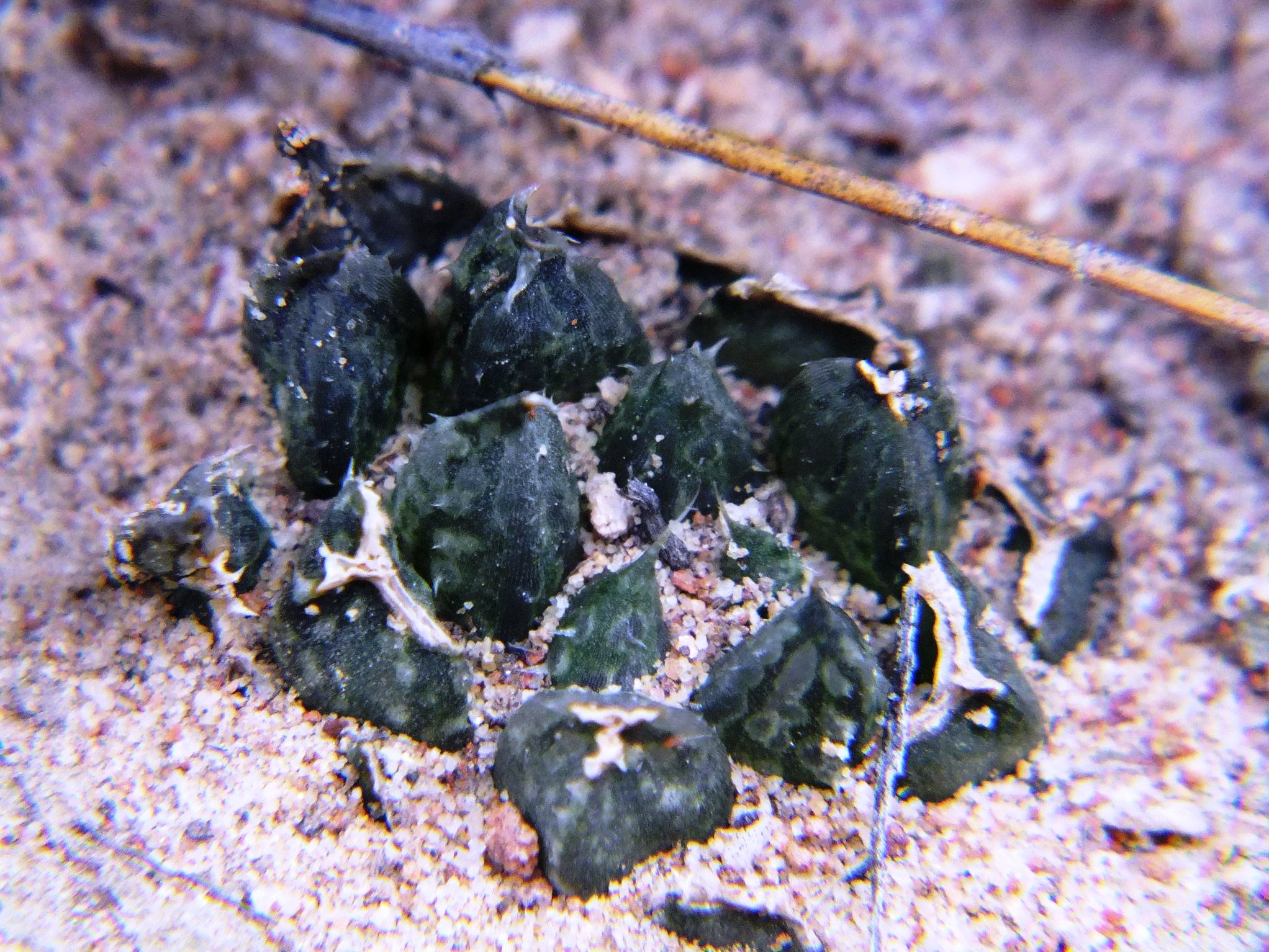
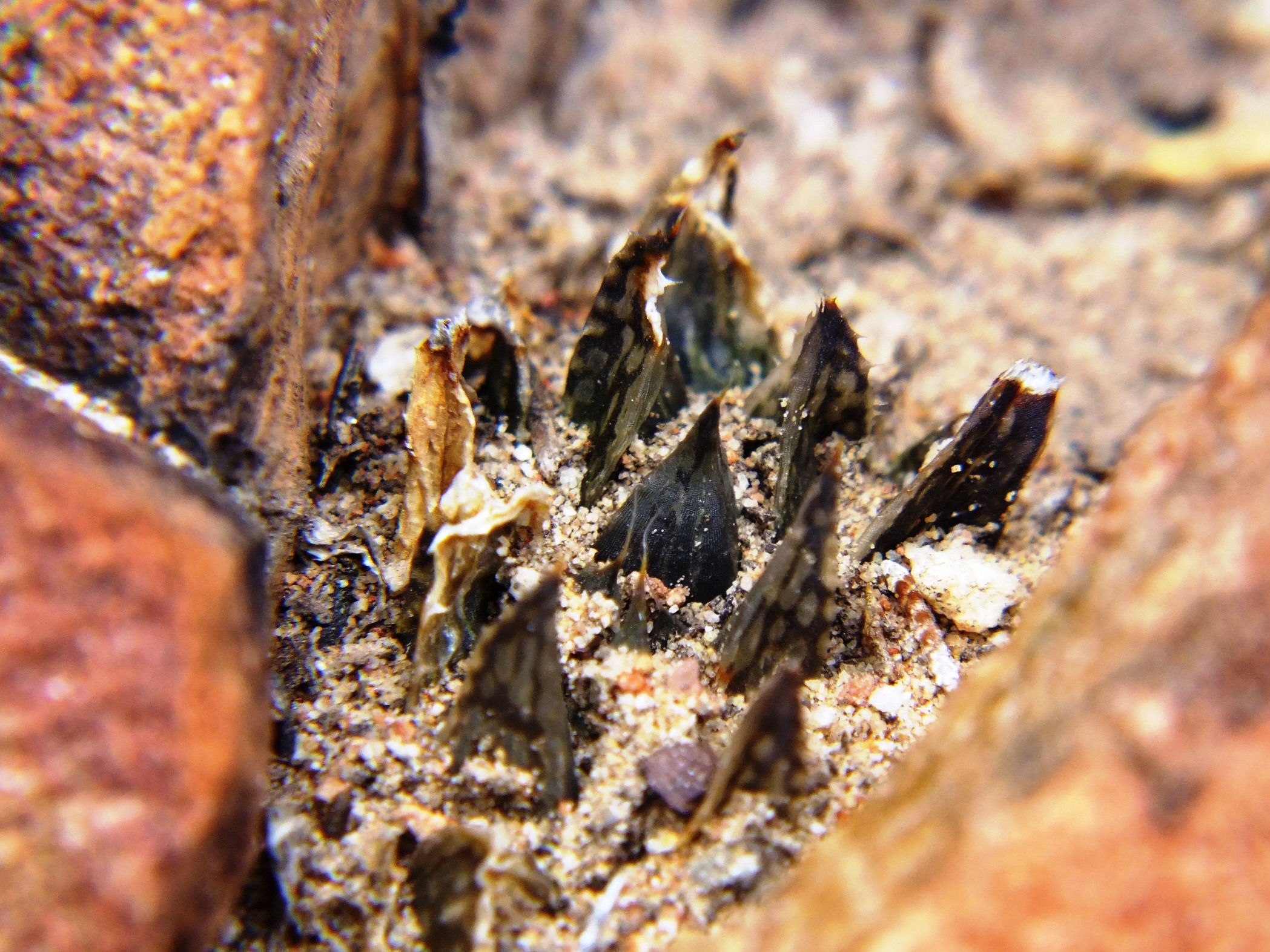
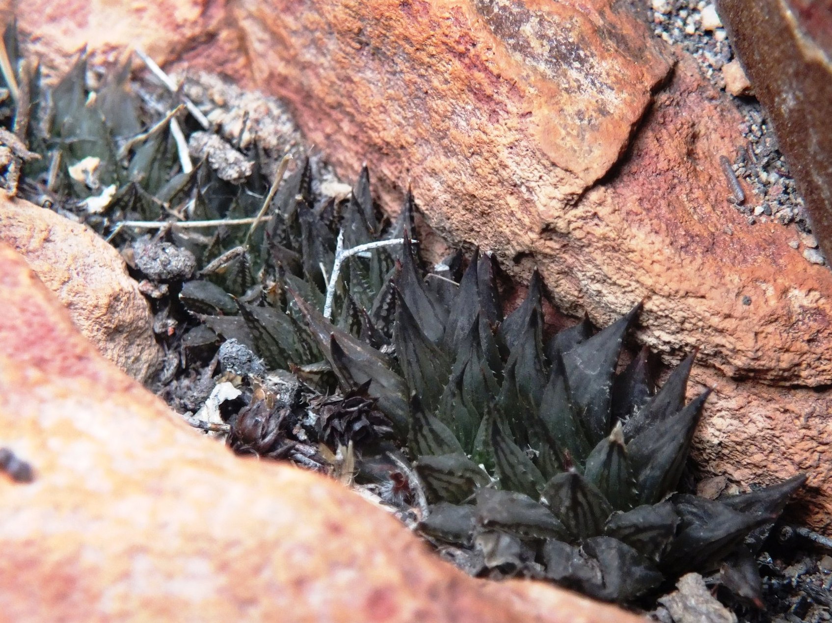
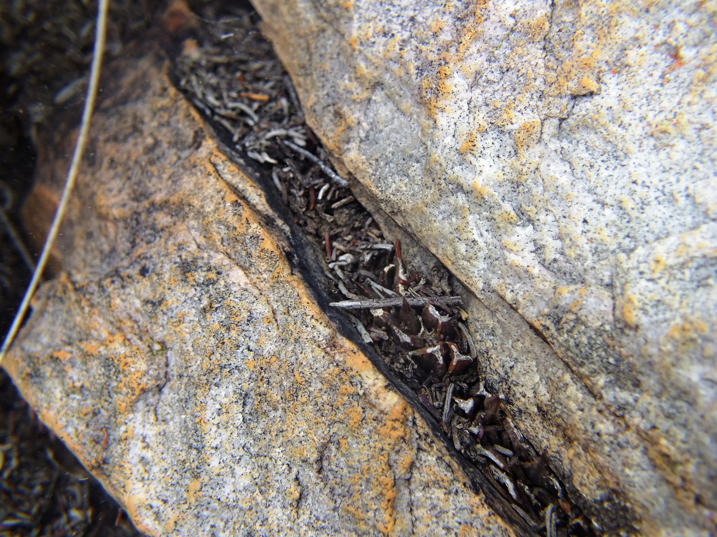
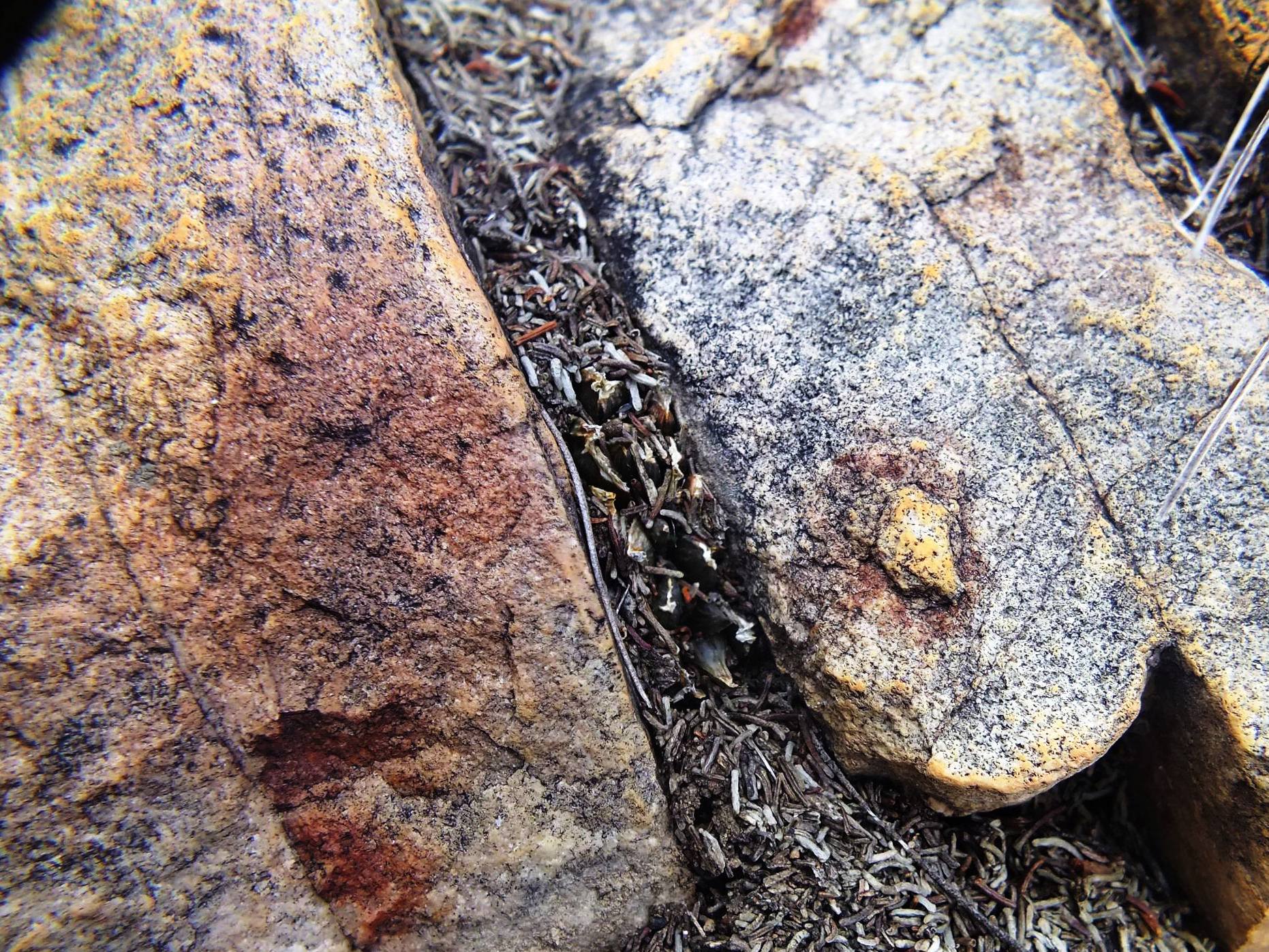
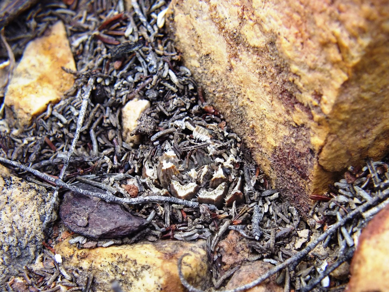
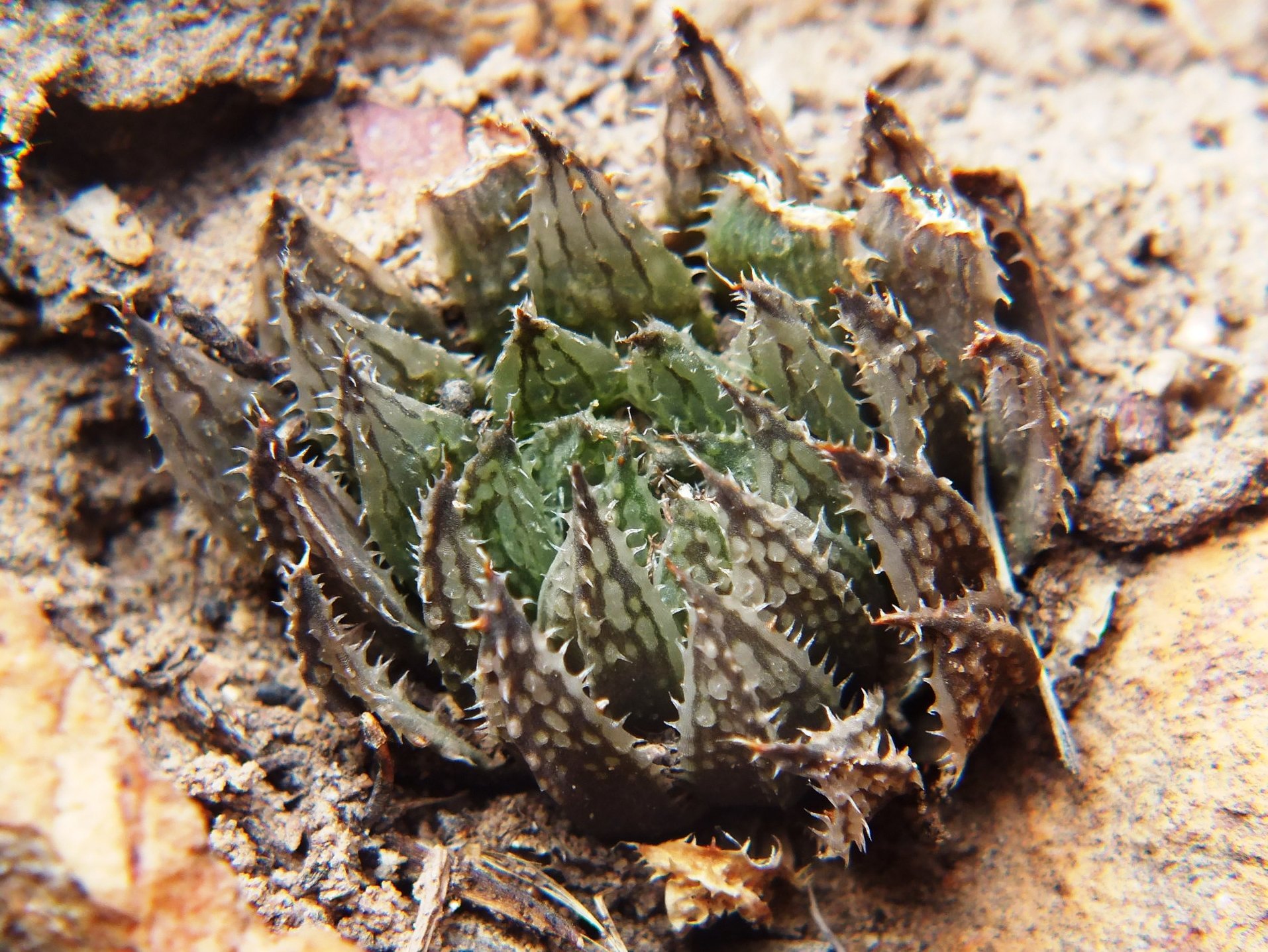
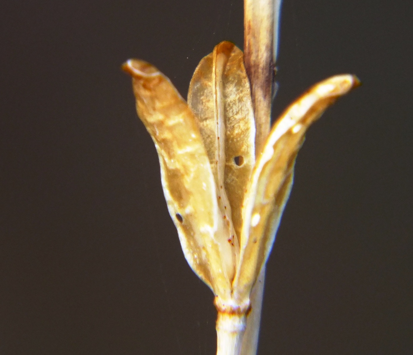
Figs. 3.1 to 3.34 MBB7066 H. maculata, Lemoenpoort.
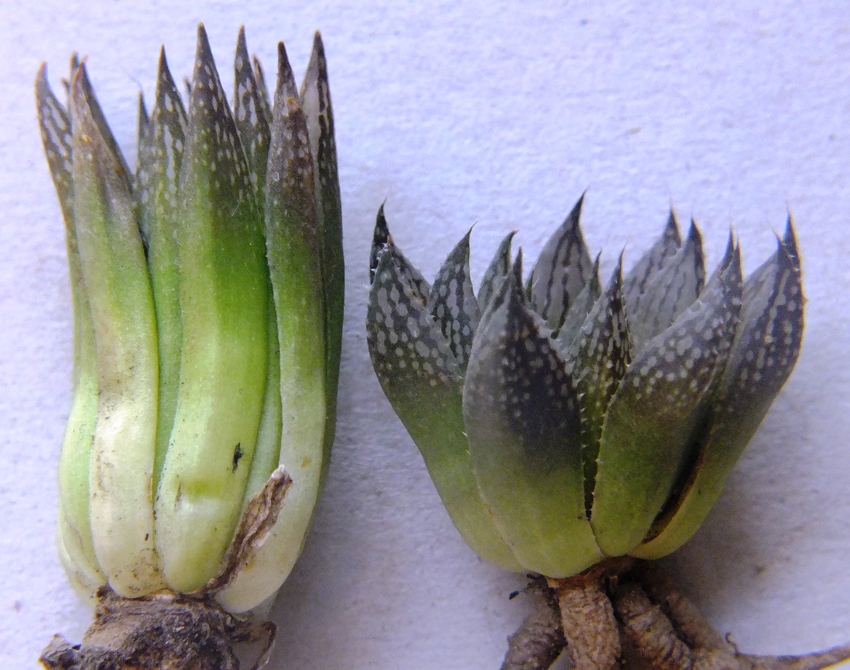
This is the type locality (i.e. MBB1128, W. Lemoenpoort) for H. maculata var. livida that I think is largely untenable or unnecessary fragmentation. Lemoenpoort is the valley that separates Hammansberg from Ouhangsberg. The first few plants seen were in exposed situations and had the purplish or bluish-grey colour that prompted the Latin name. This was maintained in cultivation. I linked it at the time to H. pubescens that seemed more probable at the time than to H. maculata and then simply because of the perceived demands of a relatively inflexible nomenclatural system. There are now seven new populations that contribute and improve understanding of H. maculata as a species. All these localities are in Witteberg Sandstone and the type locality is only slightly different in that the stratum of rock is less feldspathic (i.e. mineralized).

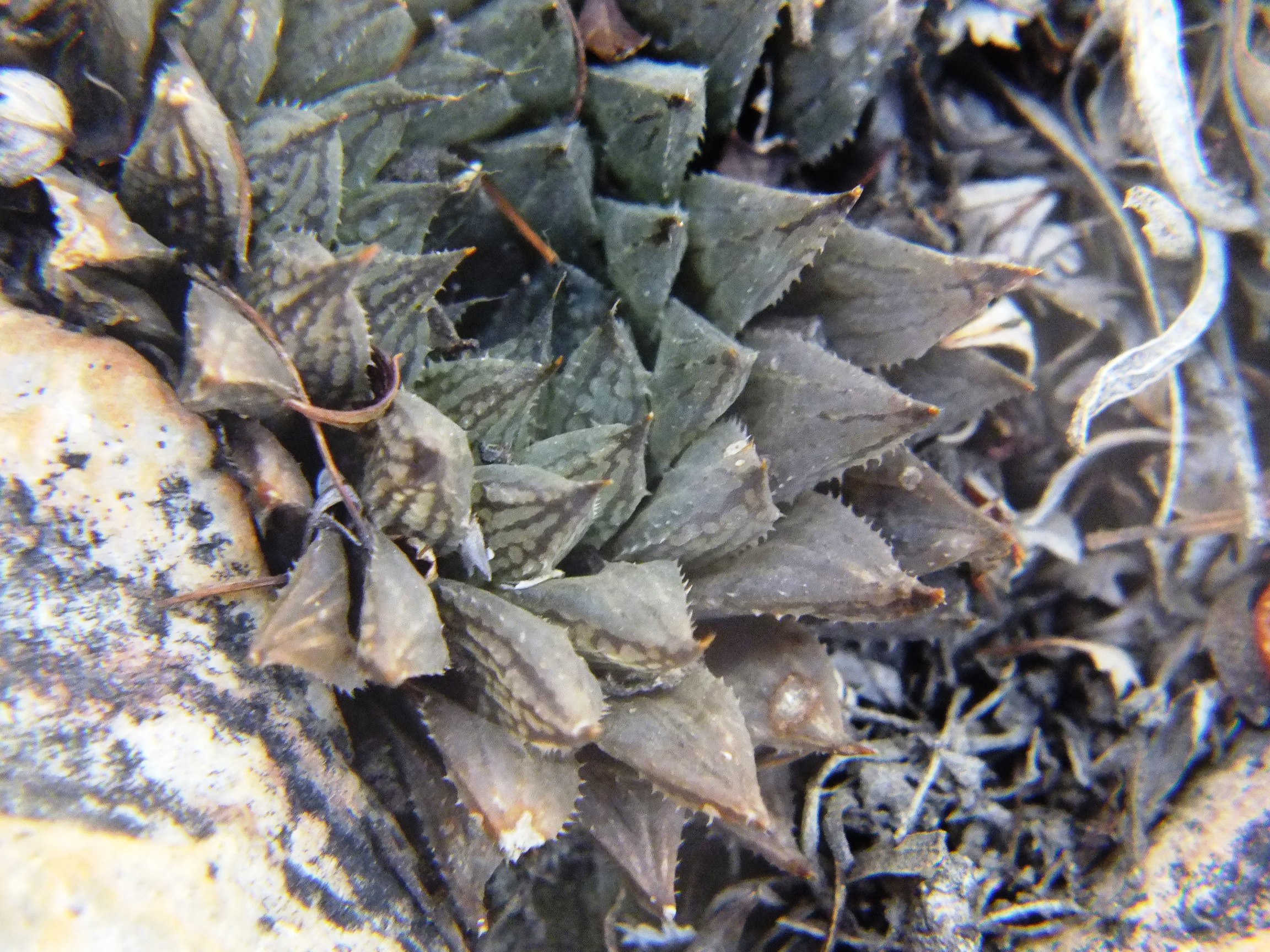
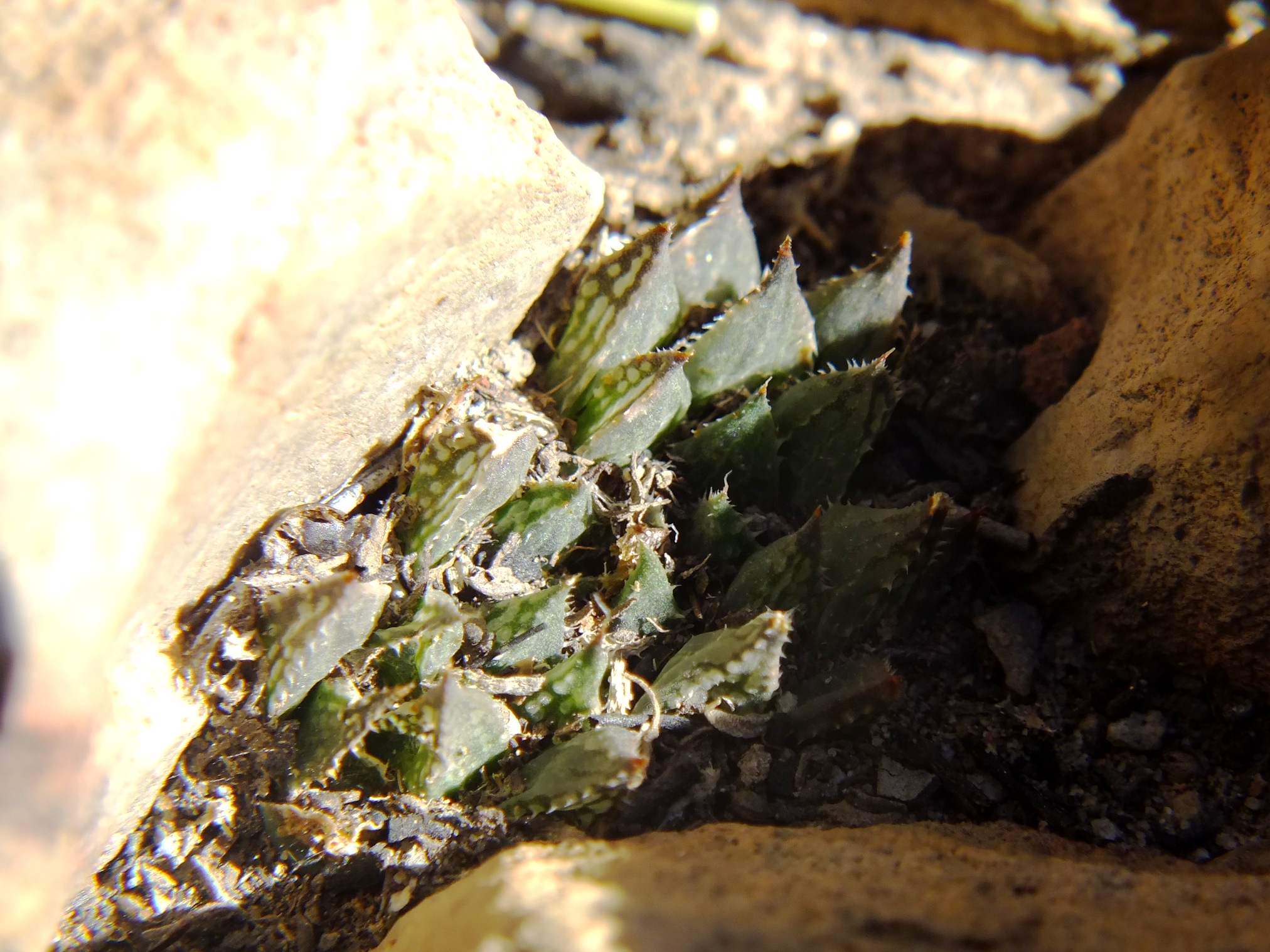
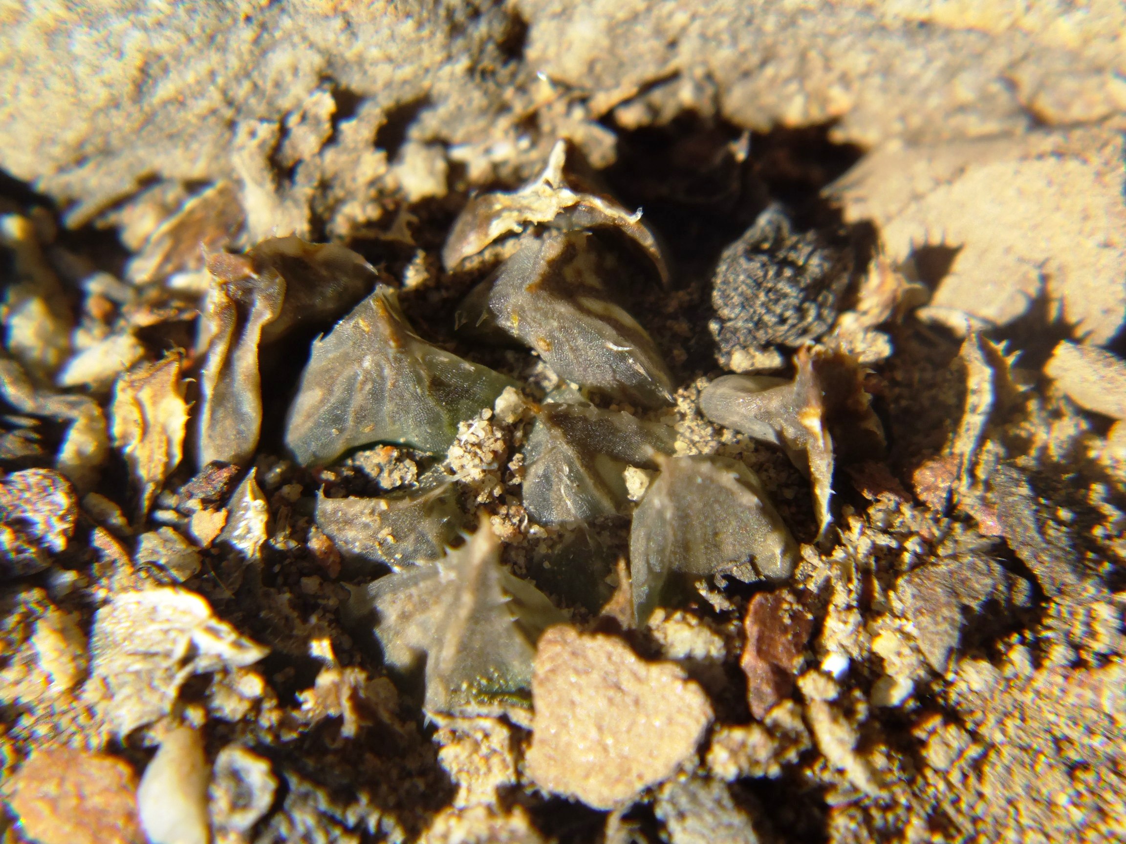
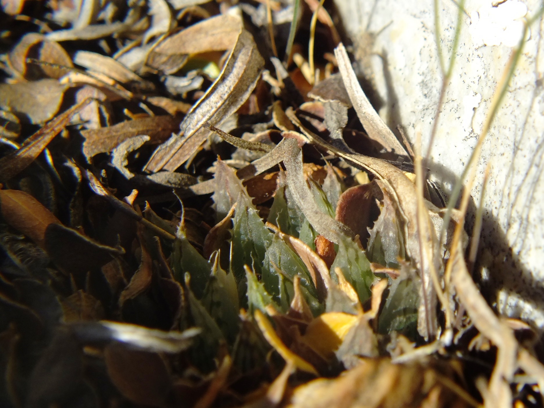
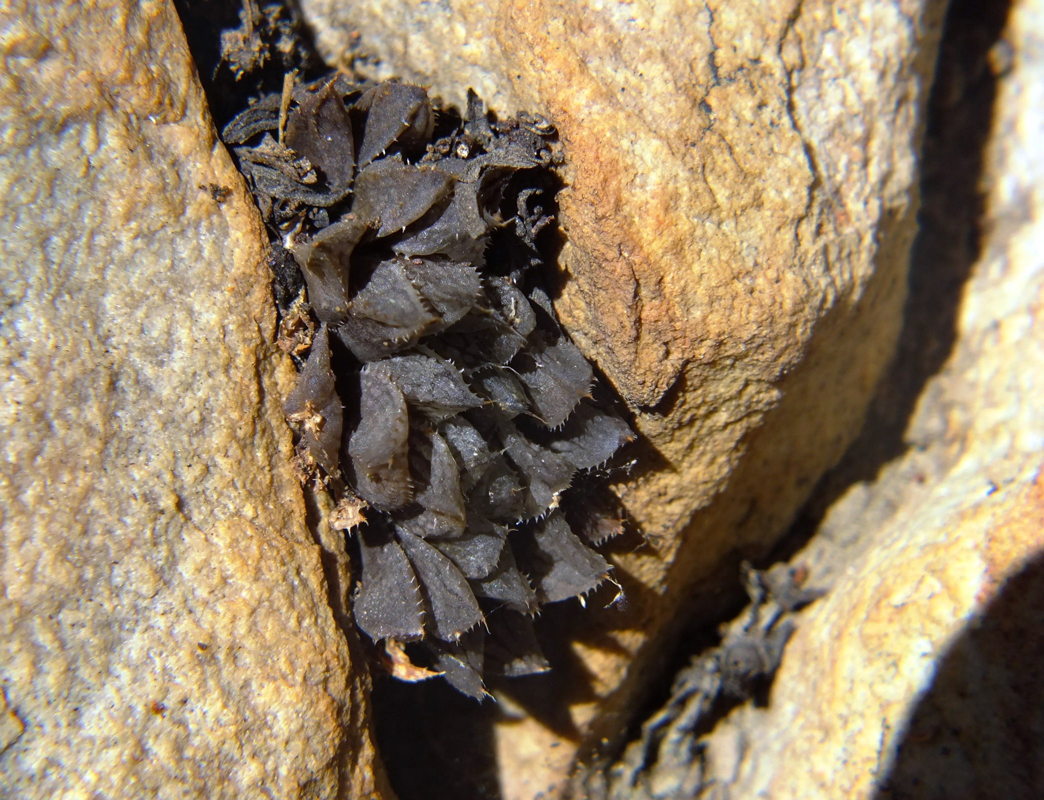
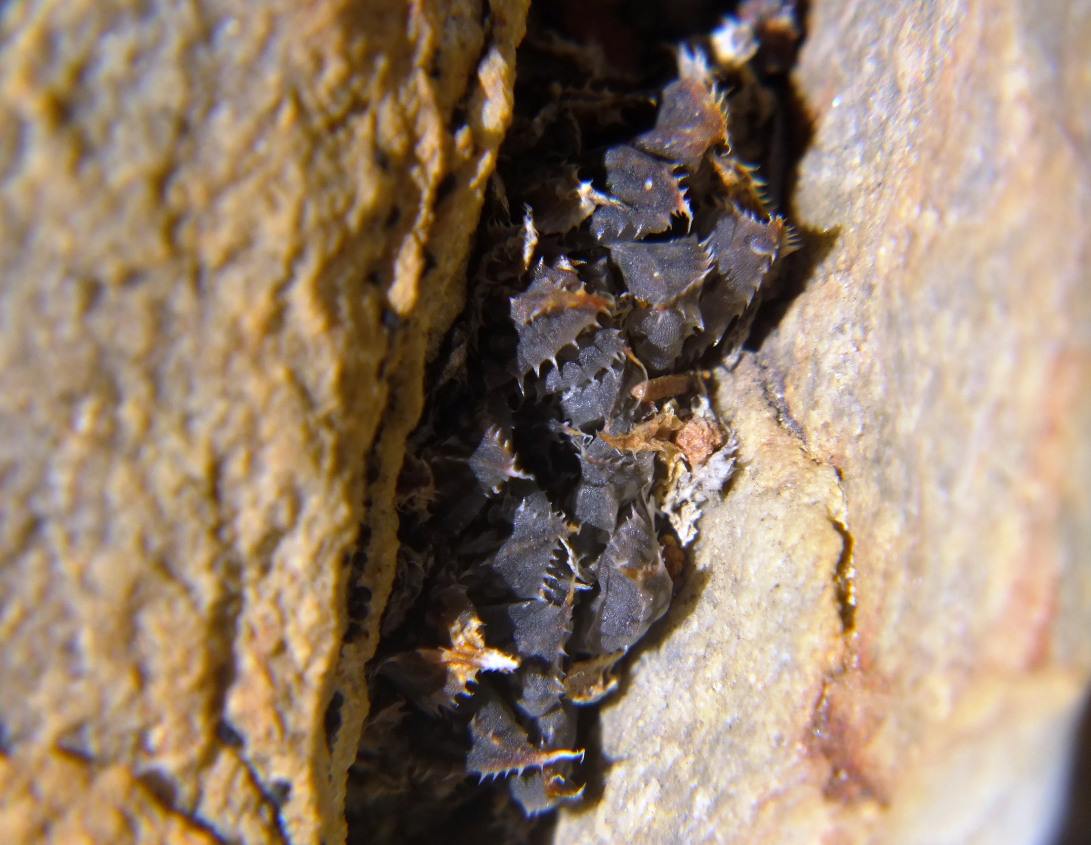
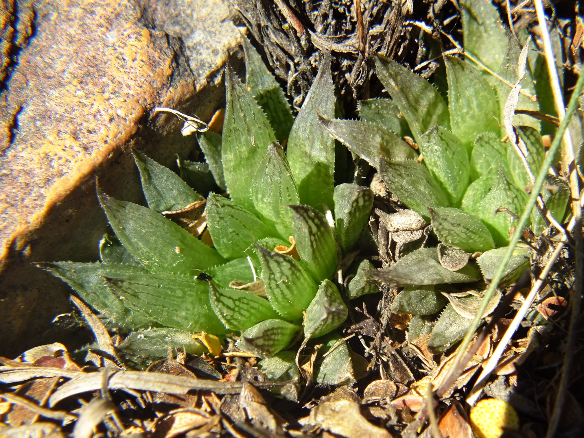
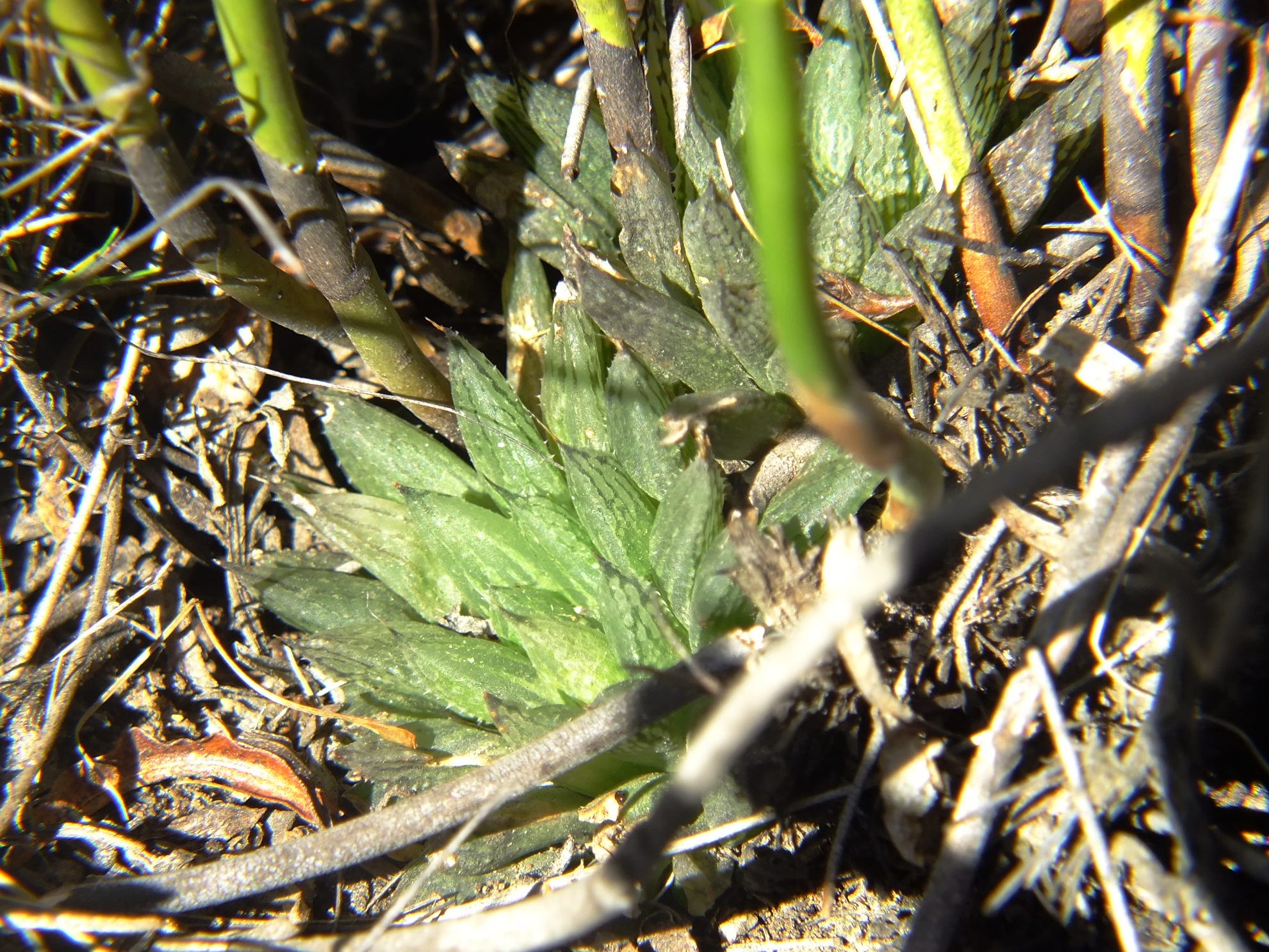
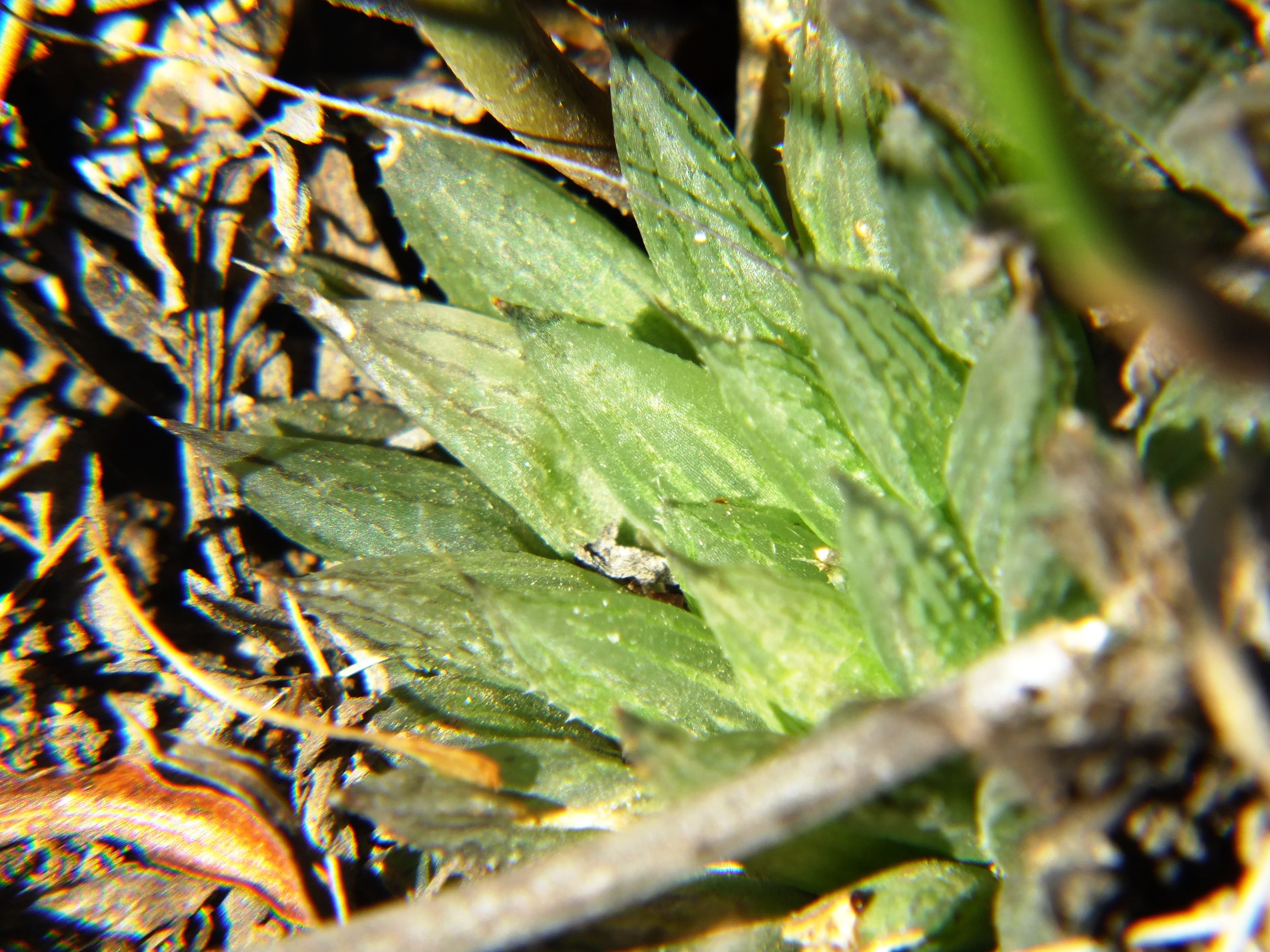
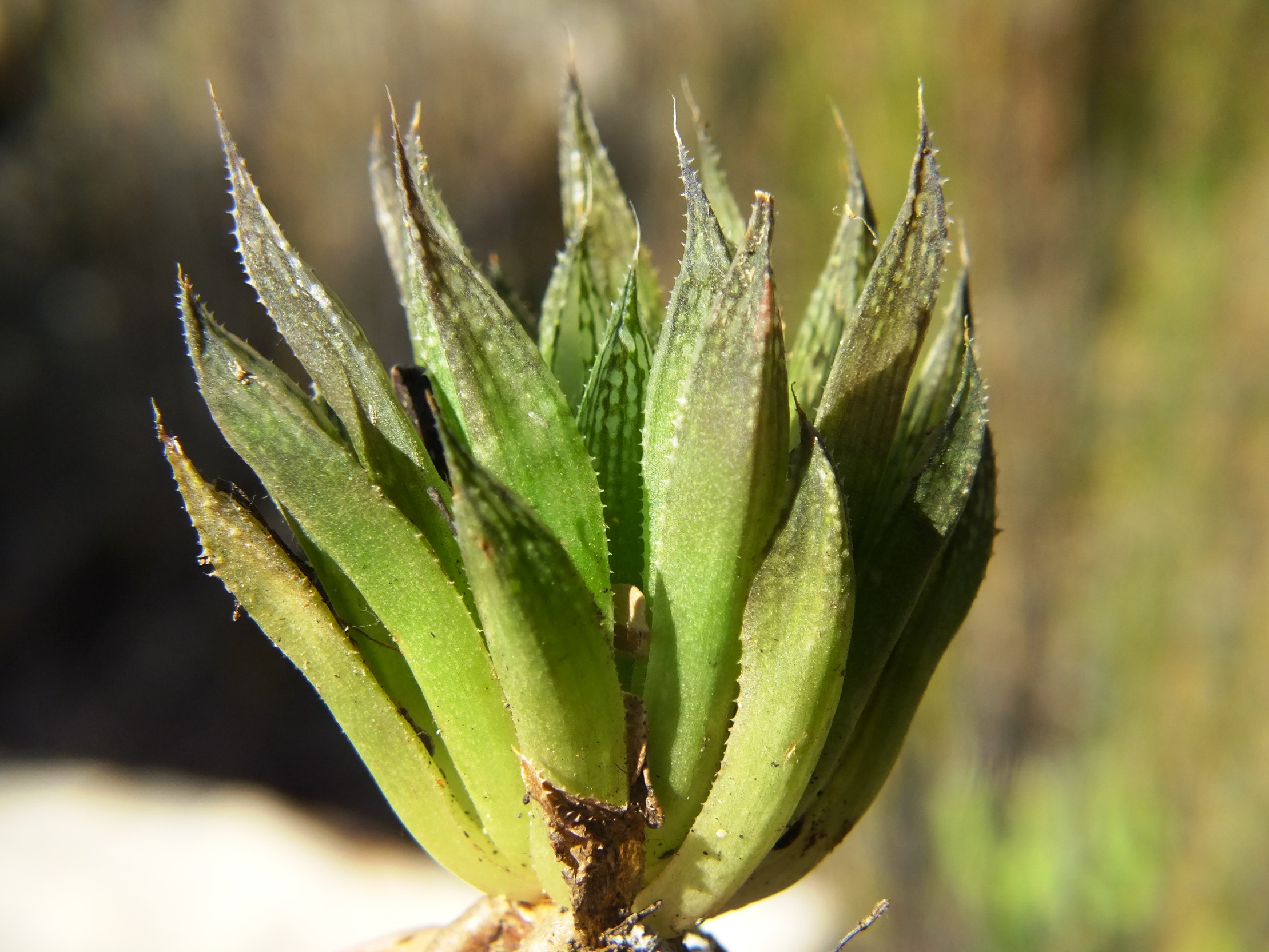
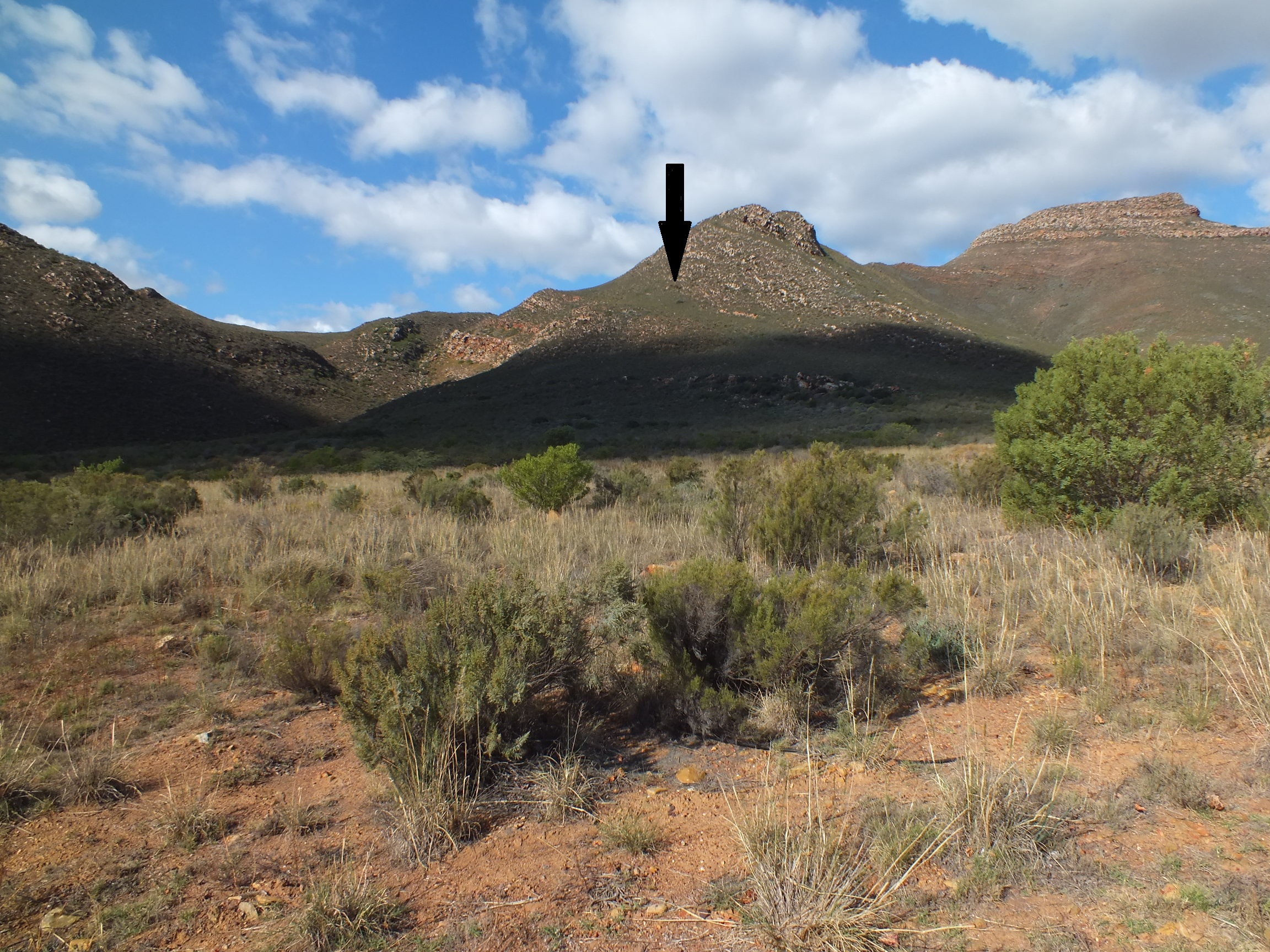
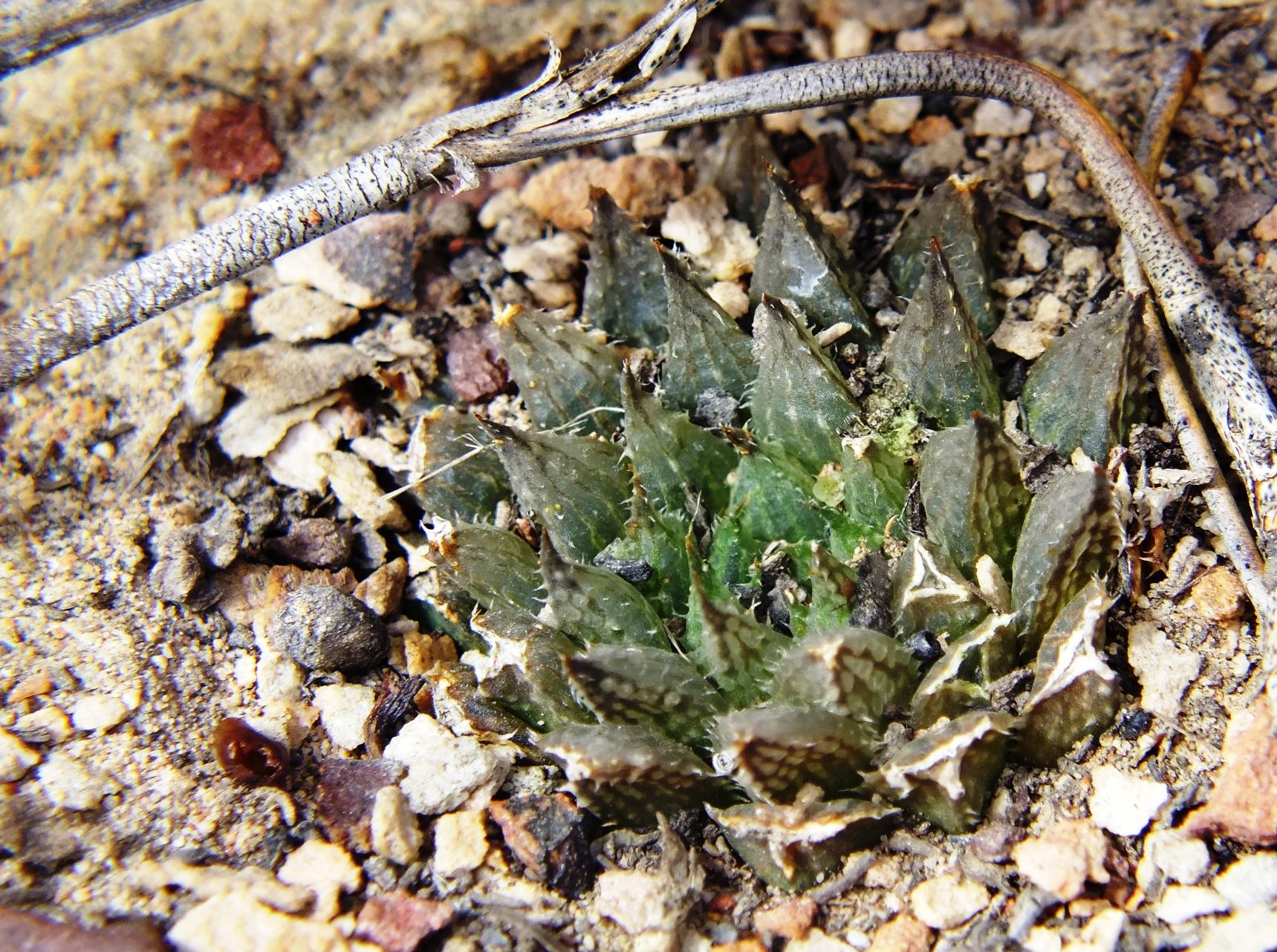
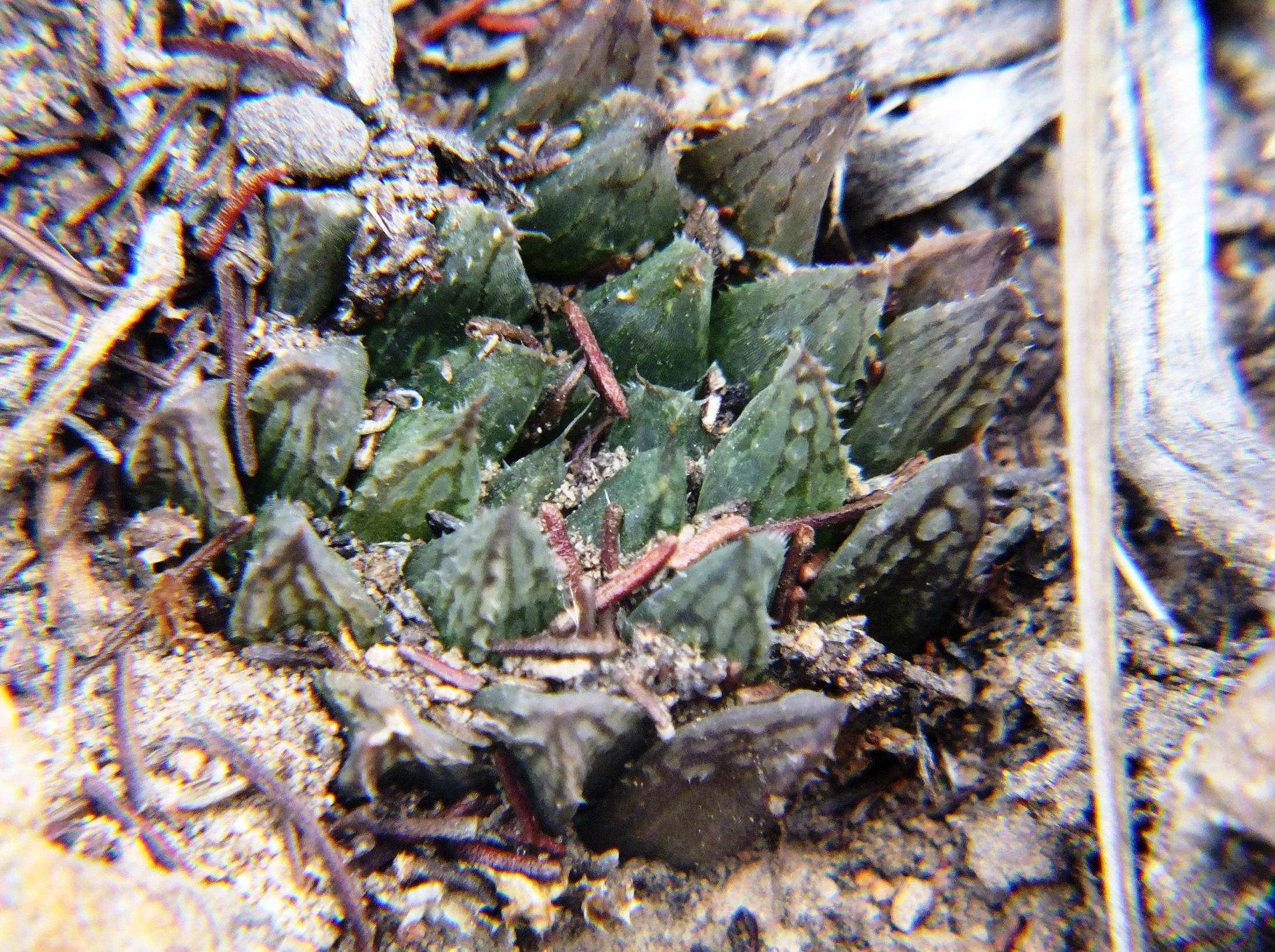
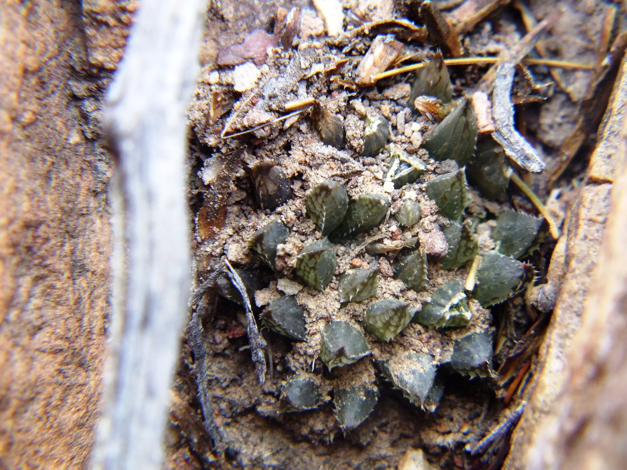
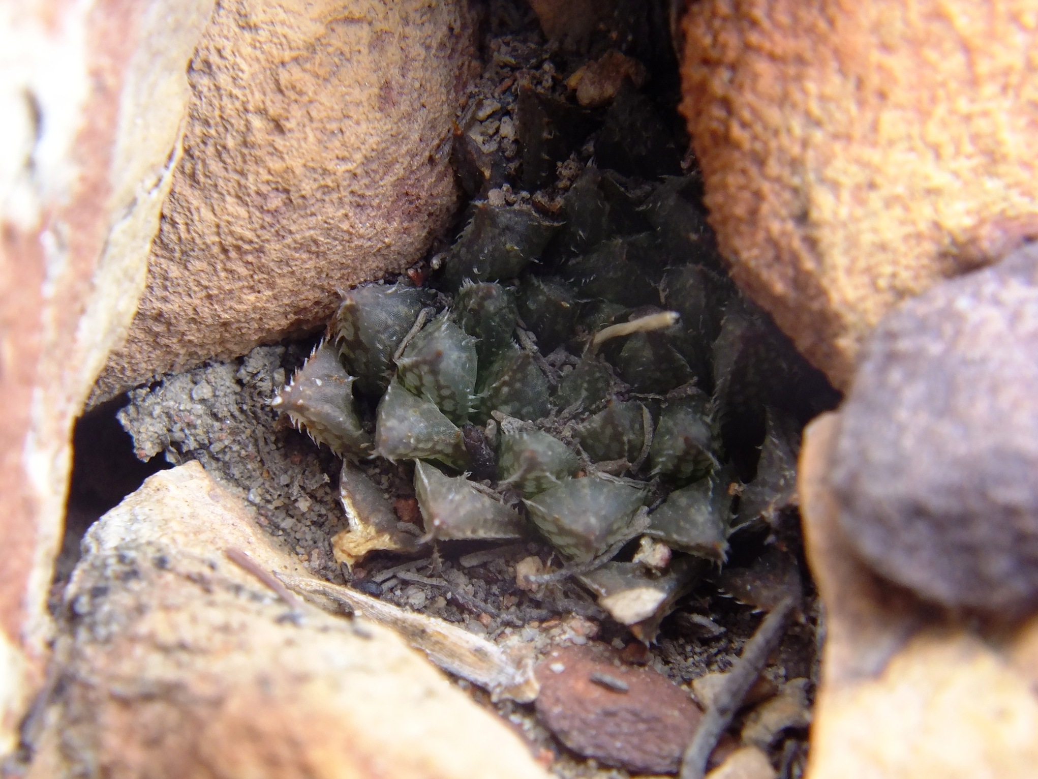
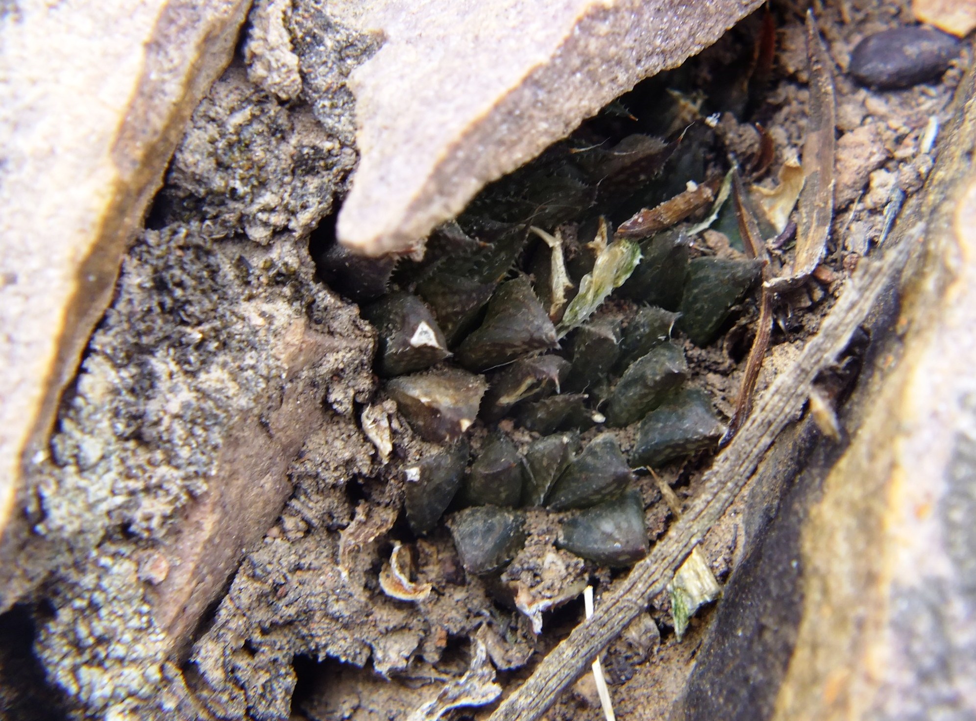
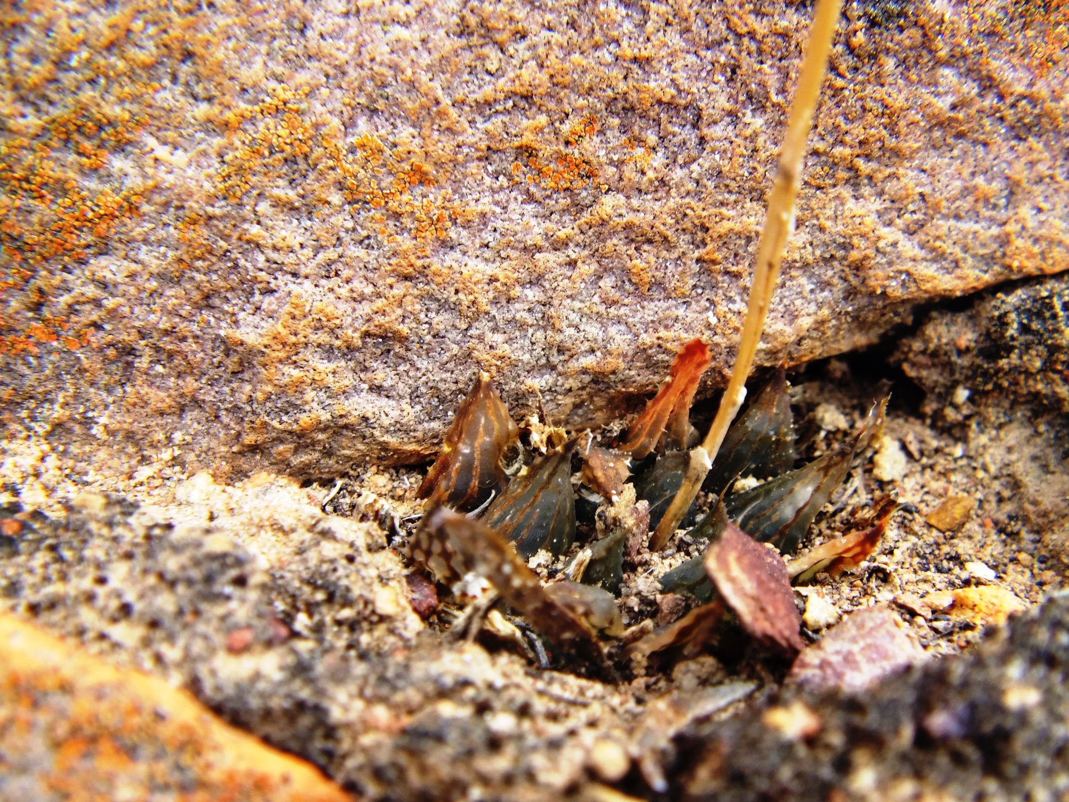
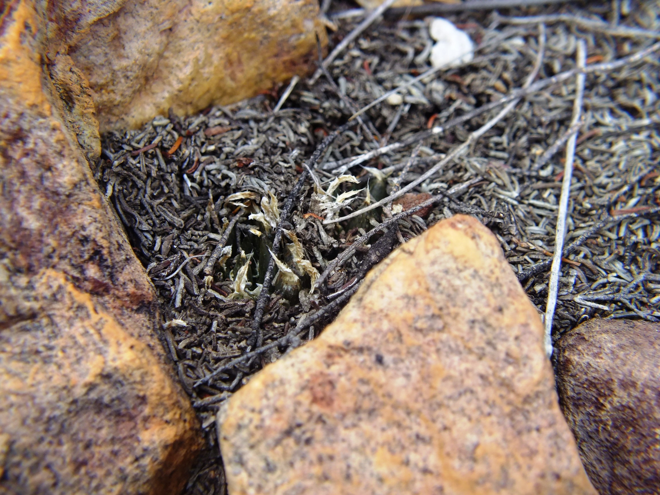
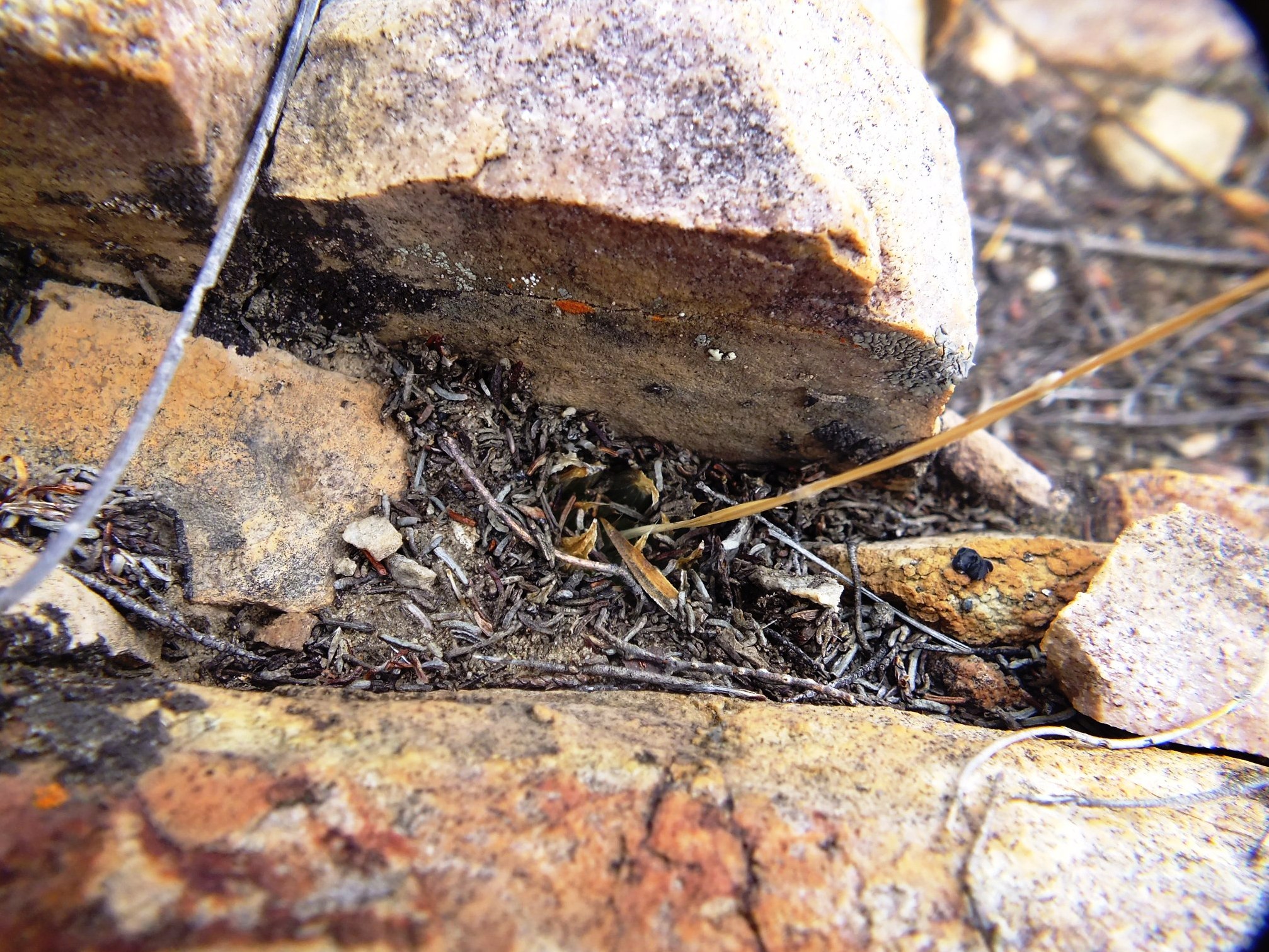
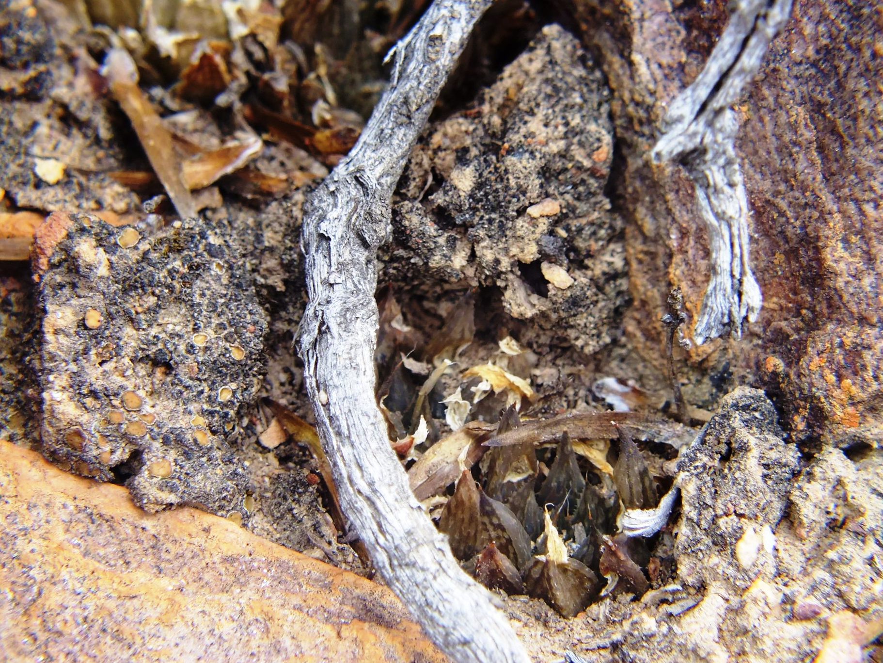
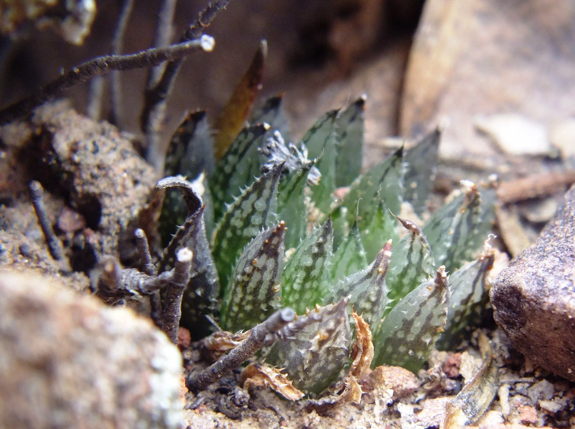
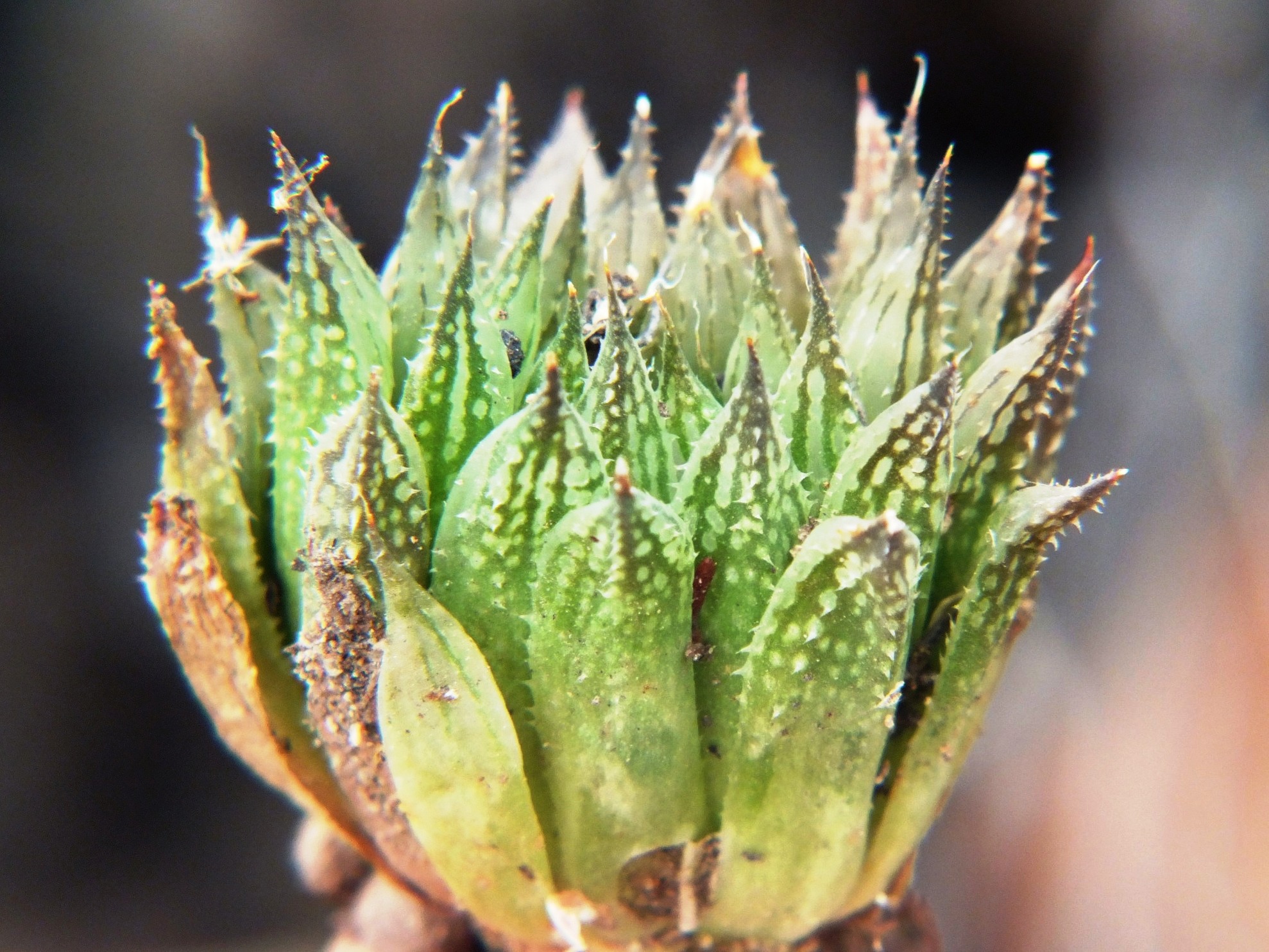
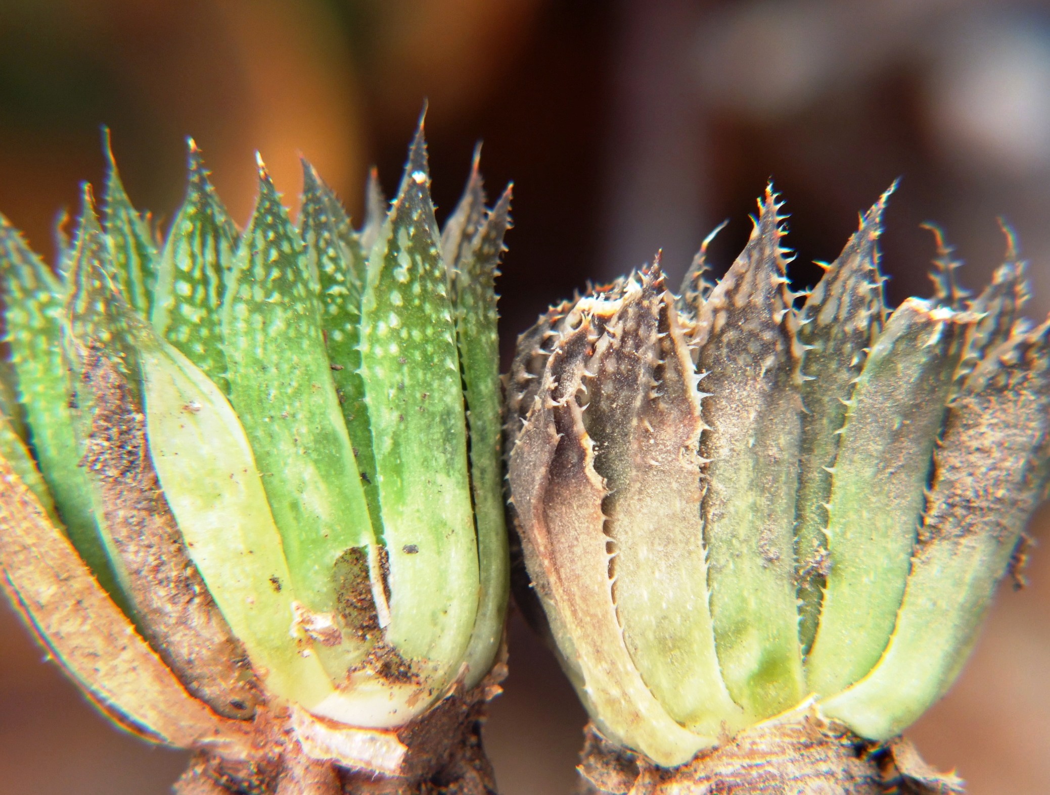
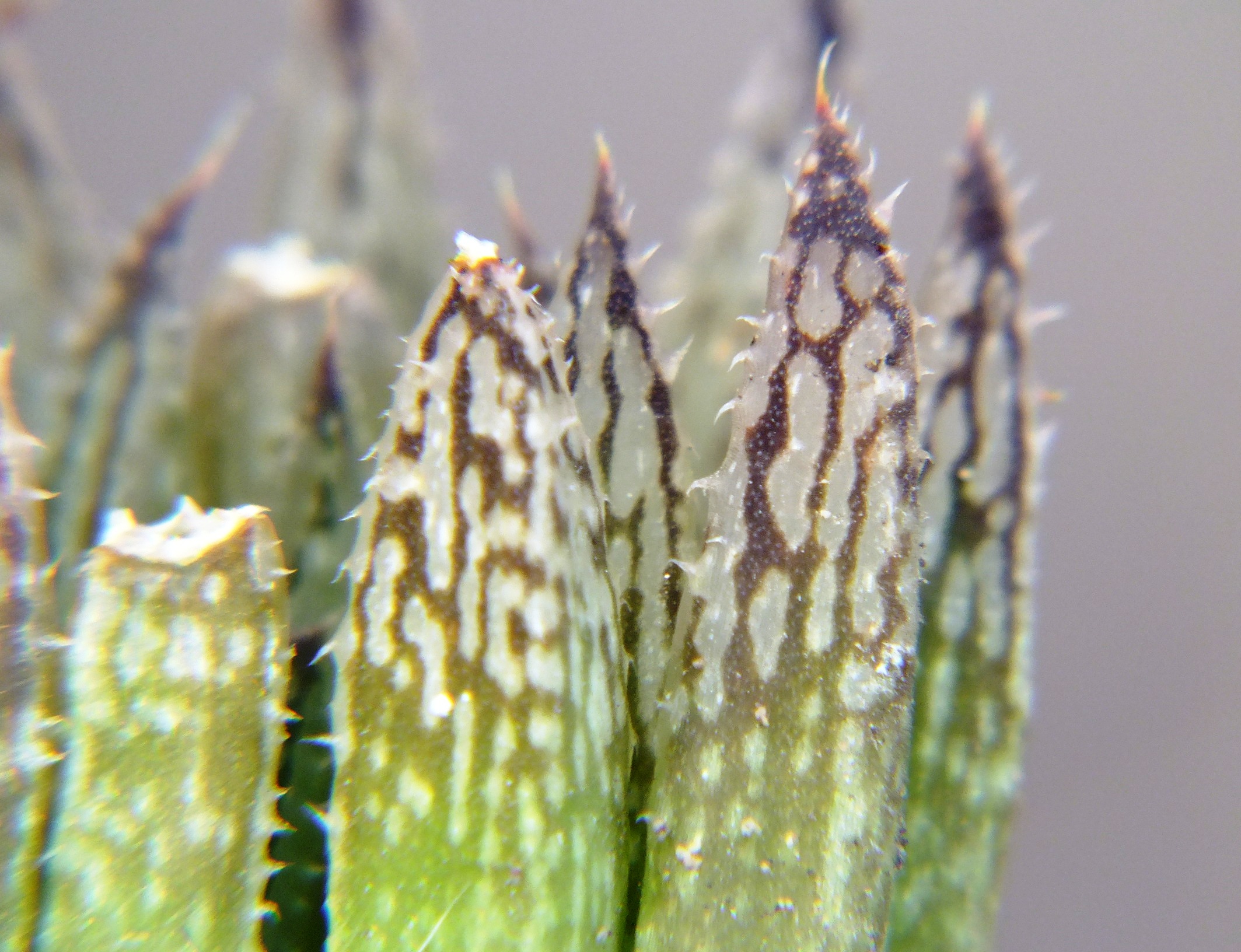
Set 4. Map point 10. SE Lemoenpoort
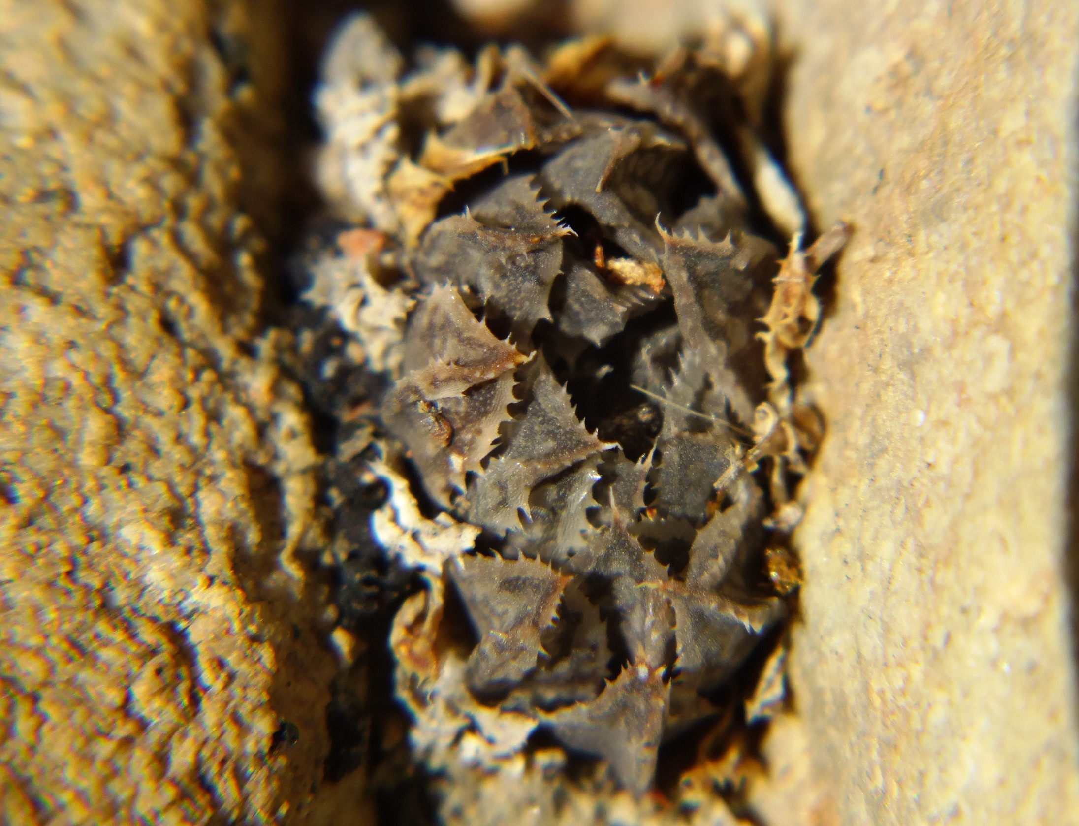
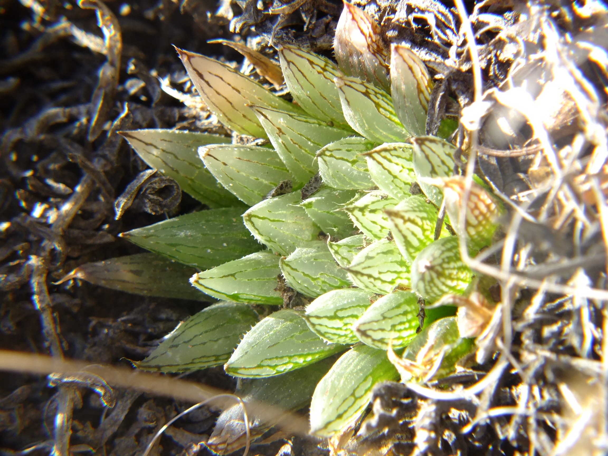
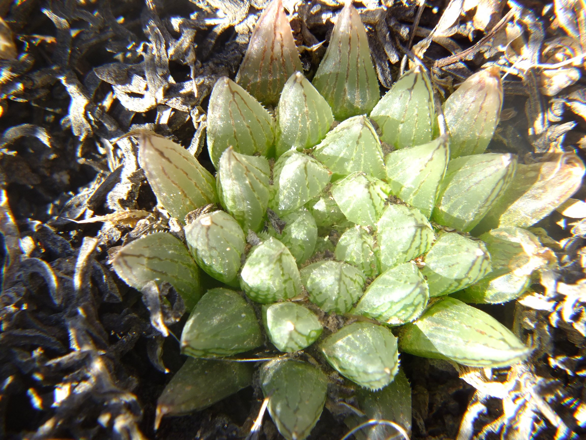
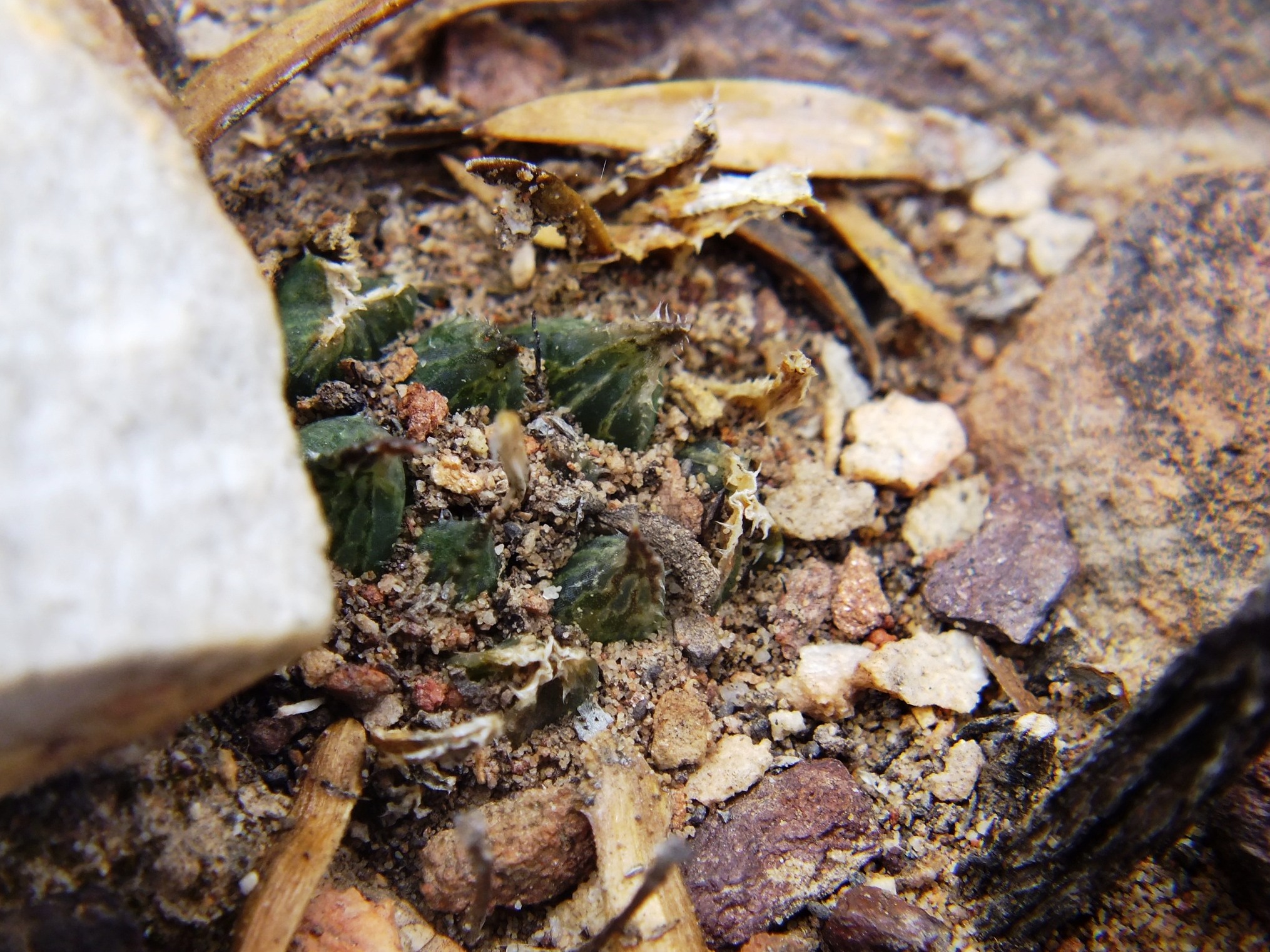
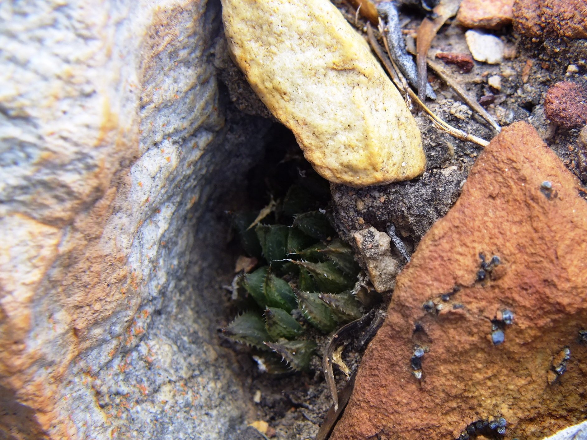
Figs. 4.1 to 4.28 MBB7266 H. maculata SE Lemoenpoort.
This is a more west facing slope and also relatively low down on the mountain side. The plants were in rocks bordering an eroded softer shale band. They probably also occur higher on the slope in less mineralized sandstone. Generally the plants were very cryptic and tended to be solitary.

♦
Pingback: Haworthia Update Vol. 9 - Addendum